


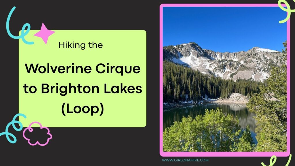
Mt. Wolverine and the Wolverine Cirque, located above Brighton Ski Resort in Utah's Big Cottonwood Canyon, are best known as a popular winter backcountry skiing destination. But in summer and fall, this scenic area transforms into one of the most rewarding alpine loop hikes in the Wasatch Mountains. Even better, if you're a peak bagger, this route offers the chance to summit up to six peaks in a single day!

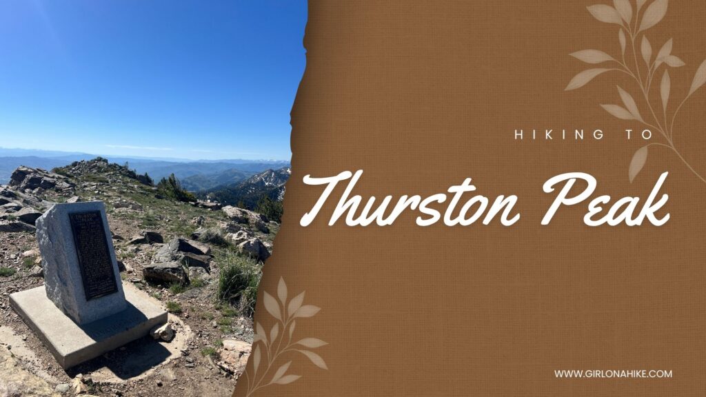
Thurston Peak (9,706 ft) is the highest point in both Davis County and Morgan County, Utah. Located along the Wasatch Mountains, this scenic summit is often overlooked because nearby Francis Peak is topped with the large white radar domes that dominate the ridgeline. However, it is Thurston Peak that claims the true high point.

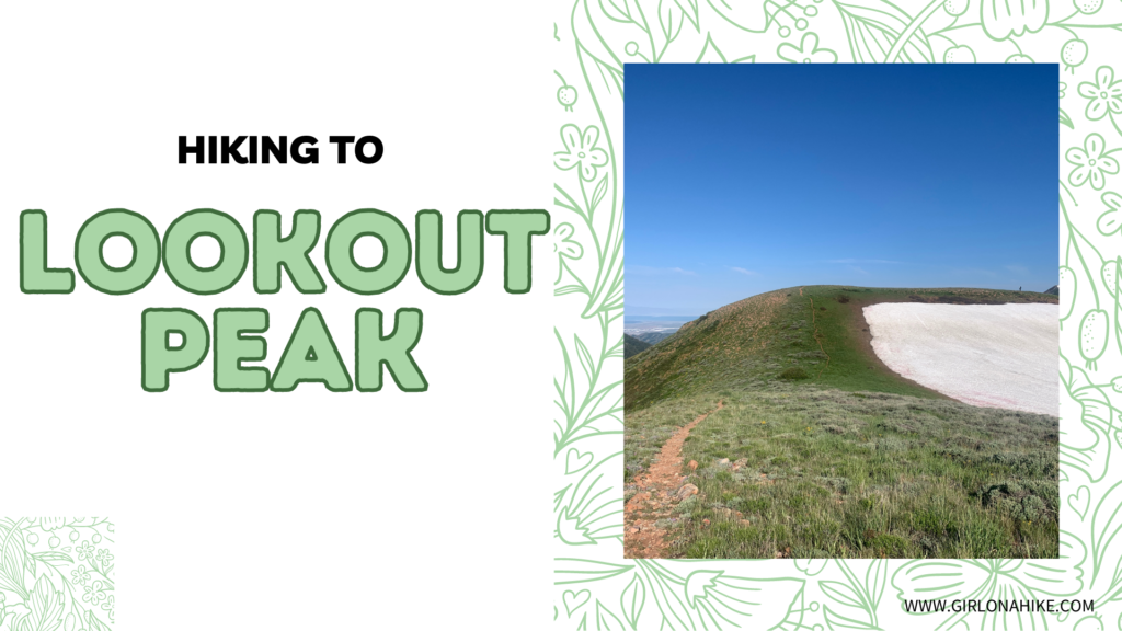
Lookout Peak sits at an elevation of 8,954 ft up Killyons Canyon in Salt Lake County. The summit is not the most spectacular, but the ridge on the hike up offers fantastic views of Parley's Canyon, Emigration Canyon, and City Creek Canyon.
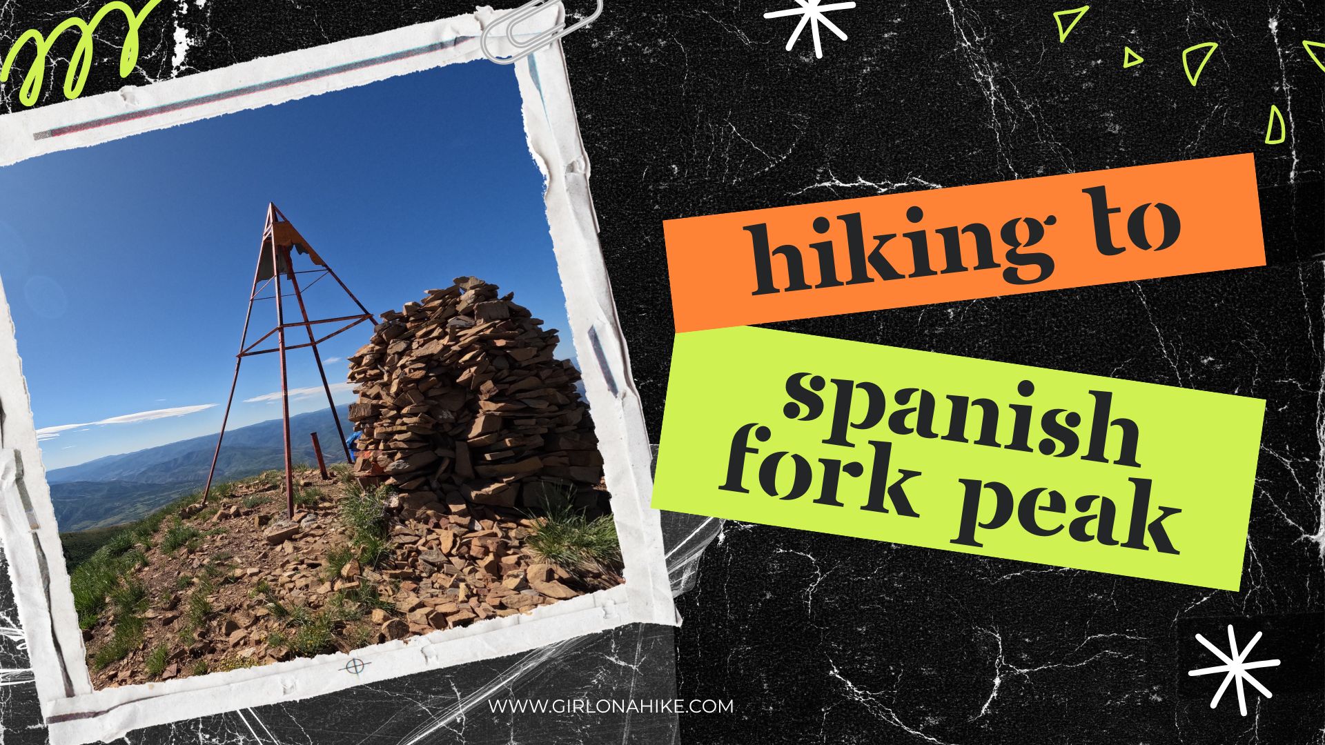

🏔️ Hiking Spanish Fork Peak: A Challenging Yet Rewarding Adventure in Utah
Spanish Fork Peak (elevation 10,192 ft) rises impressively as you drive along Highway 6 towards Price, Utah. Nestled between two prominent summits—Provo Peak to the north and Santaquin Peak to the south—this stunning mountain stands alone and commands attention.

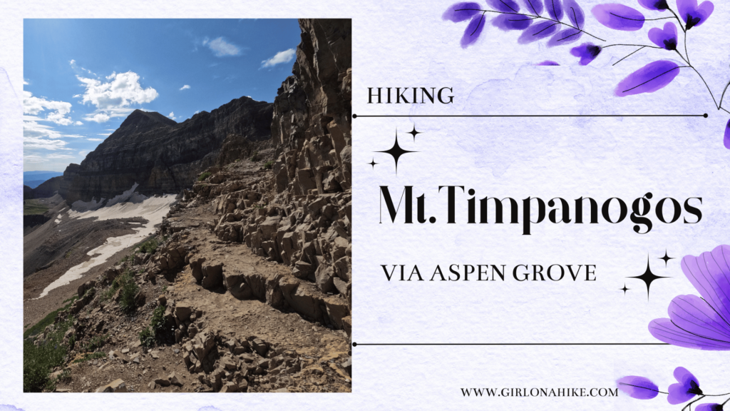
Hiking Mt. Timpanogos (11, 752 ft) is one of the higher peaks in the Wasatch Front, coming in 2nd behind Mt. Nebo. Though Mt. Nebo is the tallest peak in the Wasatch Mountains, it sees less than half the amount of hikers than "Timp" (as us locals call it) does. Hiking Mt. Timpanogos is almost a rite of passage for many Utahans - once completed, many will openly offer up their experience, advice, and how many times they've summited.

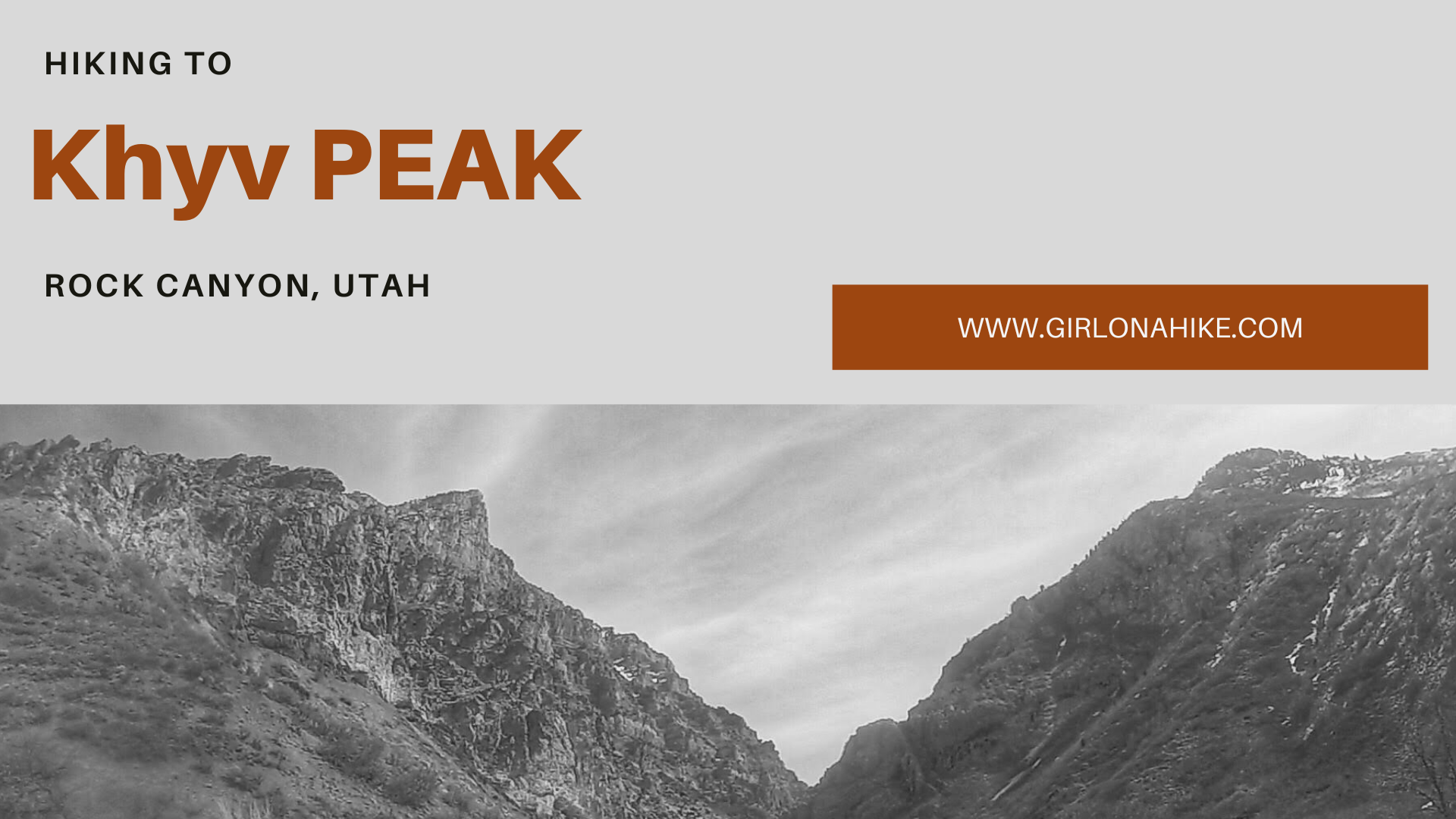
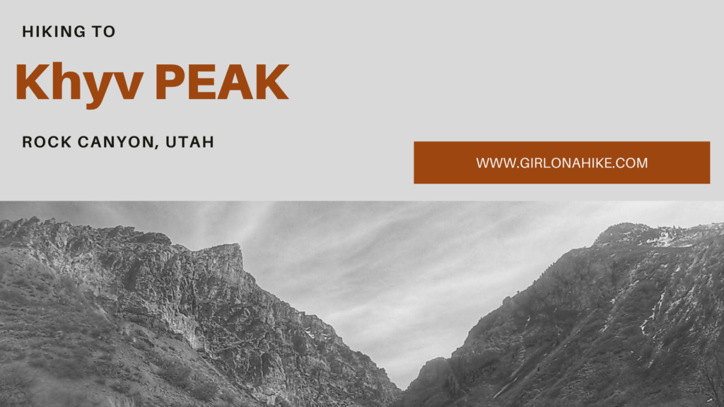
Hiking to Kyhv Peak (formerly known as Squaw Peak until September 2022) leads you up Rock Canyon in Provo, Utah overlooking BYU, Utah County, and Utah Lake at an elevation of 7,859 ft. You can read about why the name was changed here.


Hiking to Ensign Peak offers unparalleled views of the Great Salt Lake as well as the Wasatch Mountains, and Salt Lake County.
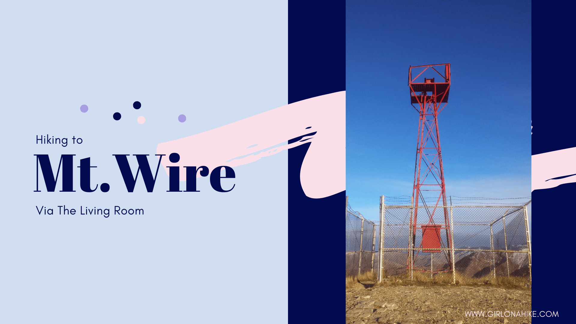

Mt. Wire is a small mountain that overlooks the University of Utah, Emigration Canyon, and Red Butte Canyon. It is conveniently close and can be hiked year-round.