

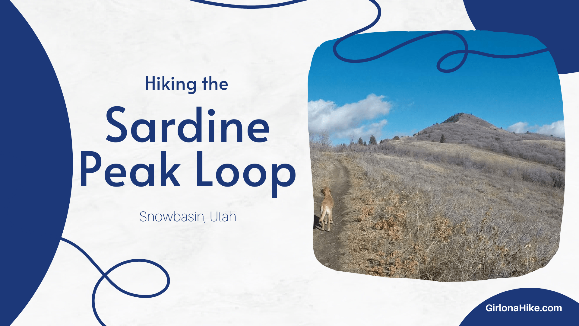

Sardine Peak Loop: Scenic Hike with Views of Ogden Canyon
The Sardine Peak Loop begins at Snowbasin Ski Resort and offers an easy yet rewarding hike, leading to the stunning Ogden Canyon Overlook and surrounding canyon vistas. This 9-mile loop is a great choice for those seeking a relatively gentle hike with incredible views.

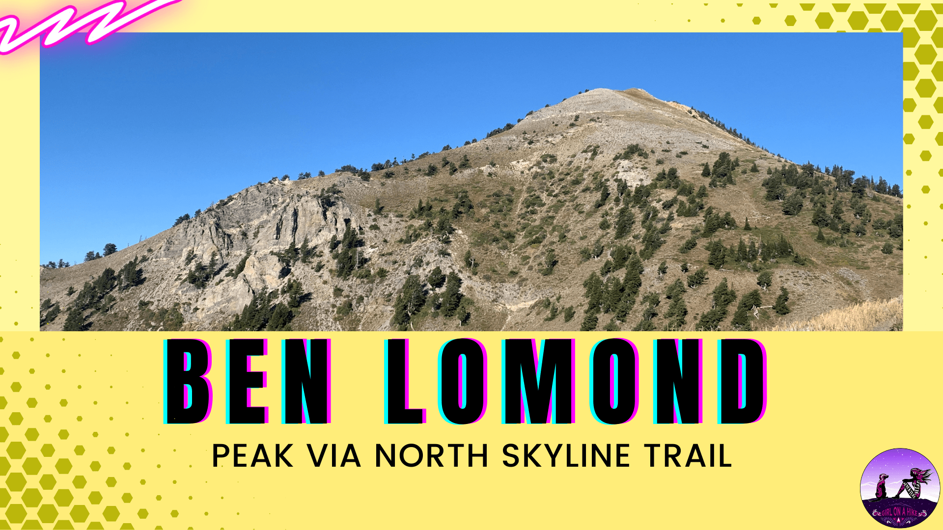
Ben Lomond Peak is the prominent peak above Ogden, Utah in the Northern Wasatch Mountains and sits at an elevation of 9,711 ft! About Ben Lomond Peak can be access from four different trails - North Skyline Trail (this blog post), Willard
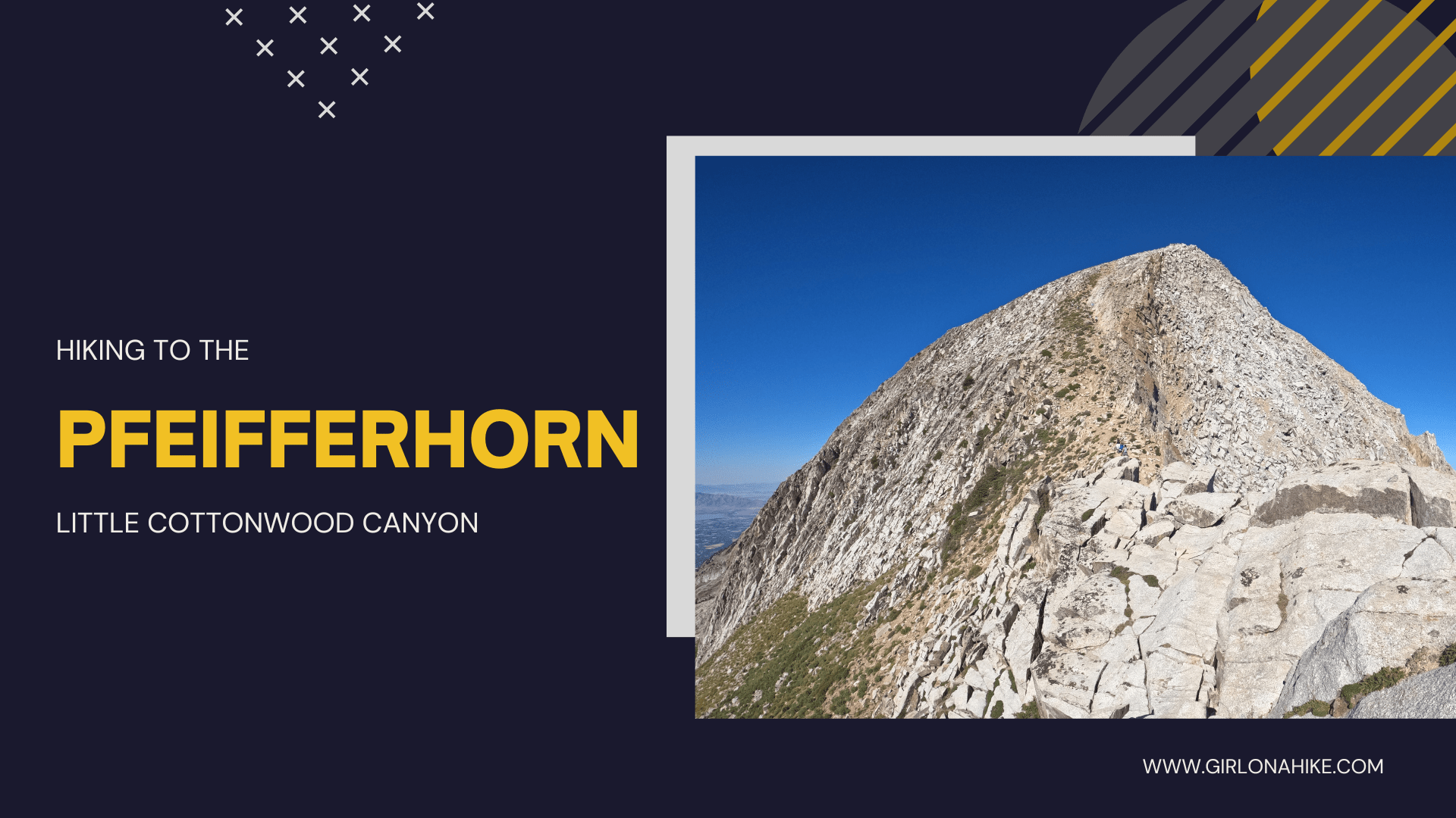
Hiking to the Pfeifferhorn in Little Cottonwood Canyon is a peak baggers dream! This peak sits at an elevation of 11,329 ft! About The trail follows forested route that passes an alpine lake, Red Pine Lake, before reaching the ridge, and then
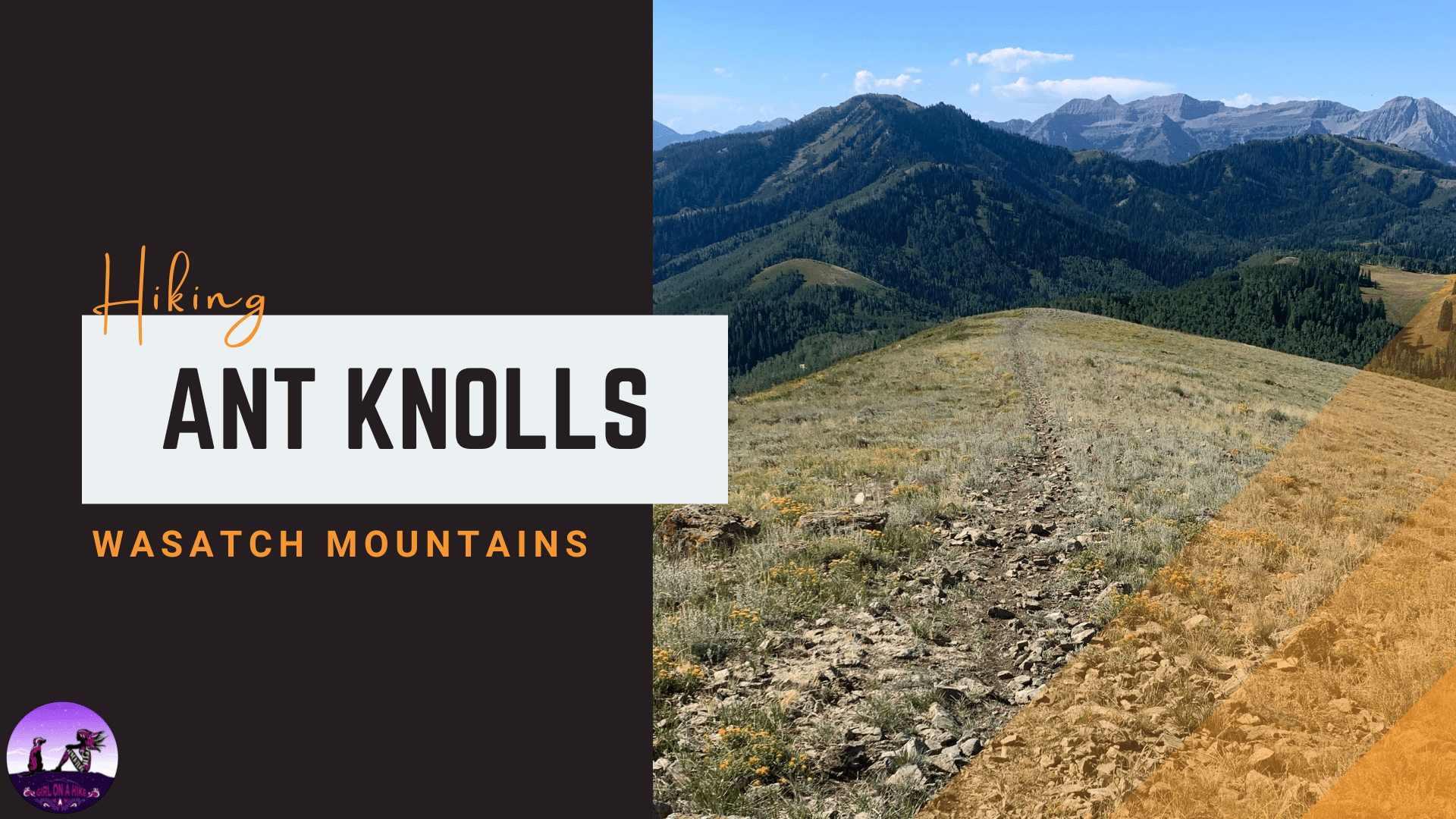
Ant Knolls (9.852 ft) is a nice peak on the backside of the Wasatch Mountains, near Midway, Utah. The summit offers amazing views into American Fork Canyon, and into the Heber Valley.
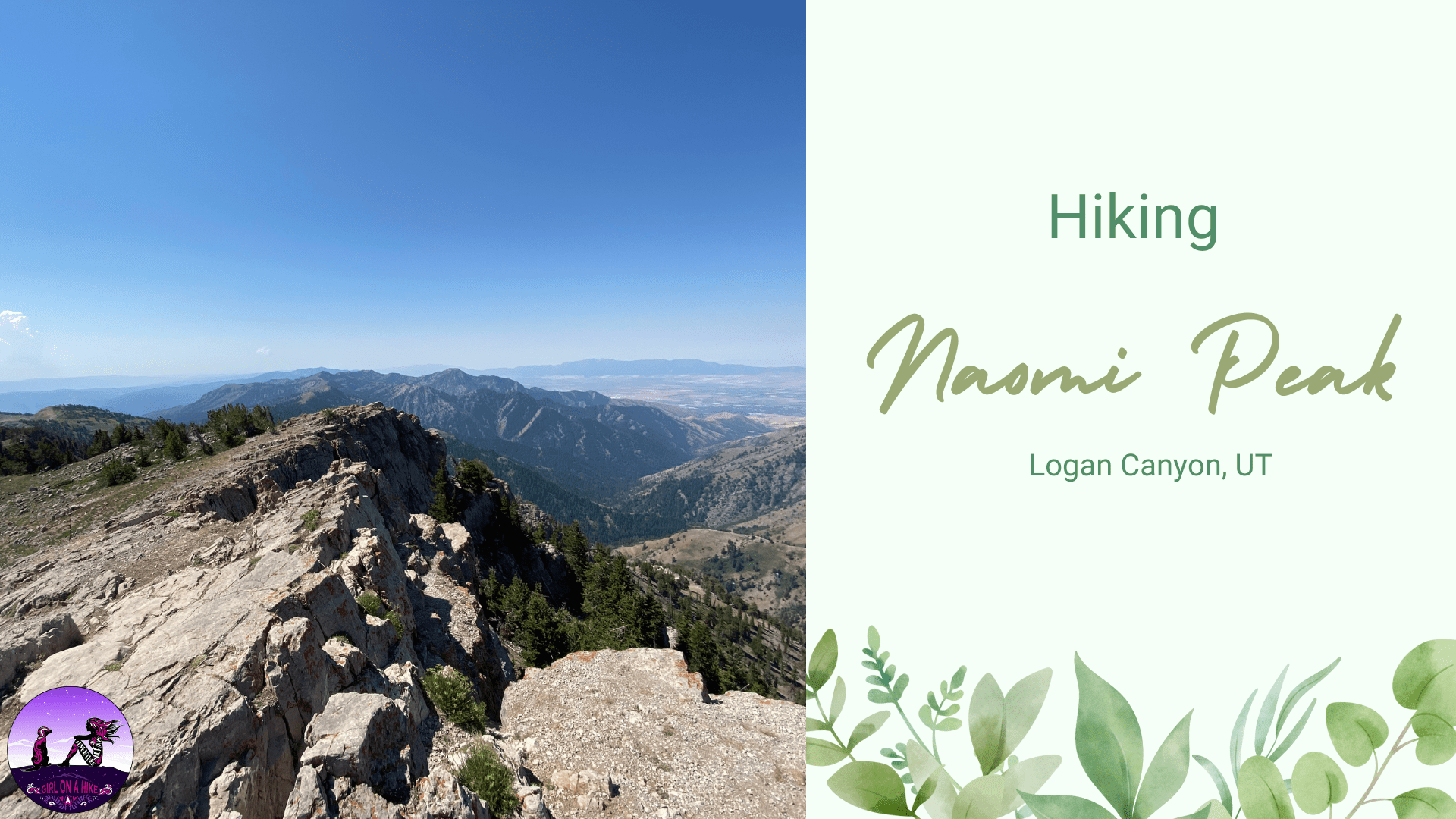

Naomi Peak (9,983 ft) is the highest point in the Bear River Mountains, in Northern Utah.
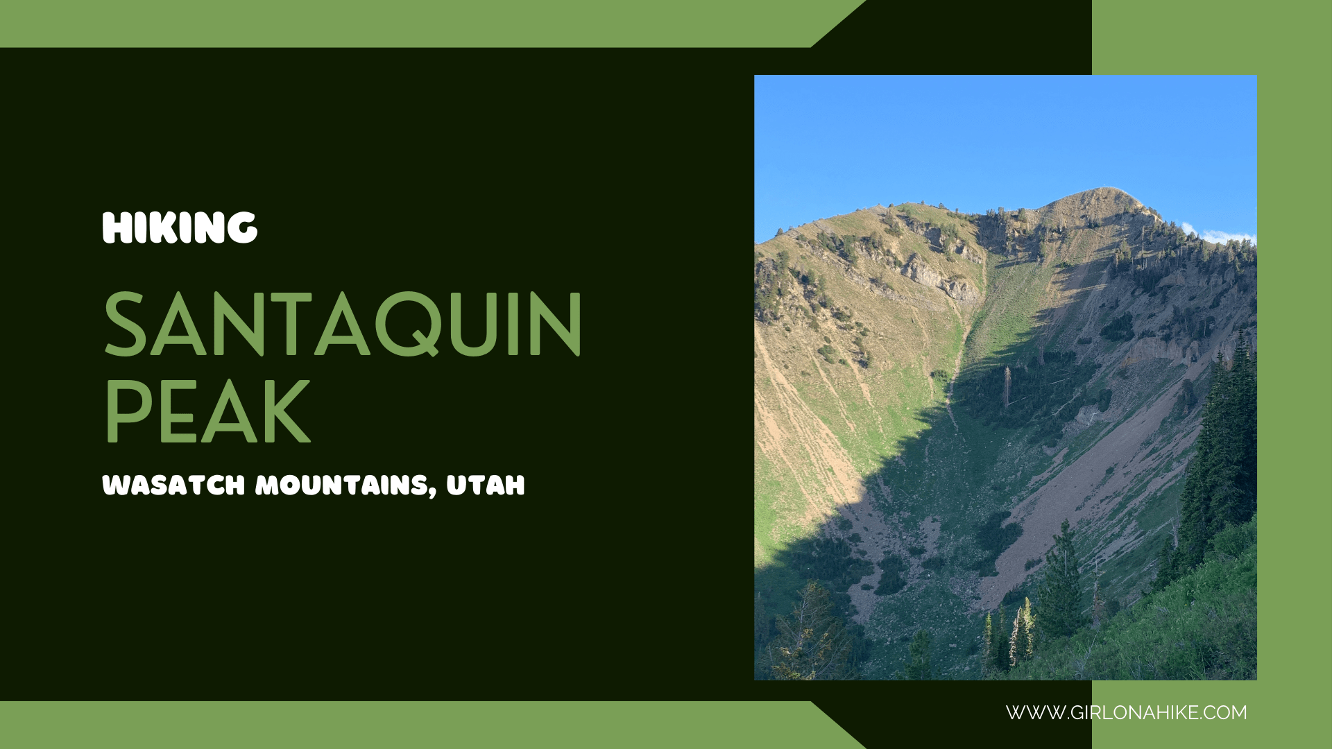

Santaquin Peak & Loafer Mountain are the peaks above, well, Santaquin, Utah and are in between the famous Mt. Nebo (tallest peak in the Wasatch) and Spanish Fork Peak.
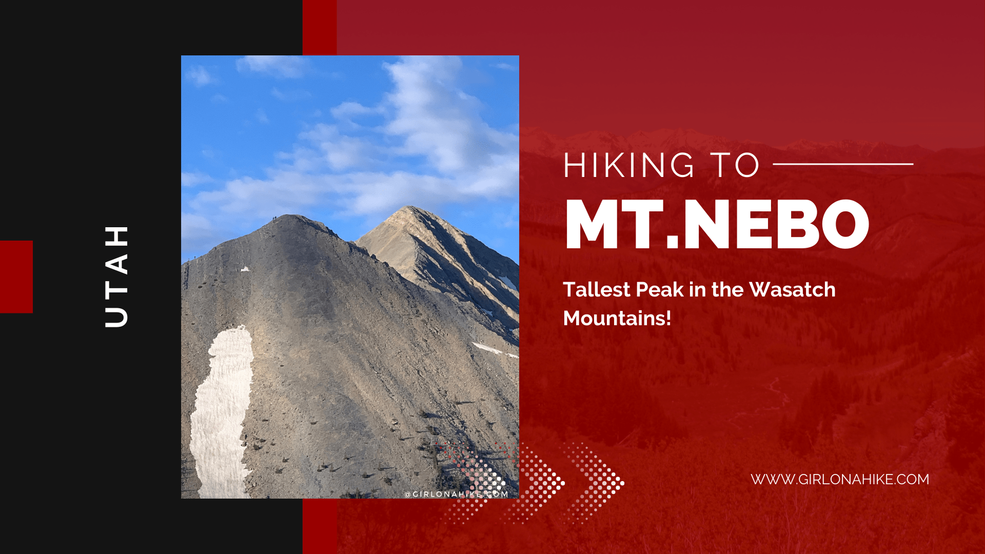
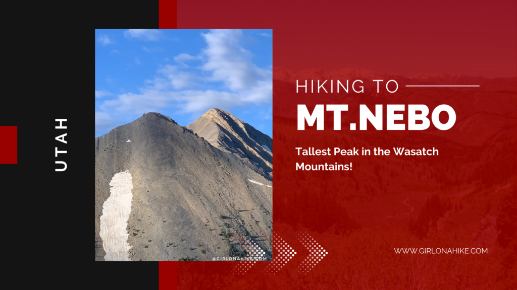
Mt. Nebo (11,929 ft) is the highest peak in the Wasatch Mountains. and Utah County. Mt. Nebo actually has two summits, the north and south, with the North being the higher of the two.
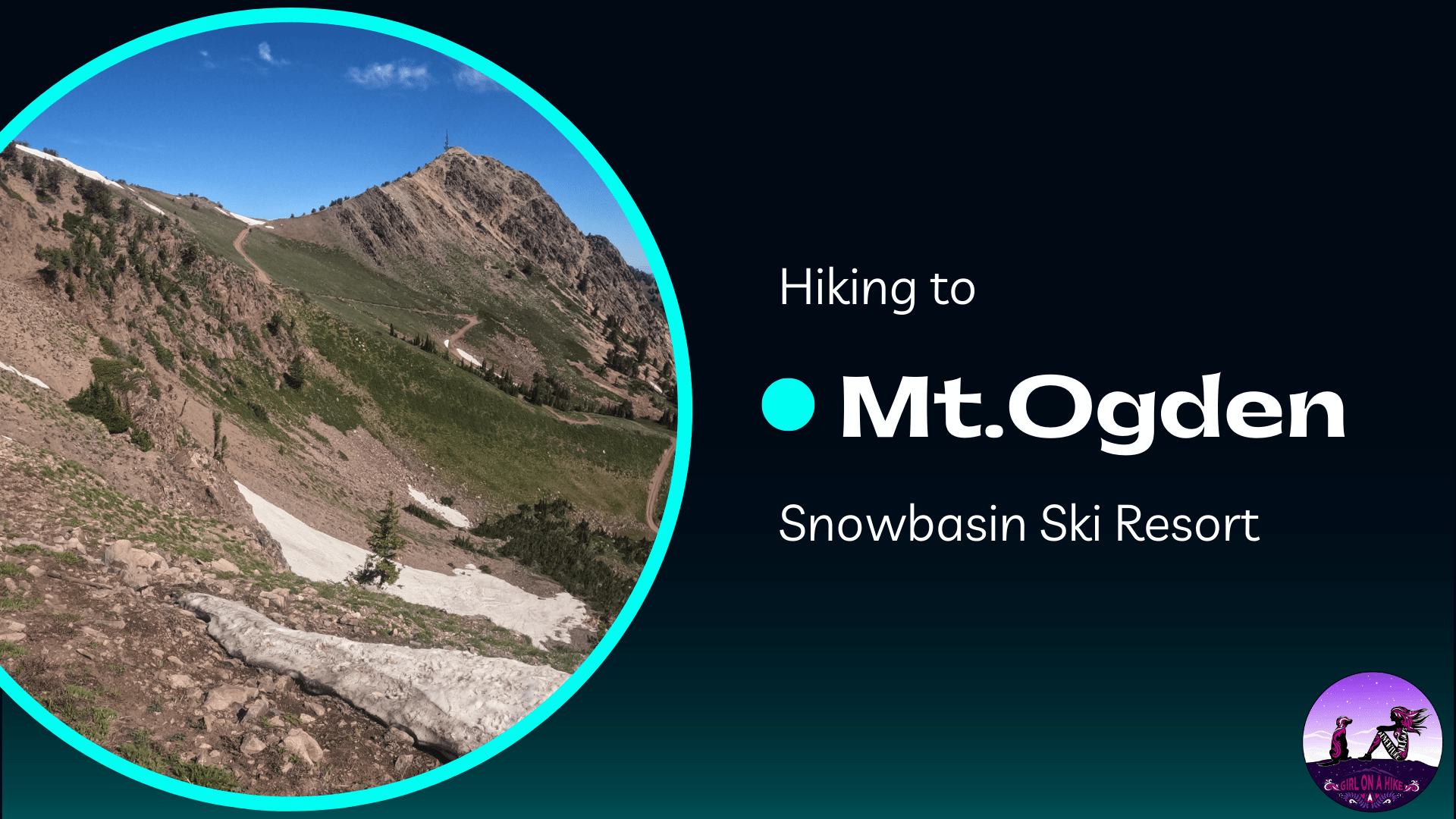
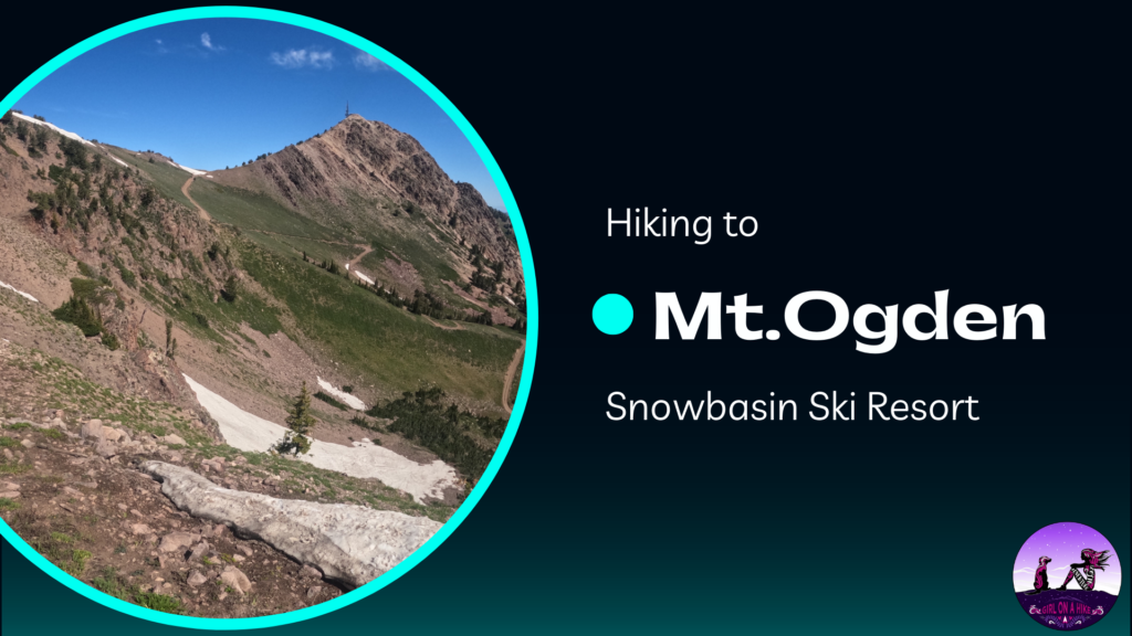
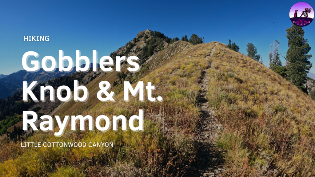
Mt. Ogden (9,579 ft) is home to Snowbasin Ski Resort, where the 2002 Winter Olympic downhill ski races were held. This is a popular summit during the summer when hikers are able to either hike from the base of the mountain, or take the gondola up to the Needles Lodge then traverse to the peak. There are multiple ways you can summit Mt. Ogden - Snowbasin, Taylor's Canyon, Beus Canyon, or Waterfall Canyon. Rock climbing is available on the East facing slabs of Mt. Ogden.
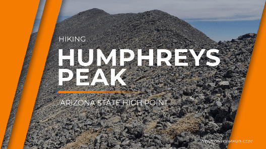
Humphreys Peak is the Arizona State High Point, and sits at 12,637 ft! Located within the Kachina Peaks Wilderness and Coconino National Forest, Humphreys Peaks is the highest of a group of dormant volcanic peaks known as the San Francisco Peaks. About Along this 5