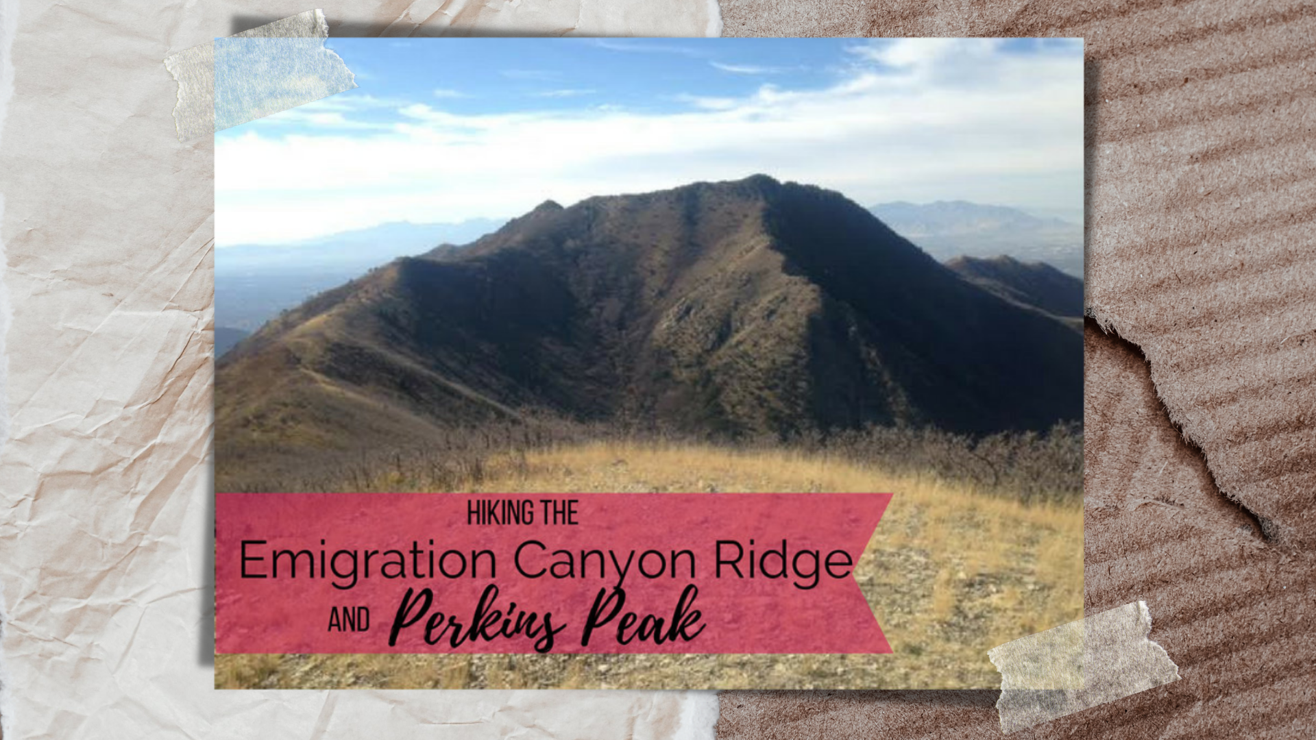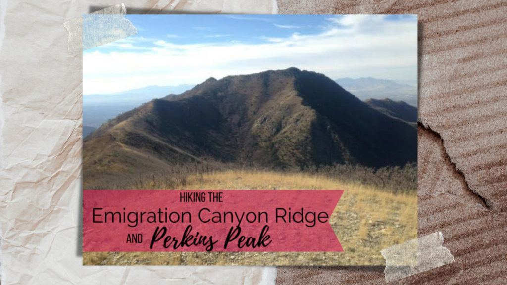
Hiking Emigration Canyon Ridge to Dale and Perkins Peaks – A Hidden Gem Near Salt Lake City
The Emigration Canyon Ridge Trail is a hidden gem nestled between Parley’s Canyon and Emigration Canyon, just east of Salt Lake City, Utah. Starting from the well-known Little Mountain Summit, a popular destination for road cyclists and runners, this scenic ridge hike remains relatively unknown—yet anyone who has driven through Parley’s Canyon has unknowingly passed right below it.
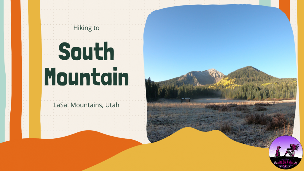
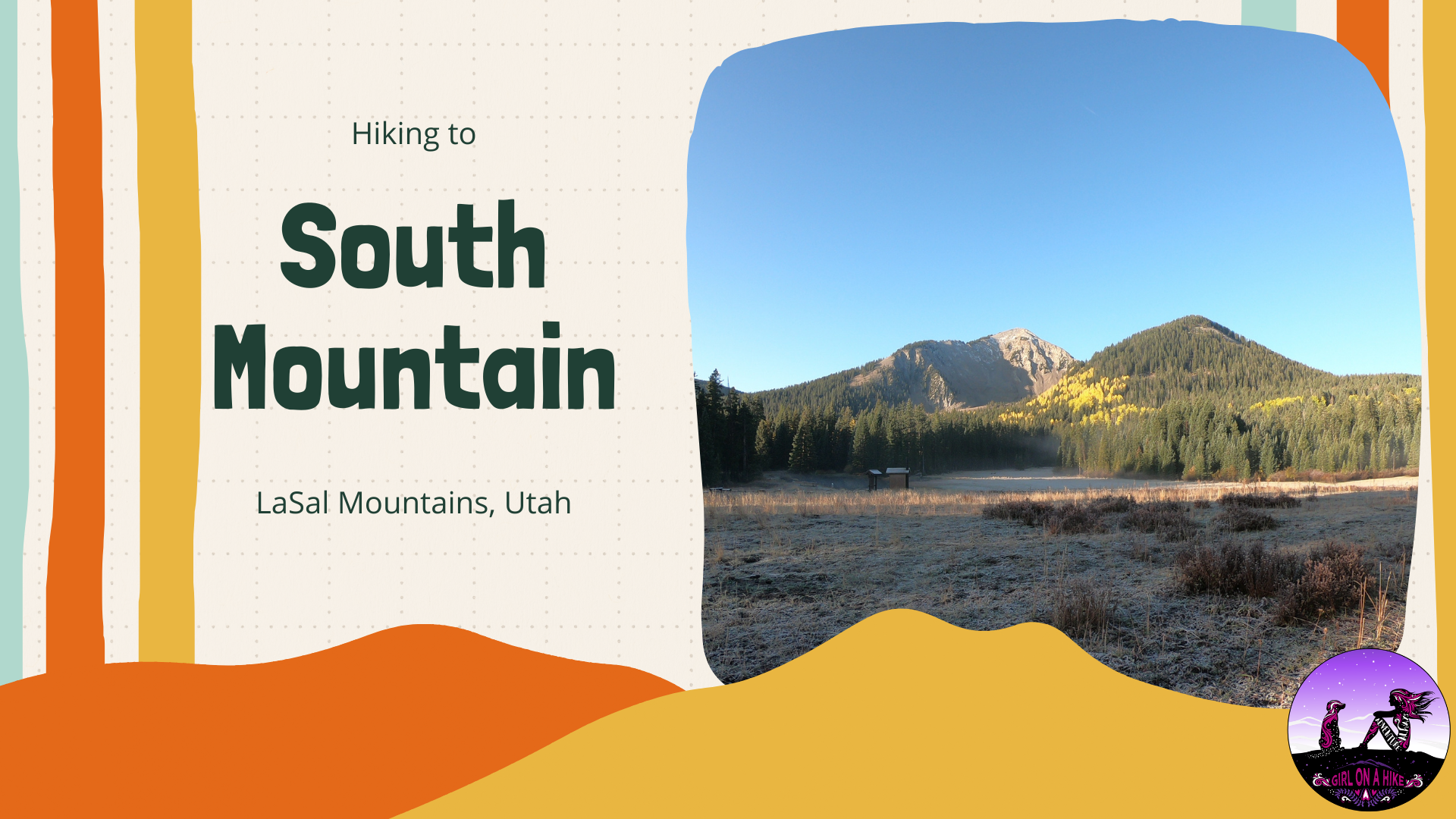
South Mountain (11,817 ft) is located on the very South end of the LaSal Mountains just outside of Moab, Utah.
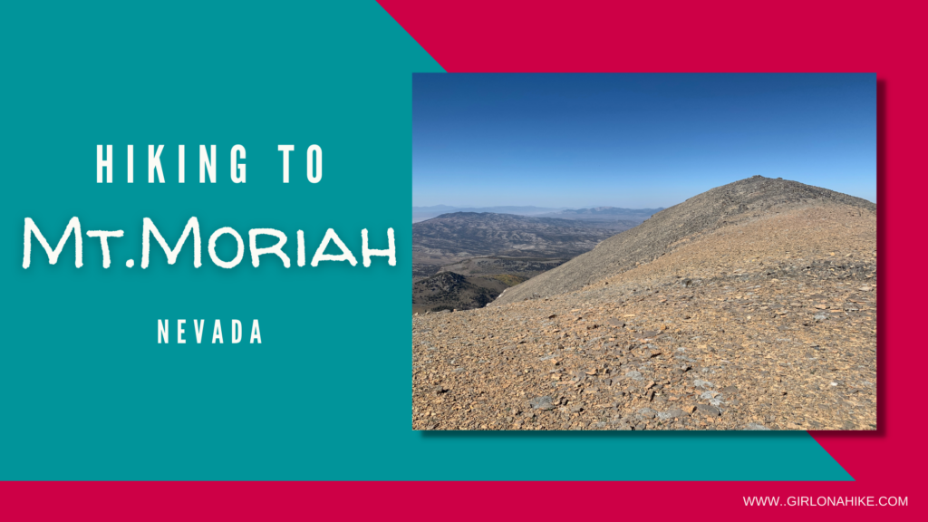
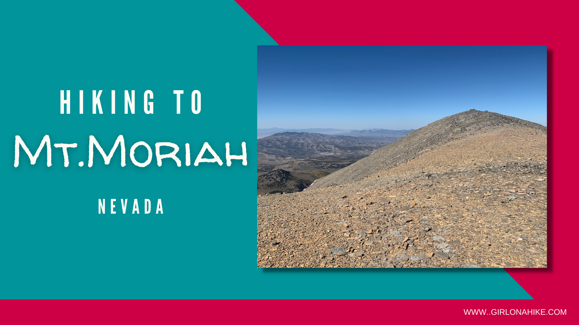
Mt.Moriah (12,073 ft) is located within Mount Moriah Wilderness in Nevada. This peak is often overlooked by its neighbor to the South, Wheeler Peak, in Great Basin National Park. But that is what I loved about this area - we passed very few people on the roads, and literally no one on the trail! Mt.Moriah is very remote and 4WD and high clearance is needed to reach the trailhead.
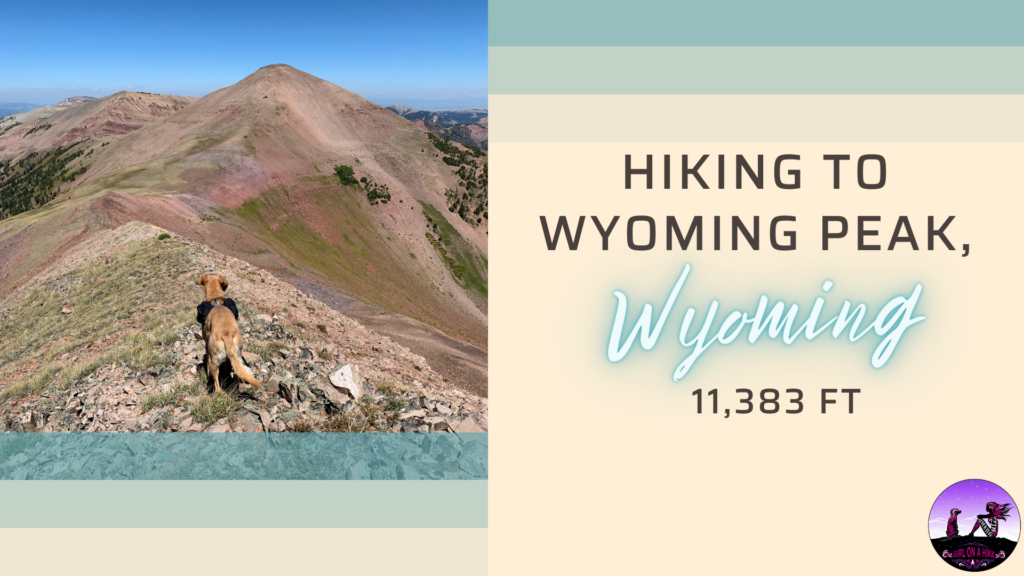
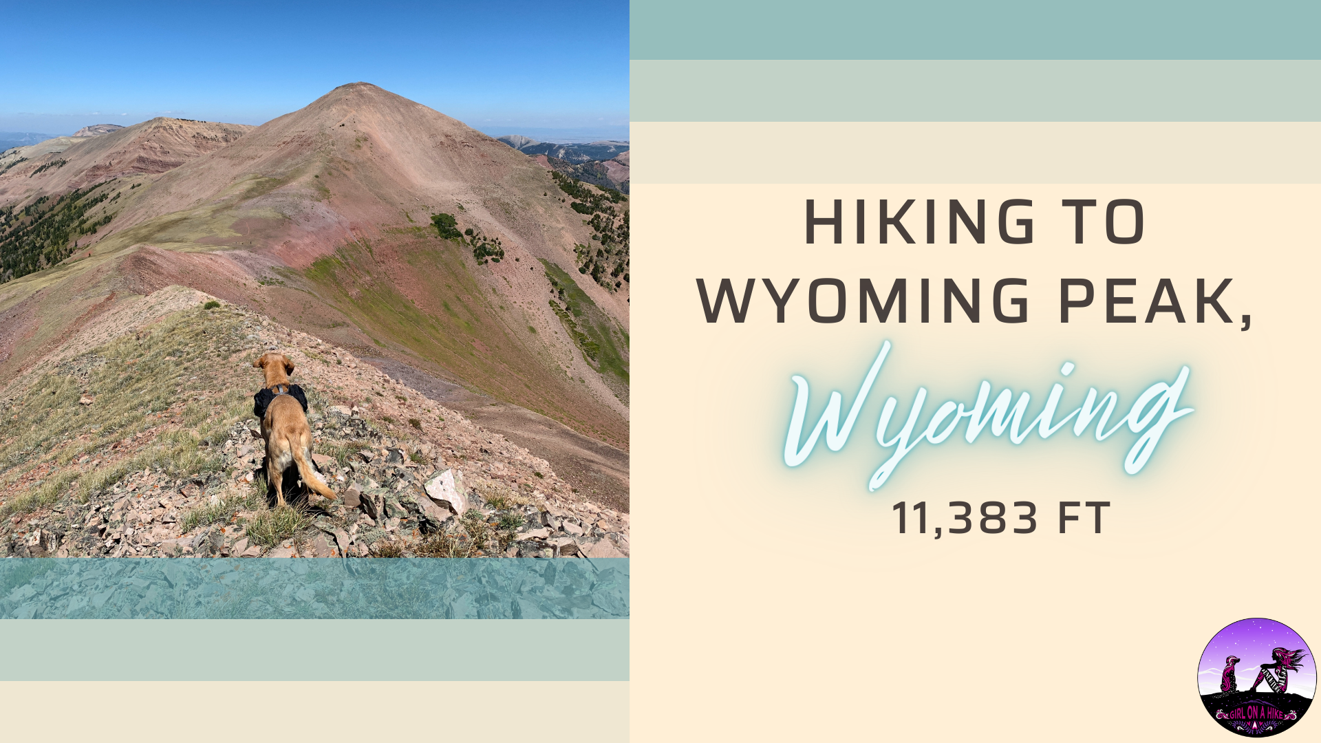
Wyoming Peak (11, 383 ft) is the tallest mountain in the Wyoming Mountain Range, located in West-Central Wyoming. On the summit lies an old fire lookout in shambles, but don't let that distract from the rest of the breathtaking views!
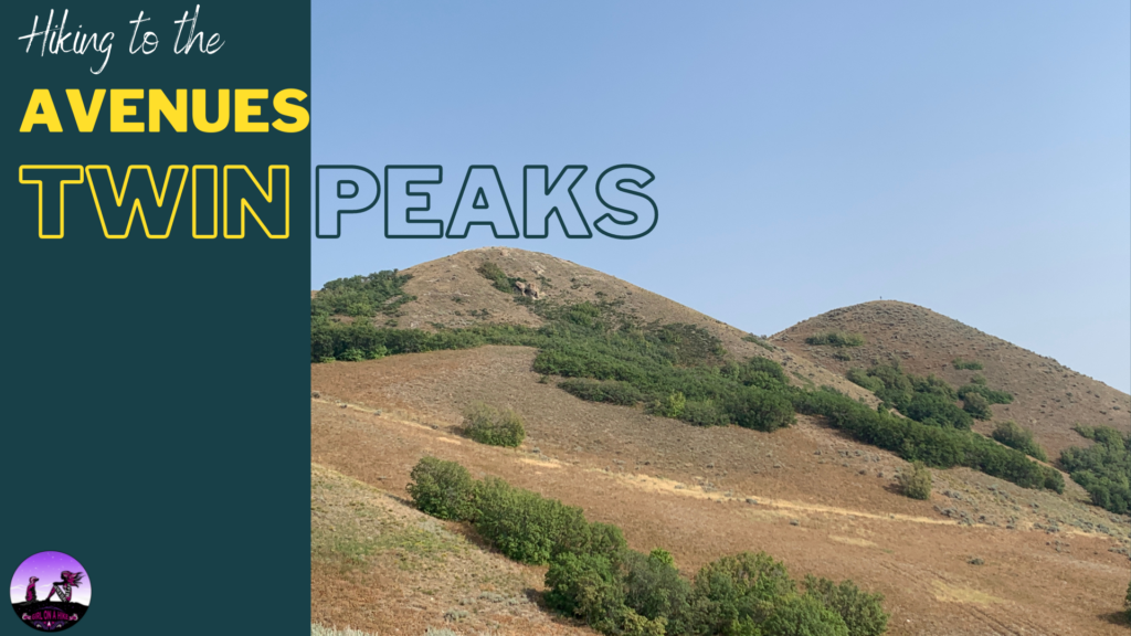
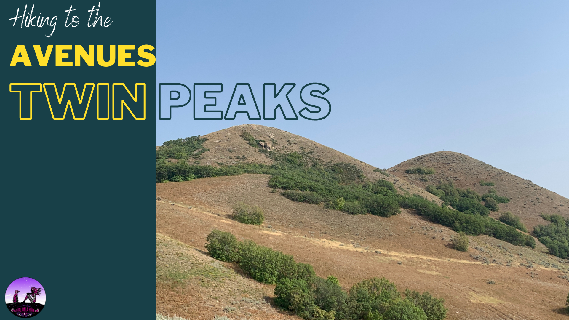
The Avenues Twin Peaks is another one of my go-to after work hikes. This hike is the most beautiful in Spring during Sunset, when the yellow flowers are blooming, the hills are green, and the temperature is just right; however this trail can be hiked year round. The Avenues Twin Peaks is almost always windy, so a light jacket is recommended. There is no water and no shade, and the trailhead is a popular spot for mountain bikers to depart on their ride.
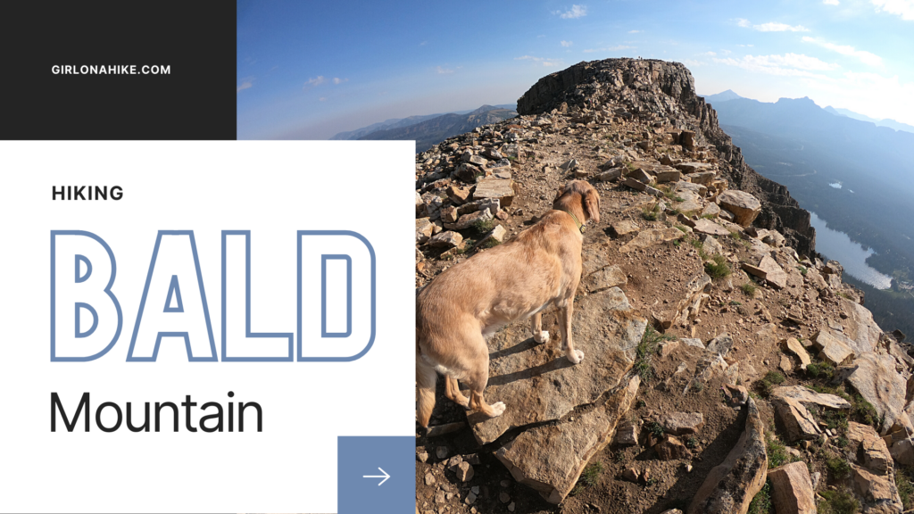
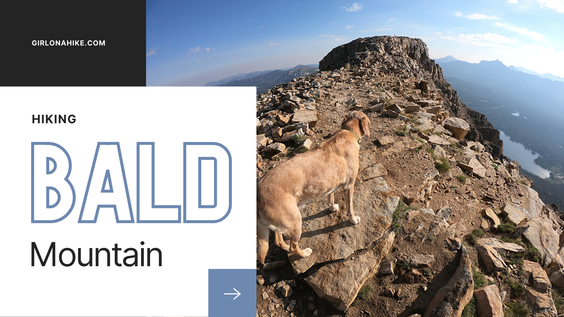
Bald Mountain (11,942 ft) in the High Uintas Wilderness is one of my favorite peaks to summit. Not only is this peak one of the easiest to summit in the area, but it also offers grand views of the Mirror Lake Highway, surrounding lakes, several peaks, and on a clear day you can see Mt. Timpanogos. Along the Bald Mountain trail you may see mountain goats, pika, squirrels, and an abundance of wildflowers in early summer. As with any high altitude terrain, start this hike early in the day to beat the daily afternoon thunderstorms, the afternoon heat, and crowds.
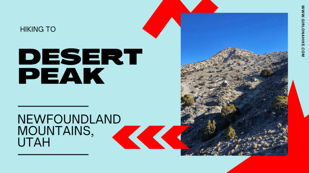
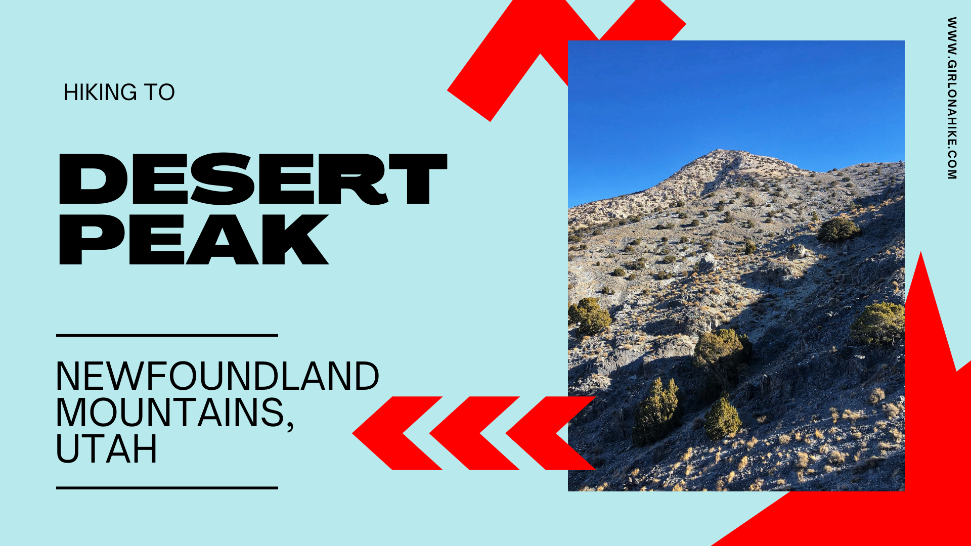
Desert Peak (7,005 ft) is located in the Newfoundland Mountains in the Great Salt Lake, and is the highest point in the range. Getting to the unofficial trailhead takes quite a bit of effort, and it is very tricky timing it at just the right time of year. Because it's located in the middle of the Salt Flats, any recent precipitation will leave the dirt roads completely muddy and rutted out. There is zero cell service, so you don't want to risk getting stuck.
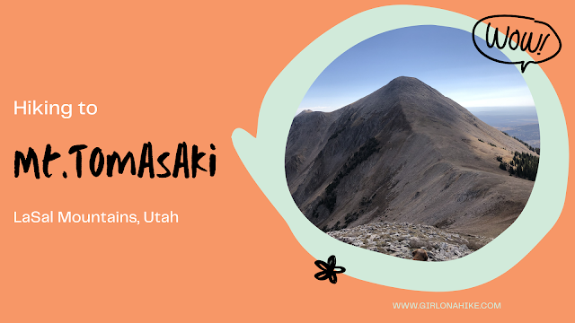
Mt. Tomasaki Hike – La Sal Mountains, Utah
Hiking Mt. Tomasaki in the La Sal Mountains offers an unforgettable alpine experience. As one of Utah’s seven ‘12ers,’ Mt. Tomasaki (12,239 ft) features rugged trails, panoramic views, and high-elevation challenges.”
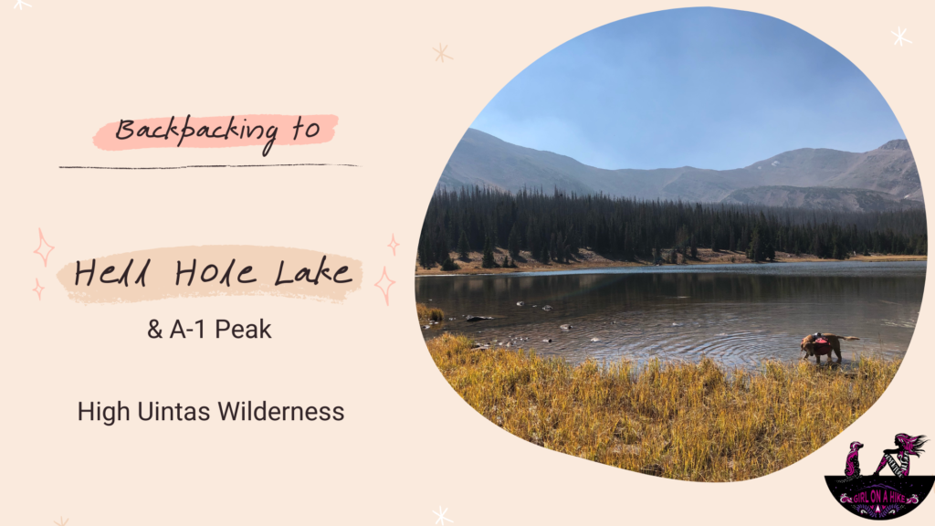
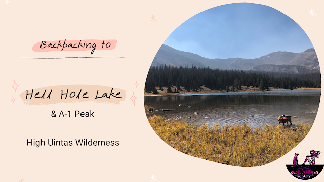
Hiking to Hell Hole Lake in the High Uintas Wilderness
Hell Hole Lake is a scenic alpine lake tucked deep in the High Uintas Wilderness of Utah. Surrounded by rugged peaks like A-1 Peak and Kletting Peak, this secluded lake offers a peaceful backcountry experience away from crowds. Reaching the lake involves a moderately challenging hike that totals 6.7 miles one way, with an elevation gain of around 1,700 feet—a gradual incline that’s manageable for most hikers and backpackers.
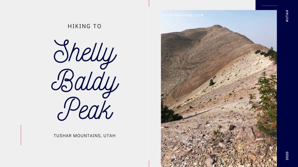
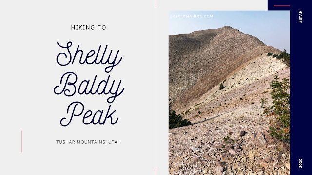
Shelly Baldy Peak (11, 321 ft) is one of the many prominent peaks located in the Tushar Mountains within Fishlake National Forest.


