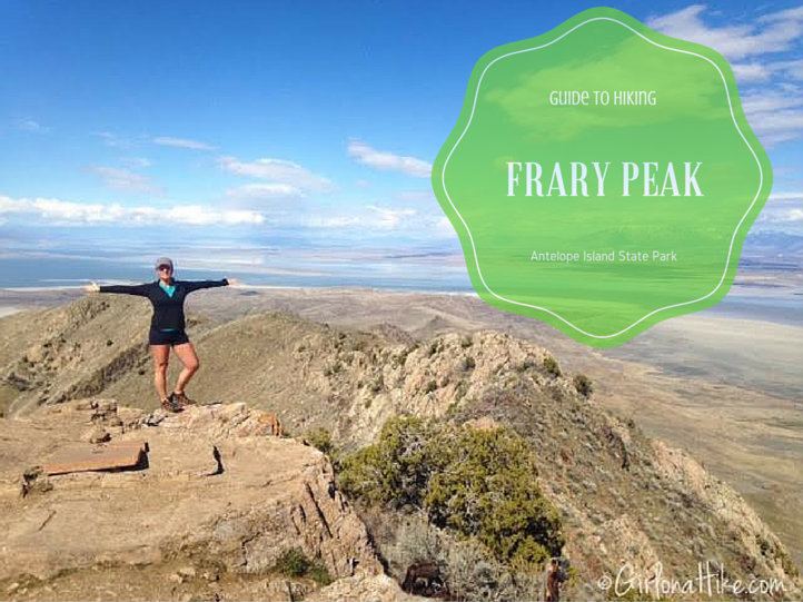
Hiking Frary Peak – The Highest Point on Antelope Island
Frary Peak (6,596 ft) is the highest point on Antelope Island State Park, located in the Great Salt Lake of northern Utah. This stunning hike offers panoramic 360° views of the lake, the Wasatch Mountains, and surrounding valley cities. It’s one of the most rewarding summit hikes close to Salt Lake City and a must-do for outdoor enthusiasts visiting the island.
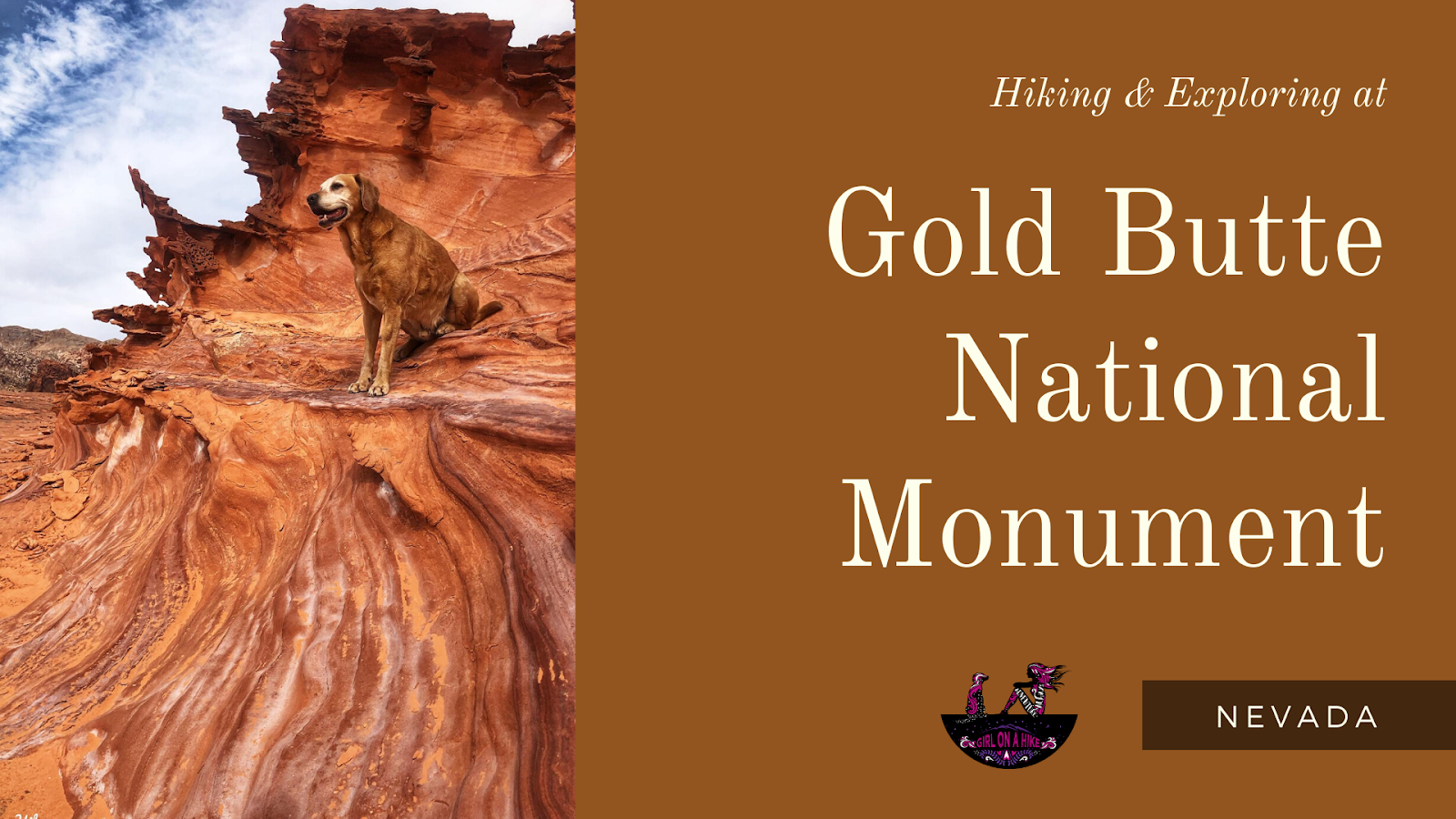
Exploring Gold Butte National Monument – Nevada’s Hidden Gem
Gold Butte National Monument (GBNM) is a stunning and remote destination located in southeastern Nevada, just 2 hours northeast of Las Vegas and 1 hour south of Mesquite. Established in 2016, the monument spans over 300,000 acres and offers a unique mix of vibrant sandstone formations, ancient rock art, desert wildlife, historic mining sites, natural arches, and even a ghost town.
Whether you're an ATV enthusiast, hiker, or geology lover, Gold Butte offers something for everyone.
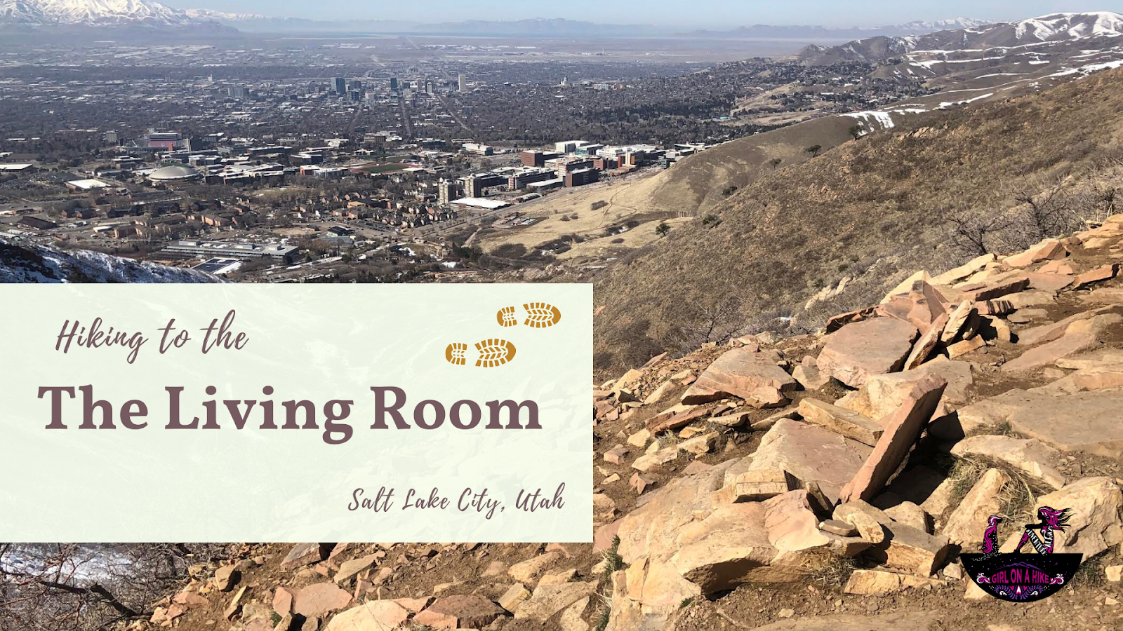
The Living Room Trail is one of SLC's most popular hike. At only 2 miles round-trip, this overlook provides one of the best views looking down to the city. There are several routes to reach The Living Room, which is home to several rock "lazy boys" and "couches". If you hike up here on a Friday night or during the day on the weekends, The Living Room can get really crowded. I've been up there when 40-50 people are all trying to see the sun set, or just relax and drink a beer. The Living Room sits behind the Natural History Museum along the Bonneville Shoreline Trail (BST). This is a popular hike to bring along dogs, kids, and the whole family and it can be done in under 2 hours.
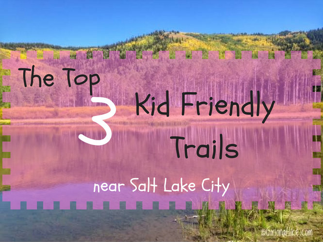
Look no further. I've created this list for those wanting to take the kids out for a hike, but aren't ready for an all day adventure. These 3 hikes range from 15 minutes to 2 hours, and can be safely hiked year round. No matter how long or short your hike, be prepared with at least one bottle of water per person, a small snack, and sun protection. For more tips when hiking with kids, read more of this post. Grab your hikin' boots, and let's hit the trails!

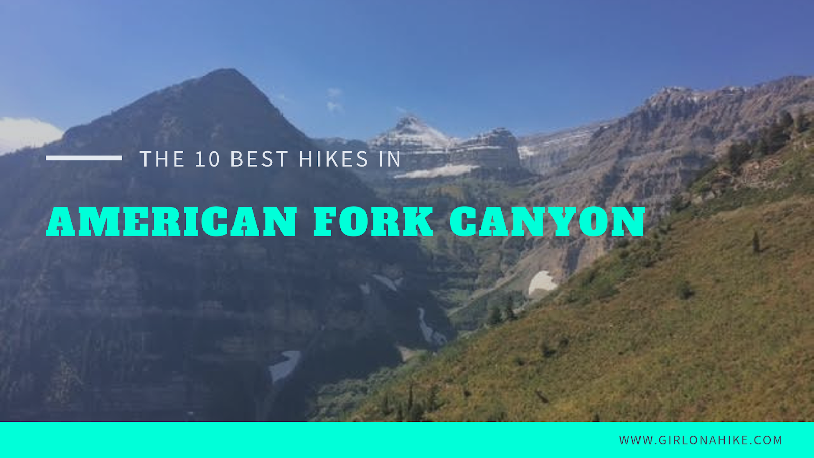
The Top 10 Hikes in American Fork Canyon (called AF Canyon by locals) are located near Lehi, Utah and home to the Timpanogos Cave National Monument and Alpine Scenic Loop Road. In summer, you can drive over the entire scenic loop