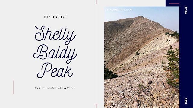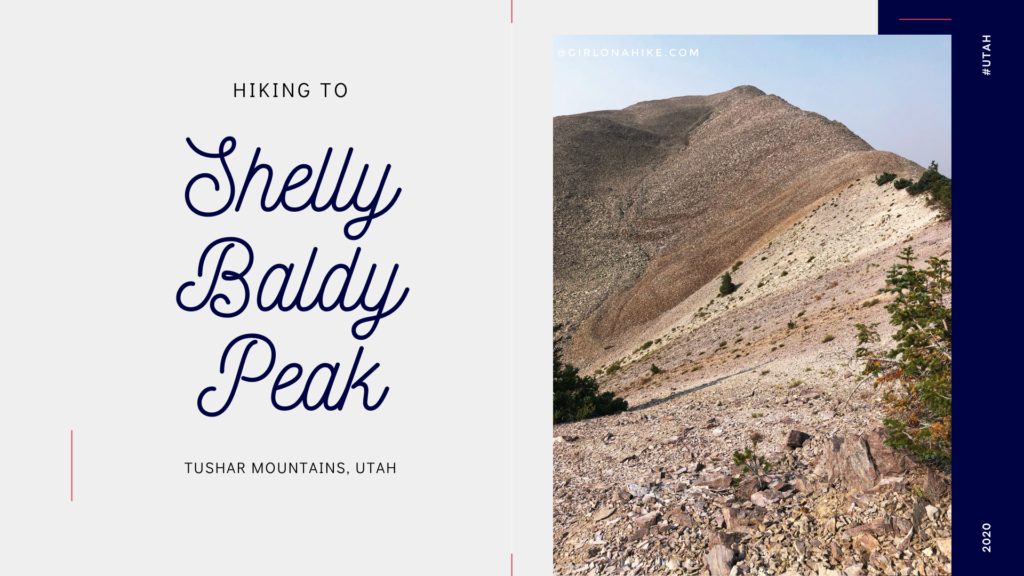
Shelly Baldy Peak (11, 321 ft) is one of the many prominent peaks located in the Tushar Mountains within Fishlake National Forest.
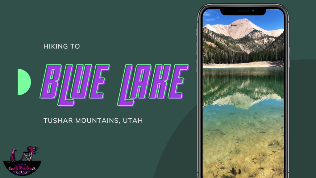
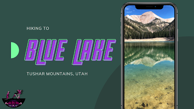
Blue Lake is located in the Tushar Mountains at the base of Mt.Belknap and Mt.Baldy. This turquoise blue lake has a flood control structure on the outlet, and is rimmed with downed trees. Most people haven't seen the lake full, yet the hike down it it offers amazing views of both peaks, as well as takes you through a variety of terrain - from forested sections to obvious avalanche paths, all while crossing streams.
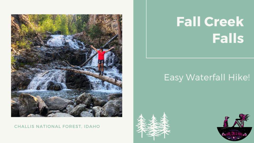
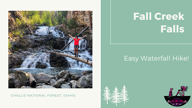
Fall Creek Falls is located in the Challis National Forest in the Wildhorse Creek area, about 45 minutes from the Mt.Borah Trail head. This is a super easy trail that anyone can do, dogs and kids included. The short 0.7 mile path leads to this beautiful cascading waterfall that has a viewing deck but if you're feeling adventurous, you can easily walk to the base or top of the falls. The best months to visit are June through October.
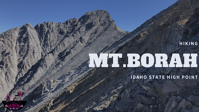
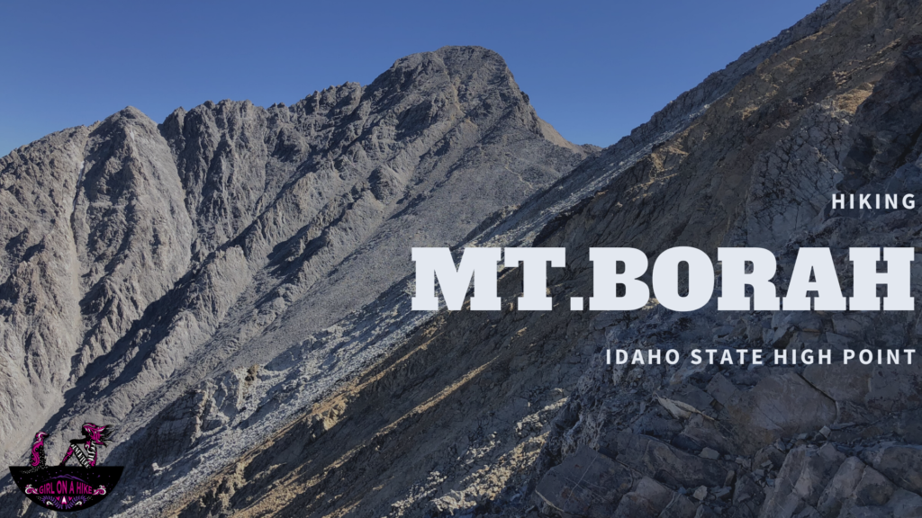 Hiking to Mt.Borah (12,662 ft), Idaho's state high point, is located in the Lost River Range within Challis National Forest. This peak is not for the faint of heart or weak.
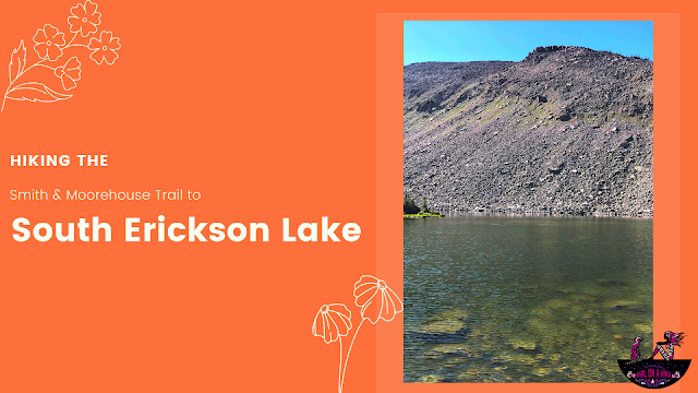
South Erickson Lake is a lake in the High Uintas Wilderness and can actually be accessed from two different trailheads.
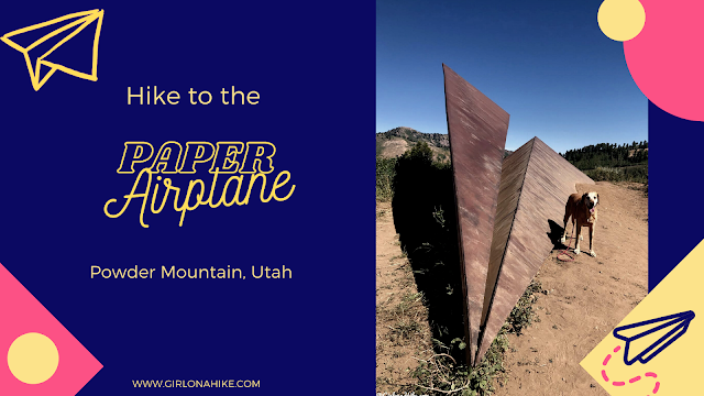
Hiking to the paper airplane at Powder Mountain Ski Resort is a fun hike for all ages and the pups on-leash! This super easy trail leads you to a giant metal airplane structure, acting as both a sculpture and obstacle for bikers riding the trails. The trail gradually descends roughly 150ft before reaching this 20 ft long "paper" airplane. The surrounding views of the ski resort and Wasatch Mountains are hard to beat - on a clear day you can see all the way to Mt.Timpanogos to the South, and into Idaho to the North! This trail is only accessible in Summer months.
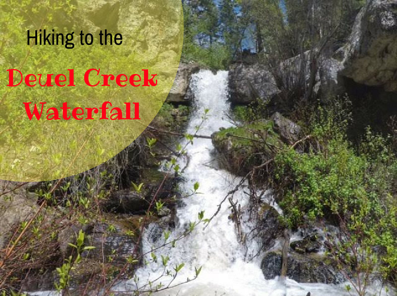
Deuel Creek (pronounced like do-ell) is located along the East bench in Centerville, UT just south of Parrish Creek and north of Holbrook Canyon.
