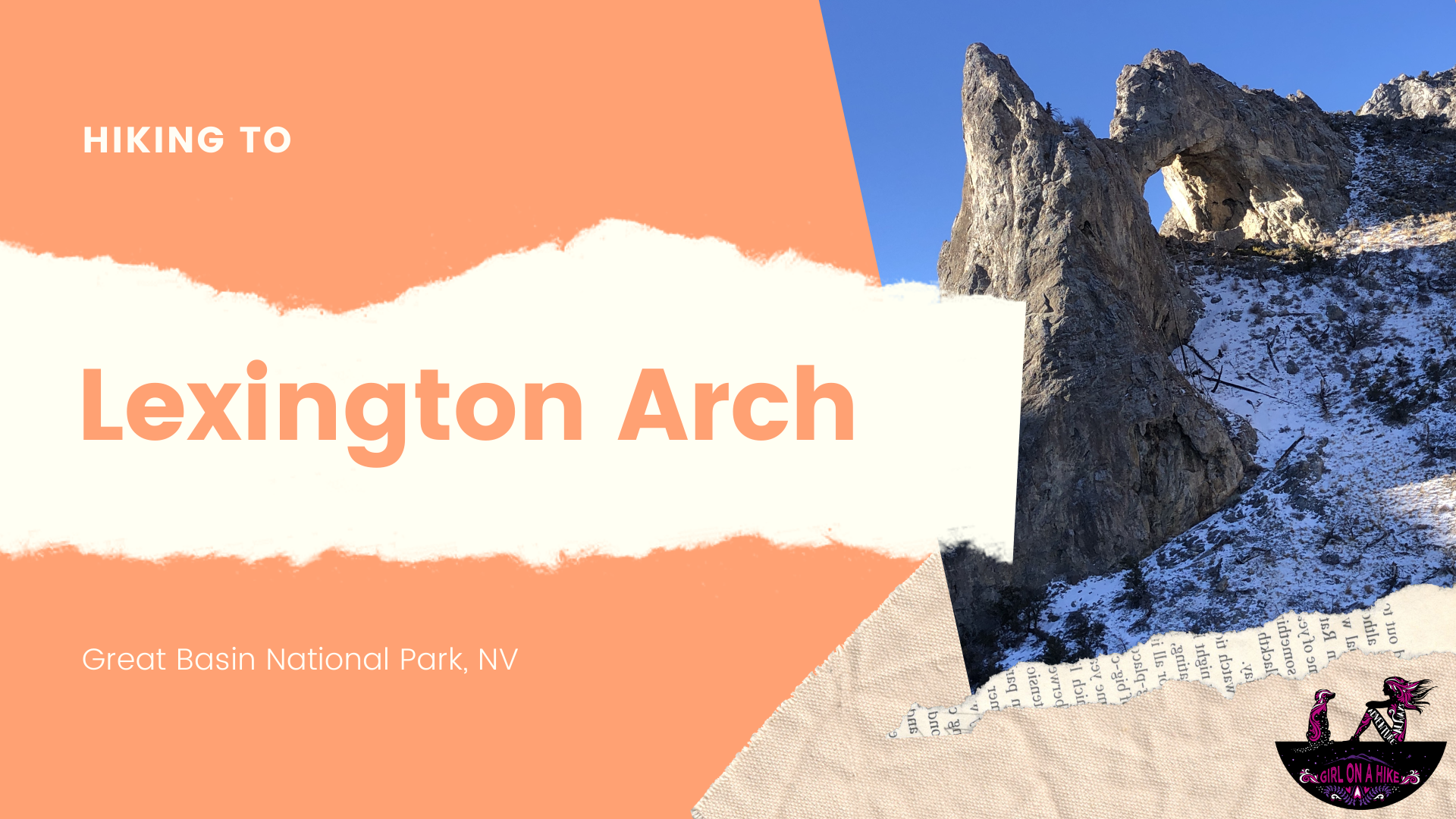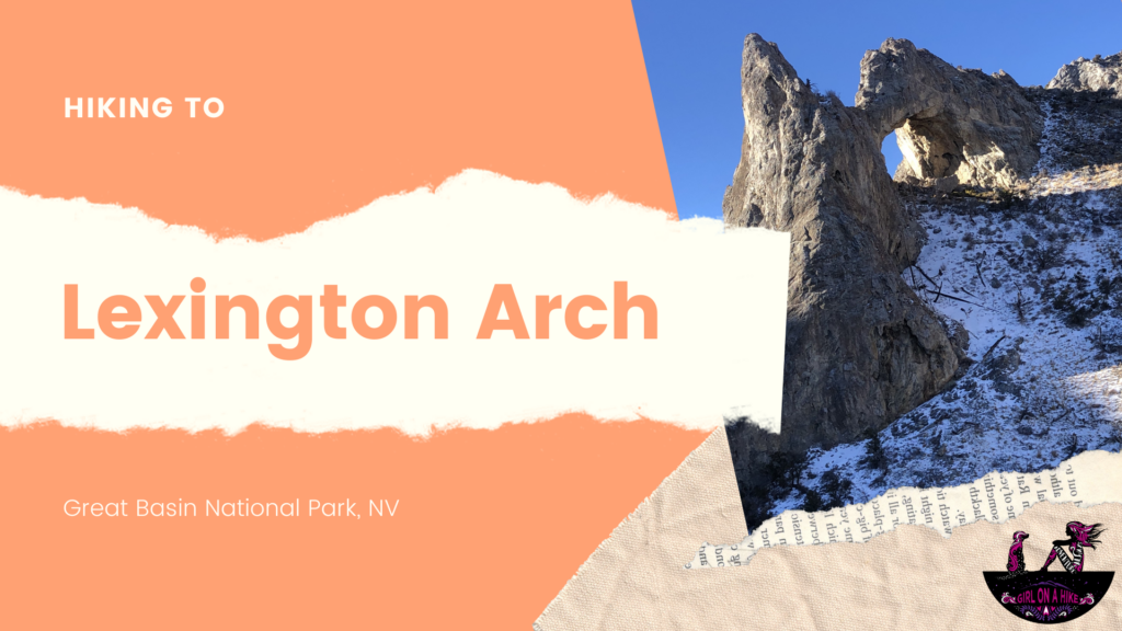
Lexington Arch is located within Great Basin National Park, yet very few people make the trek to it due to it not being in the main area of the N.P. In fact, access to the trailhead was closed for a long time due to the "Strawberry Fire" of 2016. Then a flash flood ripped up the road leading to the original TH. Now, hikers have to add an additional mile of hiking before reaching the official TH.
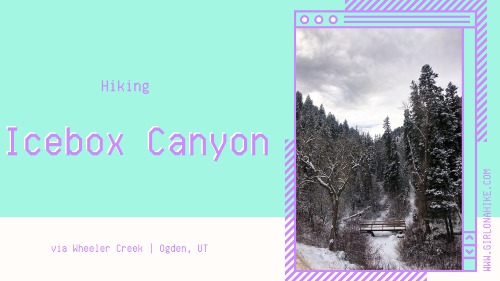
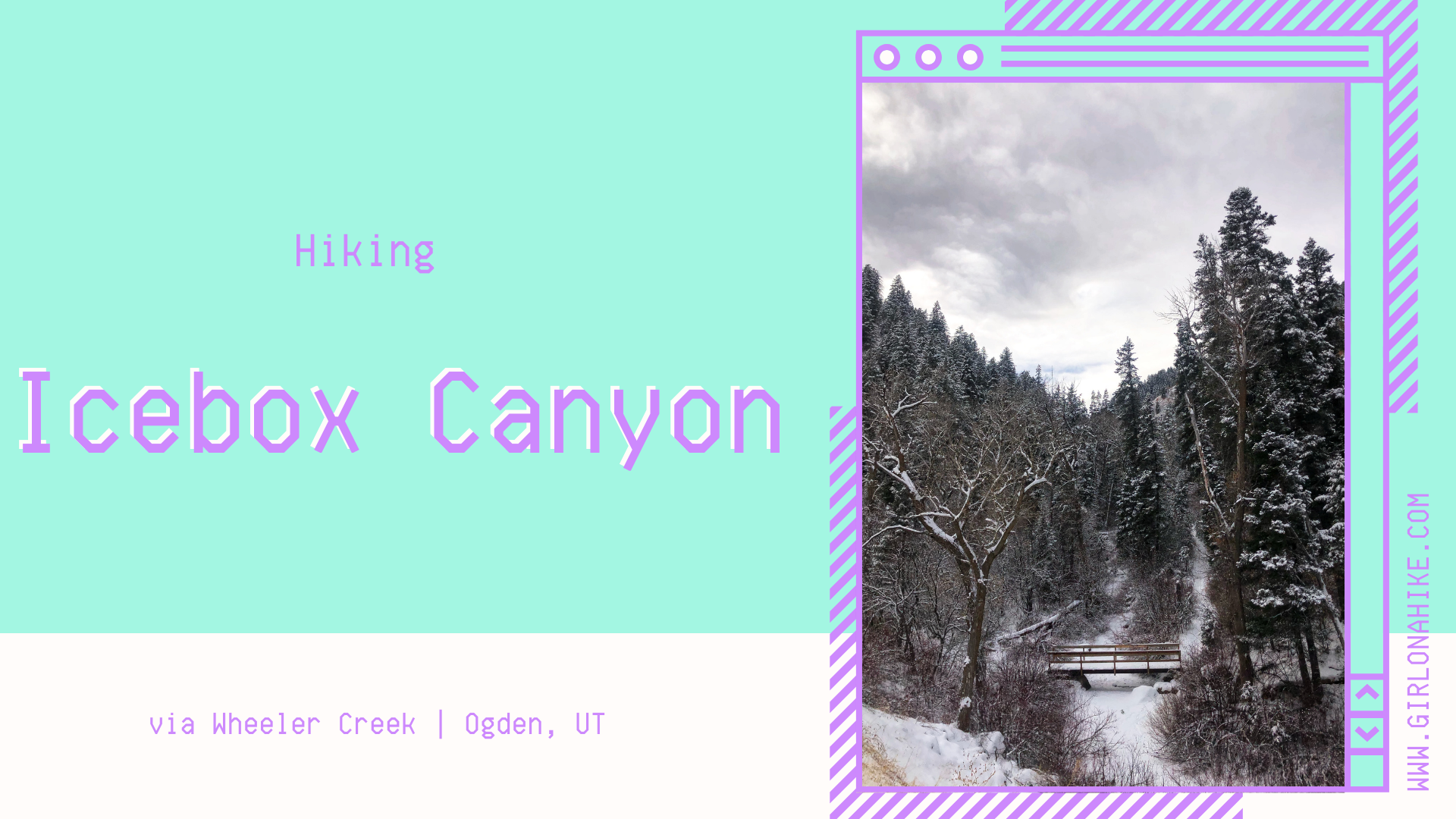
Icebox Canyon is a 5 mile loop hike that starts at Wheeler Creek, cuts through Icebox Canyon itself, the Art Nord meadow near Snowbasin, then back through Wheeler Creek.
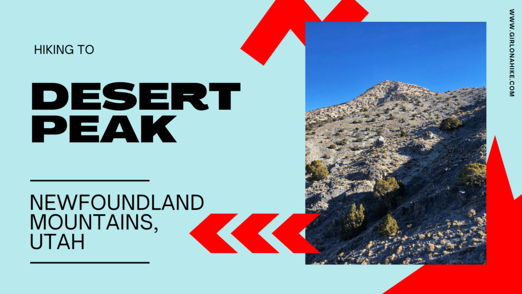
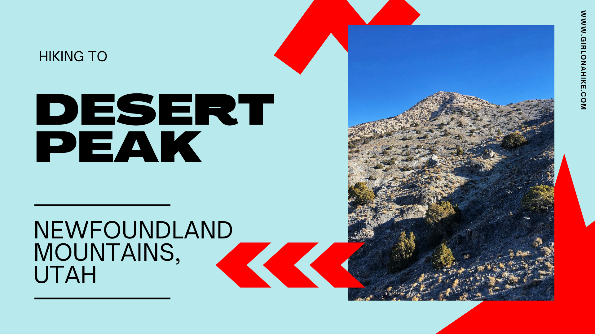
Desert Peak (7,005 ft) is located in the Newfoundland Mountains in the Great Salt Lake, and is the highest point in the range. Getting to the unofficial trailhead takes quite a bit of effort, and it is very tricky timing it at just the right time of year. Because it's located in the middle of the Salt Flats, any recent precipitation will leave the dirt roads completely muddy and rutted out. There is zero cell service, so you don't want to risk getting stuck.

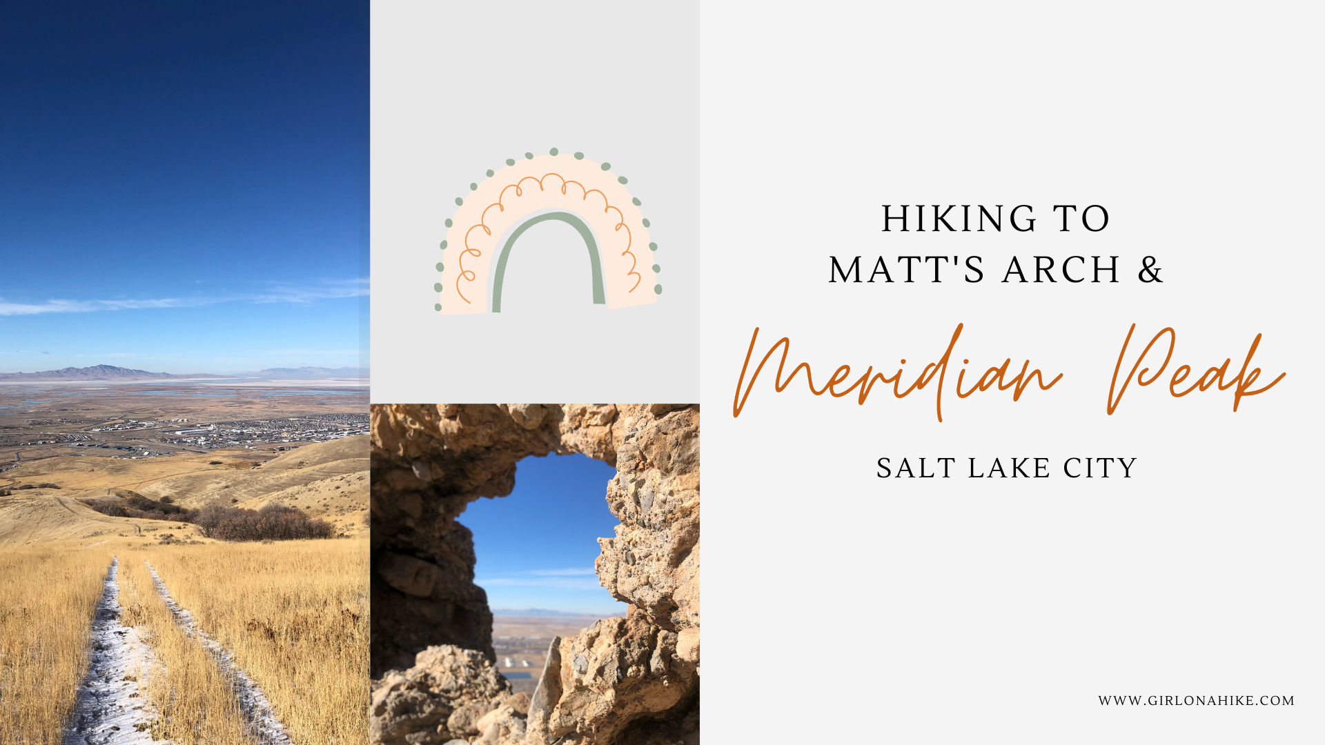
Meridian Peak (5,978ft) is small peak in North Salt Lake along the Bonneville Shoreline Trail and just north of Ensign Peak. The main trail also takes you past Matt's Arch (aka "Industrial Arch") - a tiny natural arch made of limestone.
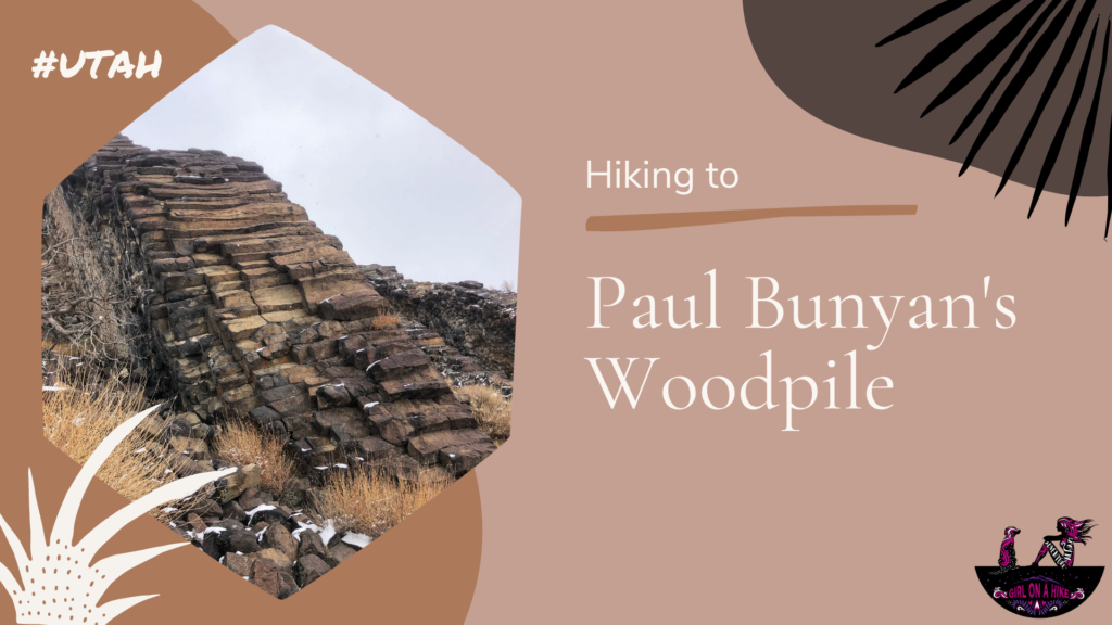
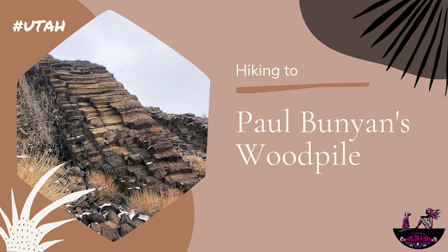
Paul Bunyan's Woodpile is an interesting geological feature in Central Utah, that looks like a "woodpile" of logs left behind by the giant lumberjack of American & Canadian Folklore. Really the woodpile is a cluster of lava rocks formed about 30 million years ago; the logs were then formed into orderly columns.
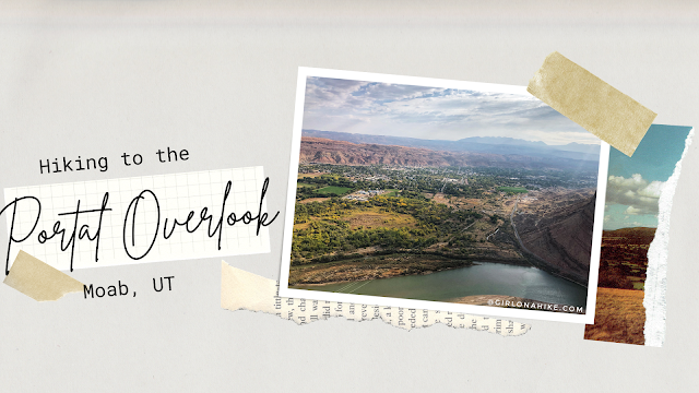 The Portal Overlook is a great overview looking down to Moab, UT as well as the LaSal Mountains and Colorado River. It's a perfect sunrise hike or good trail when you need something short with a great reward! This isn't a trail you want to do middle of summer - zero shade and water, plus lots of bikers, along with the desert heat will make this miserable and can potentially burn dogs paws. The best time to hike this is in Spring or late Fall when the temps have cooled off. Winter would be okay too, just bring microspikes. While this trail is short, I still carried 2 liters of water for just me and Charlie and we both drank it all. You'll definitely get a workout in as this climbs 800 ft to the overlook.
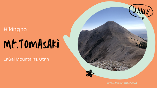 Mt.Tomasaki (12,239 ft) is a peak in the LaSal Mountains, and one of seven "12ers" in the range. The LaSal Mountains are the 2nd highest mountain range in Utah, behind the Uinta Mountains. Mt.Tomasaki is accessible by a trail half of the way from the Burro Pass TH, and then the second half is off trail but is easy hiking across the high alpine terrain. The trail itself is mostly exposed, with no water source. Start hiking early in the morning to beat the afternoon thunderstorms that occur almost daily in this mountain range. The best time to summit is Summer and Fall (typically late June to the first snowfall in October). Call the LaSal Ranger to make sure Geyser Pass is open before planning your hike here.


