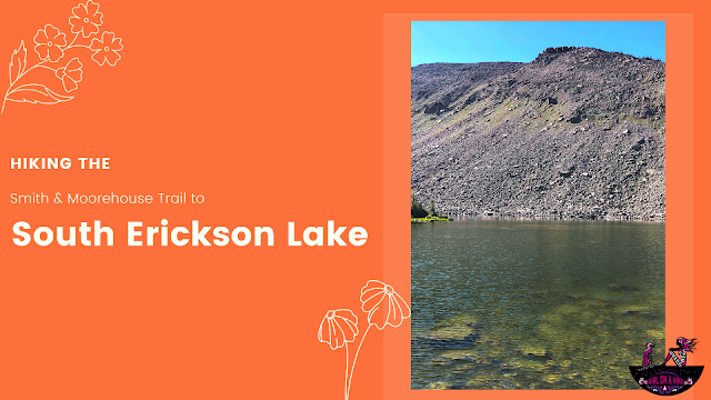
South Erickson Lake is a lake in the High Uintas Wilderness and can actually be accessed from two different trailheads.
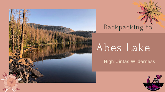
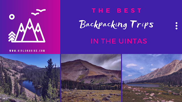
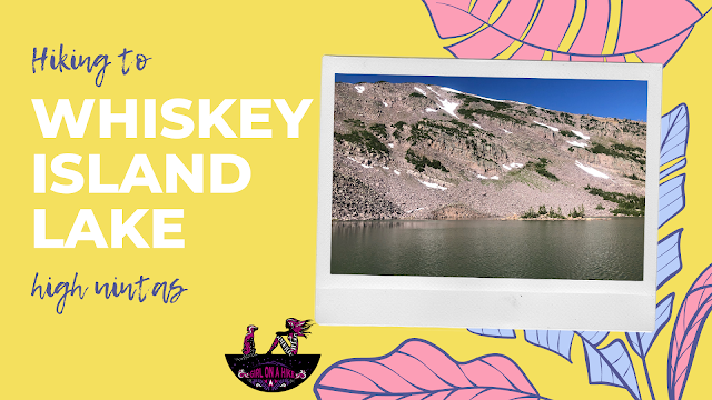
Whiskey Island Lake sits at 10,400 ft in the High Uintas and is a secluded lake great for a day hike and fishing. If you're really feeling like getting a workout, add on the surrounding peak above the lake, Whiskey Island Peak.
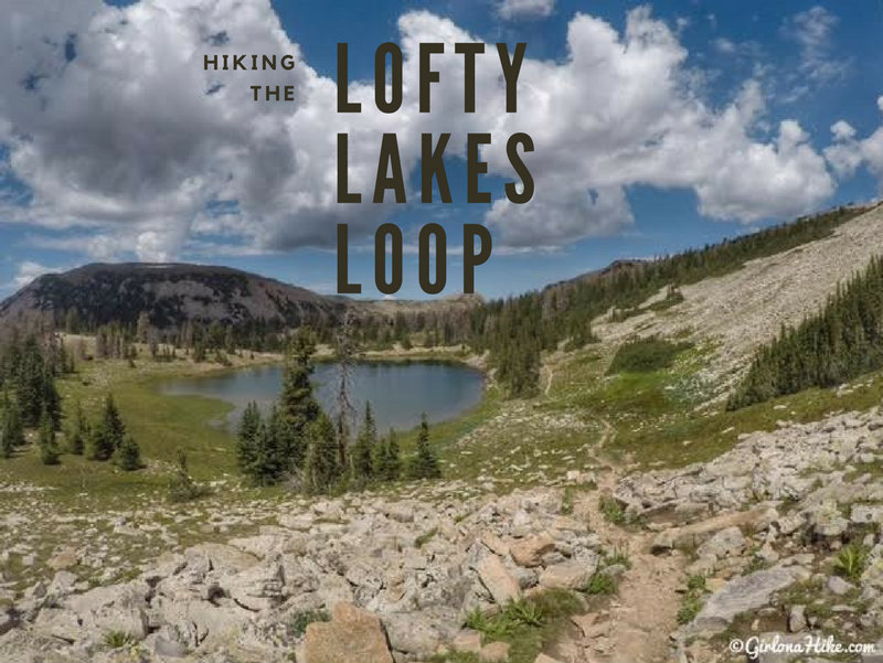
Hiking the Lofty Lakes Loop in the Uintas
The Lofty Lakes Loop Trail is one of the most scenic and rewarding day hikes along the Mirror Lake Highway in Utah’s Uinta Mountains. This 4-mile loop takes hikers past a series of stunning high alpine lakes, scenic overlooks, and through classic Uinta landscapes—all with moderate effort and big rewards.

Island Lake is one of many gorgeous lakes in the Uintas - it can be hard to choose which lake to visit. This lake offers a quick backpacking trip, cliff jumping, swimming, fishing, & solitude in the summer months. If you are feeling adventurous, you could even hike up to one of the three surrounding peaks. Hiking to Island Lake is an easy, family friendly hike, that even the dogs can join in on.
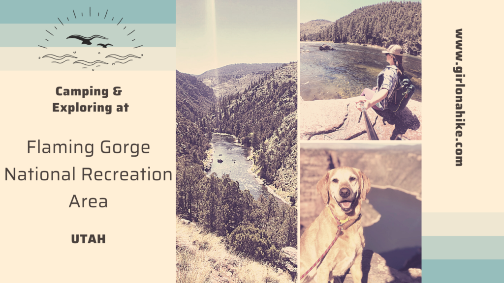
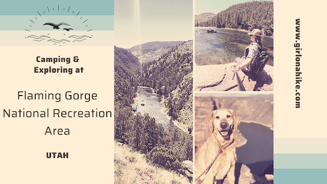
Flaming Gorge National Recreation Area is located in both Utah & Wyoming is home to 360 miles of shoreline, 43 campgrounds, 91 miles along the Green River, and endless trails to explore.
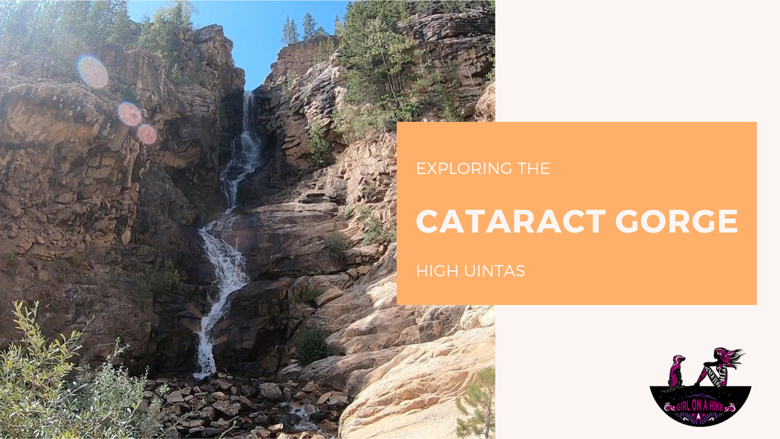 The Cataract Gorge is located near Murdock Basin in the High Uintas. After turning off the Mirror Lake Highway, you'll drive 3 miles along a well-graded dirt road until you reach the forest road intersection for FR027.
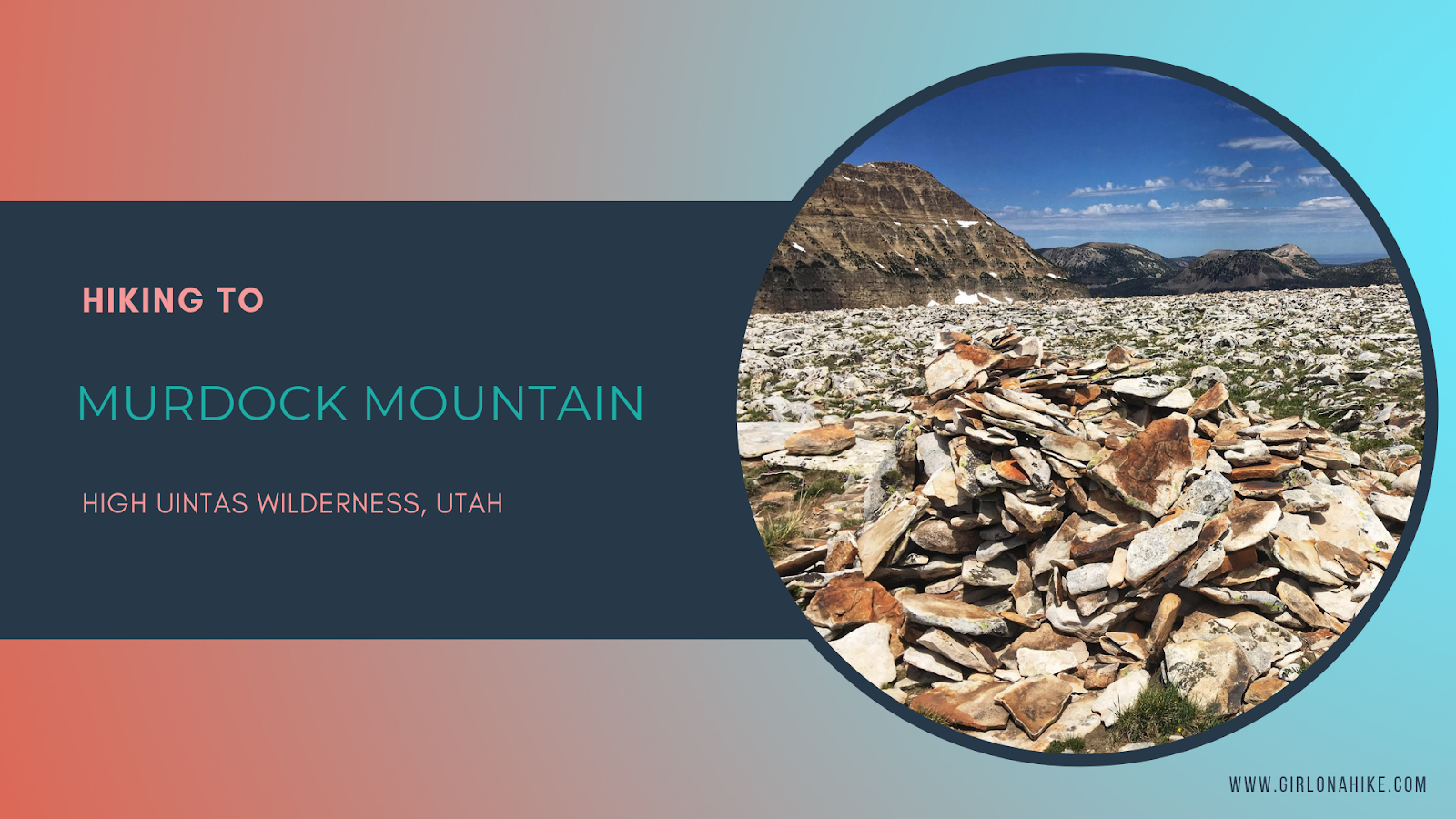
Murdock Mountain is a hidden gem in the High Uintas Wilderness, located just off the Mirror Lake Highway in Utah. Unlike the popular nearby Bald Mountain, which sees hundreds of hikers each summer, Murdock sees fewer than 75 people reach its summit annually. This makes it a perfect destination for solitude and stunning views. The route is off-trail but manageable—only 1 mile of easy boulder-hopping leads to breathtaking 360-degree vistas.
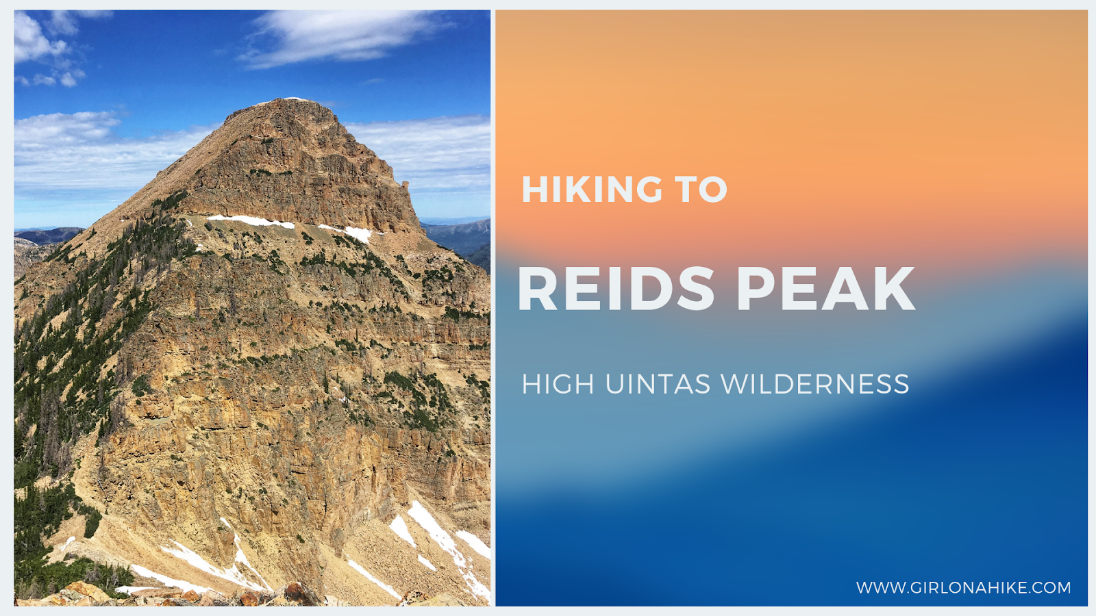
Reids Peak (11,708 ft) is located in the High Uintas Wilderness, just off the Mirror Lake Highway. While its neighbor peak, Bald Mountain, see hundreds of hikers each summer, less than 50 people will make the Reids Peak summit each year, and for good reason. There is no trail to the summit and requires light scrambling, so it's not a good peak for the average/newbie hiker. Typically, only experienced peak baggers are the ones looking to make the summit, and knowledge of route finding will make this hike successful.


