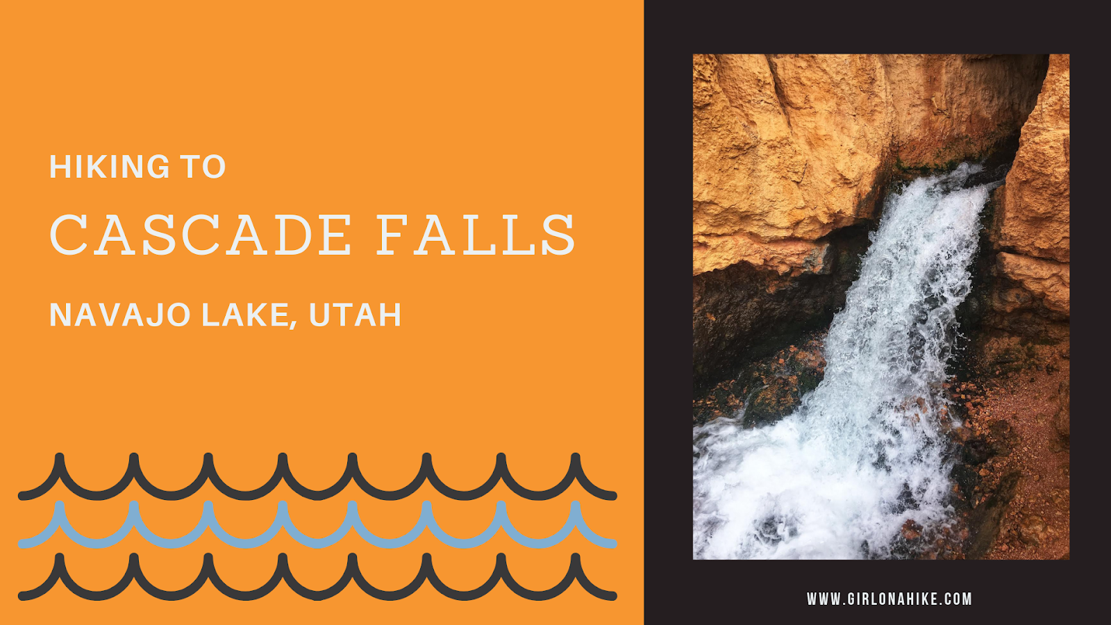
Cascade Falls is located near Navajo Lake, and is in fact, a major drainage port for the lake. The trail offers amazing view of Zion National Park on a clear day, and all ages and all types of hikers plus dogs will enjoy this area. The water from the falls is supplied by the lake through an underground lava tube (sink hole). The water flows through this for a few miles underground before exiting at the Virgin River Rim.
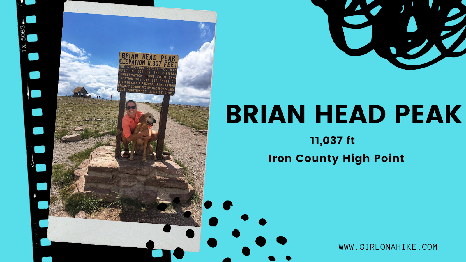
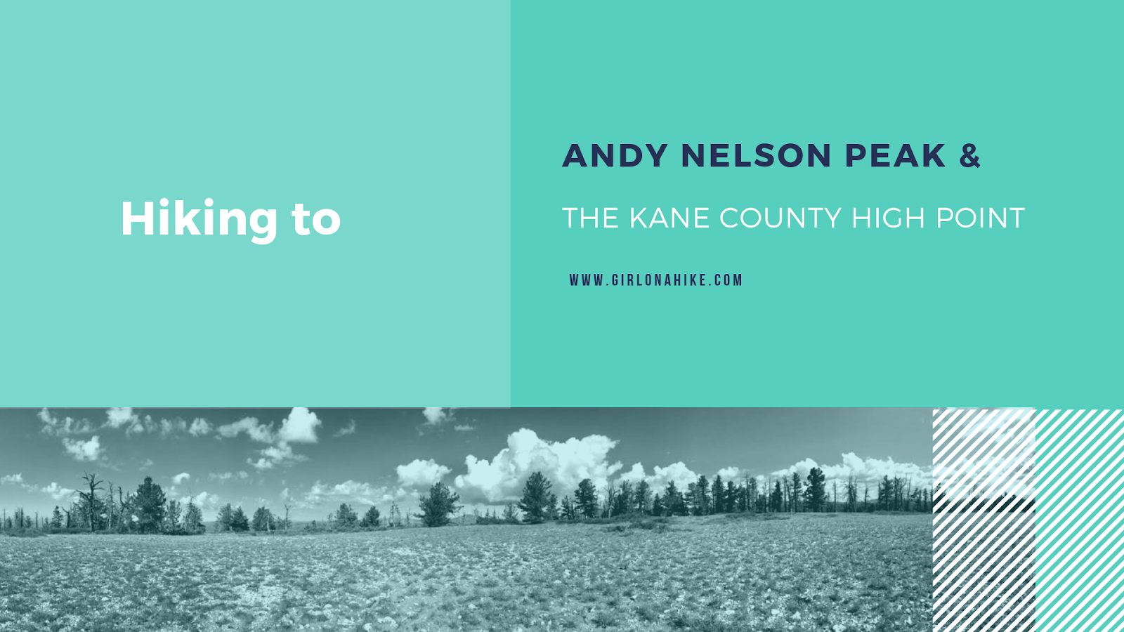
The Kane County High Point (10,080 ft) is located on a small ridge similar to the Wasatch County High point, rather than on an actual peak. The highest actual peak, Andy Nelson Peak (10,027 ft) is nearby so it is worth to do both on the same day. In one day, we actually did the Kane CoHP, Andy Nelson Peak, hiked Cascade Falls, drove through the lava fields, and then drove to the Iron County HP (Brian Head Peak).
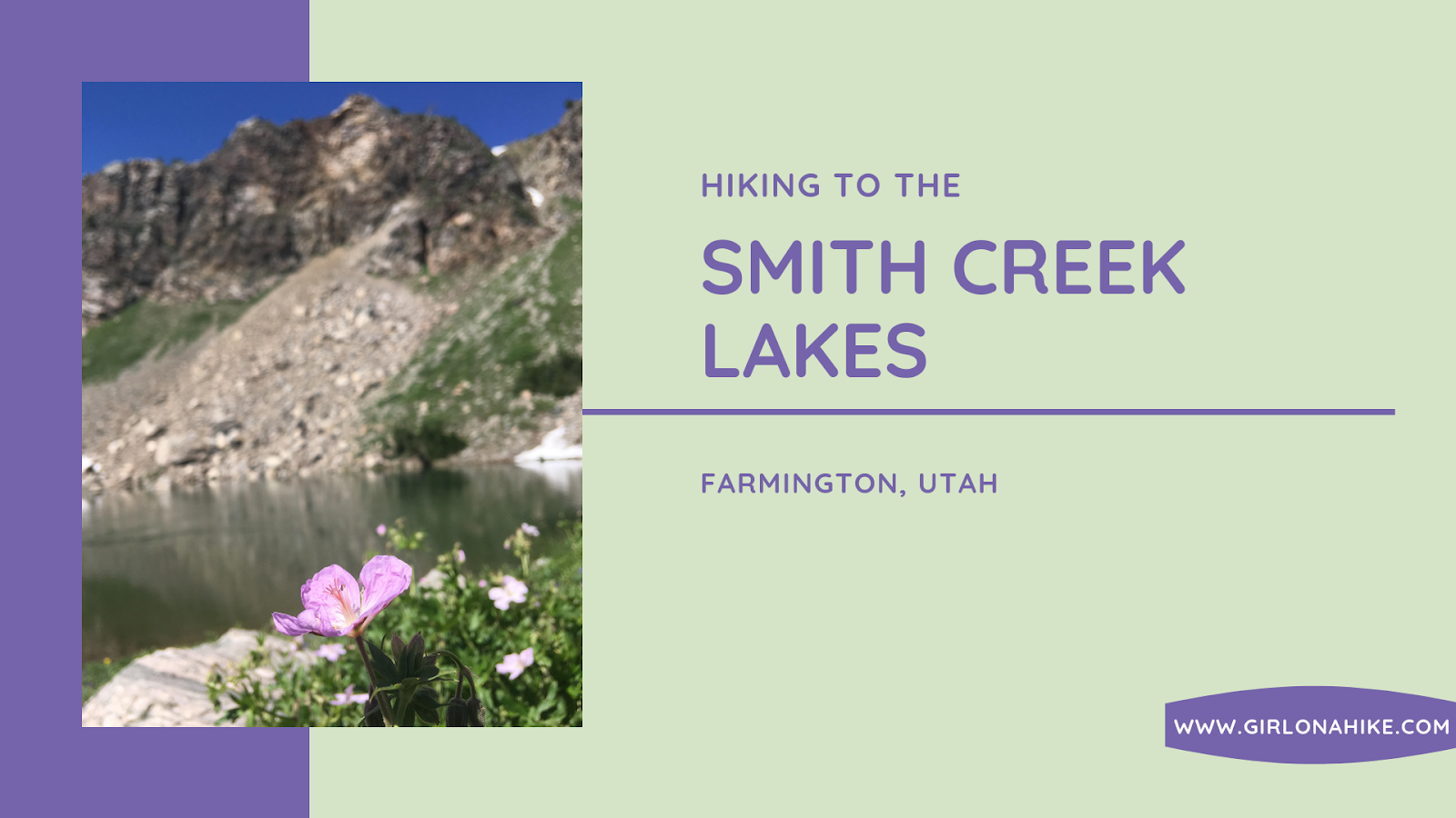
Smith Creek Lakes is located along the Skyline Drive, near Farmington, Utah. The hike starts from Francis Peak, then follows a jeep/ATV road as it drops into the basin where a chain of three lakes sits. All three lakes are fairly big for a high alpine lake, and each lake had at least one campsite. The hike itself is really easy, and you can't get lost. Plan on taking a half day to explore all three lakes, and to let the dogs swim and cool off. Smith Creek Lakes is only available when the Farmington Canyon Road is open, typically June through October. There is only a little shade, so plan to start hiking early to beat the heat on the hike back up to the car.
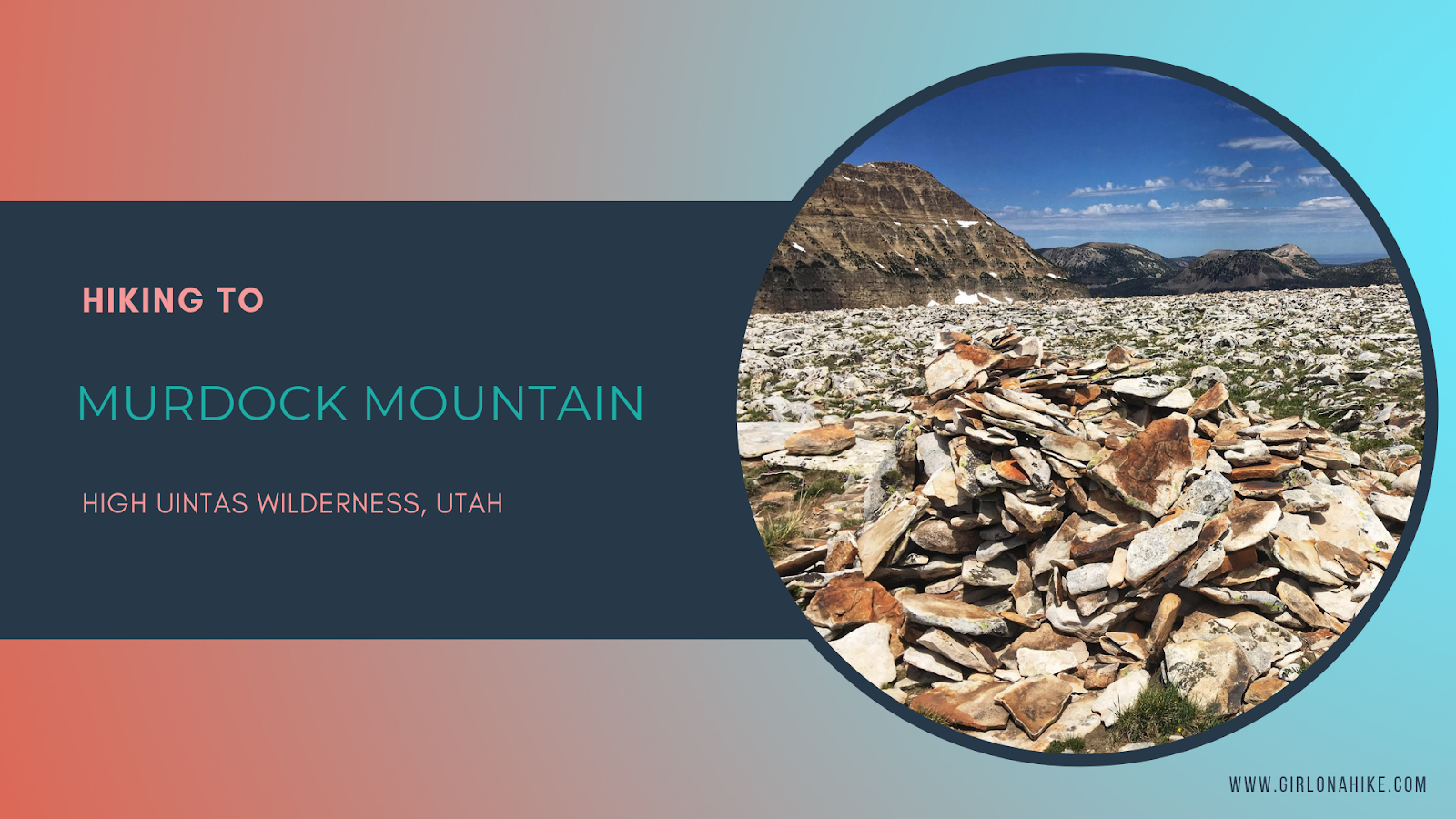
Murdock Mountain is a hidden gem in the High Uintas Wilderness, located just off the Mirror Lake Highway in Utah. Unlike the popular nearby Bald Mountain, which sees hundreds of hikers each summer, Murdock sees fewer than 75 people reach its summit annually. This makes it a perfect destination for solitude and stunning views. The route is off-trail but manageable—only 1 mile of easy boulder-hopping leads to breathtaking 360-degree vistas.
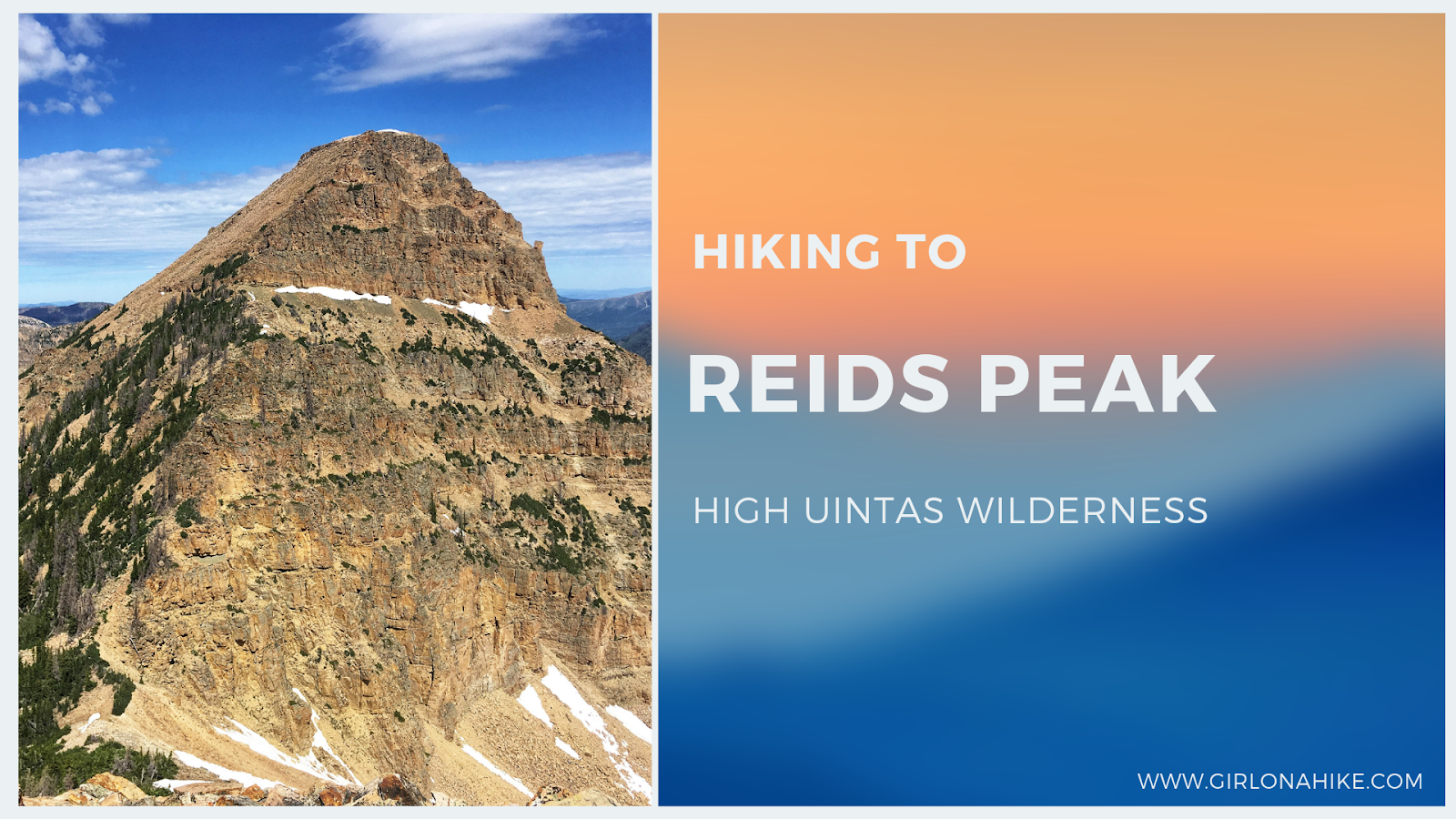
Reids Peak (11,708 ft) is located in the High Uintas Wilderness, just off the Mirror Lake Highway. While its neighbor peak, Bald Mountain, see hundreds of hikers each summer, less than 50 people will make the Reids Peak summit each year, and for good reason. There is no trail to the summit and requires light scrambling, so it's not a good peak for the average/newbie hiker. Typically, only experienced peak baggers are the ones looking to make the summit, and knowledge of route finding will make this hike successful.
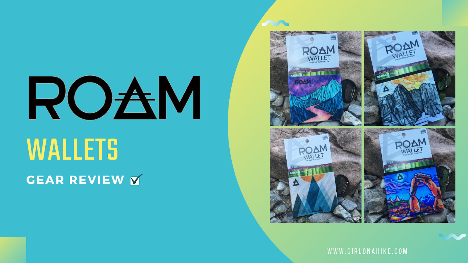
ROAM Wallets are minimalist wallets designed to get you hands-free while shopping, doing outdoor activities, or simplify your accessories. These ultra slim and ultra light wallets come in several designs, with close to half designed by actual artists. ROAM Wallets are made from an elastic knit, made to hold up to 10 or 15 cards, depending on the size of wallet you get. No more hassling with huge purses, too many stuffed cards in your wallet they fall out, and way lighter and cooler looking to carry around.
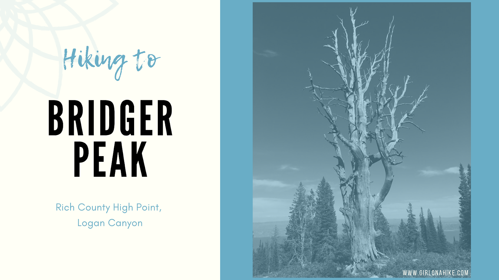
Bridger Peak (9,225 ft) is the Rich County High Point, but also the lowest in elevation of all Utah County High Points (CoHPs)! Bridger Peak was Unnamed Peak until 1999 when the Tribune ran a contest for someone to name the peak. Briger Peak won for Jim Bridger who was an early explorer of Utah and the Yellowstone area, Now Yellowstone National Park. He was a great mediator between the Native American tribes and European-American settlers, and was in excellent shape aiding him to explore the West.