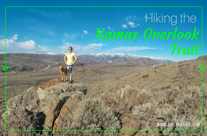
The Kamas Overlook Trail is, and as the name implies, is near Kamas, Utah and offers a great view of the valleys nearby.
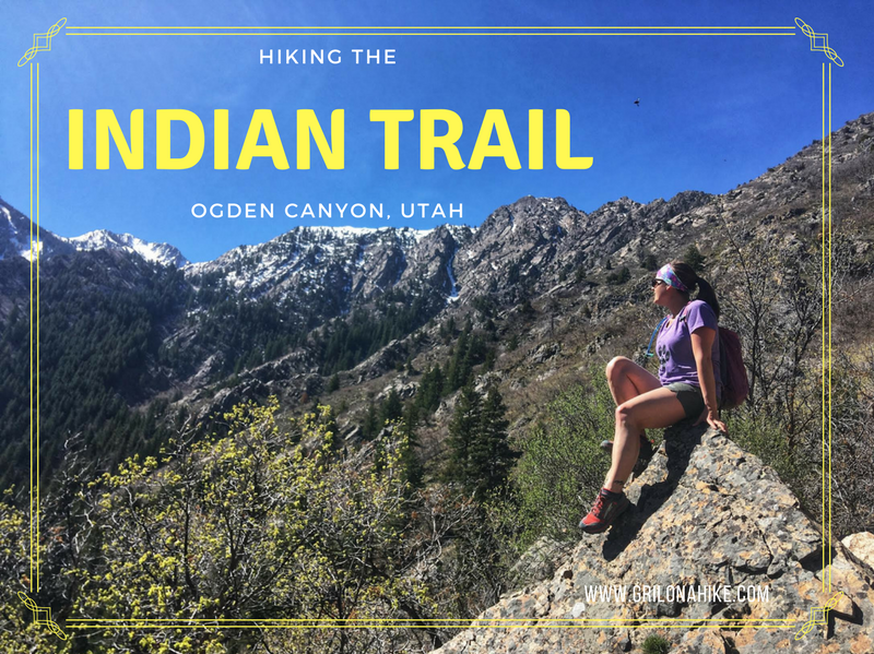
The Indian Trail, located in Ogden, Utah is a beautiful trail that offers views of Ogden Canyon and surrounding areas. It's best done as a point-to-point route, starting at the Coldwater Canyon TH, and ending at the 22nd Street TH. The hike is really well shaded, and offers a creek for the first mile for the dogs to drink from. Past that, the trails curves around the mountain side, passes an old cabin, several overlooks, and eventually connects to the Bonneville Shoreline Trail (BST). This hikes is best from April-October, or when the trail is snow-free.
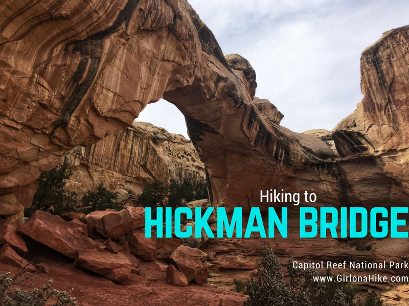
Hickman Bridge is one of the most popular trails in Capitol Reef National Park, and the bridge itself is 130 ft across and 125 ft high. The NP provides a brochure, describing 18 numbered points of interest.
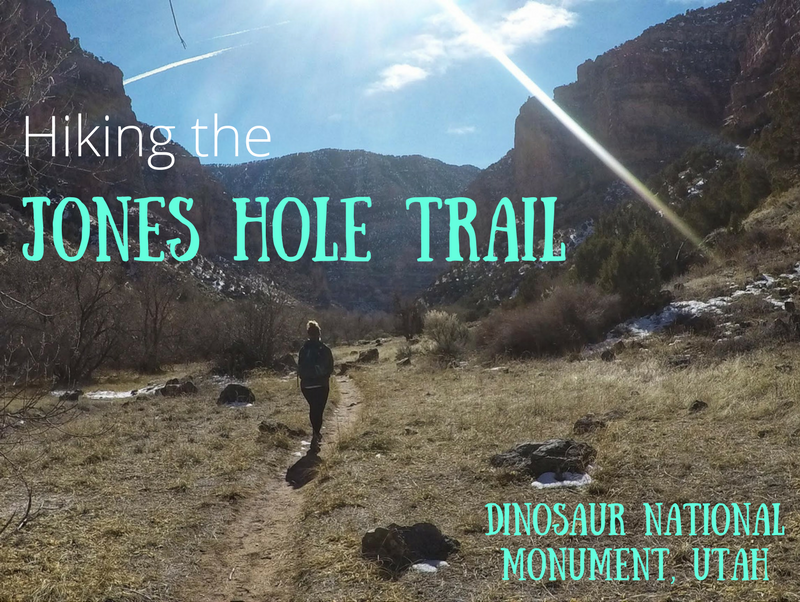
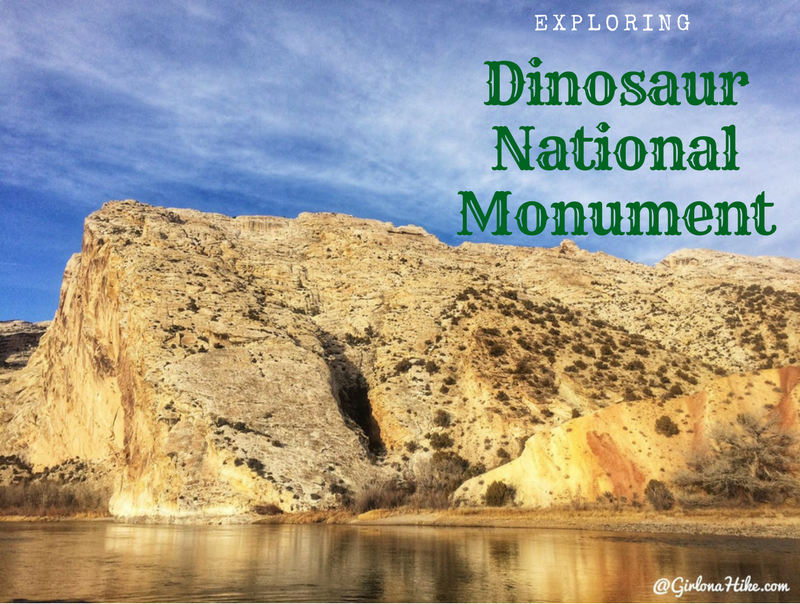
Dinosaur National Monument (DNM) is located in both Utah and Colorado - the Utah side is just outside of Vernal, Utah and offers a large dinosaur quarry, trails, camping, and amazing scenery of the Uintah Basin and Green River. Petroglyphs hint at earlier cultures (mainly the Fremont), and later homesteaders and outlaws found refuge here. Of course the name of the game here are the dinosaur fossils. Visitors can see over 1,500 dinosaur fossils exposed on the cliff face, located inside the Quarry Exhibit Hall. It's one of the most amazing sites for Paleontologists and explorers-alike. Plan to spend at least one full day at DNM.