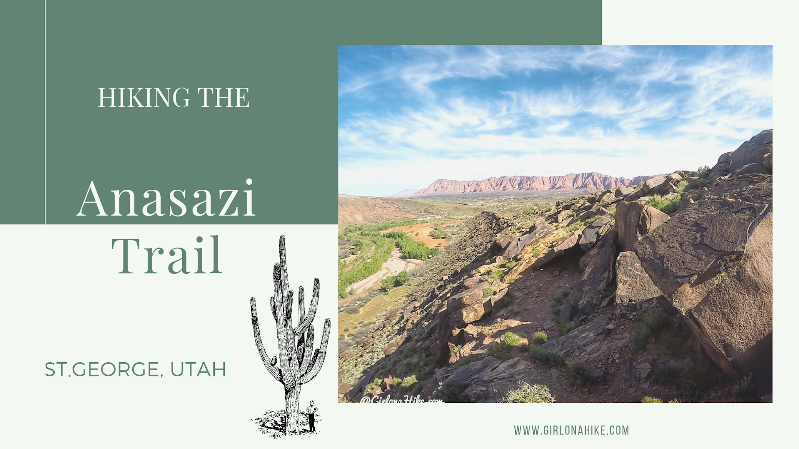
The Anasazi Trail (aka Tempi'po'op, which means "rock writing" in Southern Paiute) in St.George is a casual trail that leads to ancient Pueblo & Paiute remains, as well as petroglyphs. This is more of a walk, rather than a hike, and is great for the whole family to do since it is only 2.2 miles RT. There is zero shade nor water, and the trail gets hot quickly. If you bring your dogs make sure to start early in the day so they don't burn their paws. The path itself consists of long switchbacks, which lead you to a very small hill where the old farmstead was located, and is now fenced off. After checking that out, continue walking uphill (to the South) to see the petroglyphs.
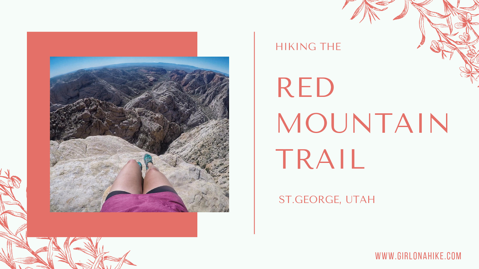
The Red Mountain Trail is located in Dammeron Valley, UT not far from Sand Hollow and Gunlock State Parks. Because it's not actually apart of the state parks and is wilderness area, dogs are allowed off leash. Be sure to start early in the morning so the sand doesn't burn their paws. The first 1.5 miles of the trail is very boring and uneventful, but what the trail does lead to is amazing. The Red Mountain Overlook looks down into Sand Hollow, and the white and red slick rock with Signal Peak in the Pine Valley Mountains to the East is incredibly beautiful. This trail is great for the whole family, as it only gains a mere 360 ft. It's a mix of sand and rock, but plenty of shade if you do need a break.
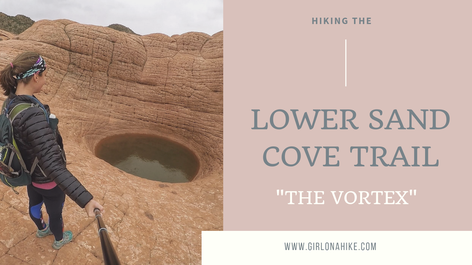
The Lower Sand Cove Trail is located in Dammeron Valley, outside of St.George, Utah. It's located within the Red Mountain Wilderness, making this a dog-friendly hike. Local's know this hike as "The Vortex", due to the interesting geology that created this large pot hole in the slick rock.
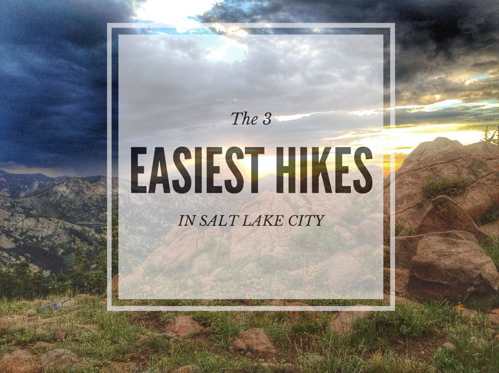
Looking for the 3 easiest hikes in Salt Lake City?
Look no further. I've created this list for those wanting to take the kids out for a short hike, those that may not have enough time for a longer or harder hike, or those with families visiting SLC that want to view pretty scenery but aren't up for a full day of hiking. These 3 hikes range from 5 minutes to 2 hours, and can be hiked year round. No matter how long or short your hike, be prepared with at least one bottle of water per person, a small snack, and sun protection. Grab your hikin' boots, and let's hit the trails!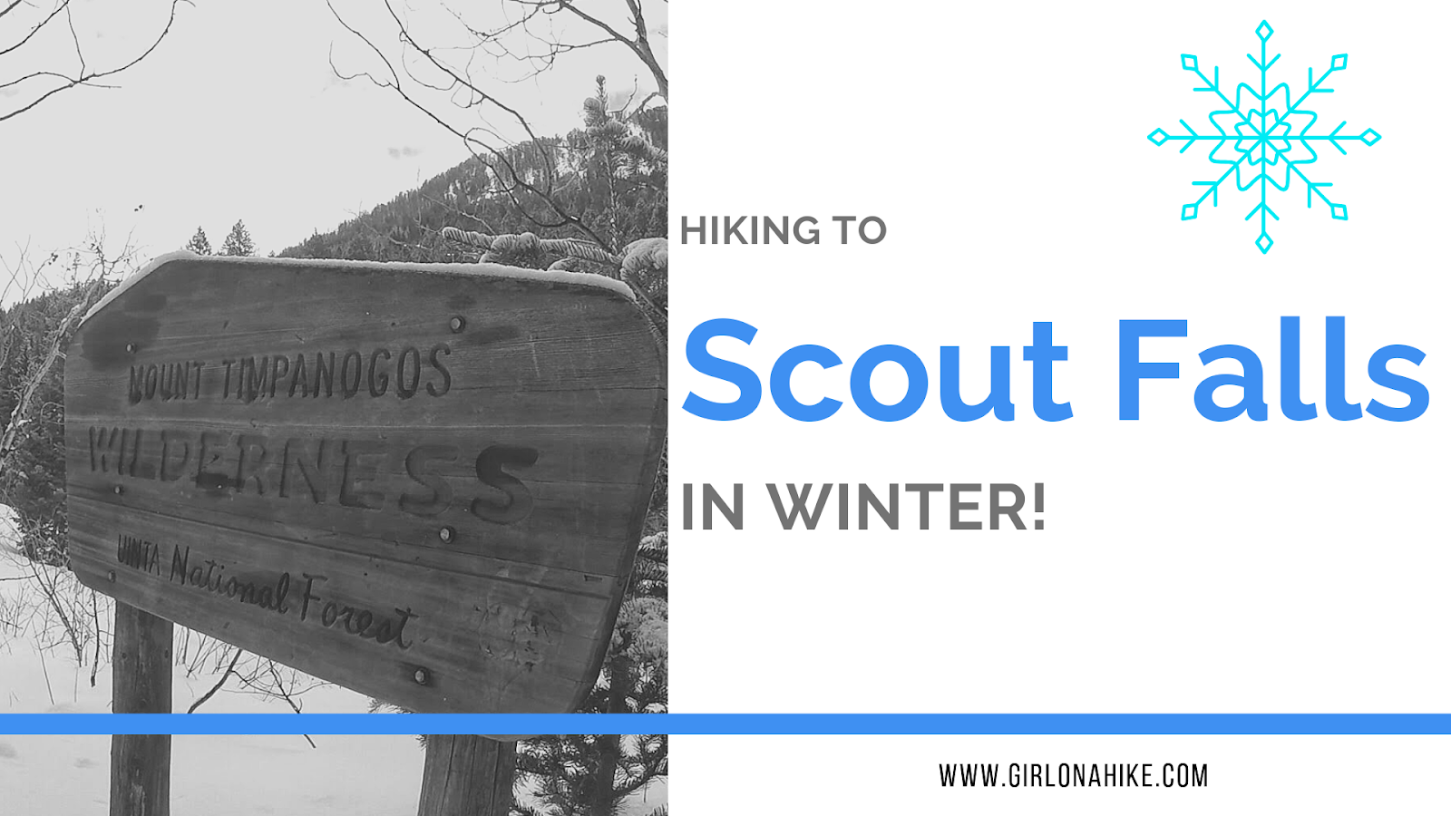
Scout Falls is a popular waterfall located right off the Timpooneke Trail on the way to Mt. Timpanogos. In summer, it's a fun spot to cool off on your hike or filter your water for the long trek to the summit. Normally it is only 1.5 miles to reach the falls but in winter it is 4 miles one way since the road is closed at the winter gate. It's been a goal of mine to see the fall in winter, with long icicles, frozen over.
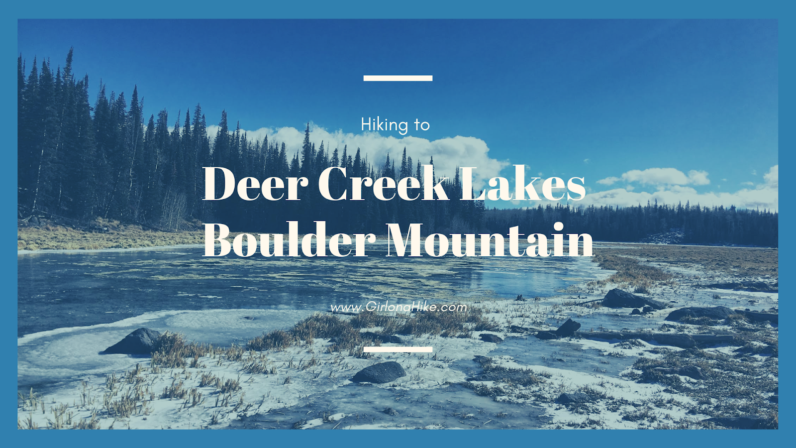
Deer Creek Lakes sits high on Boulder Mountain at 10,000 ft, and several other nearby lakes are accessible as well including Green, Chriss, and Mooseman Lakes. All of these lakes provide for an excellent day hike, quick overnight backpacking trip, and plenty of fishing and sightseeing. The trail to get to Deer Lake is only 2.8 miles one way, and is fairly easy and flat. Over the 3 miles you only gain about 700 ft, making it a gently incline the whole way. Keep in mind that you will be hiking at a high elevation, and that can often slow hikers and dogs down. Take your time - the views from Deer Lakes is amazing and well worth the effort.
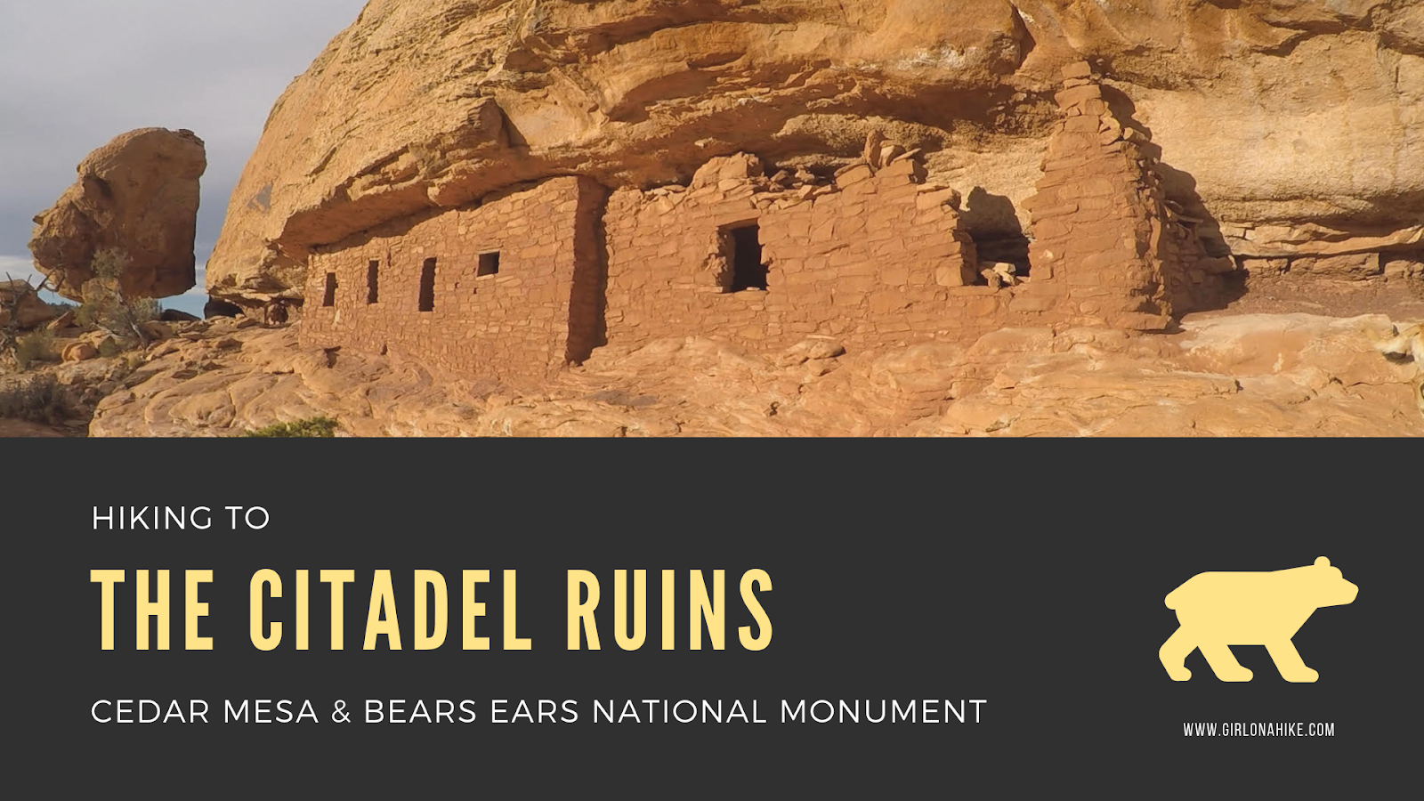
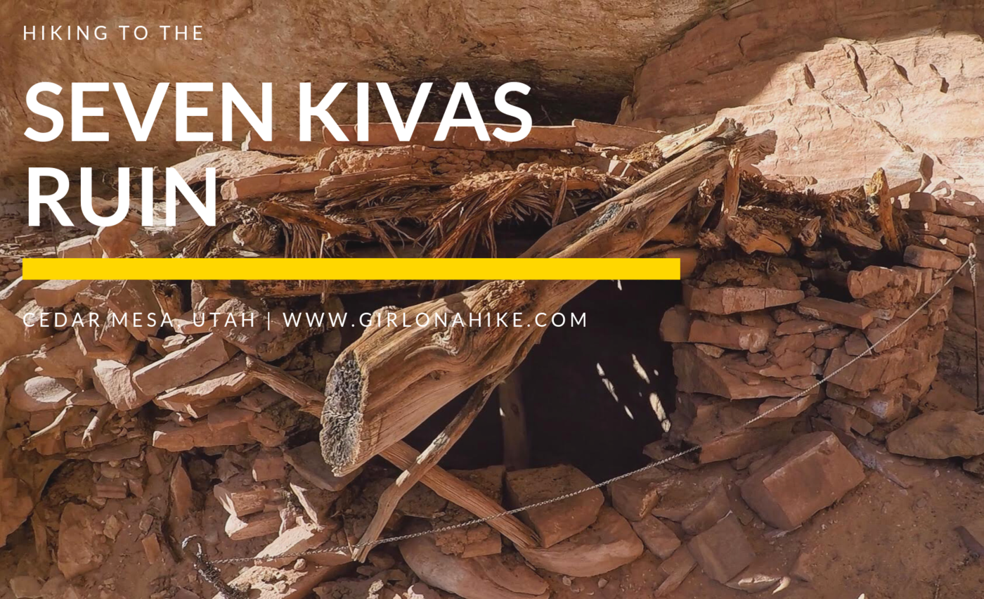
The Citadel Ruins sit high above Road Canyon in Cedar Mesa & Bears Ears National Monument.