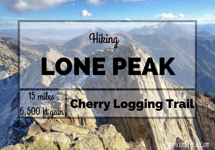
Lone Peak (11,251 ft) is one of the tallest peaks along the Wasatch Front, and hovers over Draper, Utah. You can't miss this peak - it is clearly visible from both Salt Lake & Utah Counties.
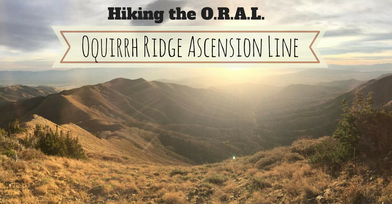
Today's blog post is from our guests Nick Carnahan and Alex Lawhun. They completed an 18 mile day hike along the Oquirrh Ridgeline - a rarely hiked and unknown route to many. What they encountered was more than they bargained for. Here is their story.
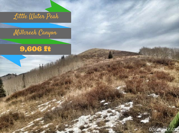
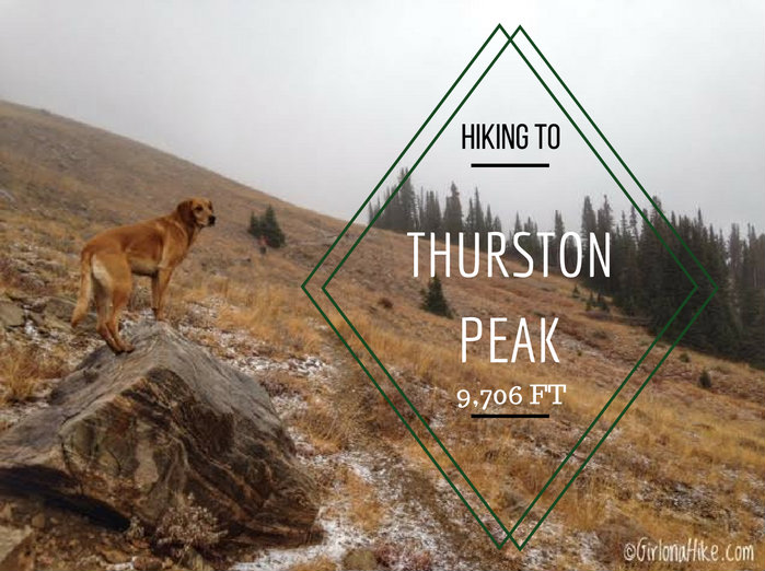
Thurston Peak (9,706 ft) straddles the Davis-Morgan county line, making it the tallest peak for both counties. Many people think that Francis Peak, with the big white golf ball domes on the summit, is the highest peak along the ridge, but it is Thurston Peak that claims the high point.
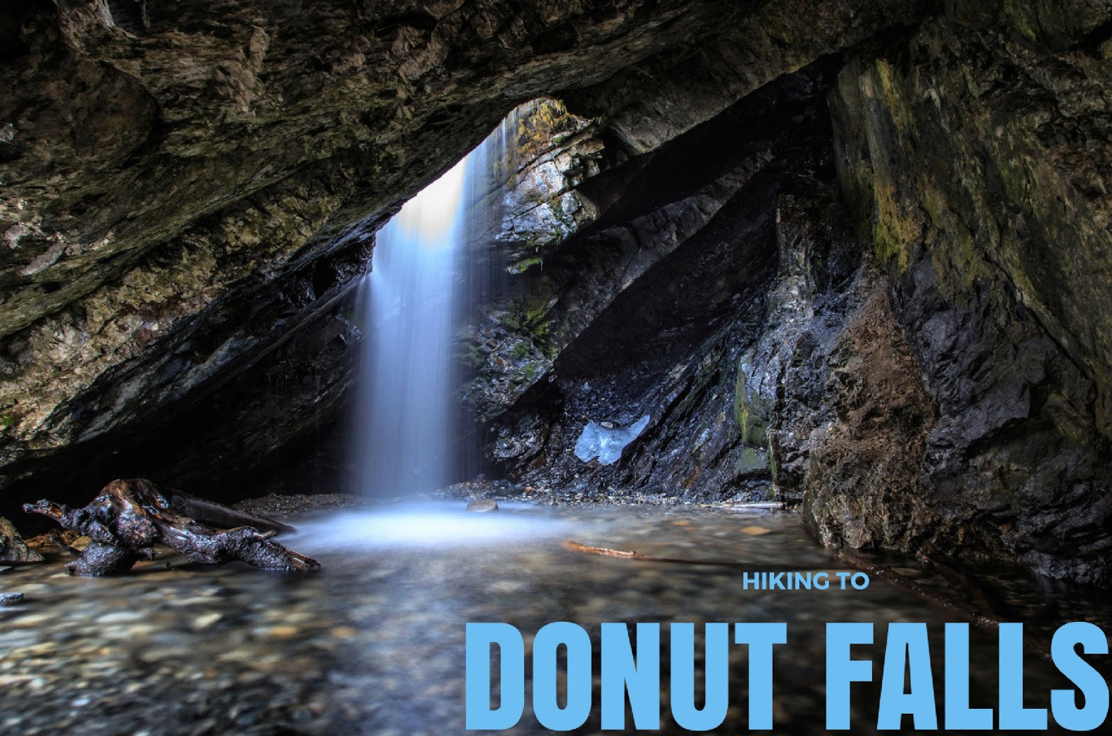
Donut Falls, located in Big Cottonwood Canyon, is a classic Wasatch Mountain hike. This hike is suitable for all hikers regardless of age or hiking experience. This is usually the trail I will take family that is visiting from out of state since it hardly gains any elevation, yet it leads to a beautiful destination. It is a very rewarding for those who don't regularly hike but still want to see Utah's varying scenery. Because of these things, Donut Falls is very popular - you will literally see hundreds of people here on weekends, especially in Summer. Hiking the Donut Falls trail is safe and easy to access year-round. Arrive early to beat the crowds.
 Hiking Utah's Ultra Prominence Peaks is not for the average hiker - many of these peaks require hiking off trail, very early morning starts (sometimes 3am), route finding, long days, crossing exposed ridge lines, extremely steep and rugged terrain, and sometimes a river crossing. In addition to these "fun" circumstances, I've also dealt with bad sun burns, running out of food, running out of water, reading the map wrong, forgetting socks, starting out too late in the day, ending after dark, getting annoyed by people I'm hiking with, and as the movies say, have experienced blood, sweat, and tears. So why do I keep doing it? What is the draw for people to complete Ultra Prominent Peaks?

Willow Heights Lake is a popular destination year-round in Big Cottonwood Canyon for families looking for a short hike with the kids, for backcountry skiers in Winter, and for me, what I call a "bonus hike". A bonus hike is a super short hike that I will do after another longer hike in the area. In this case I just hiked the Mt. Wolverine Cirque to Brighton Lakes (8 miles), and wanted to see Willow Heights at the height of Fall.
