

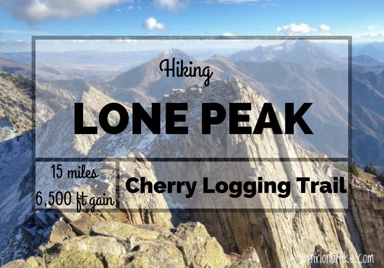
Hiking Lone Peak (11,251 ft) – One of the Most Iconic Summits Along the Wasatch Front
Lone Peak (elevation 11,251 feet) is one of the tallest and most dramatic summits along the Wasatch Front, towering above Draper, Utah. Its distinct granite summit is easily visible from both Salt Lake and Utah Counties, making it a prominent landmark and a bucket-list summit for local hikers and peak baggers alike.
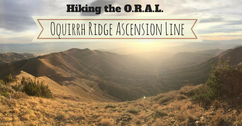
Today's blog post is from our guests Nick Carnahan and Alex Lawhun. They completed an 18 mile day hike along the Oquirrh Ridgeline - a rarely hiked and unknown route to many. What they encountered was more than they bargained for. Here is their story.
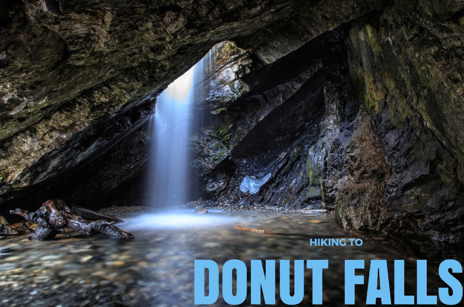
Donut Falls, located in Big Cottonwood Canyon, is a classic Wasatch Mountain hike. This hike is suitable for all hikers regardless of age or hiking experience. This is usually the trail I will take family that is visiting from out of state since it hardly gains any elevation, yet it leads to a beautiful destination. It is a very rewarding for those who don't regularly hike but still want to see Utah's varying scenery. Because of these things, Donut Falls is very popular - you will literally see hundreds of people here on weekends, especially in Summer. Hiking the Donut Falls trail is safe and easy to access year-round. Arrive early to beat the crowds.
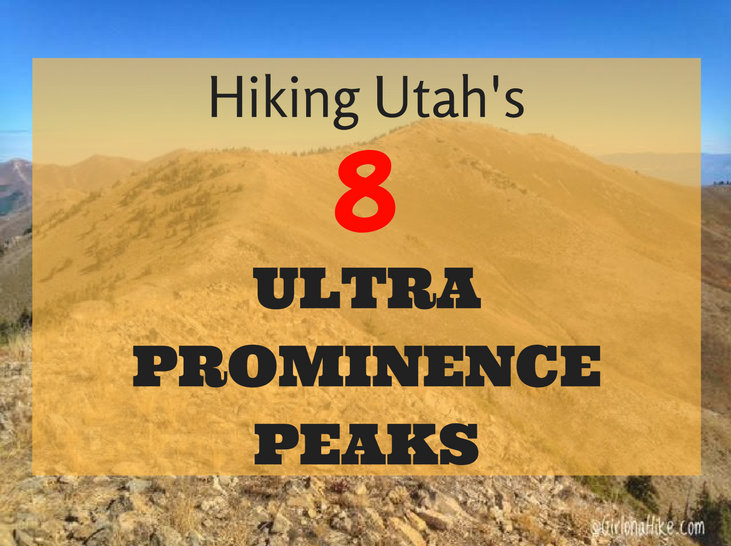
Hiking Utah's Ultra Prominence Peaks is not for the average hiker - many of these peaks require hiking off trail, very early morning starts (sometimes 3am), route finding, long days, crossing exposed ridge lines, extremely steep and rugged terrain, and sometimes a river crossing. In addition to these "fun" circumstances, I've also dealt with bad sun burns, running out of food, running out of water, reading the map wrong, forgetting socks, starting out too late in the day, ending after dark, getting annoyed by people I'm hiking with, and as the movies say, have experienced blood, sweat, and tears. So why do I keep doing it? What is the draw for people to complete Ultra Prominent Peaks?
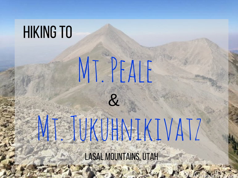
Hiking Mt. Peale and Mt. Tukuhnikivatz – La Sal Mountains, Utah
Mt. Peale (12,721 ft) and Mt. Tukuhnikivatz (12,482 ft) are two iconic peaks in the La Sal Mountains, located just outside Moab, Utah. Mt. Peale is the highest peak in the La Sal range and the second most prominent mountain in Utah. Pronounced tuk-oon-ik-ah-vatz—i, Mt. Tukuhnikivatz is the striking summit you see from Moab’s valley floor. It also holds a place in literary fame, featured in Edward Abbey’s classic Desert Solitaire.
If you’ve lived in Utah, passed through Moab, or want to understand the raw beauty of Arches National Park before it became a tourist hub, reading Desert Solitaire is highly recommended.
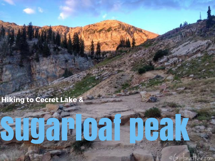
Cecret Lake (yes, that is the correct spelling) is a beautiful alpine lake that sits in the heart of Alta Ski Resort. This easy 1 mile walk is great for kids, taking photos of the amazing wildflowers in July, and possibly sighting a moose. But why stop at the lake, when you can continue just one more mile and summit Sugarloaf Peak? The elevation of Sugarloaf Peak is 11,051 ft, and can be summited in under an hour and half. Bring a light jacket though - it gets really windy and can be quite cold at the top. Keep in mind that the Albion Basin Road is only open from July 4th until the last week of September (or whenever the first snow hits).
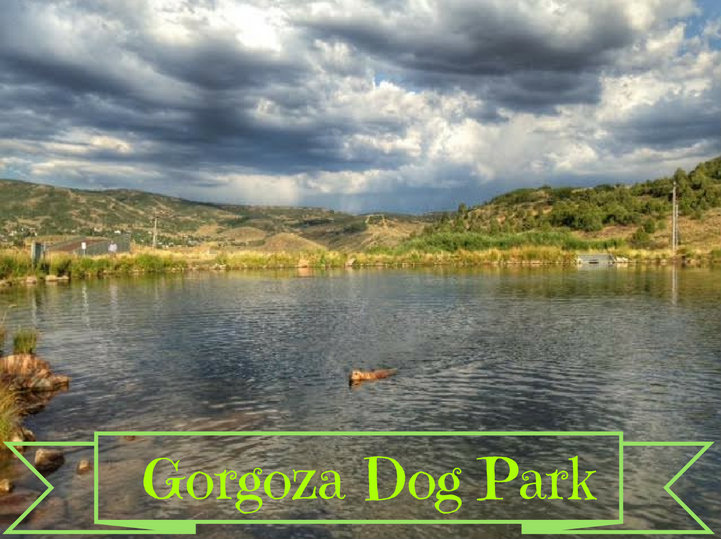
Gorgoza Dog Park is a great place to take your dogs in the summer in Kimball Junction, UT. The reservoir is perfect for throwing your pup water toys. Dogs are allowed off leash here, and as always, dog poop must be picked up. In the Winter time, Gorgoza turns into a Winter sledding hill, and the pond is not available for swimming.
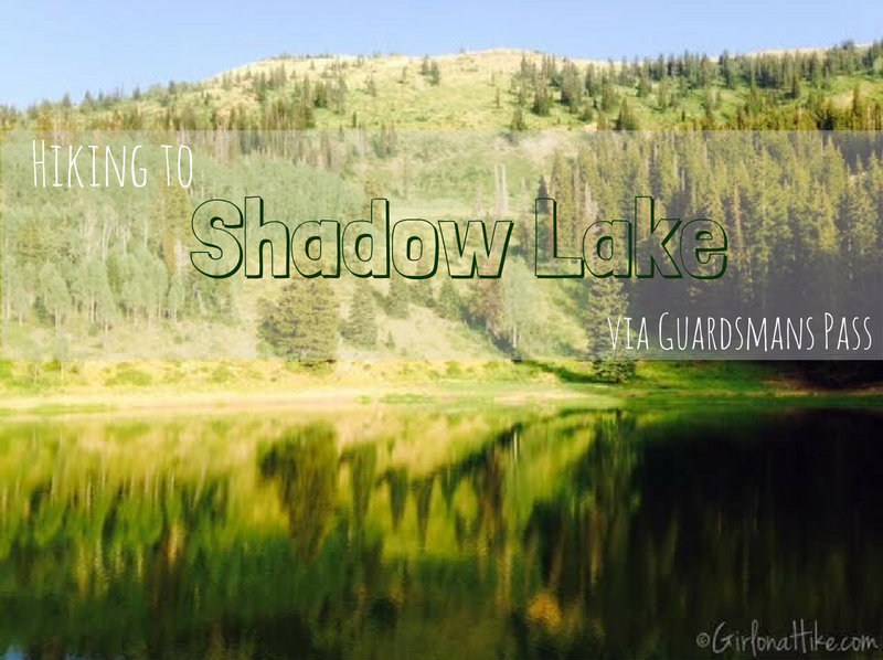
Shadow Lake is located in Park City Mountain Resort (or PCMR as us locals know it), and can be access from the ski resort, or for a shorter route, via Guardsmans Pass. Shadow Lake sits in a bowl-like area, surrounding by pine trees and mountains. This is a popular area for mountain bikers. Hiking to Shadow Lake via Guardsmans Pass will offer a relief from the heat during summer months, and get you out of the valley smog/haze.

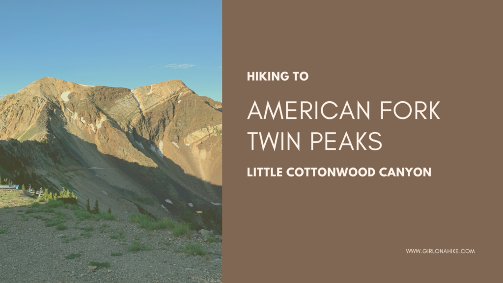
Hiking to the American Fork Twin Peaks (11,490 ft), is not for the beginner hiker. Not to be confused with the other twin peaks in the valley, Broads Fork Twin Peaks and The Avenues Twin Peaks, this route leads hikers across a long knife edge with a very faint trail. Do not attempt this hike if you've never crossed a very narrow, rocky ridgeline before - it takes a little route finding, skill, no fear of heights, and requires some light scrambling. Gloves are helpful for this hike, providing extra grip and protection from the sharp rocks.