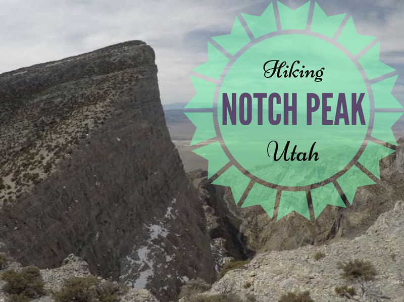
Notch Peak (9,658 ft) is in Utah's West Desert near the town of Delta, Utah. Notch Peak is part of the House Range mountains and Notch Peak Wilderness Study Area.
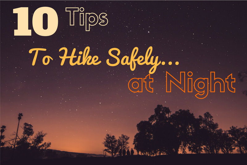
Hiking at night offers a much different experience of your favorite trail compared to hiking in daylight. You start to hear sounds, see shadows, the trail might look different, and you may feel like someone, or something, is following you. Getting use to hiking at night takes some practice, and also requires a little preparedness. Whether you planned on hiking at night, or perhaps your 3 mile hike turned into a 10 mile hike, use these 10 Tips to Hike Safely at Night!
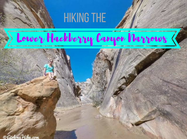
Lower Hackberry Canyon is located in Southern Utah of the famous Cottonwood Road Scenic Byway, in between Cannonville and Big Water, Utah. It's rarely visited since you need to drive down a dirt road to get to the trailhead. However, it's now one of my favorite large slot canyons to hike for a few reasons: 1) the water is never more than ankle deep and makes for a great water hike 2) dogs are allowed and also enjoying playing in the water 3) no matter what your level/skill of hiking is everyone can do this hike 4) you'll likely see no people and 5) you can choose your distance.
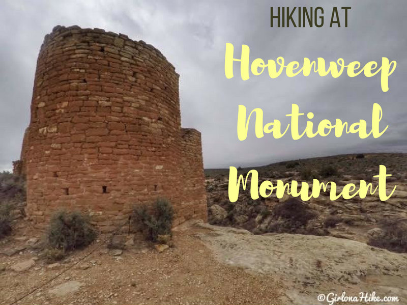
Hovenweep National Monument is home to six prehistoric, Pueblo villages spread over a 20 miles range of mesa tops and canyons along the Utah-Colorado border. Multi-storied towers perched on canyon rims and balanced boulder lead visitors to marvel at the skill and motivation of the builders. The trail system at Hovenweep provides excellent views of all the archaeological sites.
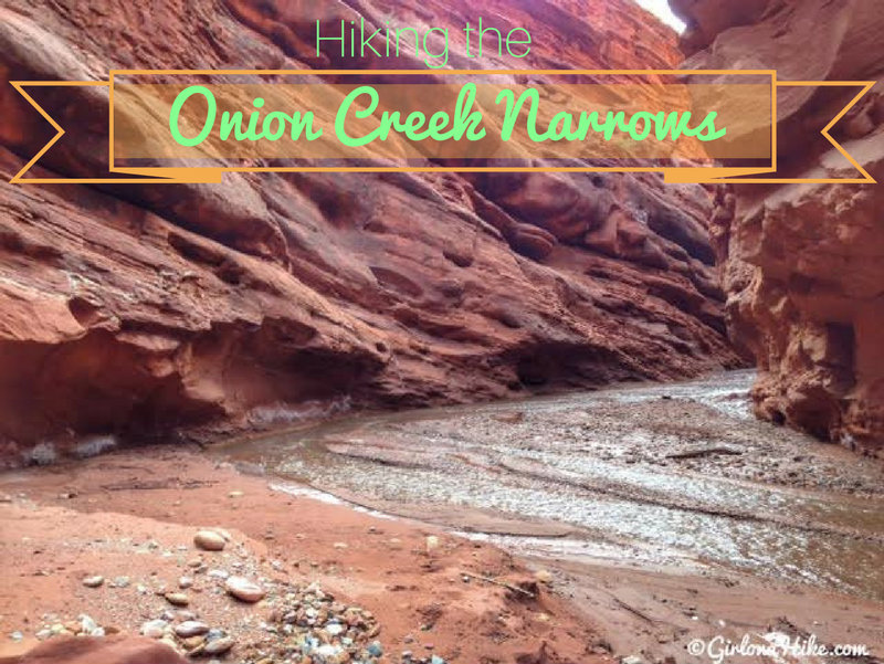
Onion Creek is located off of HWY 128 near the gorgeous Castle Valley and Fisher Towers area - both excellent for hiking and climbing. Onion Creek actually extends for roughly 22 miles, but the best section, the Onion Creek Narrows, lasts for only 1 mile. Because of the short distance, it's a great hike (really more of a walk) for the whole family - dogs will appreciate the cool relief of the creek on a hot summer day.
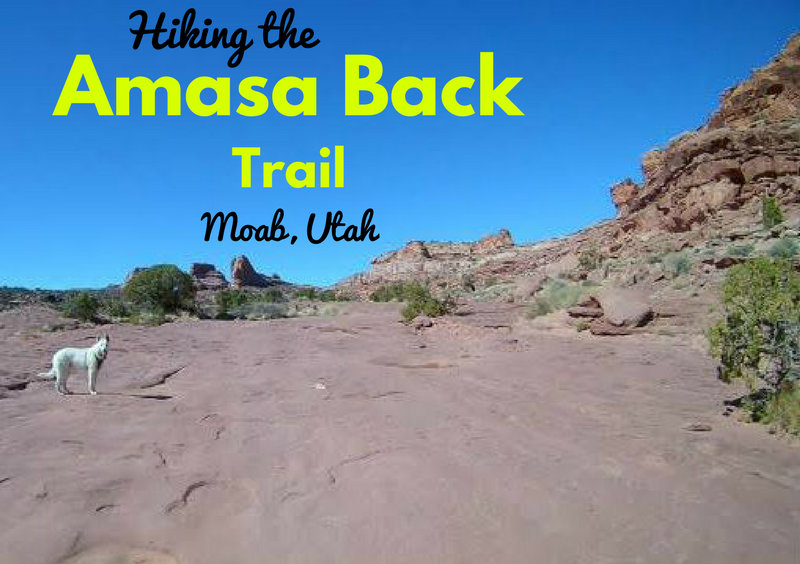
The Amasa Back Trail, like many in Utah, is an old road, more popular with mountain bikers, four-wheelers, and motorcyclists than hikers. Most people's attitude is, "Why hike when you can ride?" The easy answer is rather than being preoccupied with a machine, hiking allows you to connect with the earth directly, allows you to look up more often and take in the views, and (for me) more fulfilling than riding.