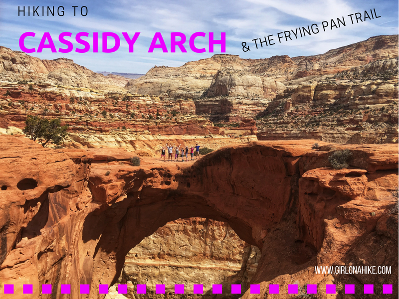
Cassidy Arch is located in Capitol Reef National Park, in the heart of the Waterpocket Fold, a 100-mile monoclinal flexure (simply, a "buckle") in the earth's upper crust. It runs North to South, all the way down to Lake Powell. Along the Fold, rocks have been pushed up and erosion has cut through layers creating deep, narrow canyons and formations. Cassidy Arch, named after Butch Cassidy, is roughly 40 ft across near the top of the arch and the trail provides amazing views of the Grand Wash/Capitol Reef area.
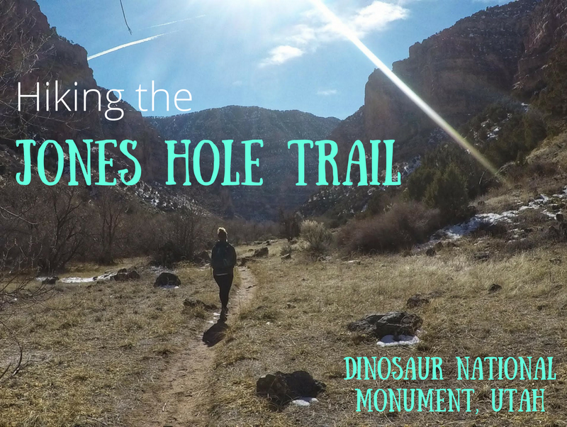
The Jones Hole Trail is located in the northern section of Dinosaur National Monument (DNM) on the Utah side - DNM also stretches across to Colorado. This area and trailhead (TH) is home to the Jones Hole National Fish Hatchery, where rainbow trout, brown trout, and brook trout are raised to stock areas in Utah, Wyoming, and Colorado. The Jones Hole Creek runs alongside the hatchery, and eventually flows into the Green River, where the trail ends. The trail itself is very mellow, gradually descending as it reaches the confluence. Take a short side trip to Ely Falls and the pictographs, before continuing down stream. Big Horn sheep are often spotted in this canyon.
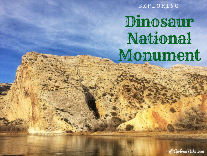
Dinosaur National Monument (DNM) is located in both Utah and Colorado - the Utah side is just outside of Vernal, Utah and offers a large dinosaur quarry, trails, camping, and amazing scenery of the Uintah Basin and Green River. Petroglyphs hint at earlier cultures (mainly the Fremont), and later homesteaders and outlaws found refuge here. Of course the name of the game here are the dinosaur fossils. Visitors can see over 1,500 dinosaur fossils exposed on the cliff face, located inside the Quarry Exhibit Hall. It's one of the most amazing sites for Paleontologists and explorers-alike. Plan to spend at least one full day at DNM.
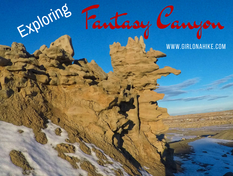
Fantasy Canyon is about an hour south of Vernal, Utah and is a small, but unique area consisting of grayish-brown sandstone. Most of the main erosion direction is horizontal and resembles irregular stacked planks, bones, or thin pinnacles. Keep in mind that these formations are extremely fragile - don't break off pieces or take them home. Most of the formations occur on the north side of the mesa, centered along a narrow ravine only 200 ft long and up to 20 feet deep. Exploring this area is really interesting and fun, but it is really small. Plan on combining visiting Fantasy Canyon with other hikes in the Vernal area to make it a worthwhile trip, If you plan on only coming out here to see Fantasy Canyon, you may be disappointed.
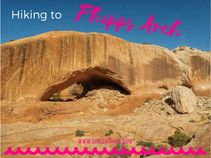
Phipps Arch swoops through Grand Staircase Escalante National Monument affording constant view of bizarre and beautiful land, as hikers search for this hidden arch. There is no official trail - getting to the arch requires a little research and planning. This is a hike you definitely want to have a GPS for. Because this is a trail-less approach, you will rarely see many people hiking here because it's not nearly as popular as its neighbor trail, Lower Calf Creek Falls.
Broken Bow Arch is located off Hole in the Rock Road (HITR), 41 miles south of Escalante, UT. Broken Bow spans nearly 100 ft, and sits in the middle of Willow Gulch. This trail is more popular among backpackers looking to reach Fortymile Gulch as well. This hike can be done in a loop, but is just as good as an out-and-back hike at 4 miles RT.
Zebra Slot Canyon is located off of Hole in the Rock Road, near Escalante, UT. The hike is only 2 miles in, and the best section of the striped walls only lasts for about 100 ft. Getting to the slot is quite easy, as it meanders through Juniper & Sage brush, cuts through a beautiful red rock canyon, then open up as you walk through the sandy dry wash, and eventually leads to the iconic striped walls resembling zebra stripes.
Spooky & Peekaboo are the most popular slot canyons in the Escalante area. The access is easy, you can easily do both as a loop in a few hours, and hikers without technical canyoneering equipment or skills can enjoy both. Spooky slot canyon is one of the narrowest canyons in the world that hikers can safely navigate. It's much longer and slimmer than Peekaboo, forcing hikers to carry daypacks to the side as you shuffle through. Add in a few short obstacles and one 5 ft scramble to make it that much more fun. Claustrophobic people will have a hard time with this Spooky.
The Rochester Panel and Molen Reef Petroglyphs are near Emery, Utah, and consists of one very large panel of hundreds of images likely carved by the Fremont Native Americans. The vast majority of the petroglyphs have a strong Barrier Canyon influence, including animals, female/male figures, and one large rainbow-like image. Molen Reef Petroglyphs are much smaller, but still expose what the native people were contemplating. You can easily combine both in one afternoon, as the hike to the Rochester Panel is only 1/2 mile, and you can drive right up to the Molen Reef area. Kids, dogs, and casual hikers will enjoy these areas, but please respect the rules and DO NOT touch any of the petroglyphs.
The Dutchman Arch & the Head of Sinbad Pictographs are located in the San Rafael Swell - they are actually only about 1/4 and 1/2 mile north of I-70, but driving there takes some effort and a 4X4 drive car. Dutchman Arch is actually quite large, and a fun area to explore with dogs or kids. There's no hiking involved - you can park on either side of the arch.