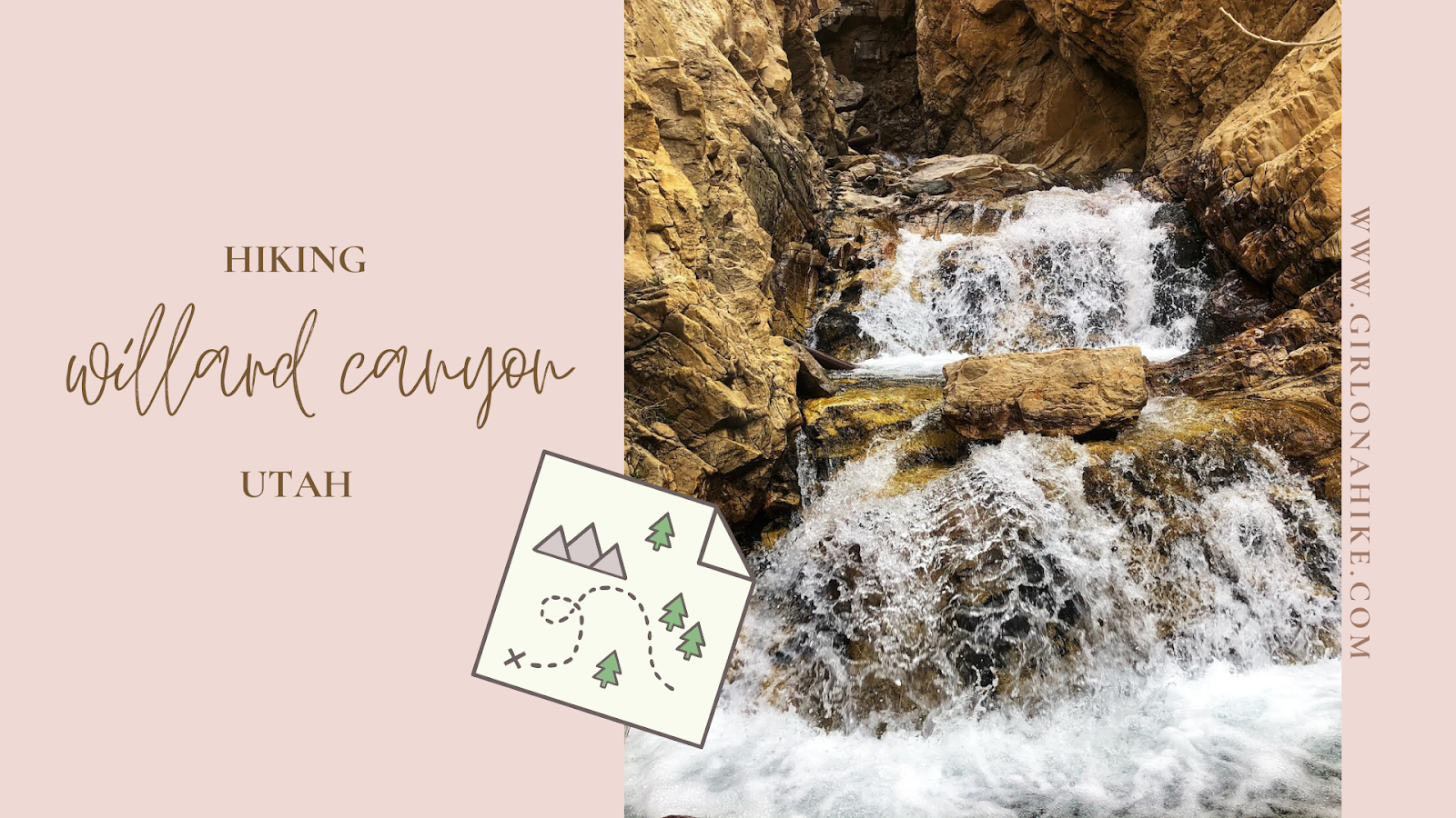
Here are my top 7 Reasons Why Winter is the best season to hike in Utah! Ever considered winter hiking? Summer trails are full with people hiking, but winter? You'll see half the people. Yes, it's cold. You'll get a little wet from snow. But so what - that's what layers are for!
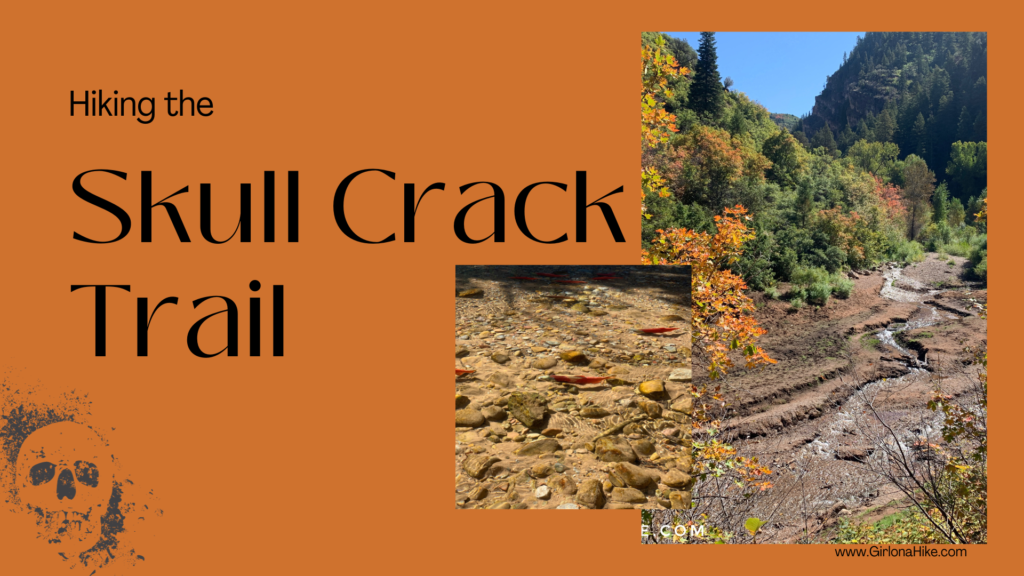
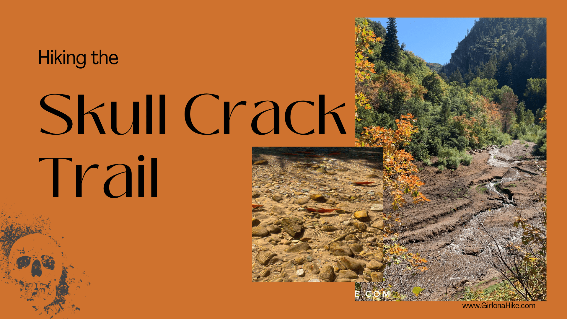
The Skull Crack Trail at Causey Reservoir is a scenic hike just 45 minutes east of Ogden, Utah. Nestled at 5,700 feet in elevation, this 142-acre reservoir is surrounded by steep, forested canyons that branch into three distinct forks, offering hikers stunning views and a peaceful escape into nature.
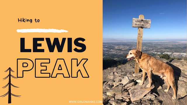
Lewis Peak (8,031 ft) is located in North Ogden, Utah and sits on the mountain between Ben Lomond to the North and Mt. Ogden to the south. This peak is usually forgotten due to its popular neighboring peaks but it is actually a very scenic summit.
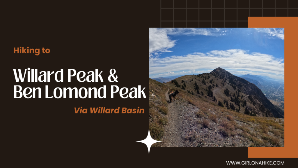
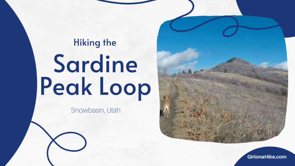
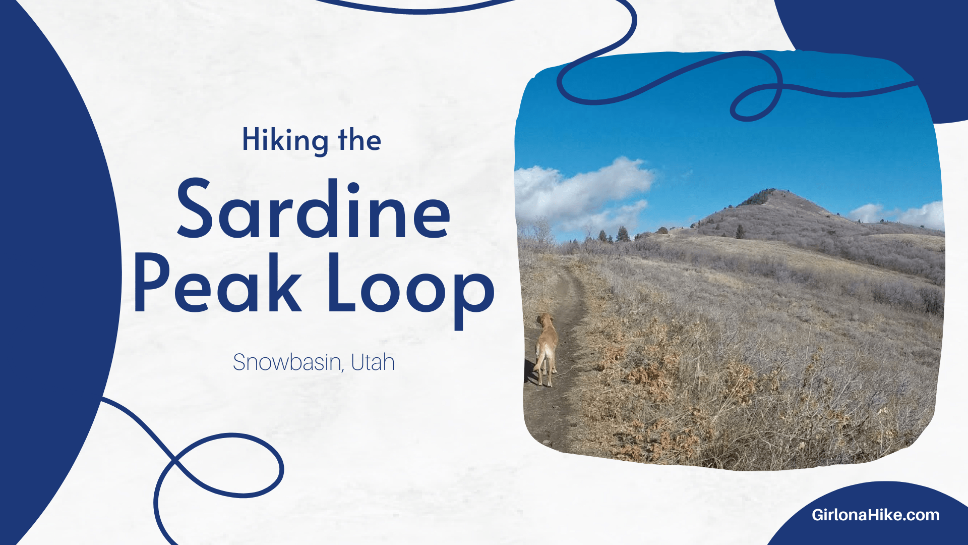
Sardine Peak Loop: Scenic Hike with Views of Ogden Canyon
The Sardine Peak Loop begins at Snowbasin Ski Resort and offers an easy yet rewarding hike, leading to the stunning Ogden Canyon Overlook and surrounding canyon vistas. This 9-mile loop is a great choice for those seeking a relatively gentle hike with incredible views.
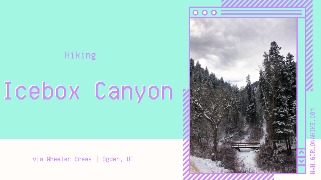
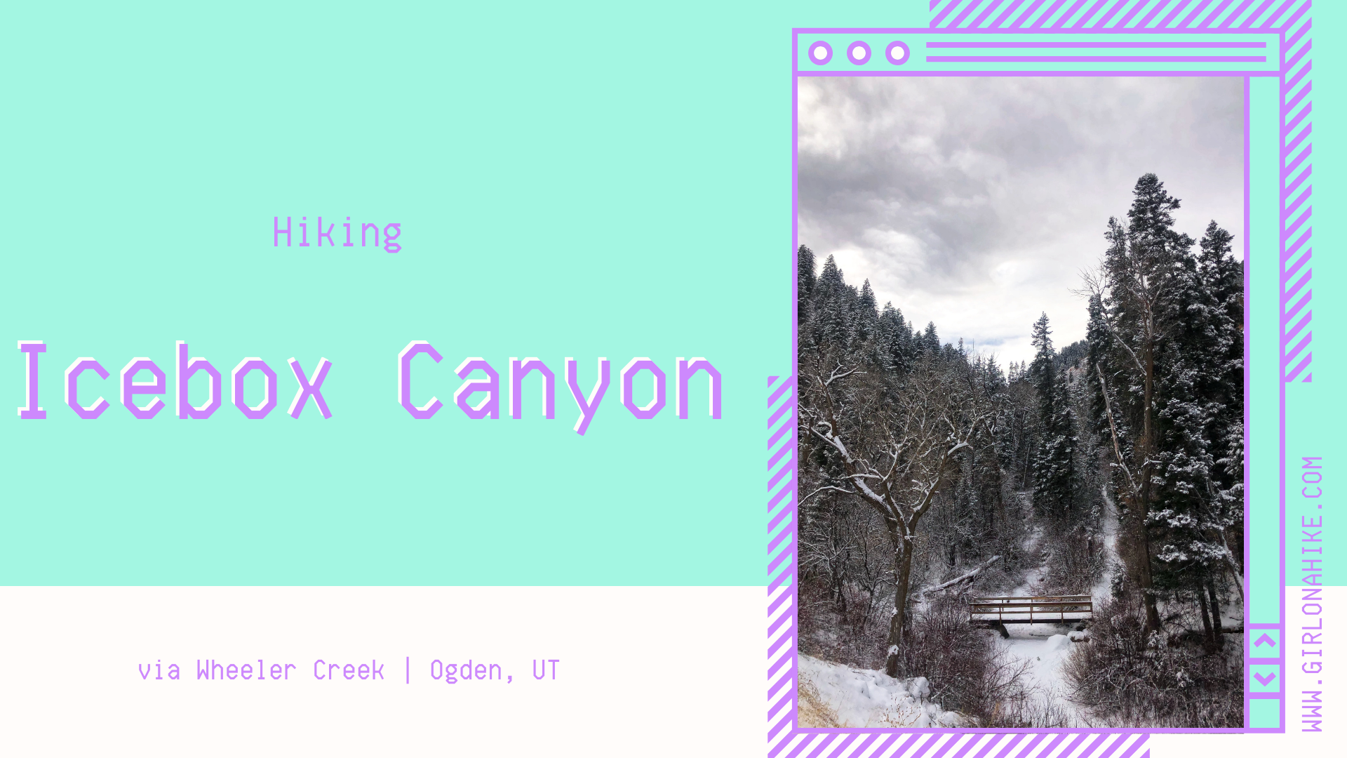
Icebox Canyon is a 5 mile loop hike that starts at Wheeler Creek, cuts through Icebox Canyon itself, the Art Nord meadow near Snowbasin, then back through Wheeler Creek.
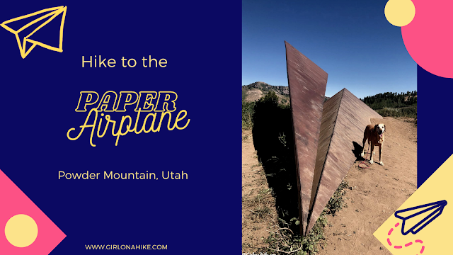
Hiking to the Giant Paper Airplane at Powder Mountain
The Paper Airplane Trail at Powder Mountain Ski Resort is a short and fun hike that’s perfect for families, kids, and leashed dogs. This easy, well-marked trail leads to a unique 20-foot-long metal paper airplane sculpture, which doubles as a striking viewpoint and an obstacle feature for mountain bikers.
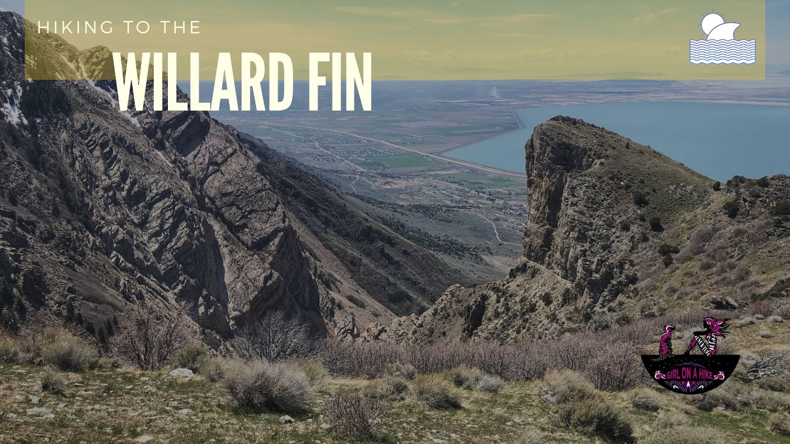
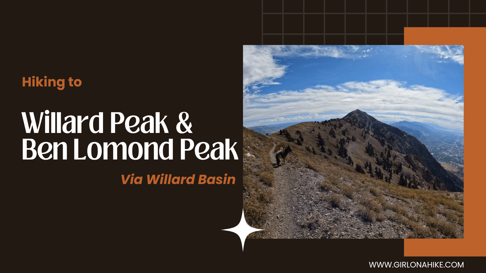
The Willard Fin (6,579 ft) is a prominent feature along the foothills above Willard, UT.


