

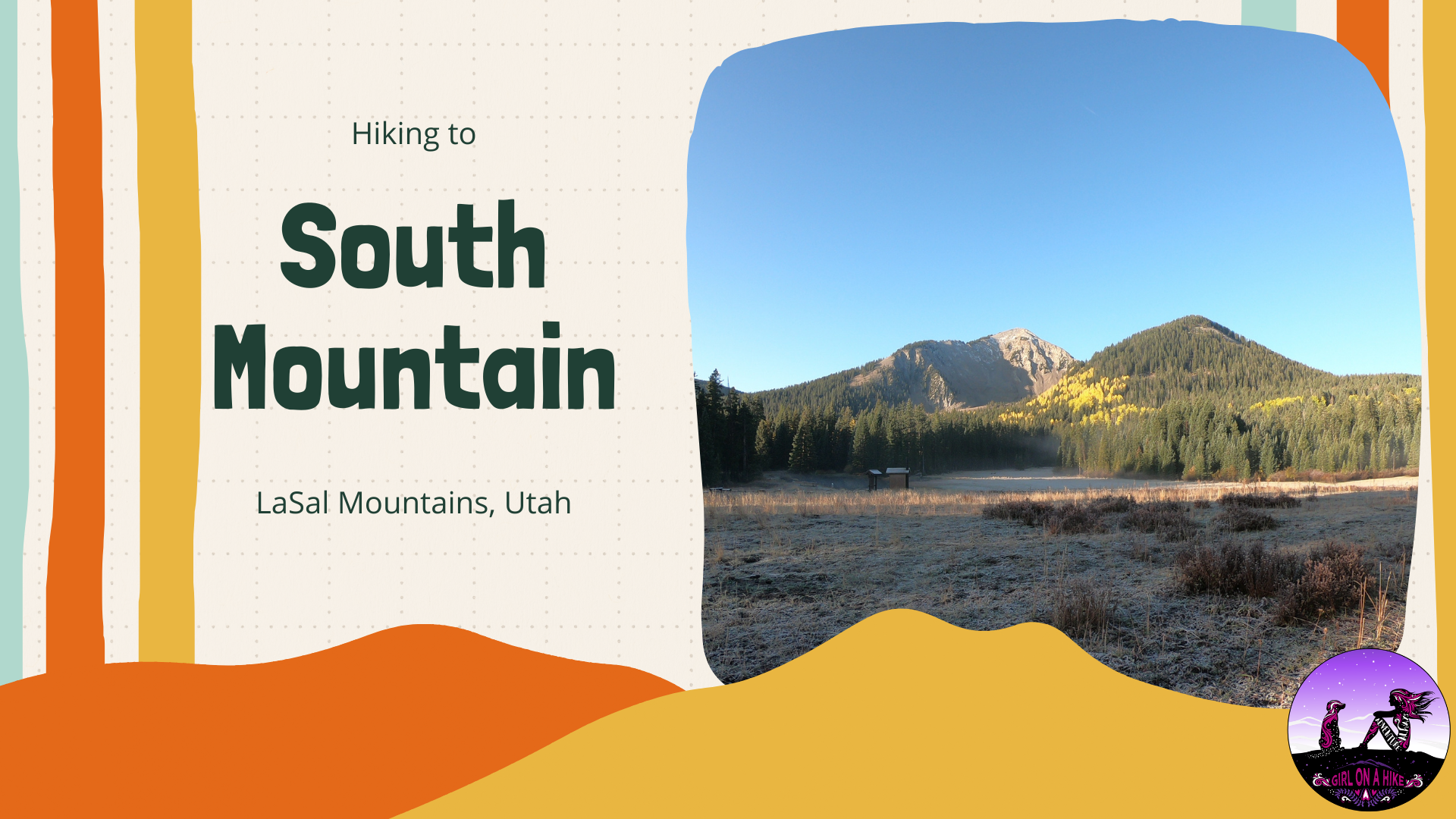

South Mountain (11,817 ft) is located on the very South end of the LaSal Mountains just outside of Moab, Utah.
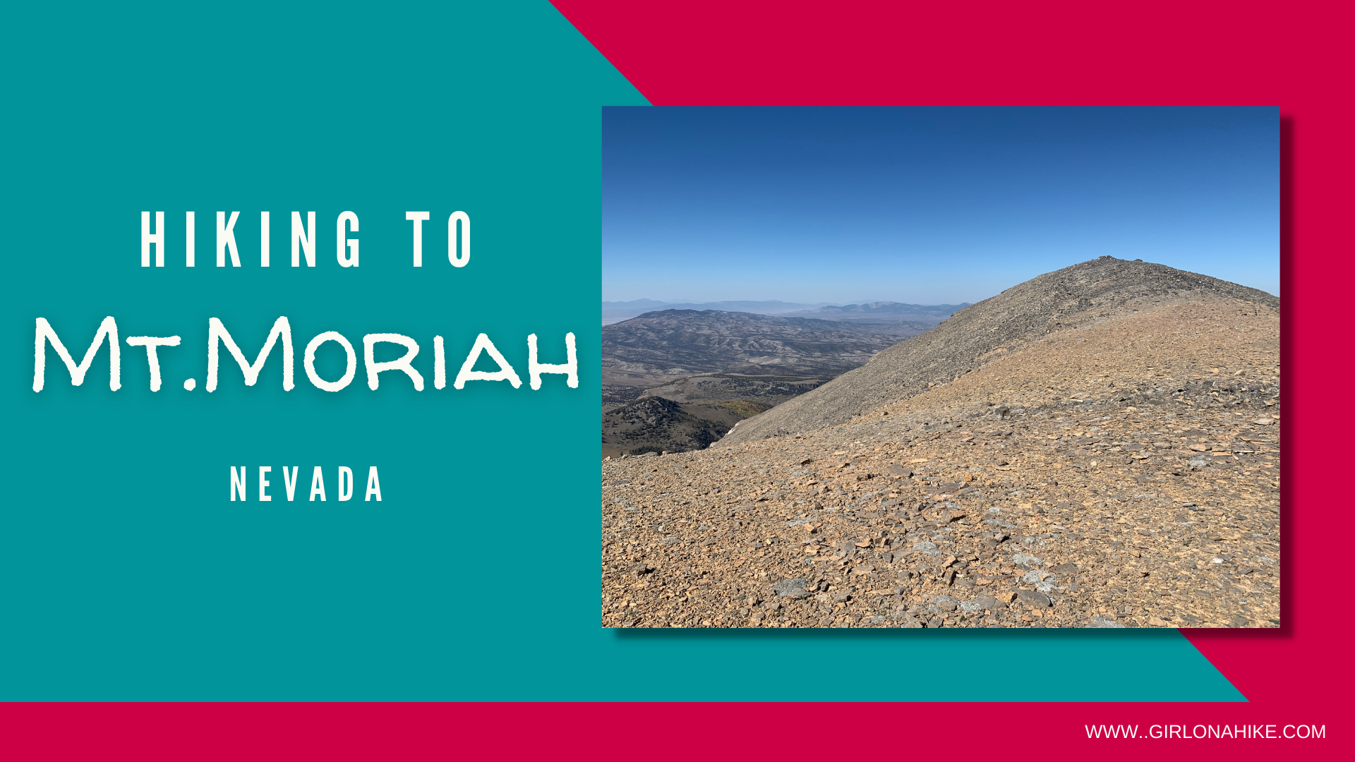

Mt.Moriah (12,073 ft) is located within Mount Moriah Wilderness in Nevada. This peak is often overlooked by its neighbor to the South, Wheeler Peak, in Great Basin National Park. But that is what I loved about this area - we passed very few people on the roads, and literally no one on the trail! Mt.Moriah is very remote and 4WD and high clearance is needed to reach the trailhead.
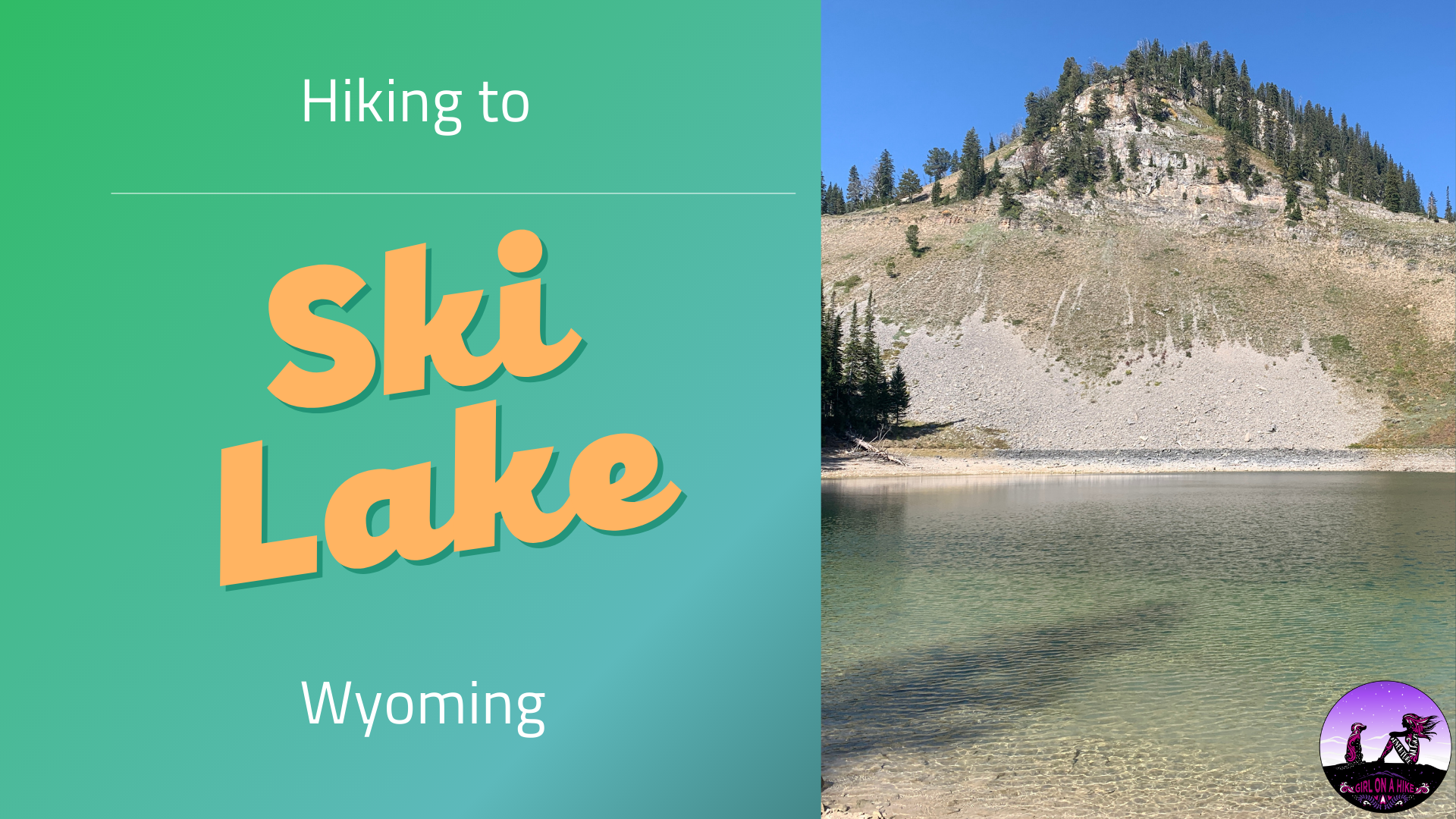

Ski Lake is located in between Victor, Idaho and Jackson Hole, WY, and sits at an elevation of 8,650 ft. Locals say this is the easiest alpine lake to hike to in the area at only 4 miles RT! The trail is very mellow and great for all ages, including dogs off leash.
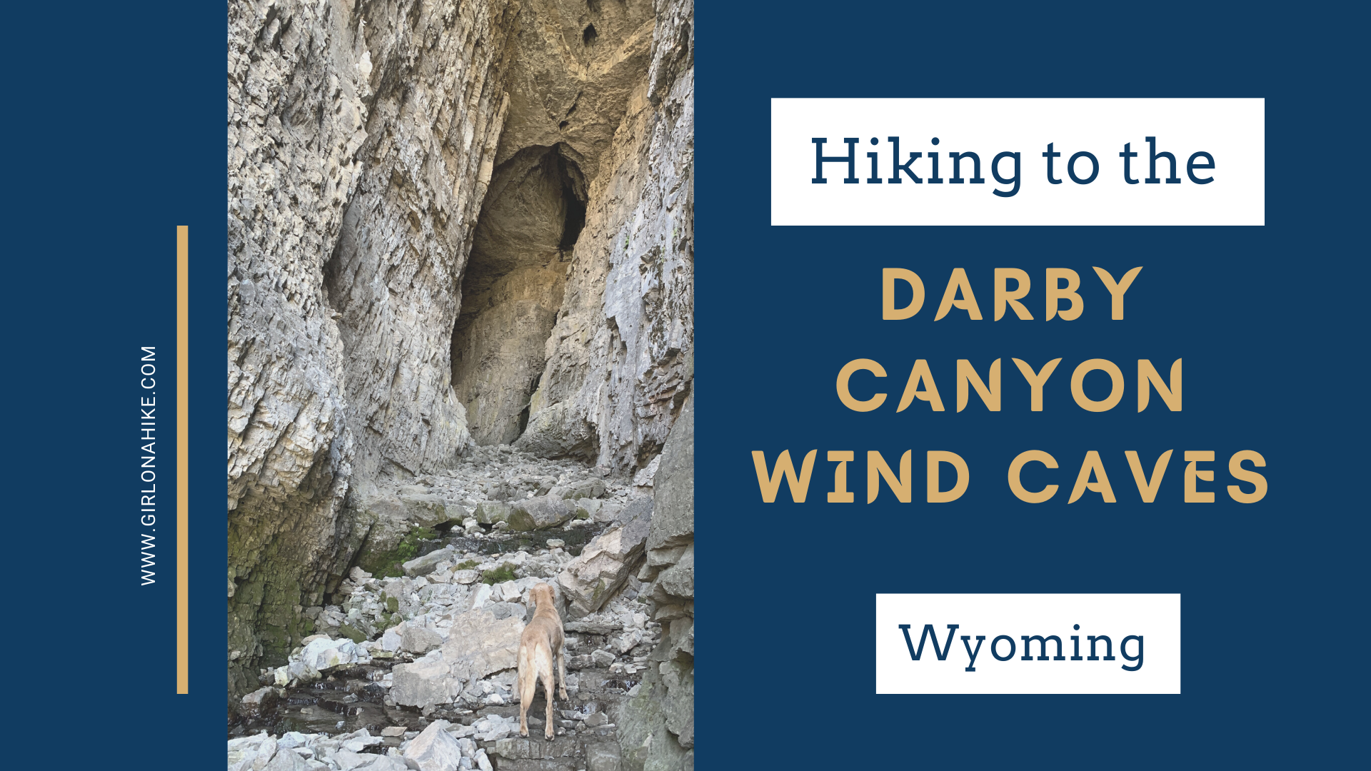

The Darby Canyon Wind Caves are located near Alta, WY, within the Jedediah Smith Wilderness ("the backside" of the Tetons). This is a very popular trail, so don't expect to have any solitude - you'll constantly be pulling over to let others pass, even horses, and the parking lot is full by 10am on weekends. But don't let that stop you from visiting at least once!
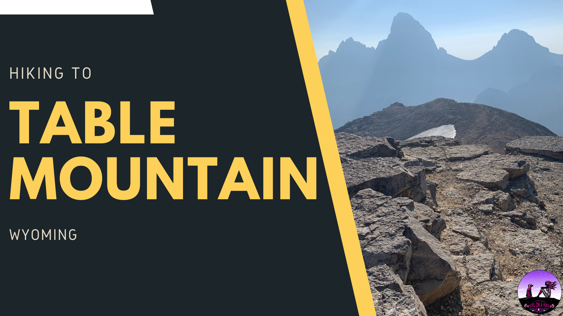

Table Mountain (11,106 ft) is located within the Jedediah-Smith Wilderness of Wyoming, and features amazing views of the lesser-viewed side of the backside of the Tetons. The Grand Teton, South, and Middle Teton are the star of the show here, as they tower over Cascade Canyon.
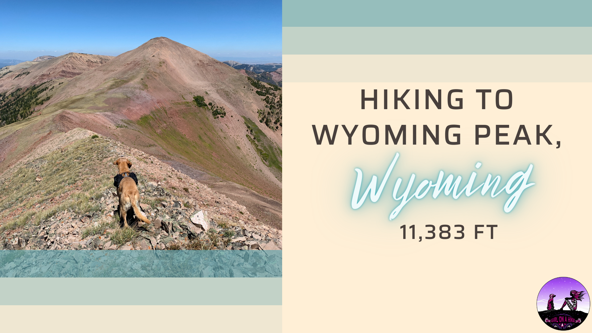

Wyoming Peak (11, 383 ft) is the tallest mountain in the Wyoming Mountain Range, located in West-Central Wyoming. On the summit lies an old fire lookout in shambles, but don't let that distract from the rest of the breathtaking views!

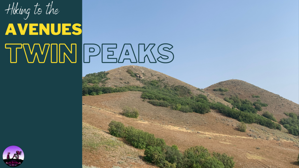
The Avenues Twin Peaks is another one of my go-to after work hikes. This hike is the most beautiful in Spring during Sunset, when the yellow flowers are blooming, the hills are green, and the temperature is just right; however this trail can be hiked year round. The Avenues Twin Peaks is almost always windy, so a light jacket is recommended. There is no water and no shade, and the trailhead is a popular spot for mountain bikers to depart on their ride.

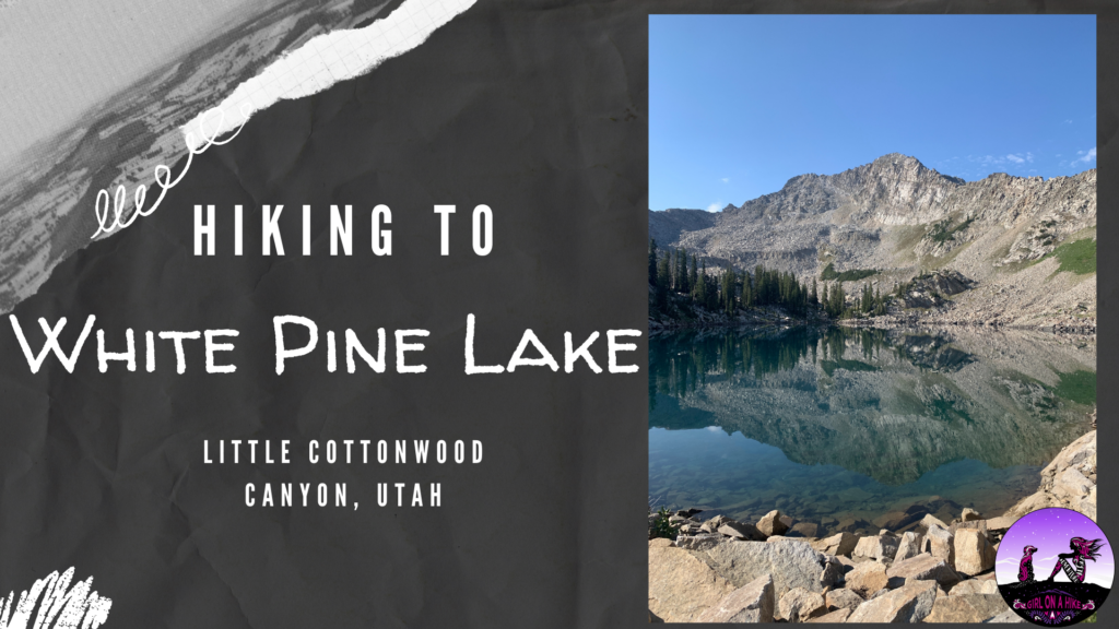
White Pine Lake in Little Cottonwood Canyon (LCC) sits at 10,200 ft, and is surrounded by several peaks. The trail follows an old mining road, so it is very wide and gradual. Even though you'll hike 5.5 miles one way, you'll only gain about 2,500 ft - not bad by Wasatch standards.

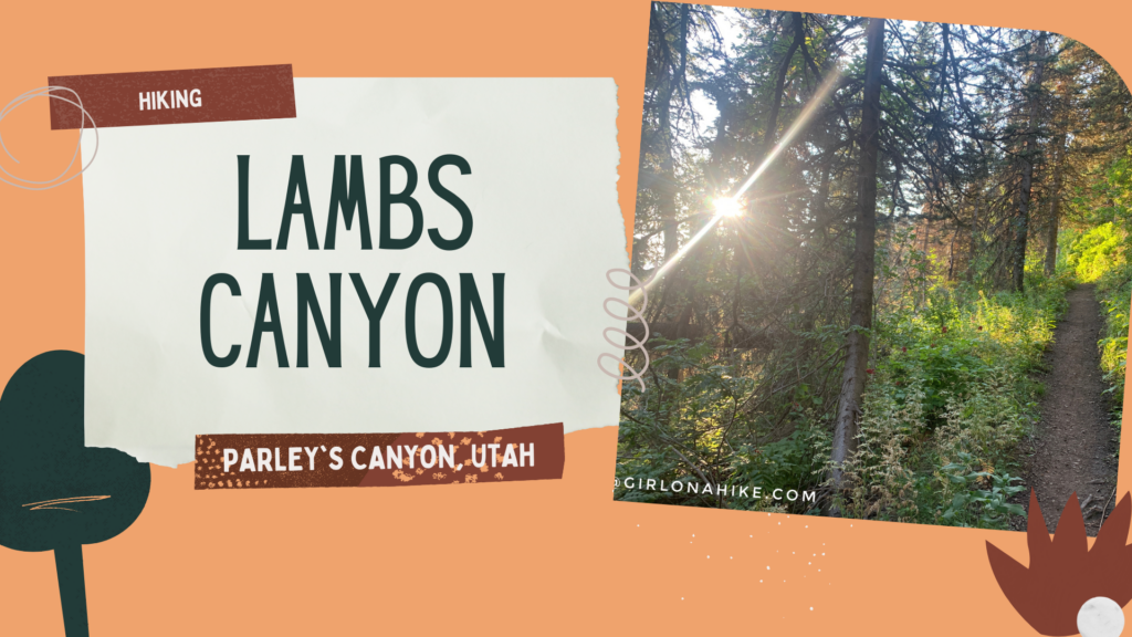 Lambs Canyon is located off I-80 after passing through Parley's Canyon, but before you reach Jeremy Ranch. Lambs Canyon is part of the county Watershed, and therefore, dogs are not allowed. There are multiple signs saying no dogs, and there was even a county sheriff patrolling the area as well, so don't even attempt to bring them up here. It's a bummer to leave dogs at home, but every once in awhile I want to do a hike that Charlie can't.
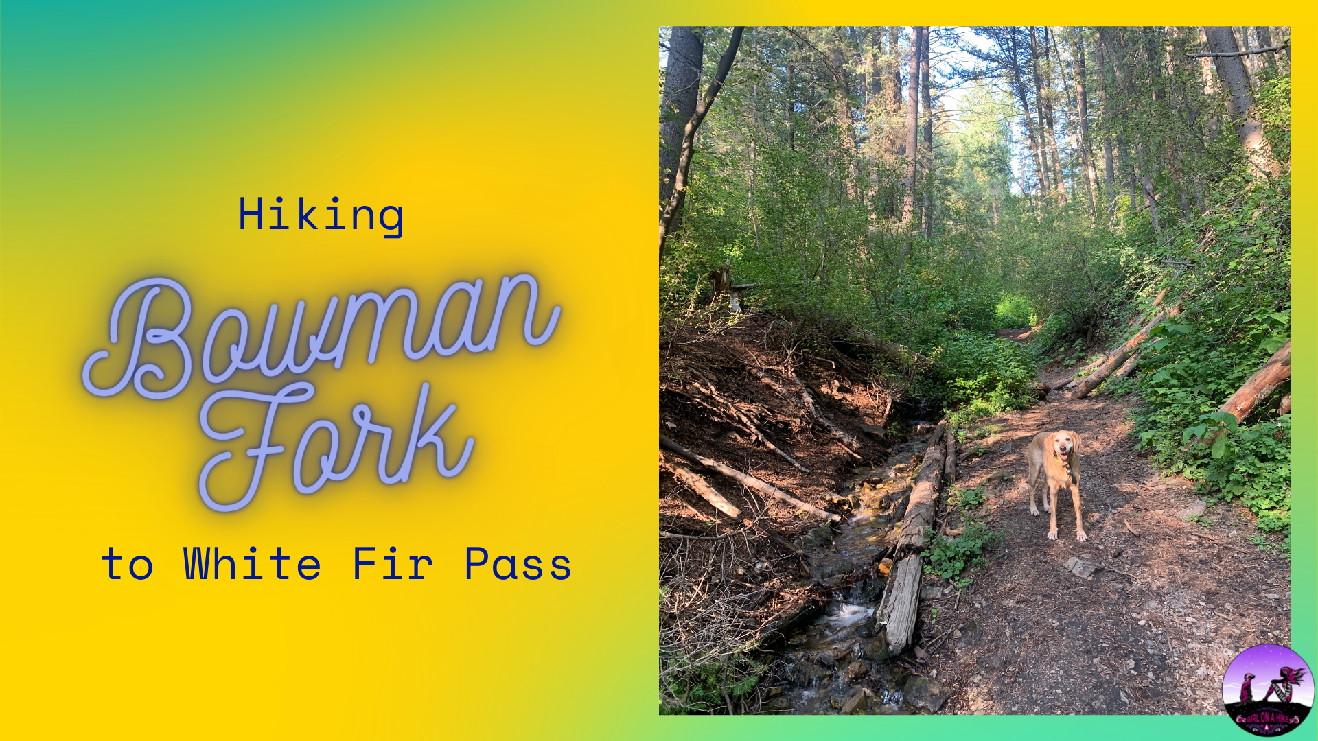
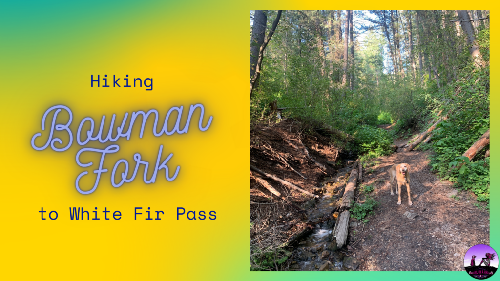
The Bowman Fork Trail is located in Millcreek Canyon, and is popular for summiting Gobbler's Knob. I usually do this hike after work during the week and don't have time (or sometimes the energy!) to hike to the summit, so my goal is always White Fir Pass. I really like this trail in the summer months because it's really well shaded, cooler, and it follows a stream that the dogs and drink from and play in. In Winter, it's nice snowshoeing because you will hardly see anyone up here.