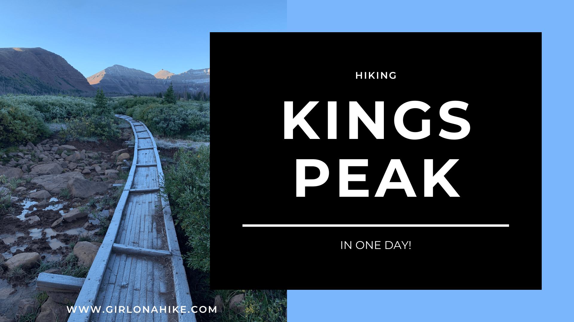
Kings Peak is Utah's Tallest mountain at 13,528 ft! Most people do this as a backpacking trip, but if you like ultra running, then doing it in a day is a huge accomplishment! About Coming in at 26 miles round-trip, most people
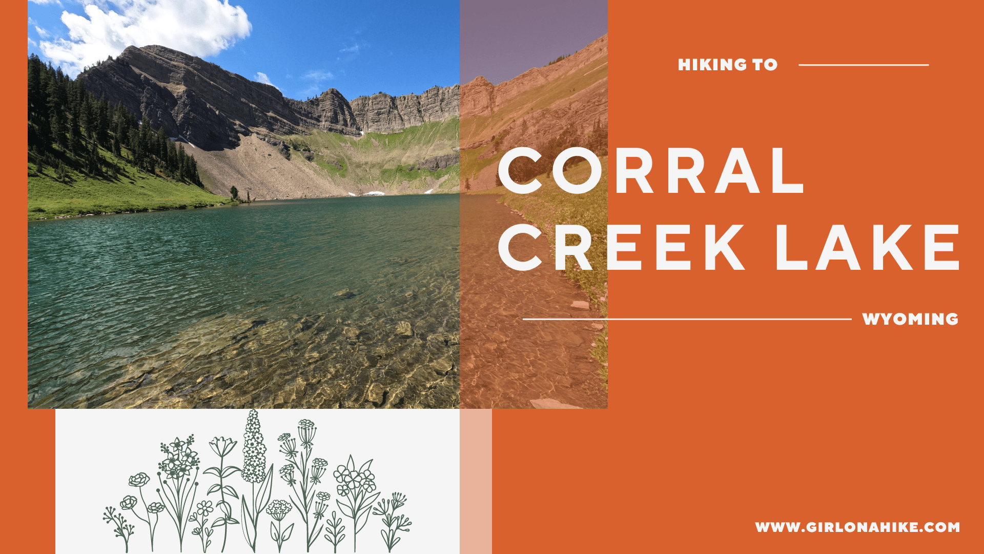
Corral Creek Lake is just East of Afton, Wyoming, and sits at an elevation of 9,500 ft in the Salt River Range. About Corral Creek Lake can be accessed via two different trailheads - the Periodic Spring TH on the north slope
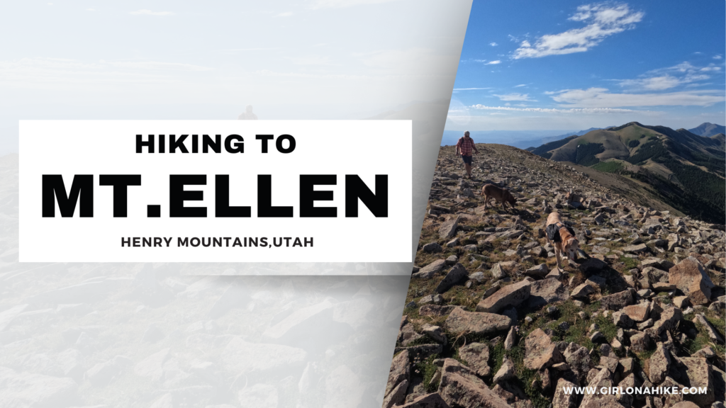
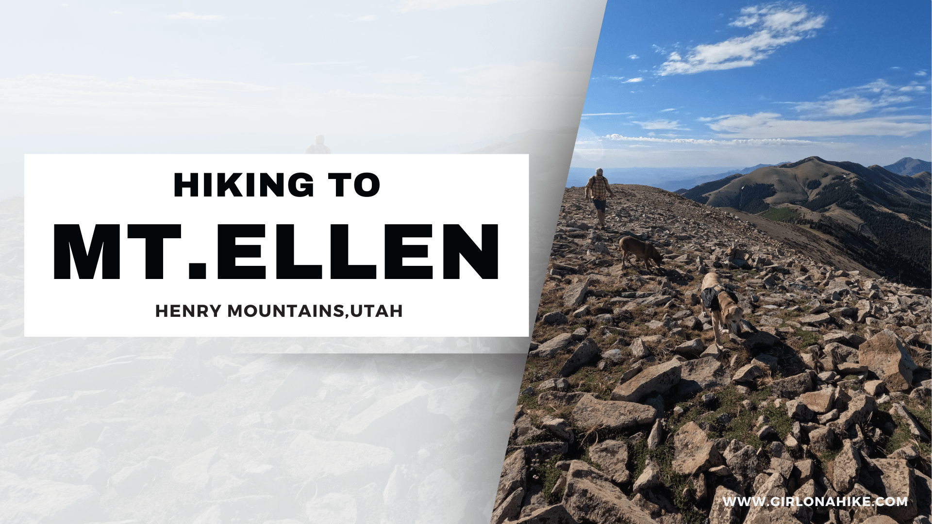
Mount Ellen (11,522 ft) & Mt. Ellen Peak (11,506 ft) are in the Henry Mountains, about 45 minutes - 1 hour south of Hanksville, UT. The Henry Mountains are an island of sort, as they are surrounded by three of Utah's National Parks - Capital Reef, Arches, and Canyonlands. Mount Ellen is a hulk of a mountain, composed of two distinct parts. The first is the North Ridge, which has the 3 highest summits in the Henry's.
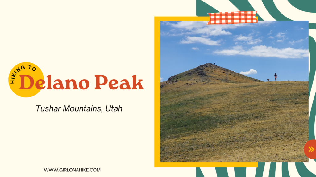
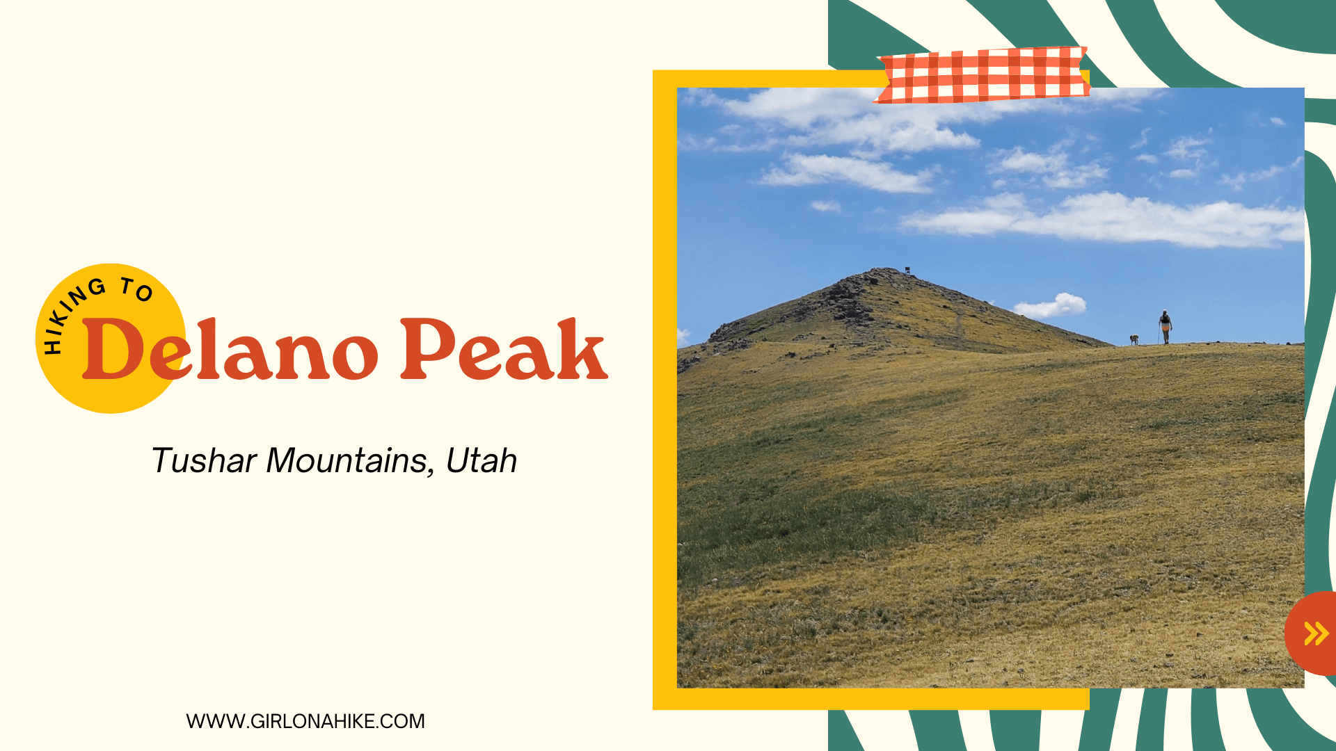
Delano Peak (12,169 ft) is the county high point for both Beaver & Paiute Counties, and sits to the east of Beaver, UT in the Tushar Mountains.
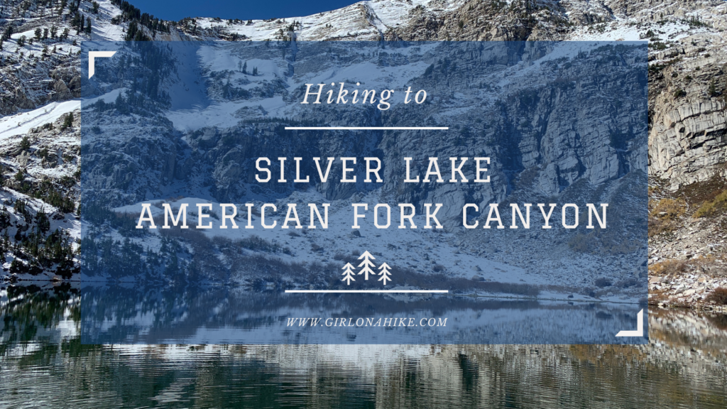
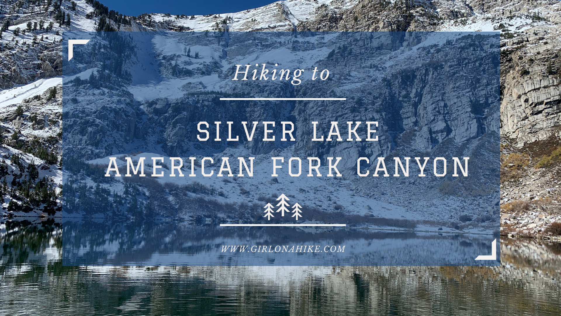
Silver Lake in American Fork Canyon is a beautiful high alpine lake that sits just below the Little Cottonwood Canyon ridgeline on the south side.
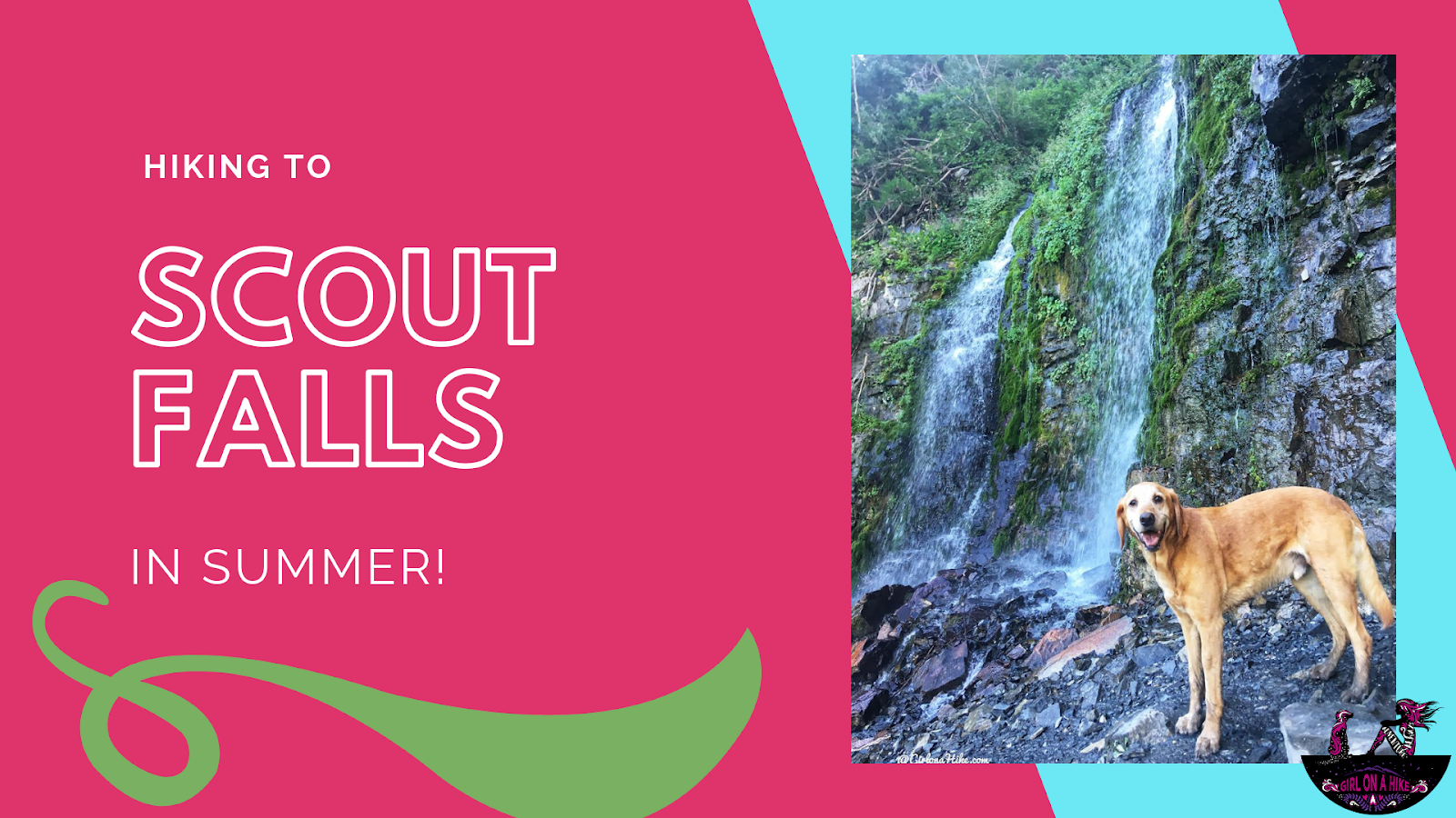
Scout Falls is a waterfall located along the popular Timpooneke Trail in American Fork Canyon, which eventually leads to Mt.Timpanogos. Many people chose to only hike 1.5 miles to Scout Falls then return to their car for a short yet scenic hike. This hike is very gradual and is great for dogs off leash as well as kids.
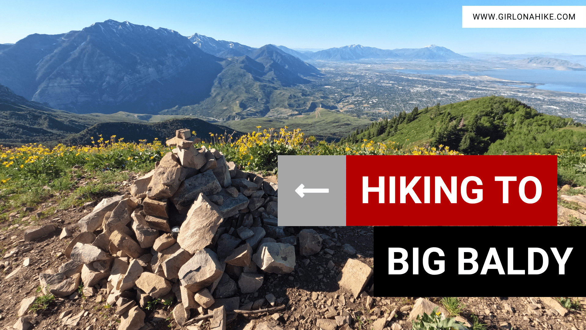
Big Baldy (8,750ft) is a prominent peak just to the West and below Mt.Timpanogos. It is a very challenging hike. About While the Big Baldy summit is only 3.6 miles one way, you will gain 3,200 ft! There are several routes to reach
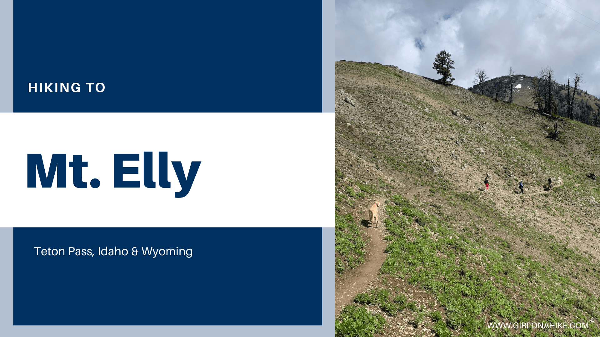
Mt. Elly is a peak to the South of Teton Pass - a popular area for backcountry skiing in winter, and hiking in Summer. About Mt.Elly is an easily accessible peak in the Snake River Mountains at an elevation of 9,262 ft.
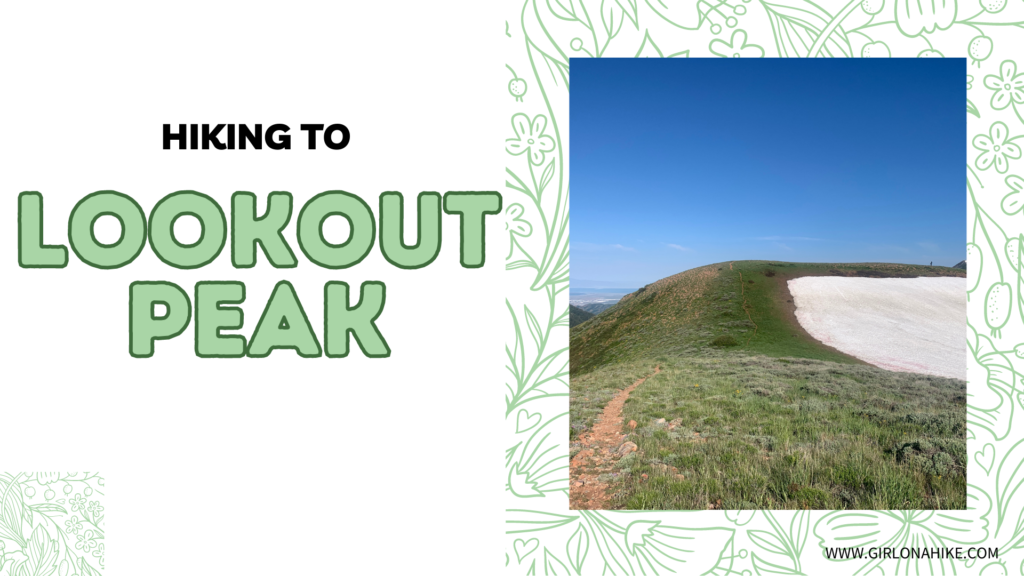
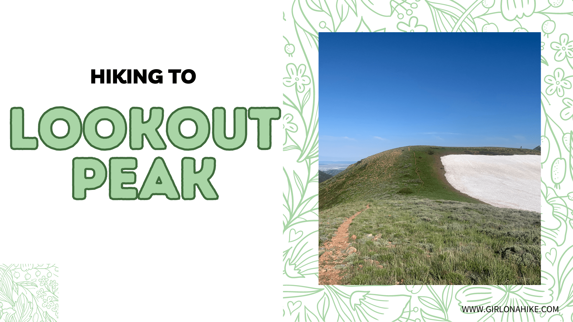
Lookout Peak sits at an elevation of 8,954 ft up Killyons Canyon in Salt Lake County. The summit is not the most spectacular, but the ridge on the hike up offers fantastic views of Parley's Canyon, Emigration Canyon, and City Creek Canyon.
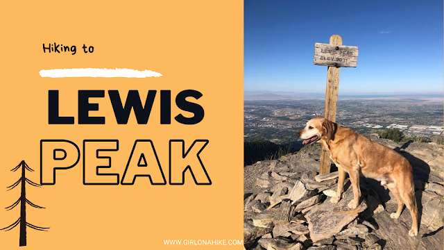
Lewis Peak (8,031 ft) is located in North Ogden, Utah and sits on the mountain between Ben Lomond to the North and Mt. Ogden to the south. This peak is usually forgotten due to its popular neighboring peaks but it is actually a very scenic summit.


