

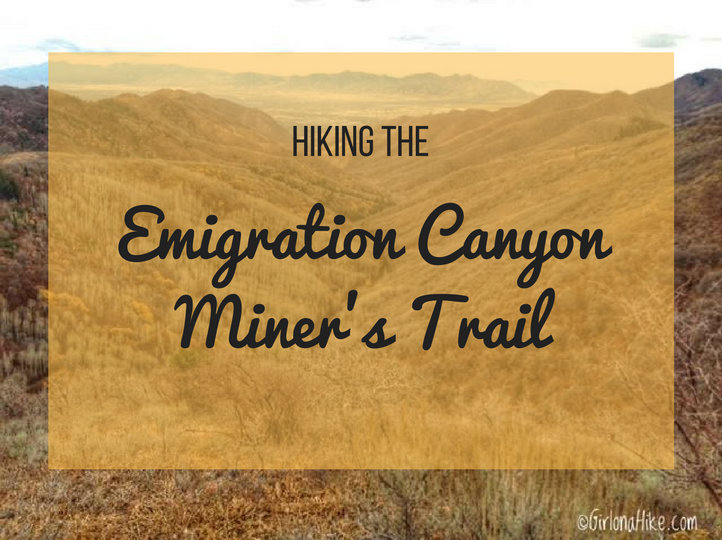
The Miner's Trail in Emigration Canyon is a nice, quiet hike to do with your dogs. The trail leads to a great overlook of Red Butte Canyon, and along the way you'll follow the old jeep trail the miners used to access mines, now gated off. The trail is pretty exposed to the sun, so if you are looking for shade, this isn't the trail for you. The Miner's Trail follows the contour of the hillside, and passes by rocky outcroppings, crosses a stream, cuts by a meadow, and towards the end, offers the hardest part of the hike up a few hundred feet to the ridgeline. This hike is safe to do year round, but my favorite time of year is Fall.
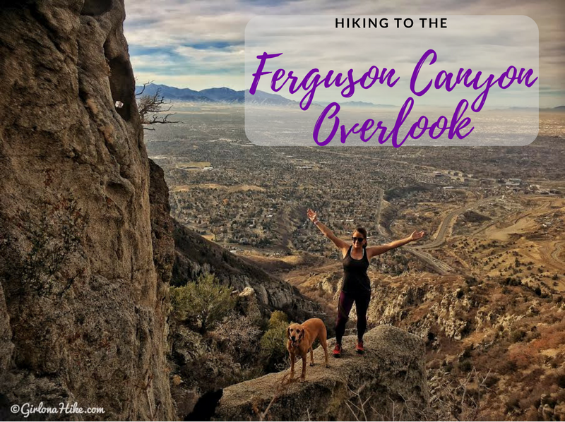
Hiking to the Ferguson Canyon Overlook is just to the south of Big Cottonwood Canyon, and is not apart of the SLC Watershed so dogs are allowed to hike here. It's a great canyon to hike, especially after work if you are short on time. The canyon is well shaded, and as you make your way to the overlook you get an amazing view of the SLC valley. Ferguson Canyon gets really busy on weekends because both hikers and rock climbers fill the canyon. Plan on hiking here either early in the morning or during the week to have a quieter hike.
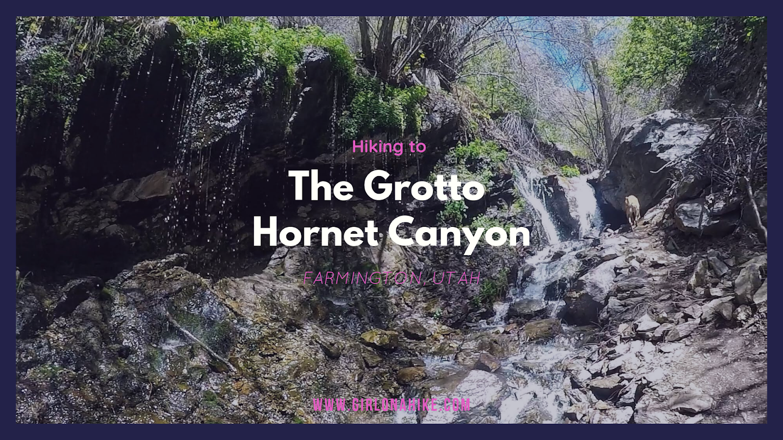
The Grotto, located in Hornet Canyon in Farmington, Utah is the local's hidden spot for cooling off in hot temperatures for both humans and dogs. This well shaded trail leads to a small, but deep pool perfect for two people sitting in to cool off on hot summer days. Prefer standing under a shower of cold water? Then stand under the overhand where 30 ft water weep drips constantly, creating a fun "shower" of fresh mountain spring water. Don't forget your swimsuit for this trail - it's quite the refreshing experience!
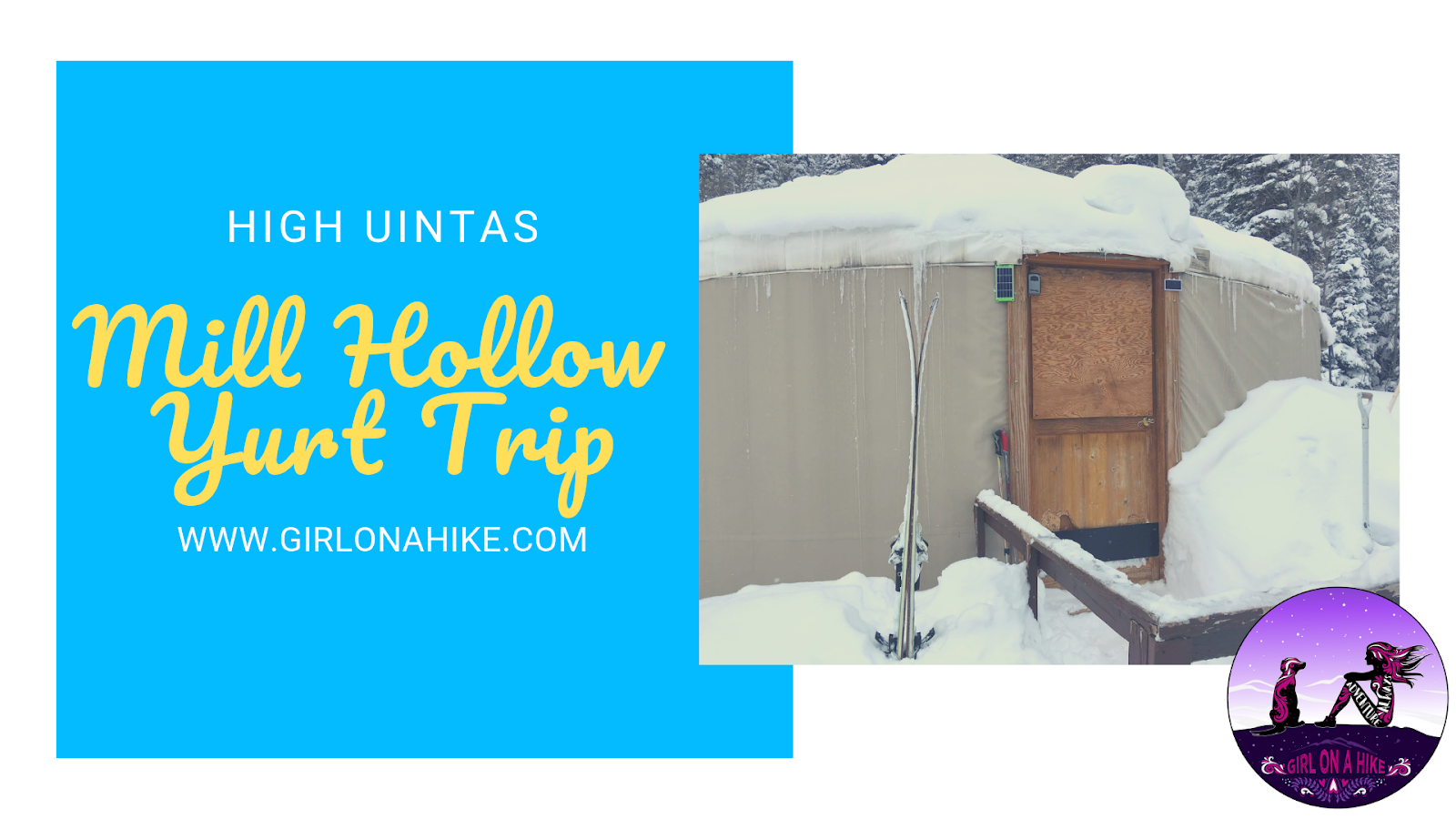
The Mill Hollow Backcountry Yurt is located in the High Uintas Wilderness, with a 6 mile hike/ski/snowshoe to reach the yurt. The "trail" follows HWY 35 for 3 miles, before turning off onto forest roads. This ski in requires you to have comfortable backcountry skills, as well as appropriate gear (beacon, shovel, & probe), as avalanches have occurred here. The hike/ski in is well worth it, as you are surrounded by a winter wonderland, yet have a warm hut to hang out in. Plan to spend at least two nights here - one night is not enough to fully enjoy the area, get out for a tour, or relax.
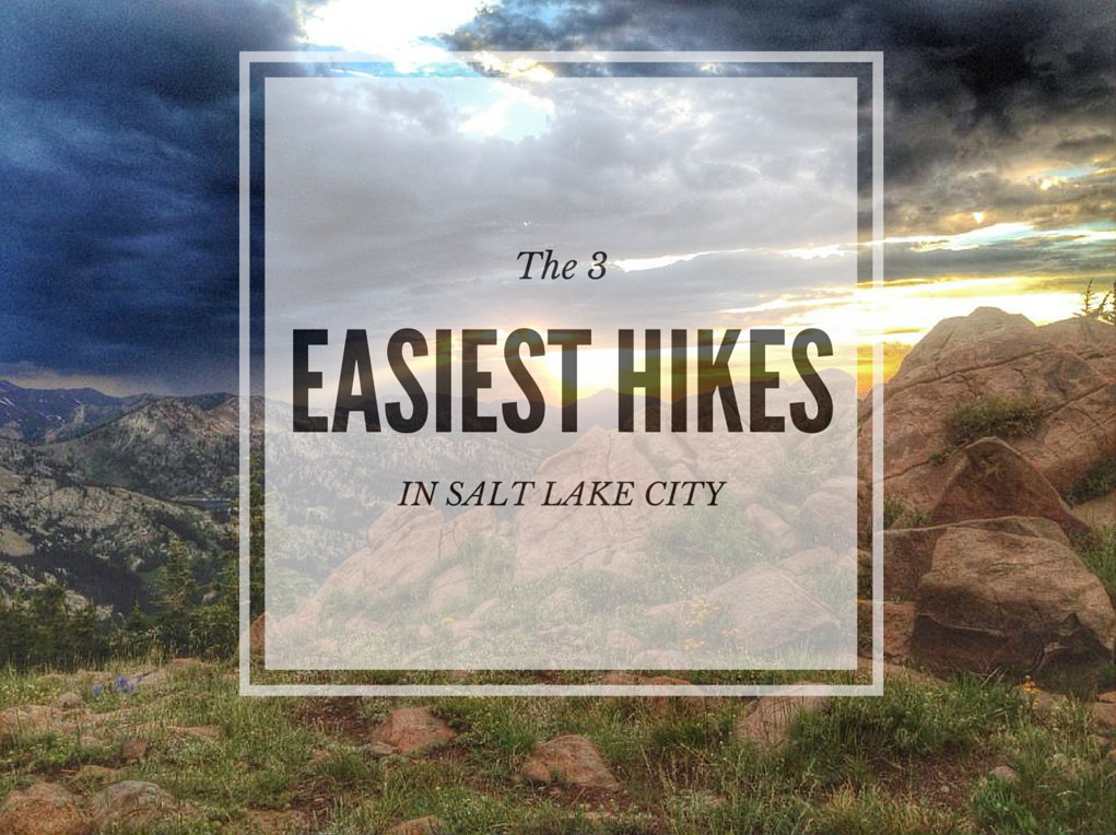
Looking for the 3 easiest hikes in Salt Lake City?
Look no further. I've created this list for those wanting to take the kids out for a short hike, those that may not have enough time for a longer or harder hike, or those with families visiting SLC that want to view pretty scenery but aren't up for a full day of hiking. These 3 hikes range from 5 minutes to 2 hours, and can be hiked year round. No matter how long or short your hike, be prepared with at least one bottle of water per person, a small snack, and sun protection. Grab your hikin' boots, and let's hit the trails!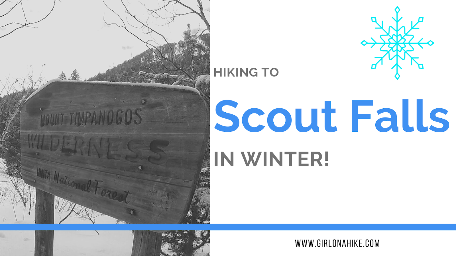
Scout Falls is a popular waterfall located right off the Timpooneke Trail on the way to Mt. Timpanogos. In summer, it's a fun spot to cool off on your hike or filter your water for the long trek to the summit. Normally it is only 1.5 miles to reach the falls but in winter it is 4 miles one way since the road is closed at the winter gate. It's been a goal of mine to see the fall in winter, with long icicles, frozen over.
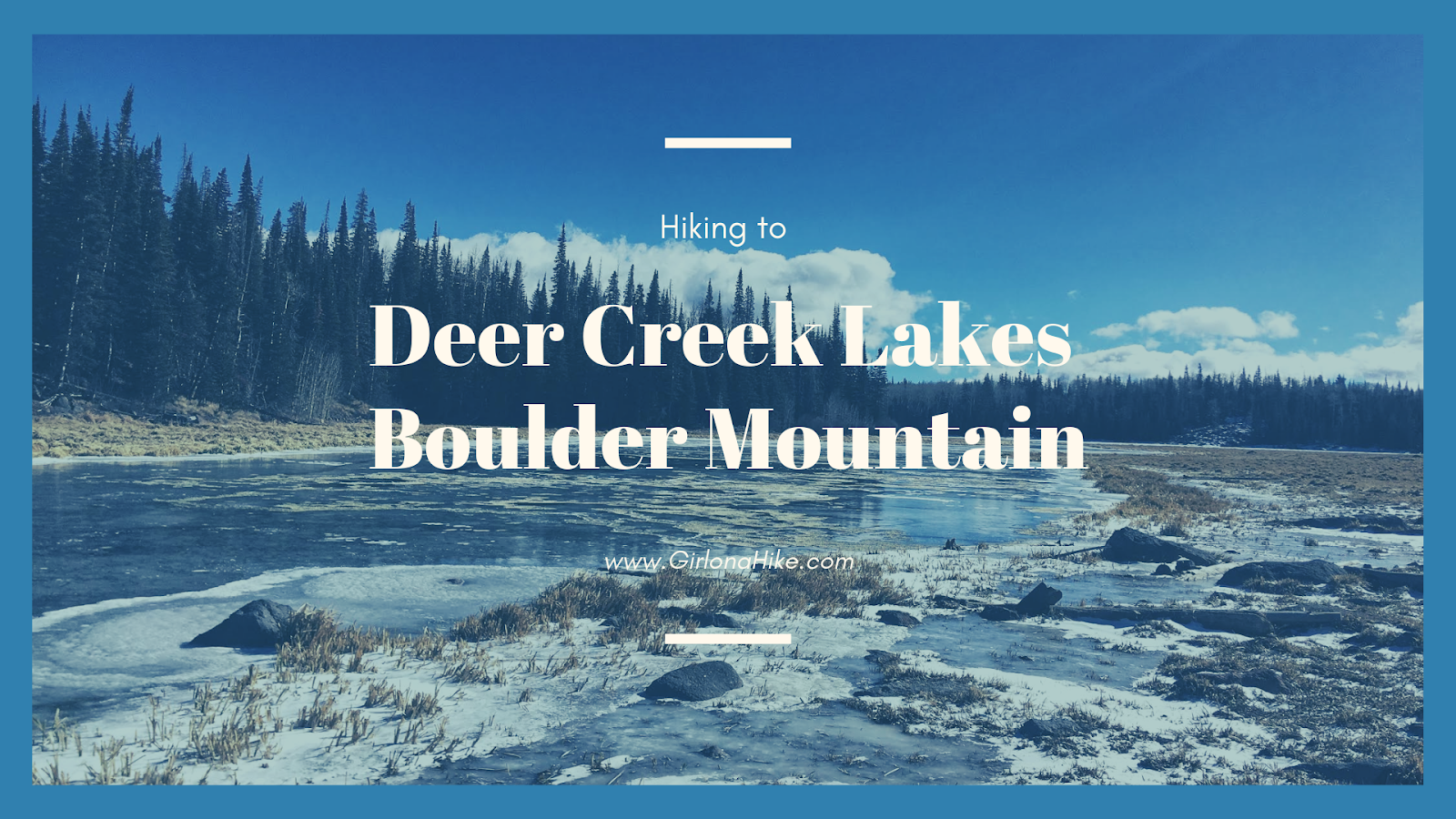
Deer Creek Lakes sits high on Boulder Mountain at 10,000 ft, and several other nearby lakes are accessible as well including Green, Chriss, and Mooseman Lakes. All of these lakes provide for an excellent day hike, quick overnight backpacking trip, and plenty of fishing and sightseeing. The trail to get to Deer Lake is only 2.8 miles one way, and is fairly easy and flat. Over the 3 miles you only gain about 700 ft, making it a gently incline the whole way. Keep in mind that you will be hiking at a high elevation, and that can often slow hikers and dogs down. Take your time - the views from Deer Lakes is amazing and well worth the effort.