

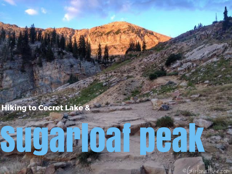
Cecret Lake (yes, that is the correct spelling) is a beautiful alpine lake that sits in the heart of Alta Ski Resort. This easy 1 mile walk is great for kids, taking photos of the amazing wildflowers in July, and possibly sighting a moose. But why stop at the lake, when you can continue just one more mile and summit Sugarloaf Peak? The elevation of Sugarloaf Peak is 11,051 ft, and can be summited in under an hour and half. Bring a light jacket though - it gets really windy and can be quite cold at the top. Keep in mind that the Albion Basin Road is only open from July 4th until the last week of September (or whenever the first snow hits).
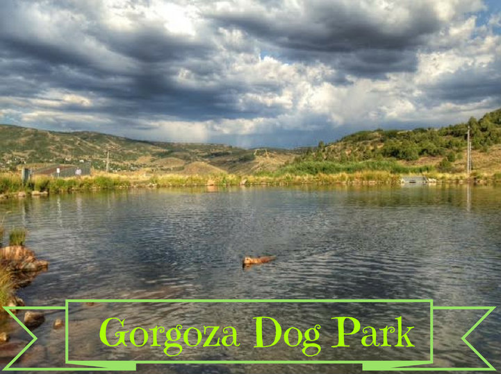
Gorgoza Dog Park is a great place to take your dogs in the summer in Kimball Junction, UT. The reservoir is perfect for throwing your pup water toys. Dogs are allowed off leash here, and as always, dog poop must be picked up. In the Winter time, Gorgoza turns into a Winter sledding hill, and the pond is not available for swimming.

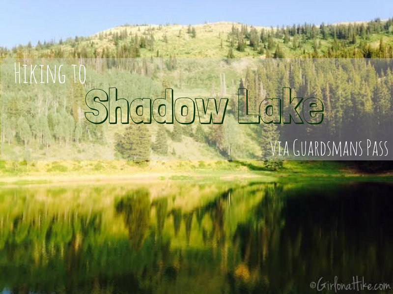
Shadow Lake is located in Park City Mountain Resort (or PCMR as us locals know it), and can be access from the ski resort, or for a shorter route, via Guardsmans Pass. Shadow Lake sits in a bowl-like area, surrounding by pine trees and mountains. This is a popular area for mountain bikers. Hiking to Shadow Lake via Guardsmans Pass will offer a relief from the heat during summer months, and get you out of the valley smog/haze.
Hiking the Red Cloud Trail at Deer Valley Ski Resort is a very scenic hikers-only trail that begins at the Silver Lake Village, at an elevation of 8,100 ft. Many people do not know that anyone can hike at Deer Valley for free! You don't have to be a member or have to have a "friend of a friend" to be able to visit and hike on the mountain during the Summer months. If fact, you can hike to any peak or on any trail, and ride the chair lift down for free. This hike was apart of the free guided monthly Deer Valley History Hike.
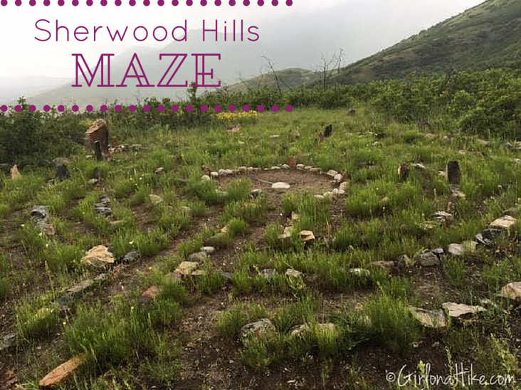
The Sherwood Hills Maze (or Labyrinth) in the foothills of Orem, Utah offers more of a spiritual destination, rather than say, an overlook. This area is not well know, and my friends who live in the area would like to keep it that way. Plus, I really wouldn't recommend this trail to anyone - there is a lot of overgrowth, bushwhacking is required, you have to be very careful about skirting around the private property in the area.
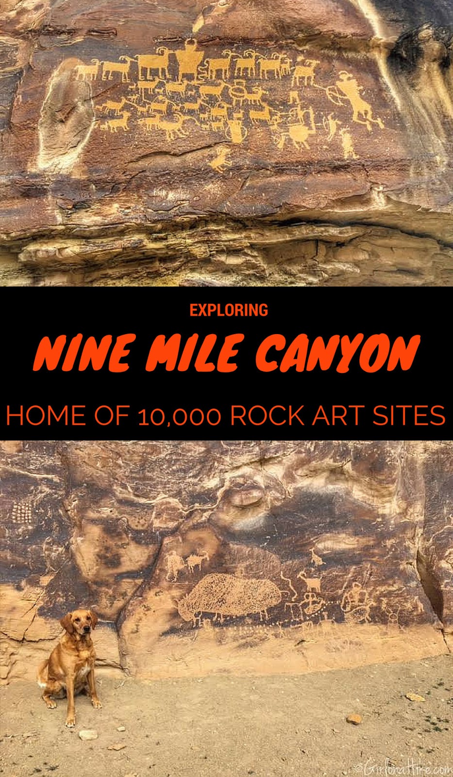
From its name Nine Mile Canyon, you'd imagine that it would literally be nine miles. In reality, Nine Mile Canyon is actually a 70 mile long Backcountry Byway. The BLM believes it derived its name from, when in 1869, John Wesley Powell was exploring the Green River. The expeditions cartographer used a nine mile transect for mapping and the canyon retained that name.
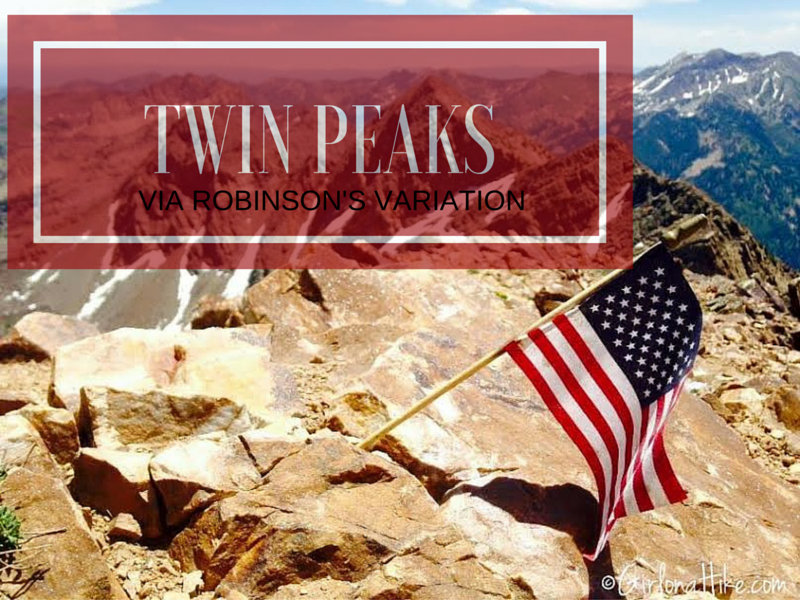
Broads Fork Twin Peaks in Big Cottonwood Canyon via Robinson's Variation is not for the weak nor beginner hiker. It's a tough, long day. If you've done any research on this peak, you've seen several routes that will lead you to the top. My friend who lead us on this hike, had done it other the ways, but wanted to try this route out. I was up for anything! He had heard it was do-able, but steep. Robinson's Variation was also appealing to us because it could be done as a loop hike - up Robinson's, summit, then down the traditional Broad's Fork route.
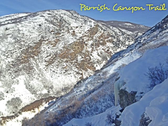
The Parrish Canyon Trail starts along the Wasatch Mountains in Centerville, Utah. Despite its name, the hike actually takes you up the face of the mountain, over a course of several switchbacks, gaining elevation steeply until you have beautiful views of Davis County. This is a nice hike to do in Winter to get out of the inversion and to get the dogs out. If you hike up the actual creek, about 1/2 mile up you will see the Parrish Creek Pictographs. In Winter they are not usually visible due to snow.