GUEST POST by Katie Wanders Katie Wanders follows New England native, Katie, around the globe. Katie swapped her oceans for mountains and moved to Utah for two years to see what "Life Elevated" was all about. Katie Wanders follows trips around the American West, adventures along the coasts, trips abroad, and showcases her love of New England. Currently, you can find her in a 2016 Penske truck with her dog and cat, wandering around National Parks and making her way back to the Atlantic. You can follow all of her adventures on Facebook, Instagram, and Pinterest!
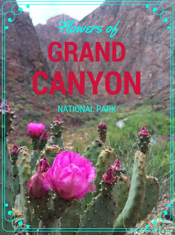
While Backpacking the Bright Angel Trail and Ribbon Falls in Grand Canyon National Park, I was amazed at all the beautiful flowers appearing for Spring along the canyon. Bright pinks, purples, lavender, and yellow flowers appeared everywhere! I couldn't help but stop and take a photo of each type of flower I came across.
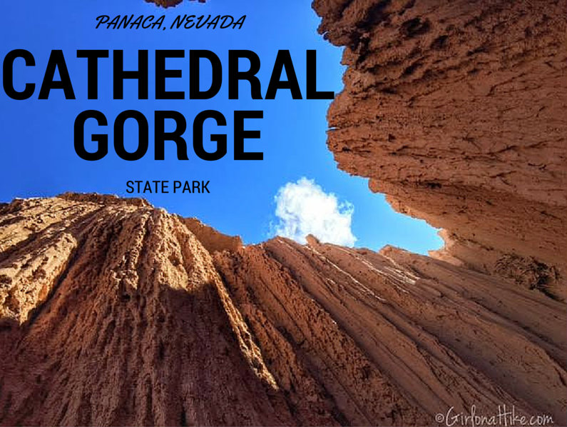 Cathedral Gorge State Park in Panaca, NV is a hidden gem in the heart of the Great Basin Desert. The Great Basin Desert is the largest US desert, which covers an arid expanse of about 190,000 square miles and is bordered by the Sierra Nevada Range to the West, and Rocky Mountains to the East. At the South East corner of Nevada sits Cathedral Gorge State Park, which exposes erosion that has carved unique patterns in the soft bentonite clay.
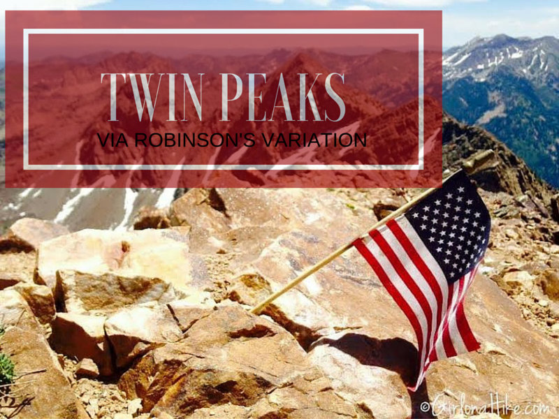
Broads Fork Twin Peaks in Big Cottonwood Canyon via Robinson's Variation is not for the weak nor beginner hiker. It's a tough, long day. If you've done any research on this peak, you've seen several routes that will lead you to the top. My friend who lead us on this hike, had done it other the ways, but wanted to try this route out. I was up for anything! He had heard it was do-able, but steep. Robinson's Variation was also appealing to us because it could be done as a loop hike - up Robinson's, summit, then down the traditional Broad's Fork route.
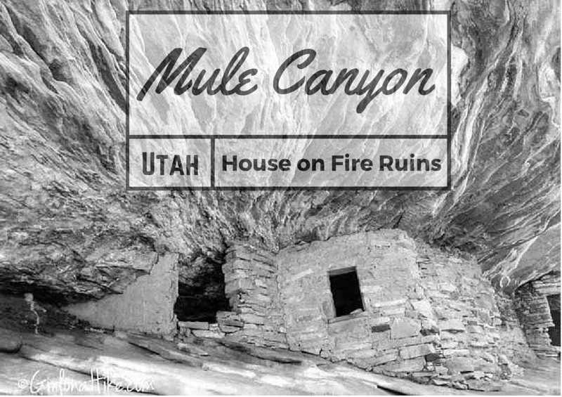
The famous "House on Fire" ruins lie Mule Canyon, in between Natural Bridges National Monument and Blanding, Utah. Southeast Utah is home to the most numerous and varied collection of ruins, spread over a remote area of about 30 X 25 miles. Besides hundreds of ruins, mostly cliff dwellings, the Cedar Mesa area contains many petroglyphs and pictographs, all between 800 - 2000 years old from the Anasazi and Pueblo Indians. Most are found in canyons, where water was easily accessible and conditions were cooler in summer months. All land is public, managed by the BLM, and as of 2016 is protected under the Bears Ears National Monument.
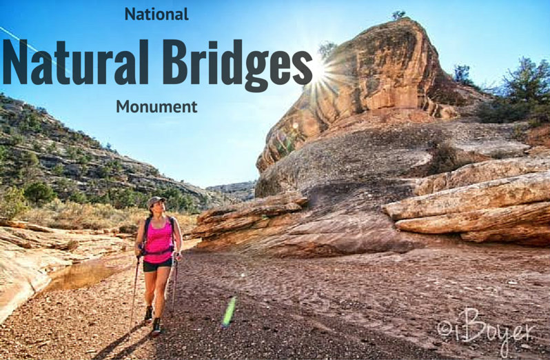
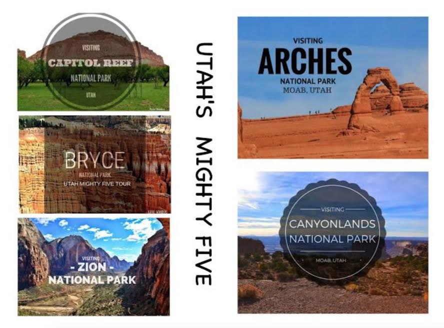
Natural Bridges National Monument covers a small area of SE Utah, and is therefore very remote and not close to any of "Utah's Mighty Five" National parks.
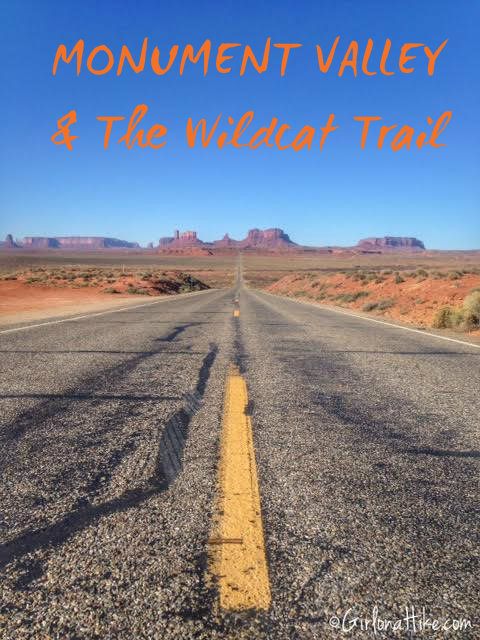
Our first full day in Southeastern Utah, we drove to Arizona to visit Monument Valley Navajo Tribal Park. From our base camp at Goosenecks State Park, it was only a 45 minute drive. When we were planning our trip here, we initially thought we would take a guided tour. Monument Valley & Tribal rules state that you are not allowed to get out of your car on the scenic drive to hike around the famous Mittens or other rock structures, unless you are with a Navajo Guide and/or have a permit. The tours were a little expensive for our budget, so we researched other options in the park and found that there is ONE trail open to the public - The Wildcat Trail.
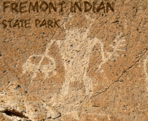
After our visit to Mystic Hot Springs, we drove west down I-70 for another 20 minutes until we reached Fremont Indian State Park. Thousands of years ago this area was home to the largest population of Fremont Indians. Many petroglyphs (engraved rock with symbols) still exists, and the park offers a small trail system to view them. Inside the museum are artifacts, a film, petroglyph tours, hands-on activities for kids, and exhibits that reveal the lives of the Fremont. The park also offers RV and tent camping, you can rent out a Tipi, and there's also access the famous Paiute ATV Trail.


