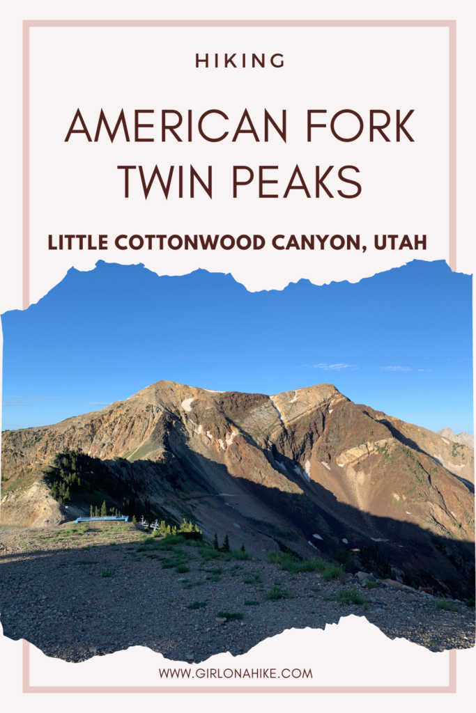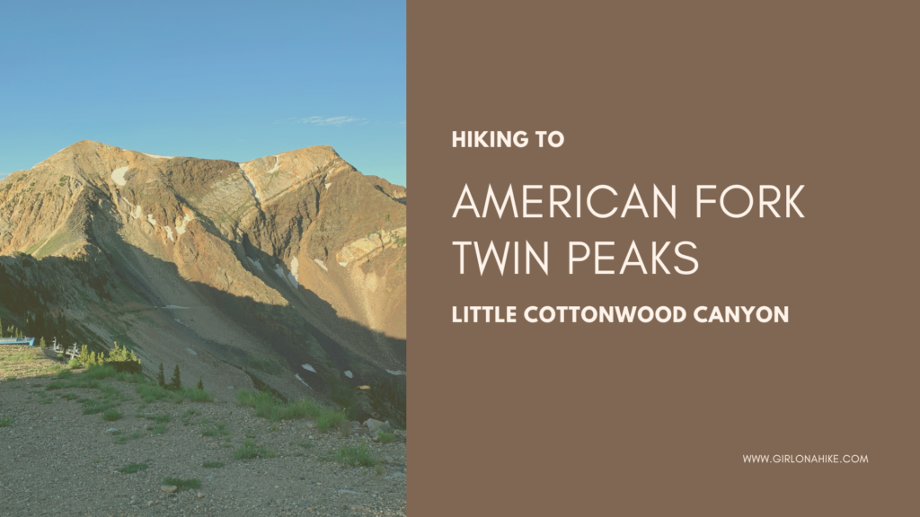
Hiking to the American Fork Twin Peaks (11,490 ft), is not for the beginner hiker. Not to be confused with the other twin peaks in the valley, Broads Fork Twin Peaks and The Avenues Twin Peaks, this route leads hikers across a long knife edge with a very faint trail. Do not attempt this hike if you’ve never crossed a very narrow, rocky ridgeline before – it takes a little route finding, skill, no fear of heights, and requires some light scrambling. Gloves are helpful for this hike, providing extra grip and protection from the sharp rocks.
About
The most popular trail to AF Twin Peaks starts from Snowbird Ski Resort. My friend and I took the “easy” way to the trailhead, which allowed us to take the tram up to the ridgeline and then hike the 1 mile to the first summit. The other (free) route starts from the resort’s base and hiking up to the peak. Starting from the bottom of Snowbird would require about a 4-6 hour hike
(round trip), while taking the tram only requires about a 2-3 hour hike (round trip). Many experienced Peak Baggers may scoff at you for taking the tram up, then hiking to the summit, but being able to cross the knife edge is a feat in itself!
This hike is NOT suited for beginner hikers nor beginner peak baggers. I highly recommend that you have a few summits under your belt (with knife edges) before attempting this route, and you should be comfortable on sheer drop-offs. I also recommend taking a hiking buddy along to help motivate and assist you with the awkward maneuvers needed on some parts of the ridge. If you are looking for an “easy” ridge to climb, I recommend Clayton Peak for a newbie.
Directions
To get to Snowbird from SLC, drive East on I-80, then take I-215 south. Take exit 6 for Wasatch Blvd, and head East/South. Follow this road, past Big Cottonwood Canyon (south past the 7-11). You’ll drive past a few lights, and the road will naturally curve into Little Cottonwood Canyon. Drive up LCC for about 8 miles until you see the sign for the Snowbird Aerial Tram. After you park, continue following signs as you walk towards the ticket office and take the tram up to the ridge. Restrooms, food, water, and emergency services are available at the Tram Lodge. Here is a driving map.
Trail Info
Distance: 2.2 miles (RT)
Elevation gain: 960 ft
Time: 2-3 hours
Dog friendly? No, LCC is part of the watershed, so dogs are not allowed in any part of the canyon.
Kid friendly? No
Fees/Permits: If you take the Snowbird tram, each ticket is $20; no permit is needed (keep an eye out for 2 for one coupons online).
Hiking American Fork Twin Peaks: What To Expect
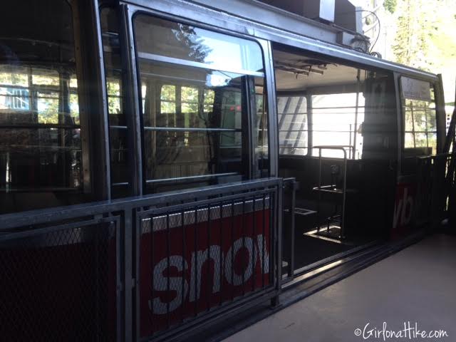
Loading into the Snowbird Tram at around 4:30 pm – only 3 of us on the tram on a Thursday afternoon!
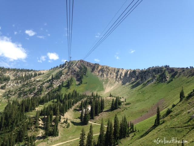
Riding up and over Snowbird.
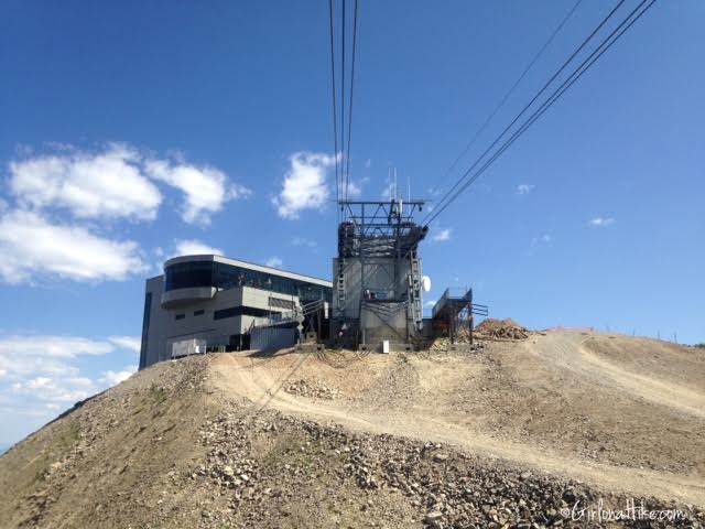
Arriving at the Tram and Lodge on the ridgeline.
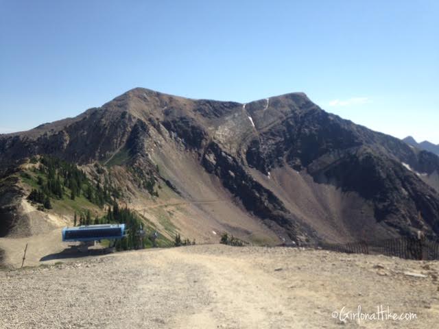
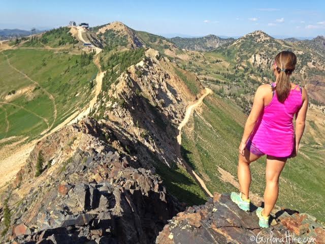
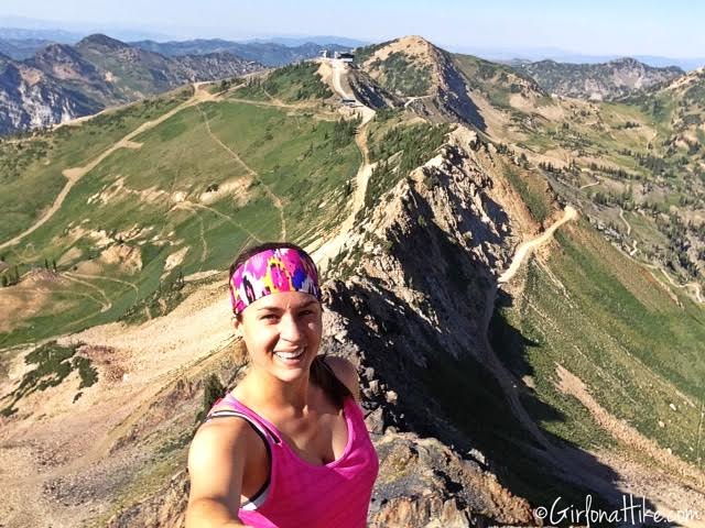
Our first view of American Fork Twin Peaks! Once you get off the tram, continue straight down the steep dirt road past the ski lift.
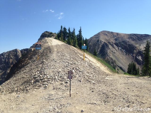
At the small hill, hike up past all three of these signs.
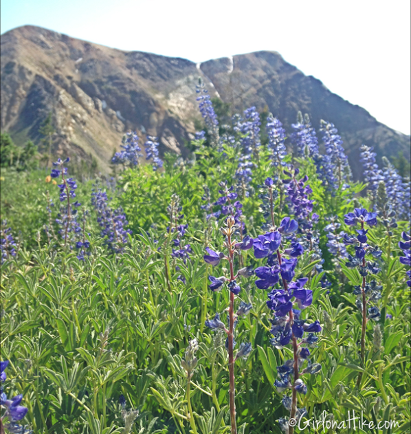
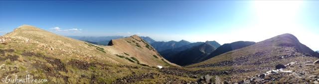
July is a perfect time to summit, as the wildflowers are still in full bloom.
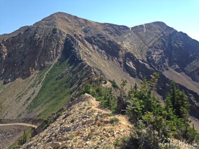
Starting out, there is a faint trail on the ridge for the first 100 yards.
Start of the Ridge
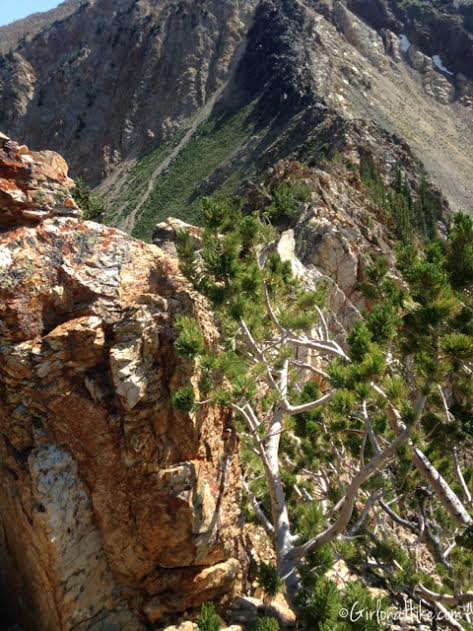
The first obstacle – scrambling over or around boulders with trees blocking the way.
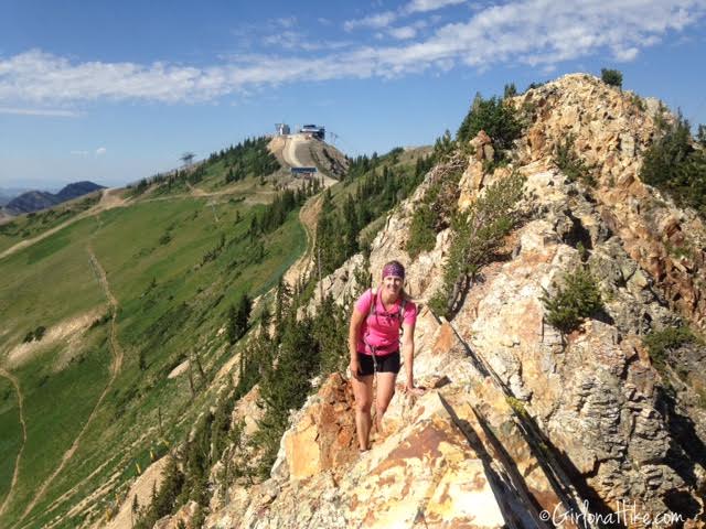
Nicole works her way across the ridge. This is looking back to where we started at the lodge.
At the narrowest, the knife edge is only about 1 foot wide.
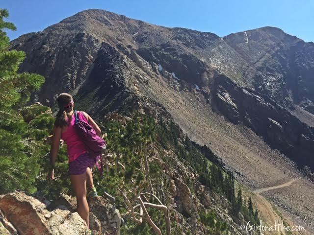
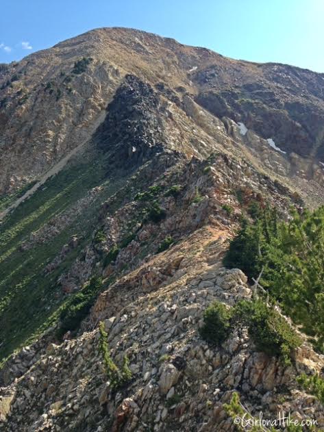
Skirting my way around the trees to get to the next boulder. There are three main sections of the trail, as I will be referring to. The white rocks (1st section), black rocks (2nd section), and the summit trail (3rd section). The 1st section is the hardest with the most awkward and hard-to-maneuver scrambles. From this point, you can clearly see the black rocks. It looks much steeper than where you are currently hiking, but trust me, ridges and summits always look worse than they actually are. If you feel shaky or scared, just take it slow across this 1st section (white rocks). I never look down – I always keep my focus on my hands and feet.
Finally, past the 1st section, and now amid the black rocks. You’ll see some faint trails and footprints going in every direction, but I highly recommend that you stay as close to the ridge as possible. Every time you start you head down, you’ll have to hike back up – conserve your energy and stay as high as possible.
#Selfie after completing section 2!
Steep Climb to the Summit
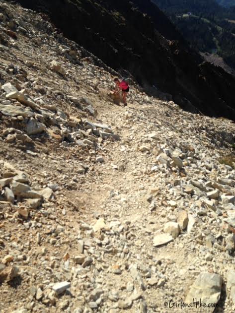
Section 3 (summit trail) has loose rock. You’ll want to make sure you wear shoes with excellent tread. Nicole’s shoes were worn down, so she needed help from side rocks to get up this part.
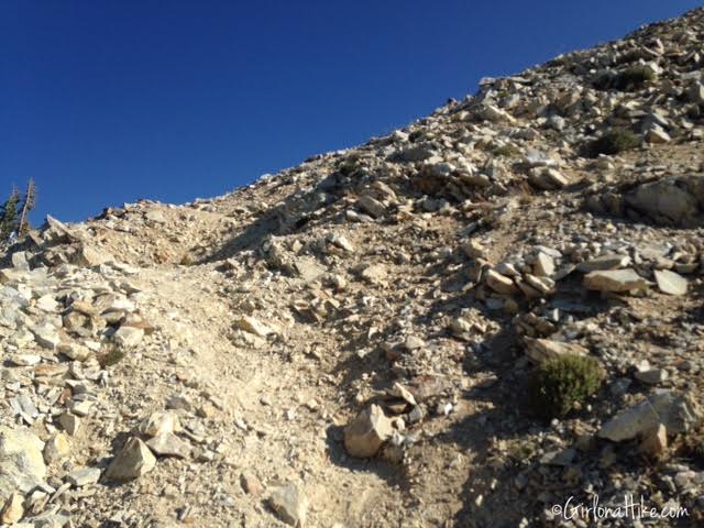
Working our way up the summit trail – steep, loose rock at every corner. It wasn’t so steep that I couldn’t stand up straight, though – just be careful where you step so you don’t slip.
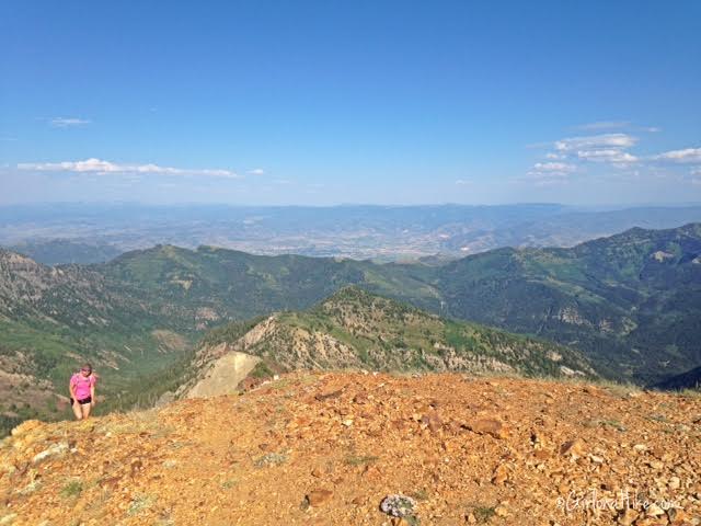
We made it to the 1st twin peak summit in 1 hour. This is looking East towards Heber City, UT.
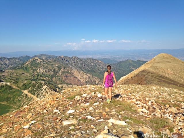
You can’t summit one peak without the other and call it Twin Peaks! Hiking to the next peak is a mere 5-10 minute walk. No more scrambling or boulder hopping here!
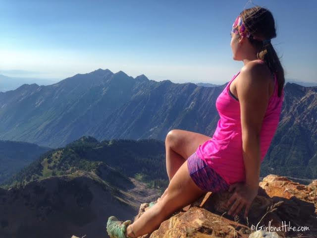
At the 2nd American Fork Twin Peak, just to the West. The ridge in the distance is the northern side of the Little Cottonwood Canyon ridgeline, and you have excellent views of Mt. Superior & Monte Cristo, as well as the Broads Fork Twin Peaks.
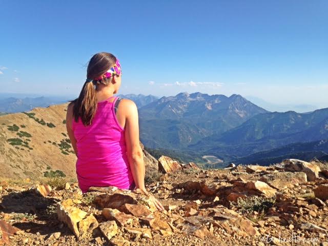
Looking to the South from American Fork Twin Peaks. The large, dry lake you see is the Silver Lake Reservoir in American Fork Canyon.
Head back the same way you came. If you have time, hike to some of the surrounding peaks to get more awesome views. If you hike this after work, remember that the last tram leaves the ridge at 8 pm, so plan accordingly.
Trail Map

Save me on Pinterest!