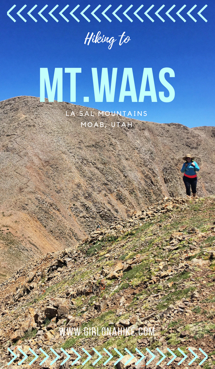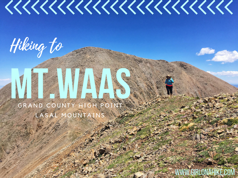

Mt. Waas (12,331 ft) is the Grand County High Point, and highest peak on the north end of the La Sal Mountains near Moab, Utah. The La Sals can be seen as far away from Green River and parts of Colorado, yet hardly anyone makes the trek to the several summits available, making a great place to seek solitude. The Moab valley can be in the 100s for daily high temperatures in the Summer, yet in the LaSals, it can be at least 20-30F cooler depending on how high you reach. The La Sals area only accessible during summer months when the gates are open, and the roads are dry and clear of snow, typically July – October. Winter of 2017 was extremely dry so we were able to summit late June 2018 with only one patch of snow.
Directions
From Moab you need to get on the LaSal Scenic Road, which is a point-to-point road. I highly recommend driving the whole route – up one way, back down the other after hiking, so you can see the whole thing. It’s a really pretty drive. The scenic road is paved – all other roads are dirt.
From Moab (North), use this driving map.
From Moab (South), use this driving map.
4×4 vehicles are required.
Trail Info
Distance: 8 miles RT
Elevation gain: 2,700 ft
Time: 4-8 hours
Dog friendly? Yes, off leash
Kid friendly? Maybe for older kids – depends on their peak bagging experience
Fees/Permits? None
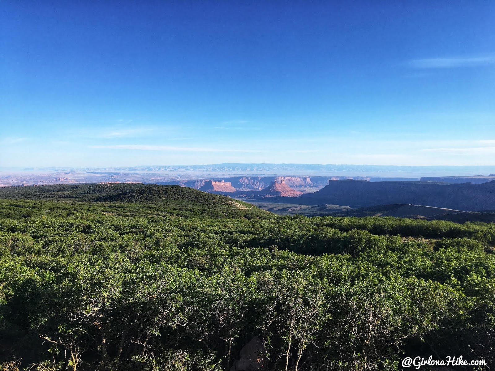
LaSal Scenic Loop Road – Castle Valley Overlook.
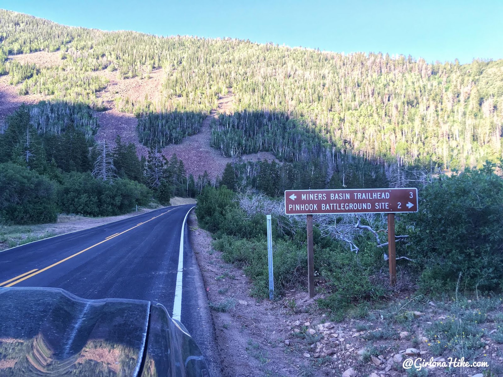
Turn at the signed Miner’s Basin TH (it is not signed if coming from the south – we had to turn around after missing the turn off initially).
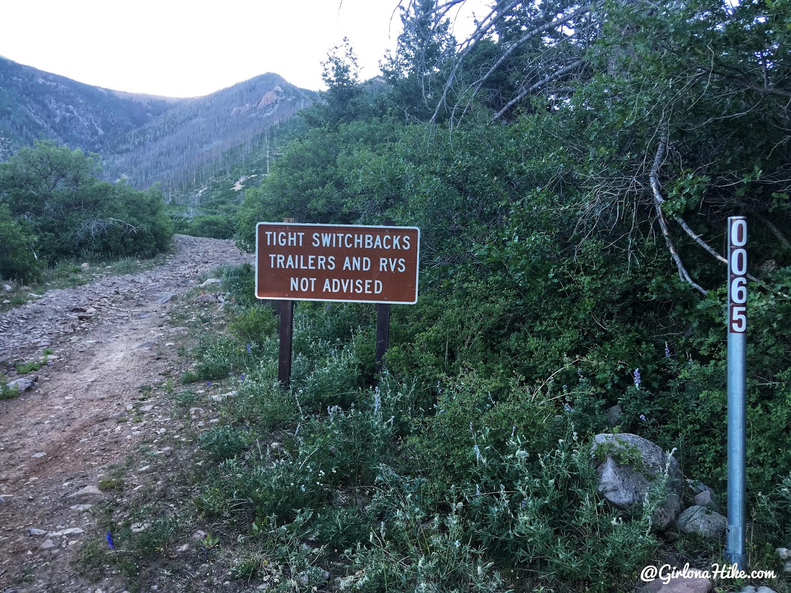
Take FR 065 – you WILL need a 4×4 car to reach the TH. I would not advise that even mini-SUVs drive this. Only trucks and a 4Runner were driving along this road. There are also very few pull outs – so cross your fingers no one is coming the opposite way! The car more downhill is the one that needs to move – the upper car has the right of way.
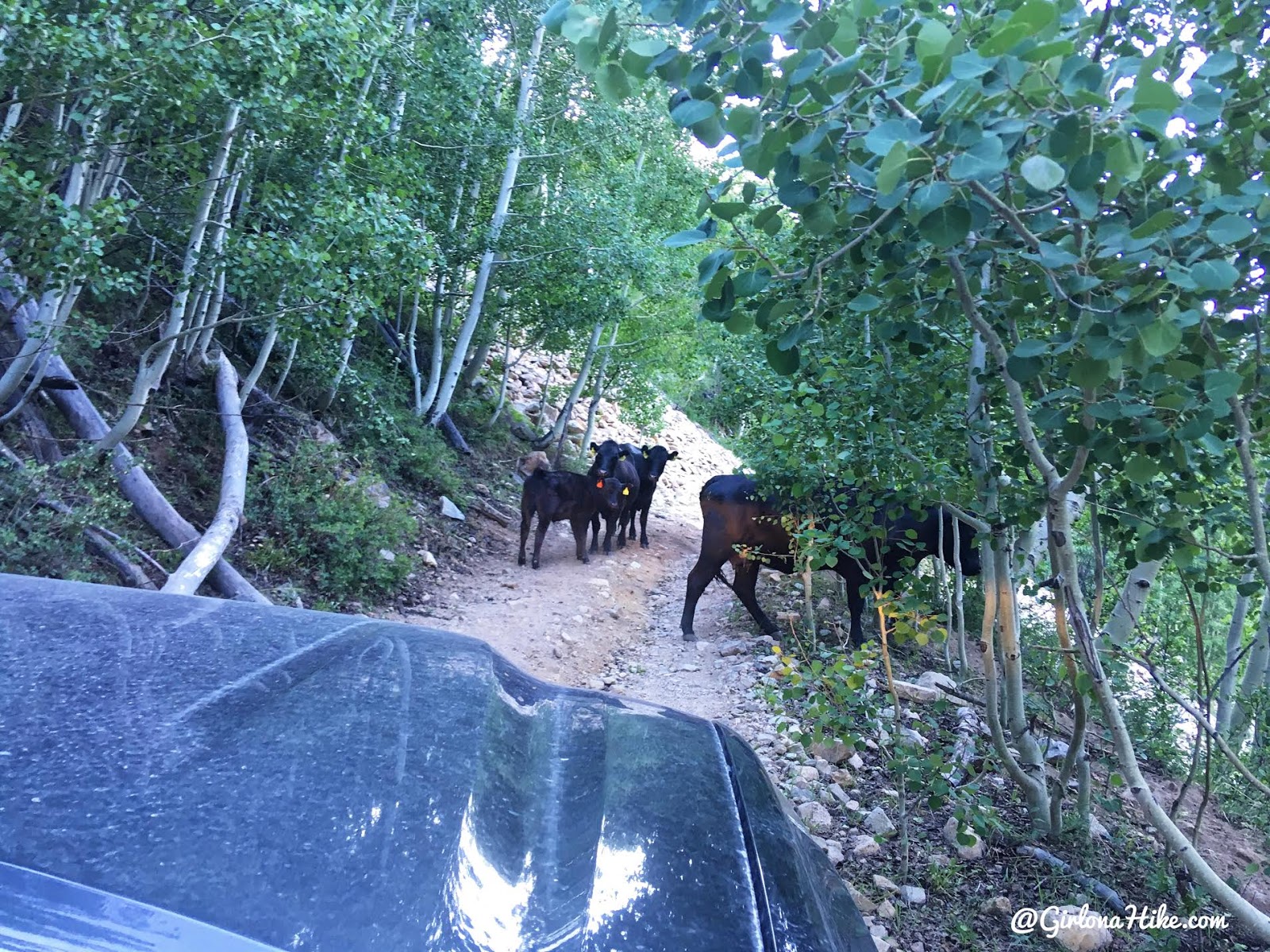
You’ll even need to moooove out of the way for cows.
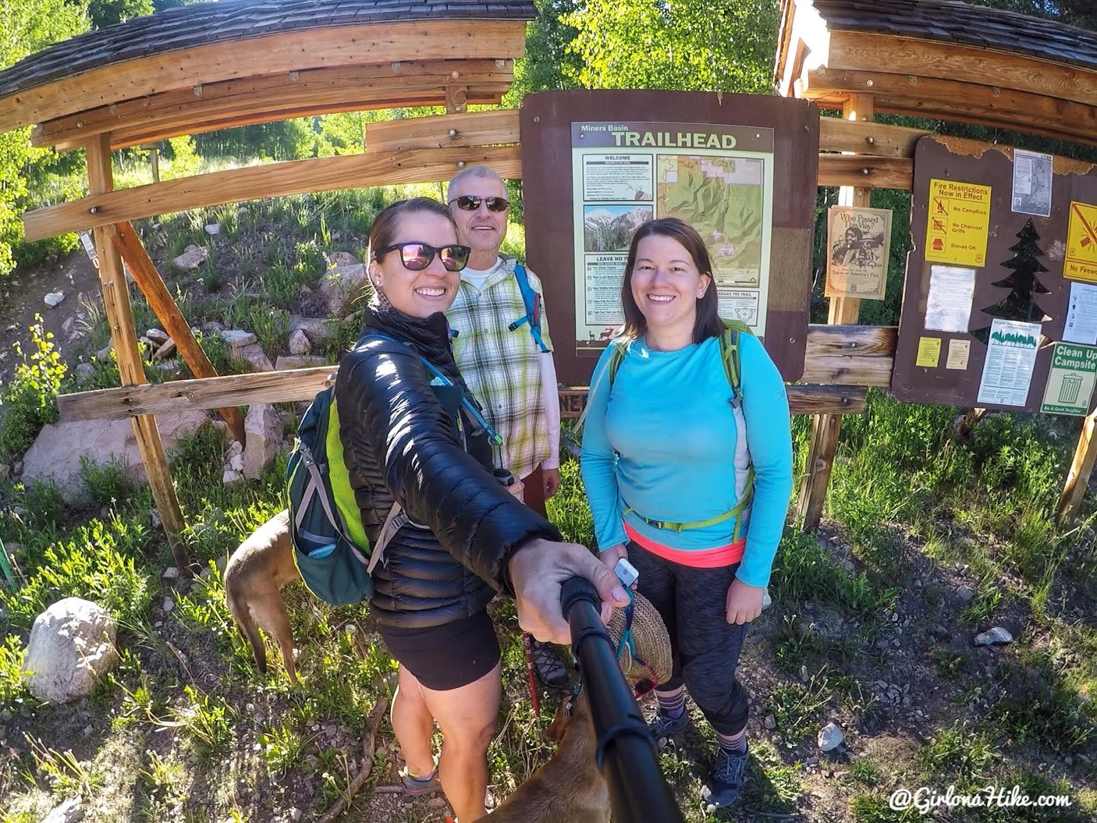
Ready to hike by 8am!
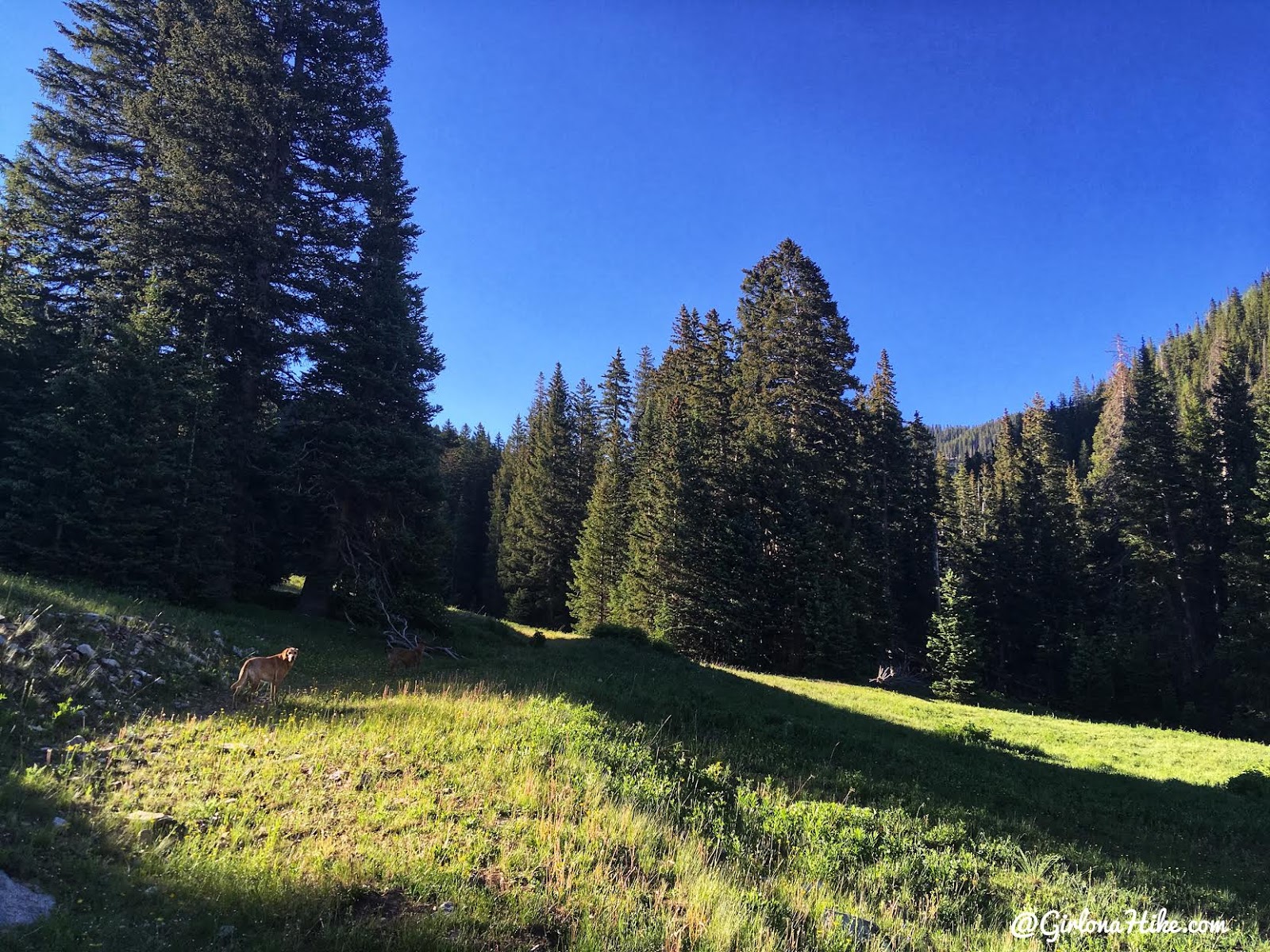
For a bulk of the hike, you are hiking on an old jeep/mining road.
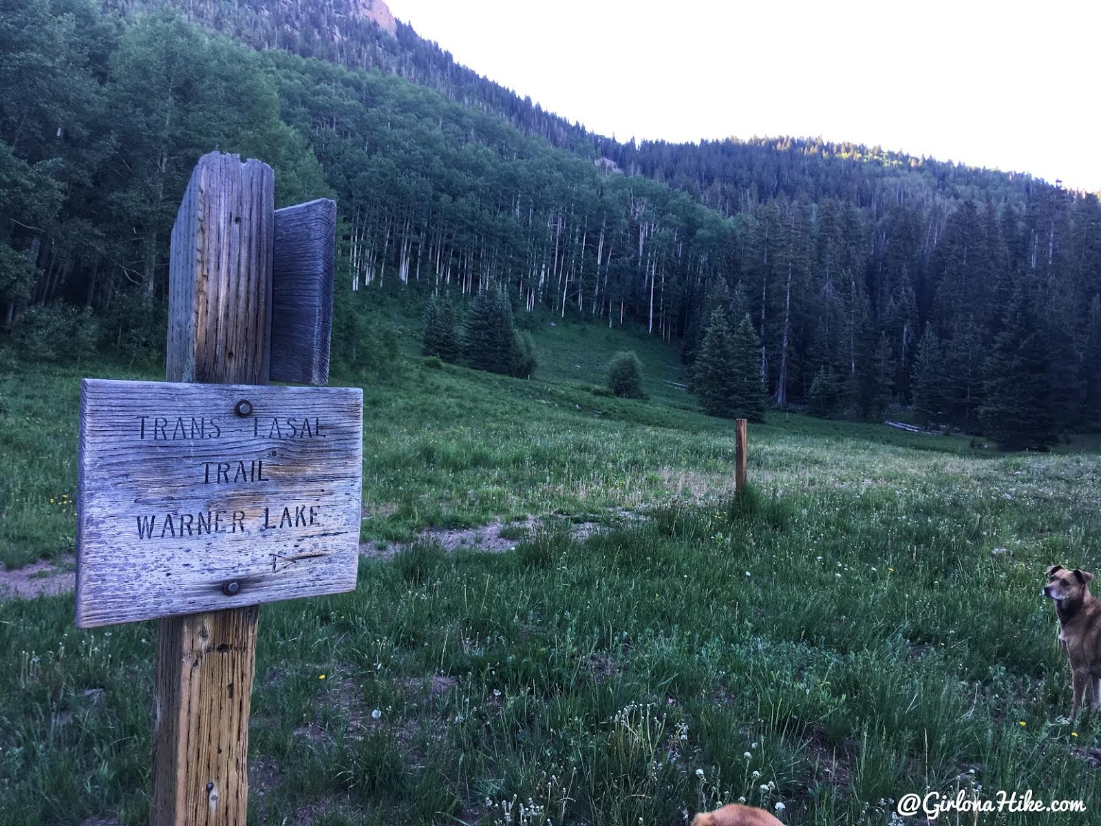
First trail split, go right. You’ll quickly cross a stream.
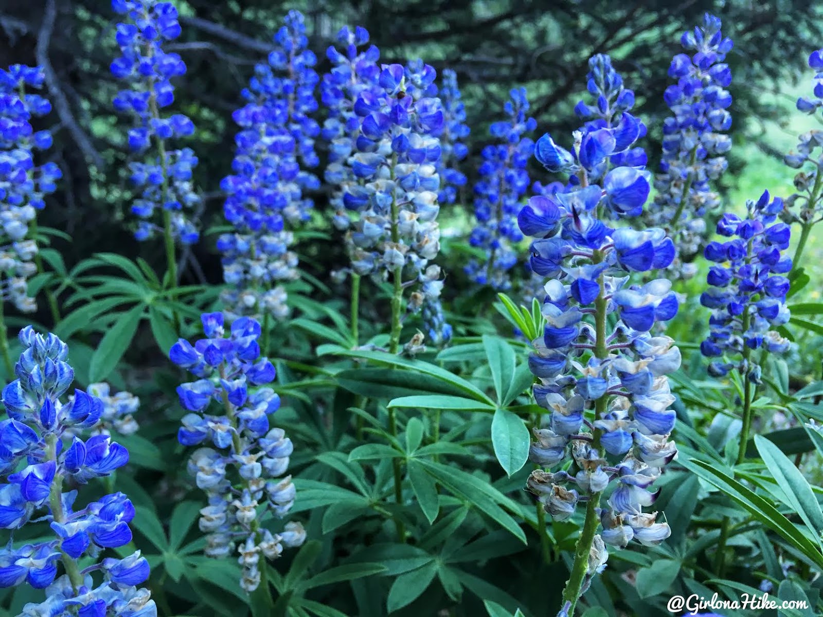
I think these beautiful flowers are Utah Blue Delphinium.
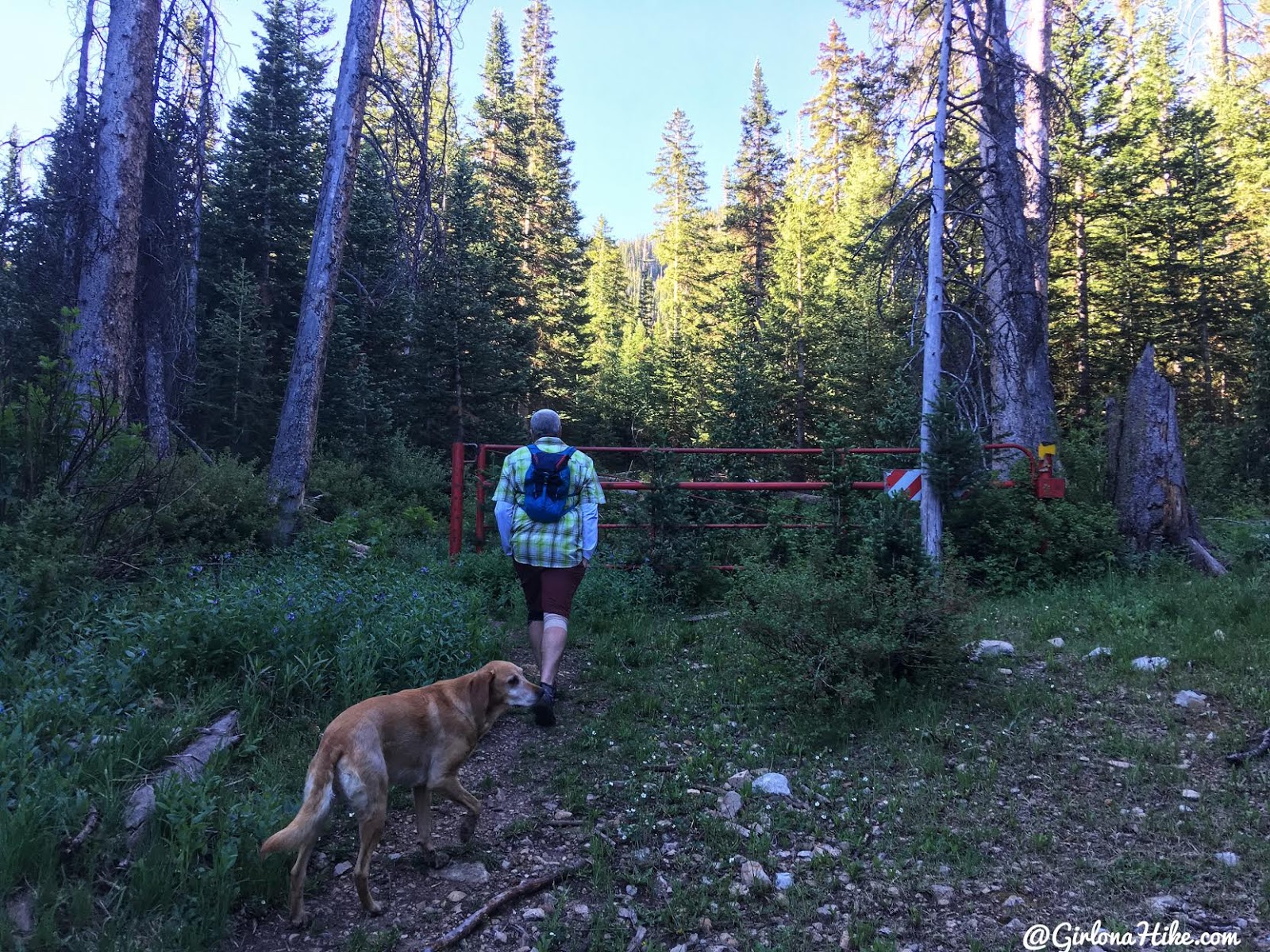
Pass a red gate within 15 minutes of hiking. About another 10 minutes past this gate (0.8 miles from the TH), you’ll see a junction with no trail split signs – go left. Make sure you are following another old jeep road and hiking uphill.
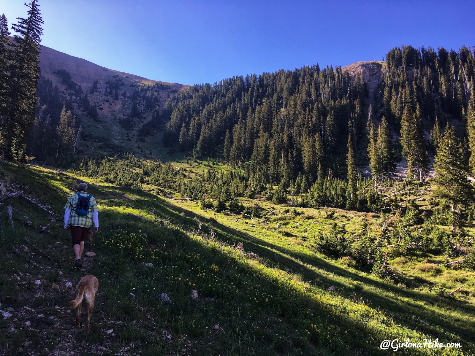
You should be hiking East, and now steadily gaining elevation.
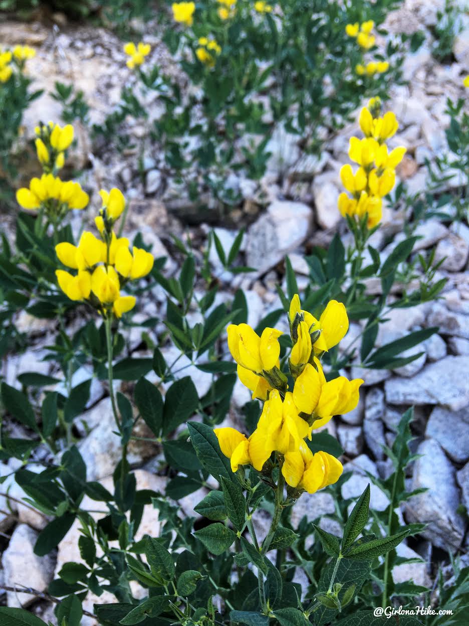
I think these flowers are called Golden Banner.
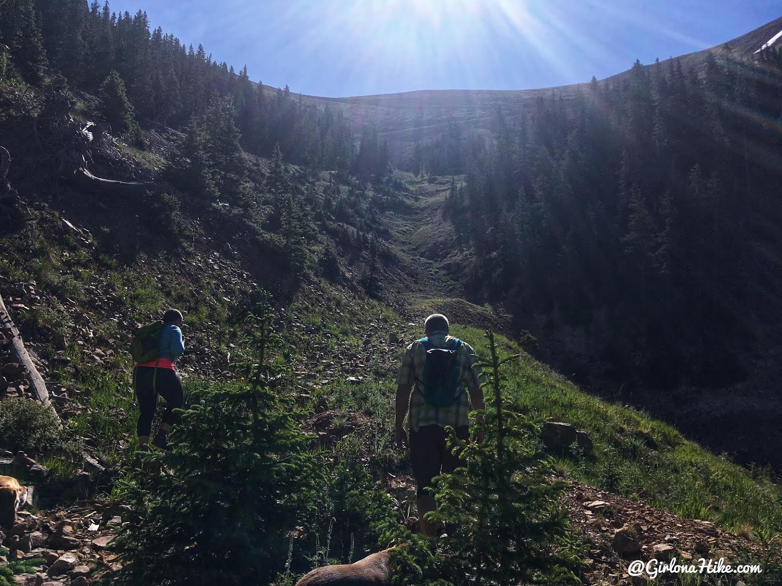
At 1.4 miles you’ll reach your first switchback. From here, the next 1.5 miles are switchbacks all the way up to the ridge that you can see here.
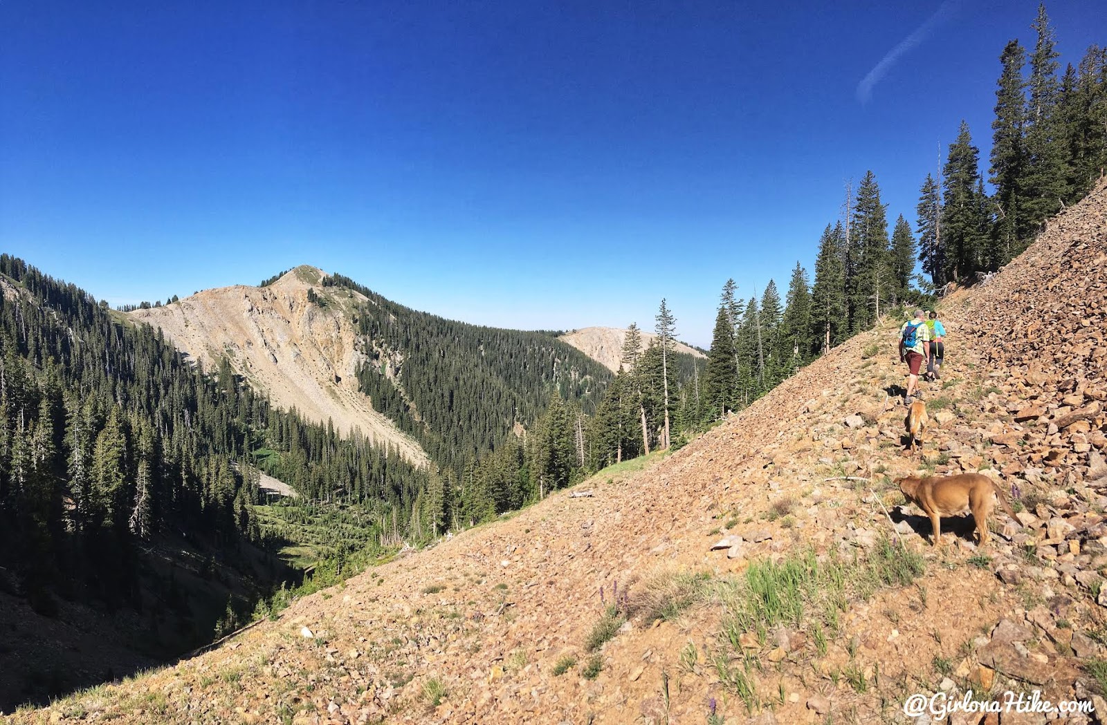
Climbing higher and higher…
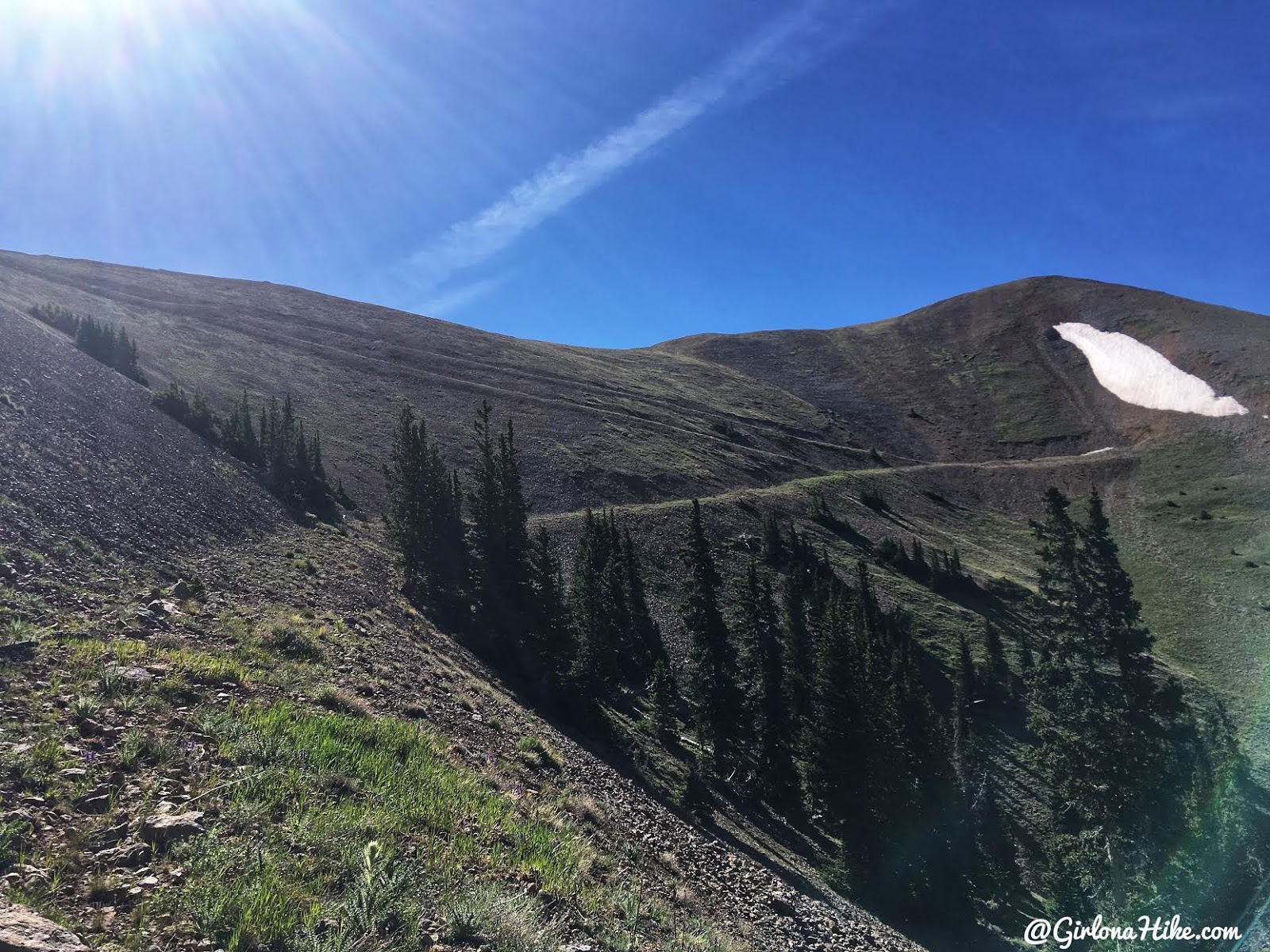
The nice thing is, you can always see where the trail will go, up to the saddle.
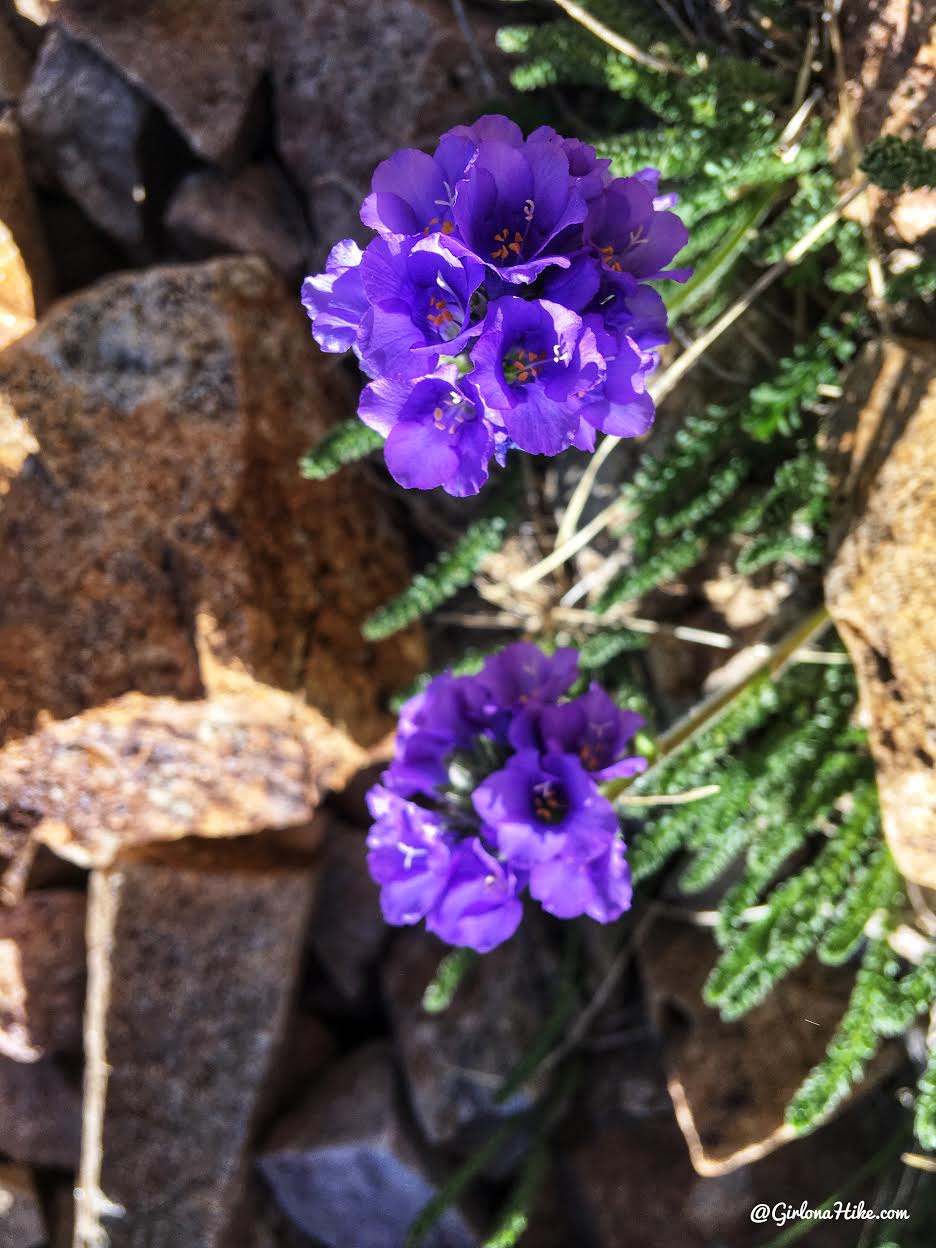
Anyone know the name of this flower?
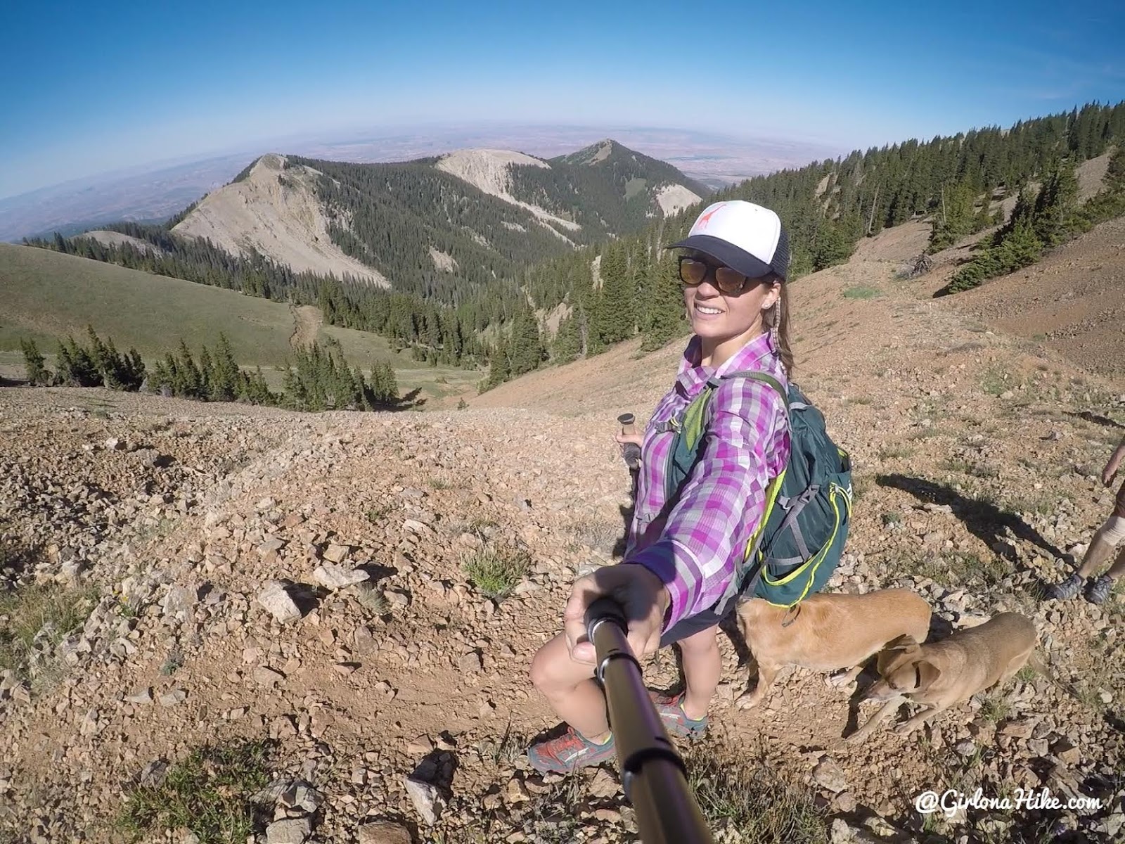
Whew, getting tired but still working hard. What a view to the NW! Moab is waaaay down there.
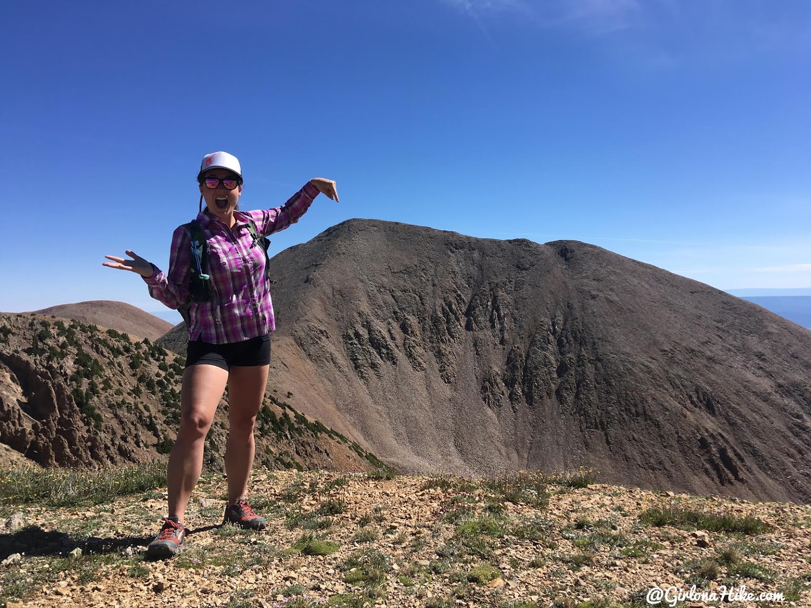
“We’re going here?!”
At 3.0 miles you’ll finally reach the saddle and have your first view of Mt. Waas! It looks really far away and super steep, but from the saddle its only about 0.8 miles and a net elevation gain of 350 ft. From the saddle, continue left.
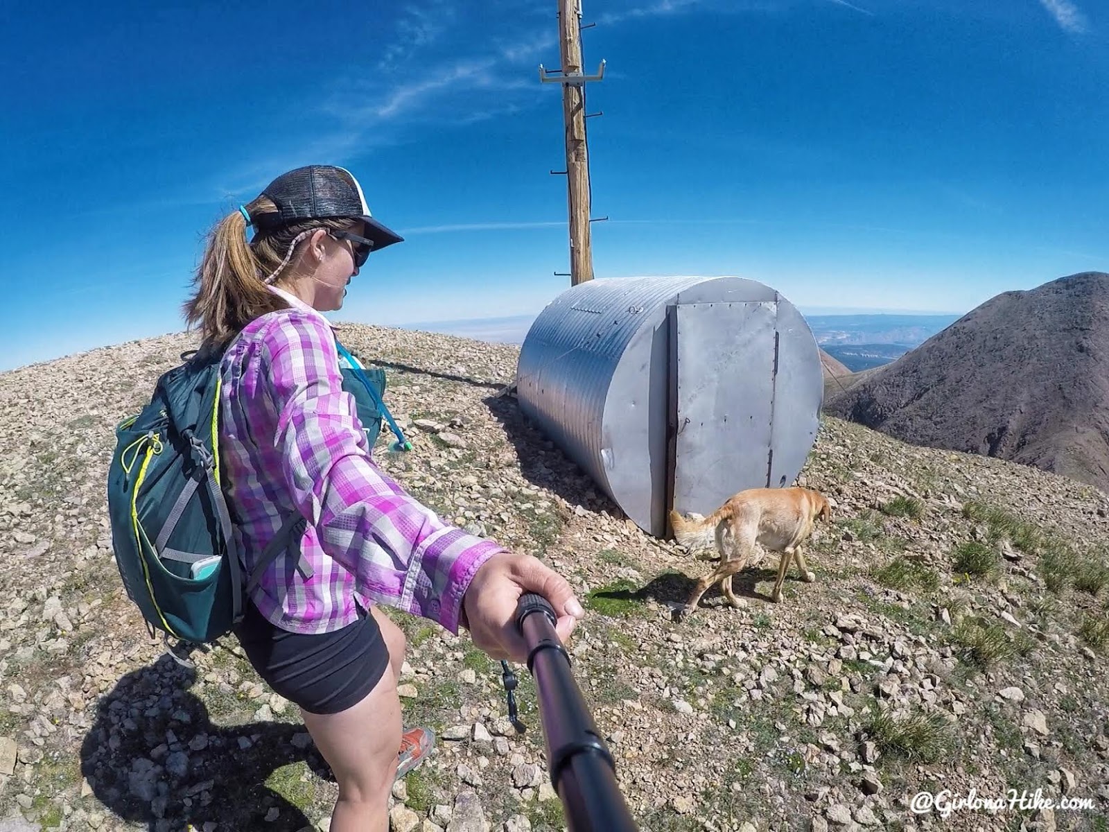
Pass the old weather station.
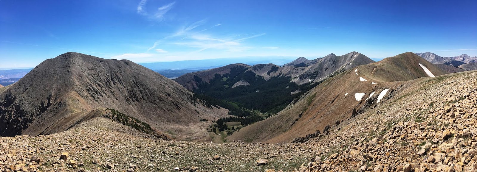
Pano from the weather station – we’re hiking to the peak on the left. The basin below is called Beaver Basin. You can also access Mt. Waas from this side, and drive up pretty close, however there is no trail. You would just need to pick your own route to the saddle, then catch the trail to the summit.
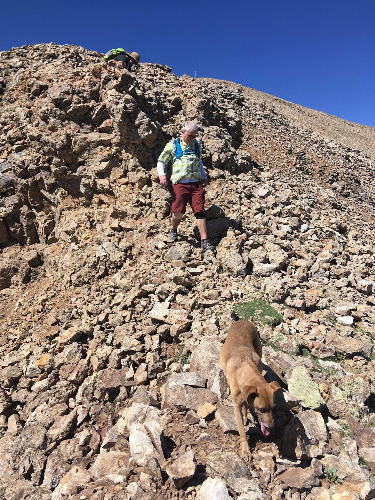
The only rocky area you have to climb down on the ridge, after the weather station.
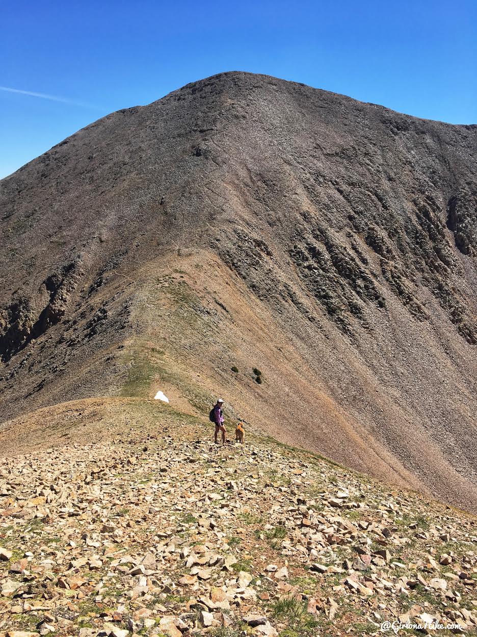
Charlie and I make our way down to the 2nd saddle. The view from here of the trail to the saddle looks really intimidating. In my opinion, ridges or steepness always look way worse than they actually are. But keep in mind I have done a lot of peaks, and am more comfortable with these parts of the trail. Whereas my friends who hiked with me haven’t done nearly as many peaks, and were a little more worried and slow. Just keep in mind that there’s no rush to summit (unless you are trying to get a PR or something). Take your time, take as many breaks as you need, and you’ll make it.
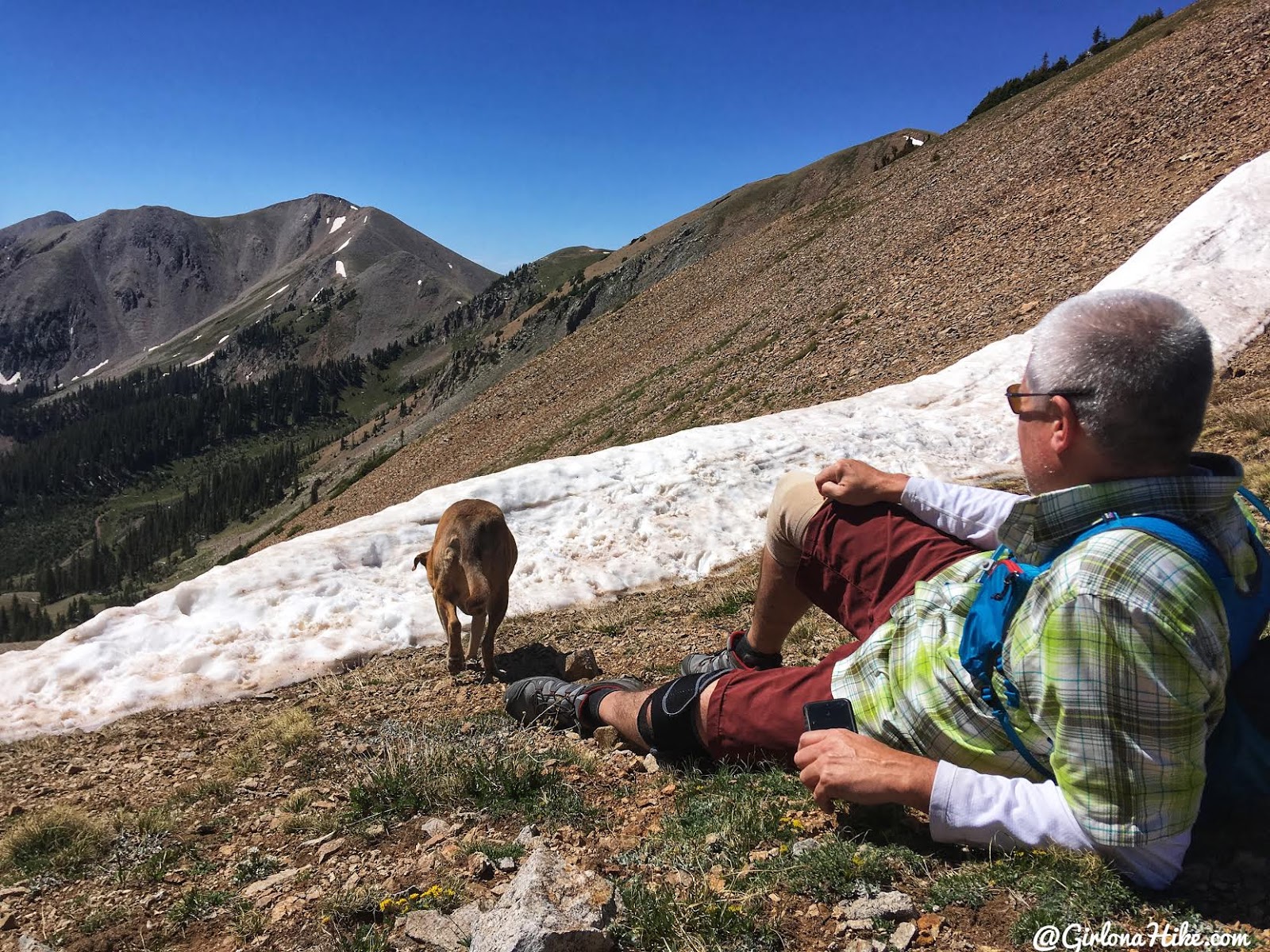
After hiking down from the weather station, we took a break at the 2nd saddle before making the last climb to the summit. The dogs enjoyed a break in the snow.
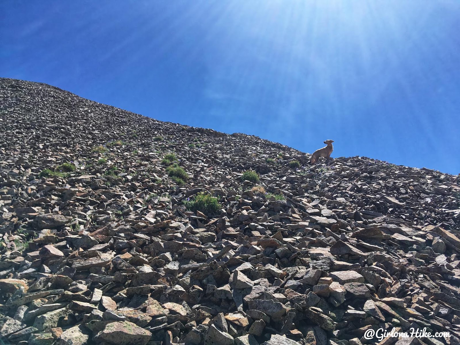
Now begins the fun. Charlie leads the way.
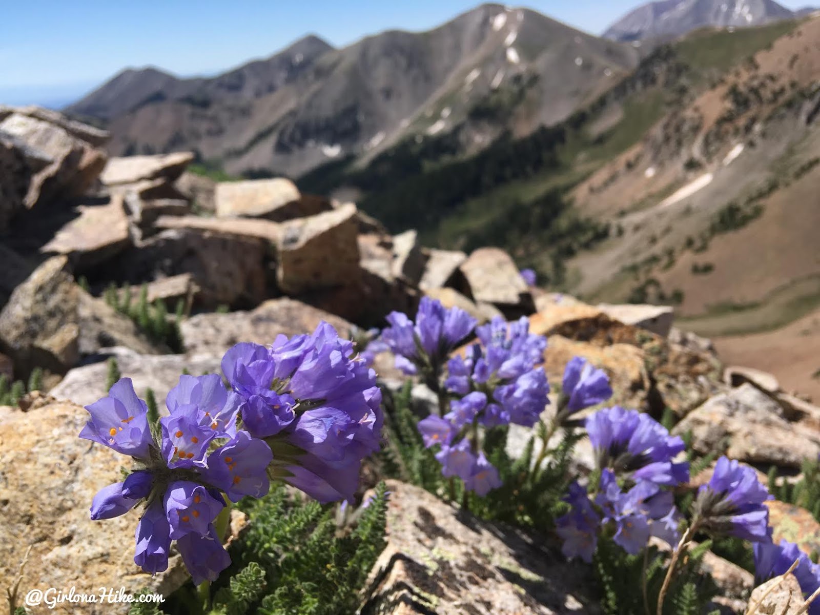
More amazing flowers on the ridge to the summit. I think this is one of my favorite photos from the hike.
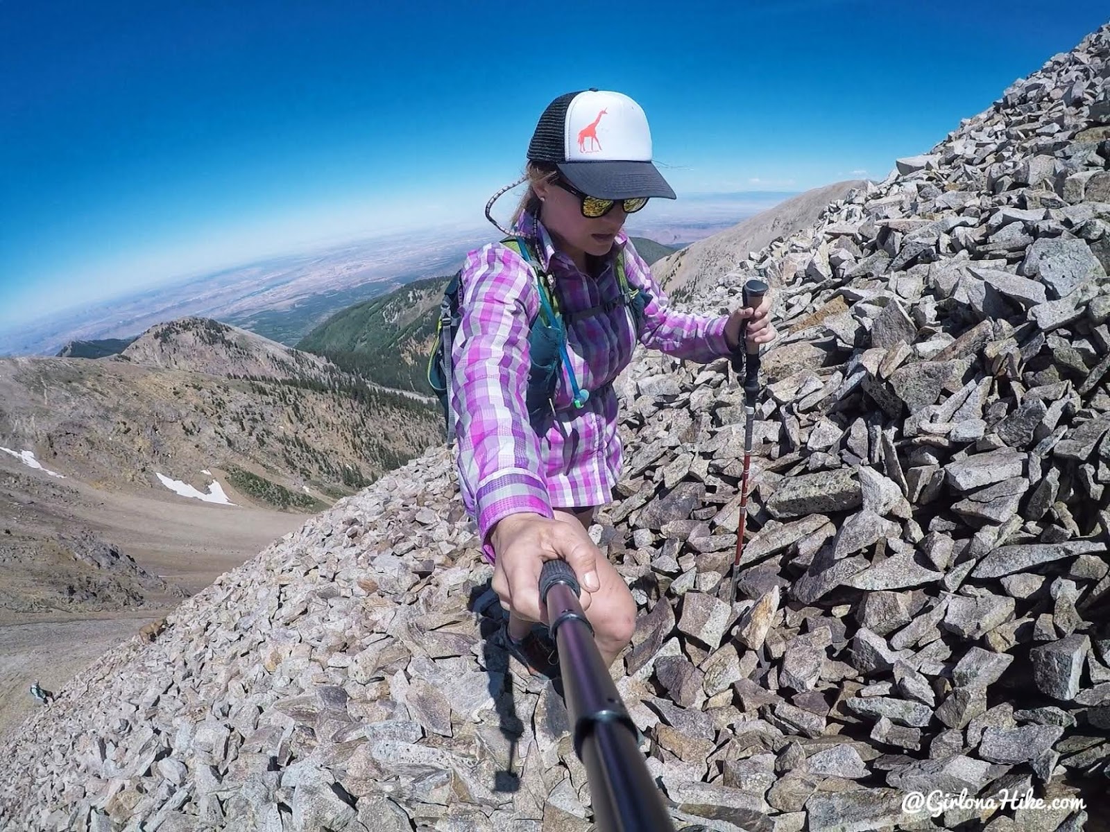
Almost there…
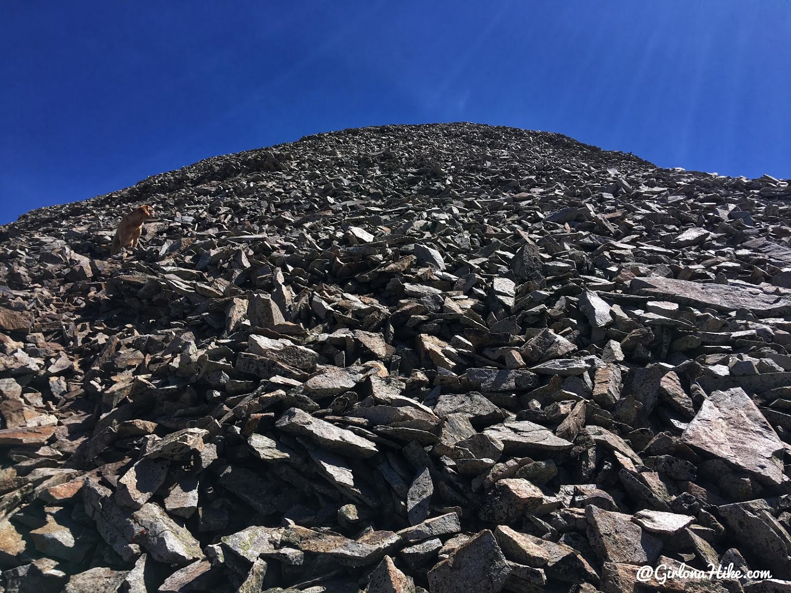
Can you find Charlie?!
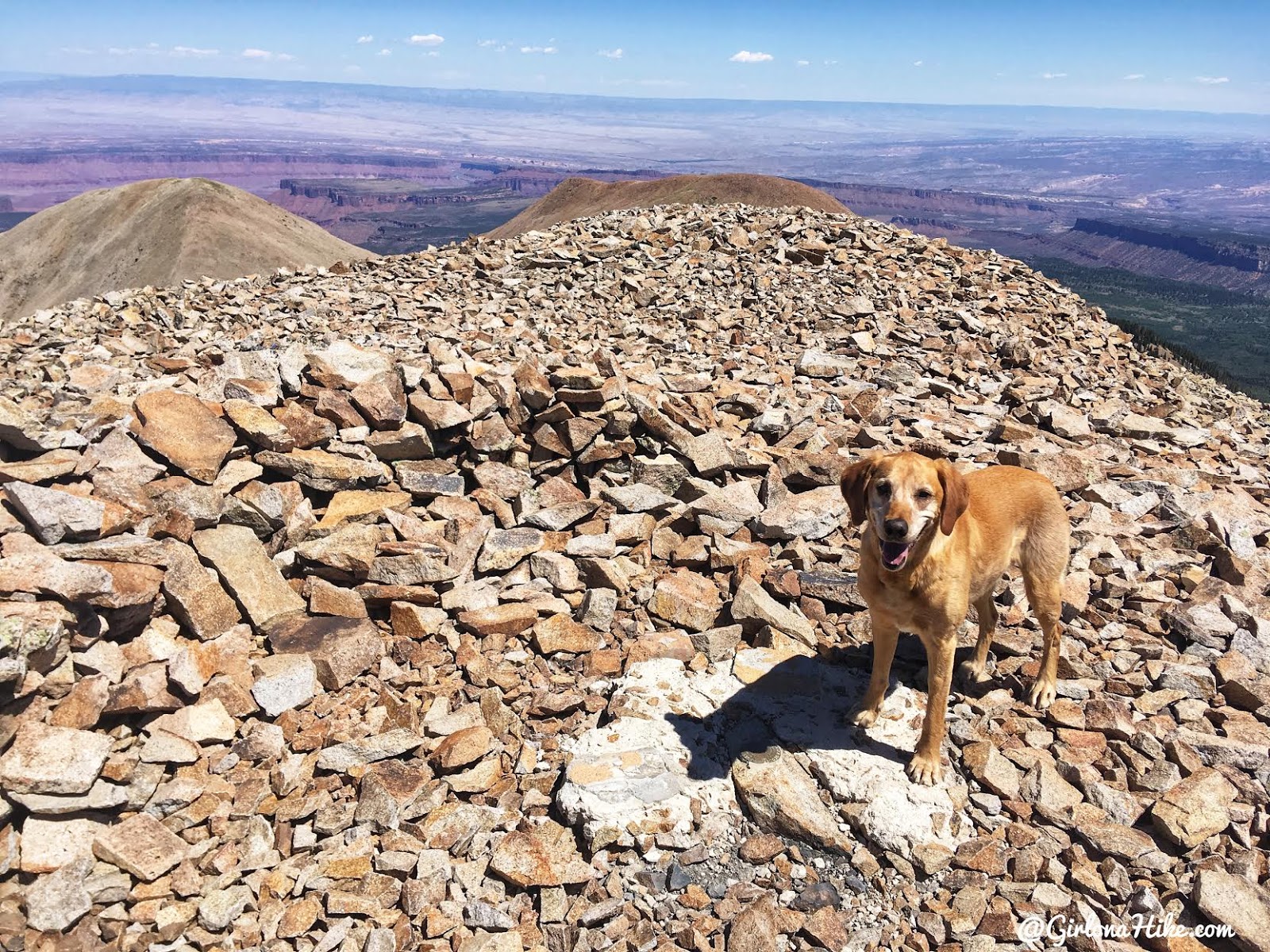
On the summit! It took me and Charlie 3.5 hours. What a happy pup! He seems to know he is on the summit.
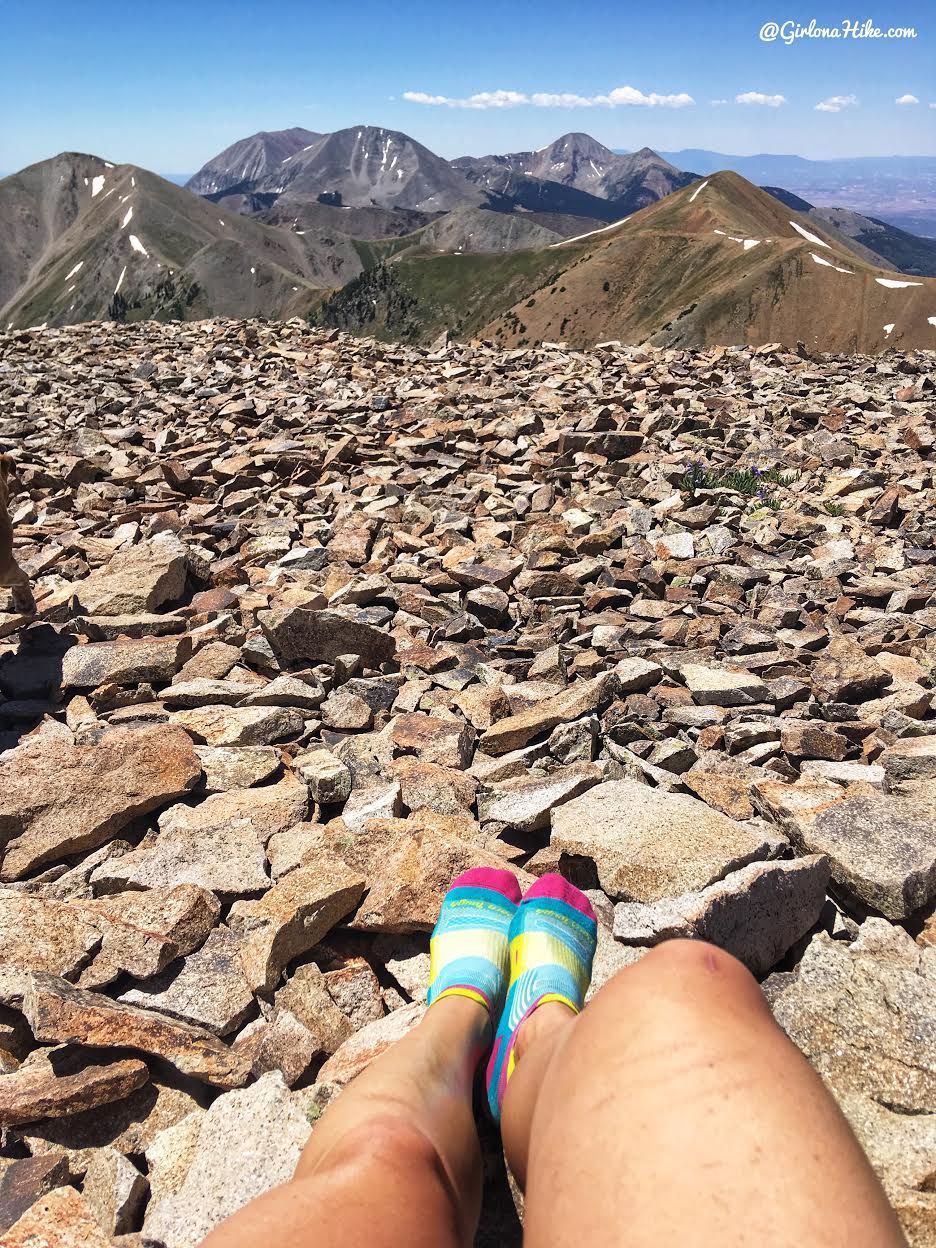
I like taking my shoes off on the top to let me feet dry out and give them a break. I think this should be a commercial for the Darn Tough women socks! This view is looking directly south.
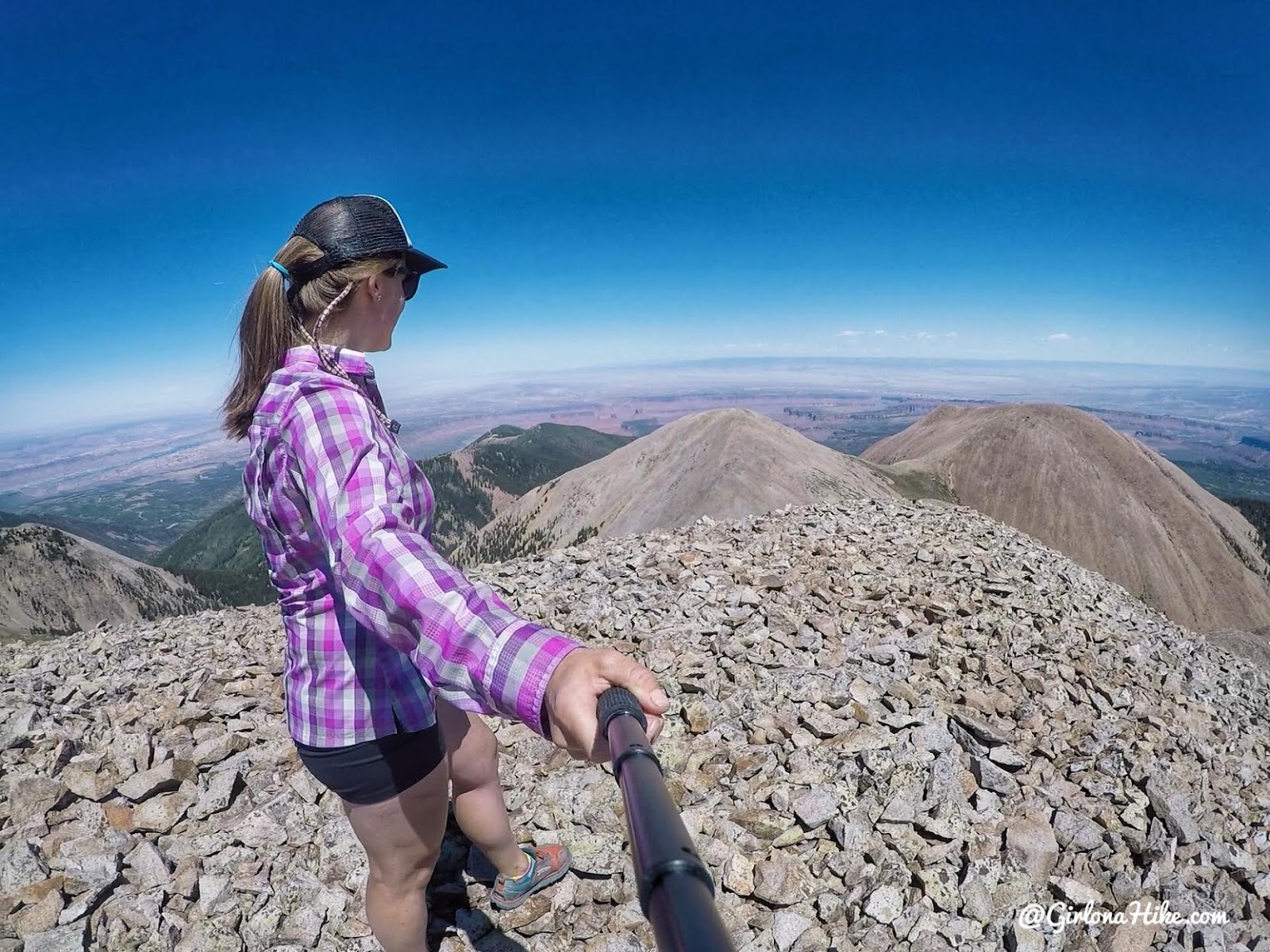
View looking North. You can’t see it in the photo but you can see down to Castle Valley, the Colorado River, and Moab.
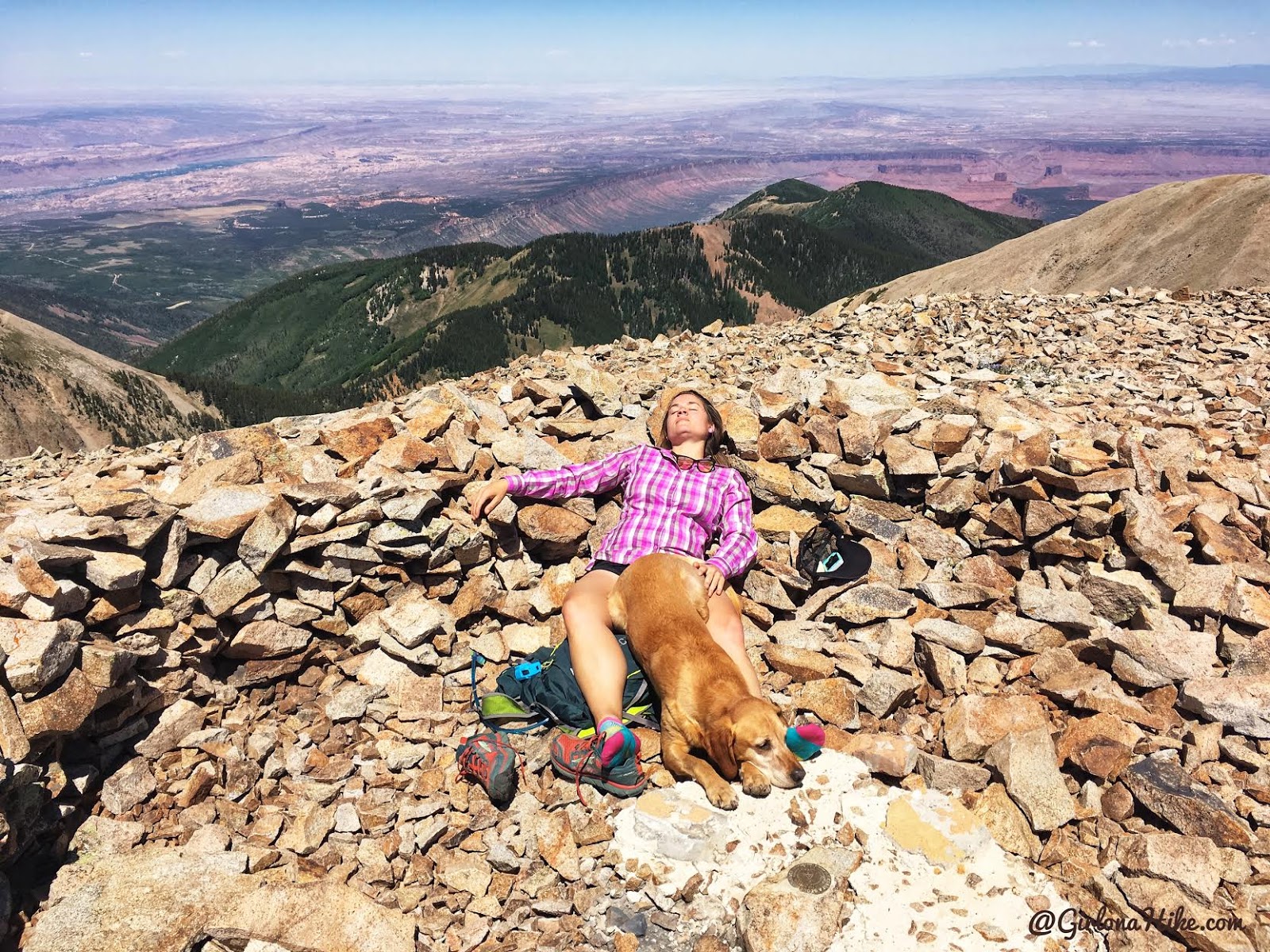
The “what really happens on a peak” photo. Caught in the act of napping! Haha!
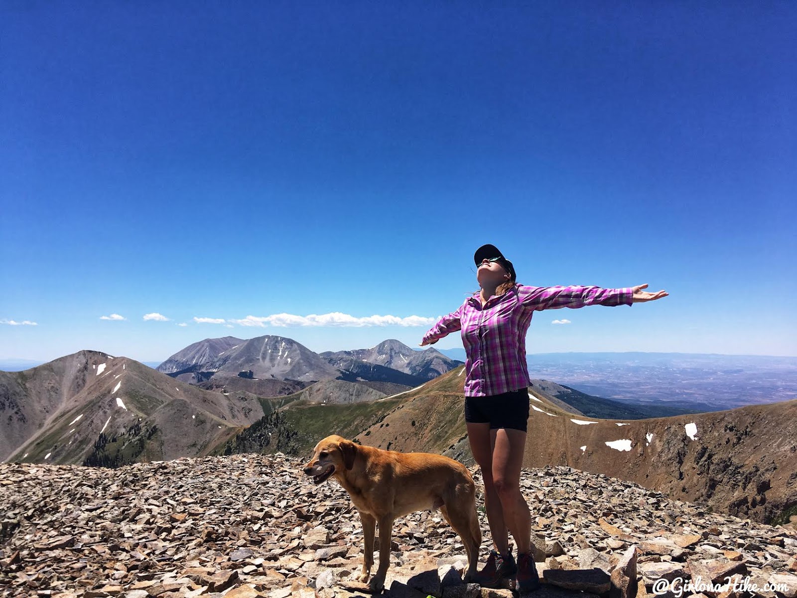
Alright fine, I will wake up and take in the views!
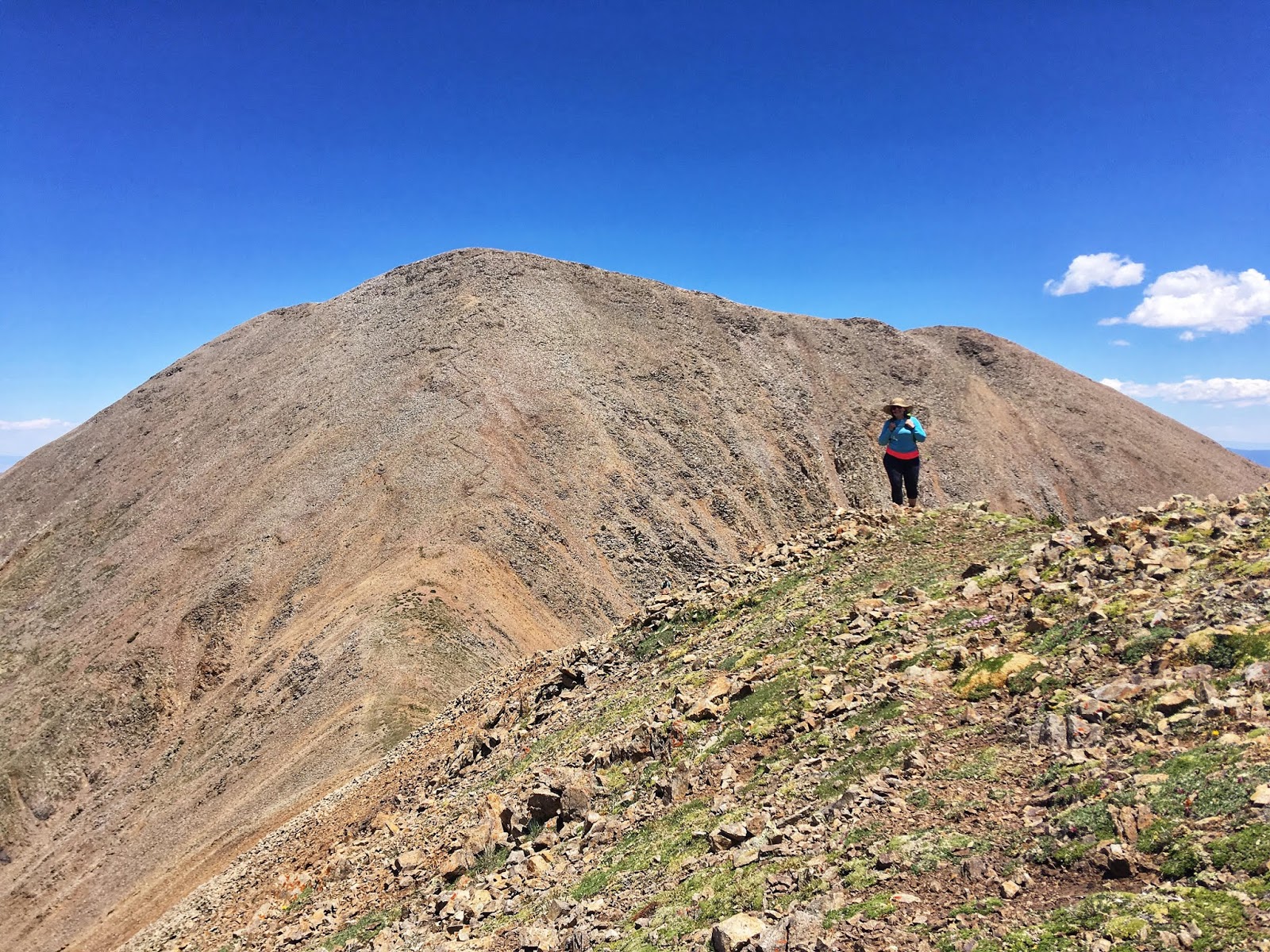
The worst part about this hike? The hike back up to the weather station! It felt really hard since we had already hiked to the highest point, dropped down 350 ft, only to hike back up 300 ft! However the views this way are pretty sweet! Definitely an awesome, memorable hike!
Trail Map
My track via Gaia GPS – the best tracking app! Get your app here for a discount.
Recommended Gear
Nearby Hikes
Hiking to Brumley Arch, LaSal Mountains

Save me on Pinterest!
