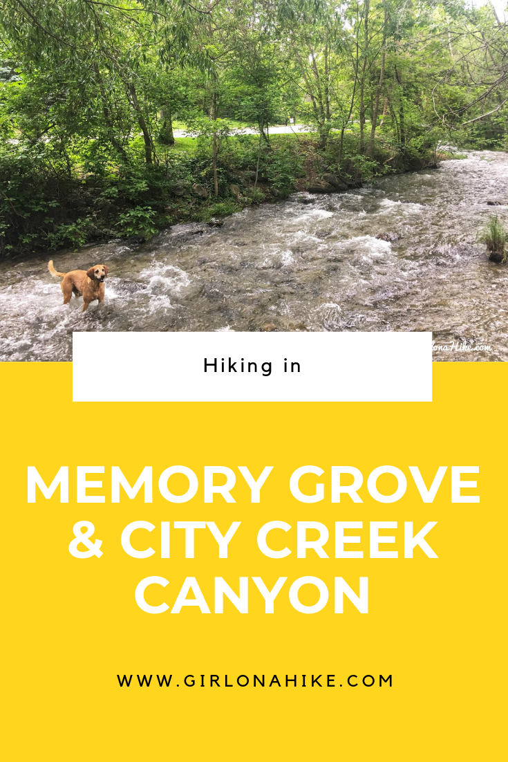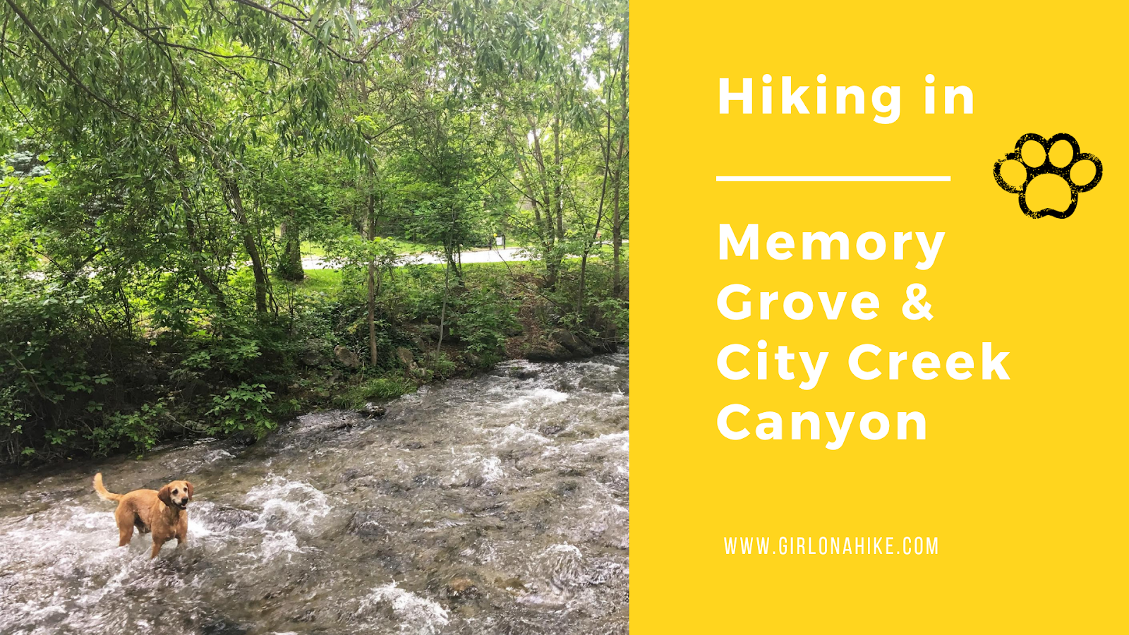

Memory Grove Park is located just north of downtown SLC, and offers an escape from cement, skyscrapers, and traffic into a secluded park with a year-round stream. The 9 acre park includes an off leash area, remnants of old buildings, fountains, restrooms, picnic tables, and the Memorial House. Memory Grove features several memorials to Utah’s veterans as well as a replica of the Liberty Bell. If you decide to hike further than the park area, to the North you will enter City Creek Canyon.
About
The path in City Creek Canyon is a 5.8 mile, paved canyon maintenance road that is closed to the public cars on odd days; bikes are permitted on odd days; pedestrians are allowed every day. Dogs must be leashed, and are not allowed past the water treatment building (3 miles up the road).
Bike Winter Schedule
Allowed every day except during the rifle deer hunt for the area. Dates vary every year, but it is often the 3rd week in October.
Bike Summer Schedule
Biking is only allowed in the canyon on ODD DAYS beginning the last Monday in May and ending the last even day of September. Regardless of date, biking is not allowed on summer holidays (Memorial Day, July 4th, Pioneer Day, and Labor Day)
Directions
Most people park at the South Entrance, located here, on North Canyon Road.
You can also park at the North Entrance, located here.
Trail Info
Distance from the South parking lot: 2 miles RT + more for exploring
Elevation gain: 400 ft
Dog friendly? Yes. There is a designated off leash space for dogs
Kid friendly? Yes!
Fees? None
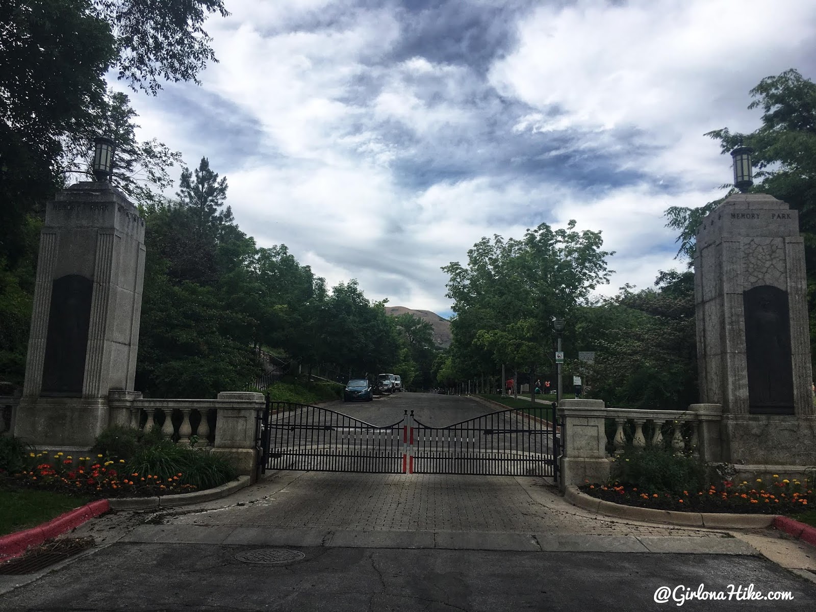
Most people park at the South entrance, then walk up to the off-leash area.
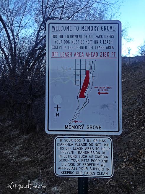
Official sign. The off leash area is also known as the “Freedom Trail”.
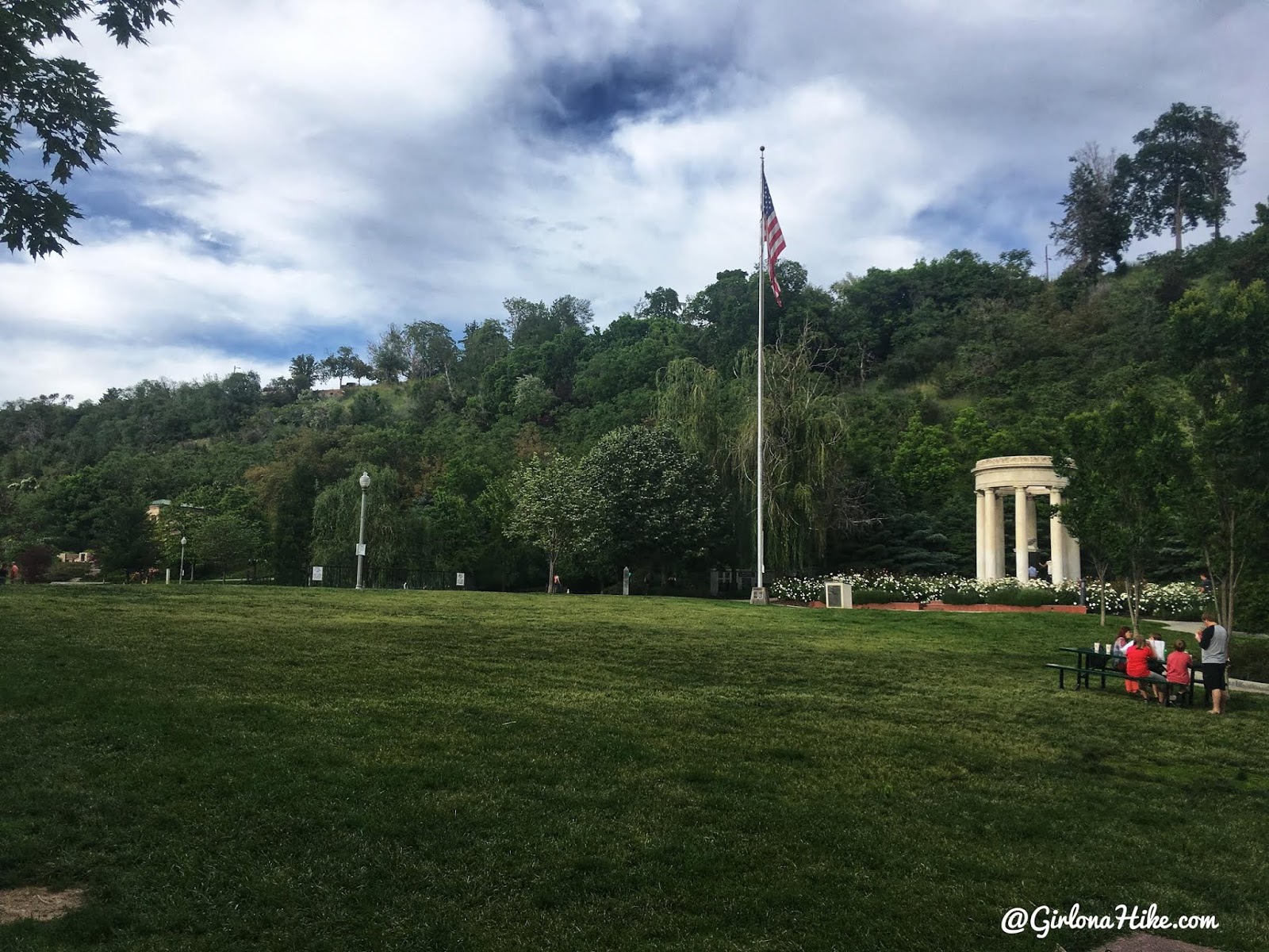
Walking through the park, at the on-leash area.
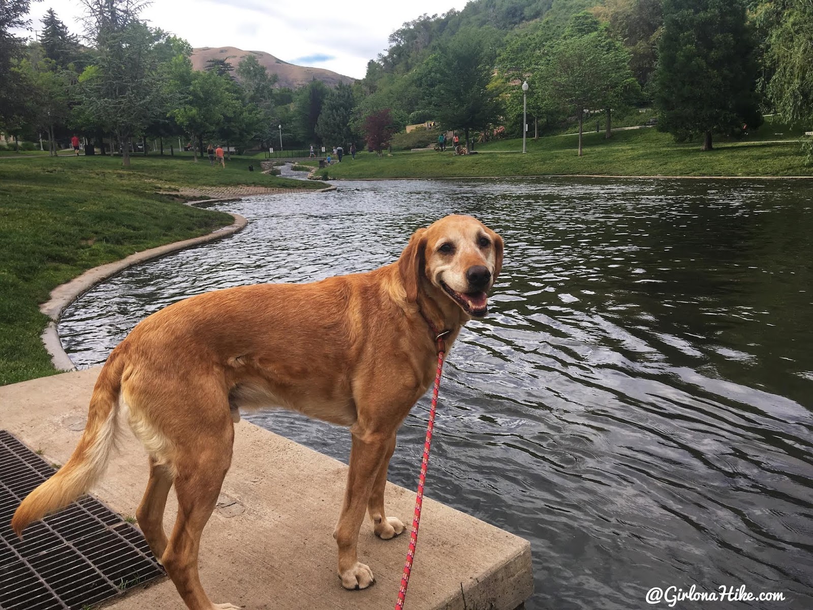
Charlie wished he could jump in so bad! But unfortunately dogs can’t swim in this pond.
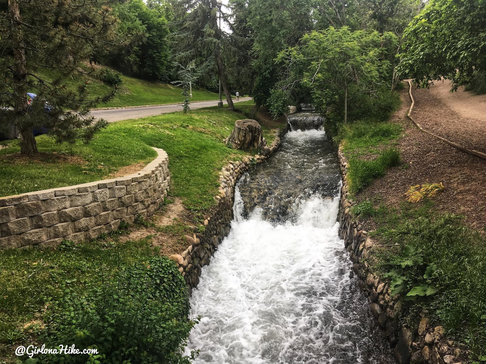
The whole time you will walk along the City Creek stream, which flows year-round. After you cross the main bridge, you can now let dogs off leash.
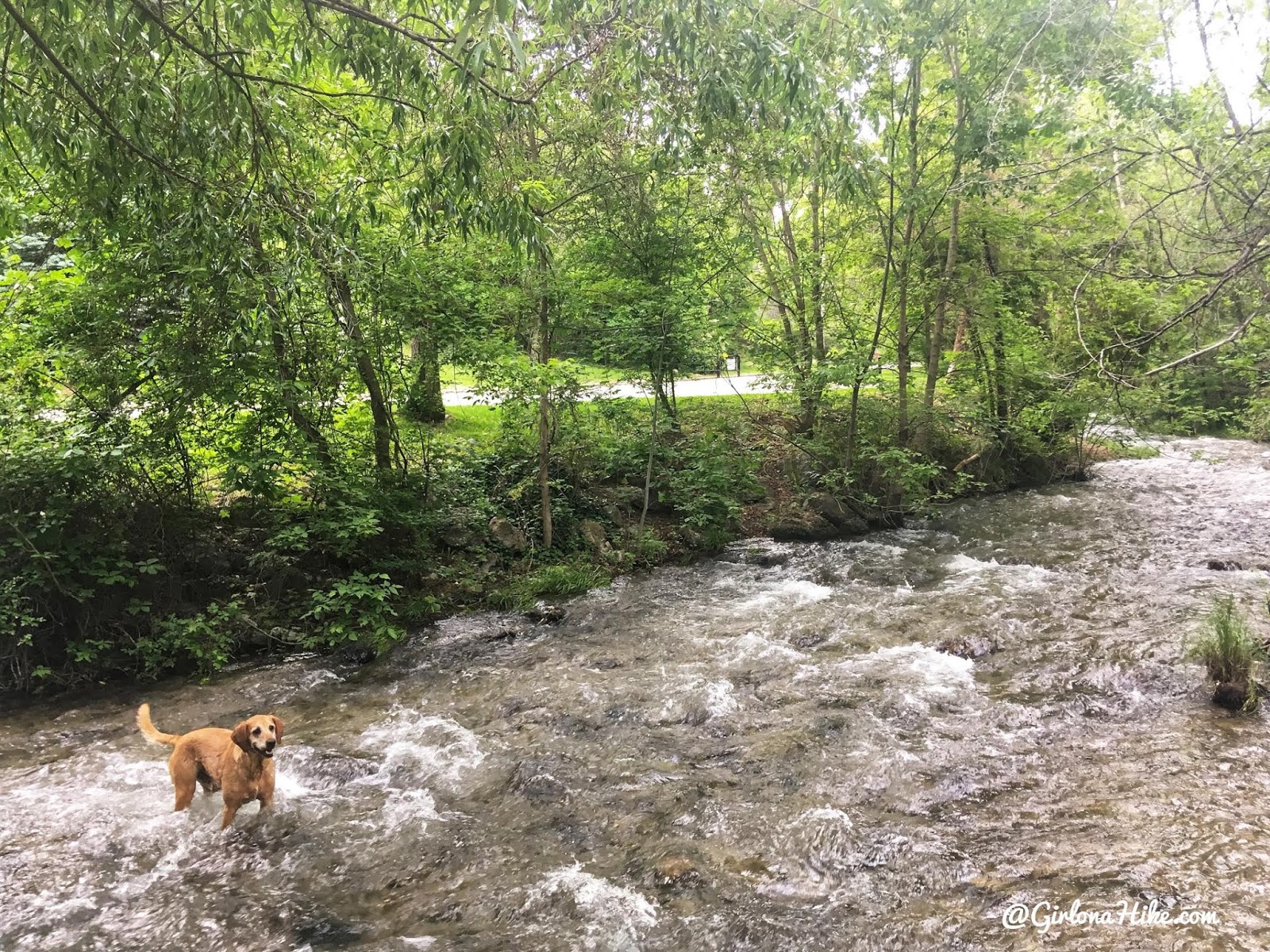
Ahh, Charlie was finally happy to play in the creek!
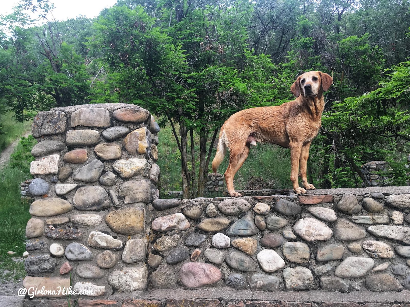
Playing on some old rock walls.
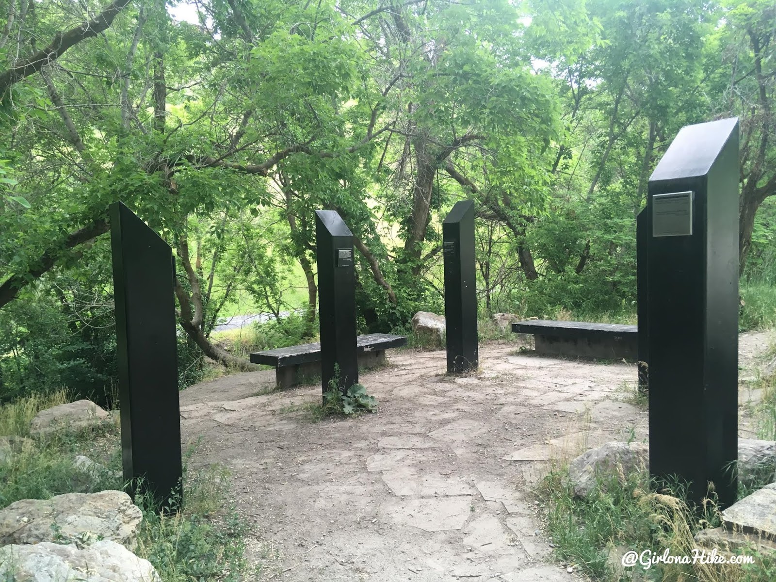
You’ll pass several Veteran Memorials.
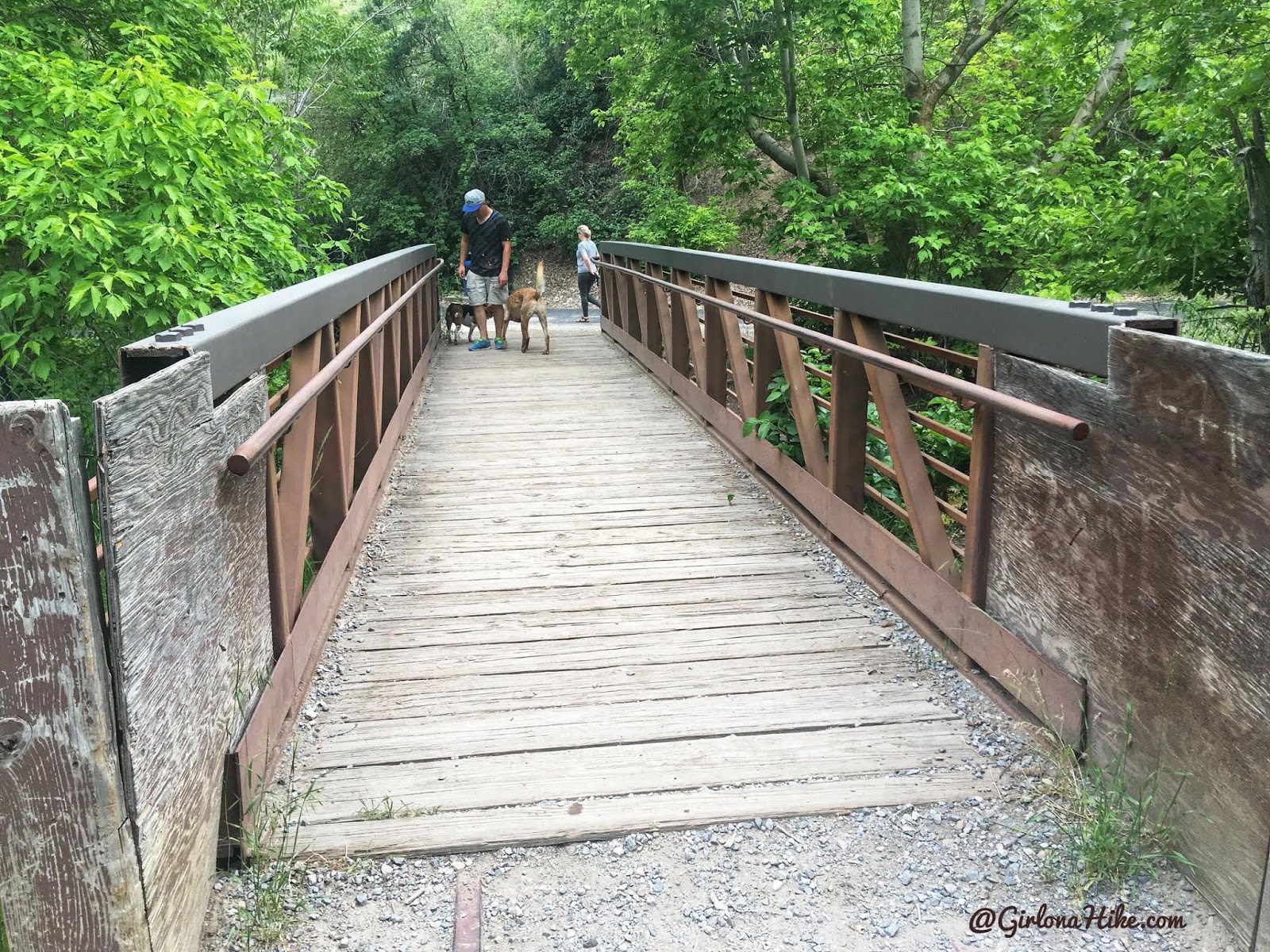
Cross a bridge again and you’ll now be on pavement. Continue walking North for a longer hike.
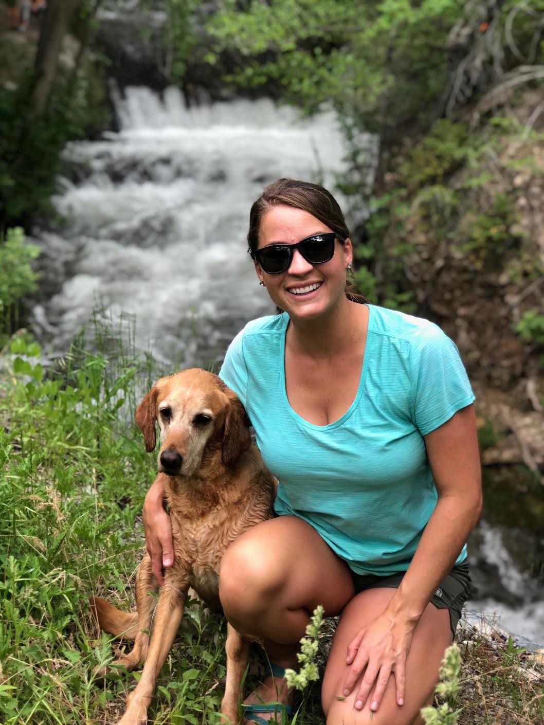
There are some great photo ops along the way!
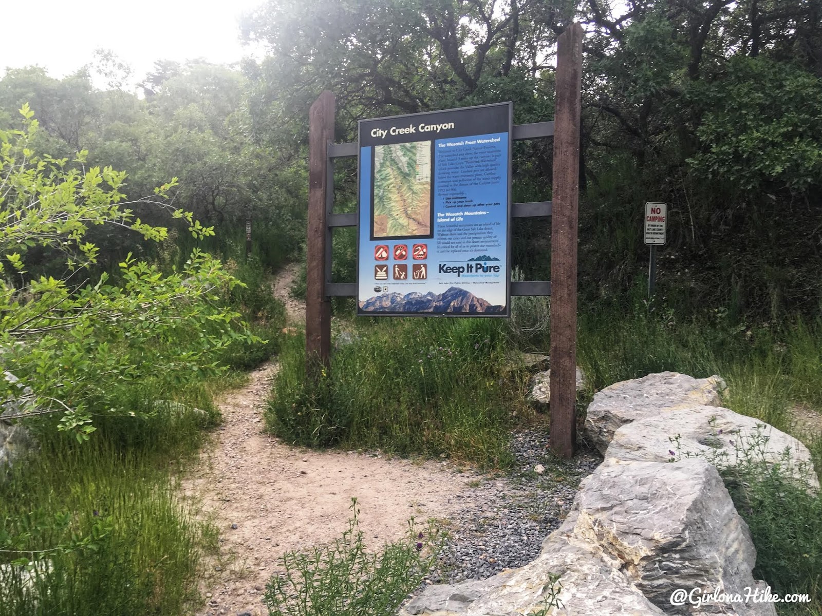
Eventually you’ll reach City Creek Canyon, and there is a trail on either side of the road. We took the West side trail for another mile.
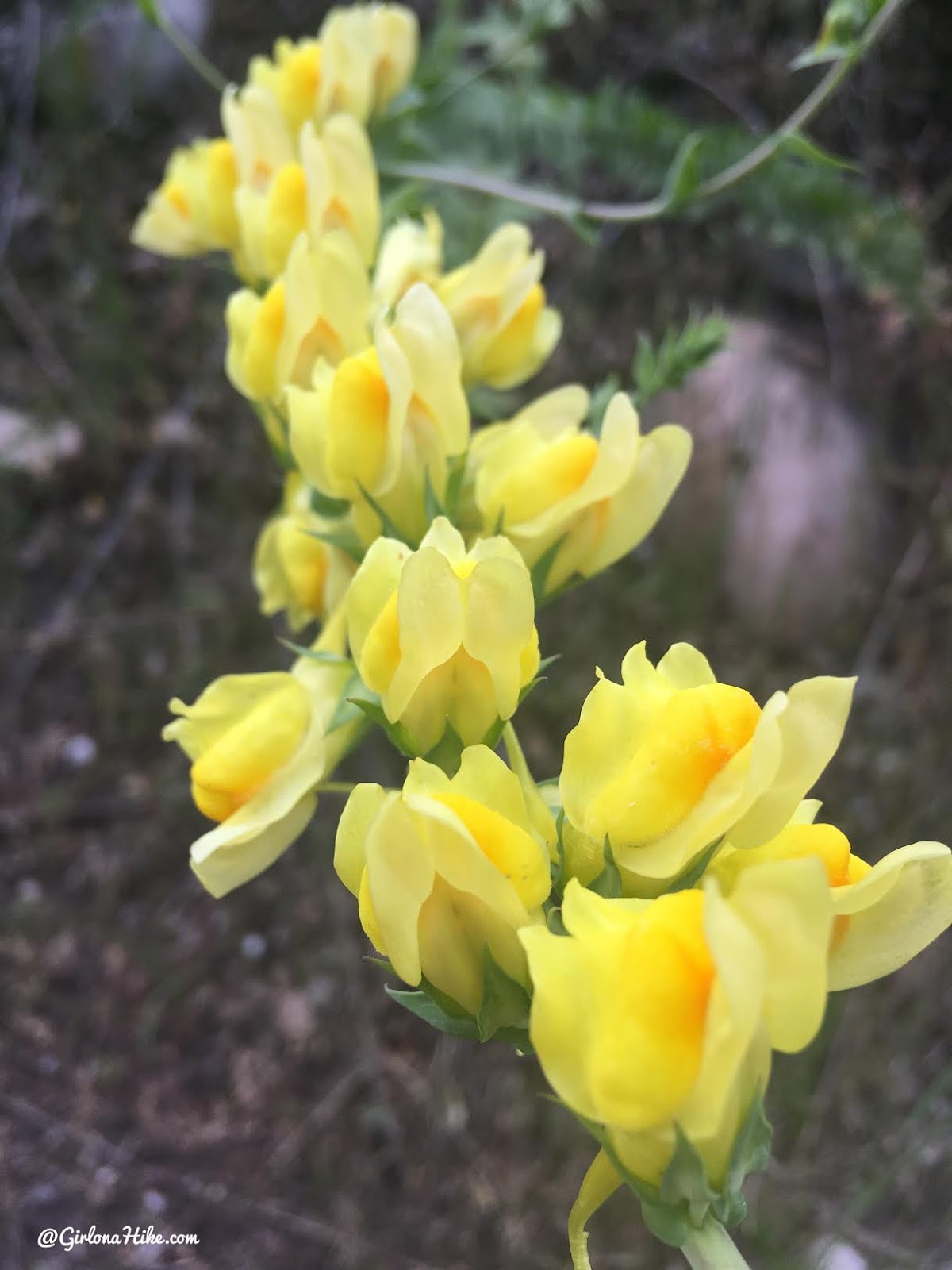
Beautiful flowers in June!
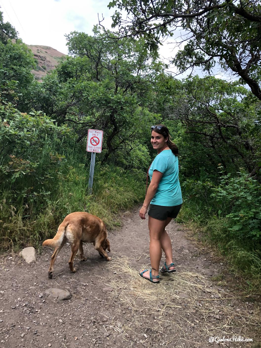
We walked to this sign, where bikes are no longer allowed. From the South (main) entrance, it was 2.2 miles one way to here.
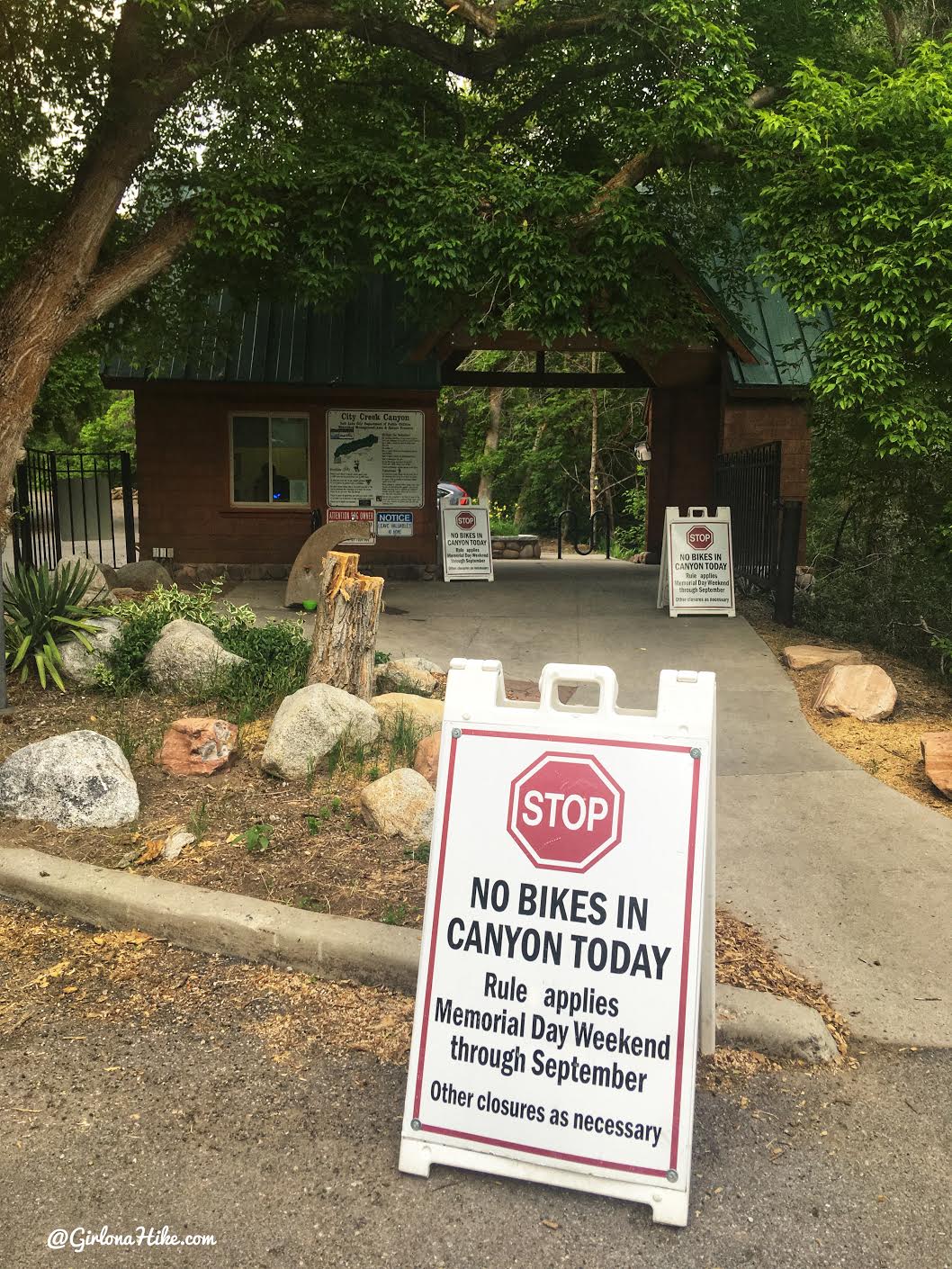
On the way back we put the dogs back on leash, then walked down the road and exited City Creek.
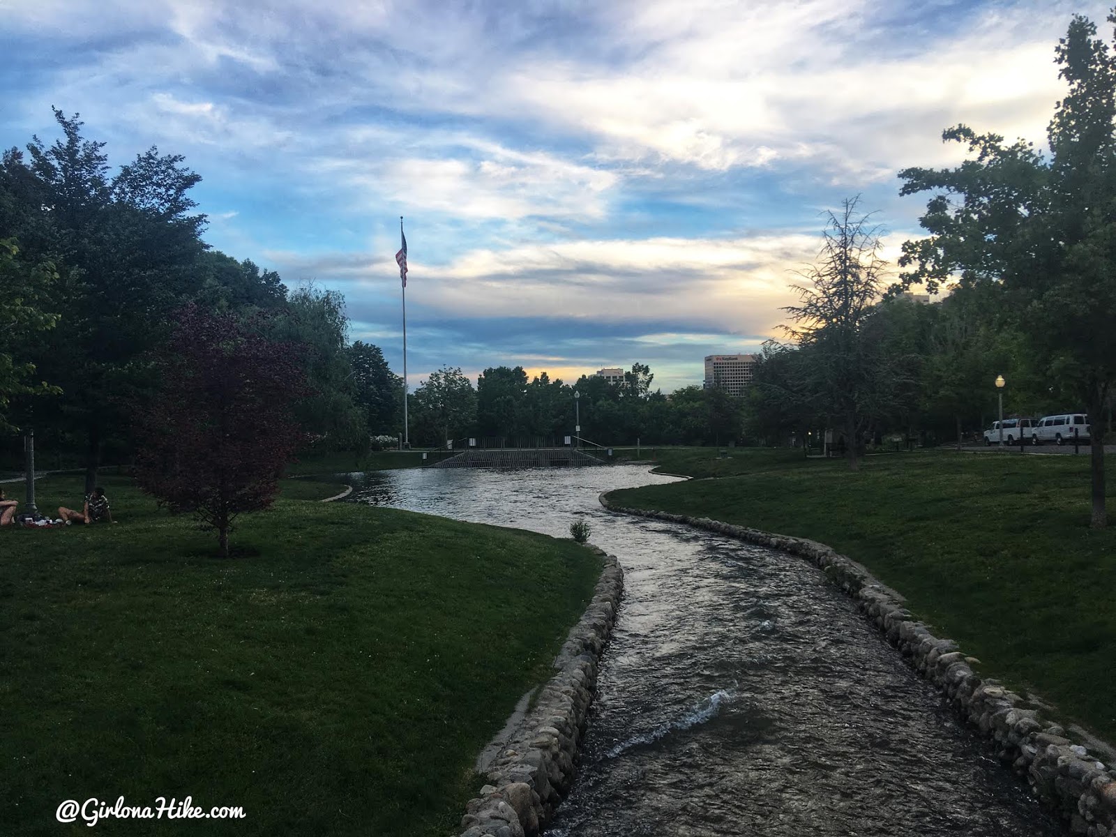
Making our way back to the South entrance – what a pretty night!
Trail Map
You can really make your hike/run as long or short as you want.
My track via Gaia GPS – the best tracking app! Get your app here for a discount.
Nearby Hike

Save me on Pinterest!
