Looking for the 3 easiest hikes in Salt Lake City?
Look no further. I've created this list for those wanting to take the kids out for a short hike, those that may not have enough time for a longer or harder hike, or those with families visiting SLC that want to view pretty scenery but aren't up for a full day of hiking. These 3 hikes range from 5 minutes to 2 hours, and can be hiked year round. No matter how long or short your hike, be prepared with at least one bottle of water per person, a small snack, and sun protection. Grab your hikin' boots, and let's hit the trails!
Scout Falls is a popular waterfall located right off the Timpooneke Trail on the way to Mt. Timpanogos. In summer, it's a fun spot to cool off on your hike or filter your water for the long trek to the summit. Normally it is only 1.5 miles to reach the falls but in winter it is 4 miles one way since the road is closed at the winter gate. It's been a goal of mine to see the fall in winter, with long icicles, frozen over.
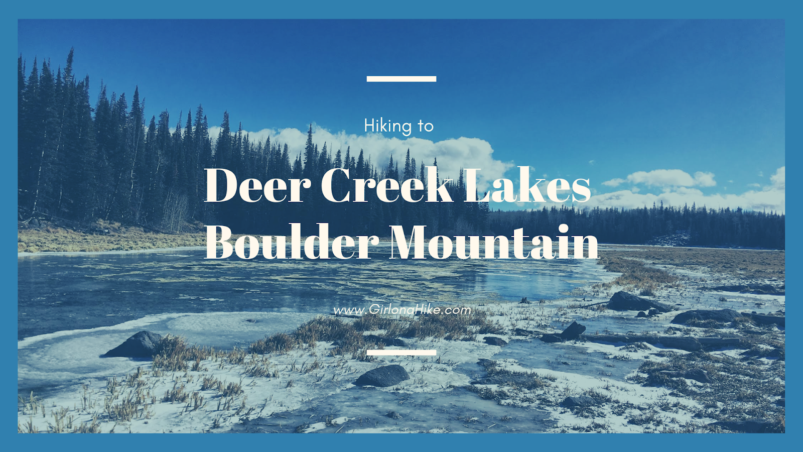
Deer Creek Lakes sits high on Boulder Mountain at 10,000 ft, and several other nearby lakes are accessible as well including Green, Chriss, and Mooseman Lakes. All of these lakes provide for an excellent day hike, quick overnight backpacking trip, and plenty of fishing and sightseeing. The trail to get to Deer Lake is only 2.8 miles one way, and is fairly easy and flat. Over the 3 miles you only gain about 700 ft, making it a gently incline the whole way. Keep in mind that you will be hiking at a high elevation, and that can often slow hikers and dogs down. Take your time - the views from Deer Lakes is amazing and well worth the effort.
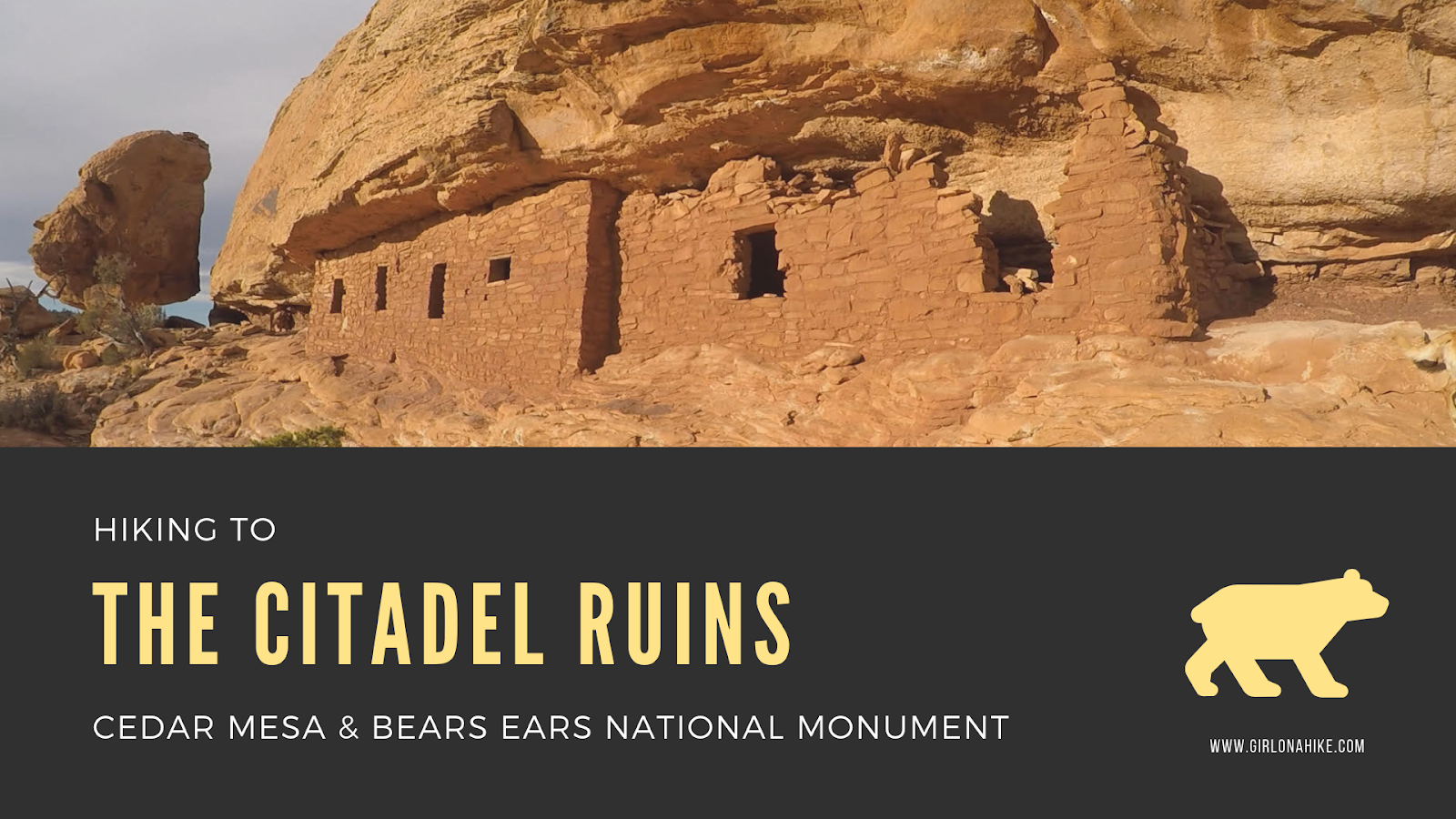 The Citadel Ruins sit high above Road Canyon in Cedar Mesa & Bears Ears National Monument.
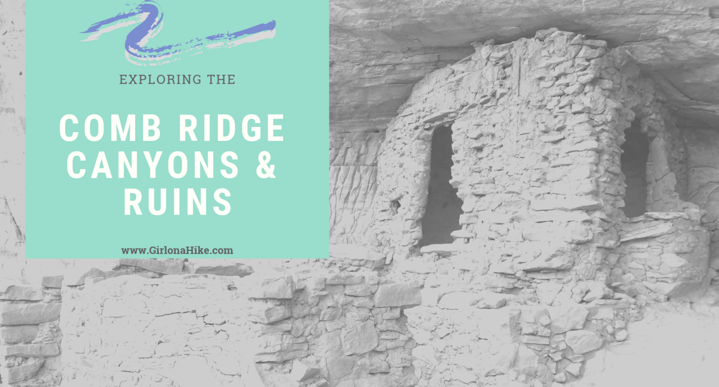
Comb Ridge is a 90-mile long Navajo sandstone ridge (or monocline) running North to South, and is home to many ancestral ruins and petroglyphs that date back around 800 years old. Comb Ridge itself has a gentle eastern facing slopes, while the west side has "teeth" that jut out and above the ridge line. Each of these "teeth" contain drainages that lead to the San Juan River. The Puebloans lived, farmed in this area, and left behind a massive amount of ruins and artifacts. Drought, overpopulation, diminishing resources, erosion, and conflict eventually brought an end to this era.
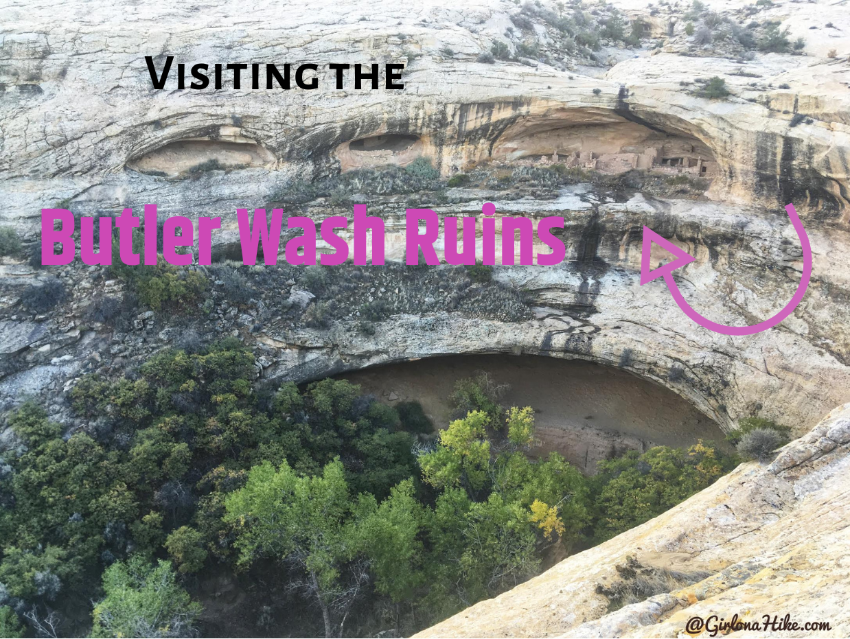
The Butler Wash Ruins are only a 20 minute drive West of Blanding, UT and is only 1 mile RT, so it makes for a great "get-out-and-stretch-your-legs" hike.
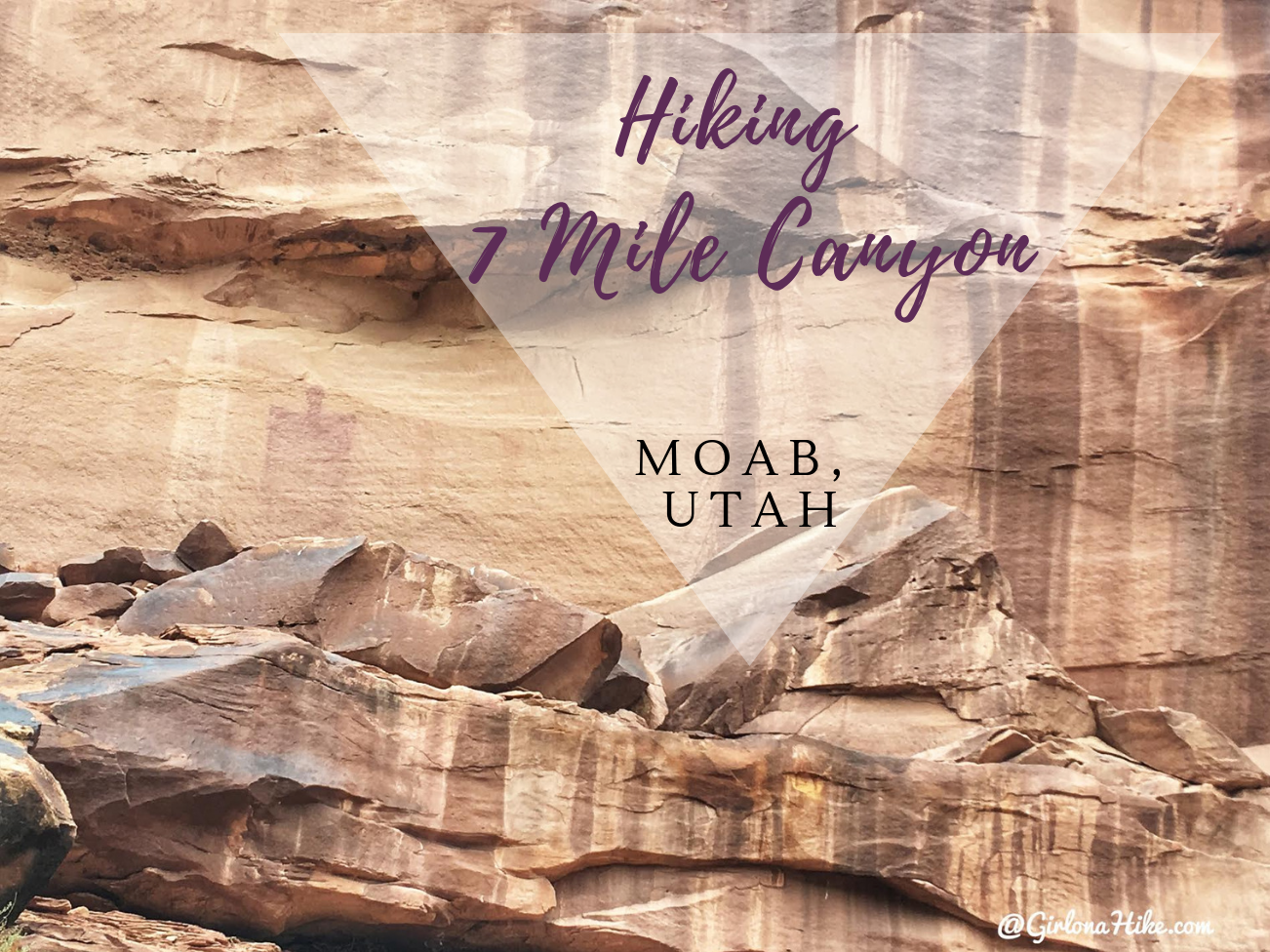
7 Mile Canyon (sometimes spelled out, Seven) is located only 11 miles North of Moab, Utah. It's a great, short hike that dogs and kids will enjoy, as it passes by several petroglphys and pictographs. The trail is very easy and flat, so no hard effort is required to get to these artifacts. 7 Mile Canyon is on the way to Dead Horse State Park, but it definitely has a quiet and remote feel. During our hike we only passed one other person. This hike is very sandy, and you'll hike in and out of the dry steam bed. There's very little shade, so be prepared with the necessary items to keep cool, and carry at least 2 liters of water (and water for your pup!). Please keep in mind that touching the artifacts are not allowed.

