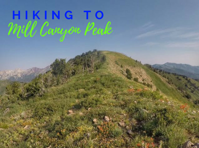
Mill Canyon Peak (10,349 ft) sits on the backside of the Wasatch Mountains and offers amazing 360 degree views. For a 10,000 ft peak this is a relatively easy summit - there's a trail most of the way and no scrambling.
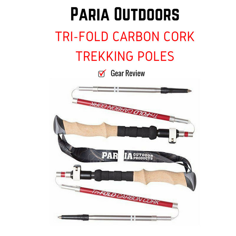
Paria Outdoors, based in Denver, Colorado, designs high quality products and offers them at a reasonable cost, so that they are accessible to anyone. They offer a line up of trekking poles, tents, sleeping pads, and accessories to complement your gear. The term "Paria" comes from Paria Canyon in Southwest Utah - a backpackers dream destination! When I was researching the best ultralight poles, the Paria Outdoors Tri-Fold Carbon Cork Trekking Poles were at the top of my list!
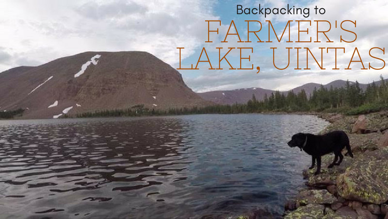
Farmer's Lake is a lake in the Timothy Lakes Basin in the High Uintas. The trail follows the Swift Creek Trail, as it gains 3,000 ft in 9 miles. There are several other lakes you could backpack to including East or West Timothy Lakes, and Carroll Lakes. Backpacking to this area requires at least a one night minimum stay - two nights is preferred. There is plenty to explore as a day hike in the area and even bag some peaks. The best part about this trail and lake is that we didn't see anybody over 3 days on a weekend! You'll find plenty of solitude here.
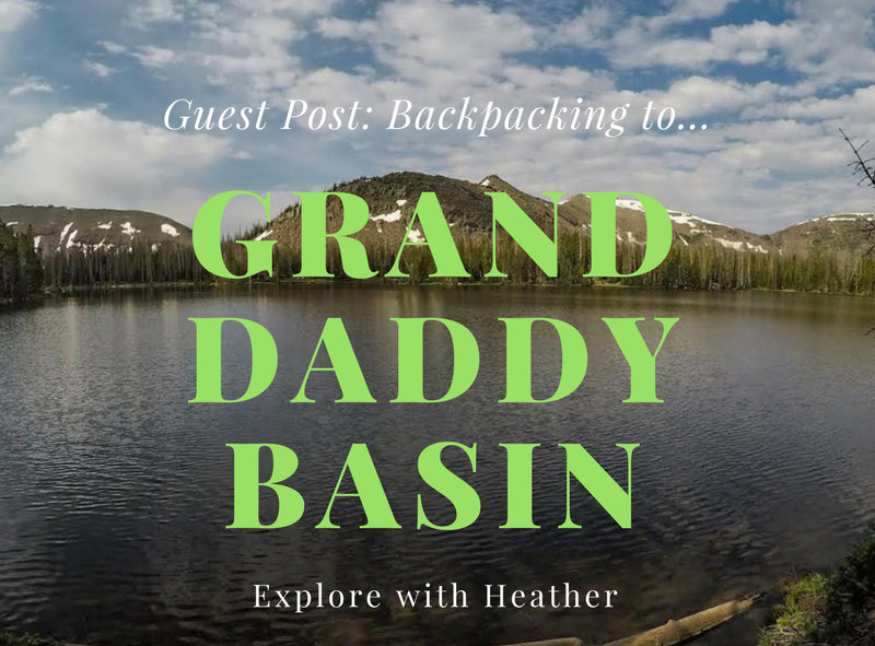
Today's Guest Post comes from Heather Lyon! She, her husband, and dogs recently took a backpacking trip to Granddaddy Basin in the Uintas, and she's here to let us know all about it!
By Heather Lyon
The Uinta National Forest about an hour due East of Park City, Utah is known for many things. Some of these include Kings Peak, over 1,000 alpine lakes, awesome fishing, and our favorite - prime backpacking. It's so simple to go there. Just buy a map, pick a trail, and how far in you want to go. You will surely find yourself with some of the best views at your chosen campsite for the evening.
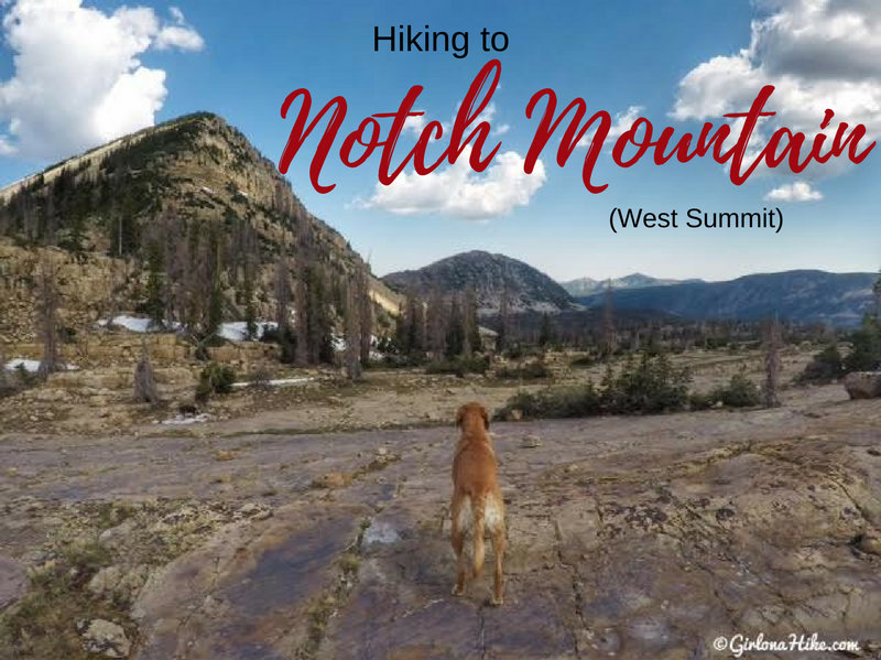
The West Summit of Notch Mountain (11,206 ft) is near "The Notch", an opening in between the West and East summits. The Notch is the high, open area on the Notch Mountain Trail by Lovenia Lake and Twin Lakes. Hiking to the West summit is fairly easy for seasoned peak baggers, and offers a good intro to peak bagging for newbies. There is a trail all the way to The Notch, after that you need to find your own route. It's not hard though, just steep hiking over medium sized boulders. Be careful where you step as some boulders are uneven - always test it out before putting all of your weight on the boulder.
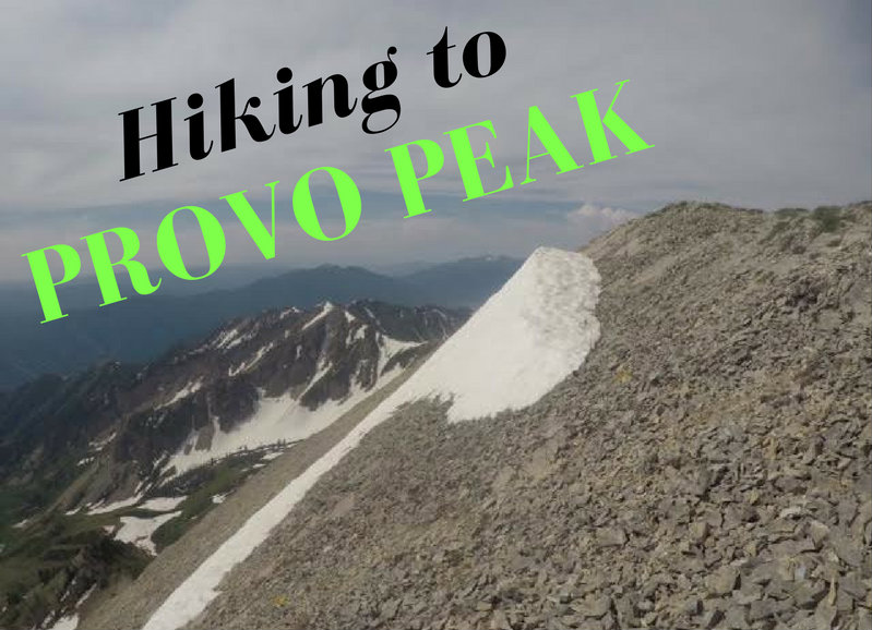
Provo Peak (11,068 ft) is one of the higher peaks in the Wasatch and also one of the shortest but steepest in the area. The trail to the summit is only 1.5 miles but gains 2,700 ft! The views from the summit are amazing, as you get 360 degree views of Utah County, and on a clear day into SLC County and major peaks north.
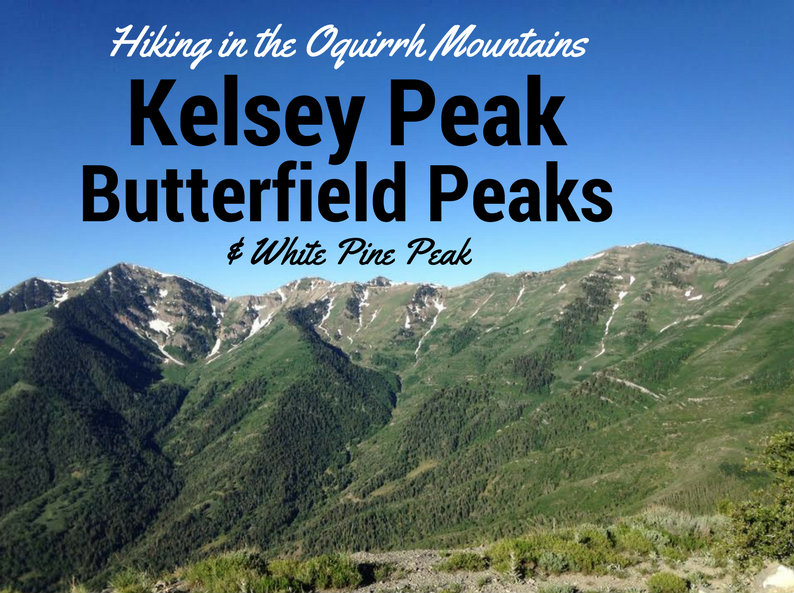
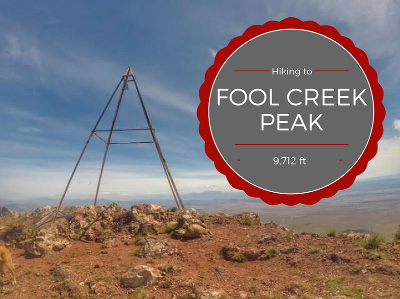
Fool Creek Peak (9,712 ft) is the highest summit in the Canyon Mountain Range in central Utah, and ranks #20 on the Utah Prominence List with 3,712 ft. I bet everyone has seen this peak, but nobody knows the name as you drive by it heading south on I-15 in Scipio, UT. This is one of the reasons I just had to hike this peak - every time I would drive on I-15 I said to myself "One day I'll hike to that peak!" So I did.
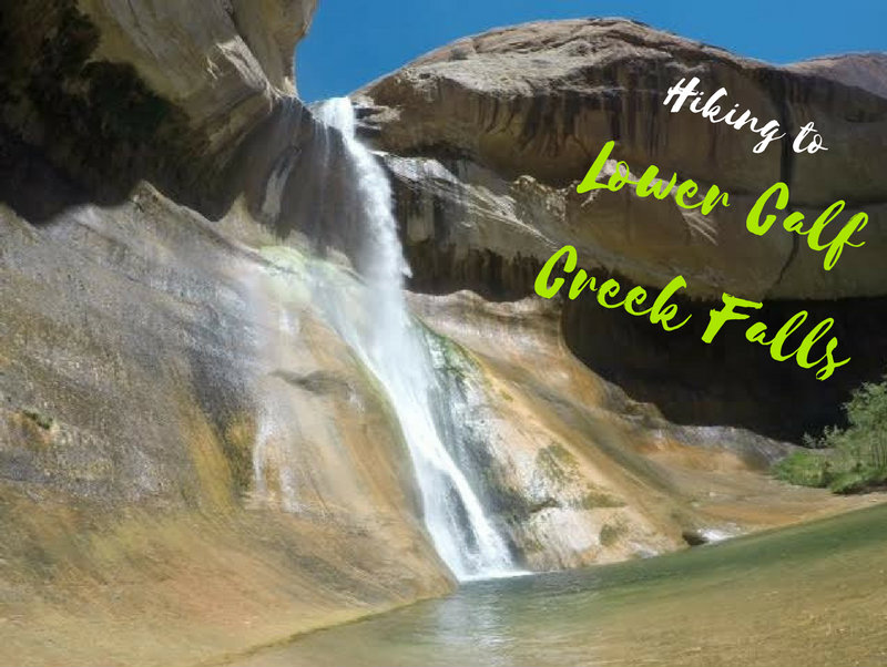
Lower Calf Creek Falls is one of the most popular trails near Escalante, UT and in Grand Staircase-Escalante National Monument.

