
Directions
From I-15 heading south from SLC, take exit 260 for W 400 S in Springville, UT then head East. Turn right on Main St., then turn left W 800 N. Turn right onto N 300 W, then left onto E 400 N. Follow this all the way into Maple Canyon, until you pass Whitings Campground. Drive to the very end of the road where the trail begins.
Trail Info
Distance: 10 miles RT
Elevation gain: 4,600 ft
Time: 6-8 hours
Dog friendly? Yes, off leash
Kid friendly? No
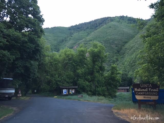
Driving into Whitings Campground, a nicely shaded and not very popular campground in Maple Canyon.
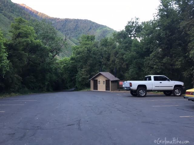
Drive through the campground to the very end of the road to the trailhead parking lot, with a vault toilet. There are no fees or permits required to hike here. At 6am, only one other car was parked here.
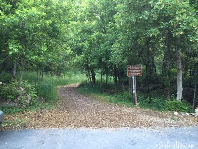
The trail starts at the most Eastern end of the parking lot.
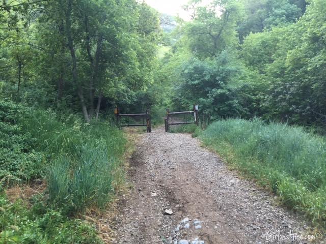
Walk past the gate.
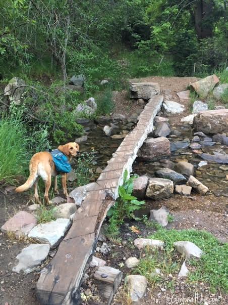
About 10 minutes up the trail, look for the bridge crossing the stream to your right, across from a metal bench. This is your turnoff for Spanish Fork Peak.
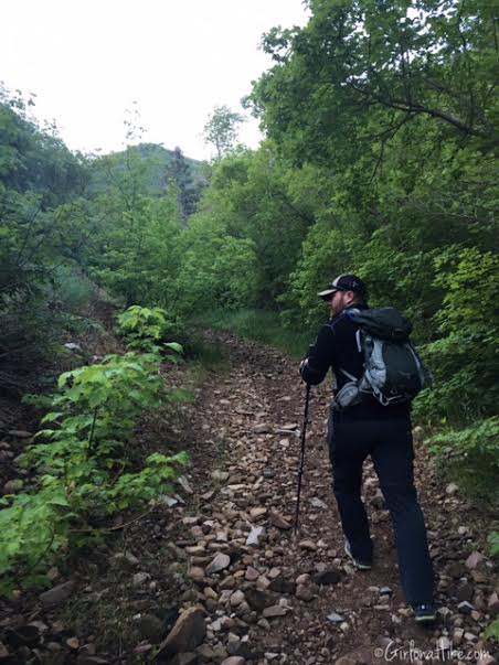
The trail is well defined the whole way, yet rocky. Hiking poles are very helpful for a hike like this.
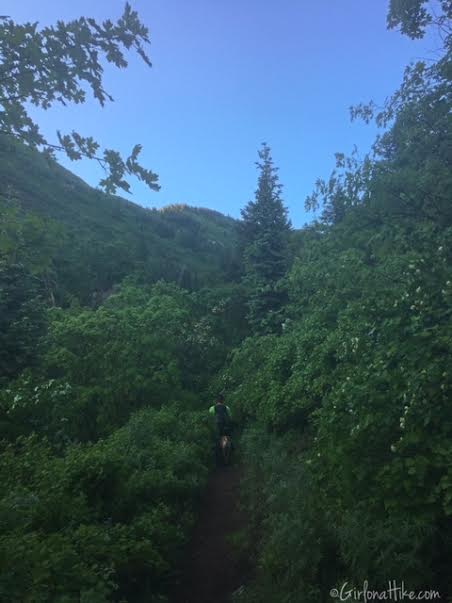
The trail is very well shaded for the first half of the hike, and cuts through two small meadows.
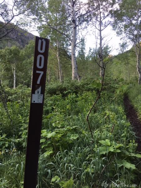
You will be following Trail 007 to get to the peak.
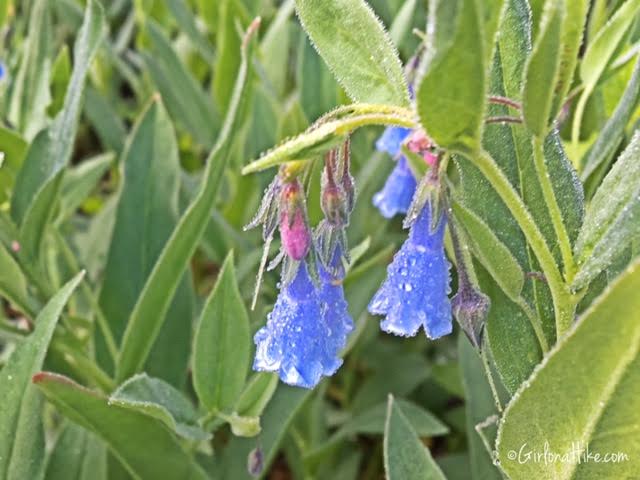
Bluebell Bellflower is abundant along the trail in early Summer.
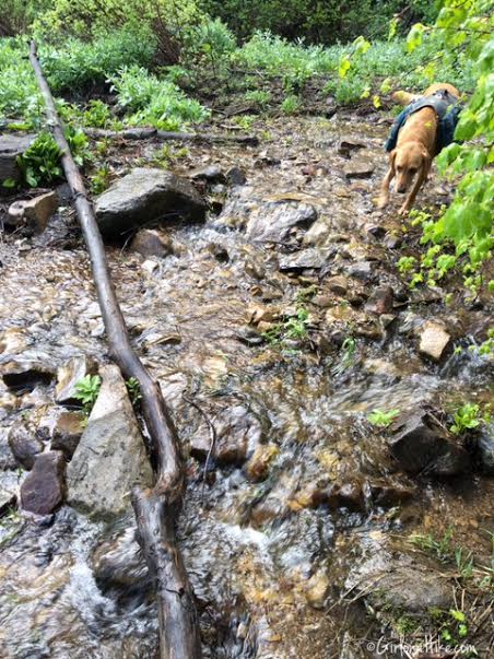
You’ll need to cross the stream once more. Up until this point you will have hiked along the west side of the stream. After you cross this stream, you will be hiking on the East side of it for awhile.
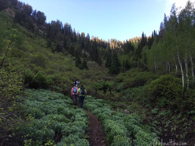
The trail steadily gains elevation, so we took several “breather breaks”. About 1 mile before Maple Canyon Lake, the trail will open up.
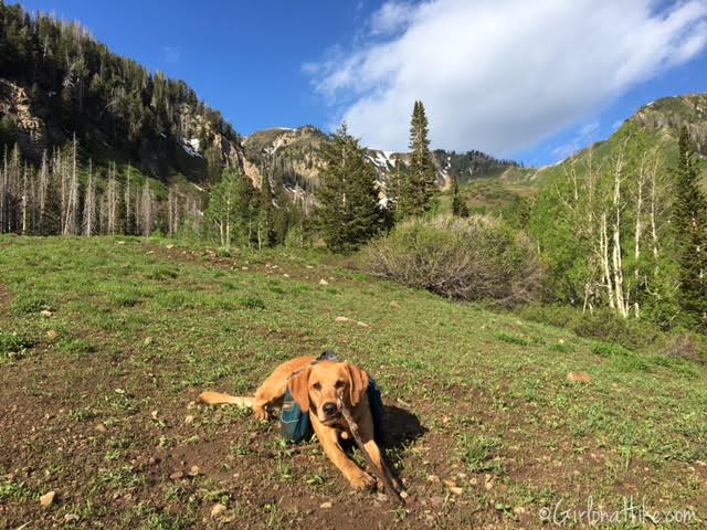
We didn’t hit sunlight until around 9am, after the sun reached above the eastern ridgeline.
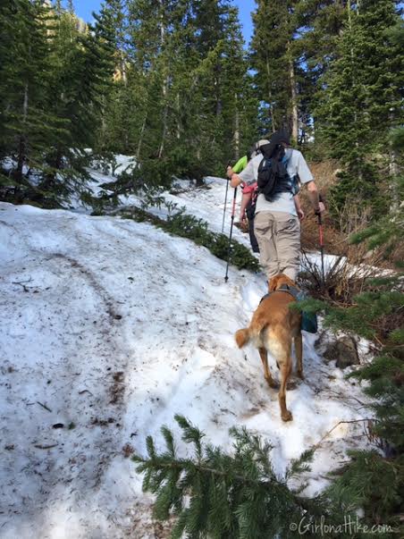
We hit the first remaining snow patch, but it didn’t last long.
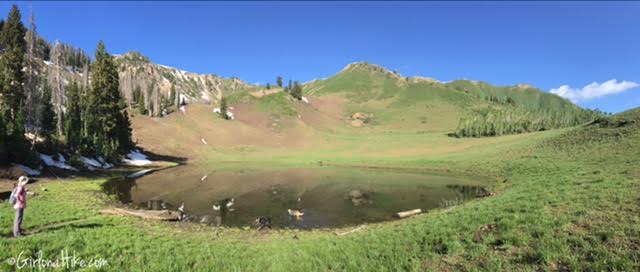
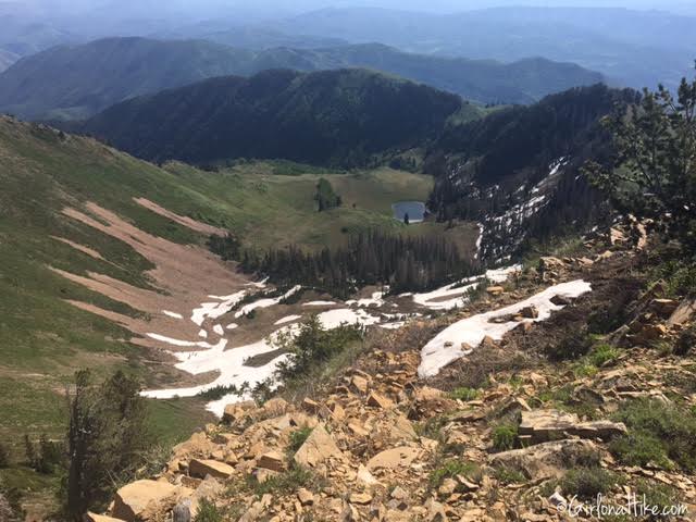
Next, we finally reached Maple Canyon Lake. The lake is currently at a high level, as you can see when you hike by, that the water level covers the trail. We simply had to walk around the side of it.
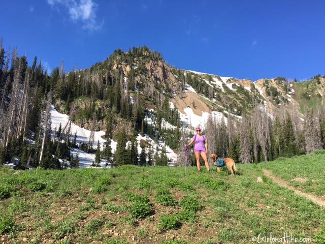
Getting closer.
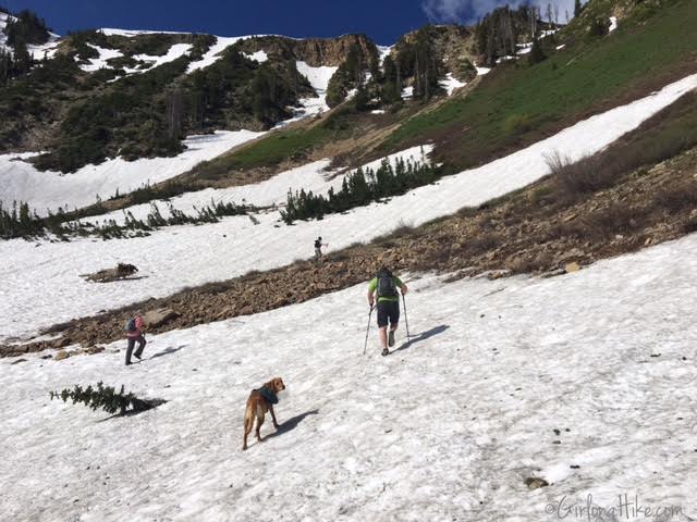
We found more snow, and lost the trail for awhile, but we could see where it picked back up again, near the ridge. We cut across the snow and boulder field, then basically straight up a steep area to reach the trail again.
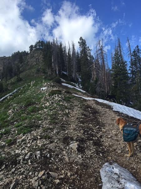
Once you reach the ridgeline, head left. This part is very steep, so take your time.
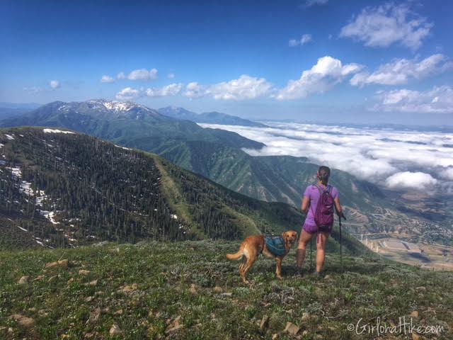
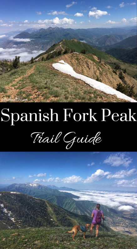
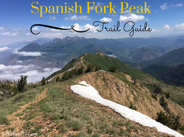
At the sub peak, overlooking Spanish Fork, Utah to my right, and Santaquin Peak with the snow on top. Mt. Nebo is the peak further in the distance.
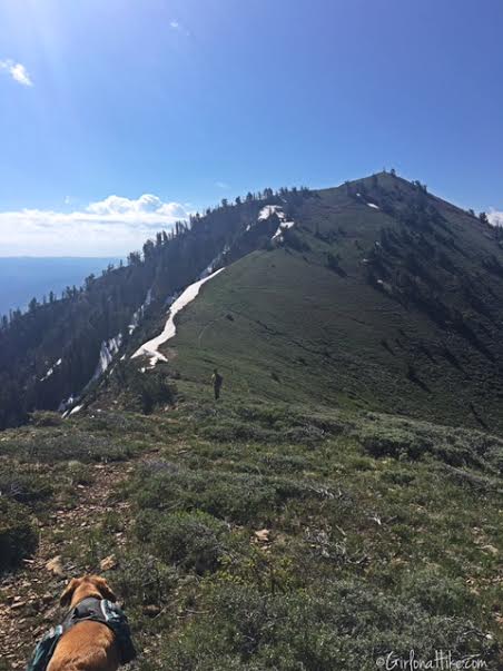
Continuing along the ridge trail – you can see the 10 ft tall triangulation measurement tower from here.
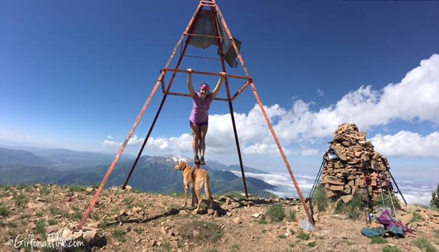
On the summit! It took me exactly 4 hours to summit, and would take me 2.5 hours to get back to the car.
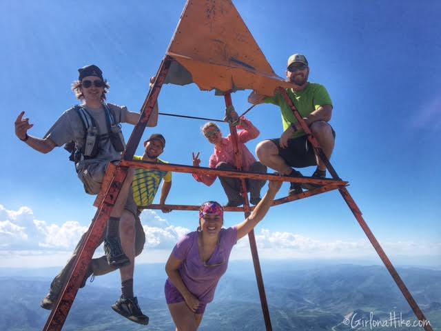
My super fast hiker friends beat me to the peak by about 20 minutes (so about 3:40 to summit for them)
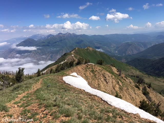
On Spanish Fork Peak looking North to Provo Peak, and Timp way in the distance.
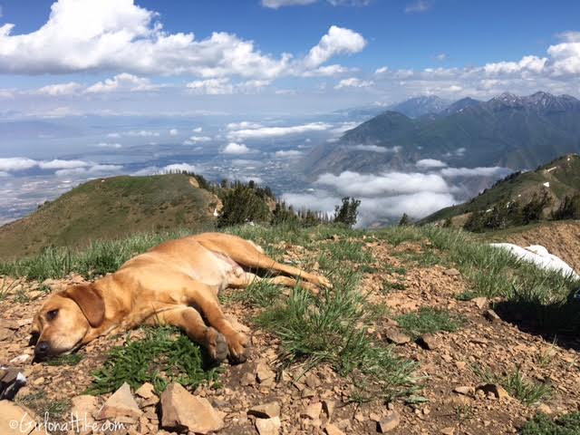
Charlie takes his usually rest on top of the summit.
Trail Map
My track via Gaia GPS – the best tracking app! Get your app here for a discount.
Nearby Hike

Save me on Pinterest!
