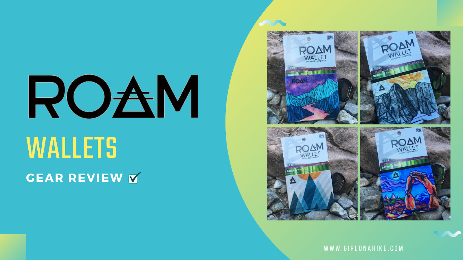
ROAM Wallets are minimalist wallets designed to get you hands-free while shopping, doing outdoor activities, or simplify your accessories. These ultra slim and ultra light wallets come in several designs, with close to half designed by actual artists. ROAM Wallets are made from an elastic knit, made to hold up to 10 or 15 cards, depending on the size of wallet you get. No more hassling with huge purses, too many stuffed cards in your wallet they fall out, and way lighter and cooler looking to carry around.
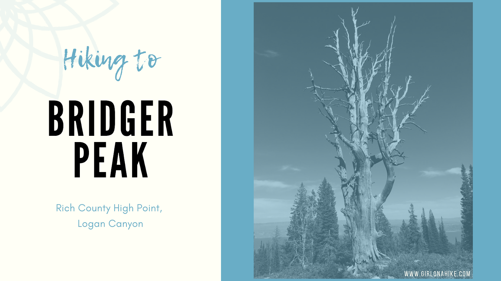
Bridger Peak (9,225 ft) is the Rich County High Point, but also the lowest in elevation of all Utah County High Points (CoHPs)! Bridger Peak was Unnamed Peak until 1999 when the Tribune ran a contest for someone to name the peak. Briger Peak won for Jim Bridger who was an early explorer of Utah and the Yellowstone area, Now Yellowstone National Park. He was a great mediator between the Native American tribes and European-American settlers, and was in excellent shape aiding him to explore the West.
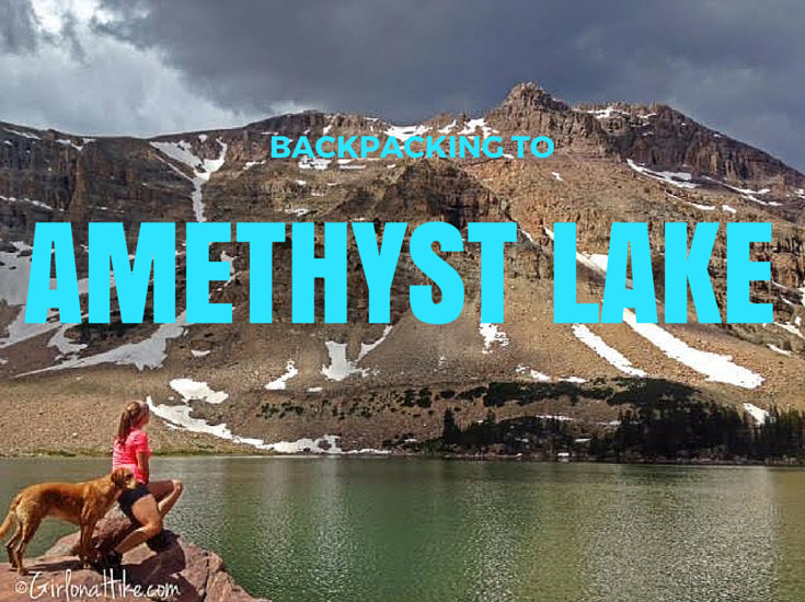
Backpacking to Amethyst Lake in the High Uinta Wilderness is a backpackers dream - a high alpine lake, lots of hiking and fishing, great campsites, not too many people, and cooler temperatures. Although the hike in is somewhat tough (especially if you are carrying a 30-40 lb pack), the reward and view is well worth the hard effort.
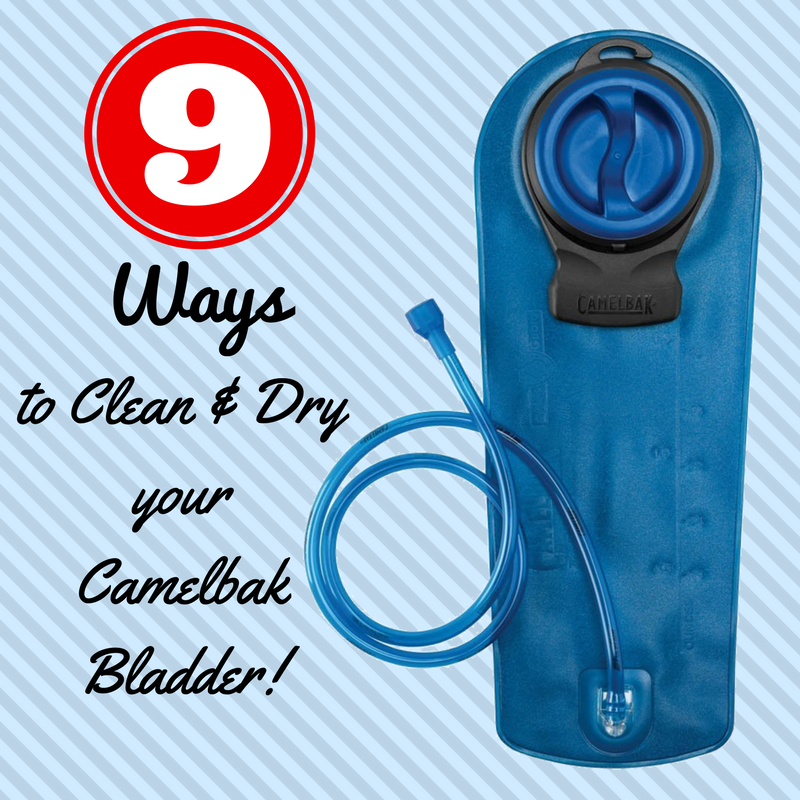
Cleaning your bladder doesn't have to be hard, use these 9 Ways to Clean & Dry Your Camelbak Bladder! Whether you are a novice or experience hiker, I think we are all together when I say, "I hate cleaning my Camelbak bladder!" Yet, it's a necessary evil. Reservoir maintenance is essential to make sure you're getting hydrated properly without sucking in mold or bacteria. Reservoir cleaning should be given priority after every one to two uses.
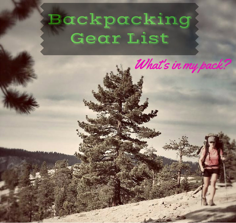
Let's talk Gear!
Walk into REI or any other outdoor store and you'll definitely feel overwhelmed with so many options for backpacking. Do you want to go Ultralight (UL)? Cook food or eat dehydrated? Do you want comfort or style? So many questions, right?! Then you have to pick the coolest color...
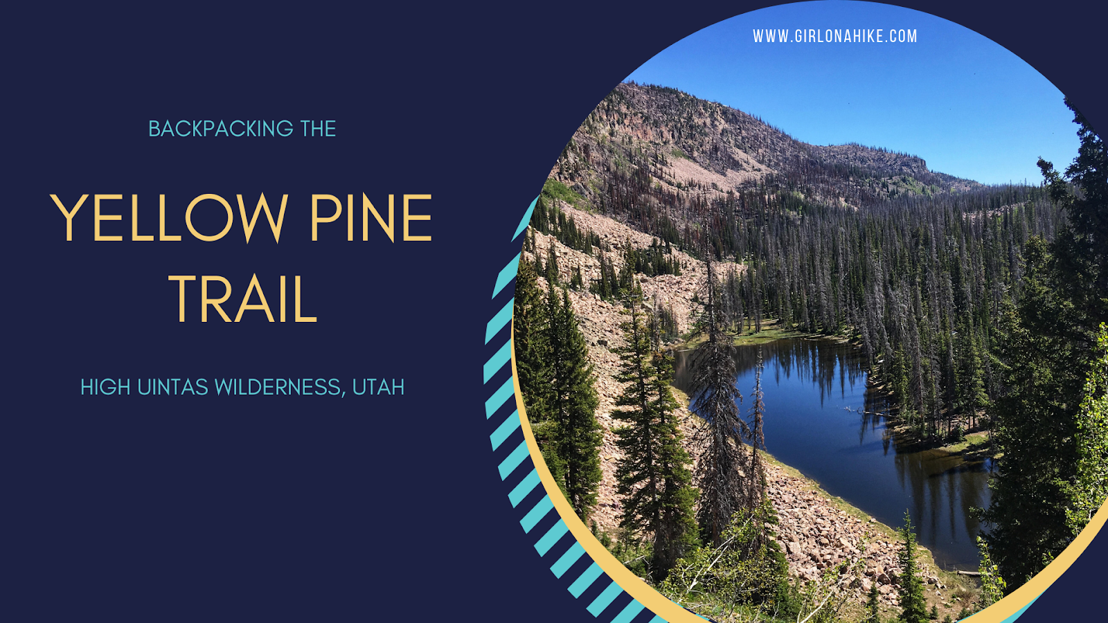
The Yellow Pine Trail is one of the first trailheads you will pass after entering the Mirror Lake Highway, coming from Kamas, UT. The trail leads to three lakes - lower & upper Yellow Pine Lakes, as well as Castle Lake. You can also day hike to Duke & Castle Peak, both over 10,000 ft. This is a great early-season backpacking route when the higher Uintas is covered in snow. The trail is mostly well shaded and offers plenty of water along the way for your pup to drink from or to filter from. It is slightly steep and rocky in sections, so this trail took longer to reach the lakes than anticipated. The best time to hike here is late June though October, or when the first snow flies.
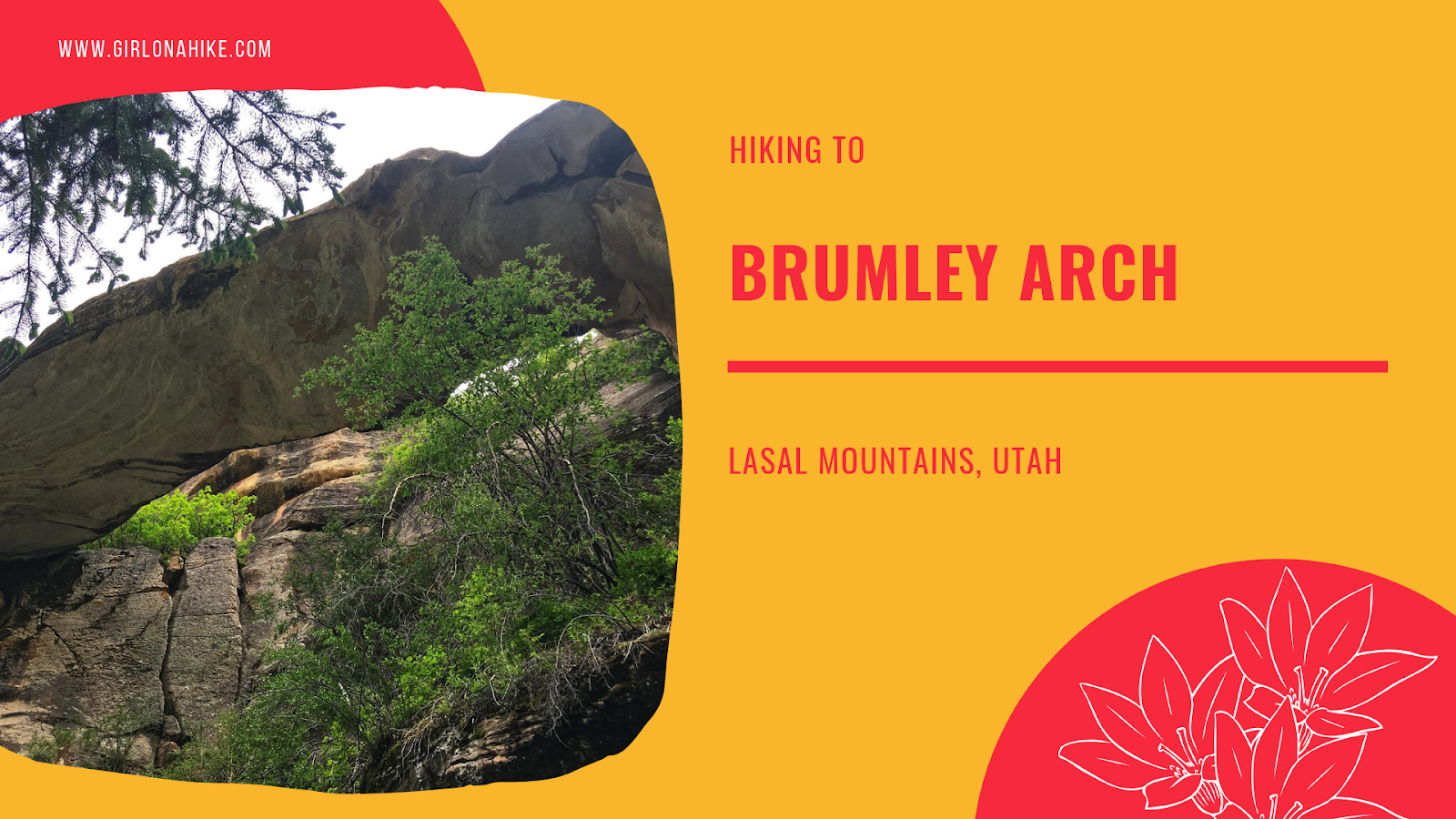
Brumley Arch is located in the LaSal Mountains, just outside Moab, Utah. It is only 2 miles round trip, making this a great family-friendly hike that even dogs are allowed to hike to. The trail is very shaded, but has some steep spots, especially to get to the bottom of the creek and to see the arch so it's best for kids over age 6. Brumley Creek runs year round, though water levels may be quite low in late Summer to Fall.