

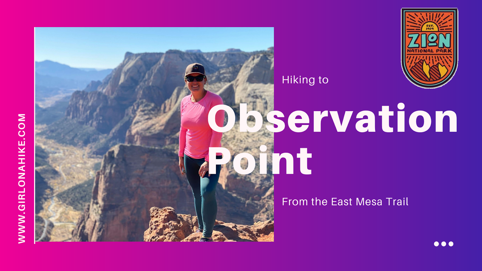
Observation Point – One of Zion National Park’s Best Viewpoints
Observation Point is one of the most breathtaking overlooks in Zion National Park, offering panoramic, 360-degree views of Zion Canyon, the Virgin River, Angels Landing, The West Rim Trail, and even Signal Peak to the west.
At an elevation of 6,507 feet, Observation Point sits about 800 feet higher than Angels Landing, giving hikers a unique perspective that can’t be beat. It’s truly one of the most iconic hikes in Utah and a must-see for visitors to Zion.
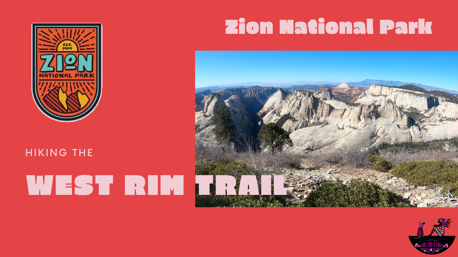
The West Rim Trail is located in Zion National Park (ZNP) and is one of several popular trails for day hikers and backpackers in the area.
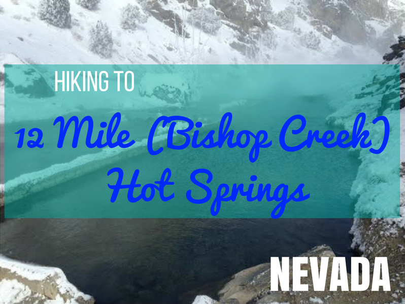
12 Mile (Bishop Creek) Hot Springs – A Hidden Gem in Nevada
12 Mile Hot Springs, also known as Bishop Creek Hot Springs, is one of Nevada’s best-kept secrets—a natural, 102°F oasis located just 12 miles north of Wells, Nevada. With a flat 2-mile hike and relaxing, year-round access, this hot spring is perfect for families, couples, or solo adventurers looking for a peaceful soak surrounded by nature.
Did you know? Nevada has more natural hot springs than any other U.S. state, with over 300 spread across the region—most concentrated in the northern part of the state.
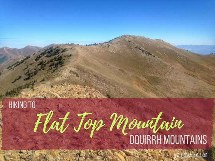
Flat Top Mountain (10,620 ft) is the highest peak in the Oquirrh Mountains (pronounced like "oaker") in Utah, which lies to the southwest of Salt Lake City. Most of the Oquirrhs are private property and mining land for the Rio Tinto Kennecott Mine, however the two areas you are allowed to hike are in Butterfield Canyon, and the Flat Top Mountain trail (update: 2019 land access below). Flat Top Mountain has a prominence of 5,370 ft, making it Utah's 6th highest prominent peak.