
About
Directions
From Panguitch, Utah, head south on HWY 89, then turn left for BCNP on HWY 12. Drive 4.5 miles, then turn left into the TH parking area. Here is a driving map.
Trail Info
Distance: 4.5 mile loop
Elevation gain: 451 ft
Time: 2-3 hours
Dog friendly? Yes, off leash
Kid friendly? Yes!
Fees/Permits? None
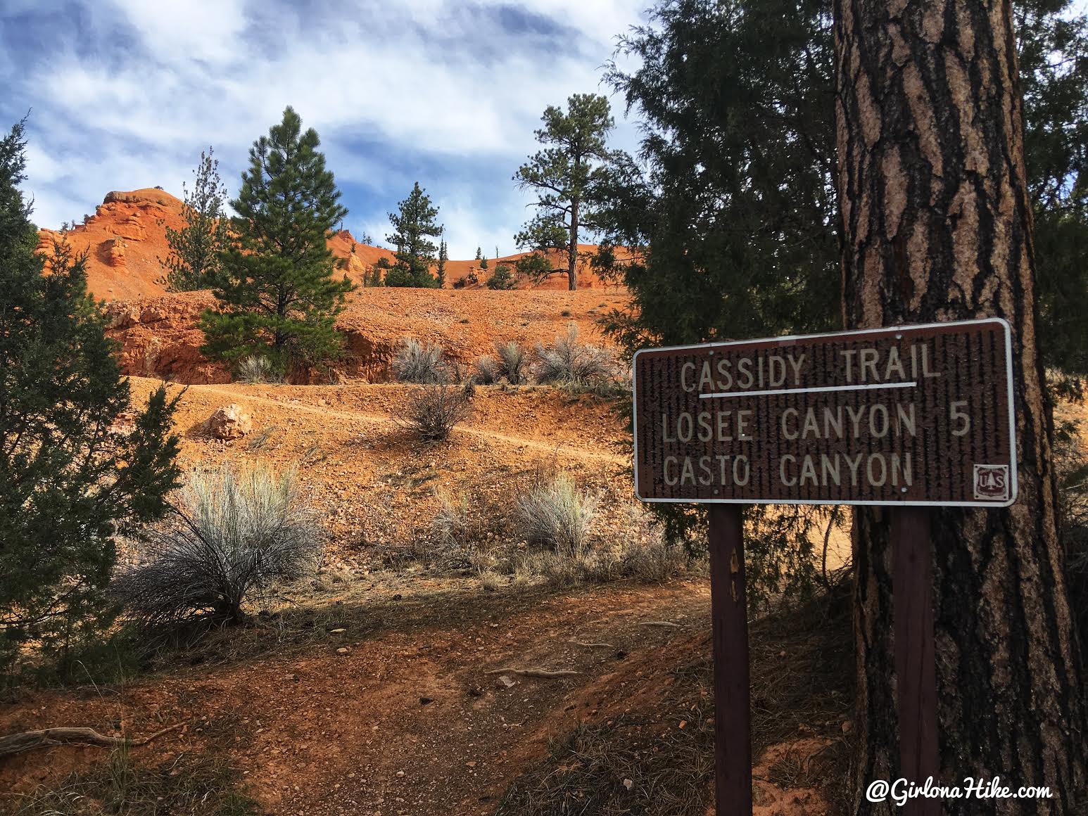
The trail begins in the NW area of the parking lot. If you had a full day, another hiking option is to go all the way to Losee Canyon. We didn’t have that much time, so we created our own 4 mile loop.
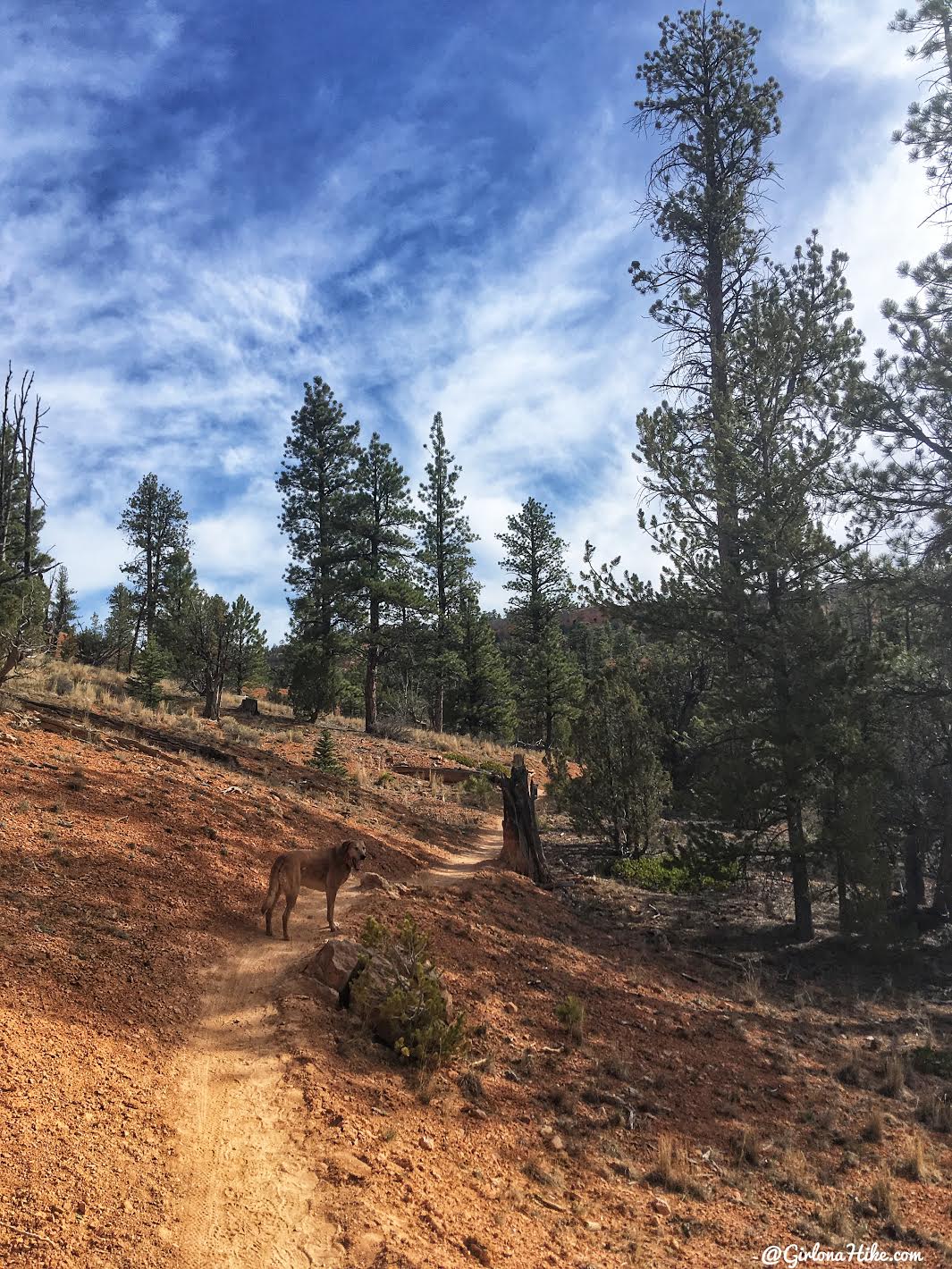
The trail itself is super mellow and easy to follow.
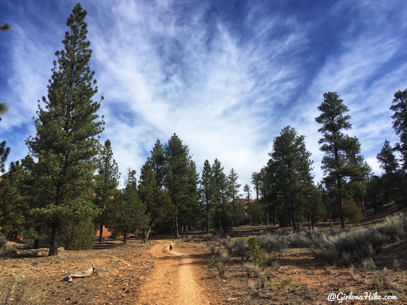
We hiked here early on a Sunday morning, and didn’t see anyone until we started hiking back. Normally, this trail can become quite crowded with other runners and mountain bikers. I highly recommend starting early (before 9am) so that the dogs don’t get too hot, plus you won’t have to worry about moving off the trail as much to let others pass.
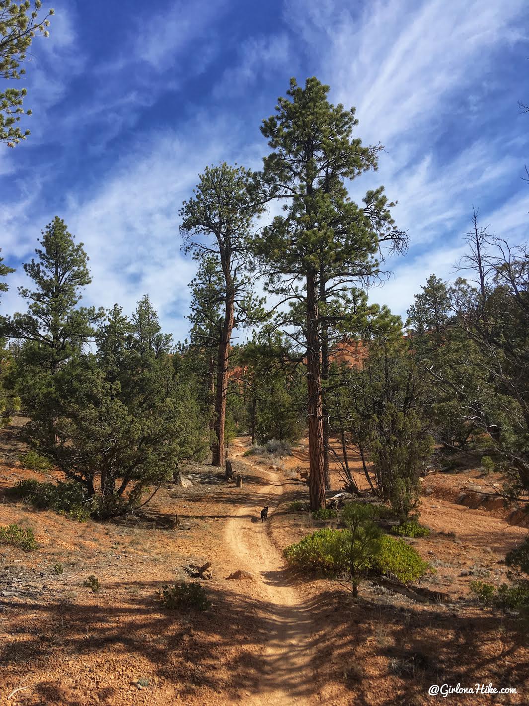
I loved the tall Ponderosa trees!
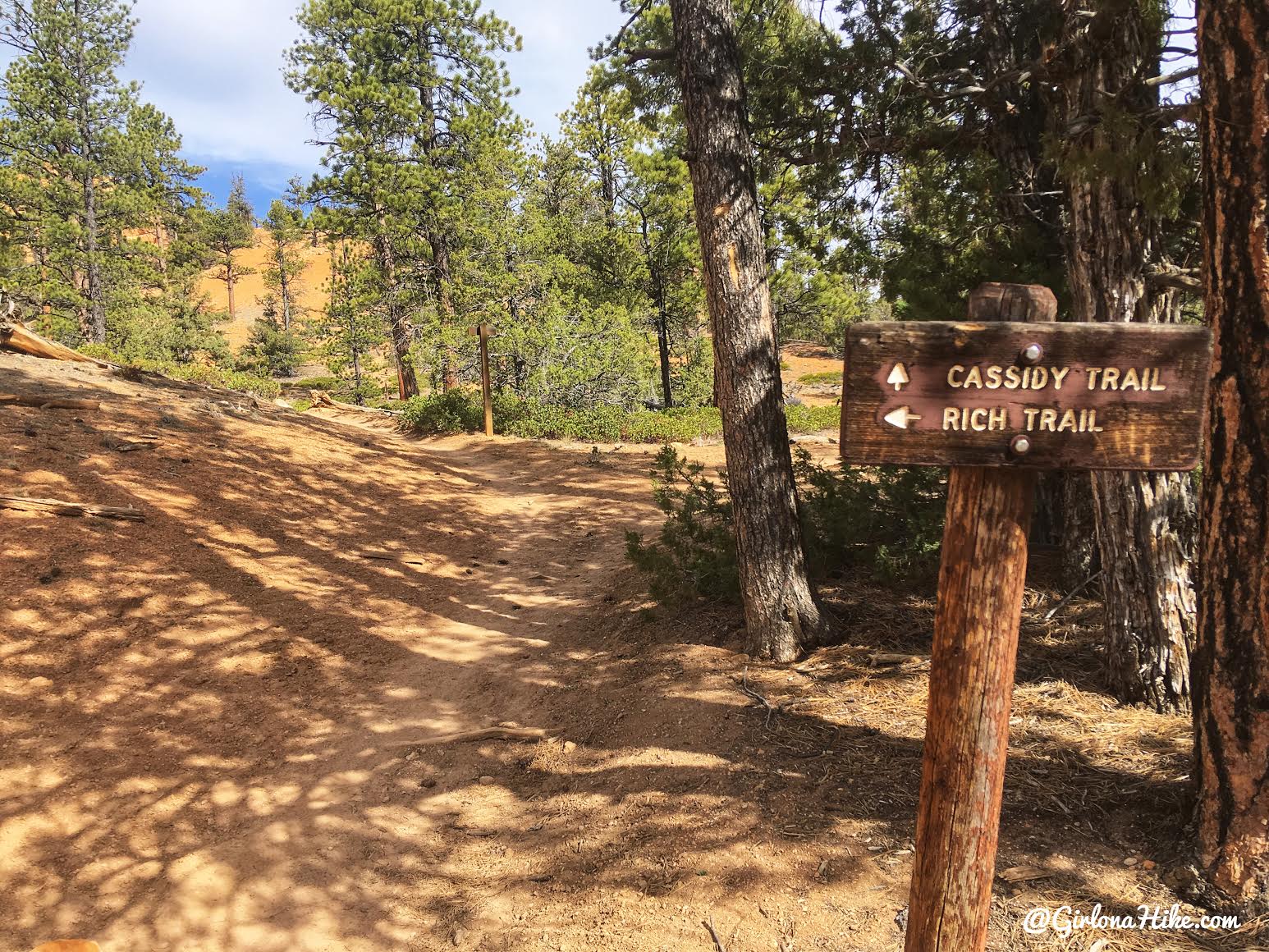
At 1 mile you’ll see the first trail split. We went left for the Rich Trail, which also leads to Ledge Point.
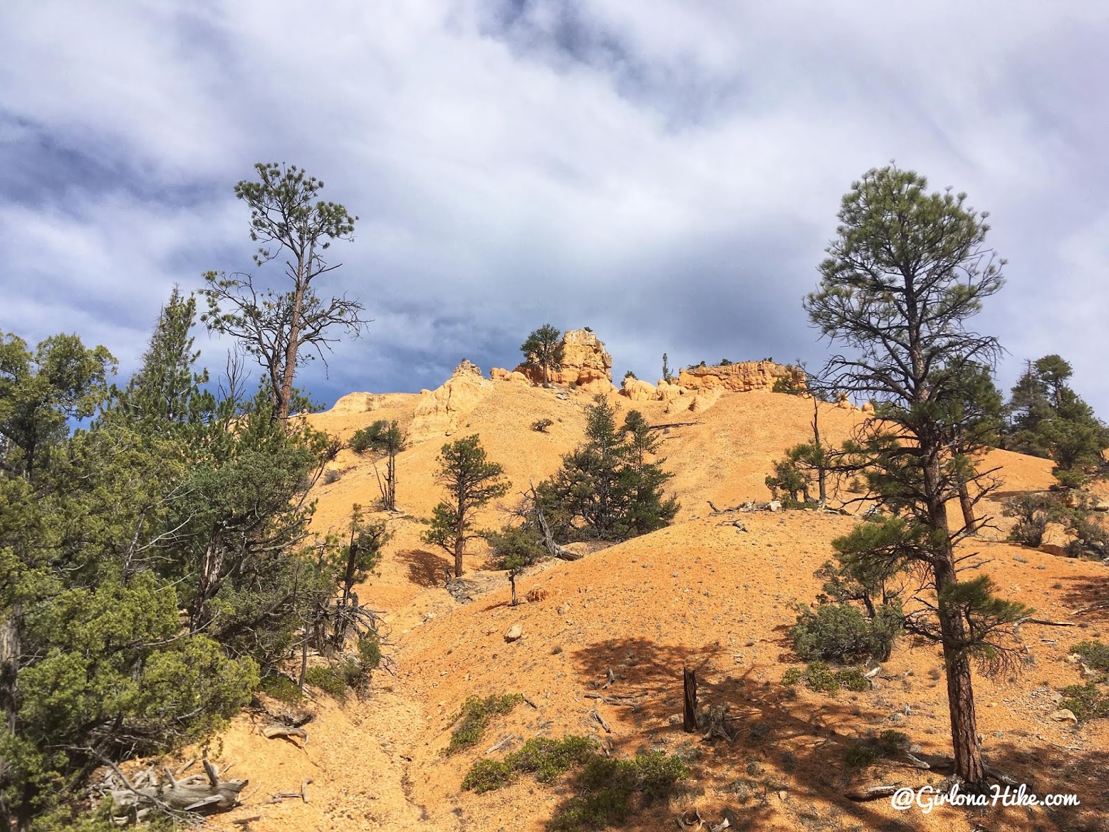
The hoodoos start to appear on the hillside to your right.
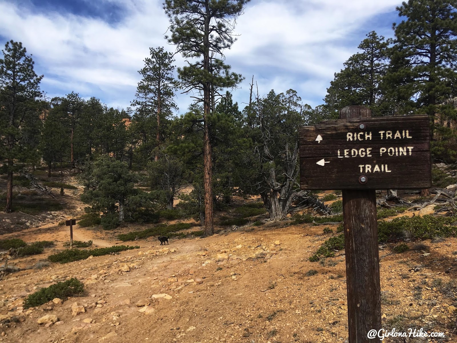
Turn left again for Ledge Point.
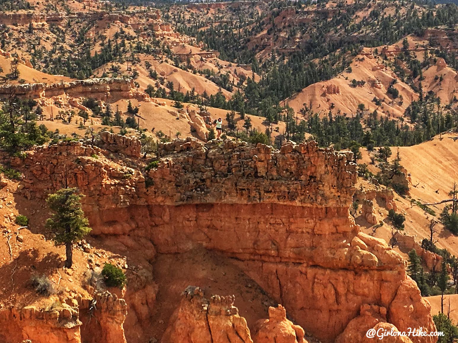
On the way to Ledge Point. If you haven’t noticed from past posts, I can be a dare devil! I love scrambling.
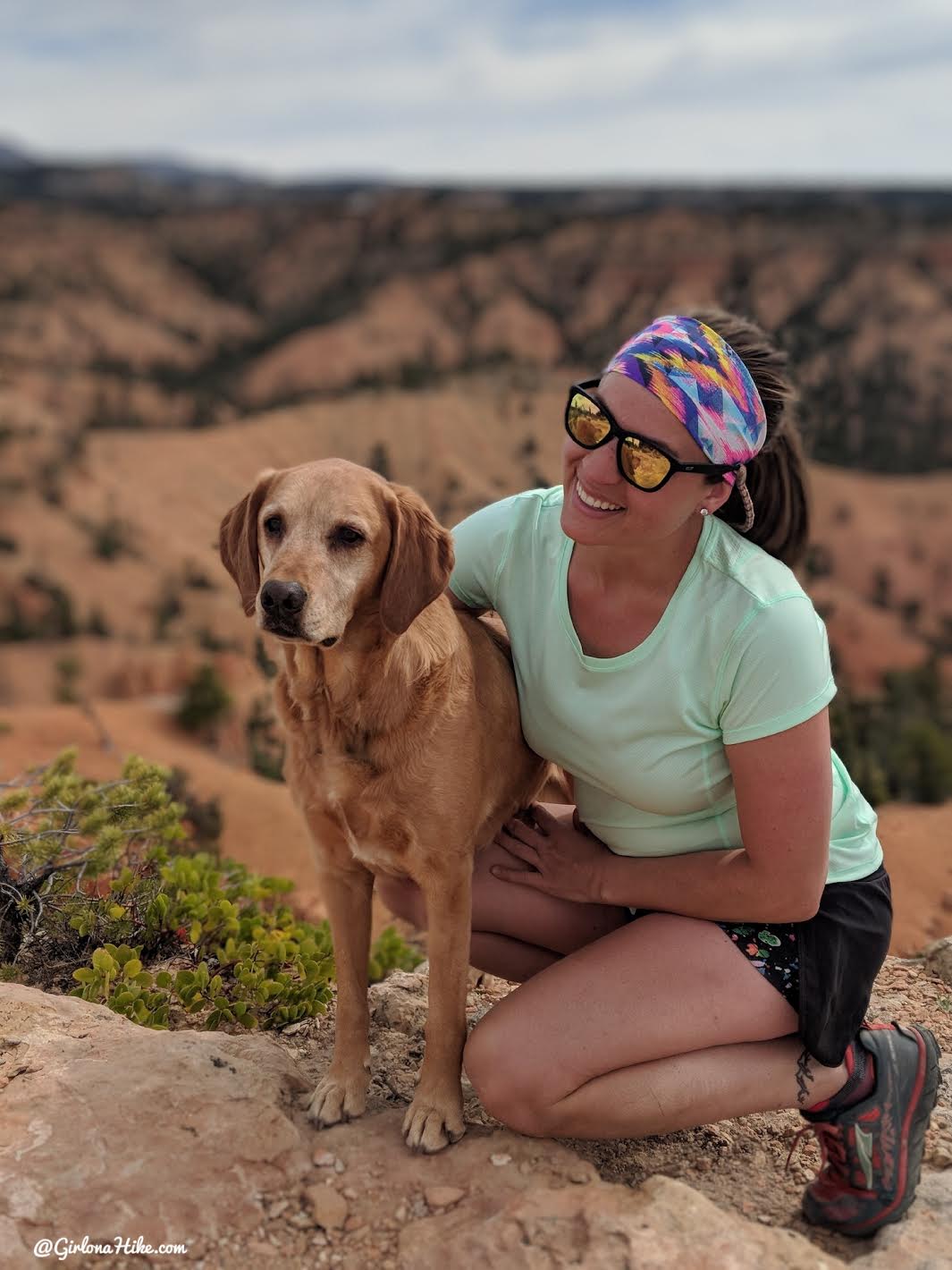
Heather snapped this photo of us – it’s my new favorite!
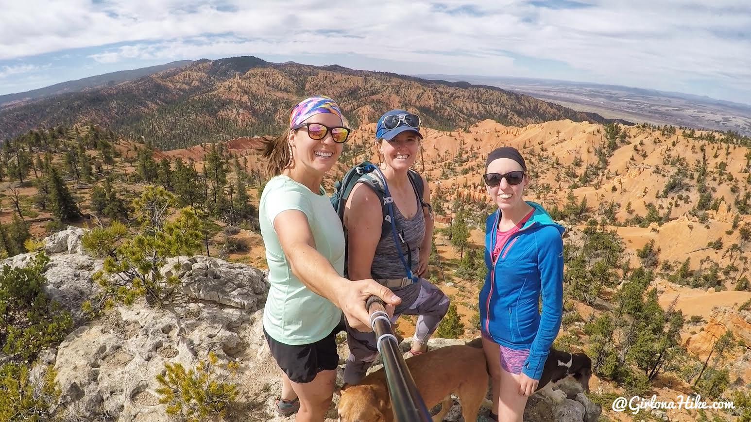
My girls at Ledge Point!
This was definitely the highlight of this hike – views as far as you can see with a mix of red canyon, mountains, and desert. Amazing!
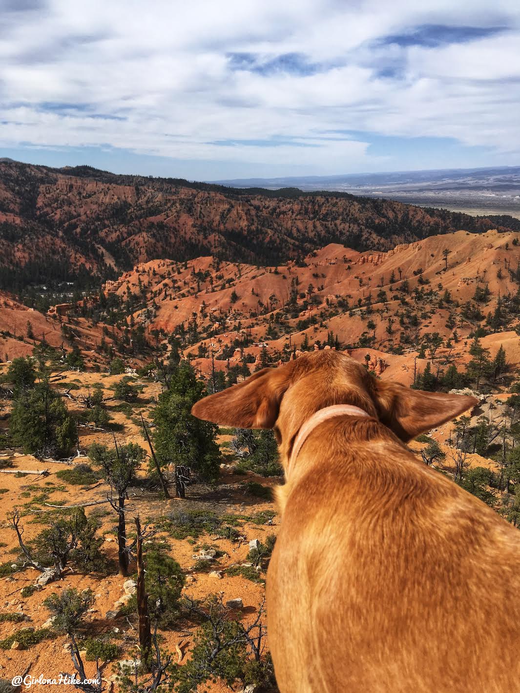
When the hike you are on and your dog match…
Charlie loves the wind in his ears.
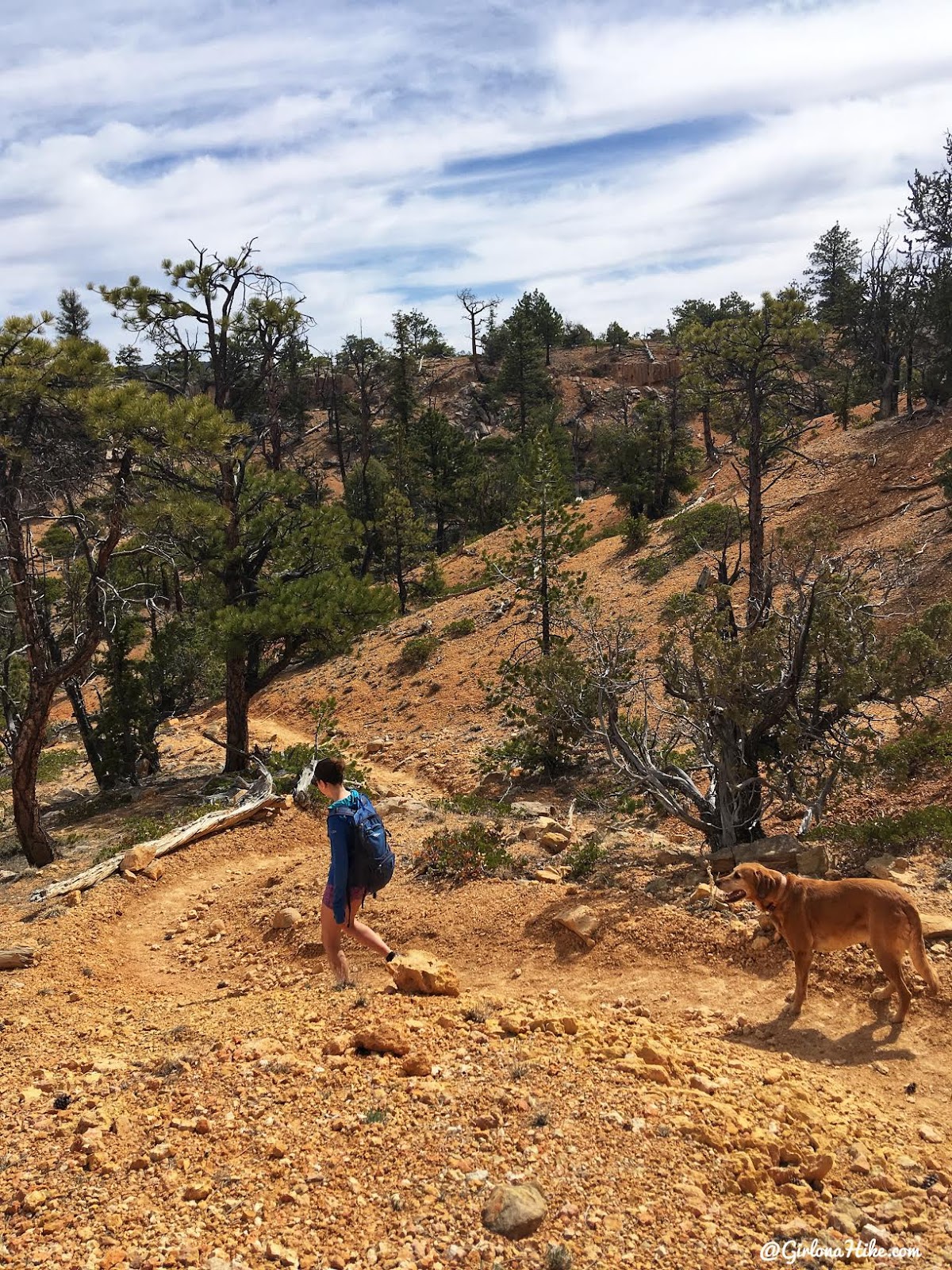
Continue around the loop to meet back up with the Rich Trail.
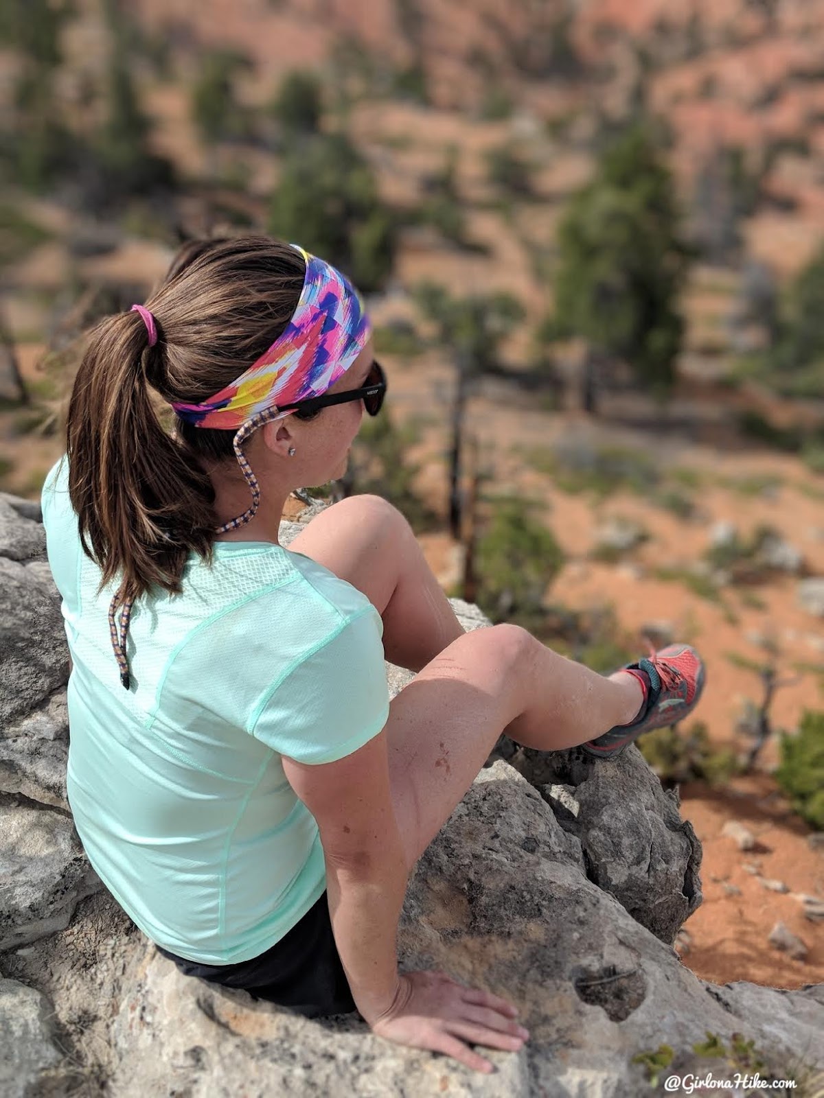
There are so many cool spots along this trail! Heather was quite the photographer this trip.
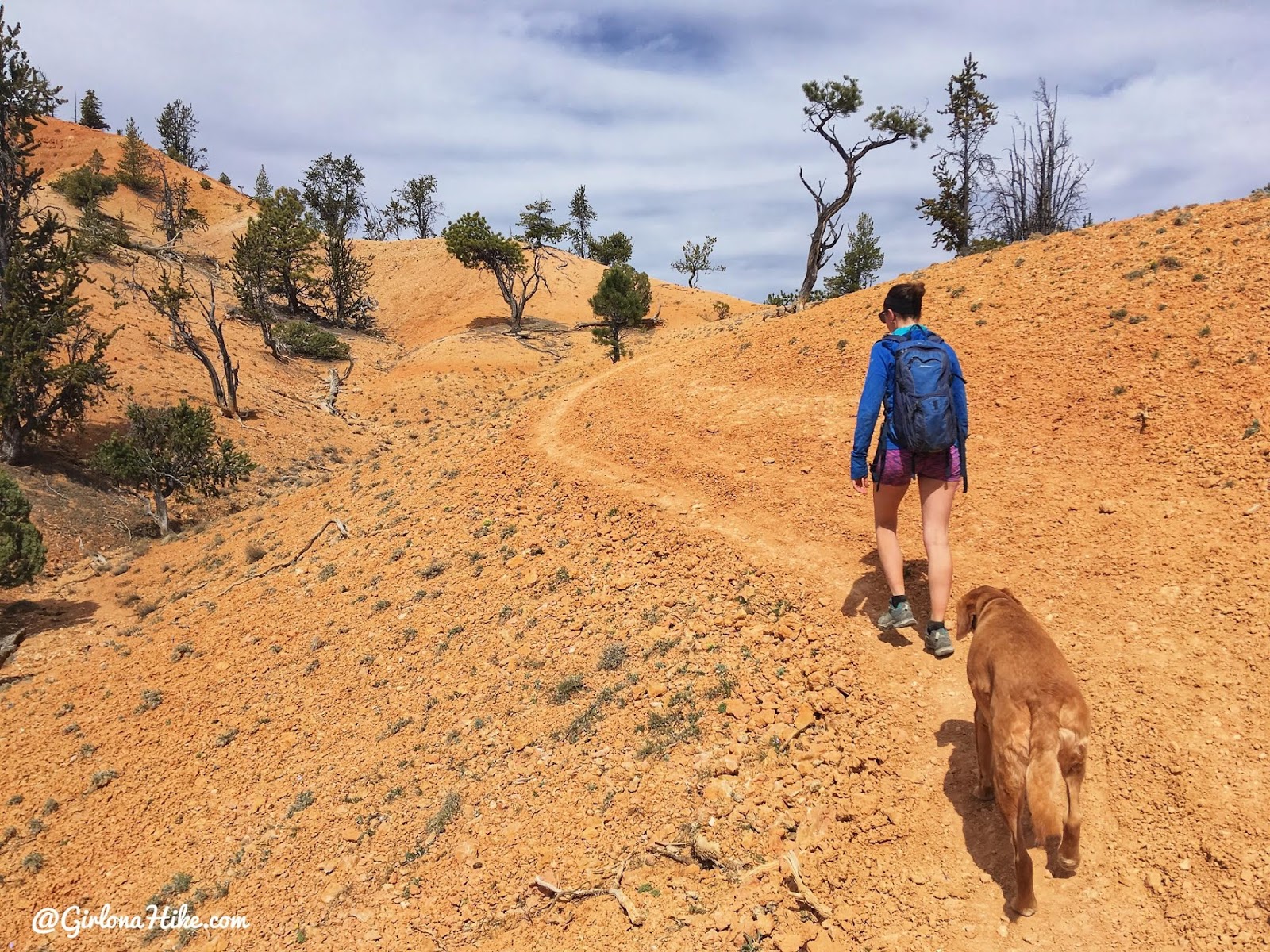
She kept us moving at a comfortable pace too.
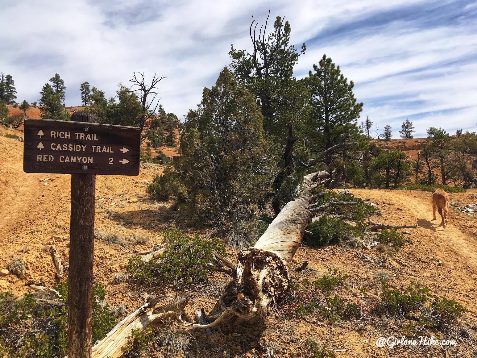
We saw another trail junction, and just looking at the time, we had to start heading back. We had to drive a few hours to get home that night.
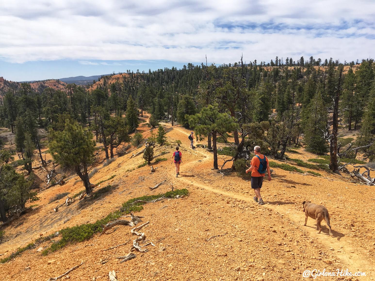
We made our way back down to the cars, and into the trees.
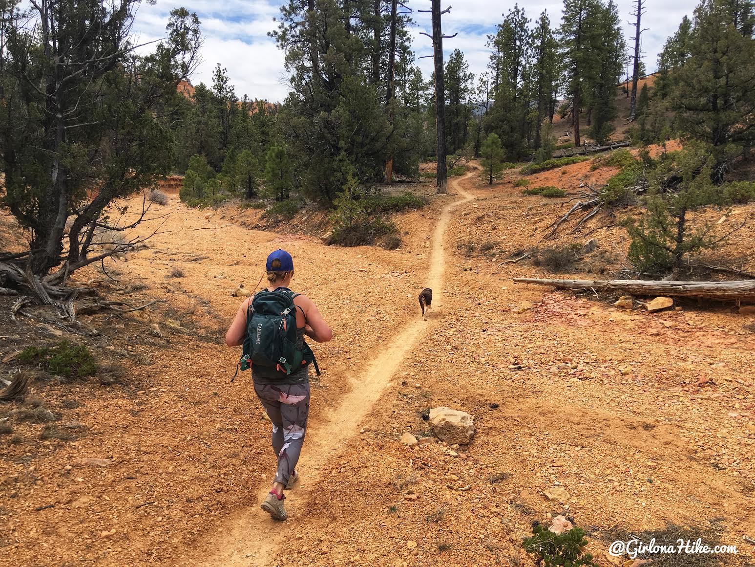
We loved this trail! Hardly any elevation gain, great views, very few people – we will definitely come back and hike all the way to Losee Canyon.
Trail Map
My track via Gaia GPS – the best tracking app! Get your app here for a discount.
Recommended Gear
Nearby Hike

Save me on Pinterest!
