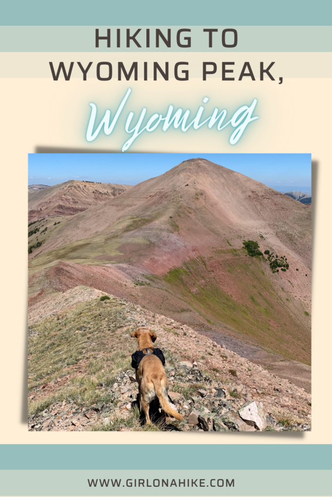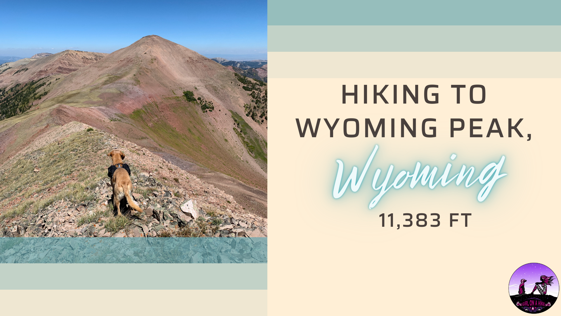
Wyoming Peak (11, 383 ft) is the tallest mountain in the Wyoming Mountain Range, located in West-Central Wyoming. On the summit lies an old fire lookout in shambles, but don’t let that distract from the rest of the breathtaking views!
About
The trail itself is mostly long switchbacks, gaining 2,500 ft in just 4 miles. Sections of the trail are forested with some shade, other sections are fields of sagebrush. However, the last mile opens up and you will be hiking in alpine terrain. This trail has a wide diversity of ecosystems and plants. There is nothing technical with hiking to Wyoming Peak – just plan on it taking most the day, bring plenty of water and snacks, and sunblock! We started out hiking in 36F temps, but by the end of the day my quads were sunburned!
Dogs will enjoy this trail too, but again, bring water for them as there is none along the route. The best time to hike this is in July, August, and September when the roads are completely dry to access the unofficial trailhead.
Directions
It’s easiest to just type in “Wyoming Peak Trailhead” into Google Maps and have it direct you. However, here are written directions:
From the Town of Afton, Wyoming, head south on US-89 for approximately 14 miles and turn left onto Smiths Fork Road/Forest Service Road 10072 (FS-10072). Continue on FS-10072 for 23.5 miles to the Tri-Basin Divide. Turn left (North) at the junction onto Greys River LaBarge Road/FS-10138 and drive approximately 3.5 miles and turn right onto Shale Creek/Kinney Creek Loop /FS-10126. Follow FS-10126 for approximately 3 miles, and then pull off on the side of the road for the “parking area” for Wyoming Peak Trailhead.
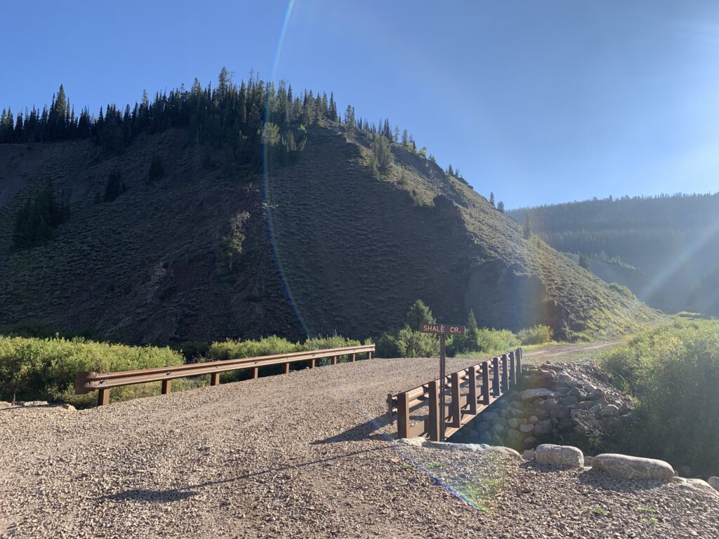
Trail access is begins East of the Trailhead and road next to the brown post. Watch my video below to see what the parking area looks like. You don’t need full 4WD, however I also wouldn’t take a small car. An SUV or larger is suitable when roads are completely dry. This pic below is for the last signed turn off. Right after the bridge the road narrows and gets bumpy.
Trail Info
Distance: 8 miles RT
Elevation gain: 2,500 ft
Time: 5-8 hours
Dog friendly? Yes, off leash
Kid friendly? Yes, ages 12+
Fees/Permits? None
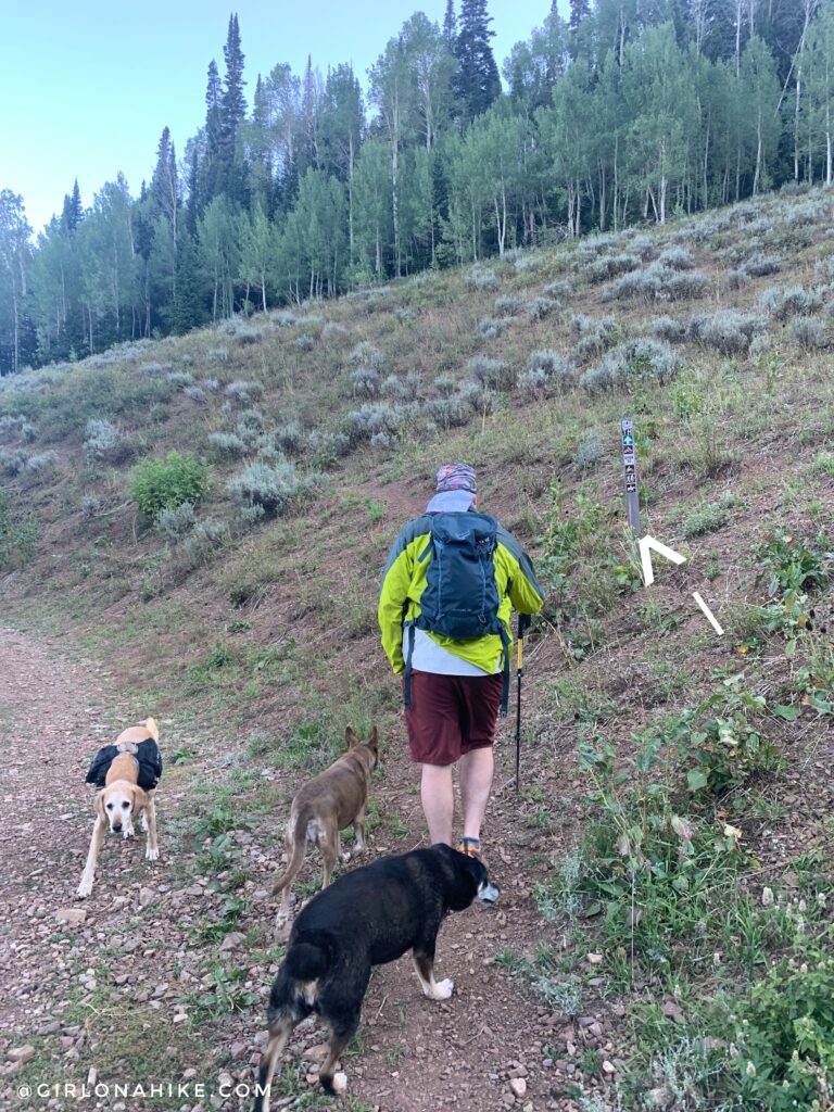
The trail begins on the East side of the bend in the road, marked by a brown post. We started hiking around 8:45am and it was 36F – in August!
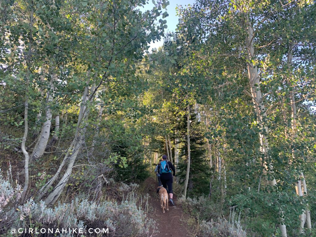
You’ll wind your way up several switchbacks. The steepest sections are the first 1/4 mile and the very last 1/4 mile to the summit. I bet these Aspen trees would be so pretty in Fall!
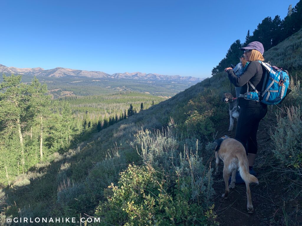
Stopping to catch our breath and take in the view. With how smoky our Utah summers are now from all the CA/OR fires, I thought for sure this area was going to be just as bad. We timed to right to be above the fire smoke line and it was gorgeous!
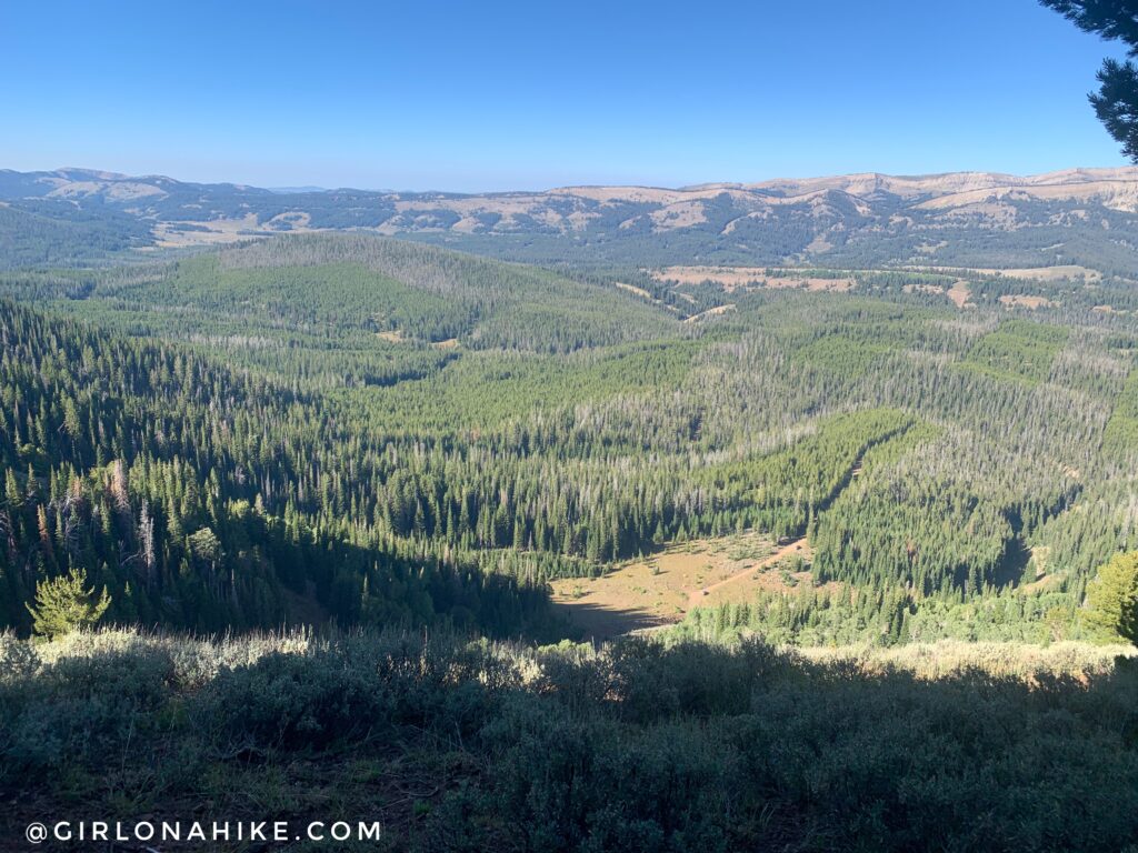
The photos don’t do it justice with how pretty it is. Notice the two cars along the road below? That’s the trailhead!
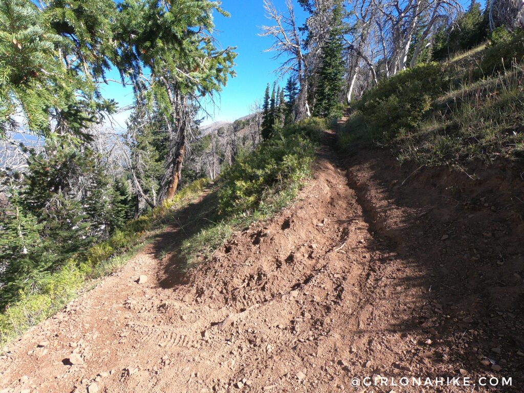
Lots of switcbacks. At times it is a very dusty trail. There were also lots of dirt bike tracks which I found odd for this area.
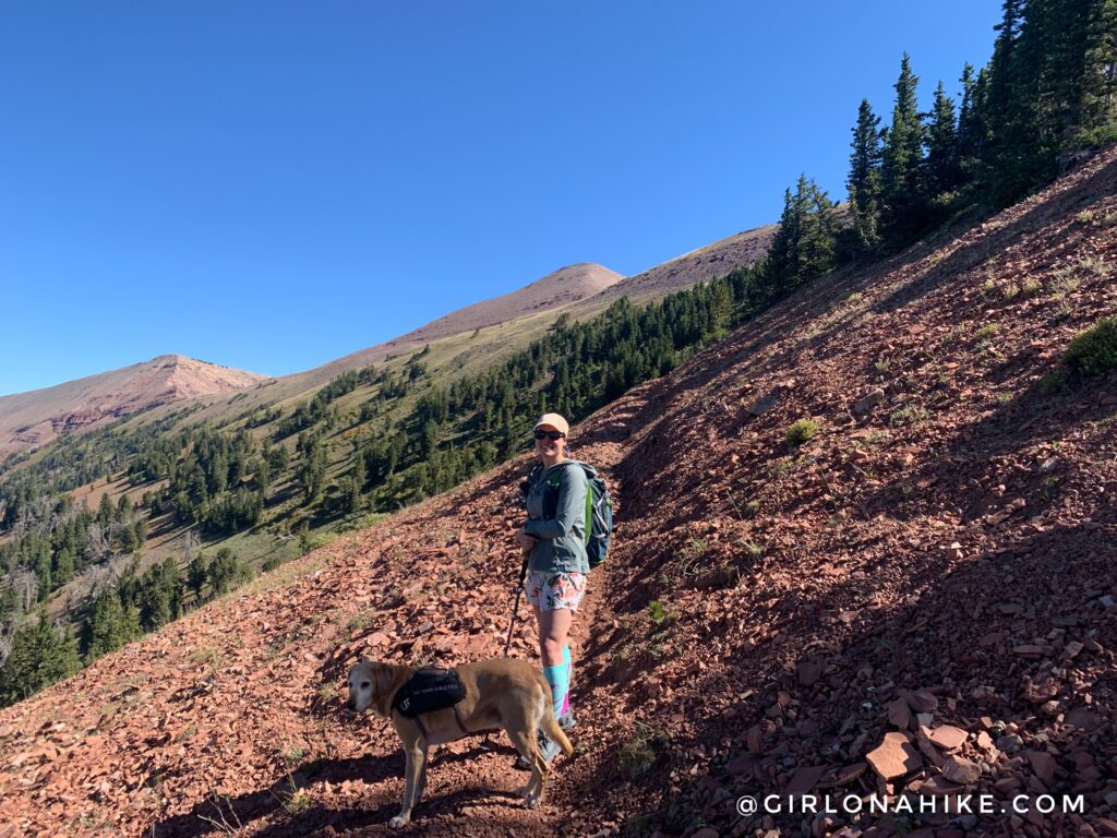
Finally, a view of our destination! The peak directly above my head is Wyoming Peak, and Mt.Coffin (2nd highest peak in the Wyoming Mountain range) is to the left. This last mile was my favorite section.
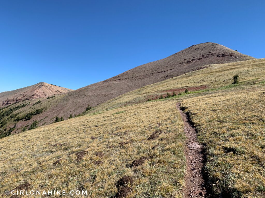
Almost to the saddle. Wow, it looks so close now! We hiked this on a Saturday and only passed one other person right here (he was coming down already) the entire day.
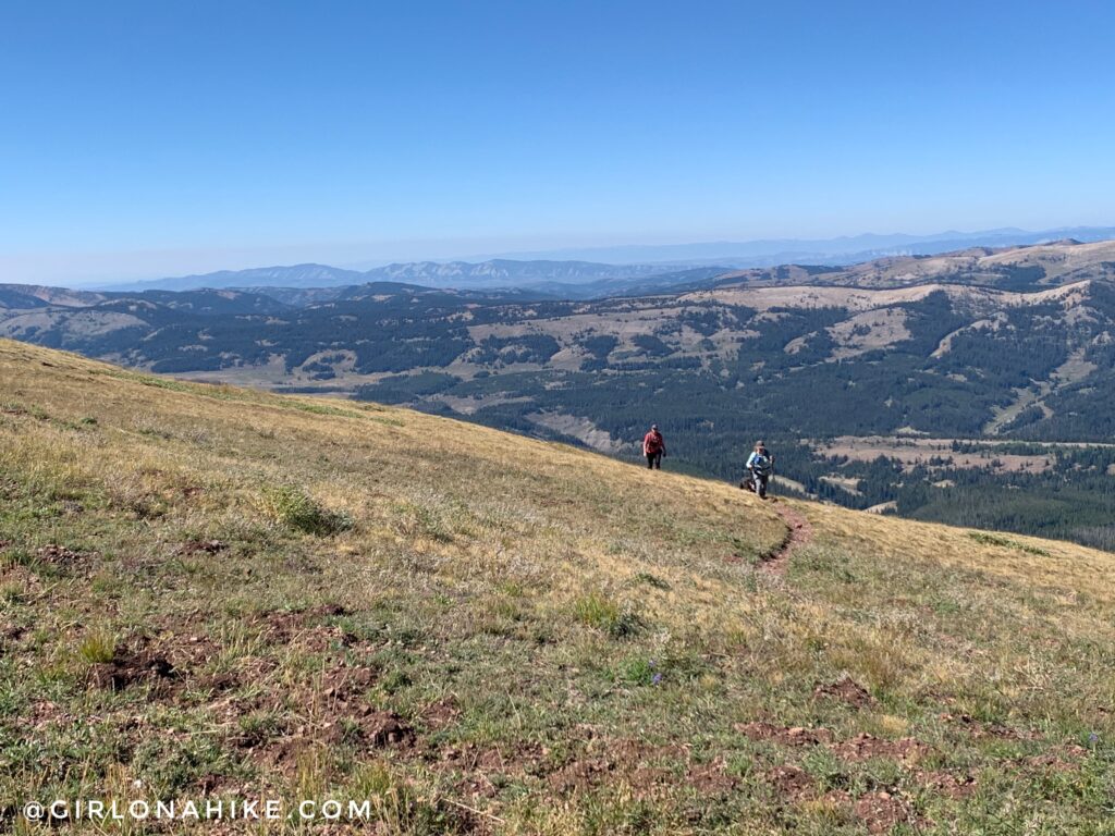
Don’t forget to look back!
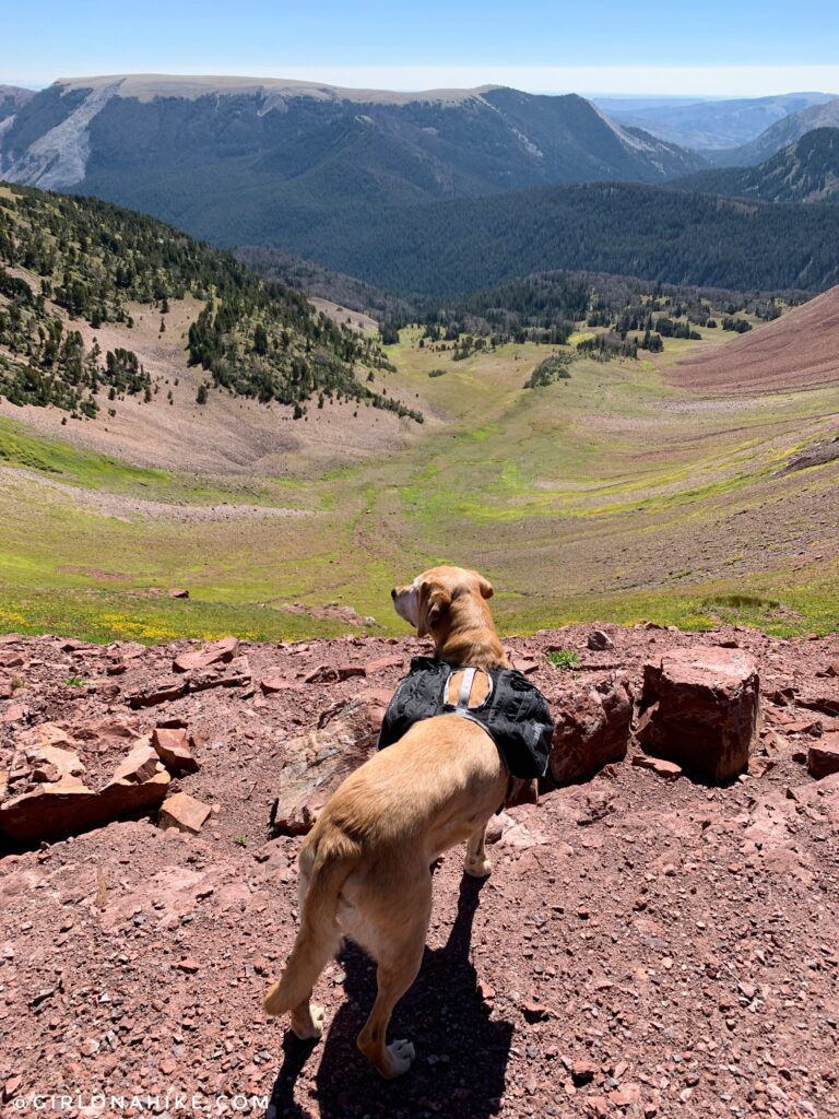
At the saddle! When you reach the saddle, hike over further past the trail to a ledge. You’ll have this amazing view down into the basin. This was Charlie’s first time testing out his new water-only backpack. Ultimate Direction makes this “dog vest” and it’s perfect for dogs to carry 1 liter of their own water. It even comes with an ultralight dog bowl! He did great with it, and didn’t have any armpit rubs afterwards from wearing it all day.
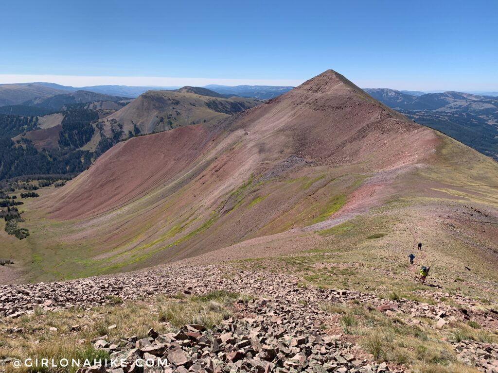
Time to continue along the trail. Mt.March Madness is the peak just to the south. When we got to the saddle I just knew I would have to hike to that peak as well. But first, Wyoming Peak…
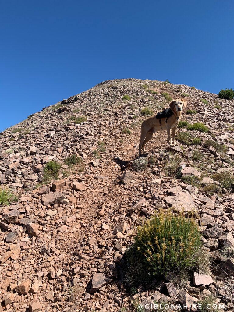
As mentioned before the last 1/4 mile is very steep, and this time with loose rock. Be careful with your footing.
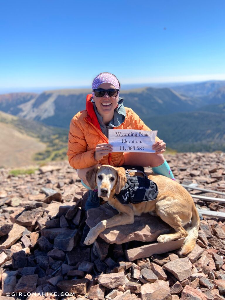
Whoohoo we made it! Inside the summit register was a peak sign so we had to take advantage of using it in our pic!
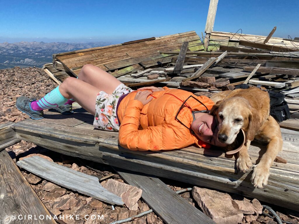
The “what really happens on the peak” photo haha! Summit snuggles on the old fire lookout structure. Watch out for screws and glass – it was everywhere!
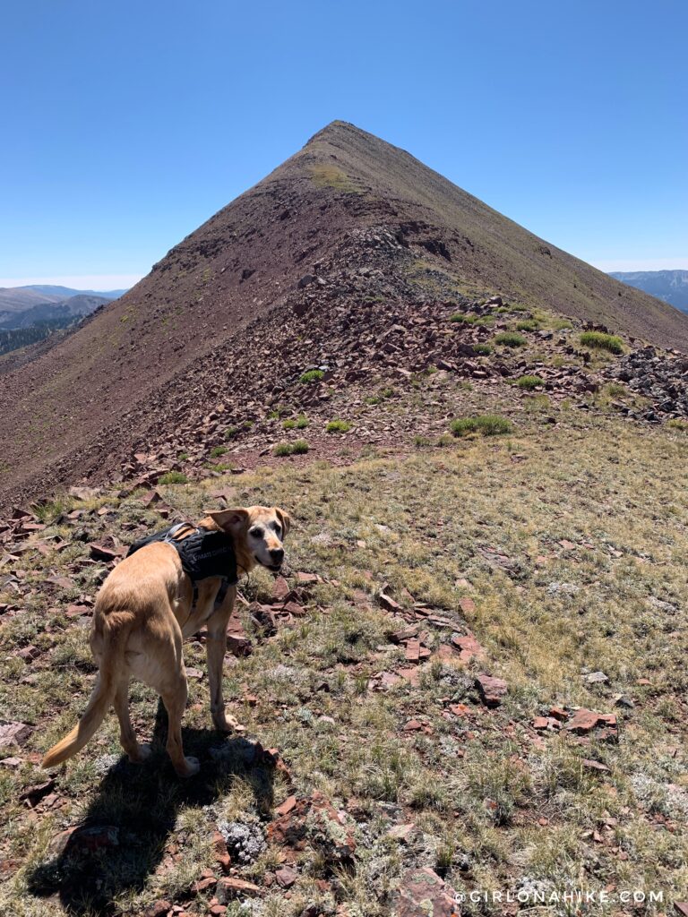
I was still feeling pretty good, so Charlie and I made our way over to Mt.March Madness. There isn’t an official trail but I definitely saw a faint trail in sections. When it doubt, just stay on the ridge.
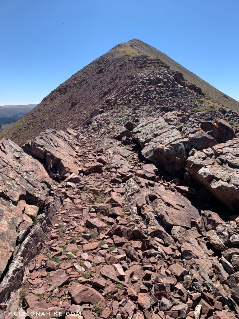
Very cool, rocky section along the ridge. It seemed like a perfect path!
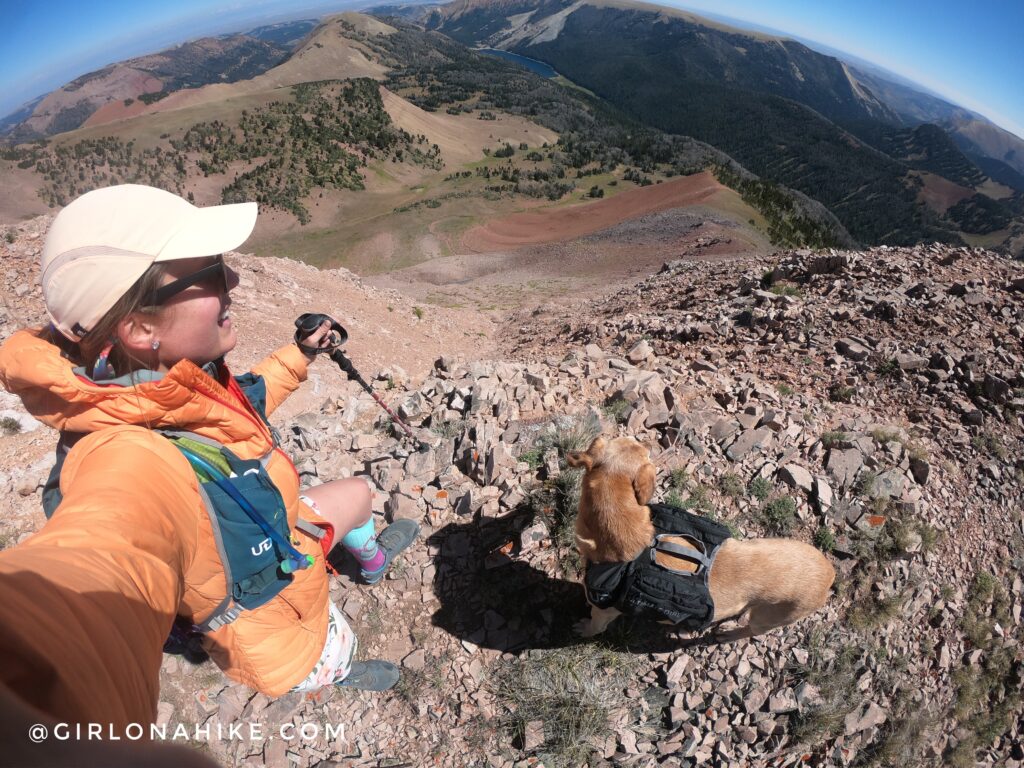
2nd summit of the day – Mt.March Madness (11,220 ft). The big lake below is Big Piney Lake.
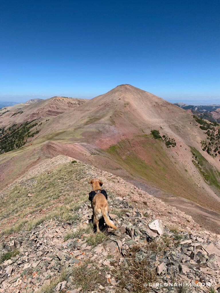
Looking back to Wyoming Peak.
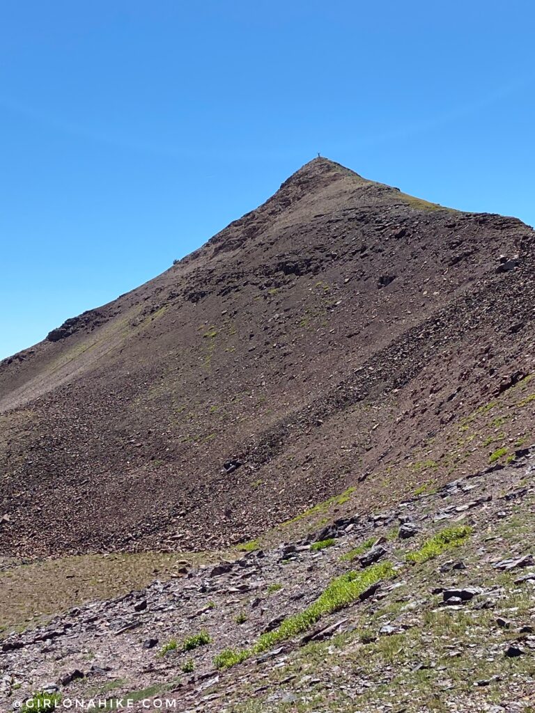
My friends waiting for me on the saddle – can you see my tiny stick figure on the summit?!
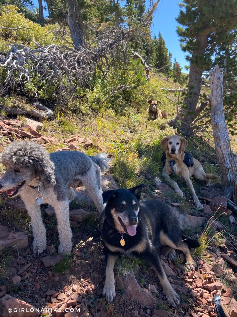
The dogs were ready for some shade! They all did so well and had a blast exploring a new trail together.
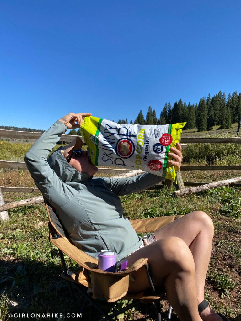
Hiker Hunger is real! My friend brought a bag of Skinny Pop Popcorn for the weekend and it was my first time trying it. Wow, it was good! You can get this giant bag at CostCo for about $6 or mini bags on Amazon. We stayed at the La Barge Guard Station – it was a perfect spot for “Camping” close to the Wyoming Peak TH!
Check out my video on Lodging at the La Barge Guard Station!
Check out my video on Hiking to Wyoming Peak!
Trail Map
My track via Gaia GPS – the best tracking app! Get your app here for a discount.

Save me on Pinterest!
