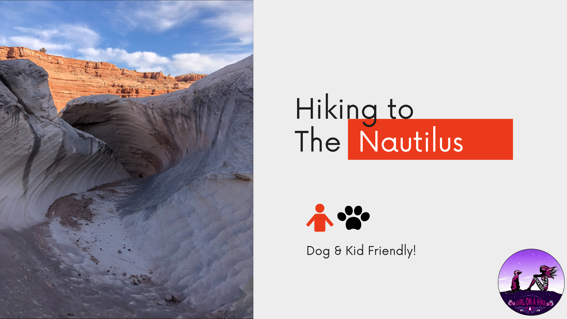
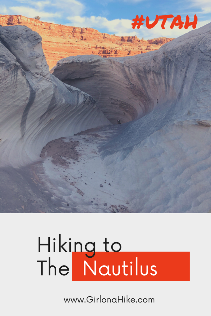
The Nautilus is a delicate and beautiful rock formation made of wind and water eroded sandstone, at the edge of a small ravine near the Paria River, a mere 9 miles Northeast of The Wave. The Nautilus is an outcrop of a soft, thin-layered rock with a rippled surface texture, with the formation of a corkscrew-like gully. It’s reminiscent of a conch shell, hence the term nautilus.
About
The Nautilus is a very fragile formation, and caution is advised when visiting. Please don’t break off or damage the rock! You also don’t want to stand right on the top portion of the rock, as that is the thinnest layer. The Nautilus is a great place for photography, as even the surrounding area is beautiful, especially in early morning or late afternoon light on clear, blue bird, days. The rock has splashes of red, yellow, and orange to add color to the surrounding white and grey sandstone.
Because this “hike” is so short (it’s more of walk), it’s great for kids to explore and learn about the geology, and the importance of leaving no trace when exploring. Dogs are also allowed off leash here. Though it may be tempting, once again, do not allow kids nor dogs to stand on the very top of the rock formation. Keep in mind that there is no trailhead nor signs for The Nautilus.
Camping is available at The White House Trailhead & Campground, only 0.5 miles past The Nautilus parking area.
Directions
If you are driving from Kanab, UT use this map.
If you are driving from Page, UT use this map.
Trail Info
Distance: 1 mi RT
Elevation gain: flat, 87 ft
Time: 1 hour
Dog friendly? Yes, off leash
Kid friendly? Yes
Fees/Permits? None
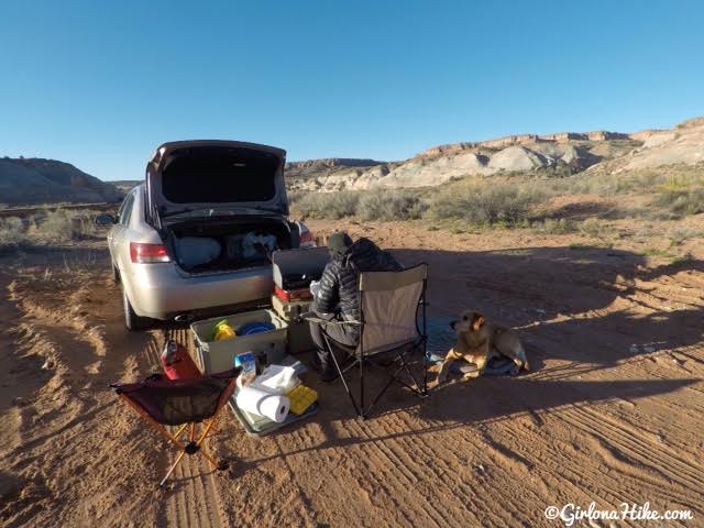
To get to the parking area to begin your walk, drive down the dirt road past the BLM station for 1.5 miles. You’ll cross two washes – immediately after the 2nd wash you’ll see a small pullout on the right side of the road that can fit 2-3 cars. This is where you’ll want to park and start hiking from.
The previous night we both work up around 3:30am and couldn’t get back to sleep. We decided to head over to the “trailhead” and make breakfast. It was still a bit chilly, but bacon and eggs sure does warm your belly!
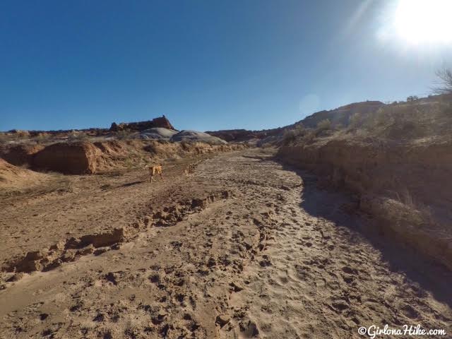
To get to The Nautilus, follow the wash East. You’ll see a “No Vehicles” brown post sign.
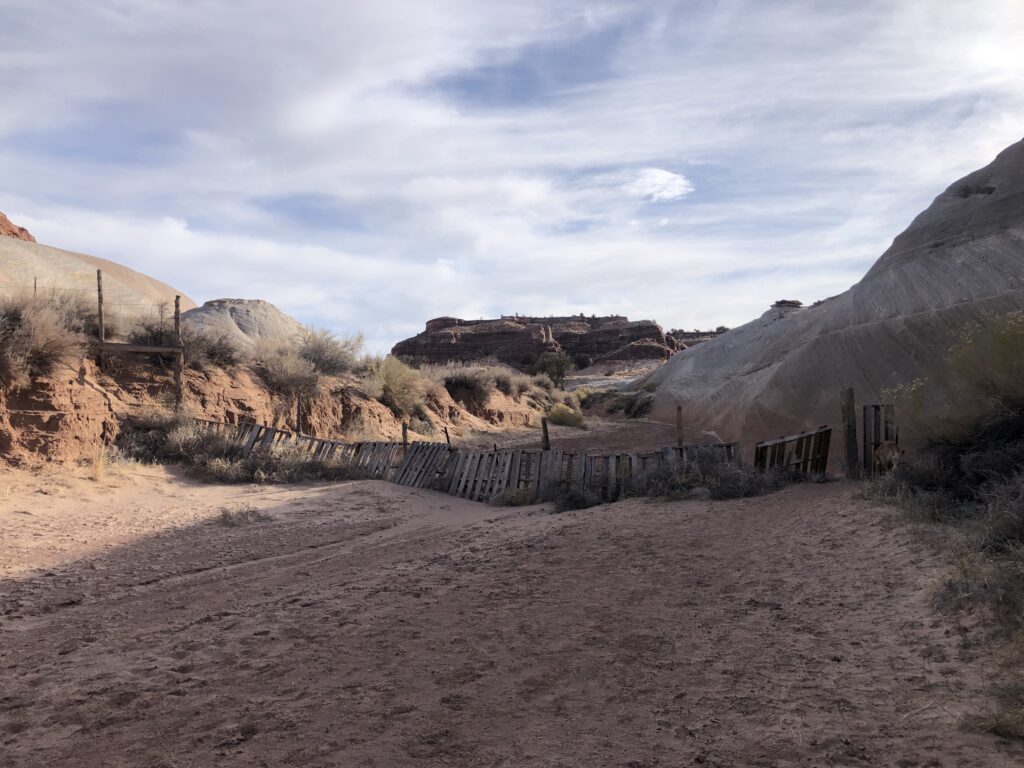
Pass by a fence.
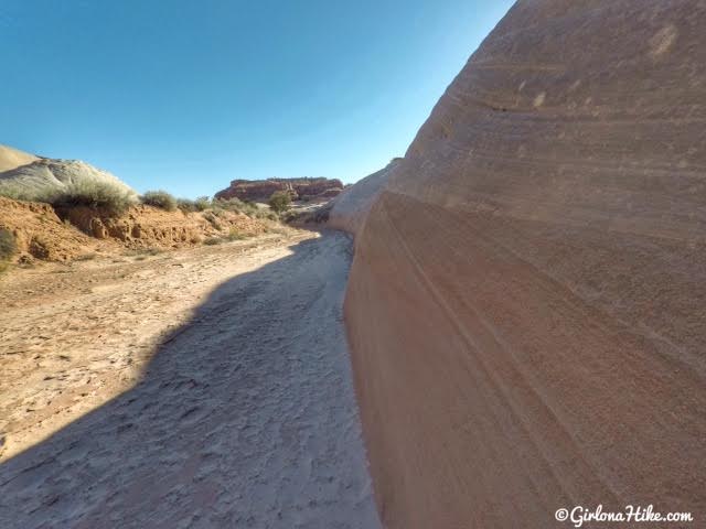
The sandstone here is so pretty and smooth.
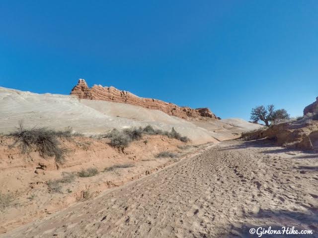
You definitely don’t want to hike here during or right after a rainstorm. You hike in the wash the entire time, and flash floods are a real danger.
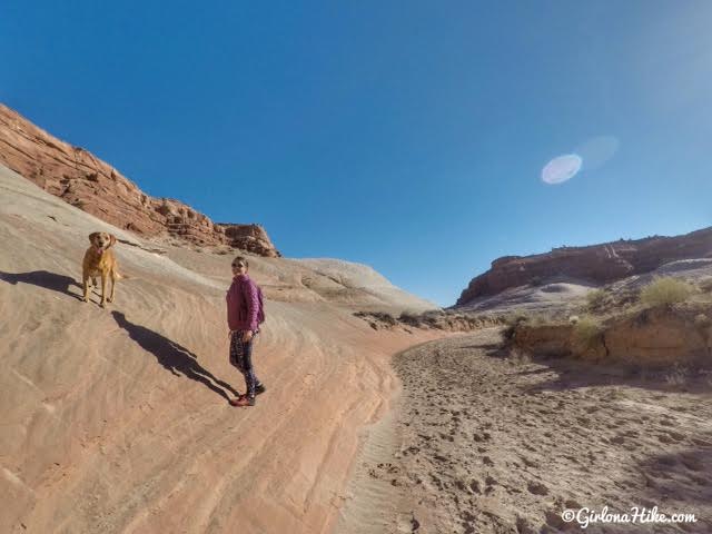
Exploring the wash and sandstone with Charlie.
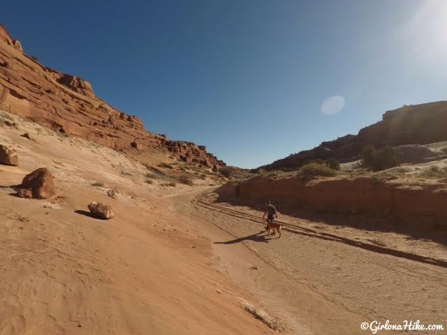
Continue up the wash for about 10 minutes. If you reach a point where the wash splits North and Northeast, you went too far.
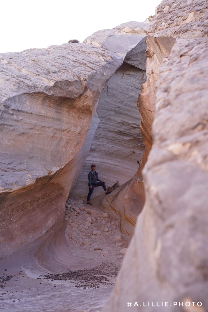
Most likely, you’ll reach The Nautilus from the lower end first. It looks like you would be entering a slot canyon. Photo by @a.lillie.photo
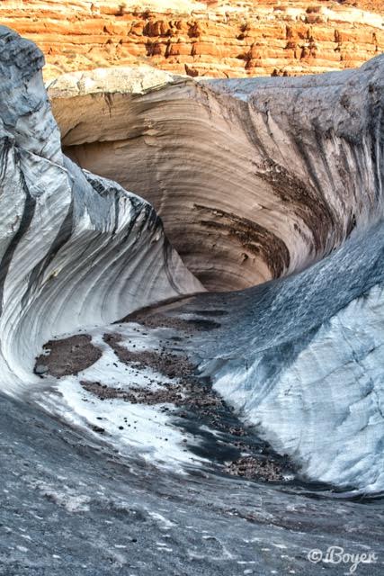
Wherever you hike, make sure to look back. There it is! Photo by @iBoyer
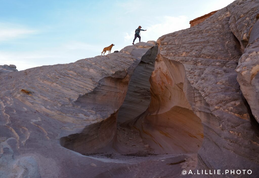
This is a great little spot to explore, and should only take you 15-20 minutes to find. Photo by @a.lillie.photo
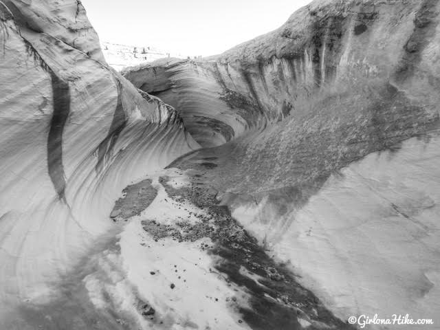
It’s almost dizzying to stare at it – the swirls and colors are mesmerizing.
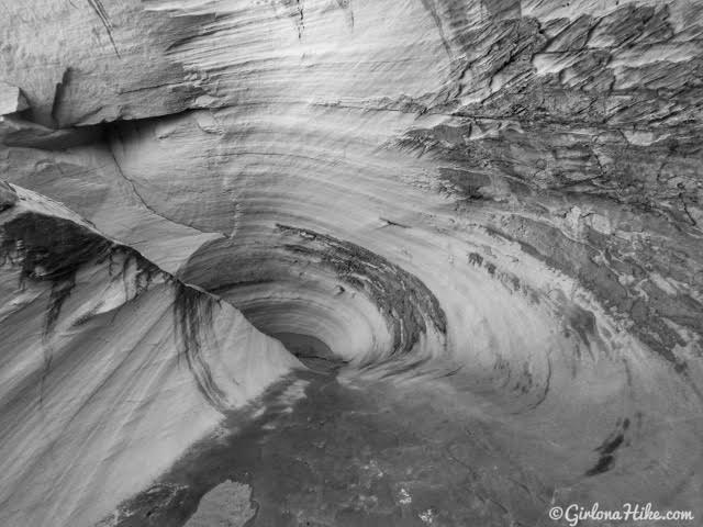
Close up of the inner most swirl.
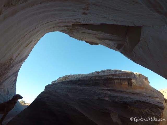
In the middle of The Nautilus, looking up.
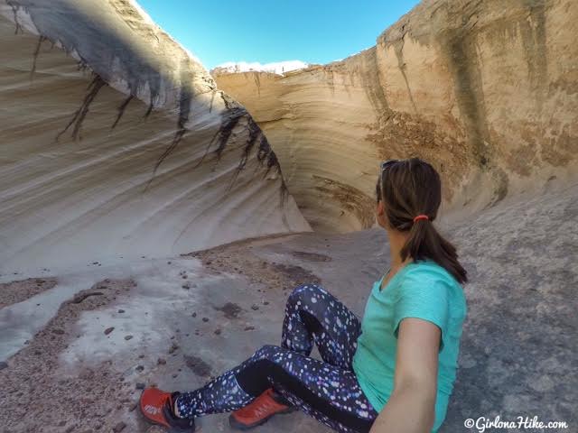
The height of The Nautilus is actually quite tall, maybe 10-12 feet high.
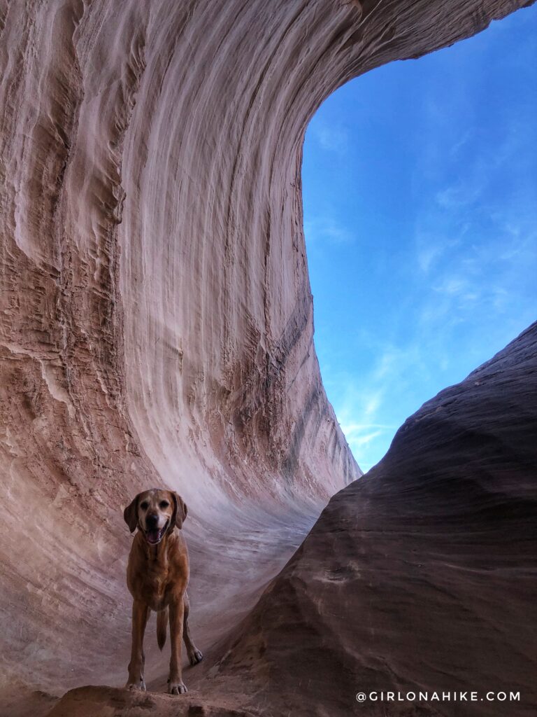
Back at The Nautilus, just with a whiter face and still as happy as can be!
Trail Map
My track via Gaia GPS – the best tracking app! Get your app here for a discount.
Nearby Hike
Hiking Catstair Canyon, Stacked Cars near Lake Powell
Also check out…
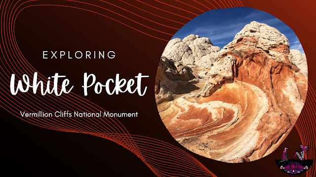
Exploring White Pocket, Vermillion Cliffs National Monument

Save me on Pinterest!
 38
38


