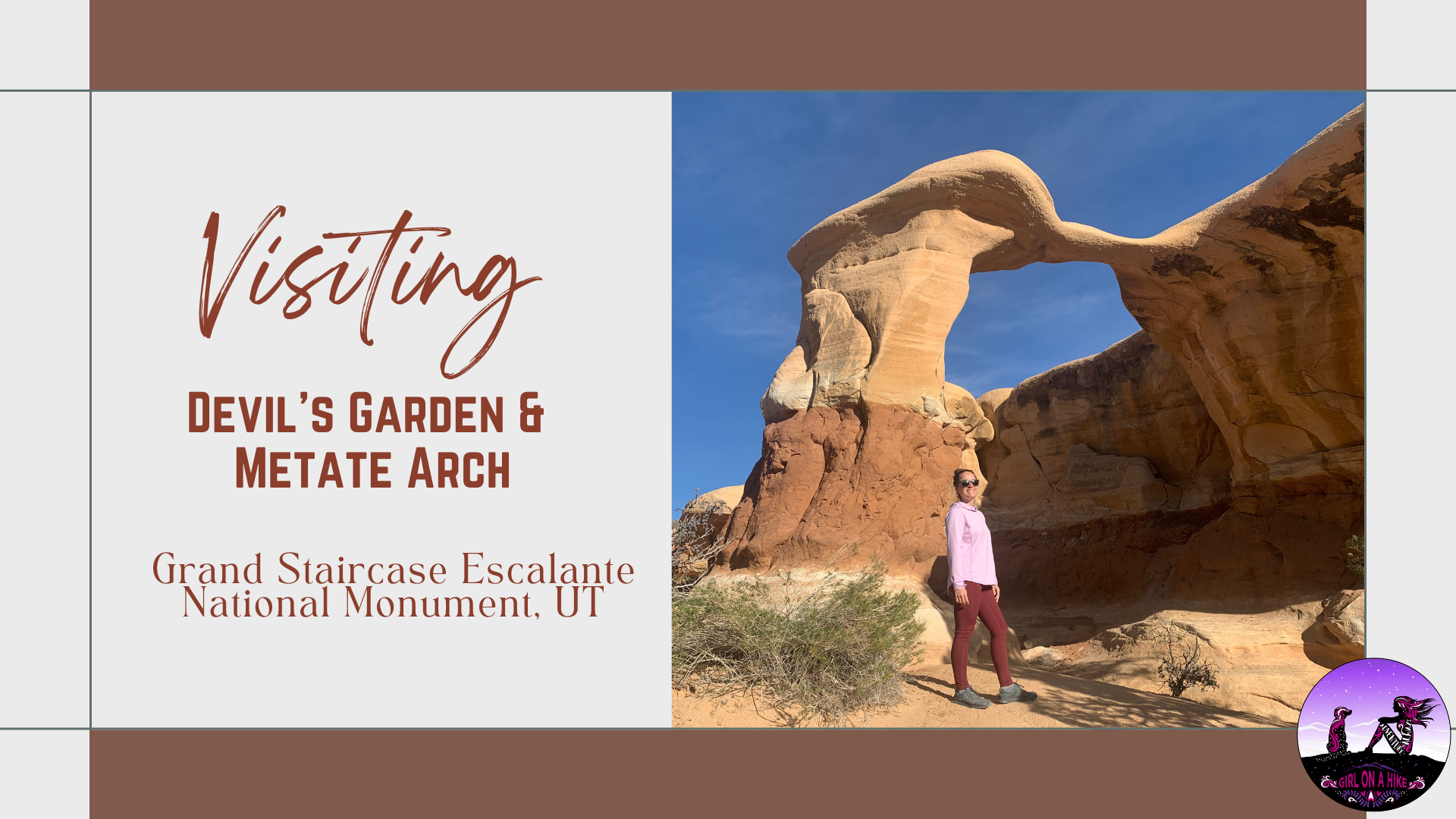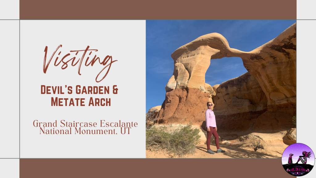
Devil's Garden is apart of Grand Staircase-Escalante National Monument, and is home to Metate Arch as well as hoodoos. Not to be confused with The Devils Garden Loop Trail in Moab, this area is only 640 acres and is part of a Wilderness Study Area, for the purpose of possible wilderness designation; however, wilderness status was not recommended by the BLM back in 1991. One of the reasons state was that the existing roads, parking lot, picnic tables, and port-a-potty are all in close proximity to a natural area. The second reason was the likelihood of several groups of people coming to this area at the same time to the same formations (all of which are within a 2 minute walk from the trailhead). Both of those reasons diminish the wilderness experience of solitude.
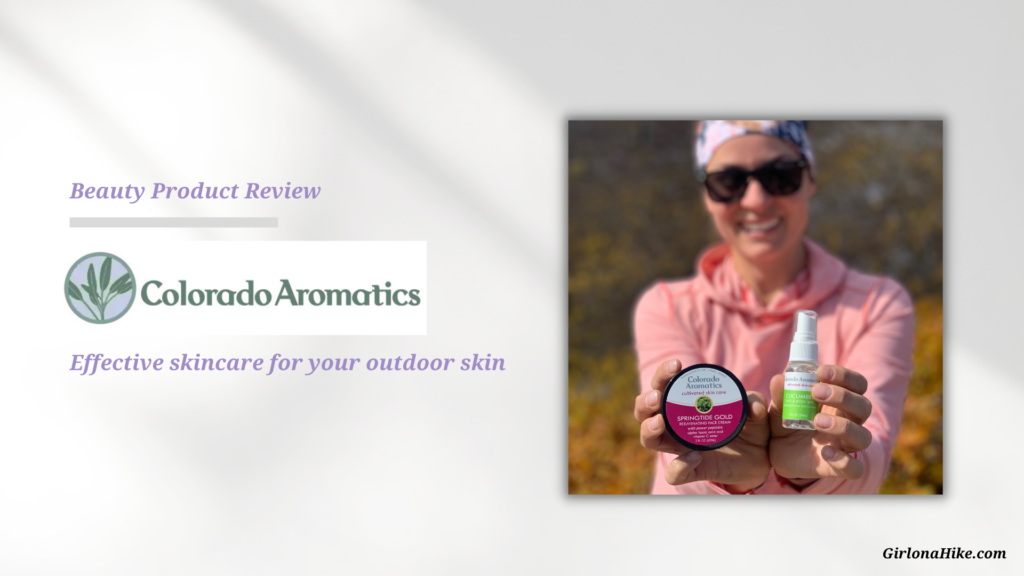
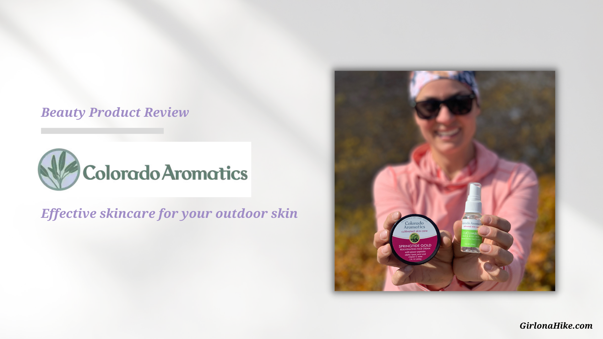
Colorado Aromatics Cultivated Skin Care is a handcrafted skin care line that specifically addresses the needs of high altitude, arid climate and windy conditions. With winter right around the corner, Utah's weather has gotten even drier the last few weeks and I was in need of a product for my skin that could handle rough conditions. Based in Colorado, this skin care company combines the best of traditional herbal knowledge with modern science so that you can have the best skin care products to maintain vibrant, nourished skin.
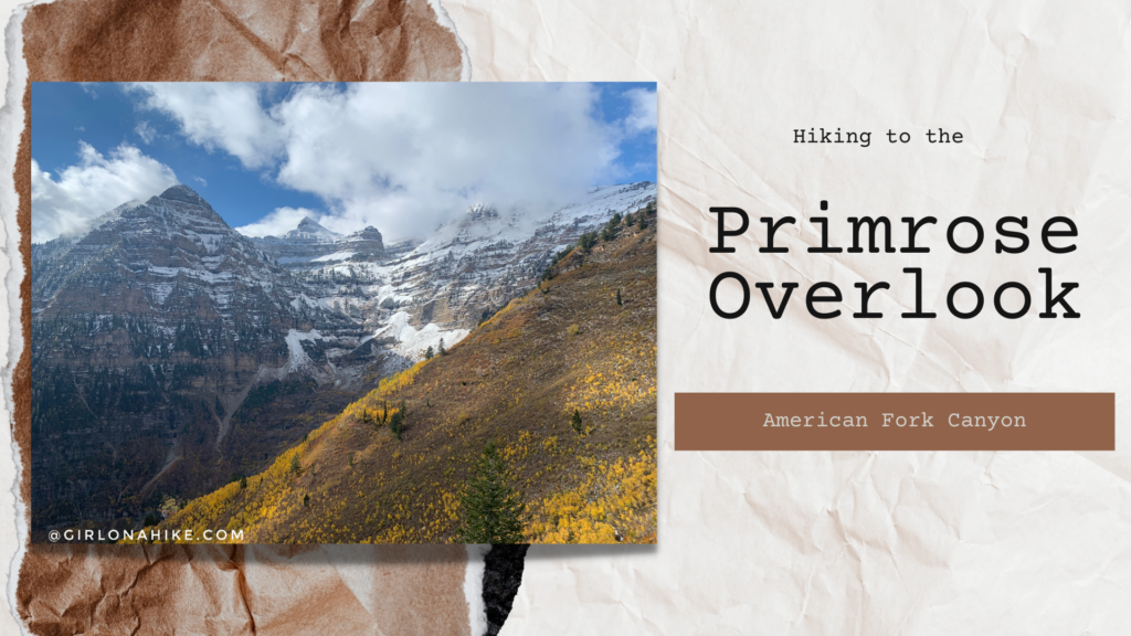
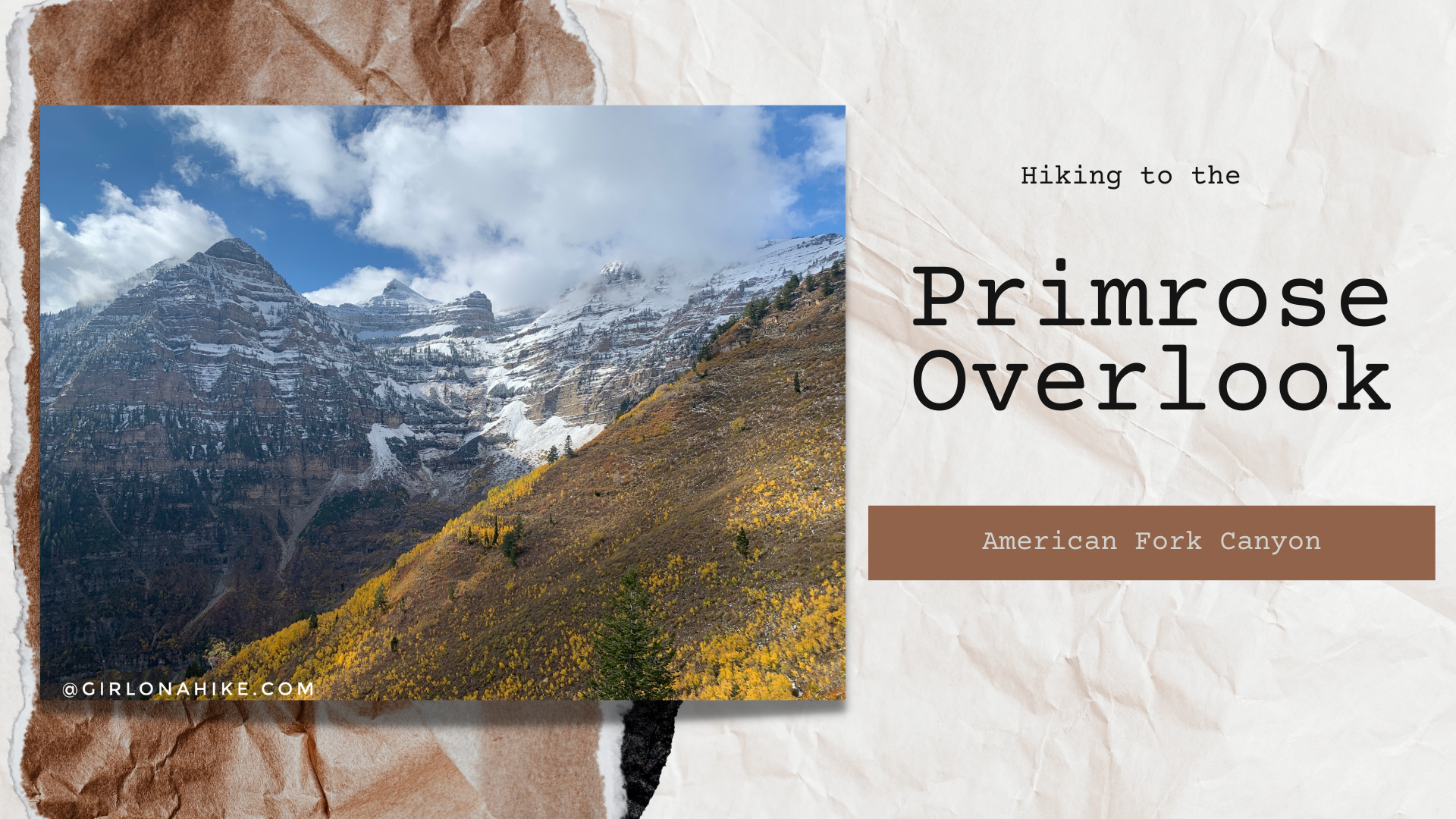
The Horse Flat Trail in American Fork Canyon starts from the Summit Trailhead, and passes through several meadows, large Aspen groves, and shaded areas before finally reaching the Primrose Overlook.
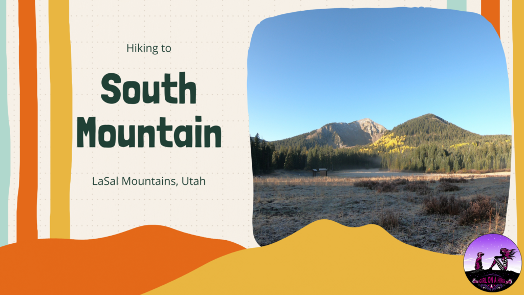
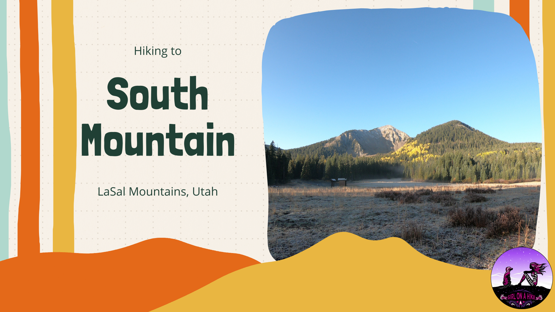
South Mountain (11,817 ft) is located on the very South end of the LaSal Mountains just outside of Moab, Utah.
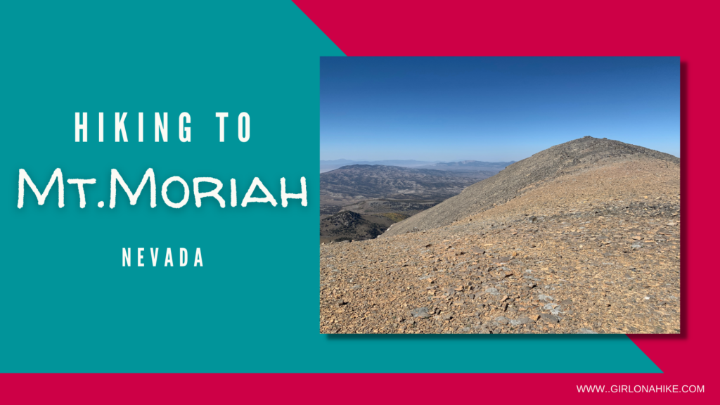
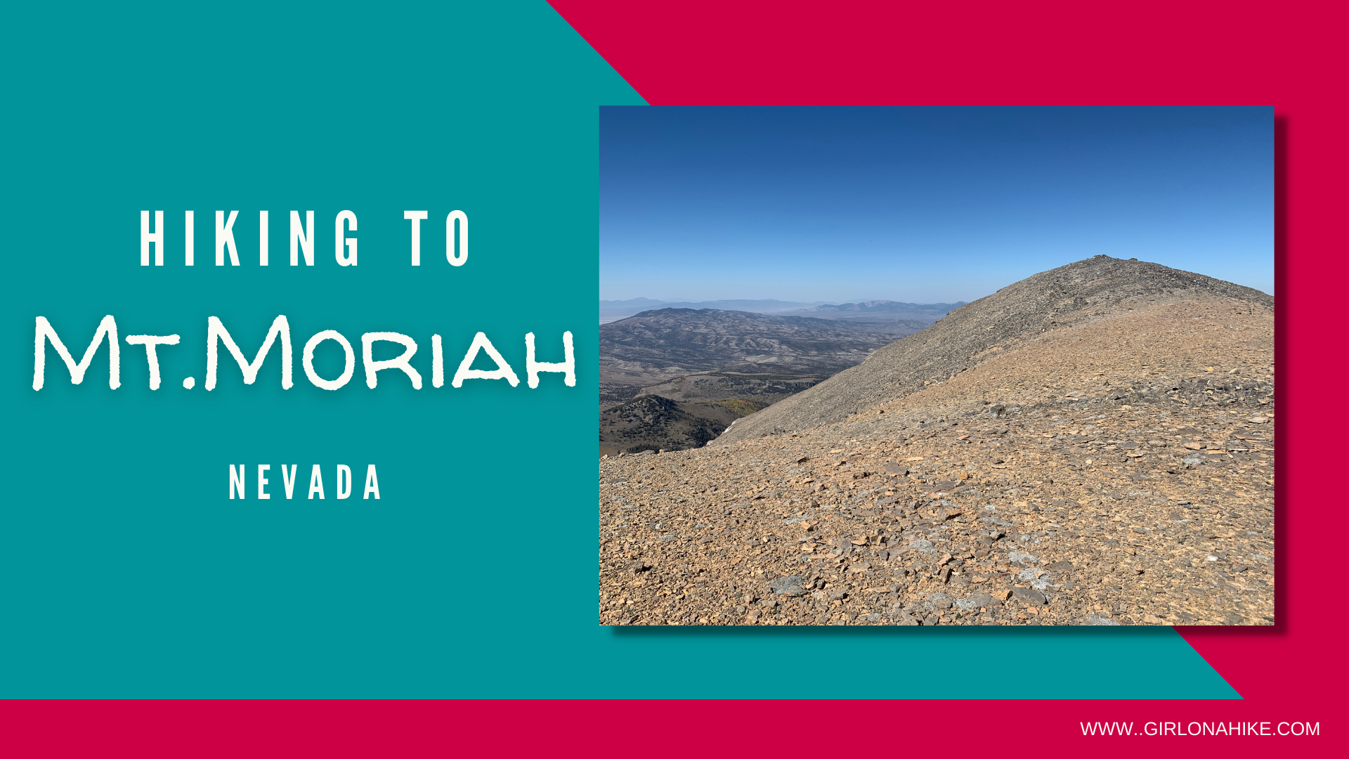
Mt.Moriah (12,073 ft) is located within Mount Moriah Wilderness in Nevada. This peak is often overlooked by its neighbor to the South, Wheeler Peak, in Great Basin National Park. But that is what I loved about this area - we passed very few people on the roads, and literally no one on the trail! Mt.Moriah is very remote and 4WD and high clearance is needed to reach the trailhead.
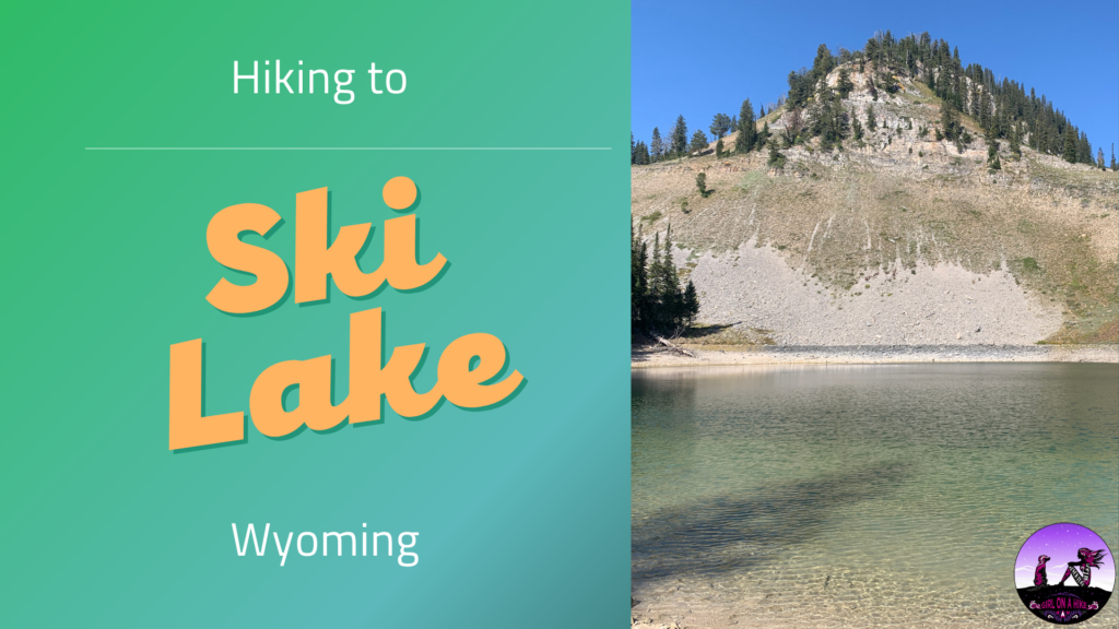
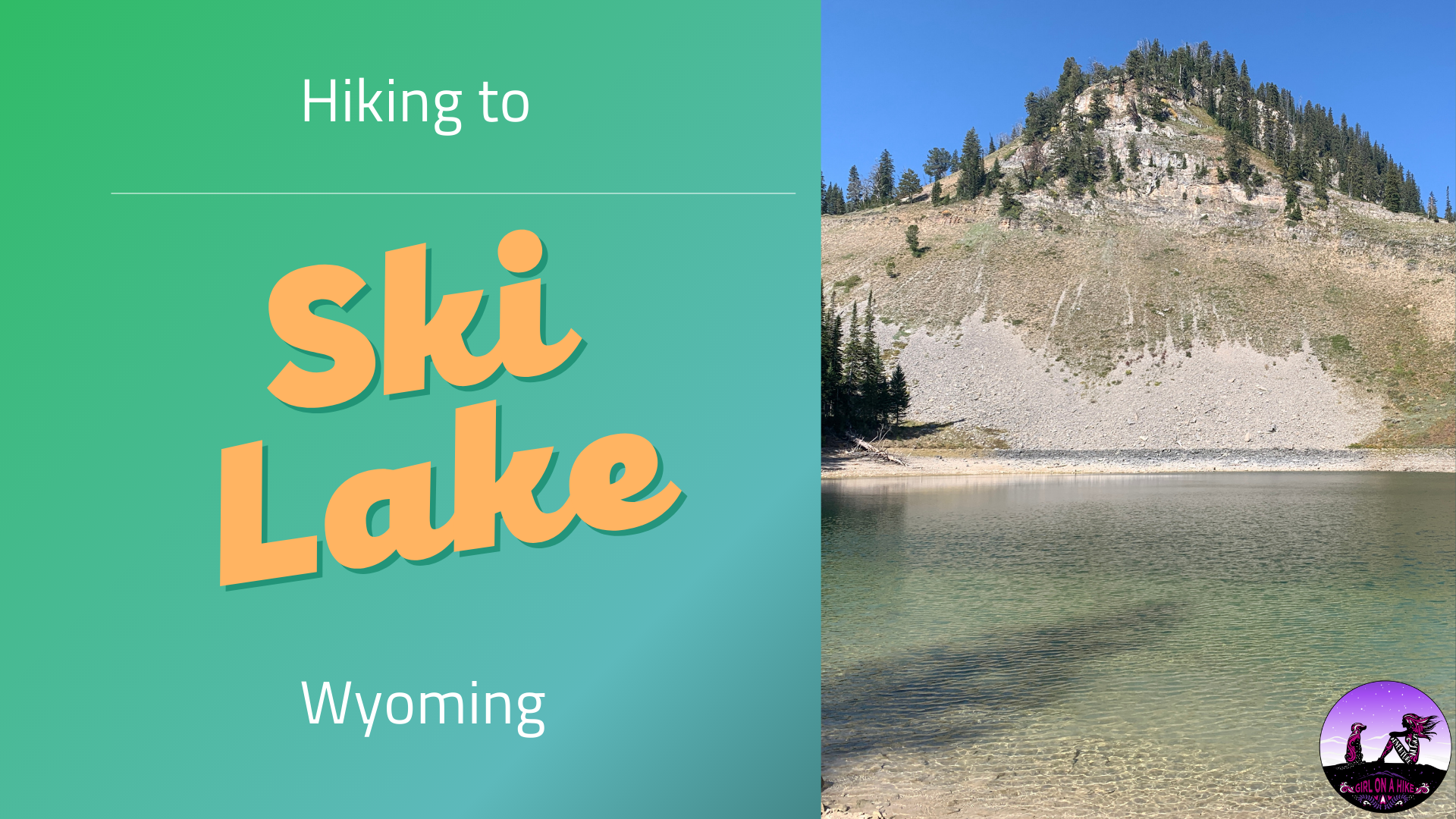
Ski Lake is located in between Victor, Idaho and Jackson Hole, WY, and sits at an elevation of 8,650 ft. Locals say this is the easiest alpine lake to hike to in the area at only 4 miles RT! The trail is very mellow and great for all ages, including dogs off leash.
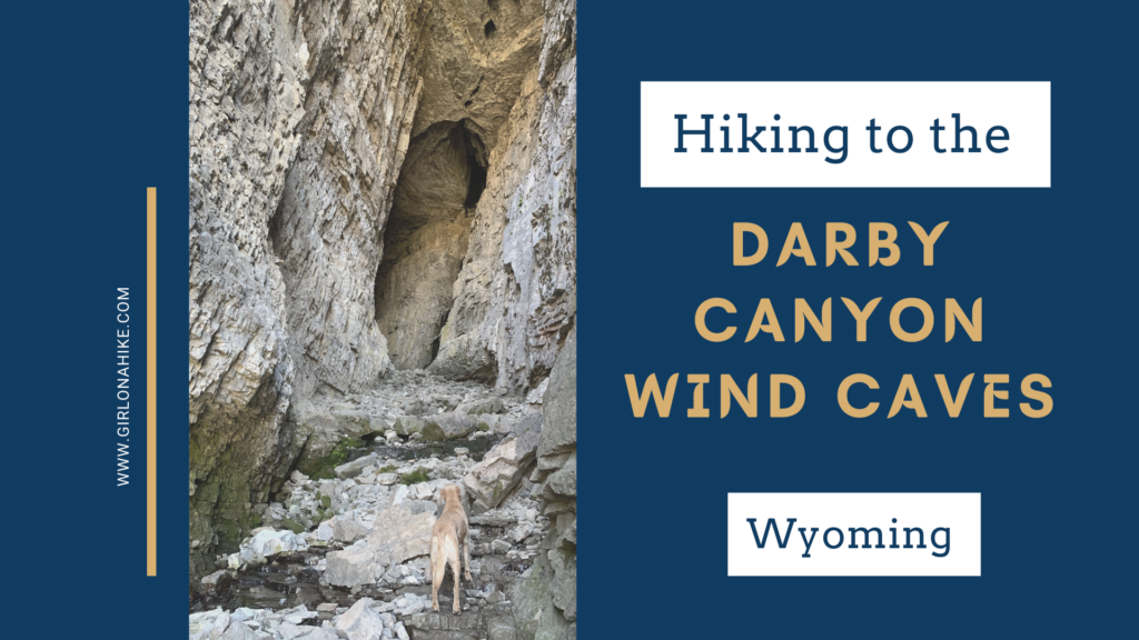
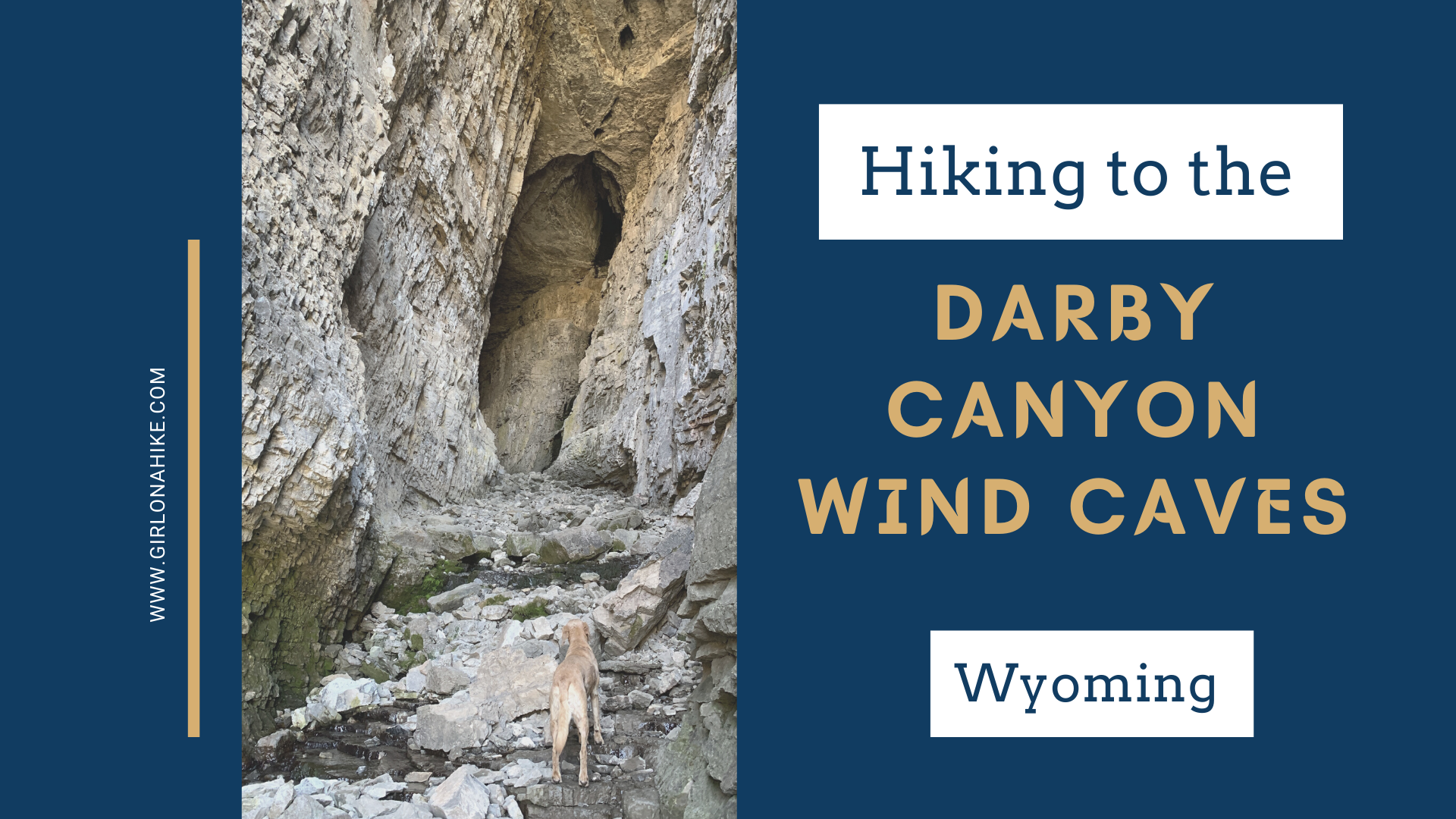
The Darby Canyon Wind Caves are located near Alta, WY, within the Jedediah Smith Wilderness ("the backside" of the Tetons). This is a very popular trail, so don't expect to have any solitude - you'll constantly be pulling over to let others pass, even horses, and the parking lot is full by 10am on weekends. But don't let that stop you from visiting at least once!
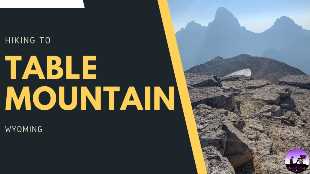
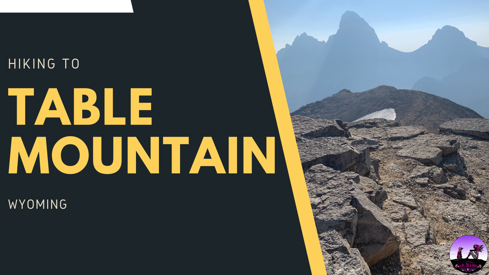
Table Mountain (11,106 ft) is located within the Jedediah-Smith Wilderness of Wyoming, and features amazing views of the lesser-viewed side of the backside of the Tetons. The Grand Teton, South, and Middle Teton are the star of the show here, as they tower over Cascade Canyon.


