
About
Directions
From SLC head West on I-80. Take exit 84, past the Morton Salt Company. Turn left at the stop sign. Then continue along the roughly paved road (it turns to gravel) for 7.6 miles, until you reach a large white “NOTICE” sign and turn right, following the fence line. Park where you feel comfortable.
Here’s a driving map.
Trail Info
Distance: 7 miles RT
Elevation gain: 2,184 ft
Time: 5-7 hours
Dog friendly? Yes, off leash
Kid friendly? No
Fees/Permits? None
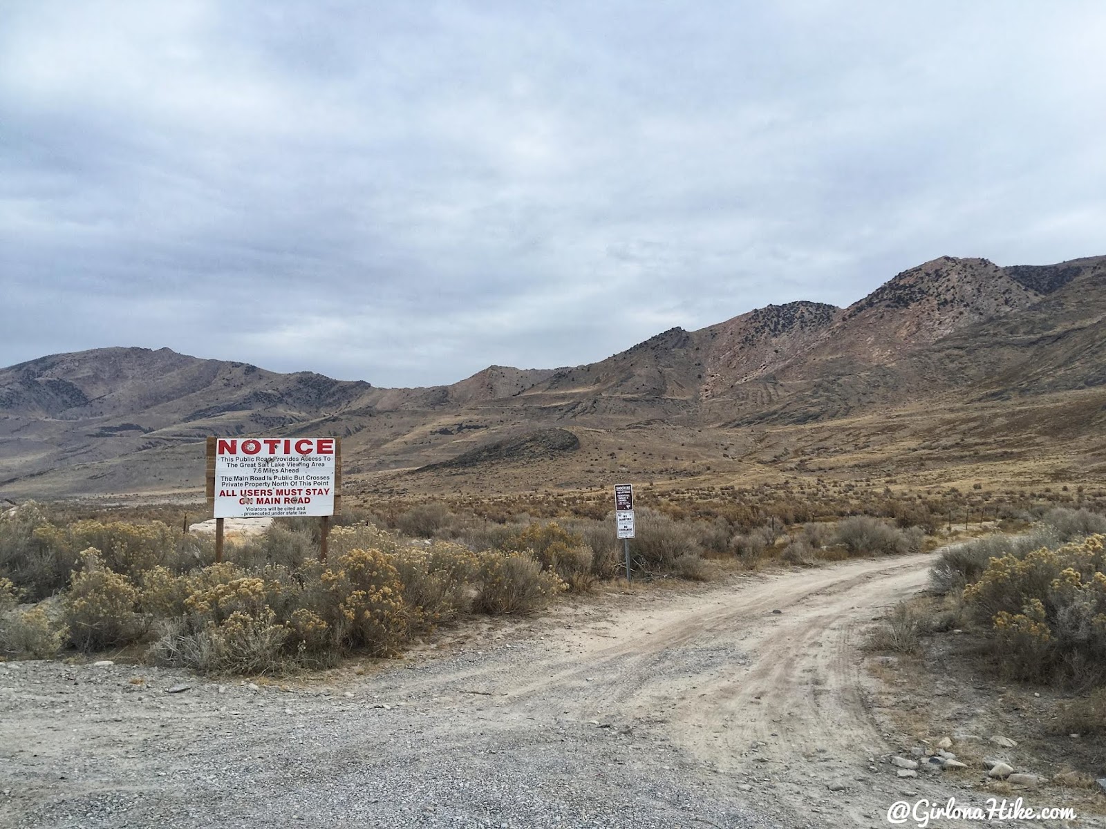
Turn right at the large white notice sign. Drive as fas up as you can – most people can make it up the first small hill with an SUV or larger. Small cars will need to park a little lower.
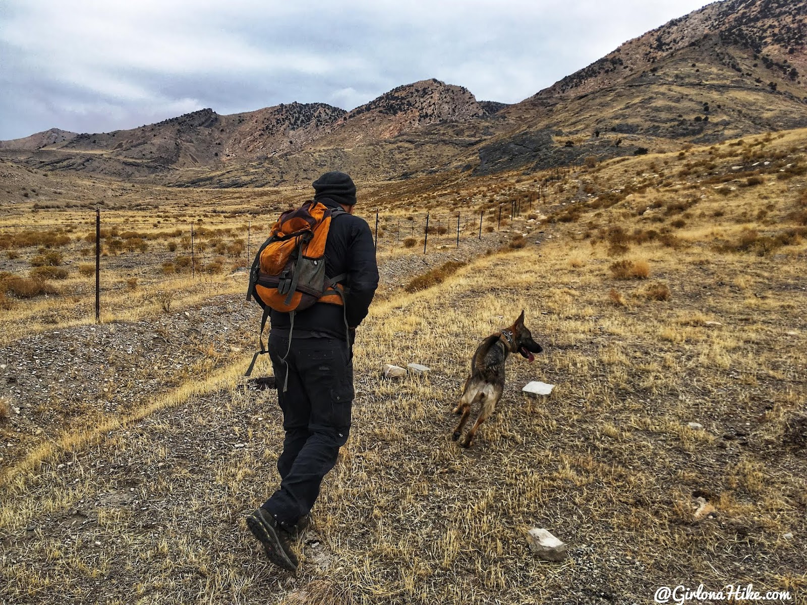
Start by following the fence line.
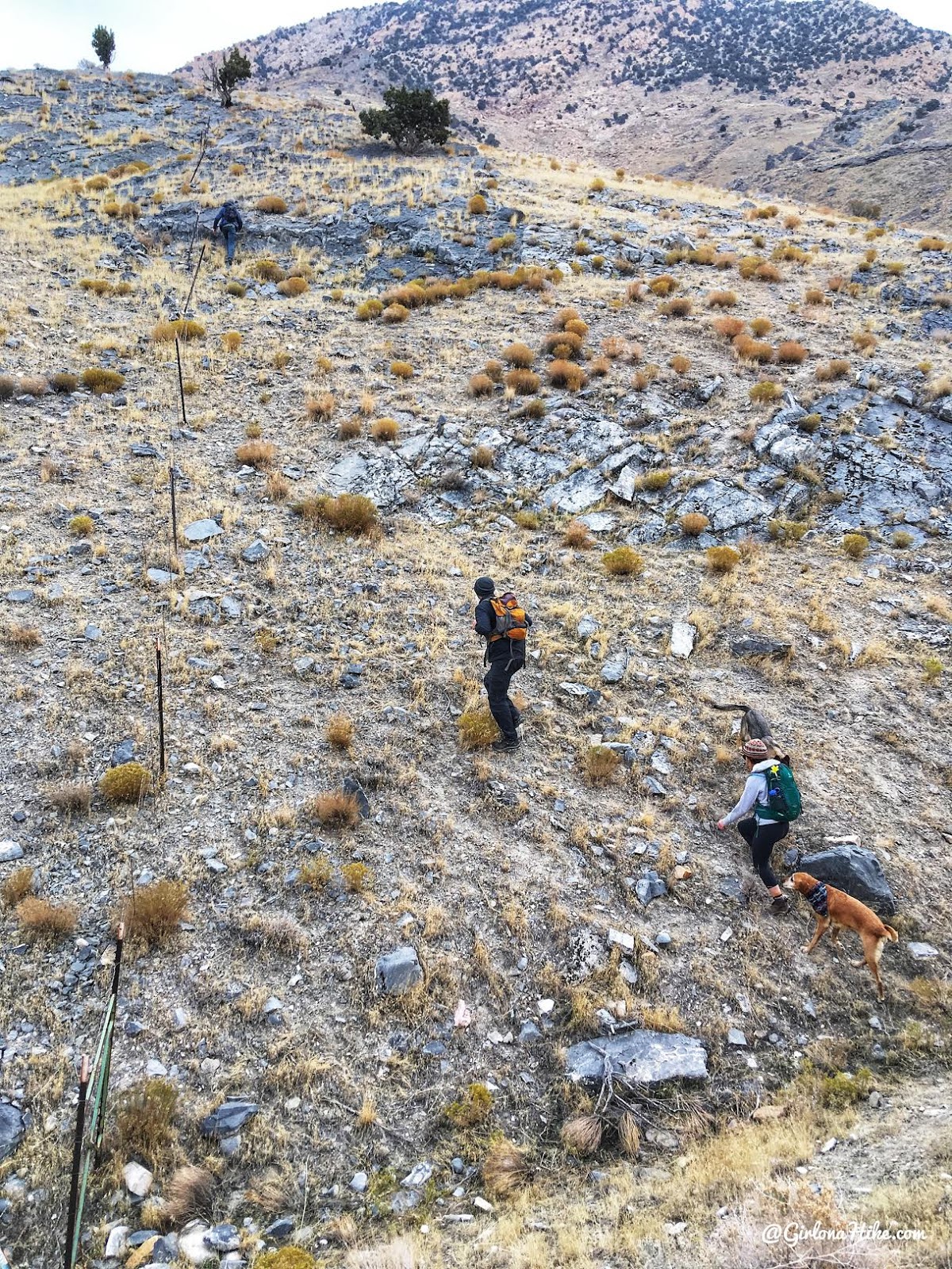
You’ll quickly hike a steep section along the fence. Keep going until you get to the end of the fence then head North.
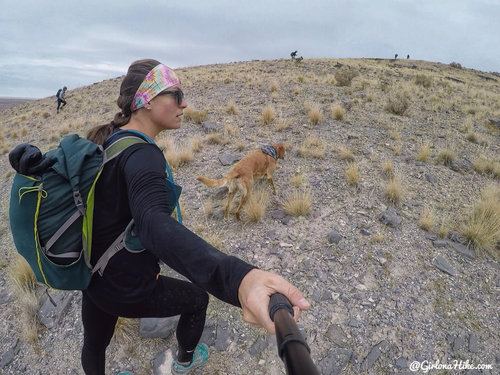
Now the fun begins. Hiking cross country here is really easy – there’s zero bushwhacking.
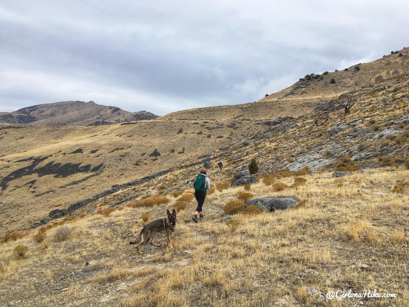
Keep aiming up and right (NE) to reach the shoreline/bench area.
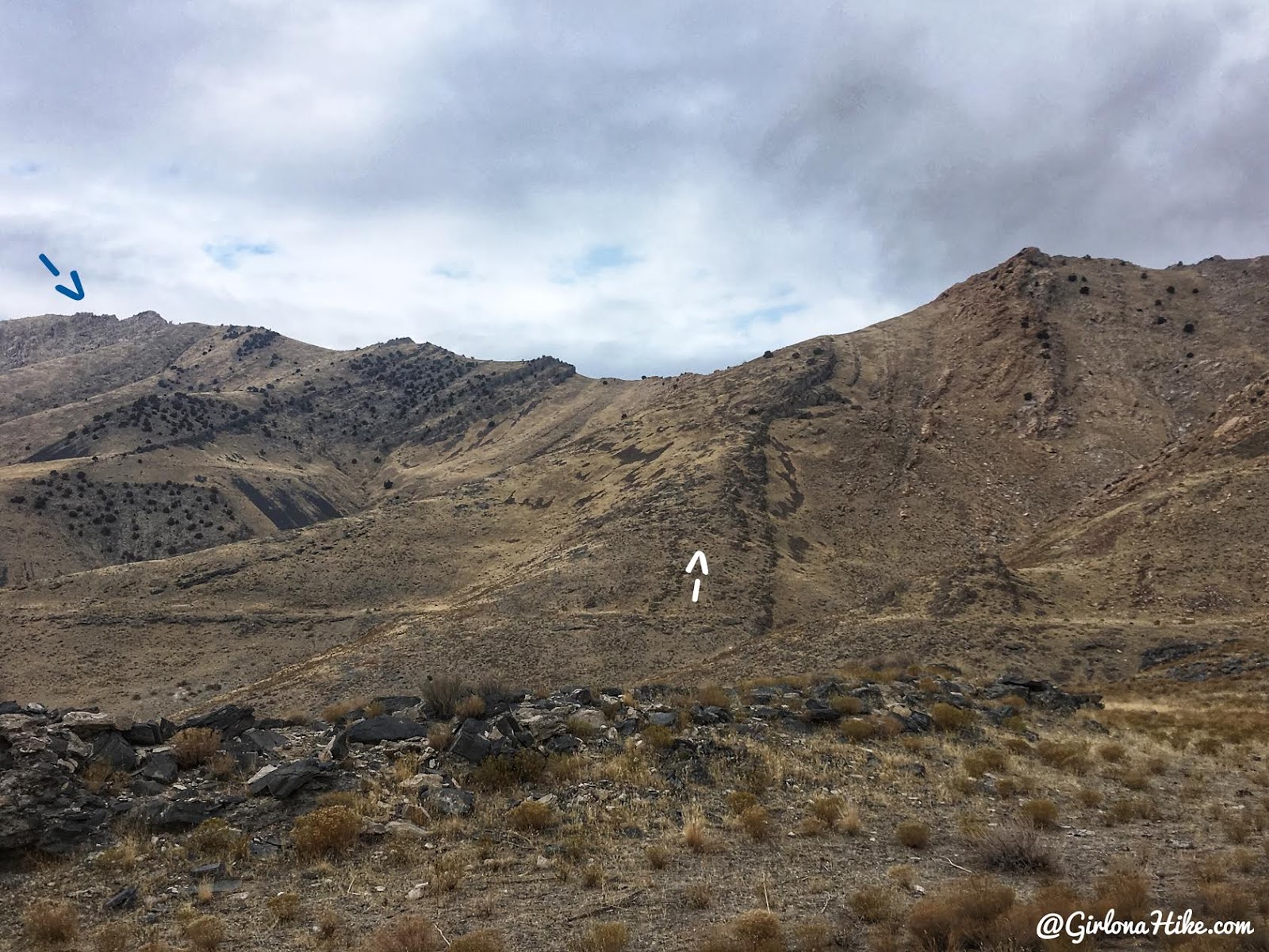
Eventually you’ll see the saddle and the summit. Keep following the shoreline until you reach the white arrow. Here, you’ll want to stay on the left of the black rock ridge area as you hike up. It’s easier to climb up than the right side (we took this down and it was really steep).
The blue arrow is the Castle Rock summit.
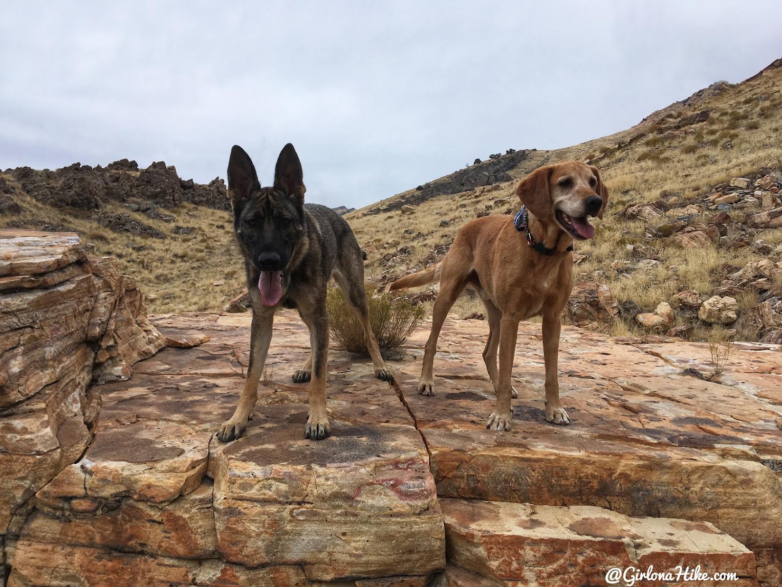
Our pup pal Heidi, is a 1 year old German Sheppard. She has TONS of energy so this was a great hike for her.
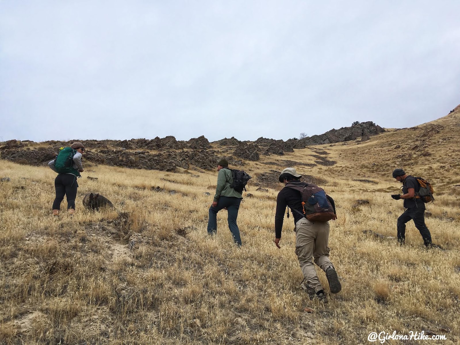
Getting close to the black rocks I pointed out before.
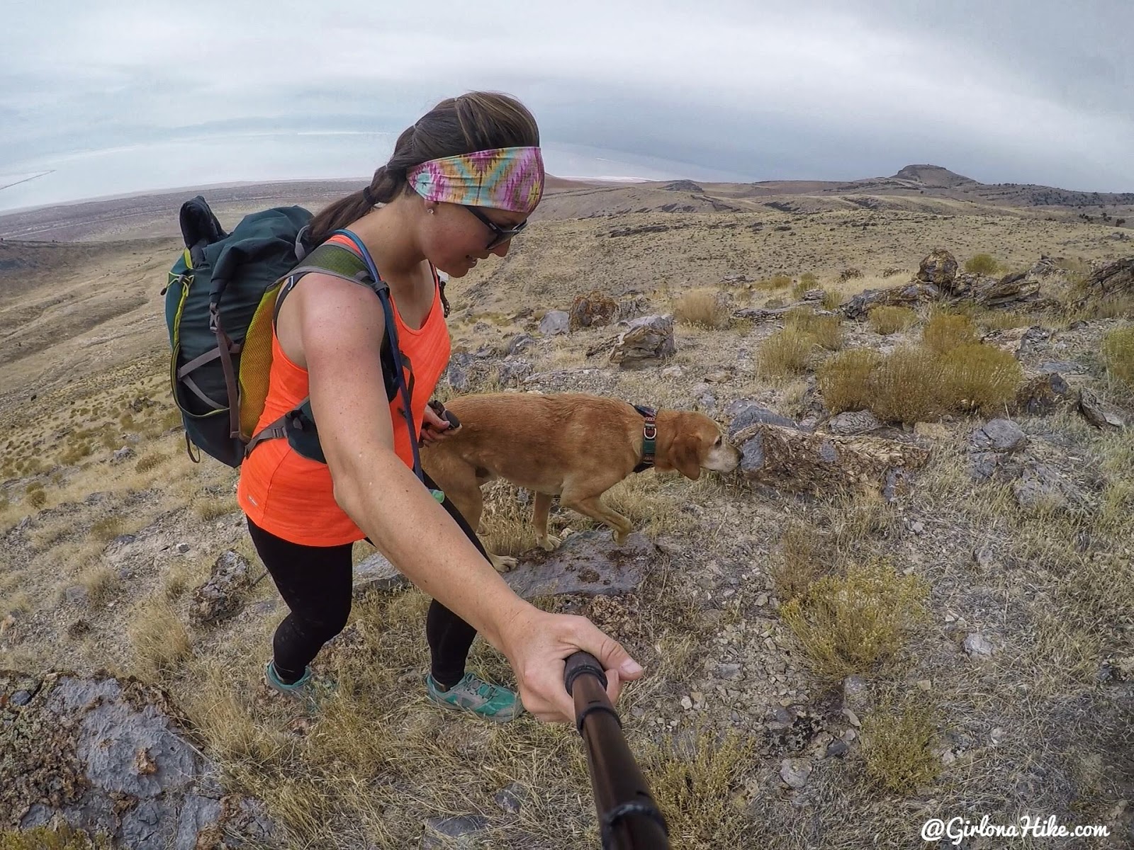
Whew – it was sweating so much on this section. No wind plus working hard uphill, and I was down to my tank top.
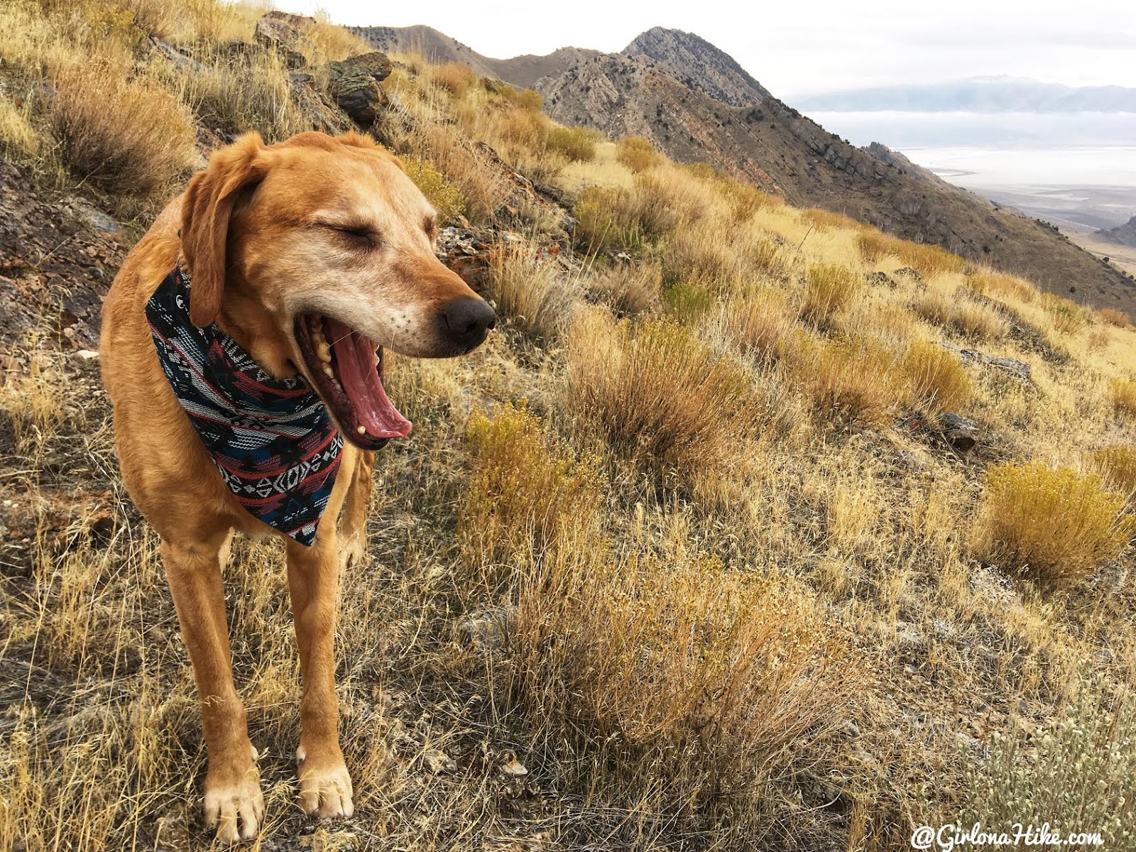
Halfway up and Charlie takes a break to yawn. Silly pup!
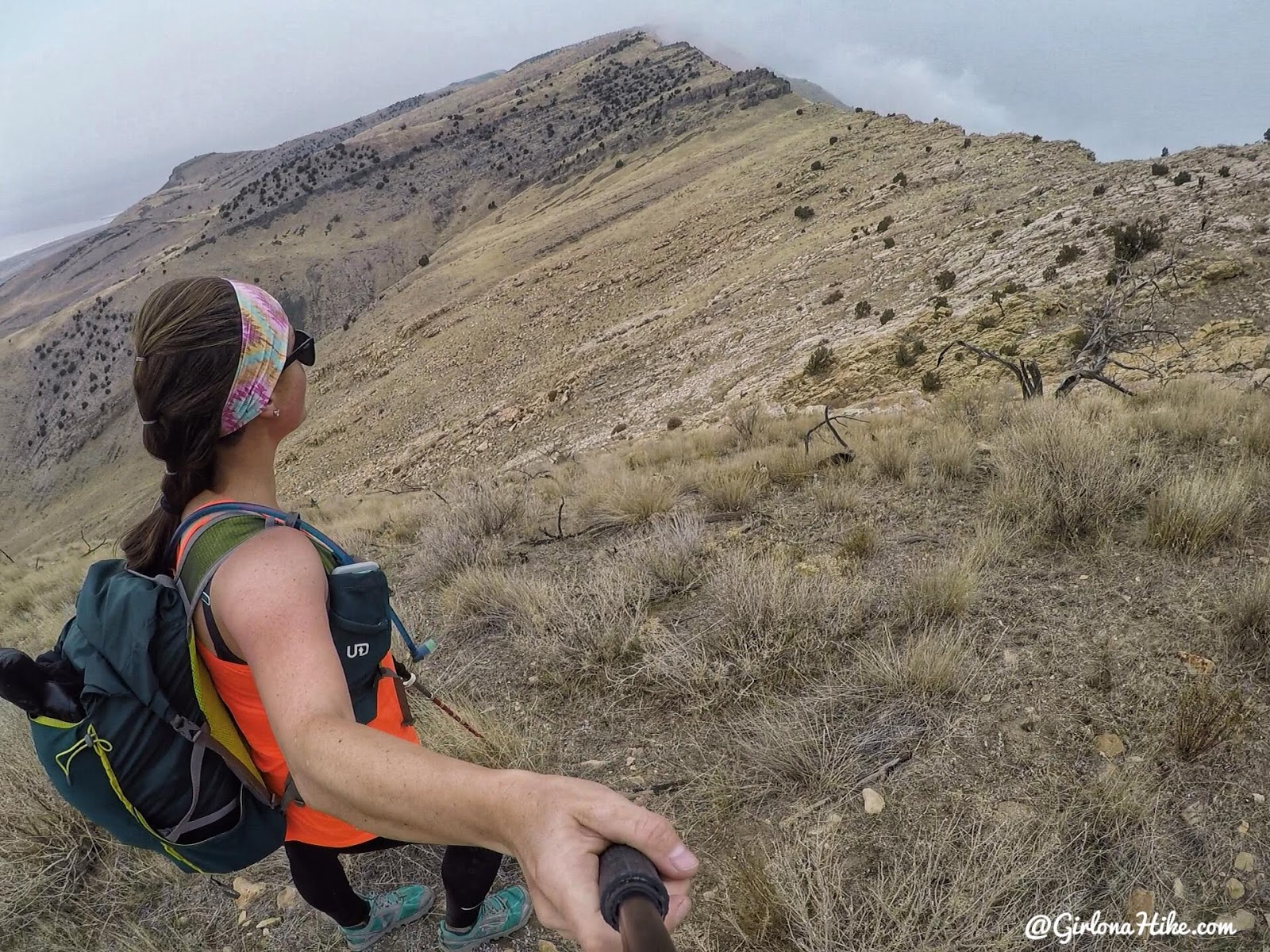
Looking over to the saddle and peak. The clouds were coming in fast. Here we found a decent game trail that cut diagonally across to the saddle.
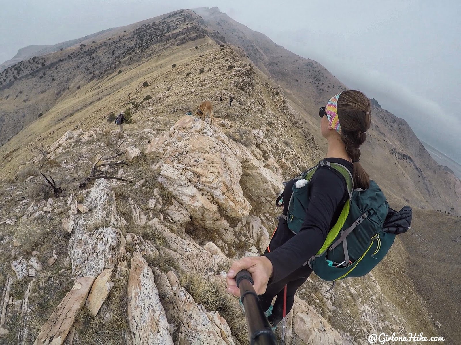
Annnnd back to my long sleeve shirt. I immediately cooled off once on the ridge from the wind. Only 1 more mile to go!
We started to make our way across the ridge. Stay as close to the ridge the rest of the way – if you drop down, you’ll have to work that much harder to get up.
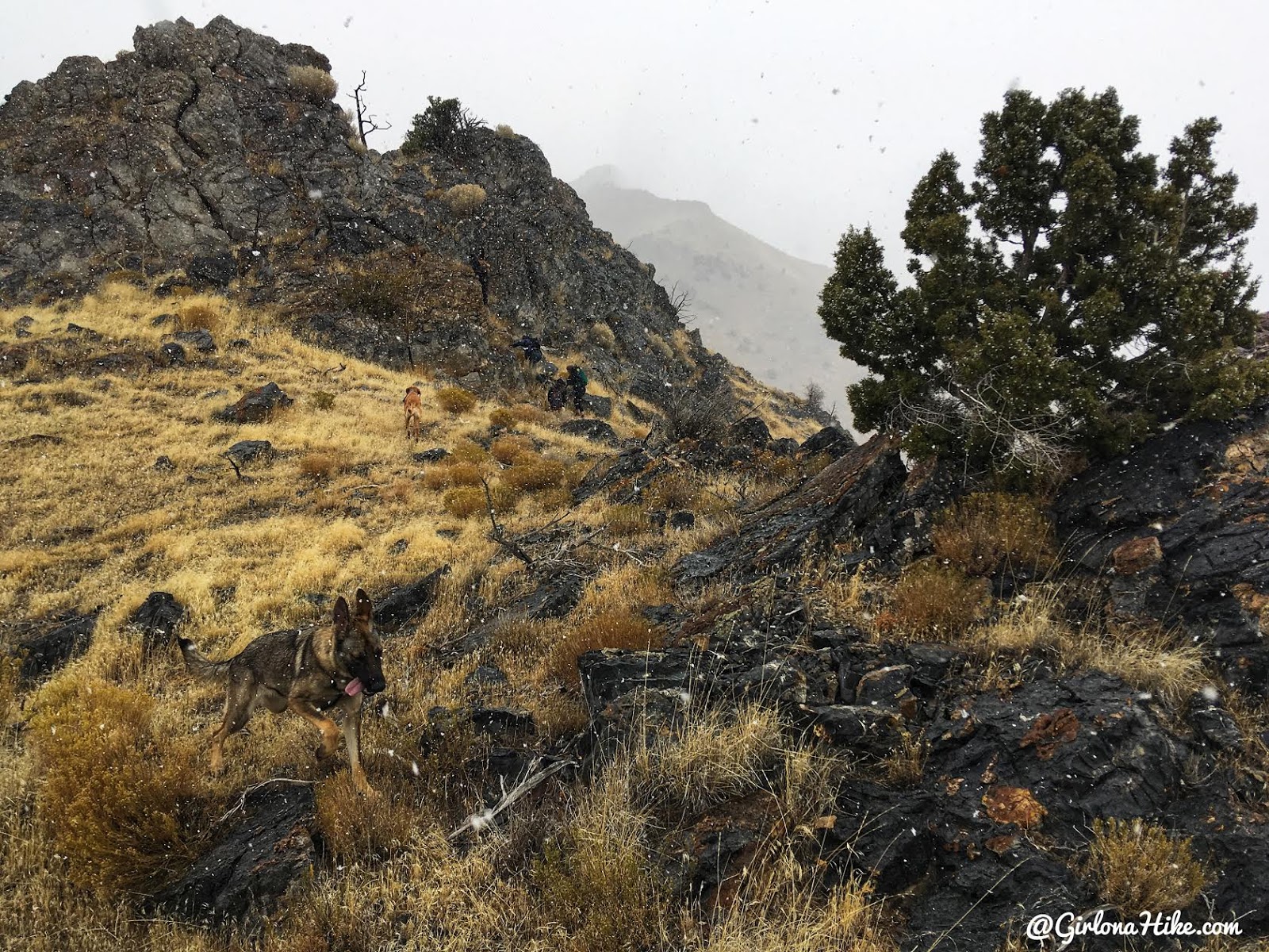
Snow! I was so glad it was snowing and not raining as we had expected. It’s never fun when your gear gets wet. But this – this was fun!
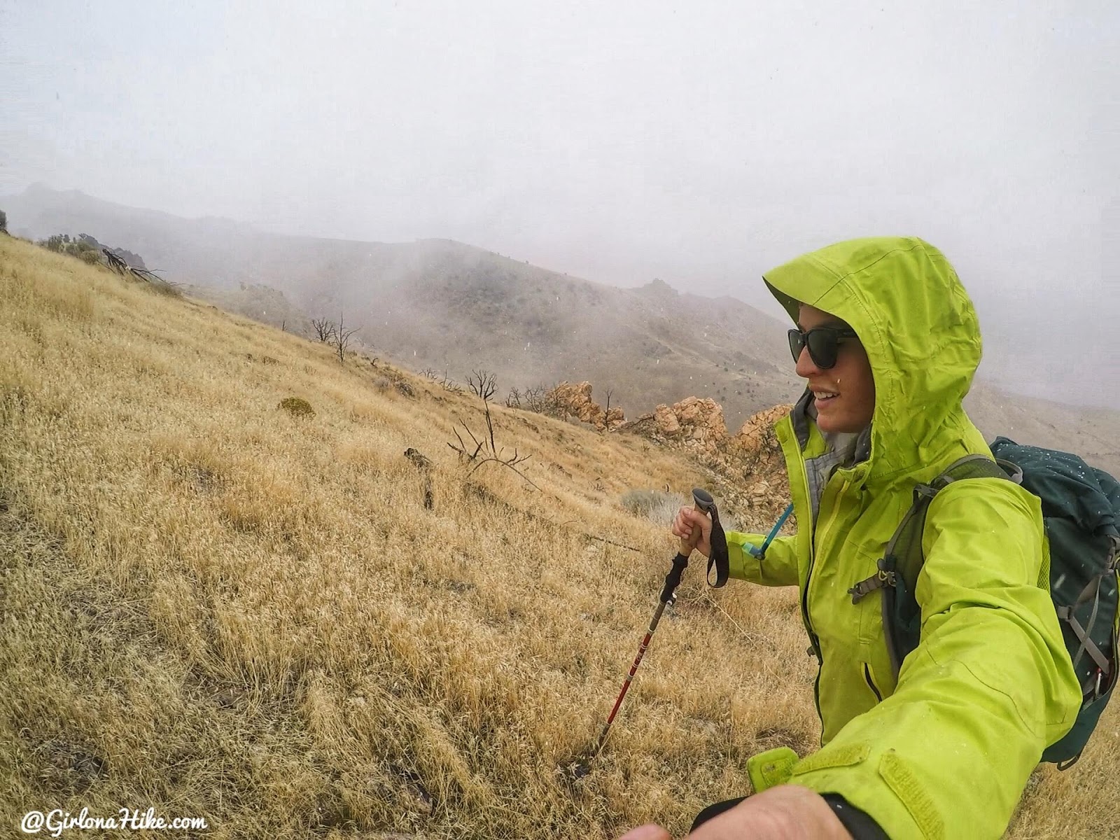
I went from having my base layer tank of to three layers within 20 minutes!
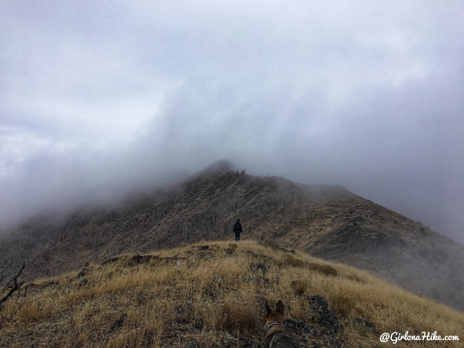
Up and down, over the hills…
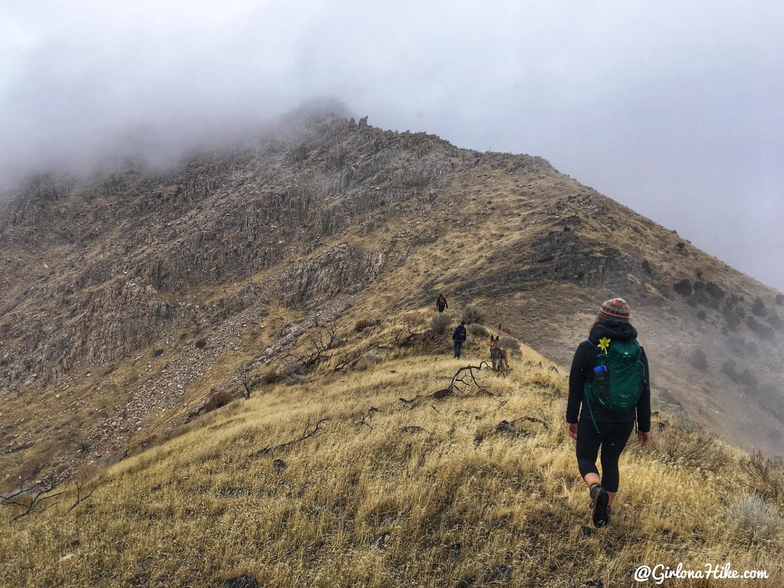
We couldn’t see the Castle Rock anymore, but we weren’t going to stop.
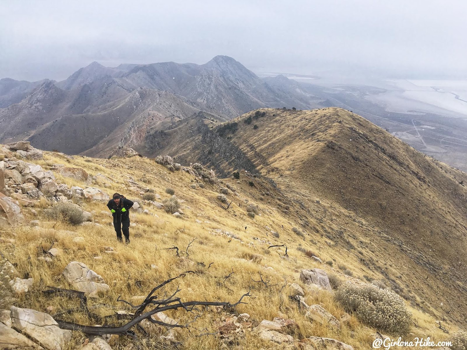
Looking back down the ridge.

The last 1/4 mile is all scrambling. The dogs needed a boost for one rock, but otherwise they made it themselves.
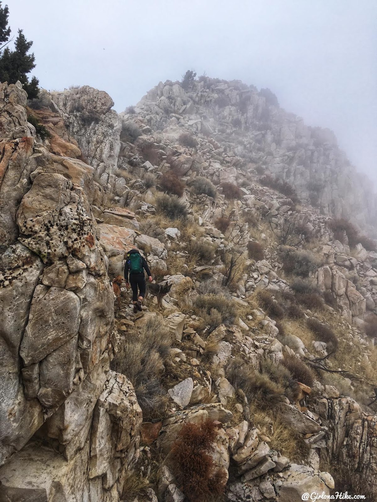
The snow stopped but the clouds lingered.
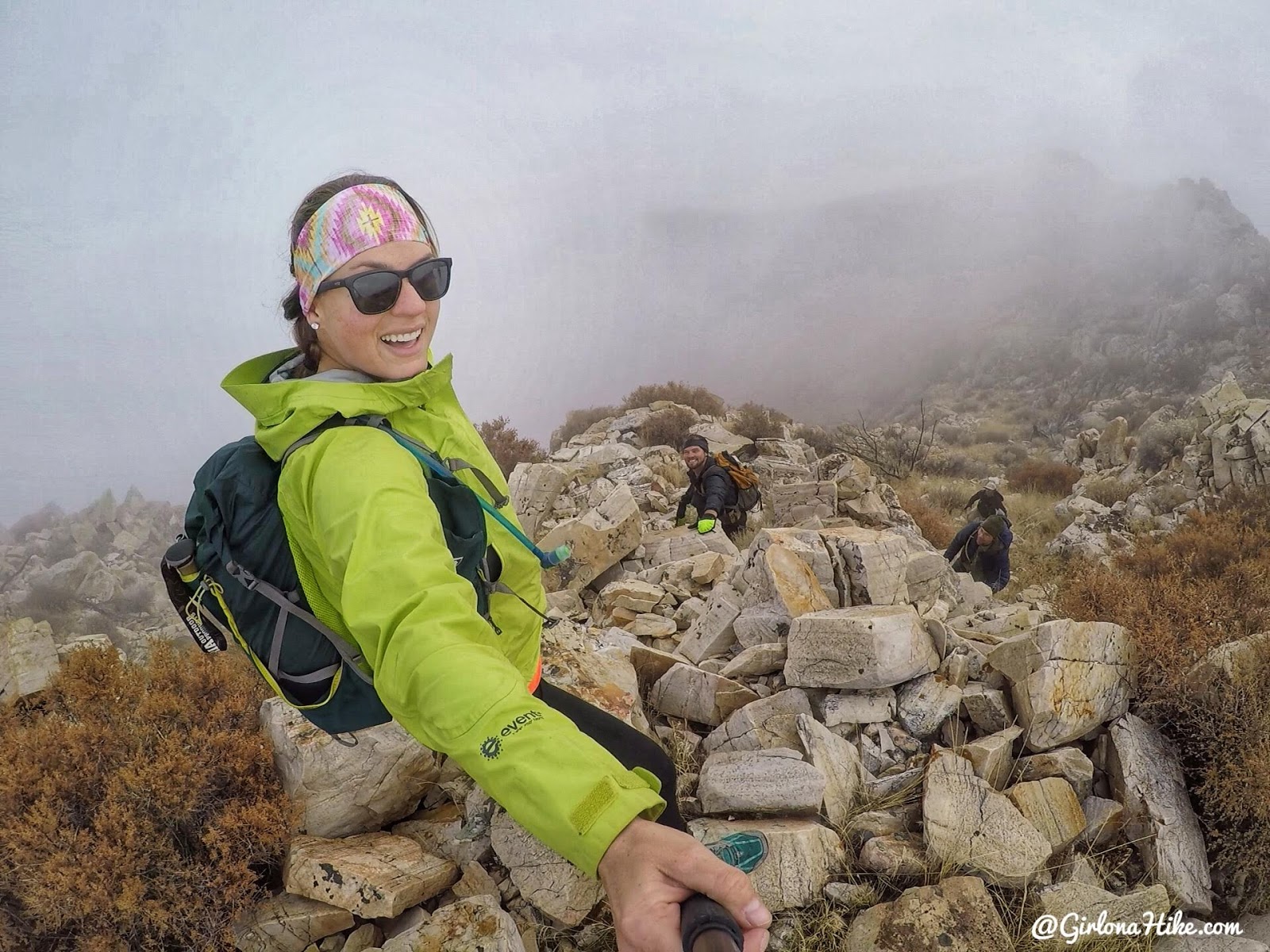
Making our way higher and feeling good now!
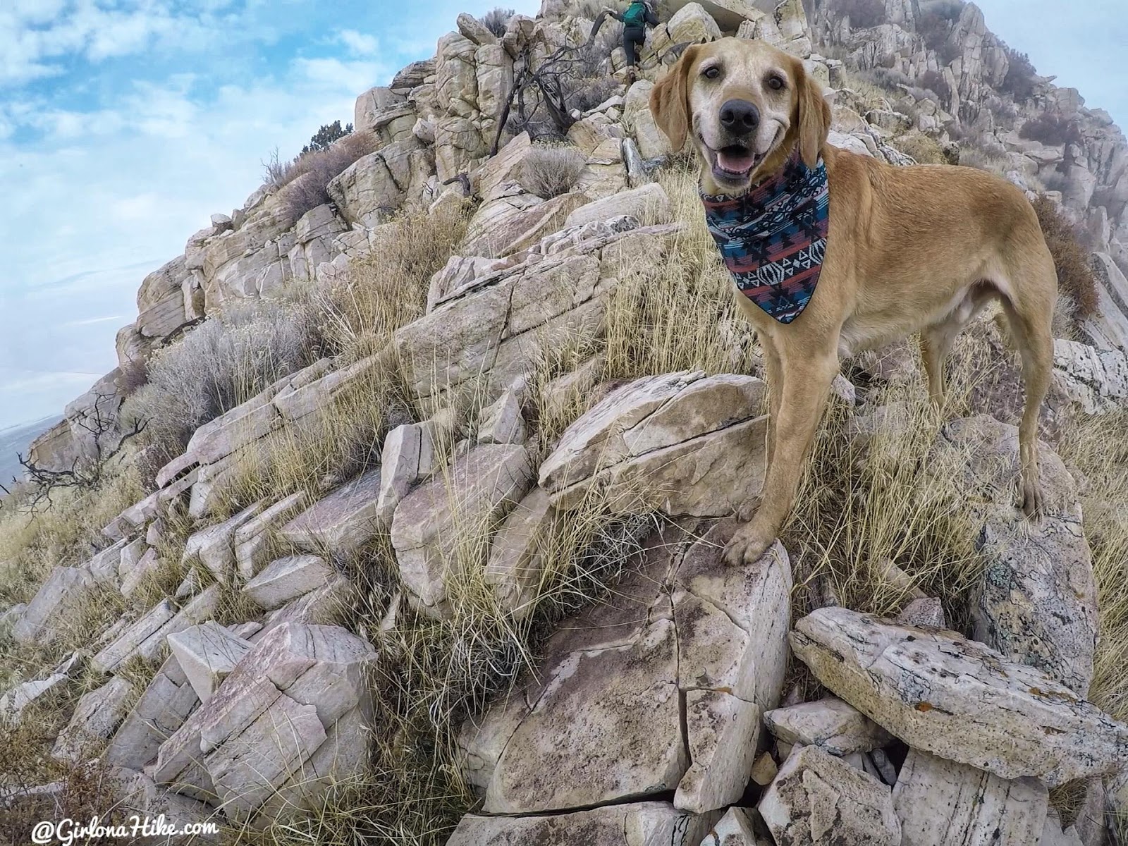
Aww I finally got a photo of Charlie smiling! He loves this stuff.
Is that…blue skies I see in the back?!
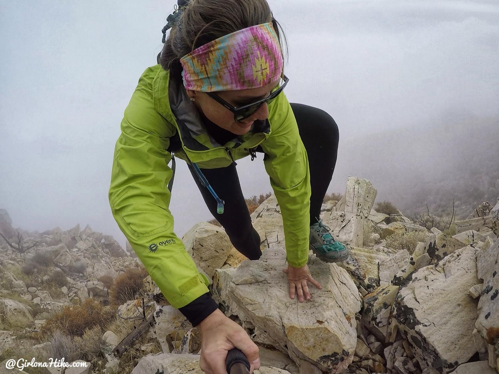
A few more climbs up, first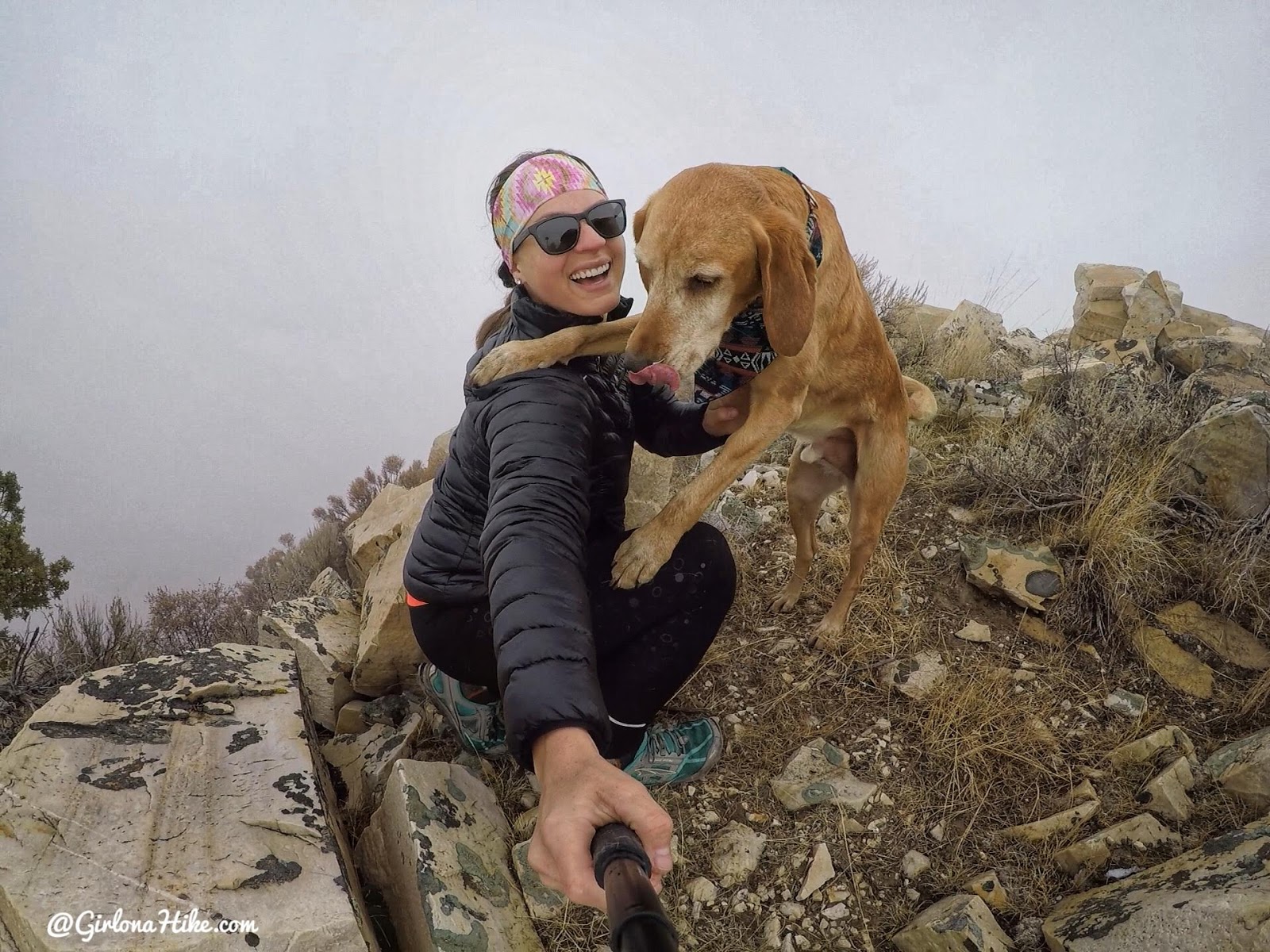
And we made it! Summit selfie! Sad that we didn’t have any views though! I gave Charlie his command to get on the rock behind me. “Load up!” I said. But instead of jumping on the rock he jumped up on me!
We had some snack and hot tea from my thermos, then it was time to head down.
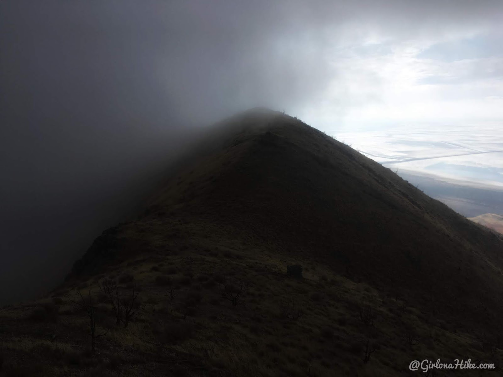
Ooh, dark and eerie skies as we hiked back down.
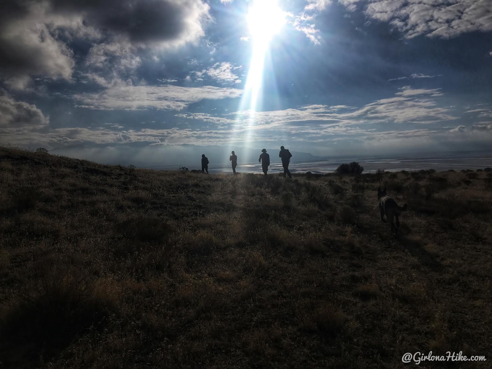
By the time we got off the ridge it was back to warmer temps and sunny skies. That’s Utah for you!
A good sign the pups enjoyed their hike!
Trail Map
My track via Gaia GPS – the best tracking app! Get your app here for a discount.
Recommended Gear
Nearby Hike

Save me on Pinterest!
