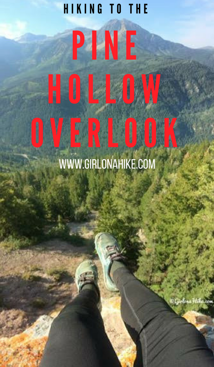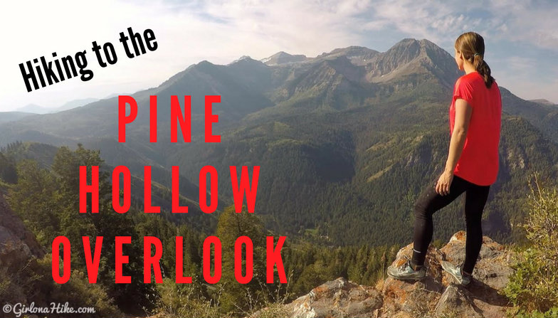

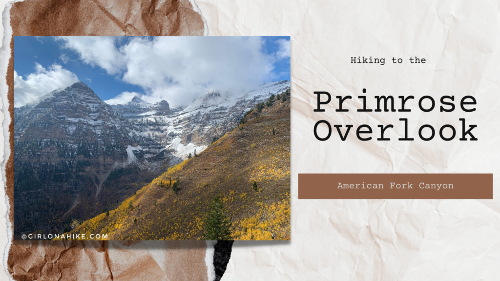
The Pine Hollow Overlook is in American Fork Canyon, and provides an amazing view of the North side of the Timpanogos basin.
About
It’s a perfect hike in Fall because you pass several meadows and Aspen groves that showcase their Fall colors, plus the temperatures are cooler. There are several access points for the overlook – the official Pine Hollow Trailhead, Tibble Fork Reservoir (the longest route), the Salamander Flat Campground, the Summit Trailhead, or how I did this, was via the Alpine Loop Road.
Directions
Use this map, if you are driving from SLC.
Use this map, if you are driving from the south such as Provo.
The trailhead starts from mile 17.5. As soon as you see mile marker 17 (coming from the West entrance), park exactly at 17.5, at the sharp right turn along the Alpine Loop Road. There are no signs for the trail, but there is enough parking for 3-4 cars. The trail starts in the NW corner off the road. There are no restrooms. Also keep in mind that the Alpine Loop Road is only open during the summer months until October 31st or whenever the first snow arrives. In Winter months you can start this hike from the Pine Hollow TH, where the winter gate is.
Trail Info
SUMMER ROUTE
Distance: 5.6 miles RT
Elevation gain: 700 ft
Time: 3-4 hours
Dog friendly? Yes, off leash
Kid friendly? Yes, 10+
Fees/Permits? There is a $10 fee to enter AF Canyon. It’s FREE if you have an annual AF Canyon Pass or annual National Park Pass. No Permits are required.
WINTER ROUTE
Distance: 9 miles RT
Elevation gain: 1800 ft
Time: 4-6 hours
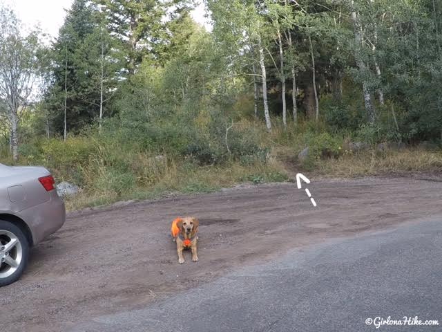
The trail starts from mile 17.5 at the small pull out on the North side of the Alpine Loop Road.
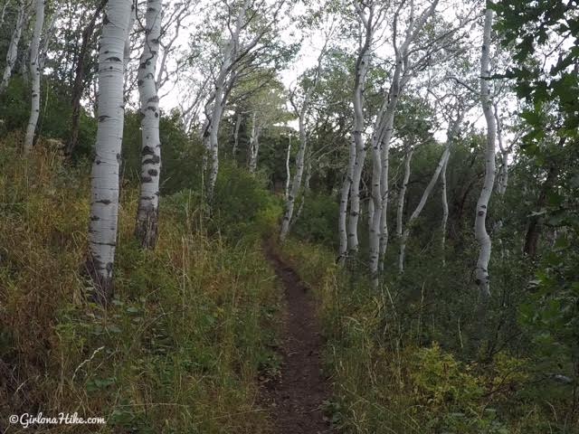
50 yards into the hike, turn right.
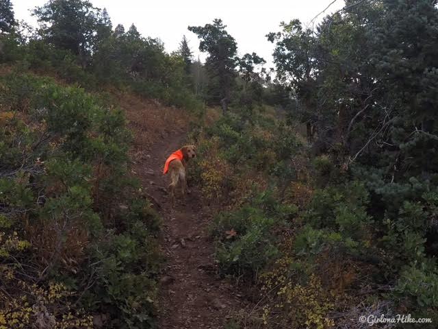
You’ll hike above the road for a little bit, through a mix of small brush and Aspens.
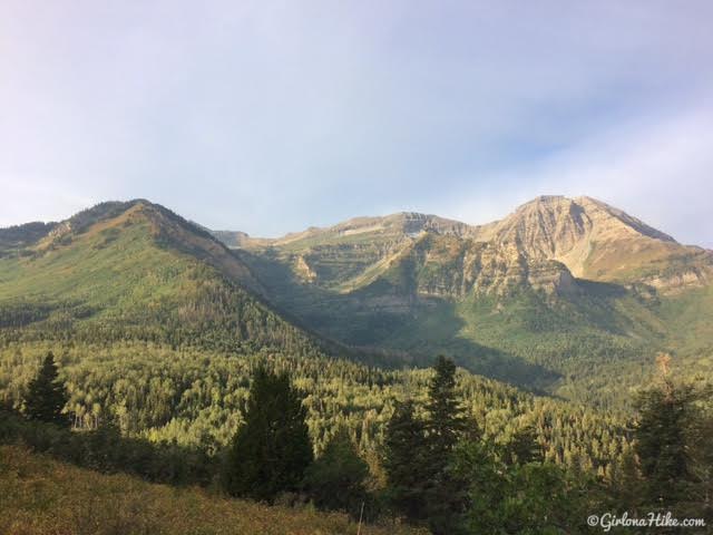
In the first 10-15 minutes of the hike, if you look back, you should already have an awesome view of the North side of the Timpanogos basin.
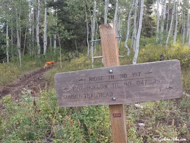
First trail split – stay left following Ridge Trail 157/Pine Hollow Trail.
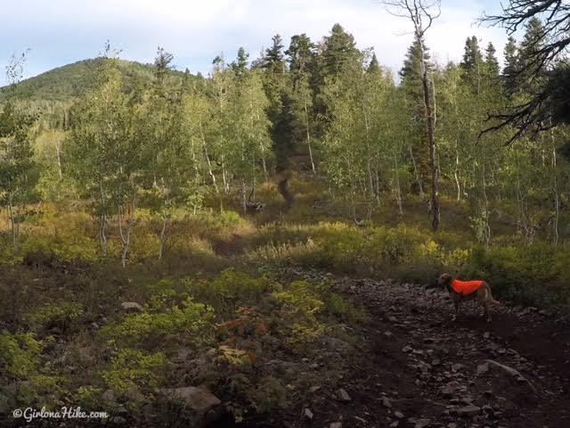
You’ll drop down into a meadow, and pass a small campsite on your left.
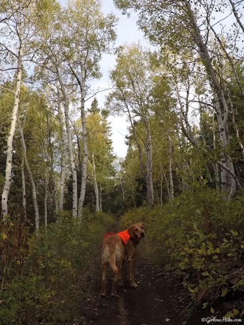
Yay Fall is here!
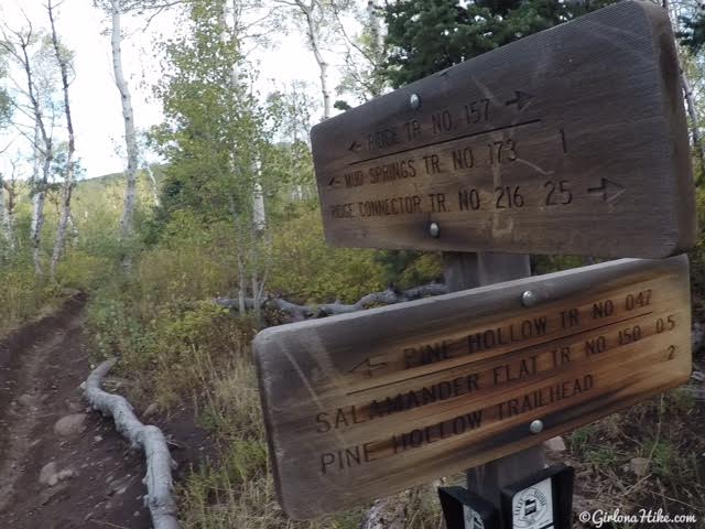
Next trail split – stay straight following Ridge Trail 157/Mud Springs Trail. If you hike up from the Pine Hollow TH, you’ll also end up here and will turn left.
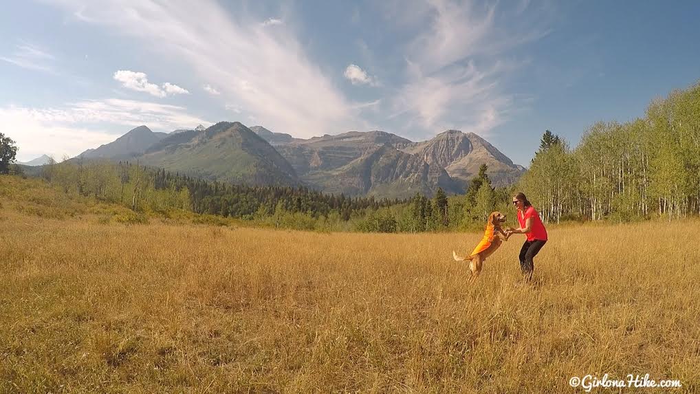
Playing around at the Pine Hollow meadow! This is one of my favorite sections of the trail.
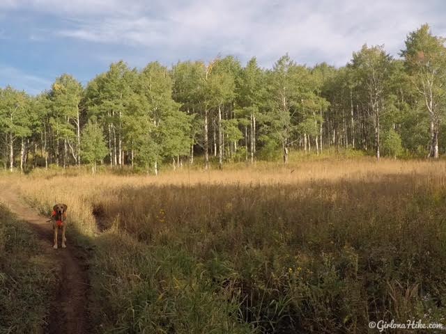
Continue following the trail as it starts to curve West. You’ll hike through several more meadows. You’ll also come to another trail split – stay on the Mud Springs Trail from this point on. If you continue following Ridge Trail 157 it will take you over to Mill Canyon Peak area.
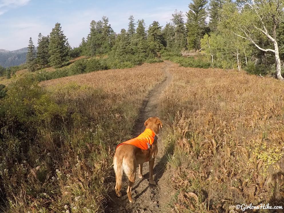
Towards the top of the Mud Springs Trail we spooked a huge Bull elk! Keep an eye & ear out for wildlife, and if you have a dog, have a leash handy. That is one of the reasons Charlie has his Ruffwear Track Jacket on – we passed several hunters on this trail bow hunting Elk. Because he blends in and looks like a Deer, this jacket provides plenty of visibility for hunters. You could also use a bandana, dog pack, or bell on your dog.
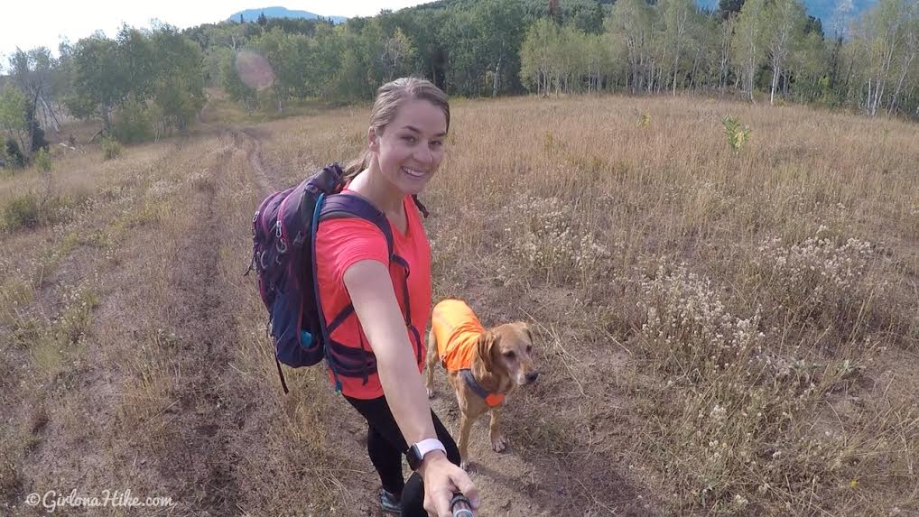
Selfie for our solo hike!
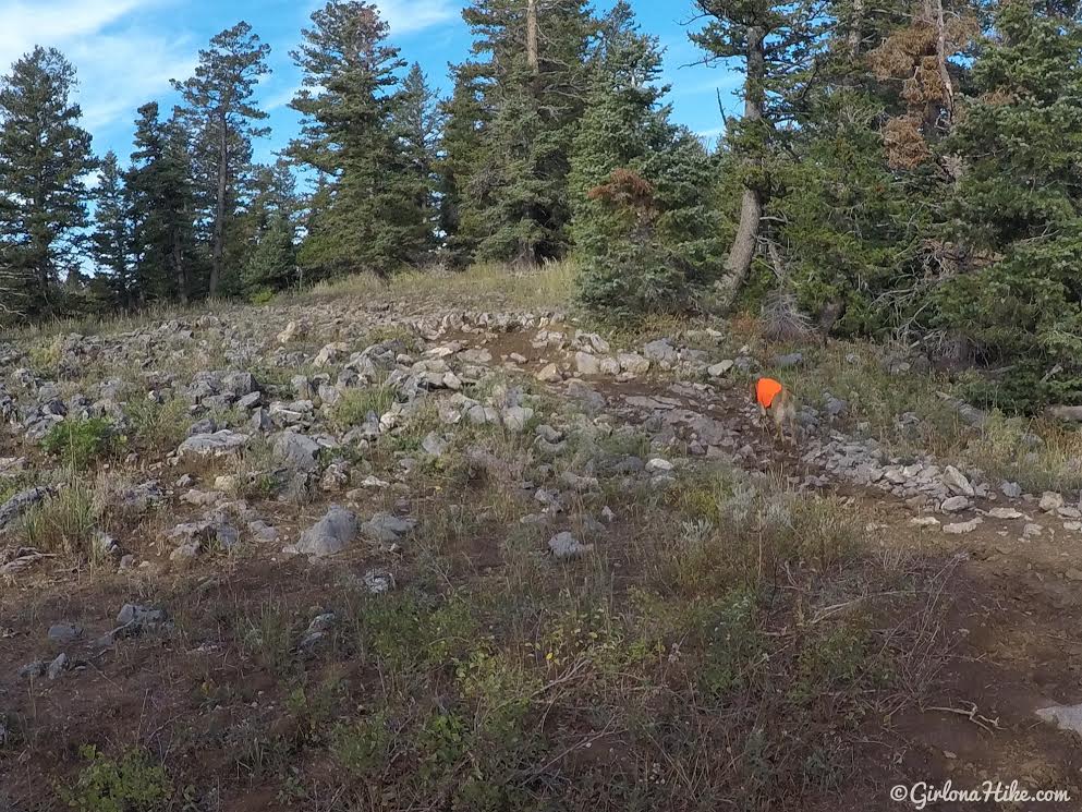
You know you are close when you hike through the first “rocky” section (its a stretch to even call it that).
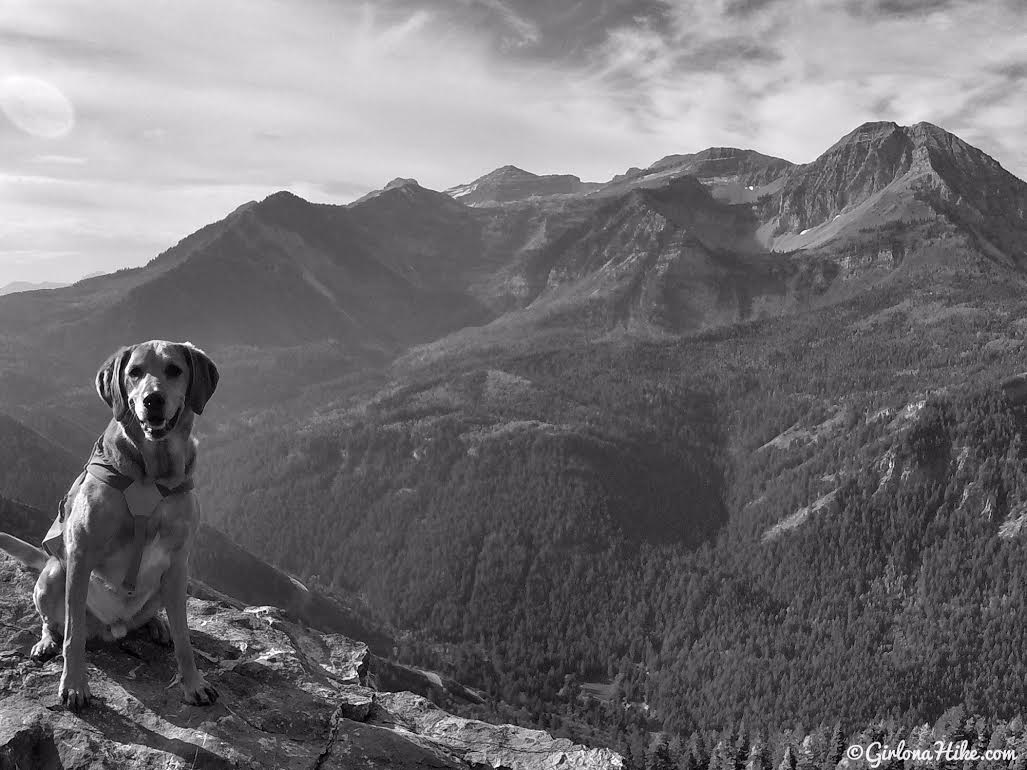
Pine Hollow Overlook!
What a gorgeous view!
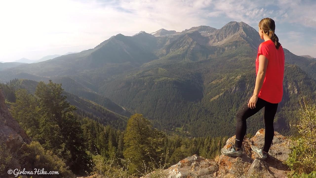
Seriously, this is one of my new favorite views in the Wasatch!
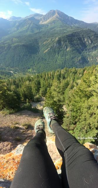
That’s a loooong drop!
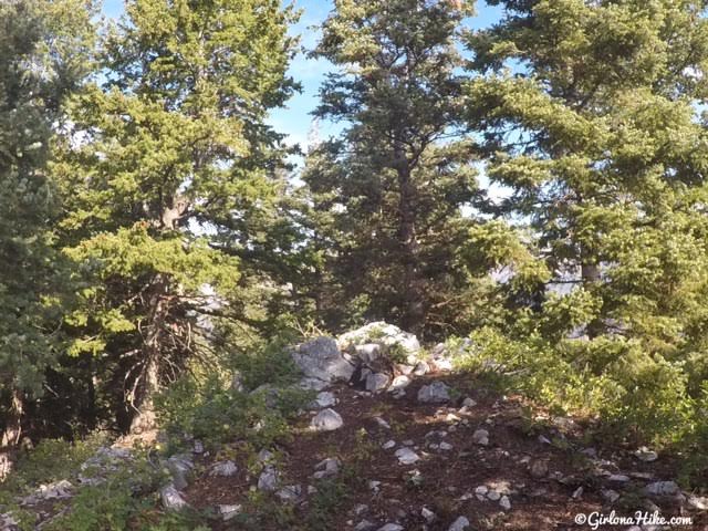
If you have an extra 5 minutes and want to get to Pine Hollow Peak, continue following the trail past the overlook. Maps won’t label it as Pine Hollow Peak, but rather “8440” for the elevation. To be honest, it’s not really worth the time because this is the only view you get – a big pile of rocks LOL!
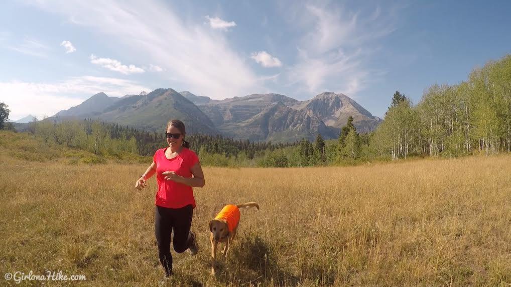
Go back the same way you hiked in. We stopped to frolic through the fields again!
January 2020

Out with the crew again!
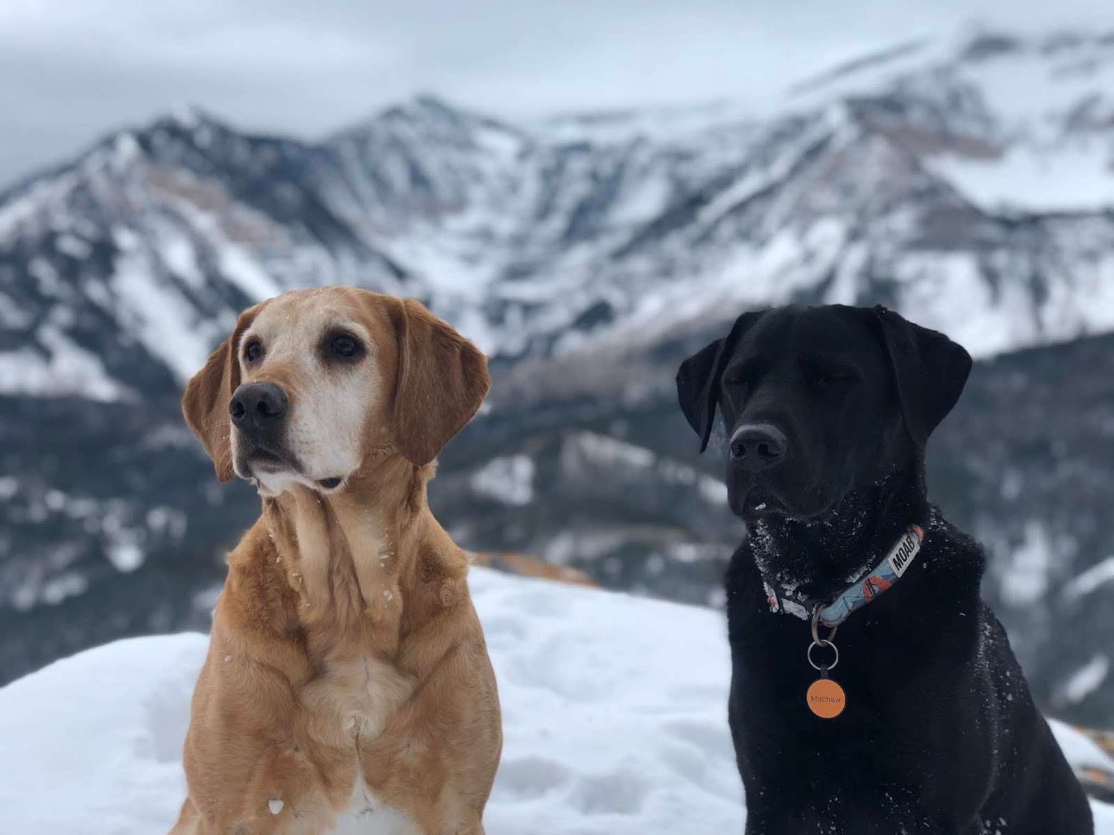
Charlie and Matthew
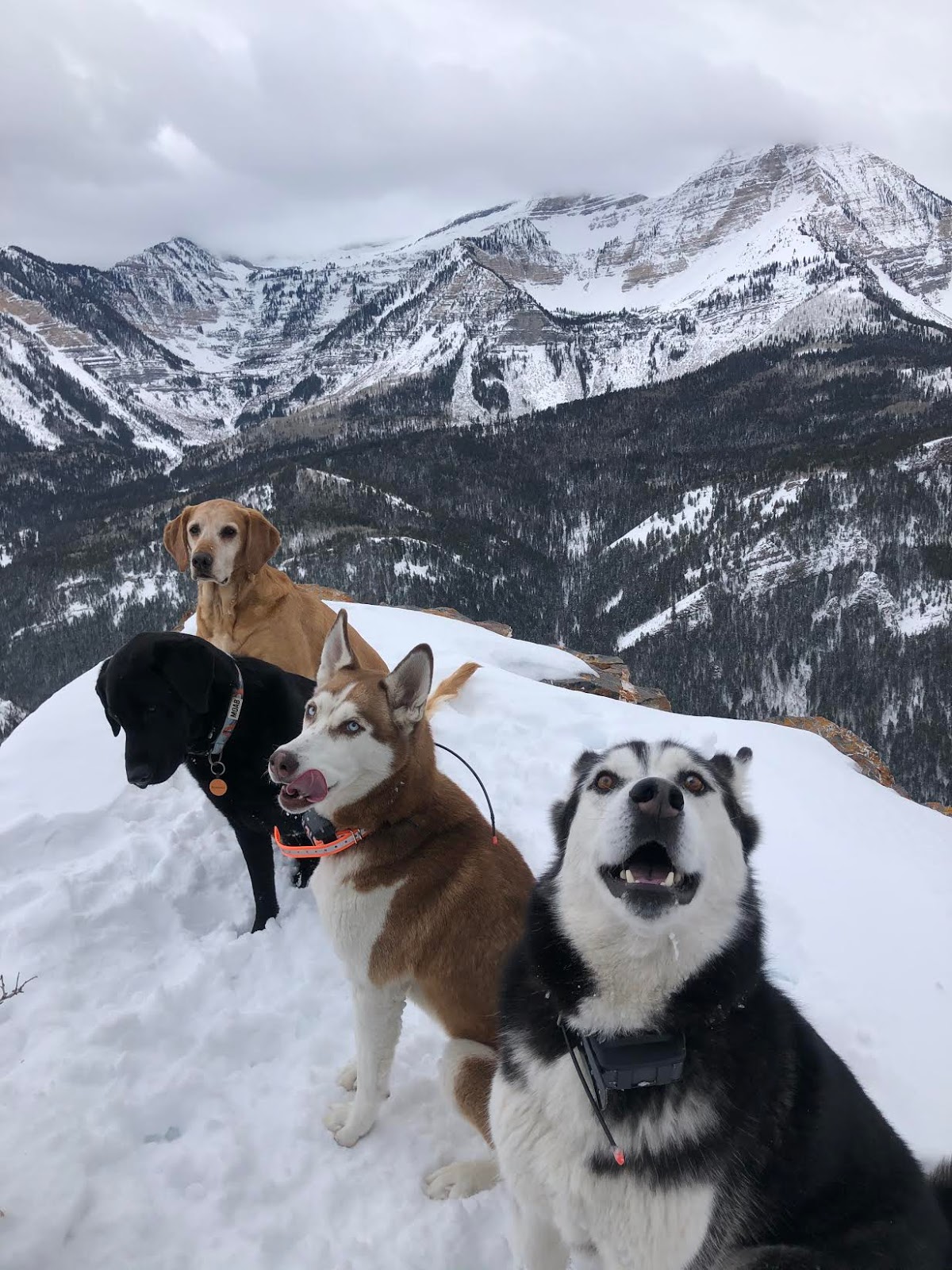
Love these silly pups!
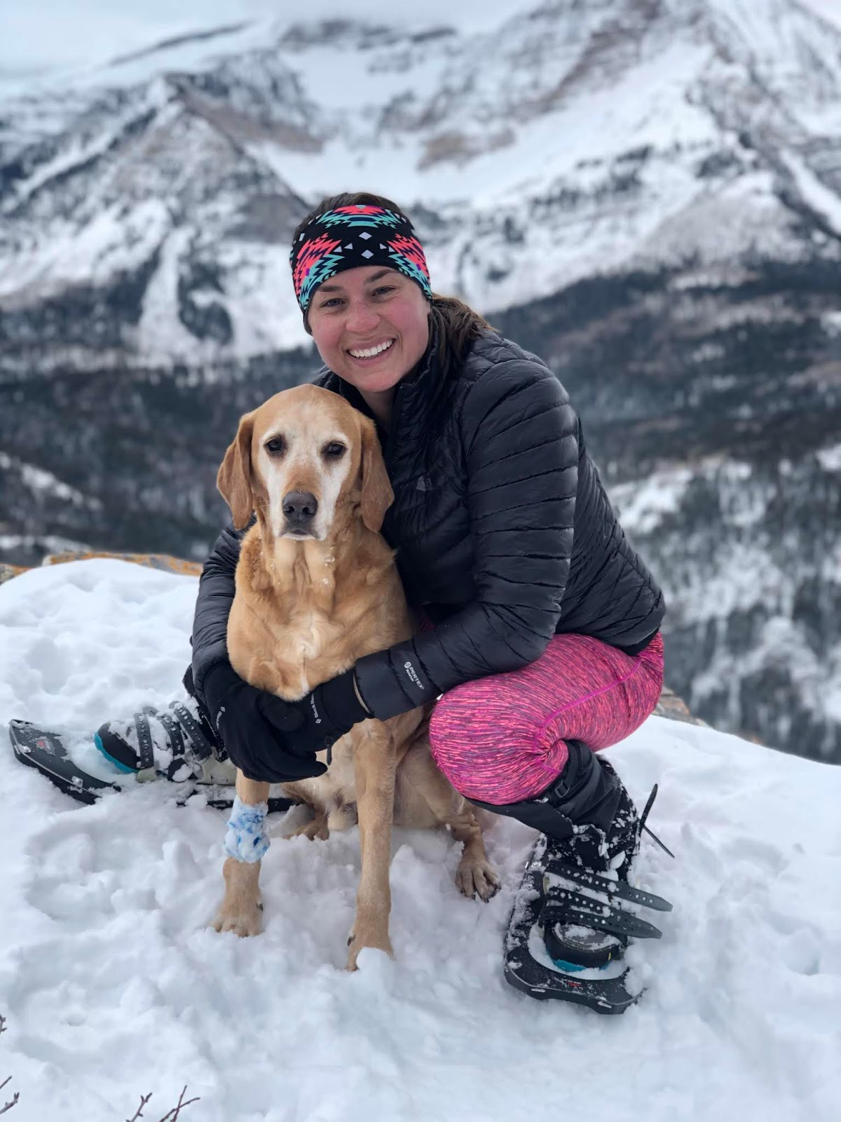
A new decade with my baby! Jan. 5th, 2020
Trail Map
My track via Gaia GPS – the best tracking app! Get your app here for a discount.
Nearby Hike
Horse Flat Trail, (aka Primrose Overlook) American Fork Canyon

Save me on Pinterest!
