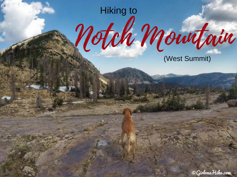

The West Summit of Notch Mountain (11,206 ft) is near “The Notch”, an opening in between the West and East summits. The Notch is the high, open area on the Notch Mountain Trail by Lovenia Lake and Twin Lakes. Hiking to the West summit is fairly easy for seasoned peak baggers, and offers a good intro to peak bagging for newbies. There is a trail all the way to The Notch, after that you need to find your own route. It’s not hard though, just steep hiking over medium sized boulders. Be careful where you step as some boulders are uneven – always test it out before putting all of your weight on the boulder.
About
Hiking in the Uintas offers a cool relief from the valley heat, but that means you’ll be hiking at an elevation of 10-11,000 ft. The Uintas are known for have daily afternoon thunderstorms as well, so be prepared for any kind of weather. Our original plan was to bag both the West & East summits of Notch Mountain, but rain moved in around noon with thunder and lightning so we had to skip the East summit. Hiking to the summits can be done as an out and back, or a loop (what I did). The loop is nice because you get to see different things, and if you have the time/energy you could also bag Mt. Watson, near Clyde Lake.
This peak is not for the beginner hiker or kids. You should be comfortable with heights, and steep, loose boulders. Dogs should do well, as long as they too, have plenty of peak bagging experience and their paws are used to hiking over rough terrain. There is plenty of water for the dogs to drink from on the trail, but you should have at least 1 liter on the way to the summit.
Directions
The trail starts from the Crystal Lake TH. Use this map if driving from SLC.
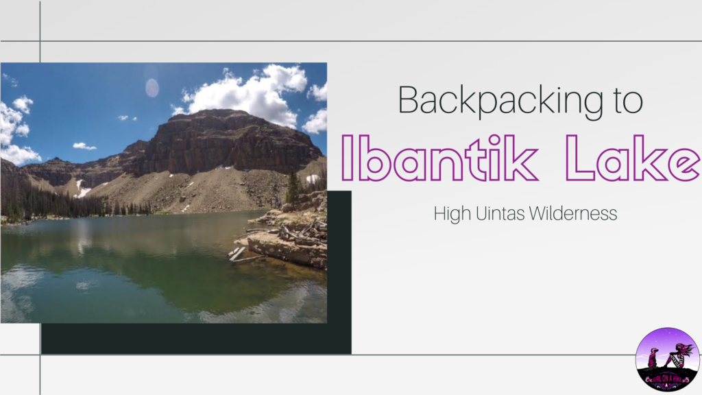
You could also hike in from the North, via the Ibantik Lake trail.
Keep in mind that the Mirror Lake Highway is only open from Memorial Day Weekend (unless snow delays the opening like in 2017) until the end of October (or whenever the snow arrives again).
Trail Info
Distance: 7 miles (loop)
Elevation gain: 1,300 ft
Time: 4-7 hours
Dog friendly? Yes, off leash
Kid friendly? No
Fees/Permits?
There is no permit, but there is a $6 fee (good for 3 days) for accessing the Mirror Lake Highway and trails. You can purchase the pass at the ranger station in Kamas, UT, or any of the self-serve stations along the highway. If you have an annual National Park Pass or annual American Fork Canyon Pass you can use either to park free.
The main parking area is almost always full when I hike at the Crystal Lake TH, so we had to park in the overflow/horse transfer area, about 1/2 mile down the road. There is a side trail that takes you behind the campground and then to the main parking lot.
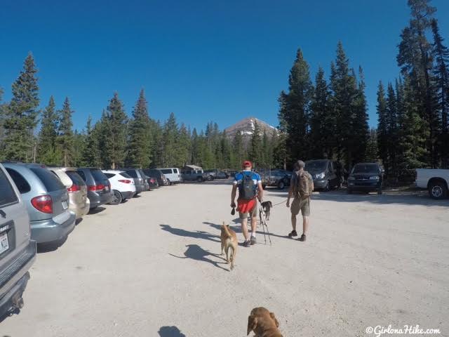
Hiking through the main parking area. The TH starts on the North side of the parking lot.
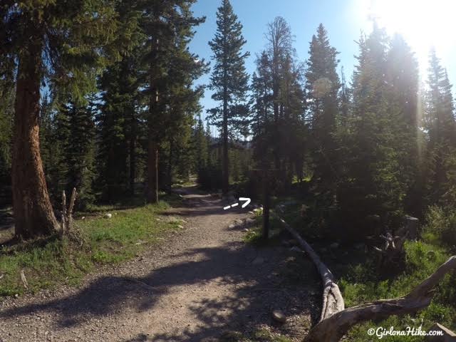
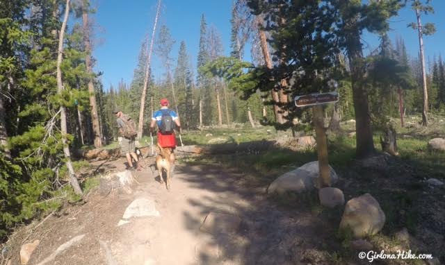
It’s really hard to see the TH sign, but this is the trail you want. It will say Wall Lake and The Notch.
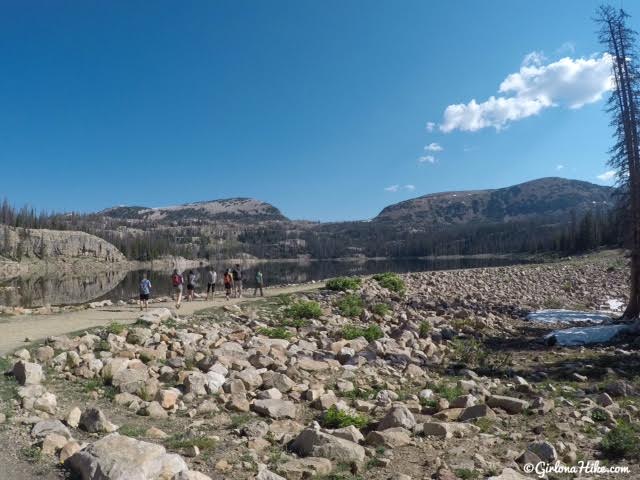
You’ll reach Wall Lake in 1 mile. You can see the West summit of Notch Mountain, above everyone’s head.
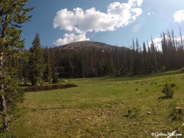
Beautiful Uinta meadow, just below the true/official Notch Mountain summit (East side).
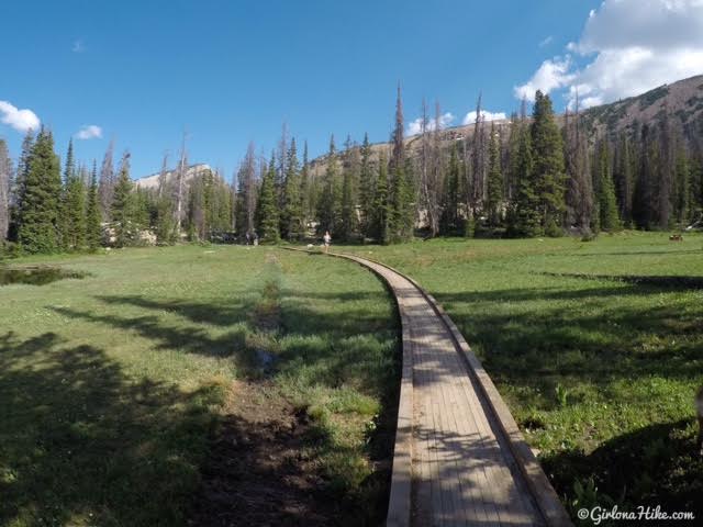
You’ll cross over a few boardwalks, where there’s marshy areas.
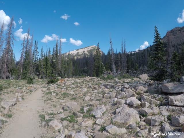
Getting closer, and climbing elevation!
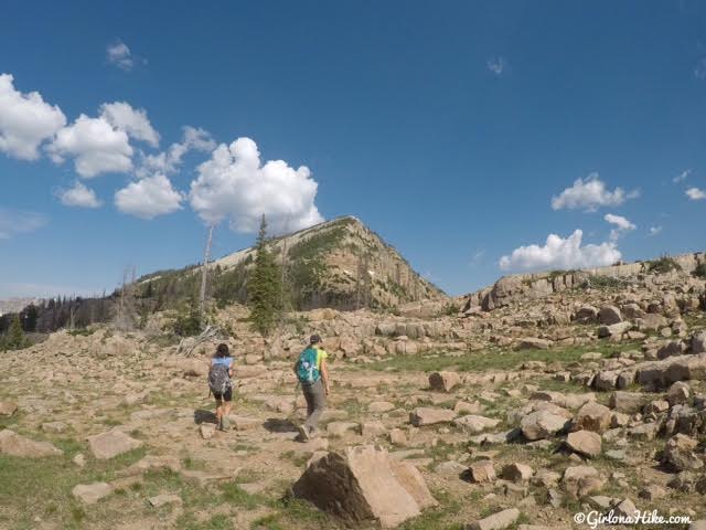
Once you reach “The Notch”, aim left towards the peak. You will now be hiking off trail.
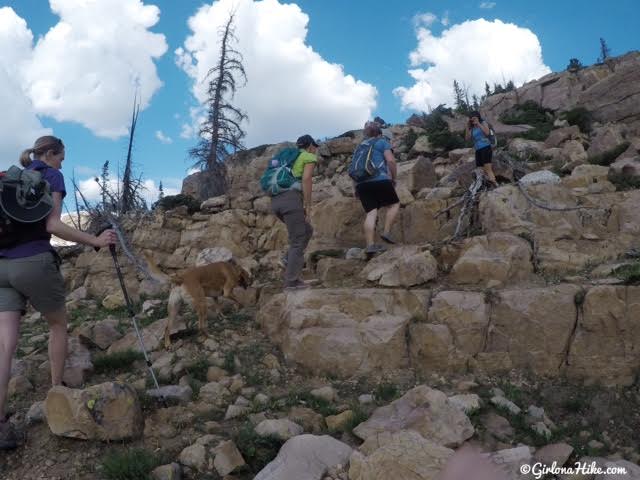
The “easy” section of the boulders.
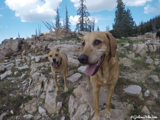
Suspicious dogs… 😉
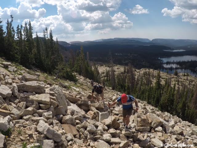
Working up the “hard” section of the boulder field. Instead of hiking literally straight up, hike up in switchbacks to make it a little easier. Look for the bigger boulders to step on – they are usually more stable.
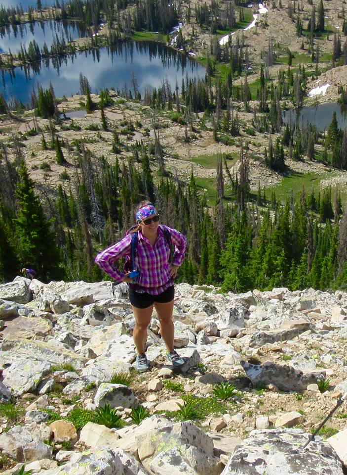
Whew! Taking a quick breather-break.
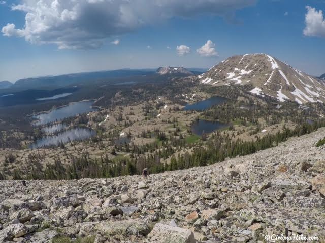
Wow, don’t forget to look back at your view!
Mt. Watson is the peak to the right.
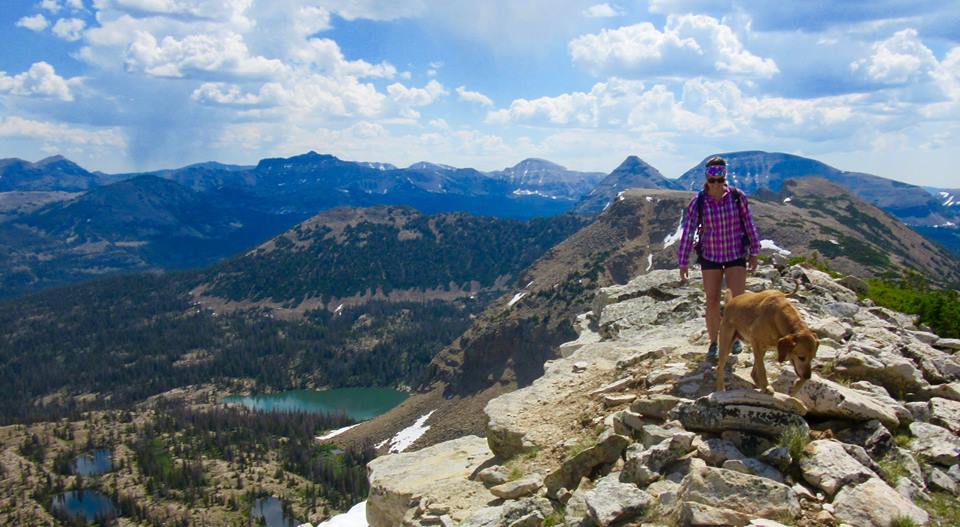
Finally on the ridge! The views are so amazing from here. You can see the storms we were moving in quickly in the distance.
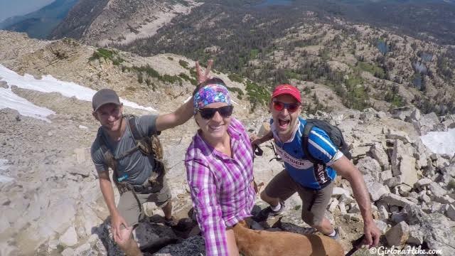
The things friends do when you aren’t looking!
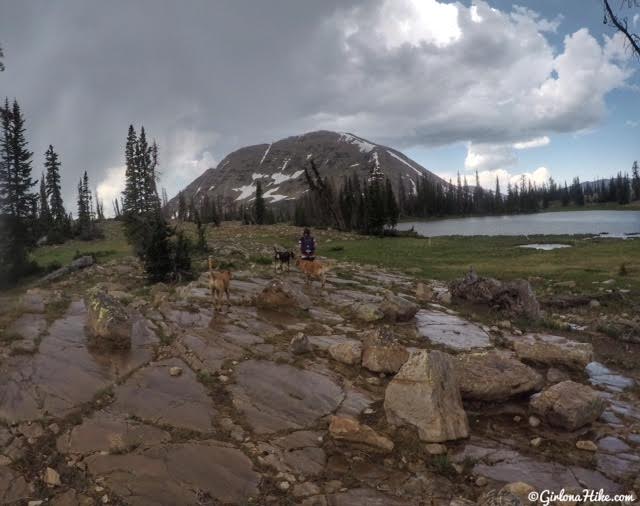
After hiking back down from the west summit, we decided to make a loop out of the day and hike towards Clyde Lake and Mt. Watson. Once again, there’s no trail connecting from the base of Notch Mountain over to Cylde Lake. As long as you aim for Watson, you’ll be fine. I also recommend downloading the Gaia GPS app. I’ve tracked over 700 miles on it, and being able to download maps has been really helpful.
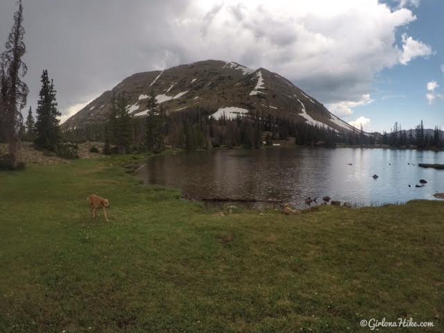
Stopping by Twin Lakes, below Mt. Watson.
You can see from the lake that the rain was in full downpour by now!
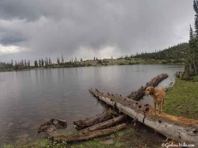
Back on the Clyde Loop Trail. More rain.
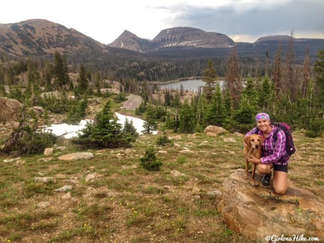
The rain stopped just in time to get an awesome photo with Charlie!
The peak left to right are: East summit of Notch Mountain, Reids Peak, Bald Mountain, and Murdock Mountain. Wall Lake is below us.
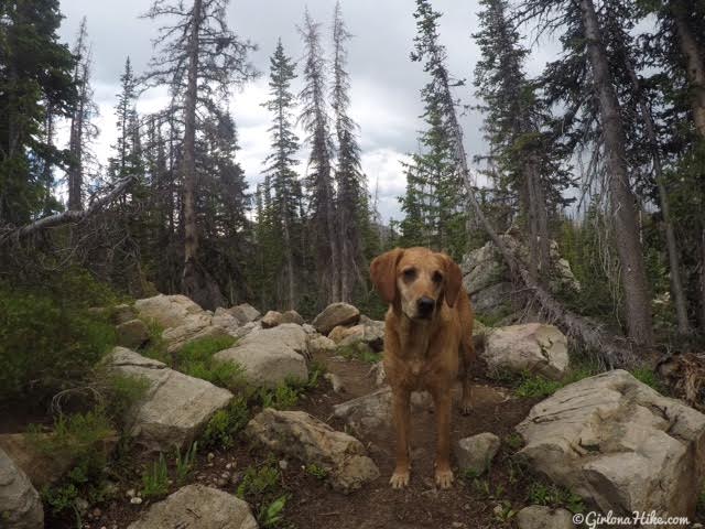
Continue following the Clyde Lake Trail as it passes by a few more lakes – the trail becomes more forested.
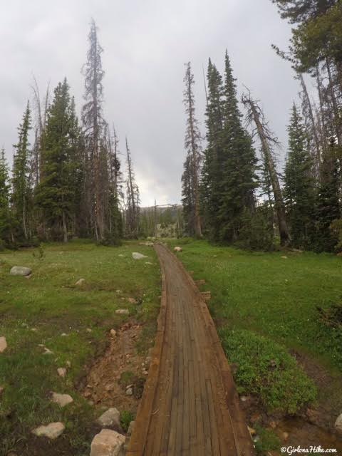
Make your way back to the Crystal Lake TH.
Trail Map
My track via Gaia GPS – the best tracking app! Get your app here for a discount.
Recommended Gear
Nearby Hike
Backpacking to Ibantik Lake, Uintas
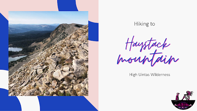

Save me on Pinterest!
