About
Directions
From SLC, head East on I-80, then south on I-215. Take exit 4, and turn left at the light. At the next light (Wasatch Blvd), turn left again. At the next light, turn Right, which will put you in Millcreek Canyon. Drive to the very end of the road (9 miles), and park in the big lot. Sometimes parking is full, so you may need to park at the Little Water TH parking lot, then walk up. The trail starts in the Eastern-most side of the parking lot. Restrooms are available.
Trail Info
Distance: 7.6 miles RT
Elevation gain: 1,940 ft
Time: 3-5 hours
Dog friendly?
Yes, off leash on ODD days in Millcreek. Must be leashed on EVEN days.
Kid friendly? Yes
Fees/Permits? $5 fee upon exit of Millcreek Canyon. No permit.
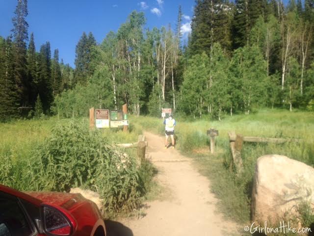
The trail starts in the Eastern-most side of the parking lot. We started hiking at 6:30pm on a Tuesday, and this parking lot was full. Arrive early or at an odd time of day to get parking.
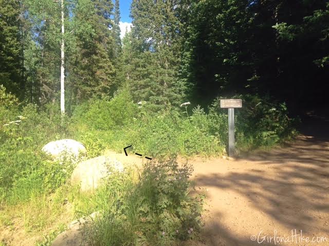
At the first trail split, turn left. This will put you on the Old Red Pine Road trail.
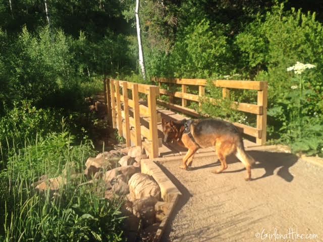
Cross the bridge. This is a good place to let the dogs get a drink and play in the stream.
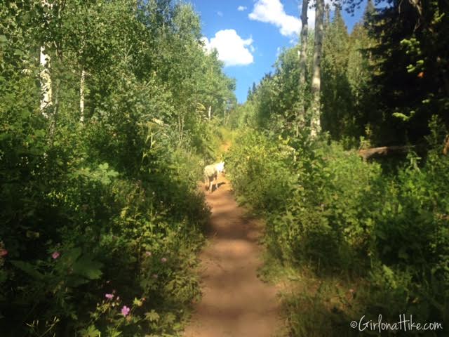
About 100 yards past the bridge you’ll see another unsigned trail split. Stay left! Going right just leads you down to the stream.
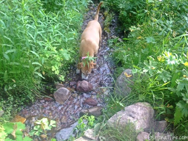
A small stream along the trail was perfect for the dogs to drink from!
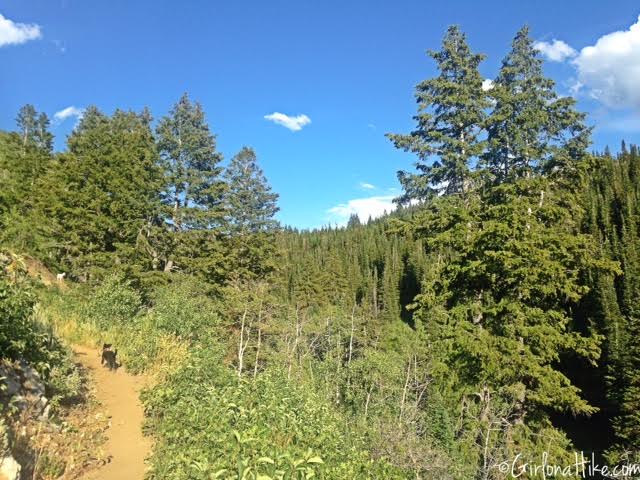
The trail gains elevation pretty slowly, and starts to open up.
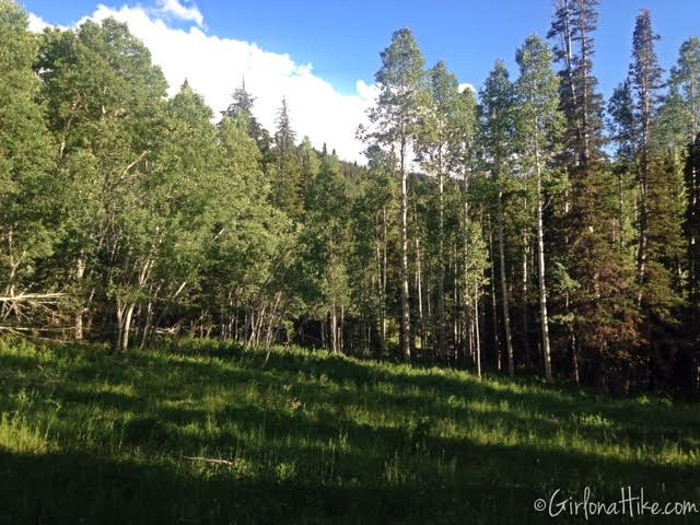
You’ll pass a small meadow to your right.
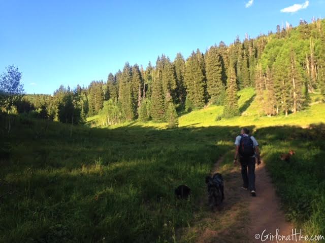
And then you’ll pass a big meadow to your left. You’ll cross one more bridge, and you’ll want to stay left again.
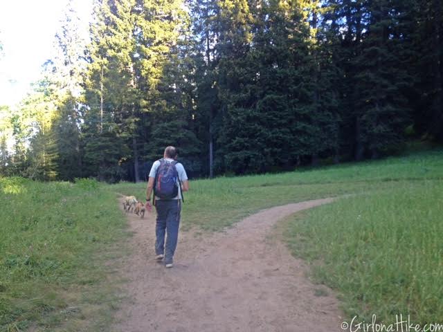
Follow the Great Western Trail East for another 1-1.5 miles. You’ll then reach another trail split on the ridge. Continue left.
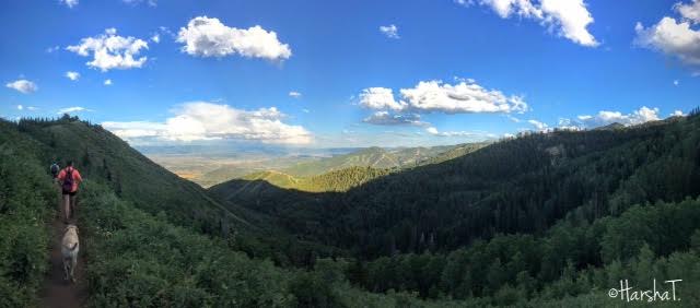
This part of the trail is known as the “Park City Overlook”, and is often a stopping point for many people. From this spot, you are only 1 mile away from Murdock Peak!
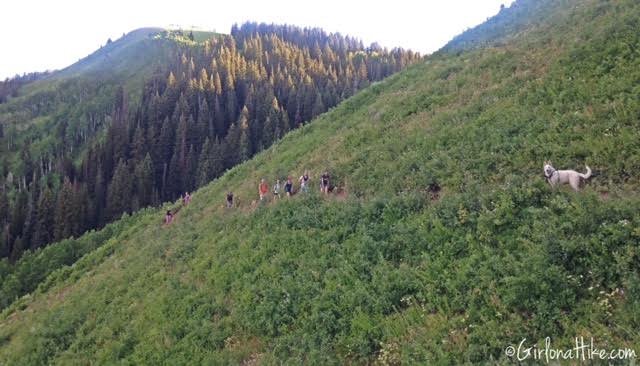
Looking back at the rest of the group.
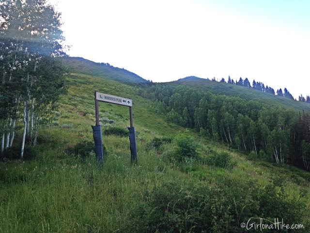
You’ll come to another intersection, and see a chair lift to your right, and the ski sign for Murdock Peak to your left. Head up this steep hillside, following the game trails until you reach the next ridge. If you haven’t noticed, all trail splits are LEFT.
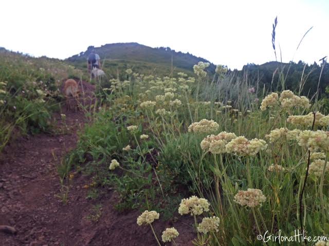
Hiking up the steep hillside…
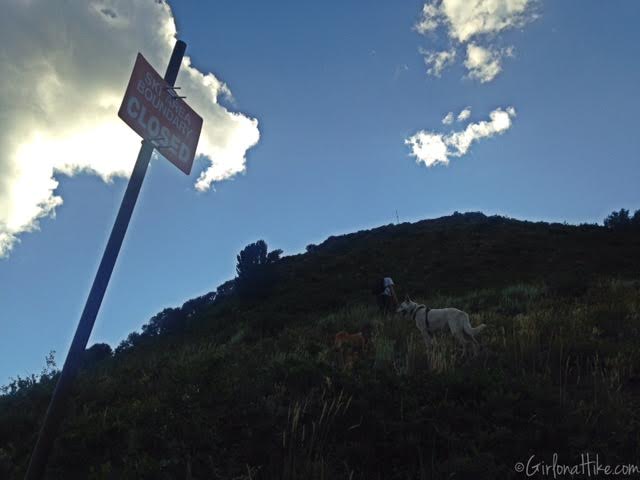
There seemed to be a good game trail close to the Ski Boundary signs. As long as you stay near these as you work your way up, you’ll make it to the ridge.
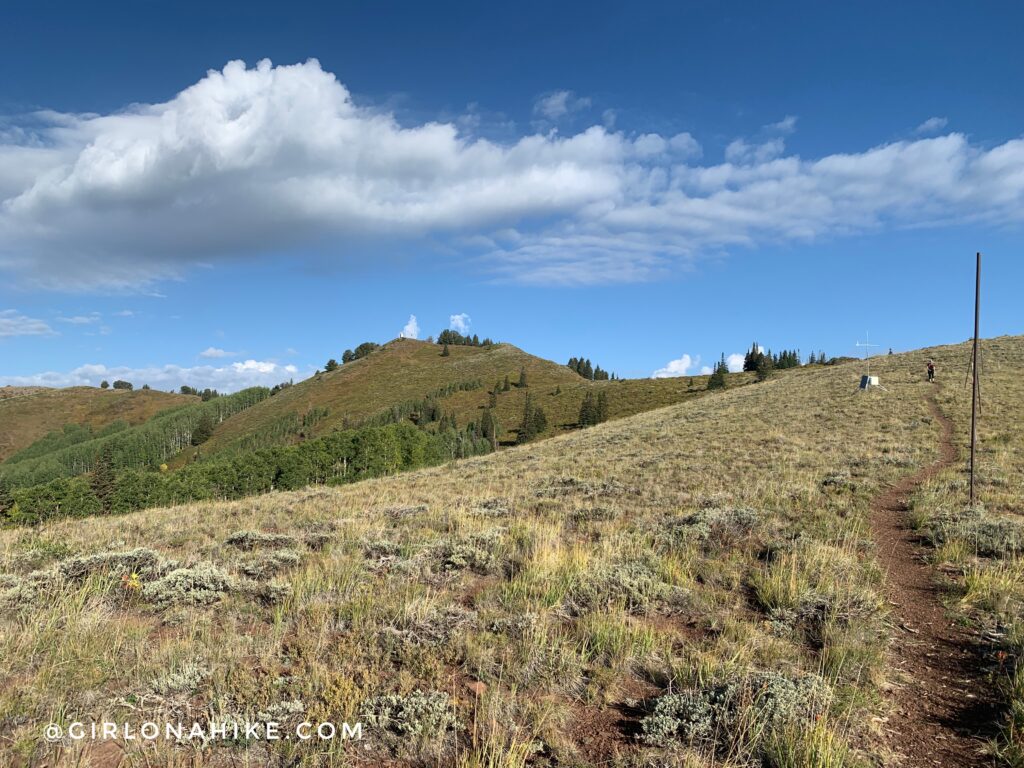
Ahh, finally on the ridge. Only another 10 minutes from here to the summit!
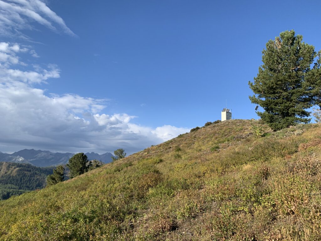
As you work your way up to Murdock Peak, you’ll have amazing views of the Big Cottonwood Canyon ridgeline to the South.
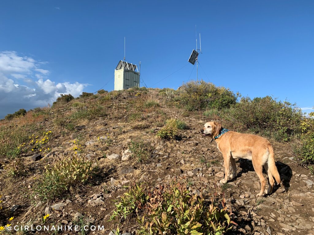
Charlie leads the way to the peak.
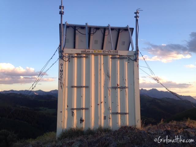
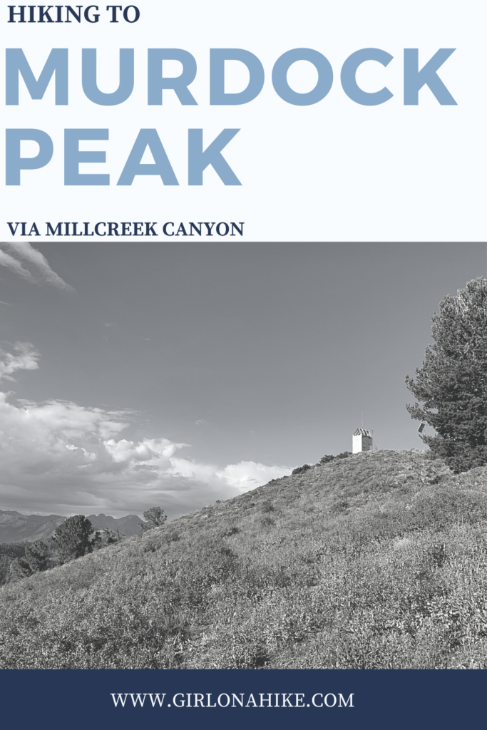
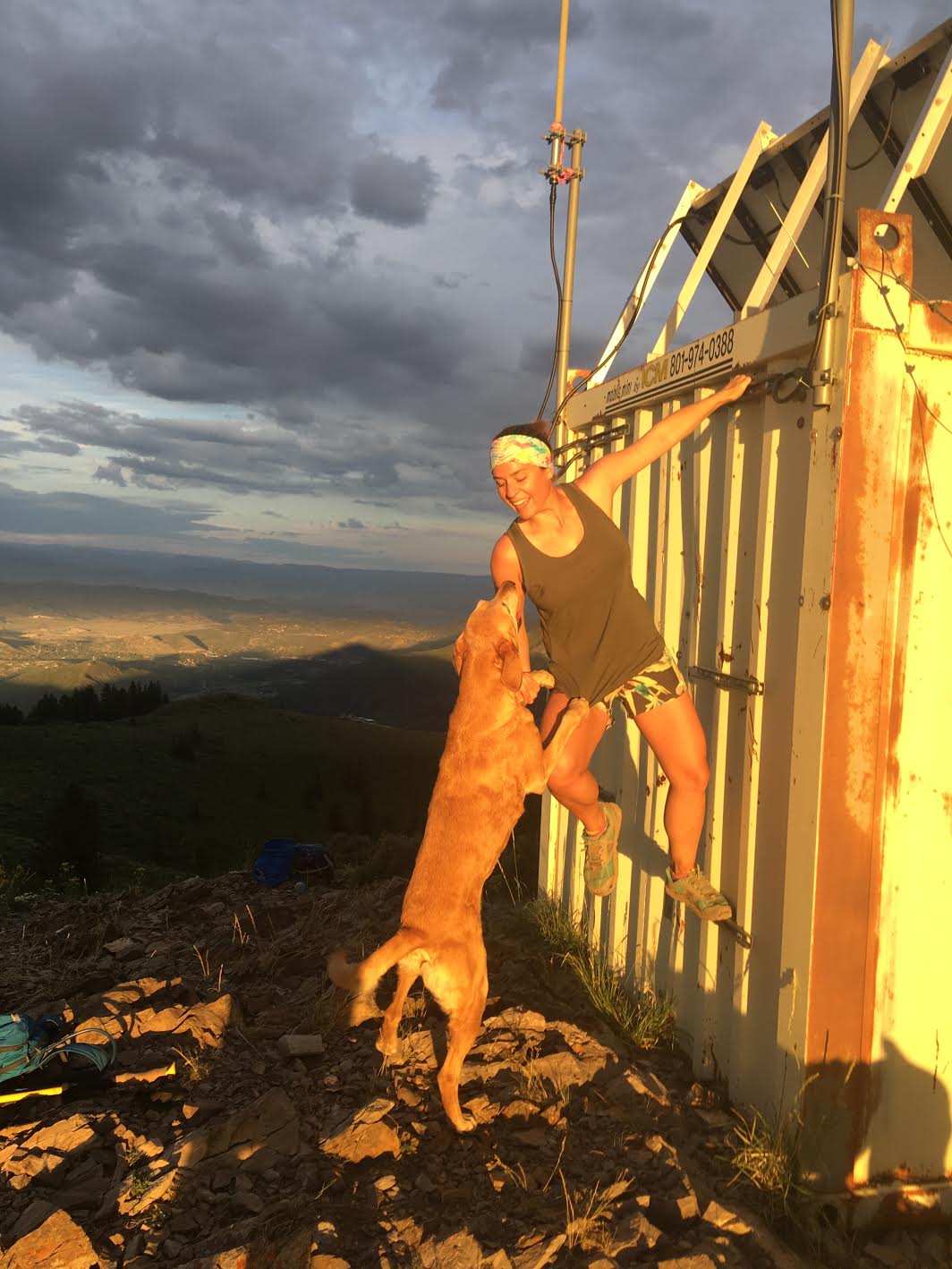
On the summit of Murdock Peak is an old electrical shelter/box.
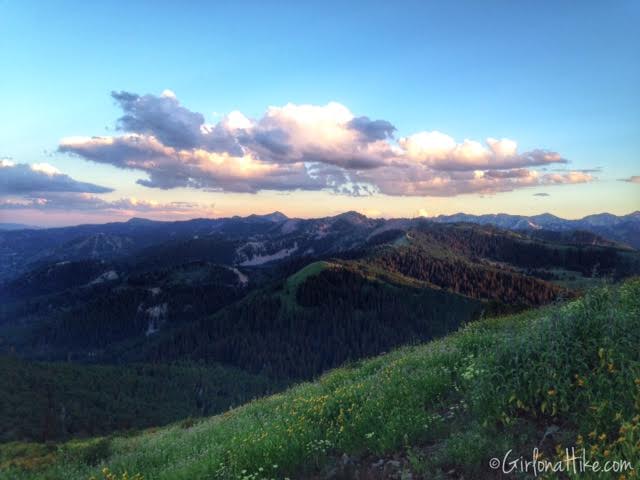
From the summit looking South.
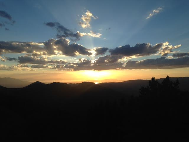
Just in time for the sunset! The peak can be very windy and chilly, even in summer. Plan on bringing a long sleeve shirt or light puffy.
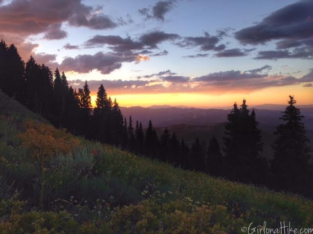
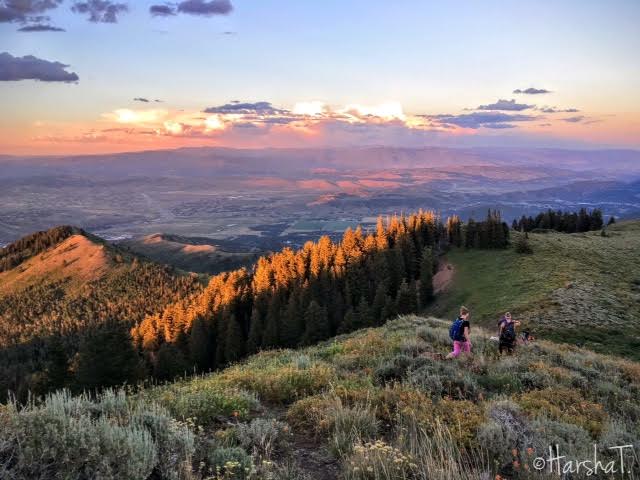
Working our way down from the peak, the same way we hiked up.
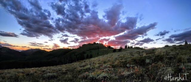
July 2018

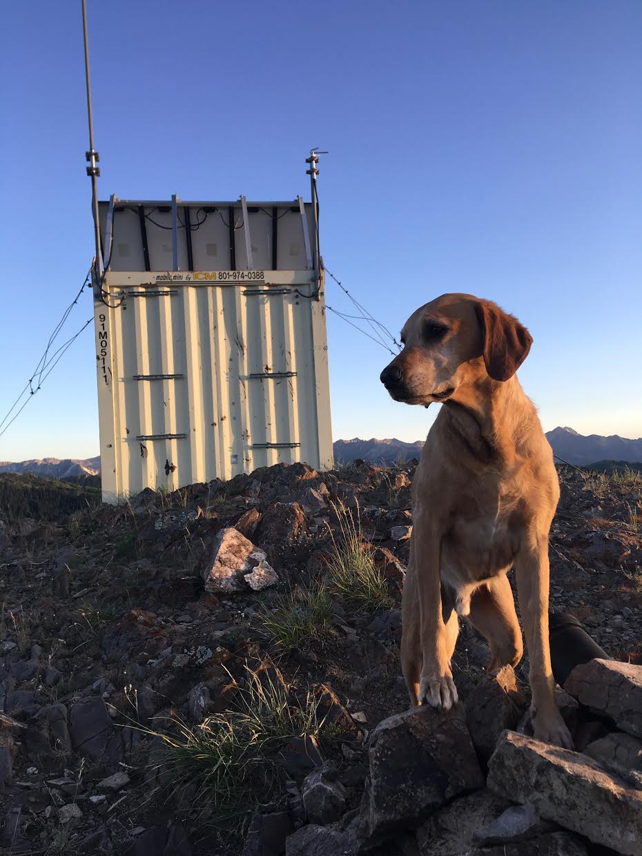
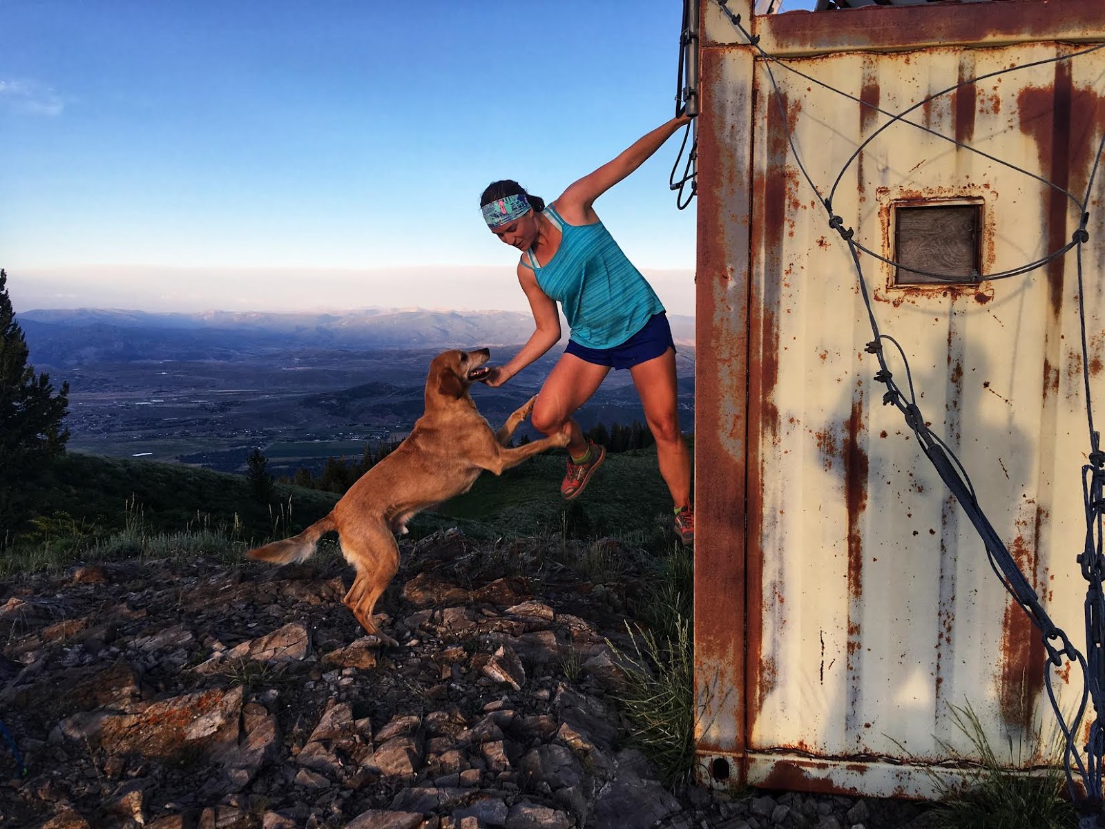
July 2019
Trail Map
My track via Gaia GPS – the best tracking app! Get your app here for a discount.
Nearby Hike
Hiking to Dog Lake, Millcreek Canyon

Save me on Pinterest!
