
About
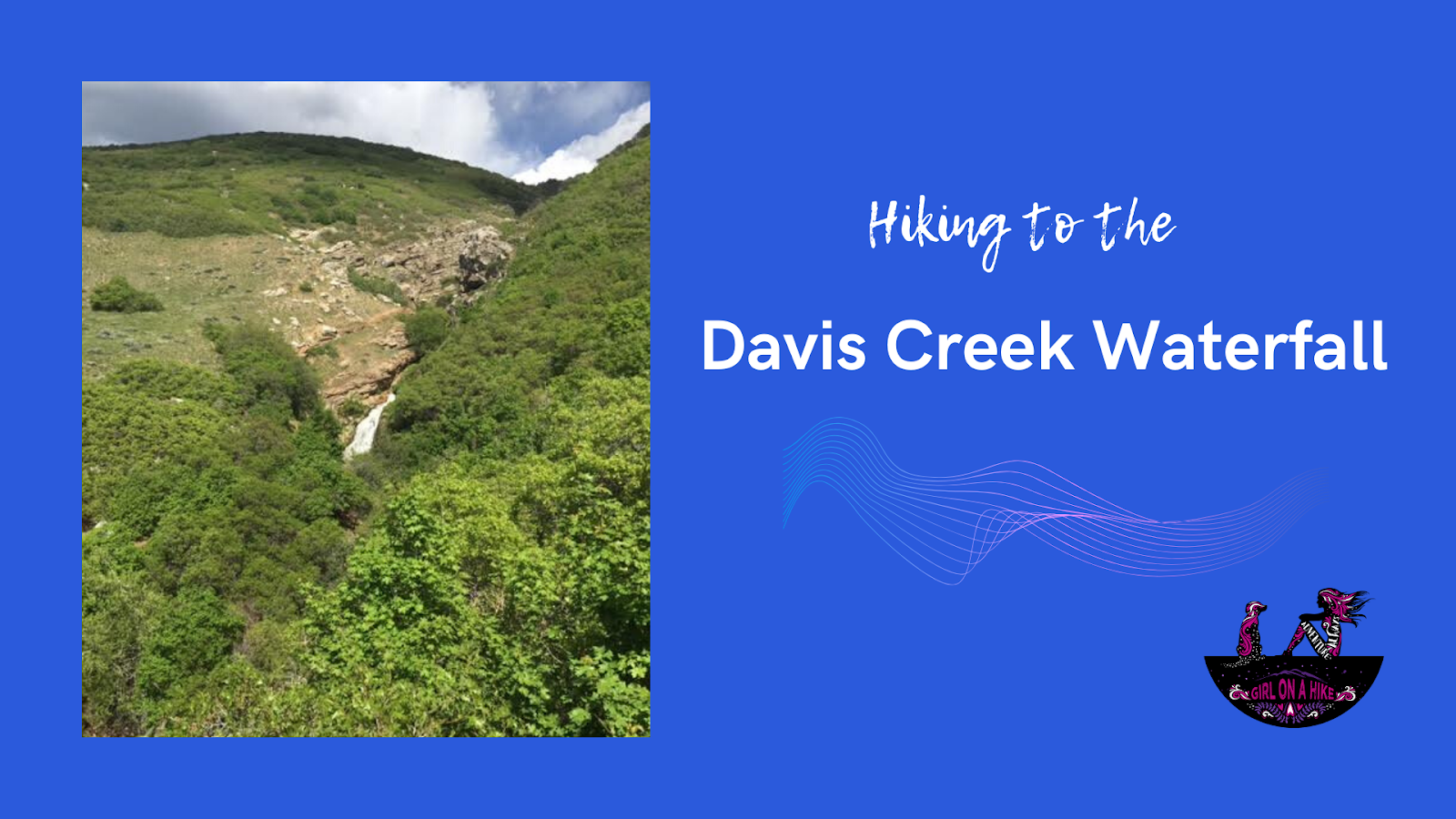
My two favorite things about this trail are that dogs are allowed off leash, and of course, the waterfalls itself. The one part I didn’t like, was there was zero breeze through the dense shrub. We started hiking at 4pm, and the afternoon sun combined with no wind made this trail feel like a sauna. I suggest starting early in the morning to beat the trapped in heat. Supposedly there are “Indian Bathtubs” along this trail at the waterfall, but because the water was raging from all the snow melting, we couldn’t see them. I imagine that this trail is prettier in Fall. If you have time for a longer hike, I suggest going all the way to the 2nd Falls, another one mile past the first falls.
Directions
If driving from SLC, use this map. You will park at the reservoir on your right, in the large parking lot. The trail actually starts about 100 yards up the road from here, but as of April 2020 only residents were able to drive beyond the reservoir. There are no restrooms.
Trail Info
Distance: 1 mile to 1st Falls, 2 miles RT to 2nd Falls
Elevation gain: 423 ft to 1st Falls, 1200 ft to 2nd Falls
Time: 1 hour to 1st Falls, 2 hours to 2nd Falls
Dog friendly? Yes, off leash
Kid friendly? Yes, but only to 1st falls
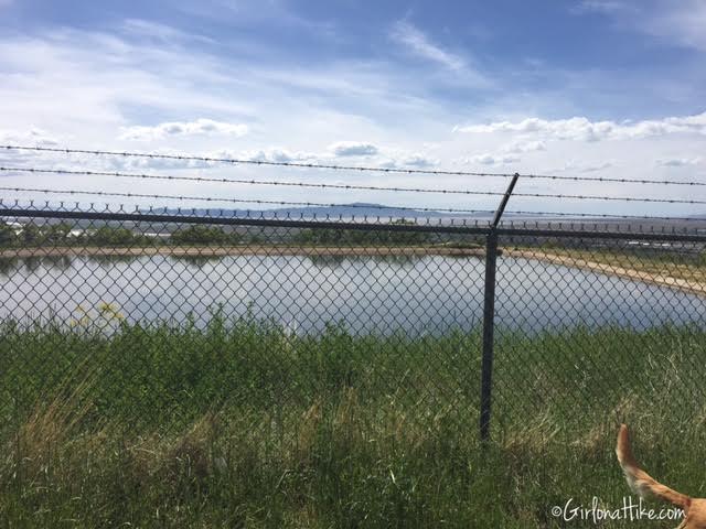
Look for the reservoir on your right.
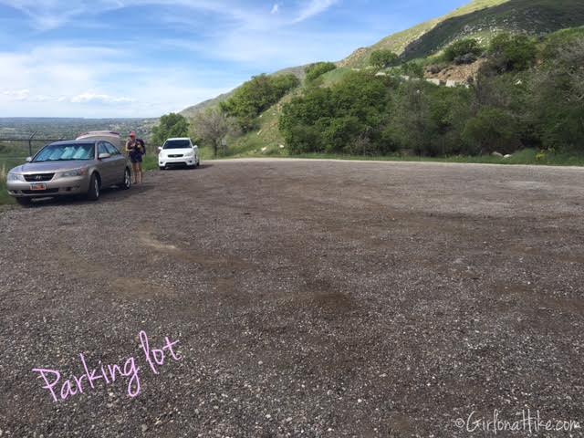
The very large parking lot for the trailhead.
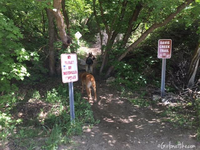
As you walk up the road, you’ll pass the Triumph Trail on the left. The Davis Creek Trail is about 50 yards past that TH, on your left, and starts in a very shaded area.
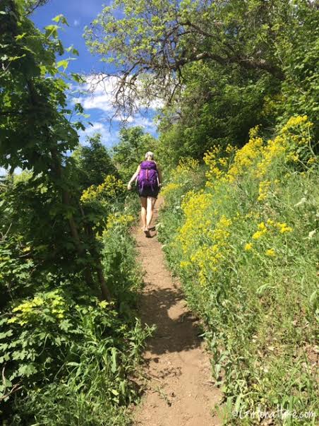
The Davis Creek Trail immediately gains elevation.
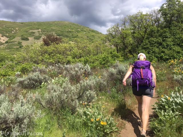
After 10 minutes the trail will start to level out a little, and you will have a nice view of the hillside.
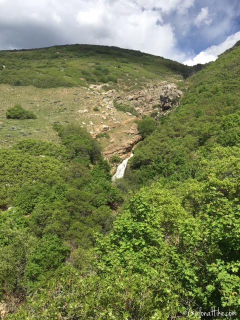
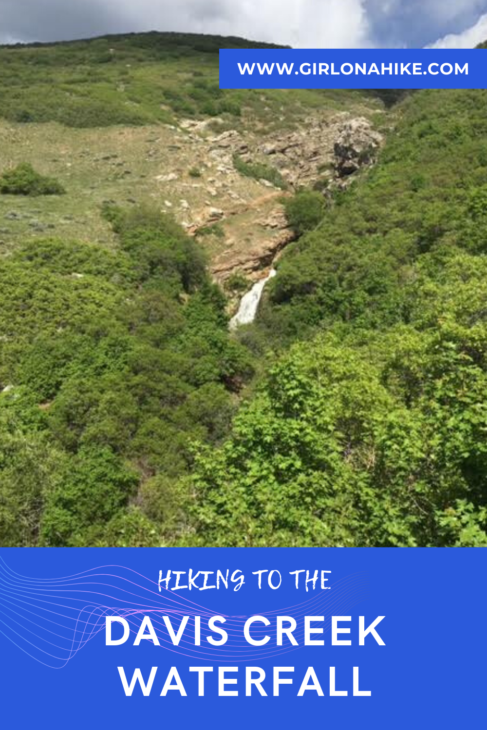
At the bench on your right, you will be able to see Davis Creek Waterfall. Continue along the trail, and at the first unsigned trail split, veer left. It is just before an official trail split with signs.
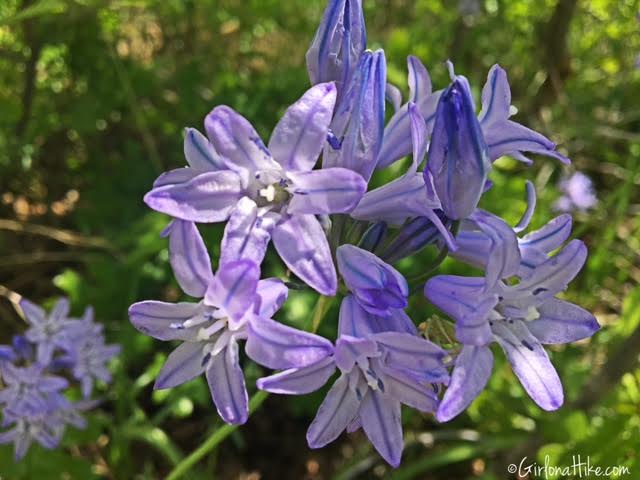
Beautiful flowers were everywhere along the trail.
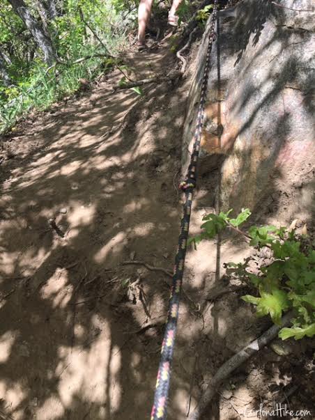
Just after you turn left on the first trail split, you should see this rope to help the little hikers up this section. As of April 2020, the rope was no longer there.
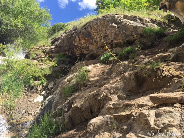
Climbing down by the waterfall are more ropes to help hikers up.
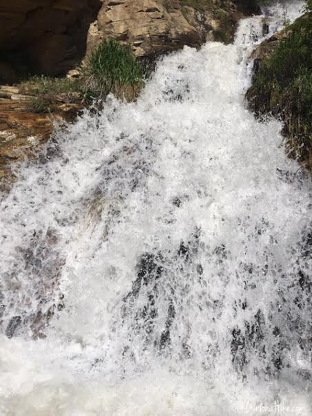
Too much water to see the Indian Bathtubs!

April 2020 – way less water this time but I still didn’t see the Davis Creek Waterfall “bathtubs”. Maybe I’m just looking too hard, but at least the view of the falls is awesome here!

Whew, that’s a drop! Keep your kids safe here.
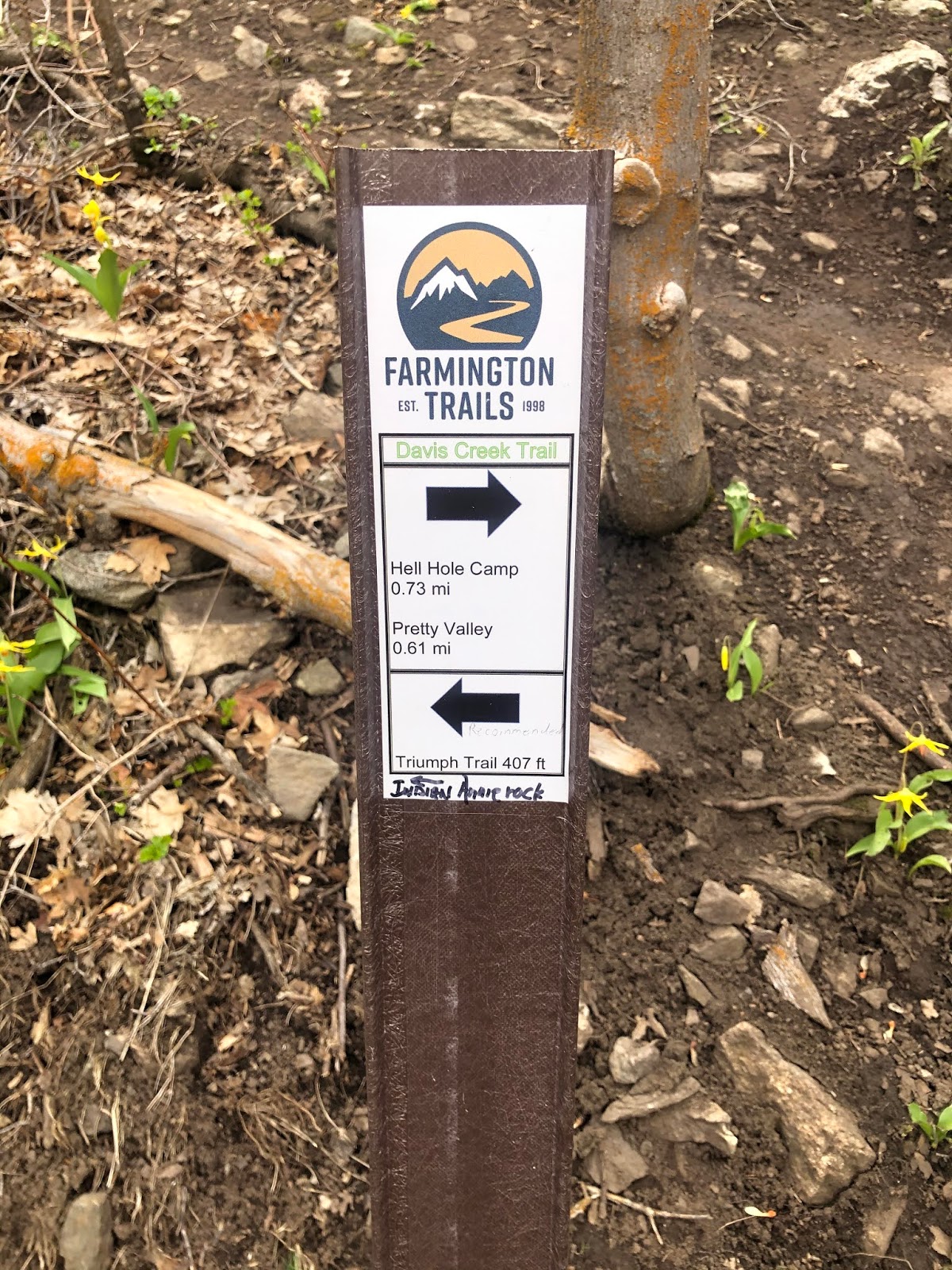
After checking out the waterfall, head back up the main trail, and you will come to another trail split. We decided to go left, but if you continue straight, it will make for a longer hike but will also take you to the 2nd Falls. To get there, follow all signs for Hell Hole Camp. More directions to the 2nd Falls below.
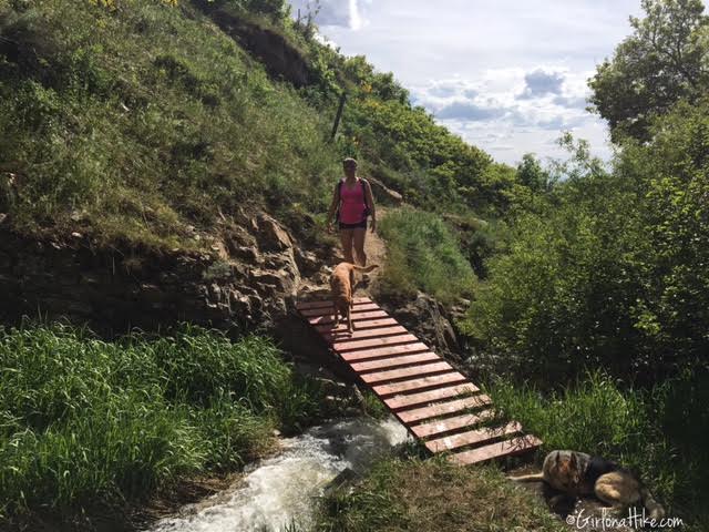
Crossing the only bridge.
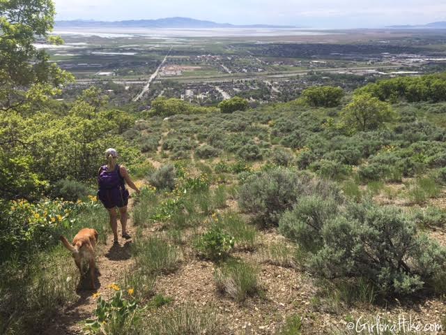
We hiked our way down the Triumph Trail with a view of Farmington, UT ahead of us.
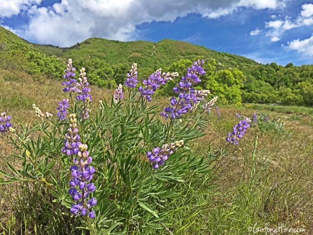
Although it was hot and dry on this afternoon hike, we found even more flowers.
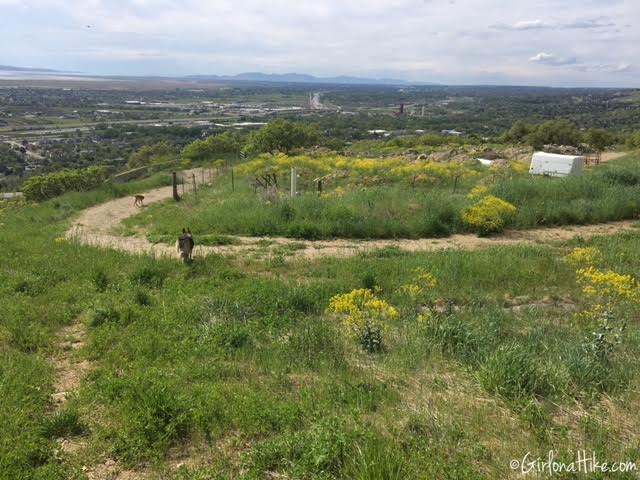
The Triumph Trail connects to the BST, and once you get here, turn left to reach your car, making a loop.
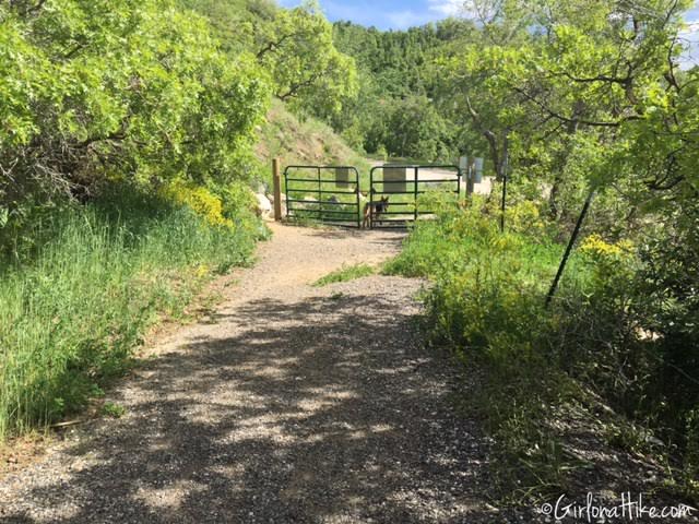
Pass by this gate, and you’ll be back to the parking lot.
Directions to 2nd Falls

This is the trail sign right by the 1st waterfall. Go straight following signs for Hell Hole. The sign says 0.73 miles, but I tracked 1 mile exactly.

The trails is very steep – this was the one flat section.
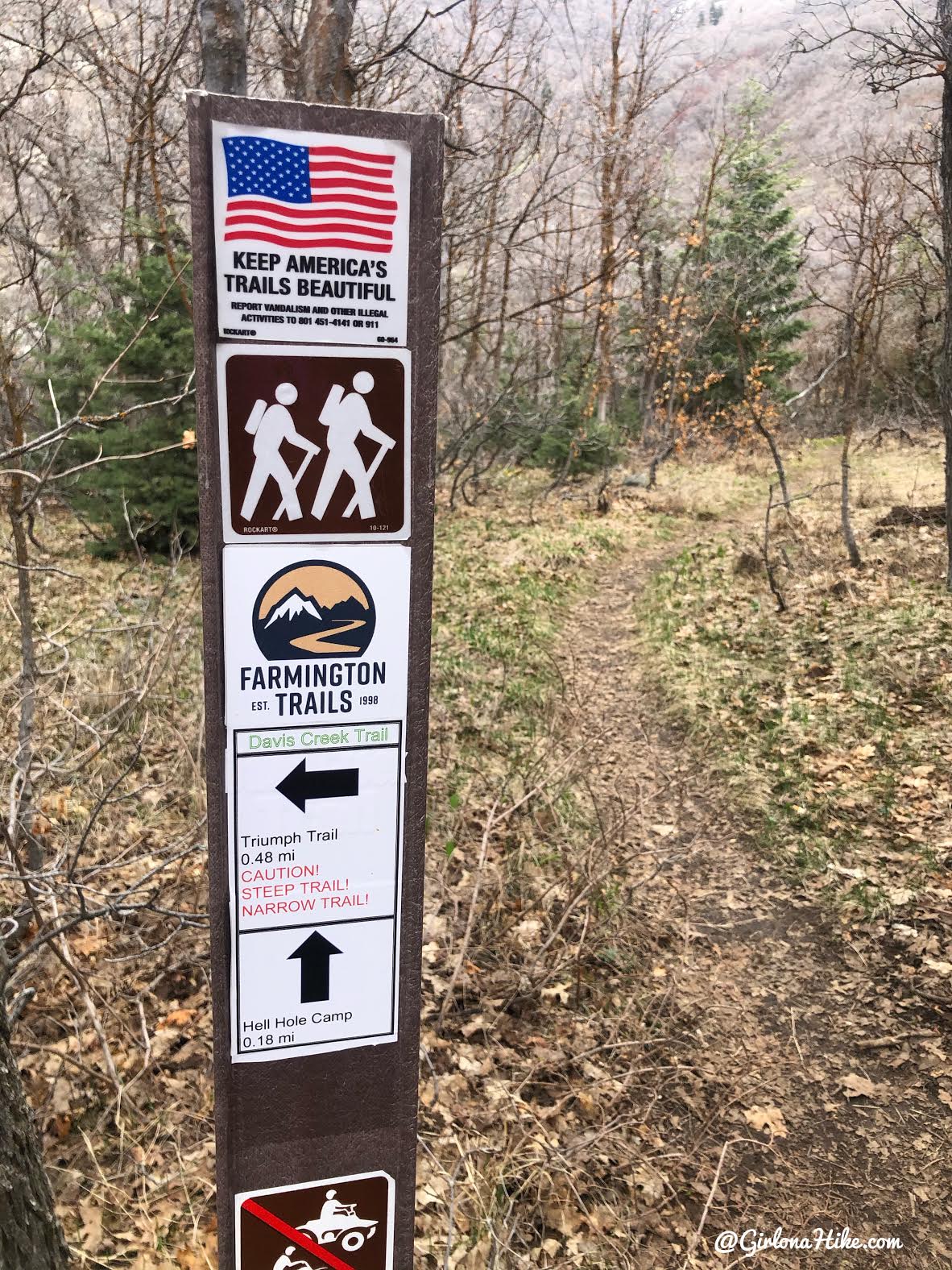
Keep right for the falls. I took this trail left to get back, but I wouldn’t recommend it. Just as the red text says, it is very steep, narrow, and on a ledge. I had to sit on my butt to slide down in two sections.
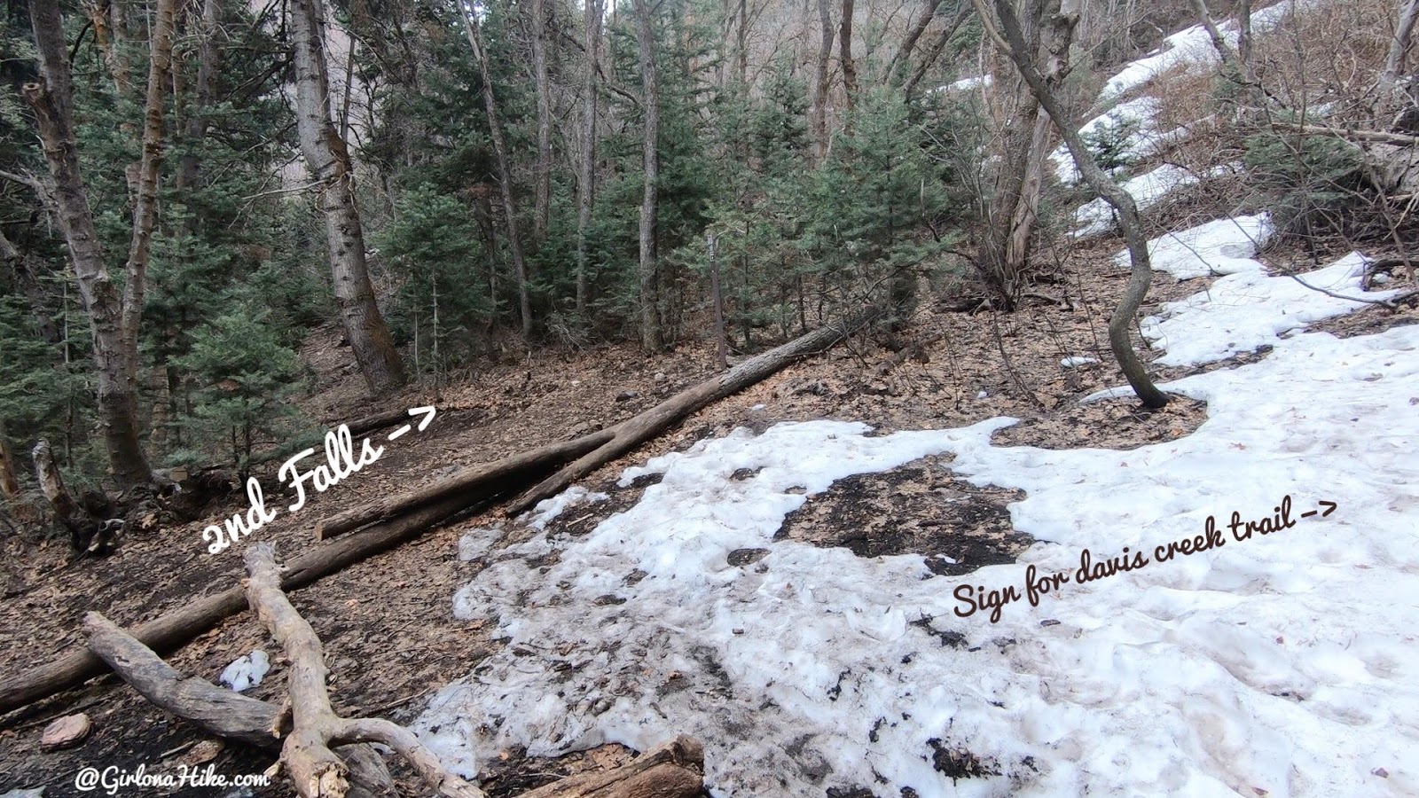
When you reach Hell Hole Camp, you will see a sign off to the right to continue on Davis Creek Trail. However, to get to the 2nd falls, follow the unsigned path in a NE direction from camp for another 100 yards.
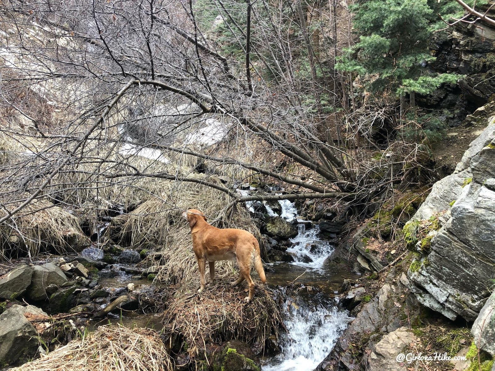
You will now be at the creek again, follow the light path along the right side (you can barely see it here). You will have to climb around one rock, but I was able to do it myself. Kids will need help.
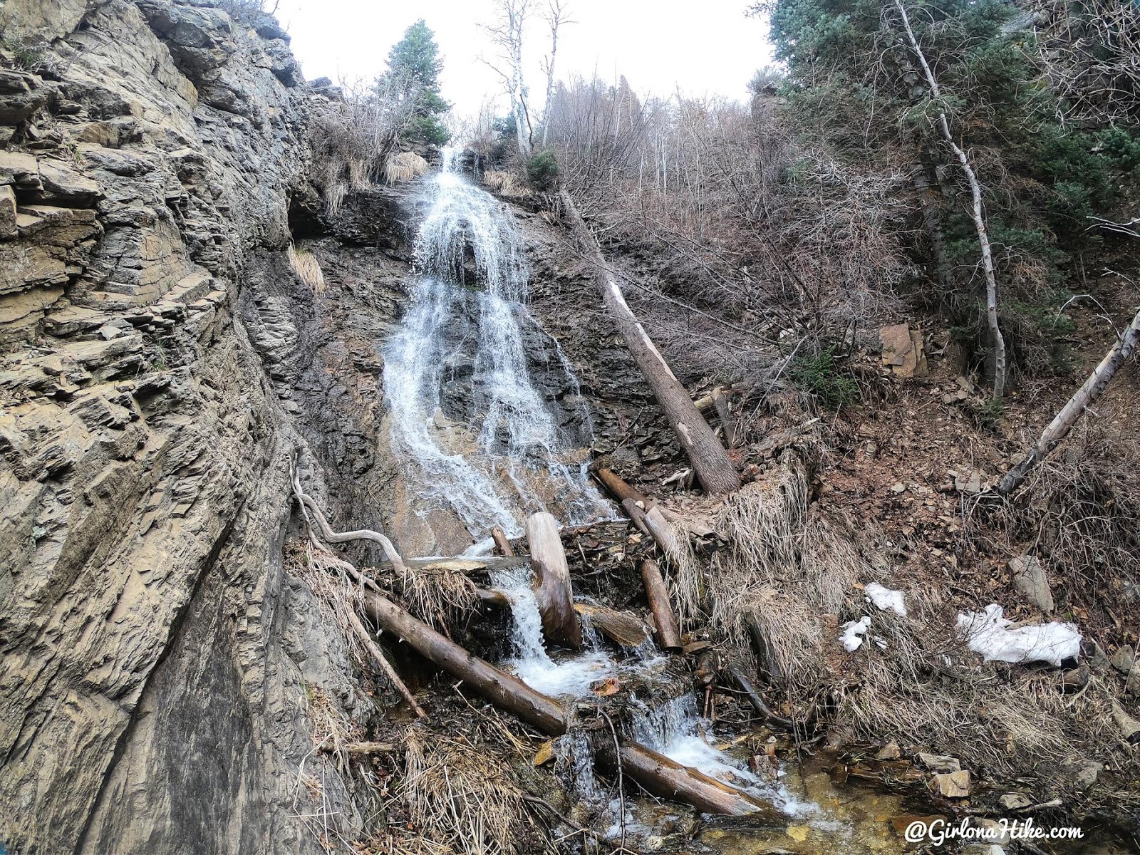
Then the 2nd Falls will be right around the corner! Wow, so cool!

Loved this section of the hike – it was super steep to get here but I didn’t see another person and the falls were worth the effort!
Check out my video!
Trail Map
My track via Gaia GPS – the best tracking app! Get your app here for a discount.
Davis Creek Waterfall – trail map of the area. The main loop most people do and the one that is perfect for kids is the red line. Orange is very steep, but leads to the 2nd waterfall. The blue line is very steep, narrow, and along the cliff. I would not recommend this trail to anyone.
Nearby Hike

Save me on Pinterest!
