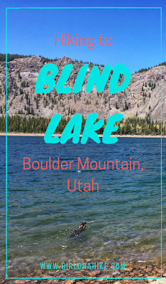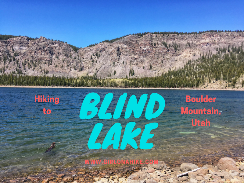

Blind Lake is located on Boulder Mountain in Utah – it is the deepest and biggest lake on the mountain at 52 acres and 52 feet deep. Most people come to the lake to fish for trout, but there the trail itself is great for dogs, kids, and families.
About Blind Lake
Blind Lake is only 1 mile to reach Blind Lake, but you can continue on to Pear & Fish Creek Lake, and the Beaver Dam Reservoir.
If you hike to all lakes, the trail will be 6 miles RT. Our pup friend Bear was recovering from hiking the Behunin and Meeks Lake Trail, so I decided to just hang out at Blind Lakes, while my friends continued on. Boulder Mountain has about 60 high-elevation fishable lakes, including Deer Creek Lakes area. While may of the lakes are tiny or run as stocked fisheries, trophy-size trout are not uncommon here in Blind Lake.
Directions
Drive south of Torrey, UT on HWY 12 for 5 miles. Turn right on N Slope Road, where there is a large brown sign for Blind Lake. Follow the signs for 8 miles until you reach the TH. 4×4 drive is recommended, however a mini SUV or larger should be fine. Small, passenger cars may not be able to make it. It depends on road conditions. Here’s a driving map.
Trail Info
Distance: 2+ miles RT
Elevation gain: 466 ft
Time: 1-2+ hours
Dog Friendly? Yes, off leash
Kid Friendly? Yes
Fees/Permits? None
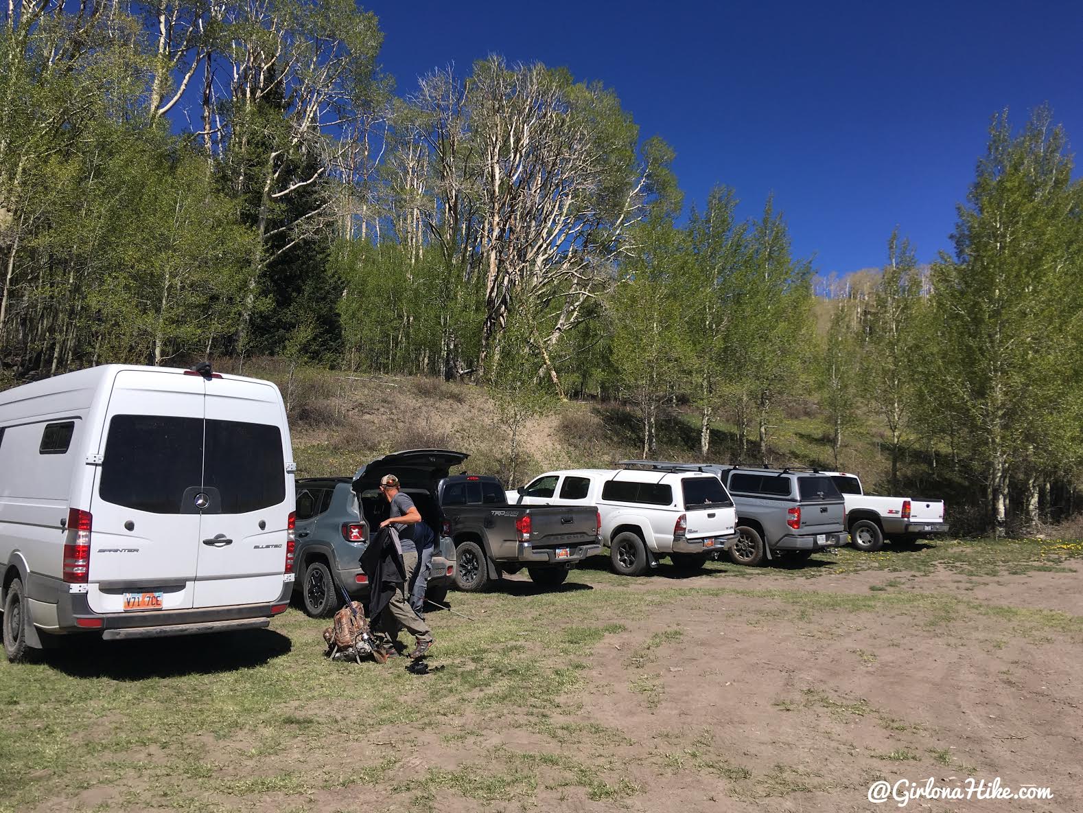
Blind Lake TH
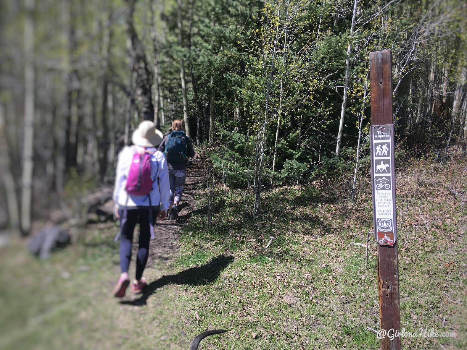
The trail starts in the SW end of the parking area.
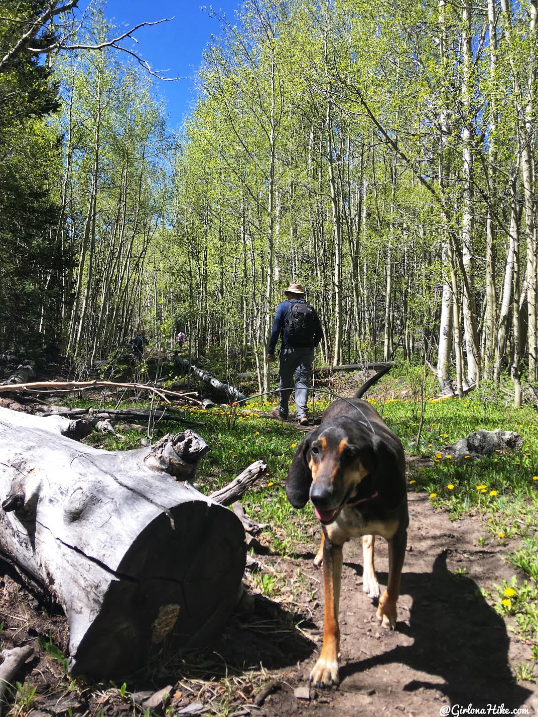
The trail is very well shaded from Aspens and Ponderosa trees. Copper checks back on us.
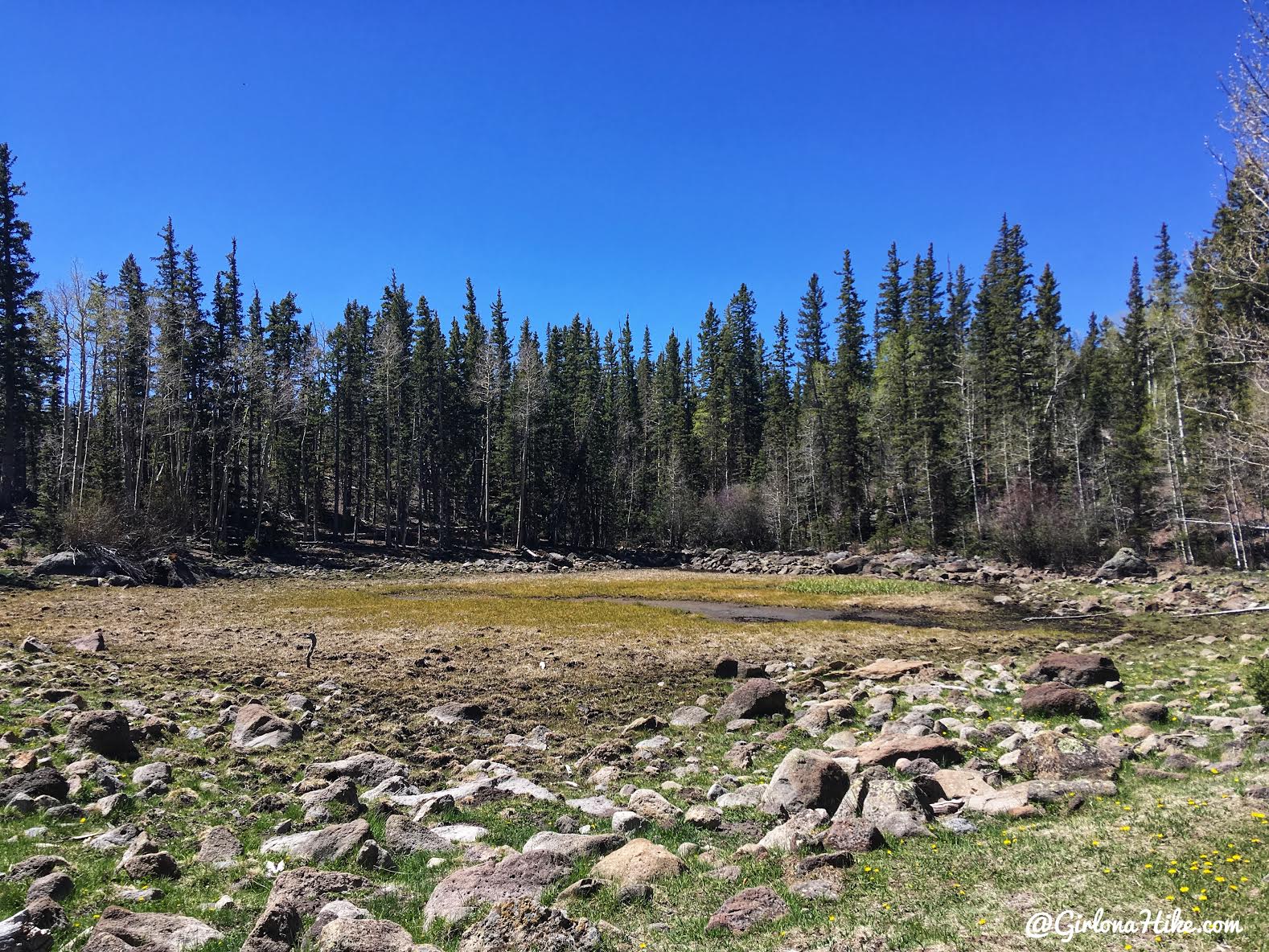
Pass by a mucky meadow on your left.
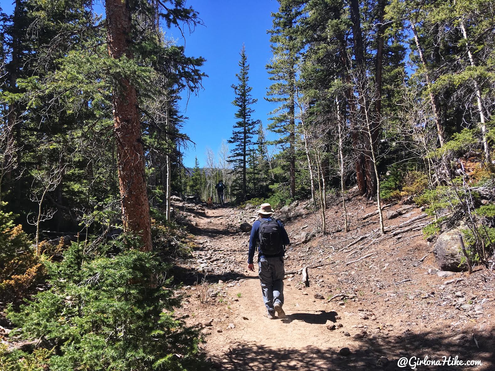
The trail is very easy to follow, and only gains 466 ft. But because you are hiking at an elevation of 10,000 ft it will feel harder.
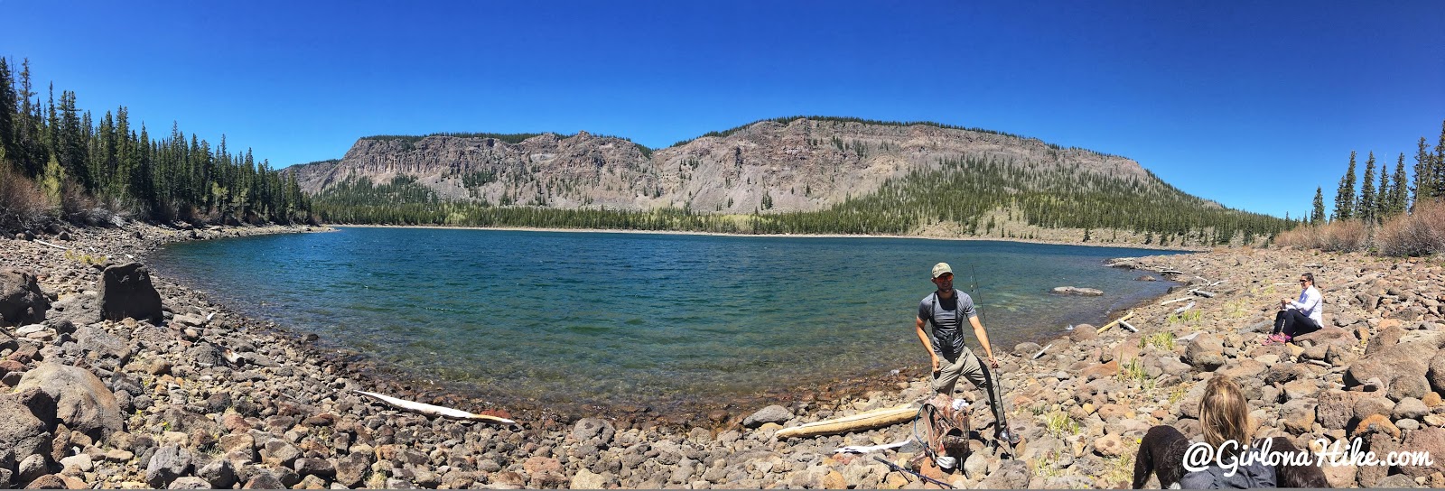
After 1 mile you will reach Blind Lake! Now its time to pick your favorite fishing spot. Be prepared for much cooler temperatures and high winds – even in summer you’ll want to bring a light puffy coat or long sleeve shirt with you.
Charlie soaks up the sun.
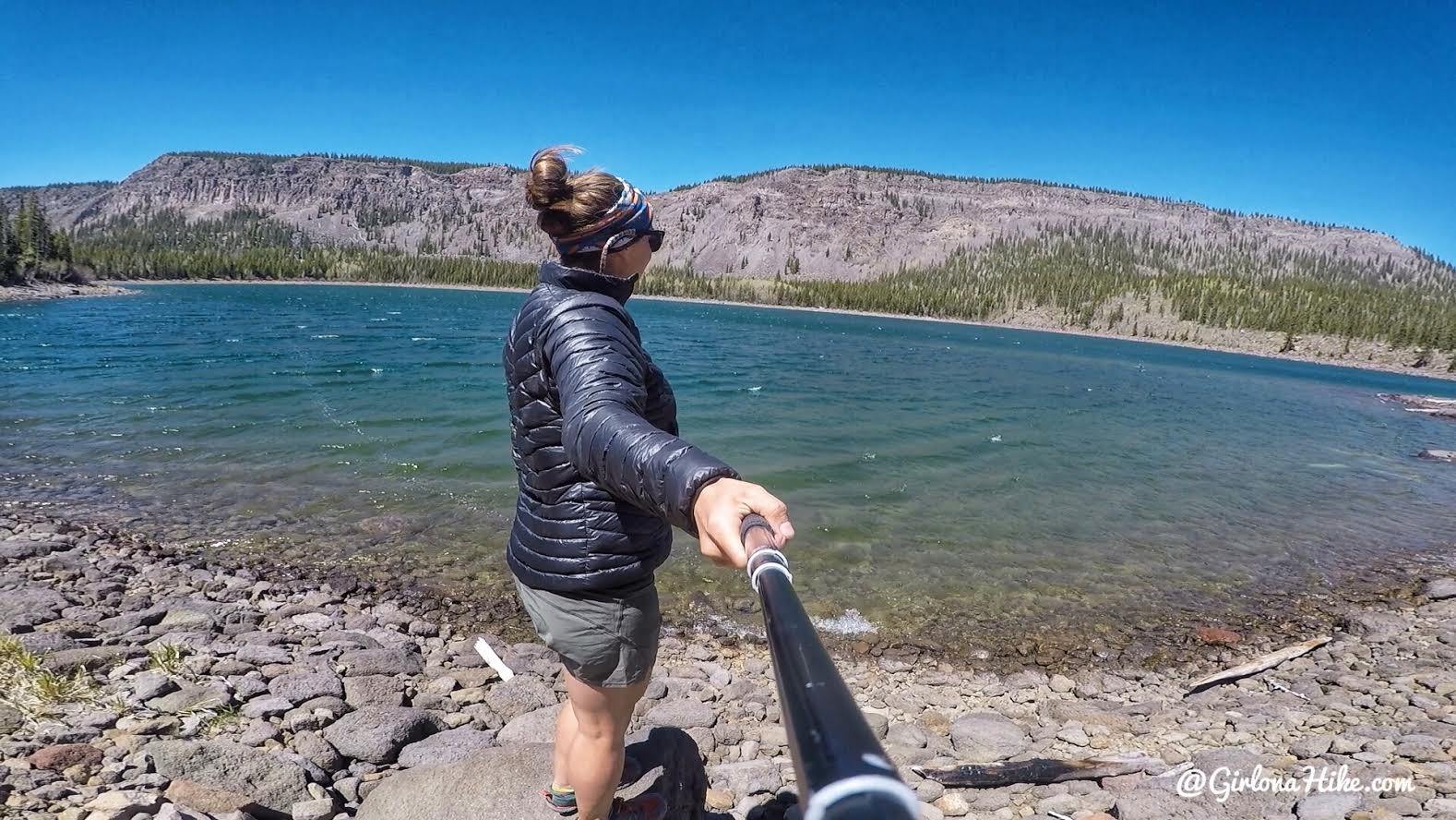
Such a pretty lake! Blind Lake would make a great quick overnight backpack trip as well.
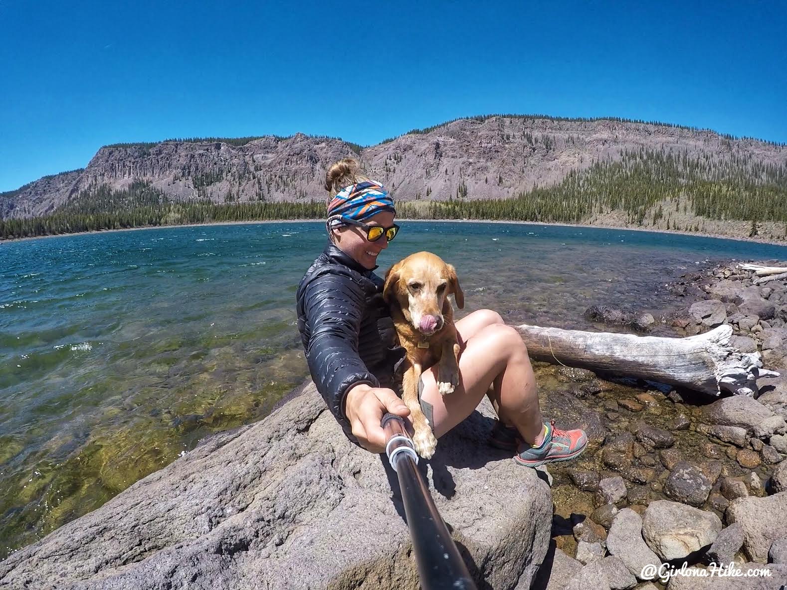
We really enjoyed this lake – next time we will hike further to see the other lakes.
Trail Map
Nearby Hike

Save me on Pinterest!
