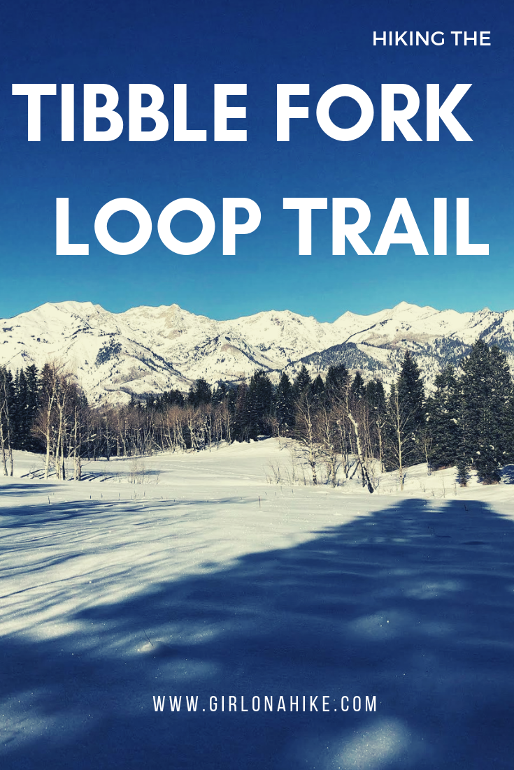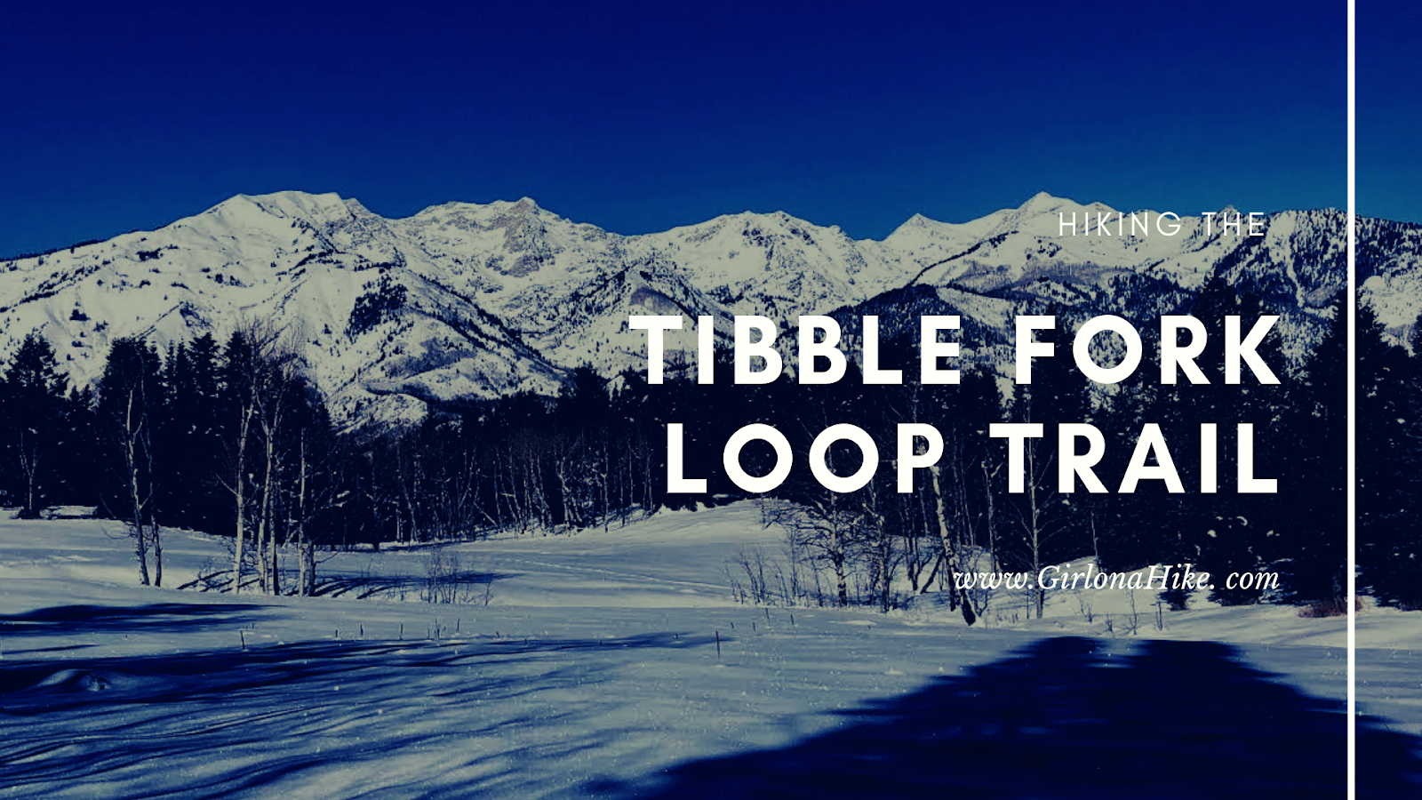

The Tibble Fork Loop Trail (trail #041 & #040) is located in American Fork Canyon, and starts at the Tibble Fork Reservoir, hence the appropriate name. This hike can be done year round, but I find it to be the prettiest during Winter when the trees are laden with snow, the reservoir is frozen over, and the trail offers a certain quietness. The trail steadily gains elevation for the first 2 miles, cuts through an amazing aspen grove and open meadow, then connects back to the Tibble Fork stream and main parking lot.
Directions
From SLC, head south on I-15 and take exit 284 towards Timpanogos Cave and Alpine, UT. Drive past the fee booth, then follow the signs for Tibble Fork Reservoir. The fee is $10 for a 1-3 day pass, or free if you have a National Park Pass. Park in the main parking lot for Tibble Fork – the trail starts at the far east end at the gate. There are restrooms in the main lot.
Trail Info
Distance: 5 miles round trip
Elevation gain: 1,000 ft
Time: 2-4 hours
Dog friendly? Yes, off leash
Kid friendly? Yes
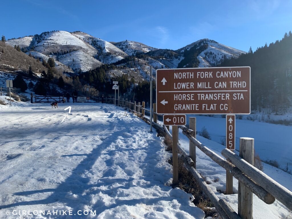
You will start by hiking up the closed off winter road, through the gate.
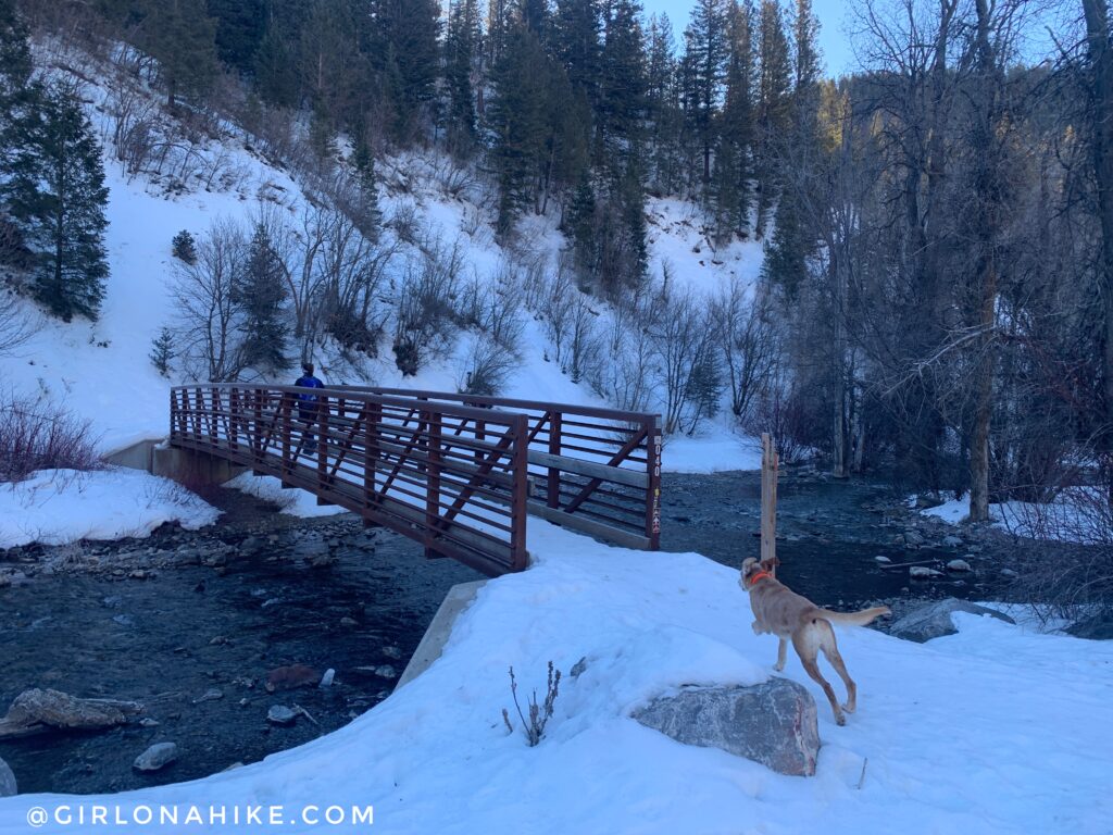
You’ll a see a bridge to your right, and will now be on Trail #040.
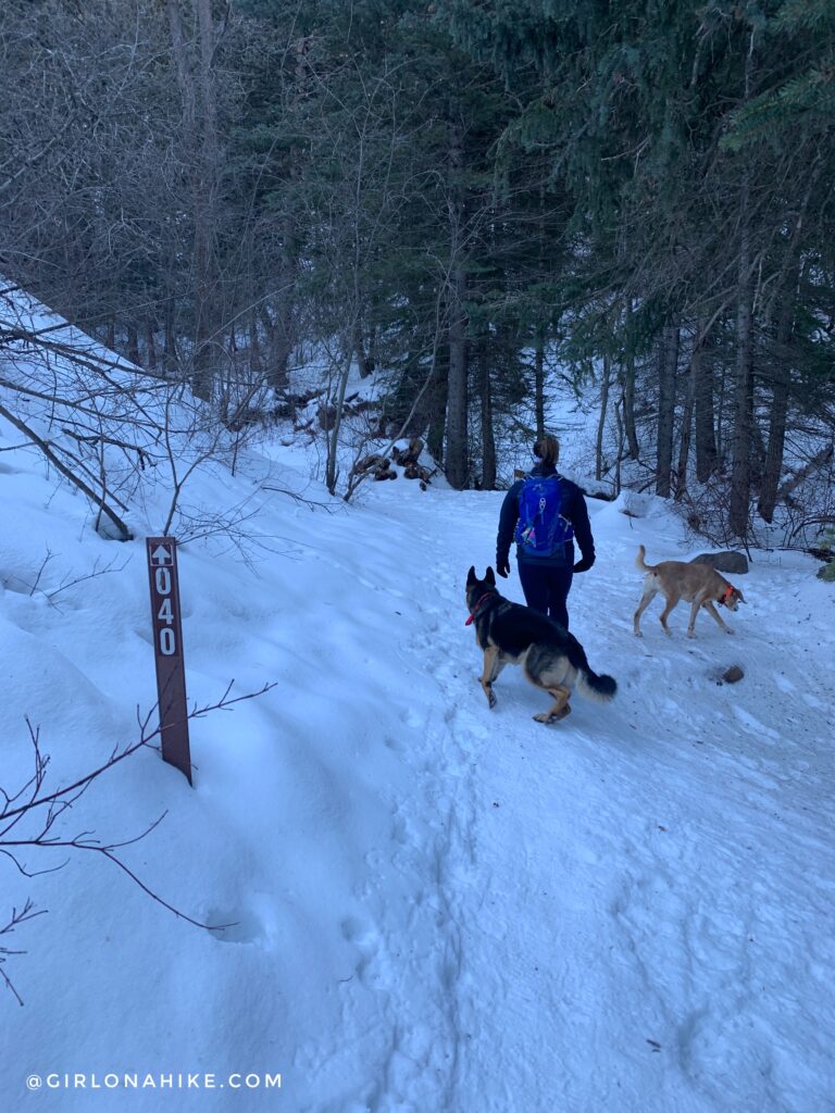
Stay on #040.
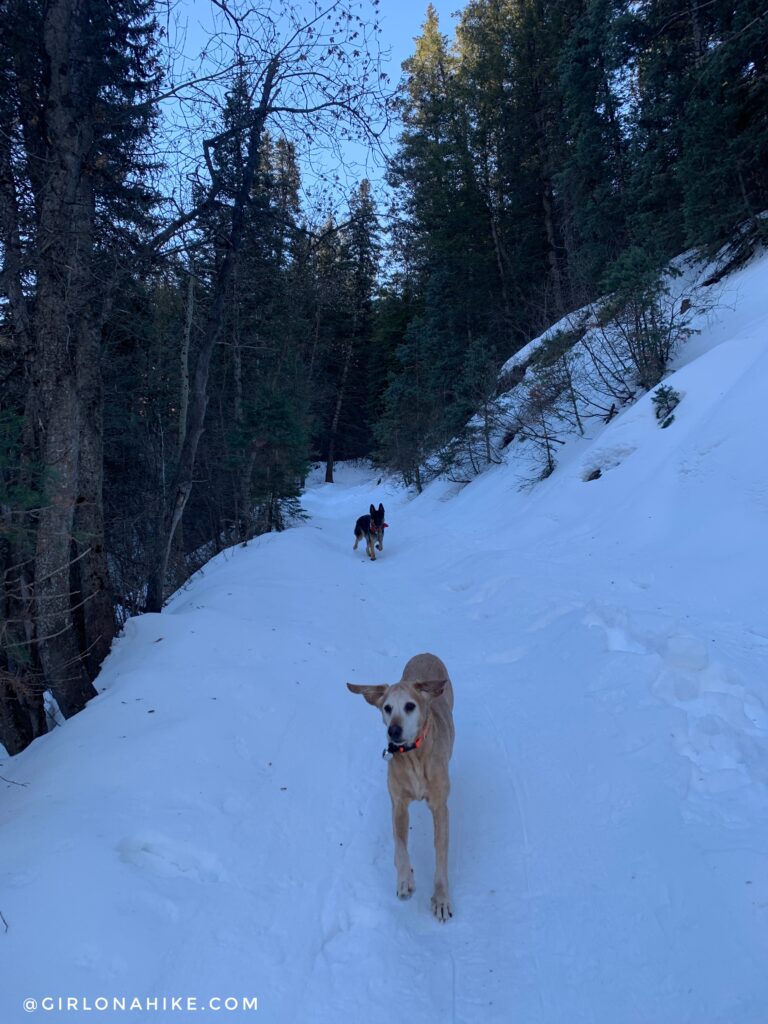
Hike up a short, but steep hill.
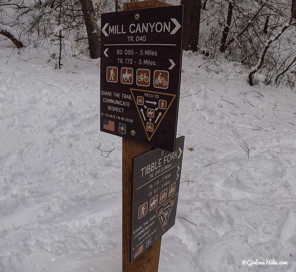
All the signs look the same, so it helps to count. This is trail split #1. Continue hiking straight here, up the hill. This is where the loop will bring you back around, from the right (south).
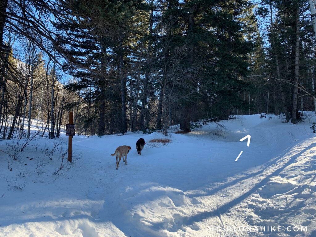
Trail split #2 – turn right. You will now be on the Mud Springs Trail, #041.
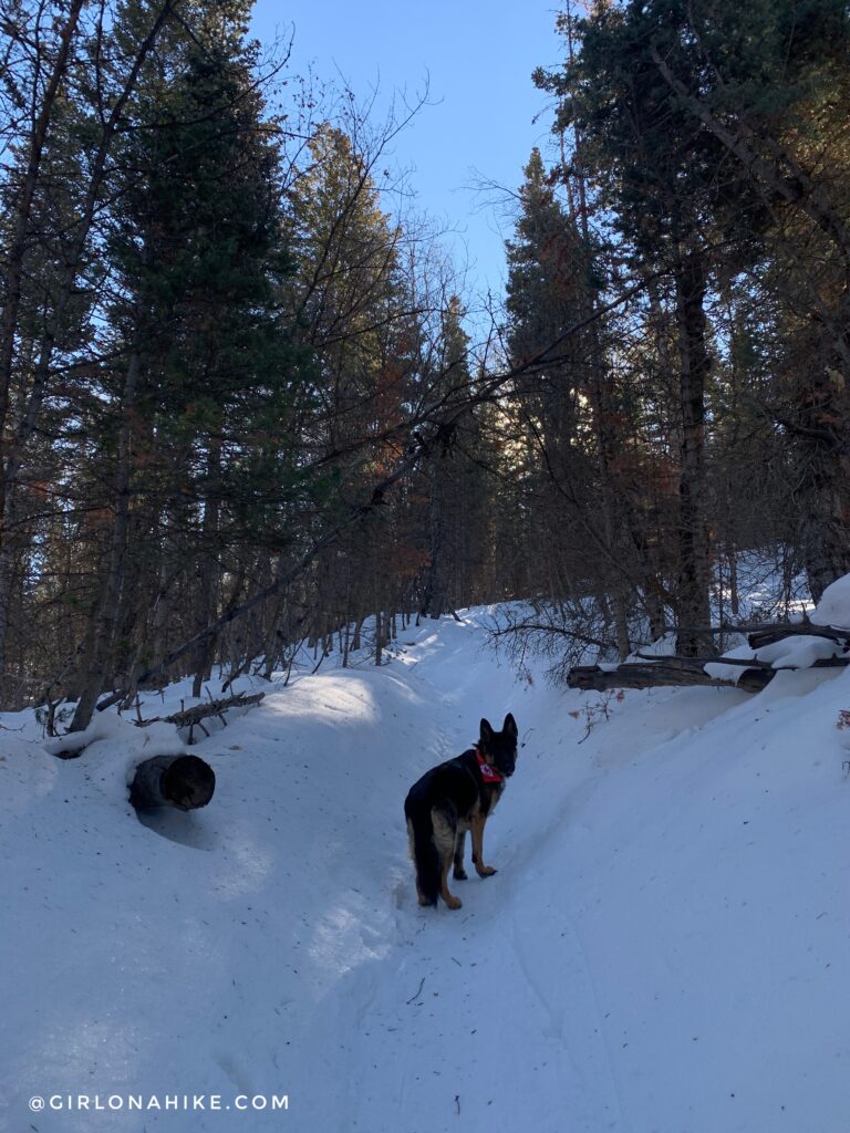
Hike up another hill, this time not as steep.
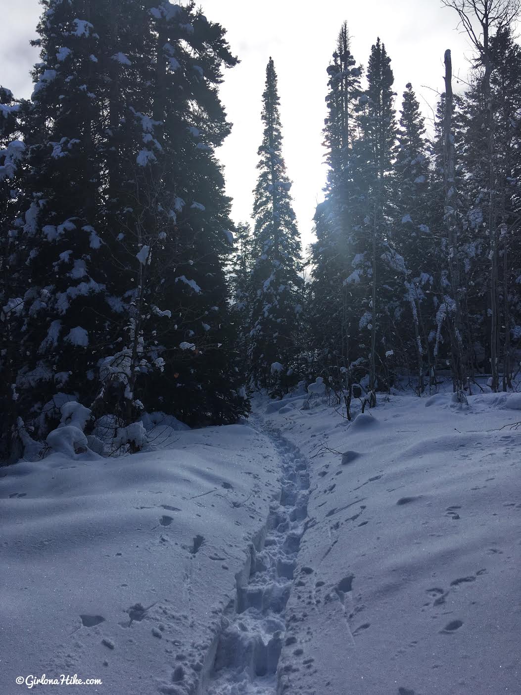
Wow, so pretty and peaceful.
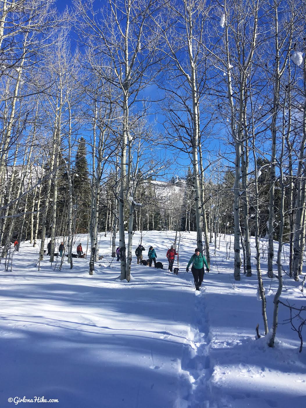
Continuing on!
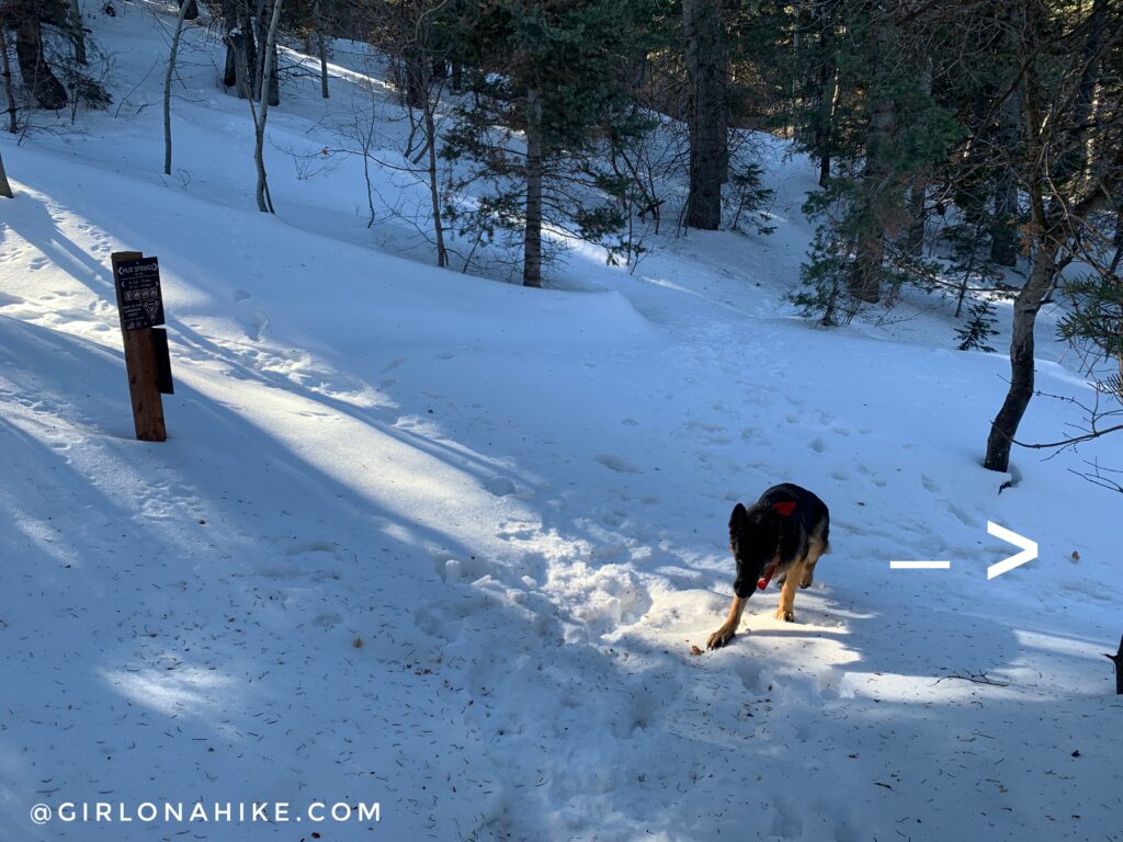
After that first meadow, you’ll hike down a short hill to the next trail split #3. Turn right again.
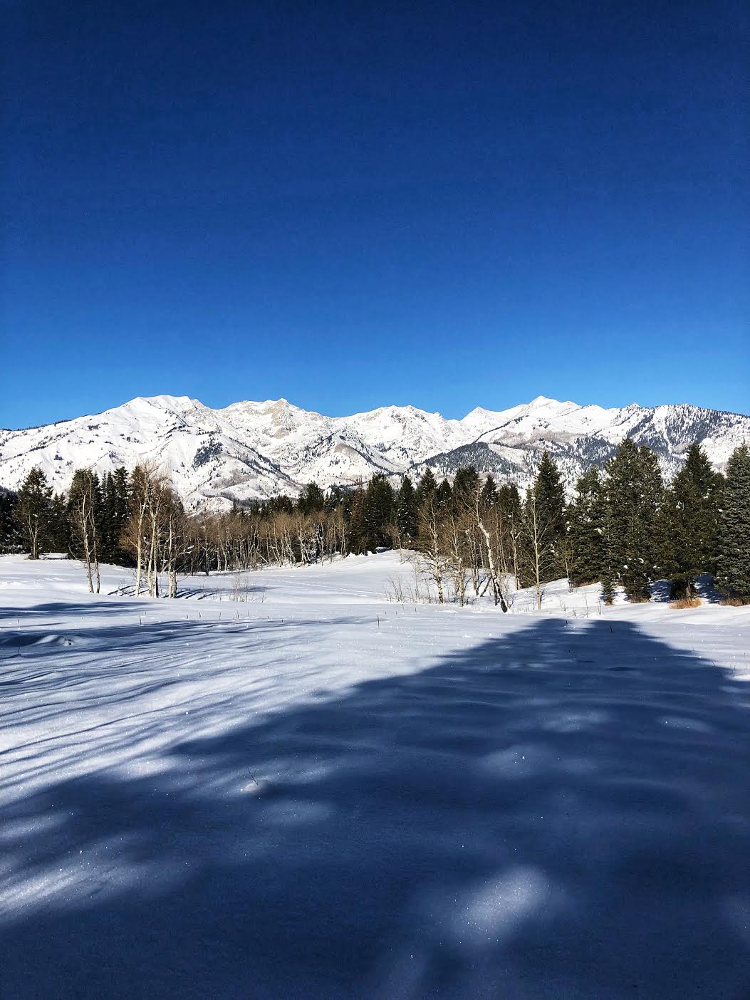
Ahh so pretty!
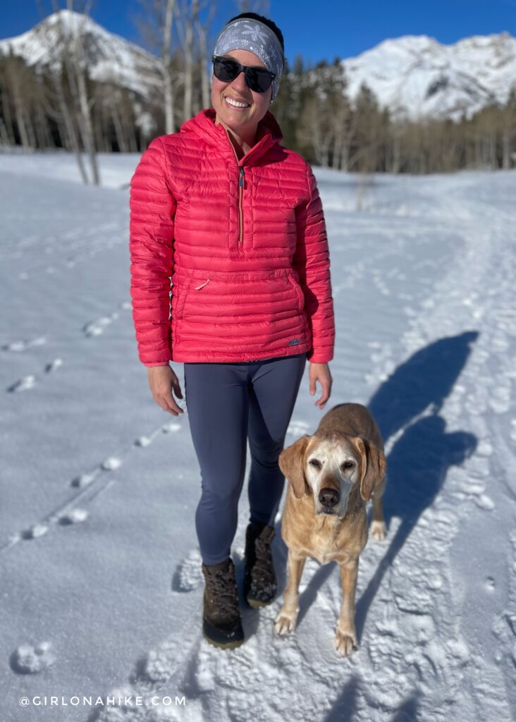
A prime photo op with my baby!
Get 15% off your FIRST order from Stio, use the code “GIRLONAHIKE15” at checkout here! The Pinion Down Pullover is sooo warm and lightweight!
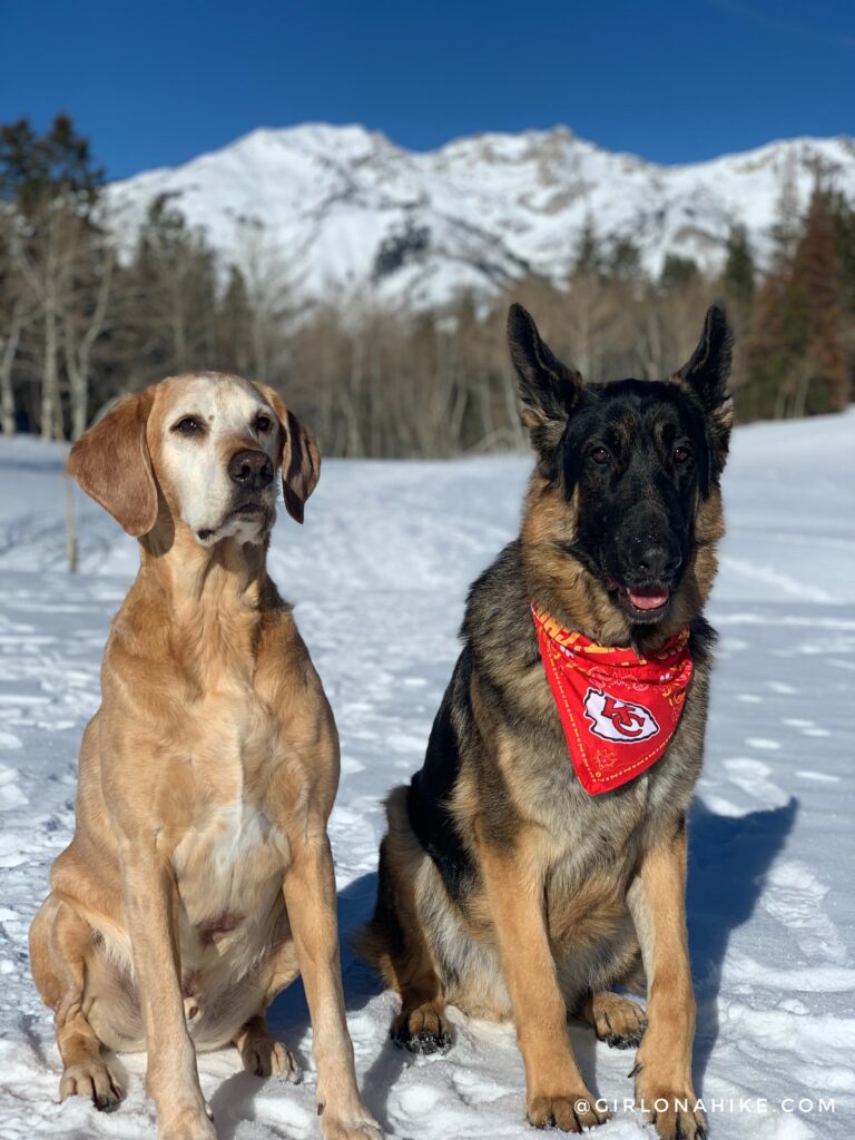
The boys had a great hike together!
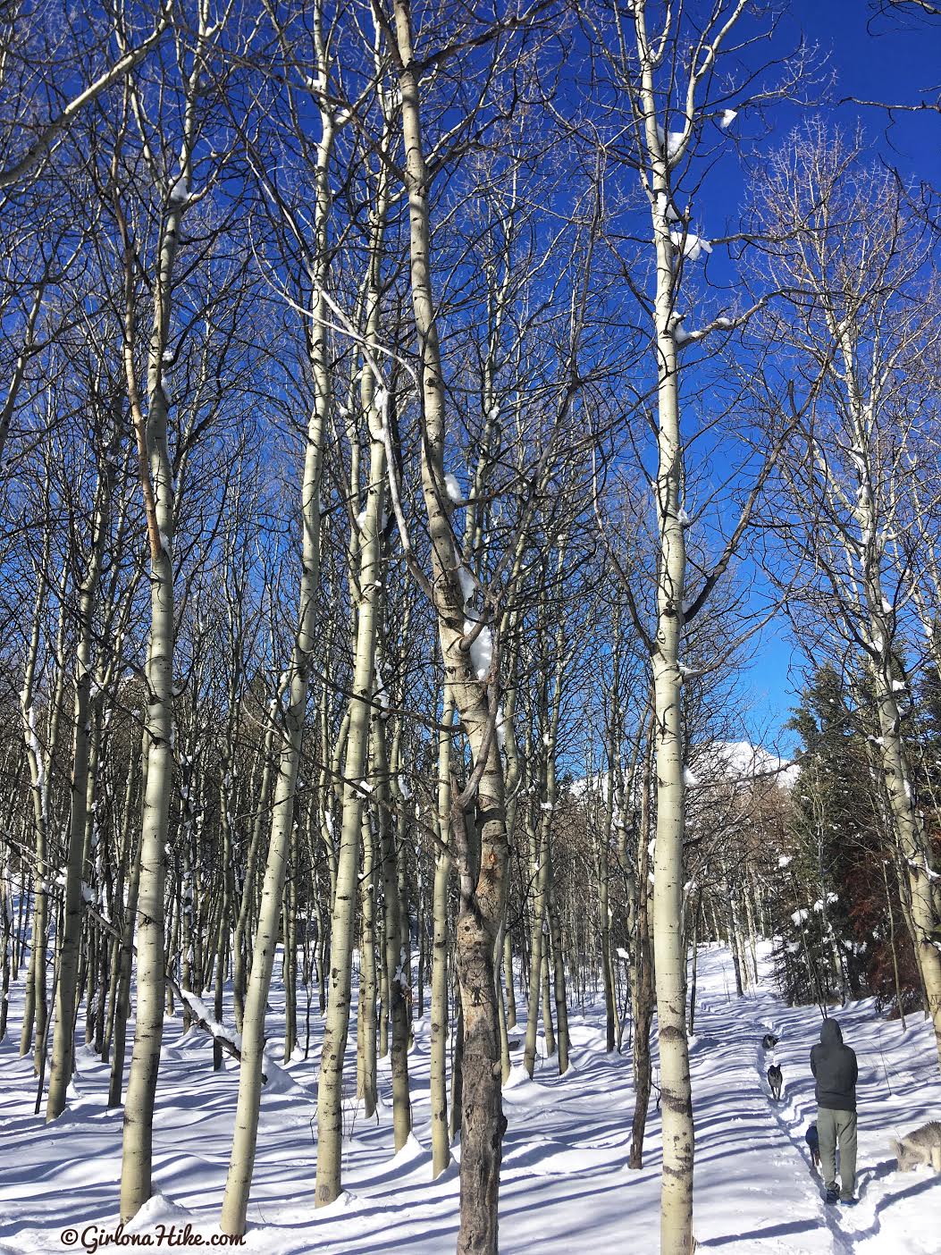
More tall Aspen trees.
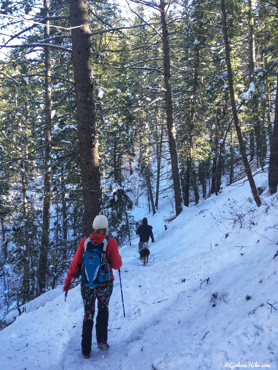
You’ll pass two more unsigned trail splits. Keep staying right for each one.
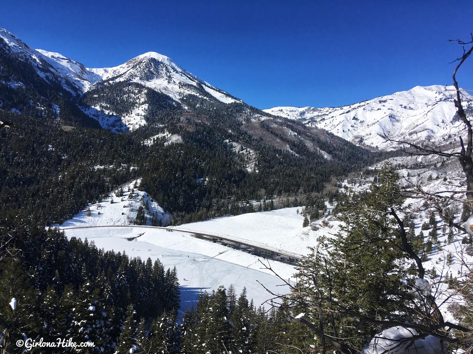
Eventually, you’ll see Tibble Fork Reservoir below Box Elder Peak.
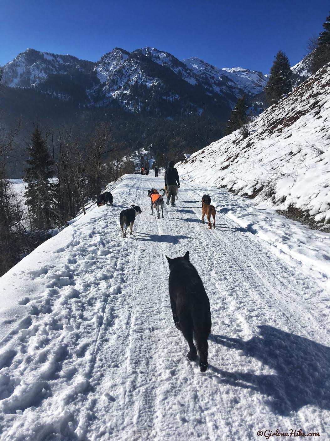
You’ll end up back at that first trail split, and hike part of the same trail back to the cars.
Trail Map
My track via Gaia GPS – the best tracking app! Get your app here for a discount.
Nearby Hike

Save me on Pinterest!
