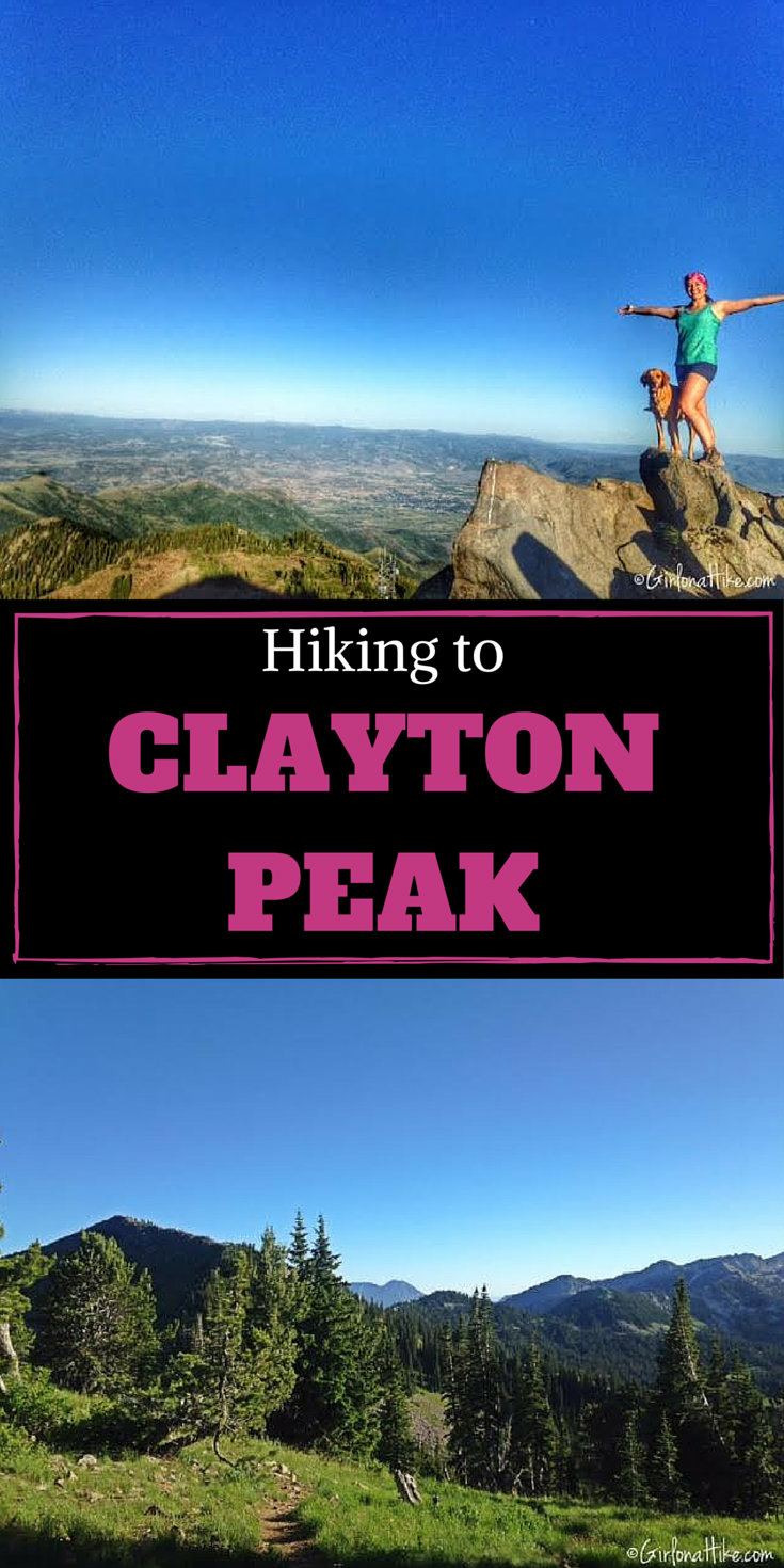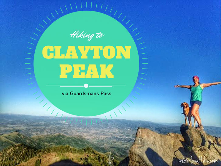

I prefer to hike up the ridge from Guardsmans Pass, because dogs are allowed on this trail. Brighton Ski Resort is part of the watershed, so dogs are not allowed up that trail or on any trail in Big or Little Cottonwood Canyon for that matter. The trail is steep this way, and will take about 1-1.5 hours to summit depending on your hiking pace. In Summer, be prepared for very nasty mosquitoes – they tend to go away in September when the temperatures cool off in the evening. The last 1/4 mile requires some small boulder hoping and route finding, but as long as you stay on the ridge you’ll reach Clayton Peak. Dogs and/or humans with knee or hip issues should sit this one out.
** UPDATE 2020**
As of January 9th, 2020 dogs are now banned from this trail.
** UPDATE 2025**
You now need to pay by the hour to use this trailhead. $5/hour on weekdays and $8/weekends.
Directions
UPDATE August 2019
You can no longer park here. You need to use the new parking area located at GPS: 40.6095327,-111.5383292
From SLC, take I-215, and exit on Wasatch Blvd (exit 6) and continue south. When you reach Big Cottonwood Canyon (at the corner of the 7-11), turn left into the canyon. Drive 14 miles up the canyon, past Solitude Ski Resort. Look for the big sign for Guardsmans Pass, and turn left. Follow this narrow, winding road for another 4 miles until you reach the pass. The trail starts to the south (right).
Here is a driving map.
Trail Info
Distance: 3.2 miles RT
Elevation gain: 1,000 ft
Time: 2-4 hours
Dog friendly? Yes off leash via Guardsmans Pass
Kid friendly? Yes
** UPDATE 2025** Fees/permits? There is now an hourly change for parking and hiking here. $5/weekdays and $8/weekends.
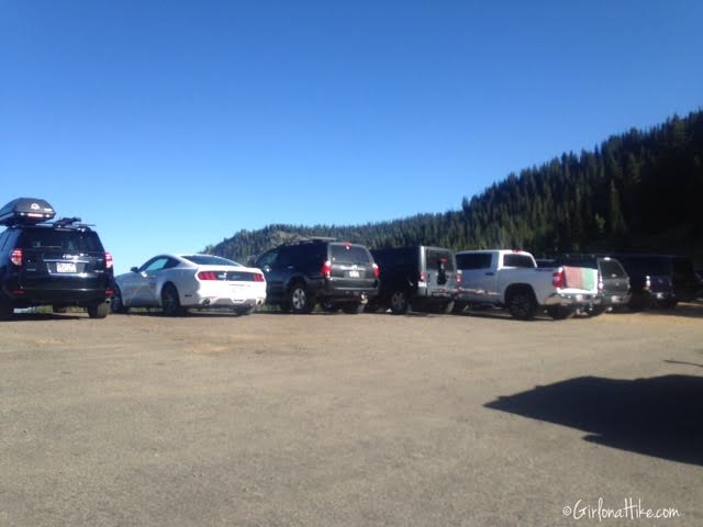
UPDATE August 2019
You can no longer park here. You need to use the new parking area located at GPS: 40.6095327,-111.5383292
Parking at Guardsmans Pass – it was full at 6:30pm.
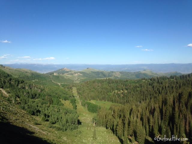
Taking in the view from the pass.
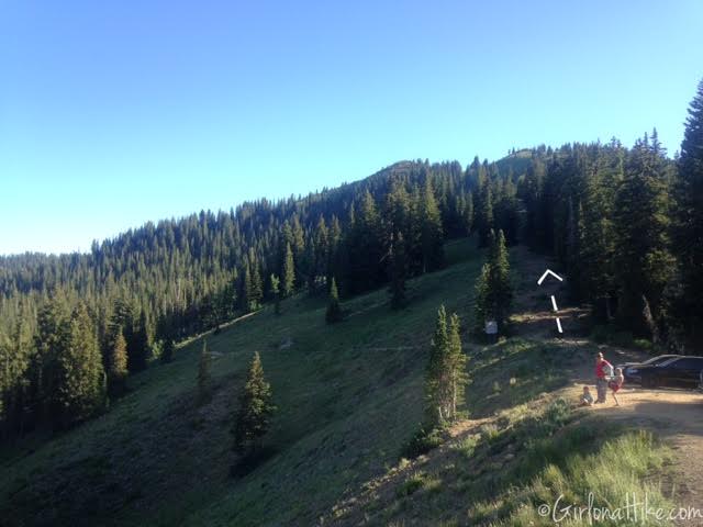
The trail starts on the South ridge.
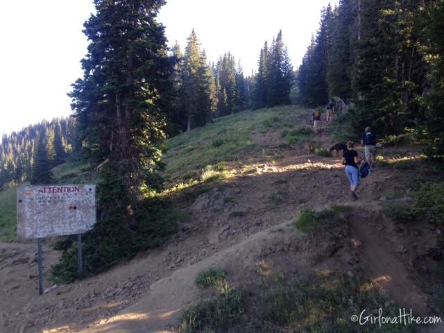
Head straight up the ridge, above the white sign.
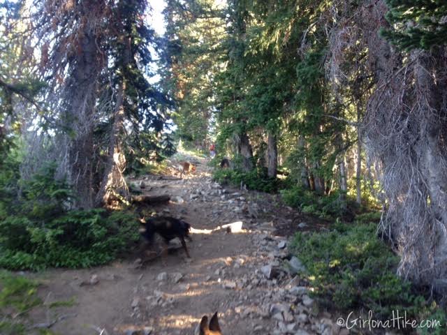
The trail is pretty shaded for the first half of the hike. Don’t take any of the lower trails – stay on the ridgeline.
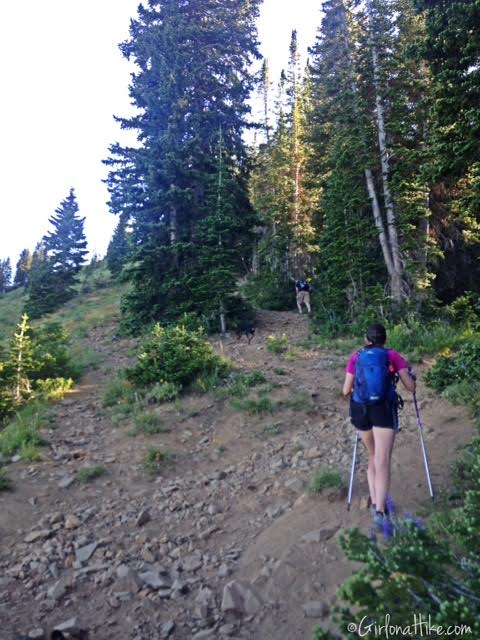
Working our way up the ridge. Hiking poles may be helpful for some hikers.
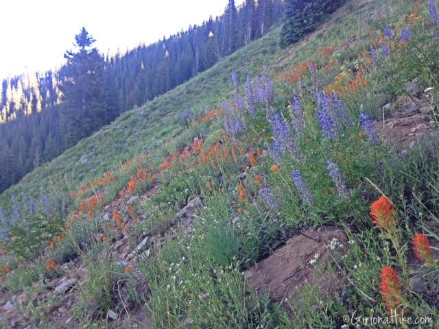
Lots of flowers in July!
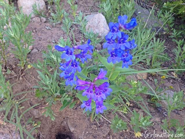
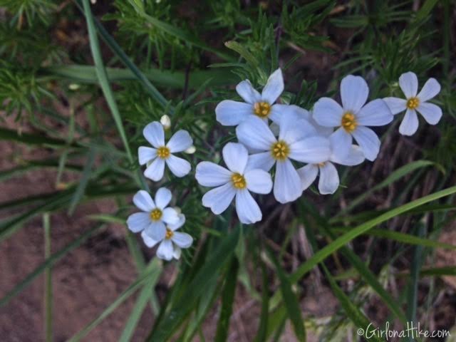
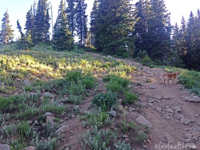
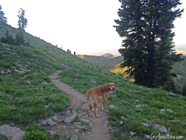
Charlie is a good boy, and poses for his mama. You’ll want to bring at least 1 liter of water per dog on this hike.
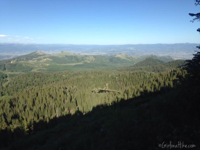
Off to our left (East), you can now see Blood’s Lake.
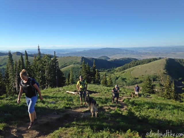
Looking back at the group, with a nice view in the distance.
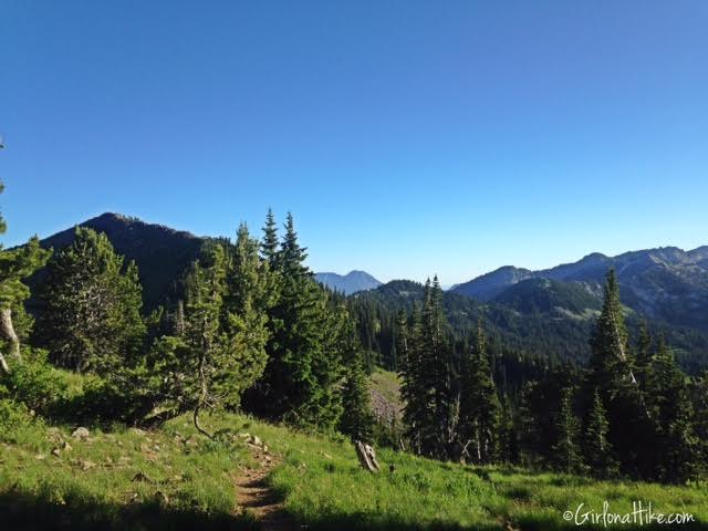
You’ll reach a flat part of the trail, and will see a trail split. To get to Clayton Peak, head right (straight), and to get to Peak 10,420, turn left. Peak 10, 420 (there’s no official name for it), is only another 100-200 yards to the peak. It’s a 2 for 1 peak trail!
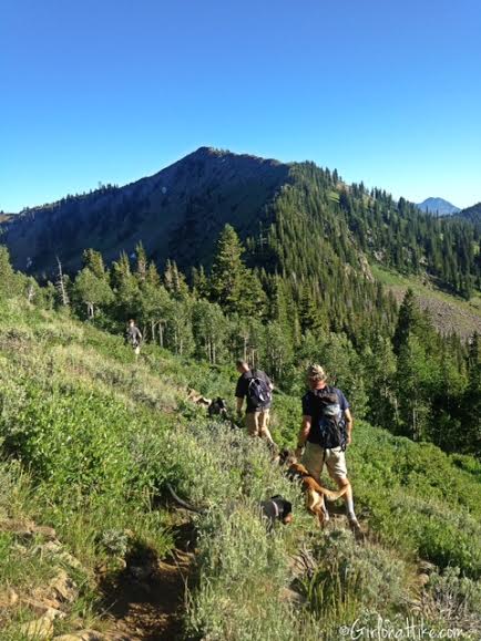
We turned right and bypassed Peak 10, 420 – the mosquitoes were so bad that we just wanted to hit Clayton Peak as fast as possible.
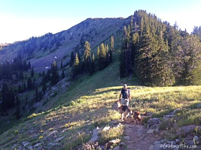
The trail will lead you down to the saddle. You’ll see another trail split – go straight for Clayon Peak, and if you want to see Lackawaxen Lake, turn left and go down another steep section.
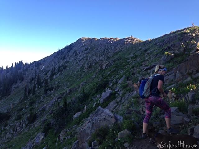
Work your way up the ridge, where you will now encounter more rocks and will soon have to scramble up some boulders.
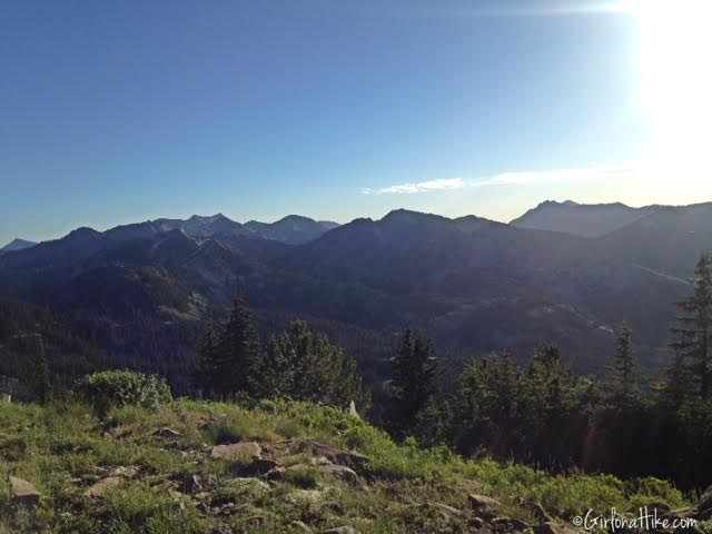
Looking to our right (West) with a view of the Cottonwood Canyons.
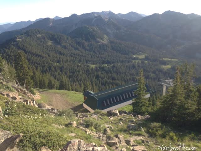
You should also see one of the ski lifts at Brighton below to your right.
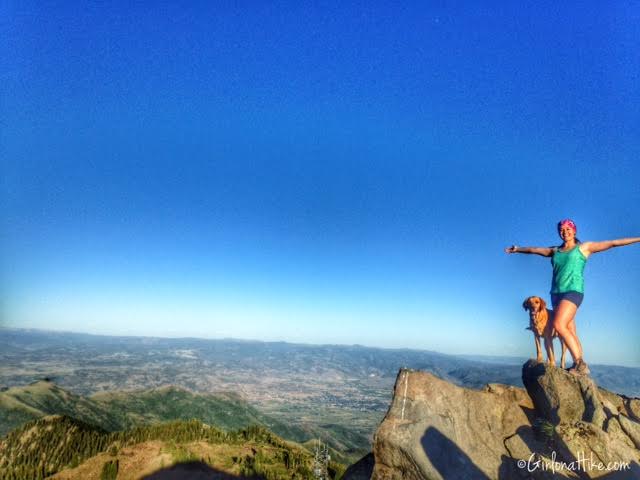
Finally on the summit with Charlie! Woot woot!
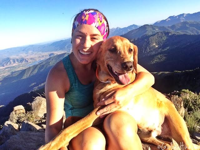
We quickly took a bunch of photos, & applied more 100% Deet.
People usually ask, “Is it ok to apply 100% Deet to my dog?” Charlie never seems to have issues with mosquitoes, but a better alternative for dogs (and even yourself) is rosemary oil, which contains an essential oil that acts as a natural mosquito repellent. Burt’s Bees makes an all-natural mosquito repellent – it’s a bit pricier ($18), but may be worth not putting chemicals on your body, or on your dog.
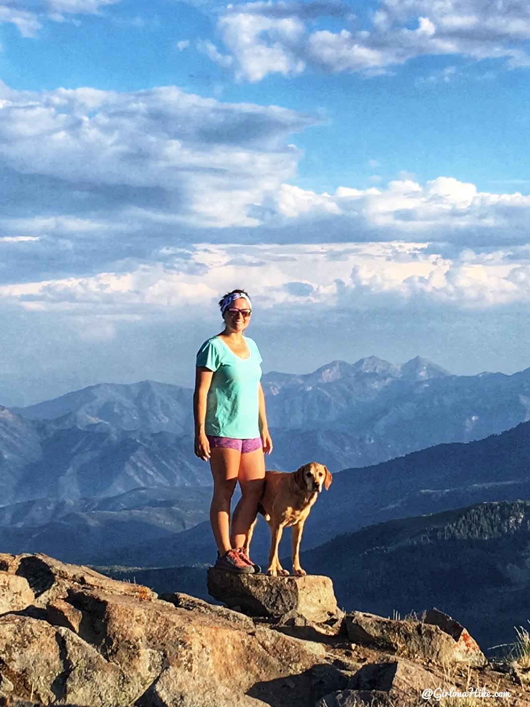
July 2018

I re-created my original photo in July 2018!
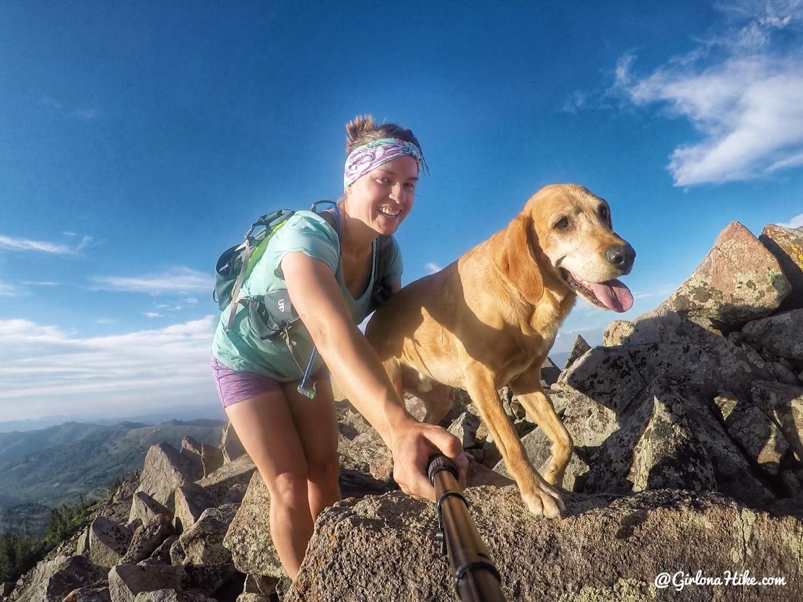
We love climbing up the boulders!
Trail Map
My track via Gaia GPS – the best tracking app! Get your app here for a discount.
Nearby Hike
Hiking to Clayton Peak via Brighton Ski Resort

Save me on Pinterest!
