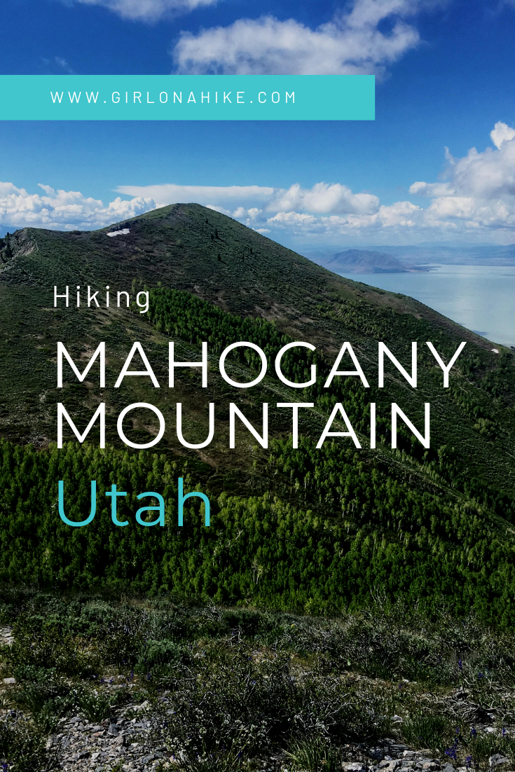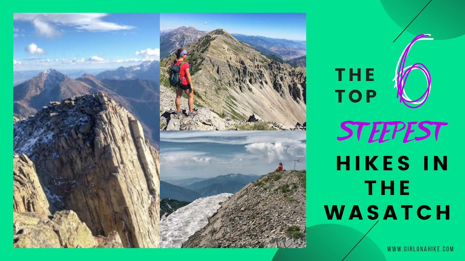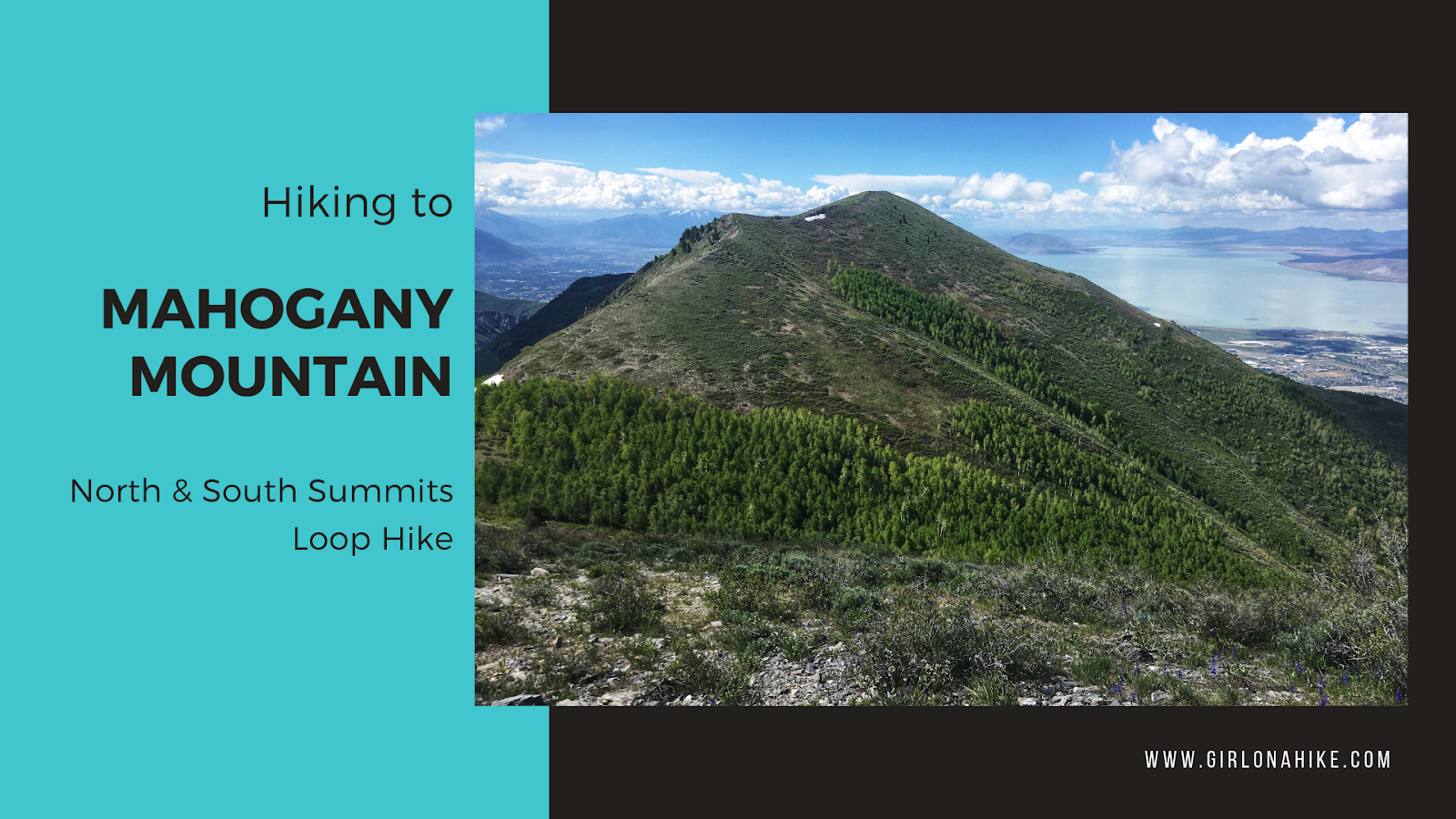

Mahogany Mountain (9,001 ft) is located in Utah County, and considered one of the steepest hikes in the Wasatch. In just 3.5 miles to the summit the trail gains 4400 ft! Mahogany Mountain often gets overlooked for Mt.Timpanogos, which towers over it to the East. Because of this, not many people don’t know this mountain even has a name. Except for peak baggers that is. This is one of those hikes every peak bagger must do, and even with a lot of peak experience, this one is daunting due to the steepness.
About
Directions
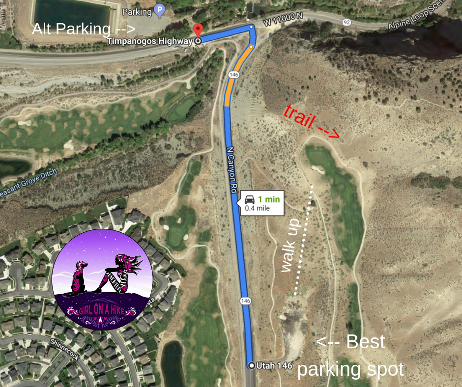
From SLC head south on I-15 then take exit 284 towards American Fork Canyon. Take the commuter lane to avoid the lights. Turn right on North Canyon Drive. Drive about 1/3 mile and you will see a dirt lot on the left side of the road near the gold course. This is a safe place to park.
Here’s a detailed parking/TH map, and a driving map.
Trail Info
Distance: 3.5 miles to South Summit,
OR 17 mile loop
Elevation gain: 4400 ft
Time: 3-4 hours to South Summit, 8-9 hours for loop
Dog friendly? Yes, off leash but I wouldn’t bring a dog next time
Kid friendly? No
Fees/Permits? None
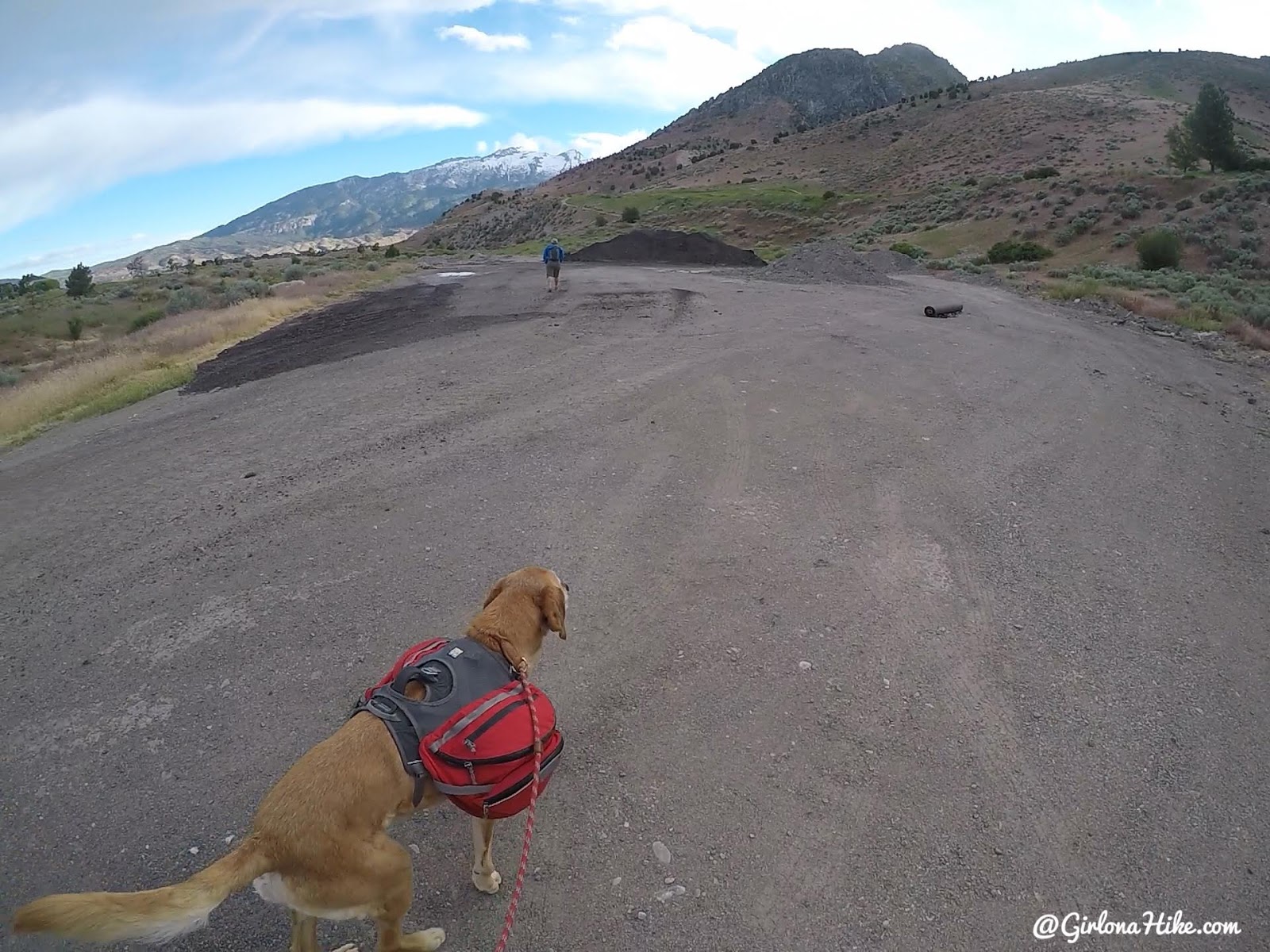
Start by Parking in the large gravel lot, then walk towards the golf course. There is no trail, just cut through the grass.
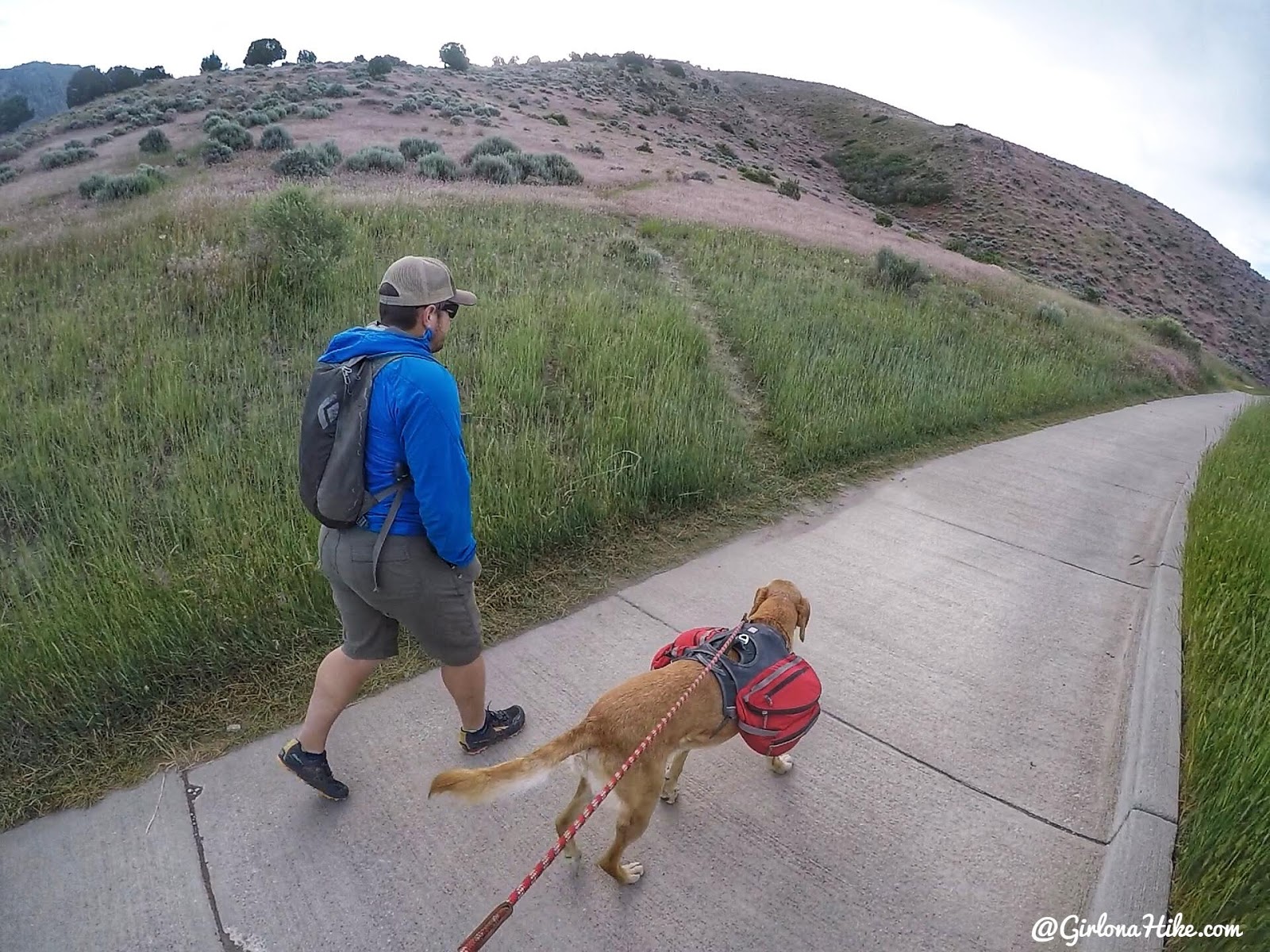
Pick up the golf cart road, wrap around it walking by No Trespassing signs (the signs are for the water pump), and you’ll see the trail just after leading up to the left. Dogs should stay on leash until you reach the trail.
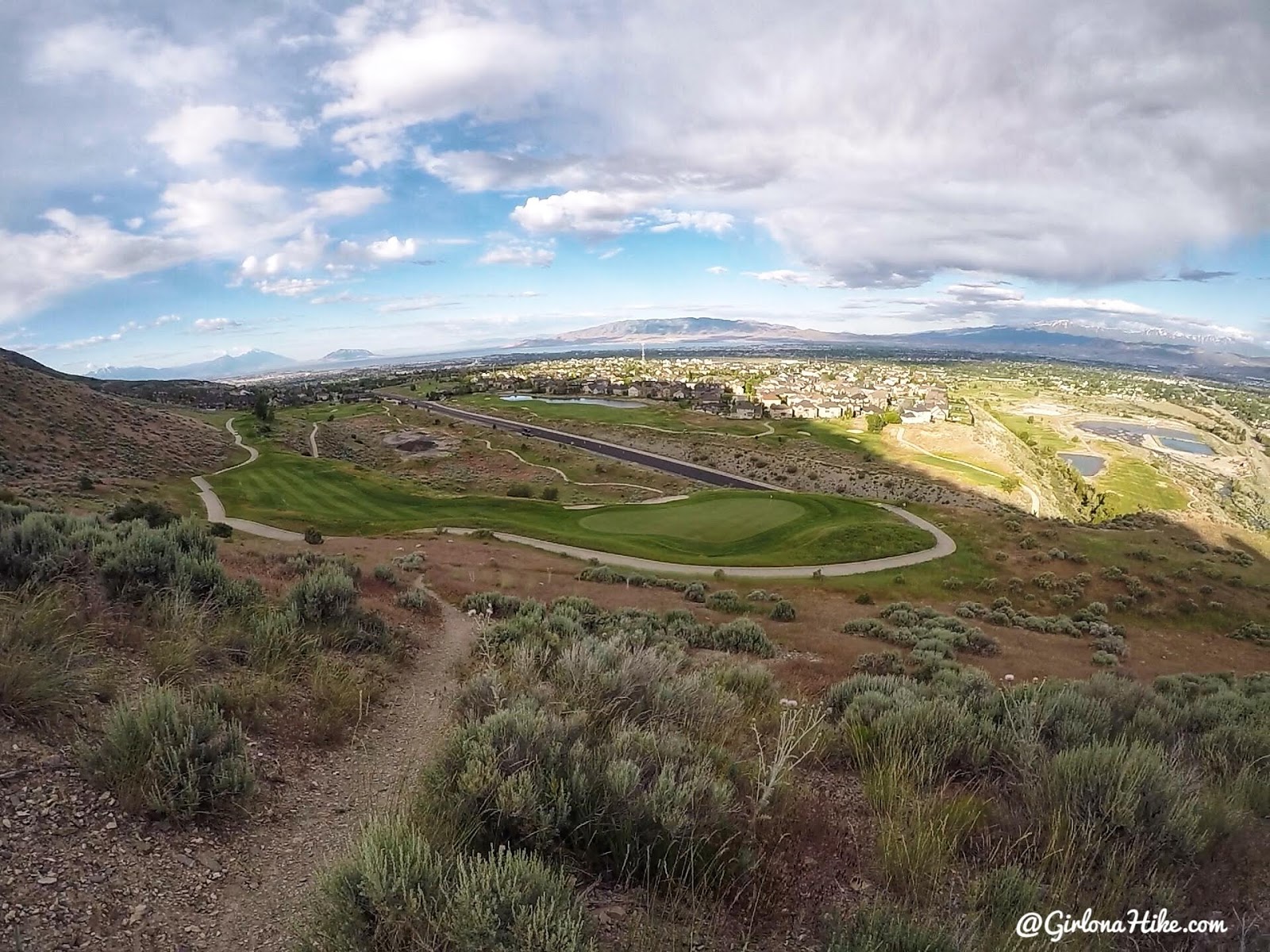
Now the fun begins. Looking back down to where we just walked to from the car.
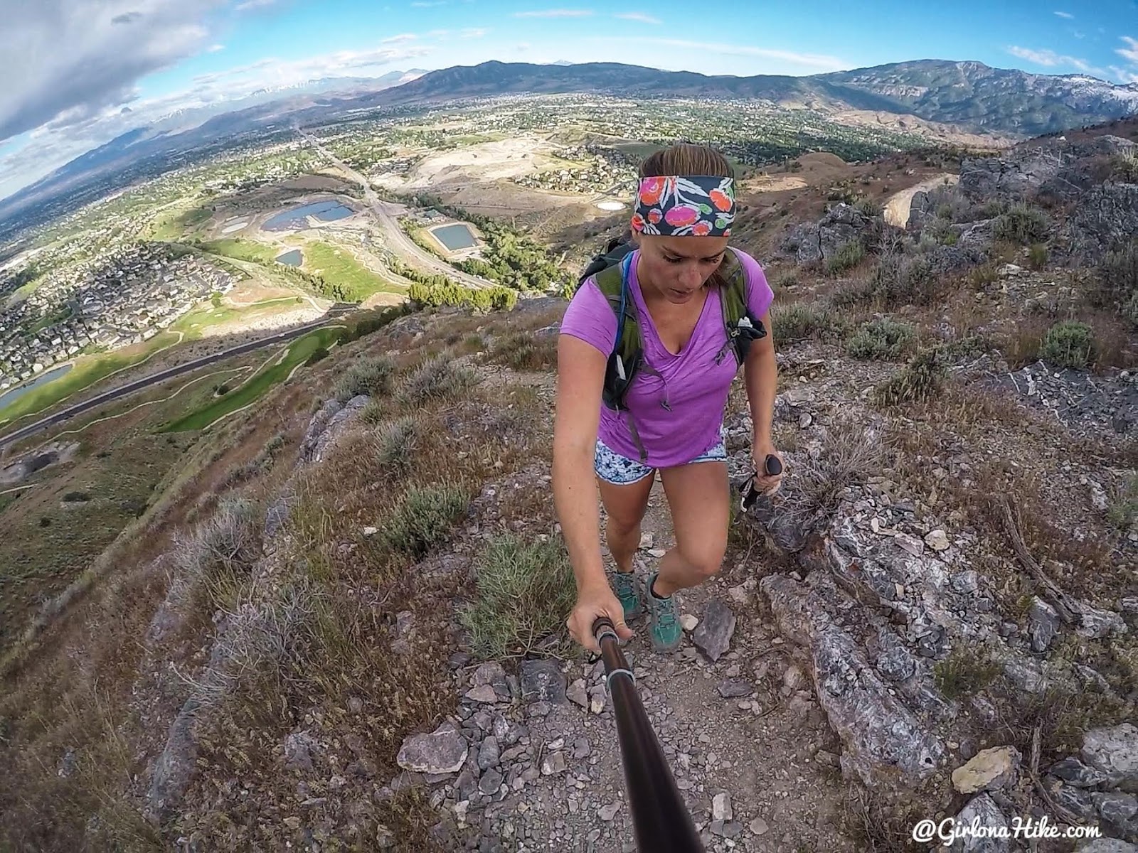
Whew, the calve burning begins! This trail is so steep.
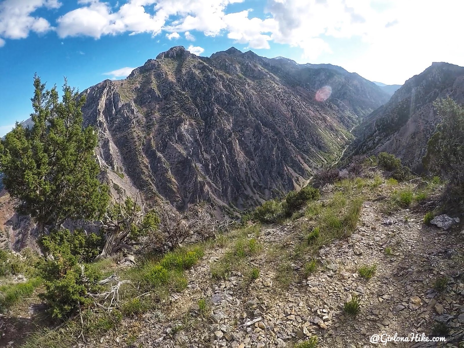
WOW! What a cool view down into American Fork Canyon.
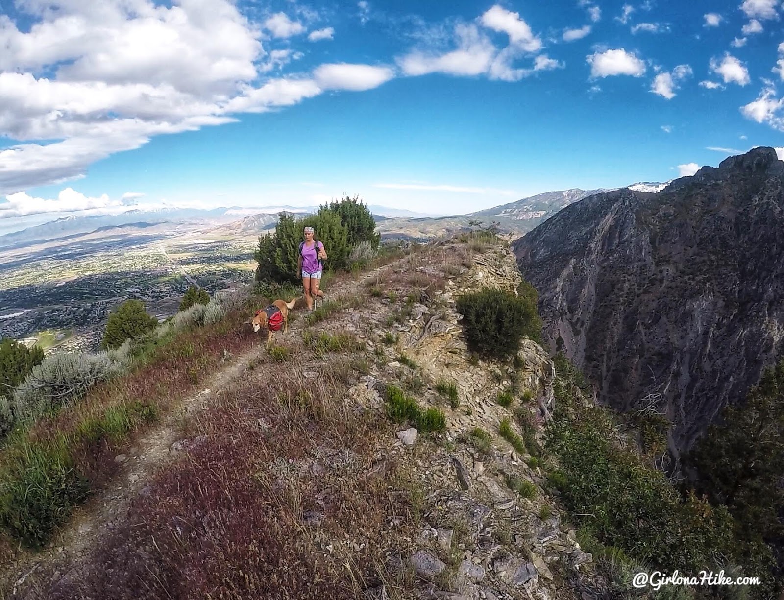
A little level trail to relive the burn…
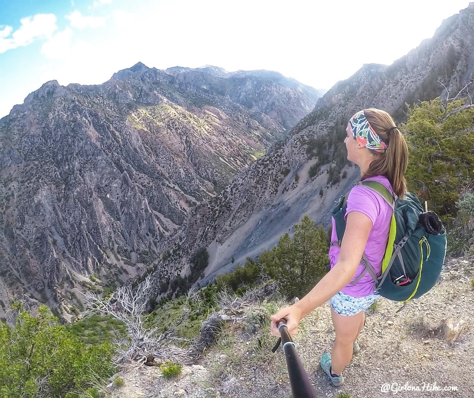
Such cool views from the North Ridge.
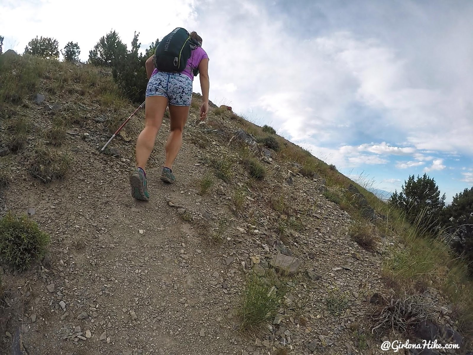
But wait! It gets steeper…
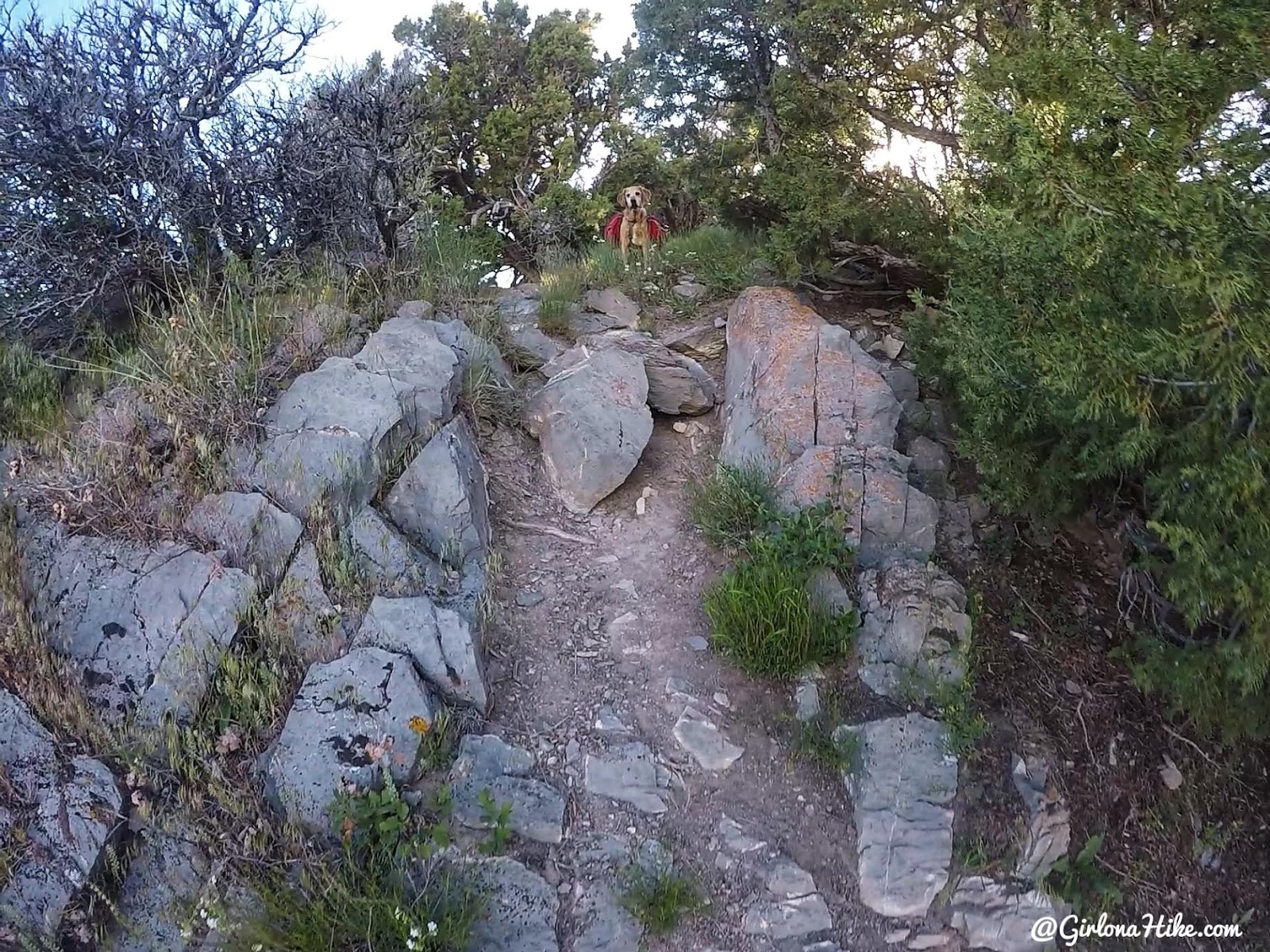
Charlie waits for his slow mama to catch up.
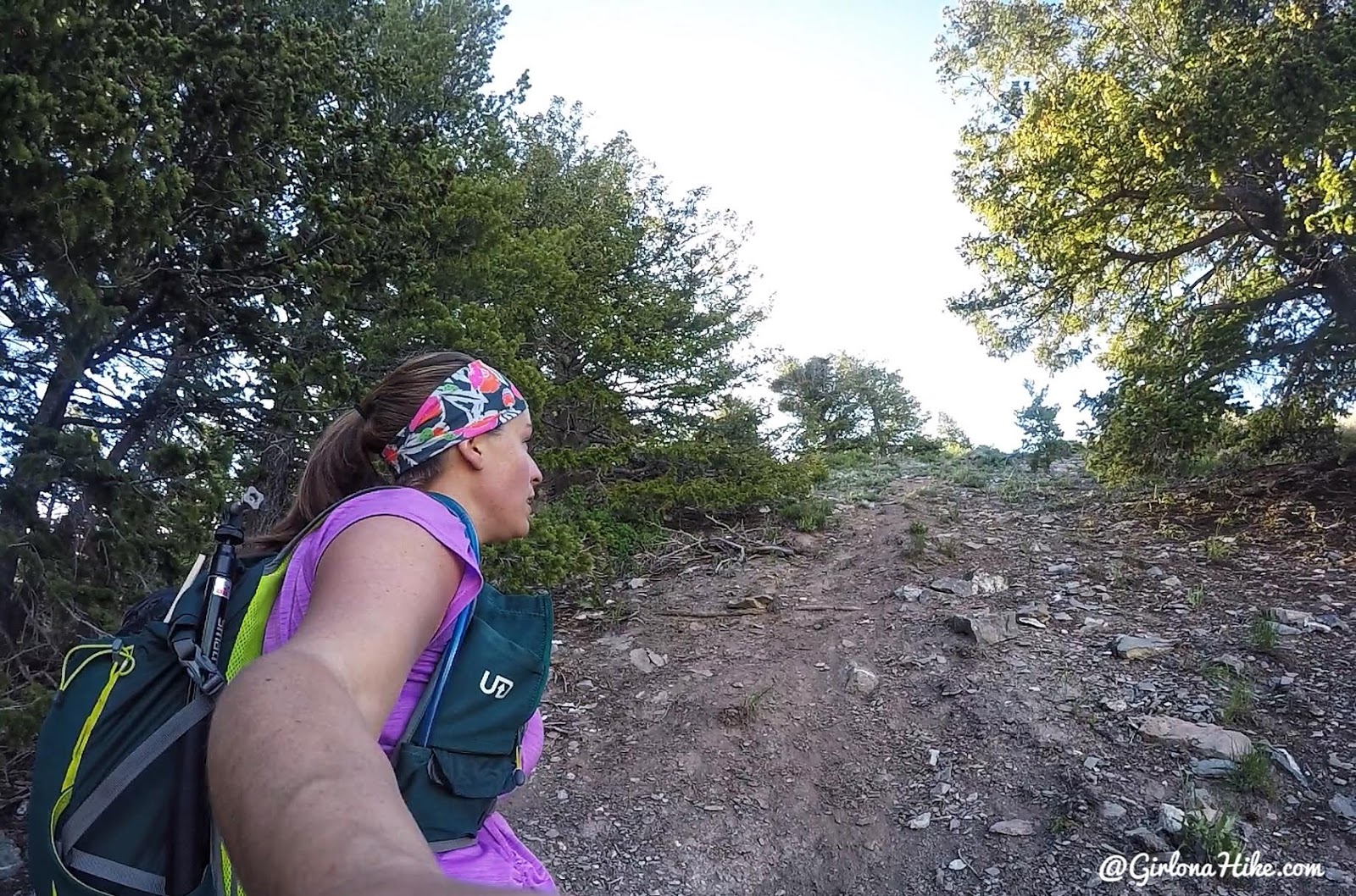
….and steeper. Ok, this was definitely the steepest section, right?
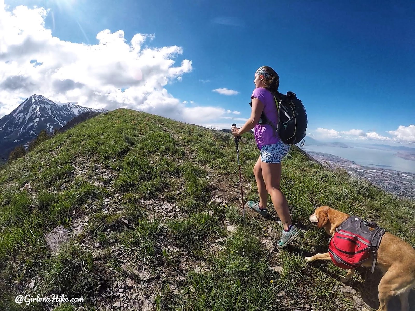
Finally, we start to top out on some level ground again.
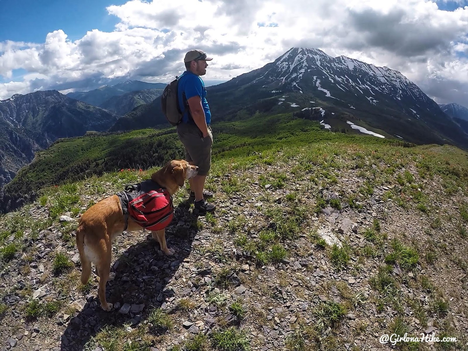
Wow, taking in all the views!
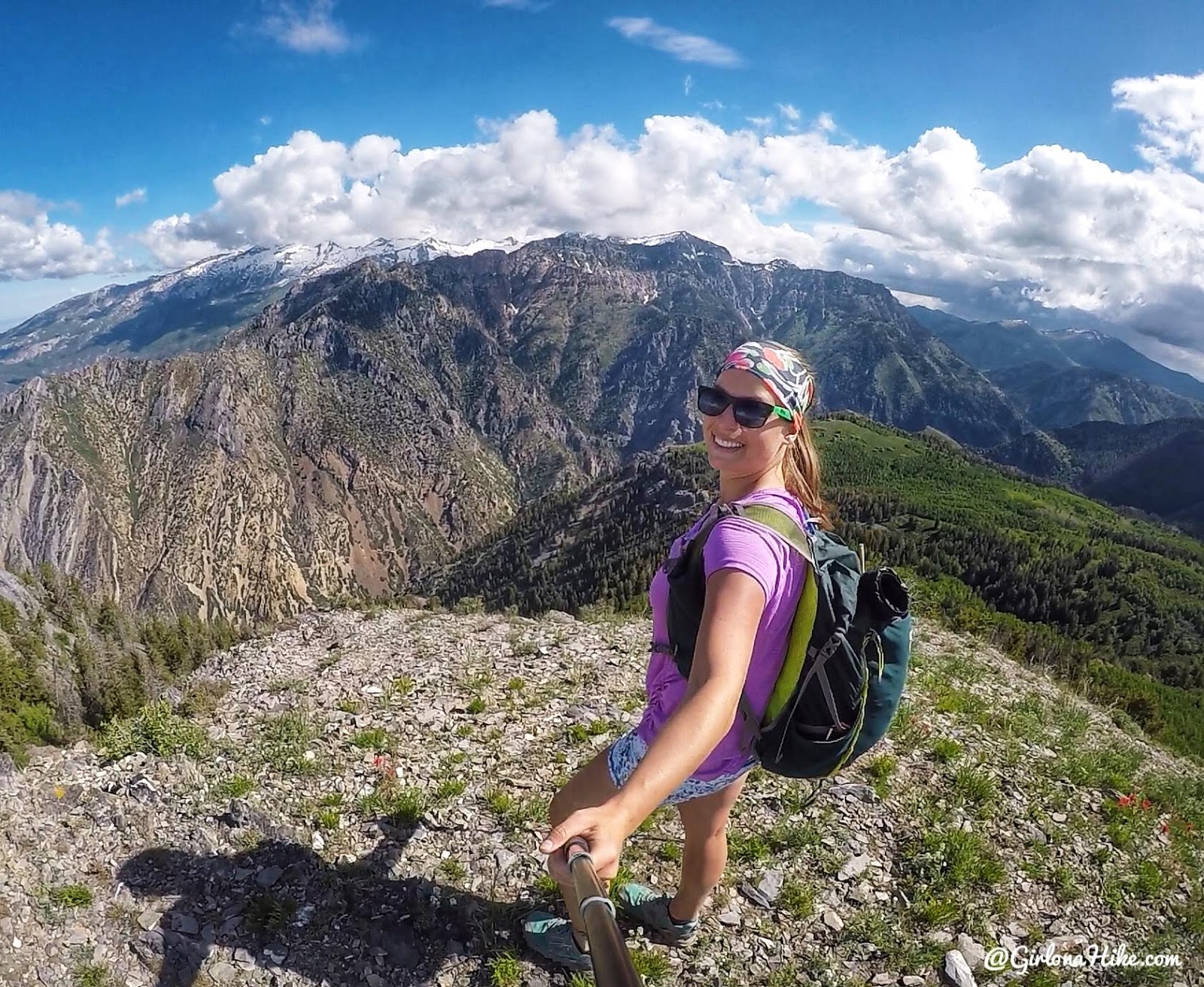
Yay, on the far North end of the Mahogany Mountain ridge! One of my favorite spots the entire hike.
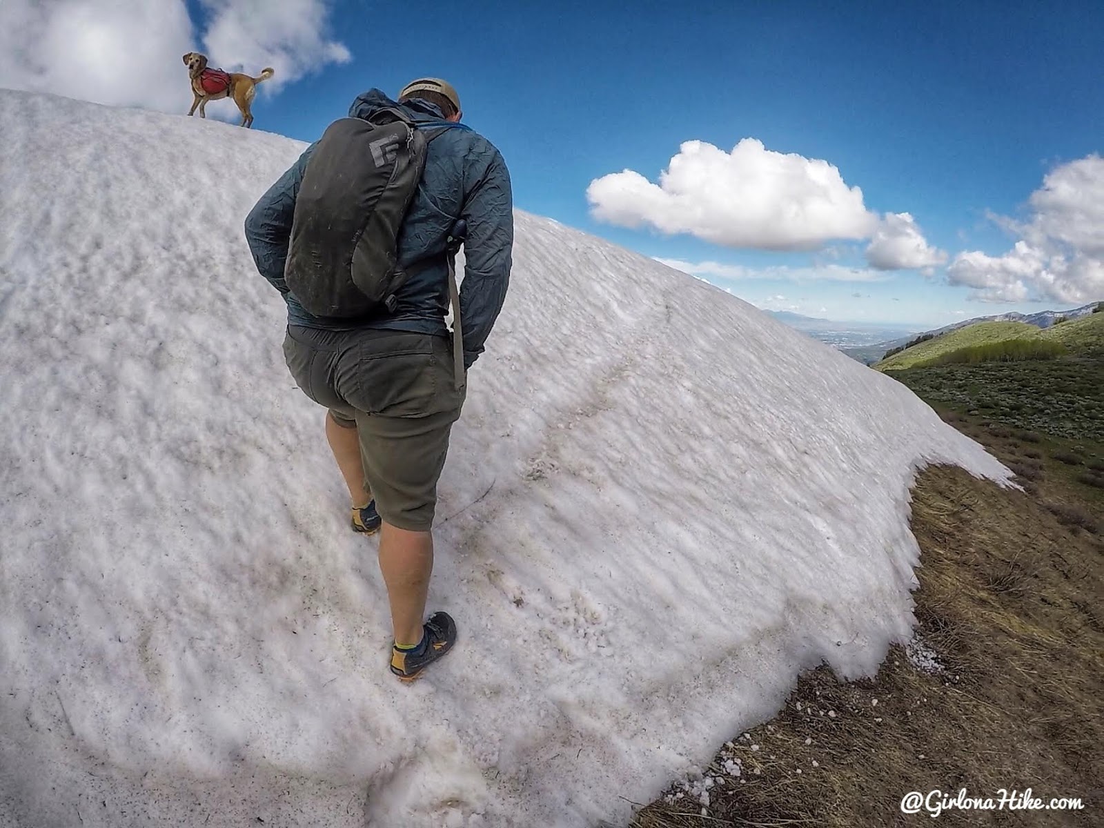
Next it was time to hike over to the North Summit. First, we had to hike up this large snow patch. It was quite big, no getting around it easily.
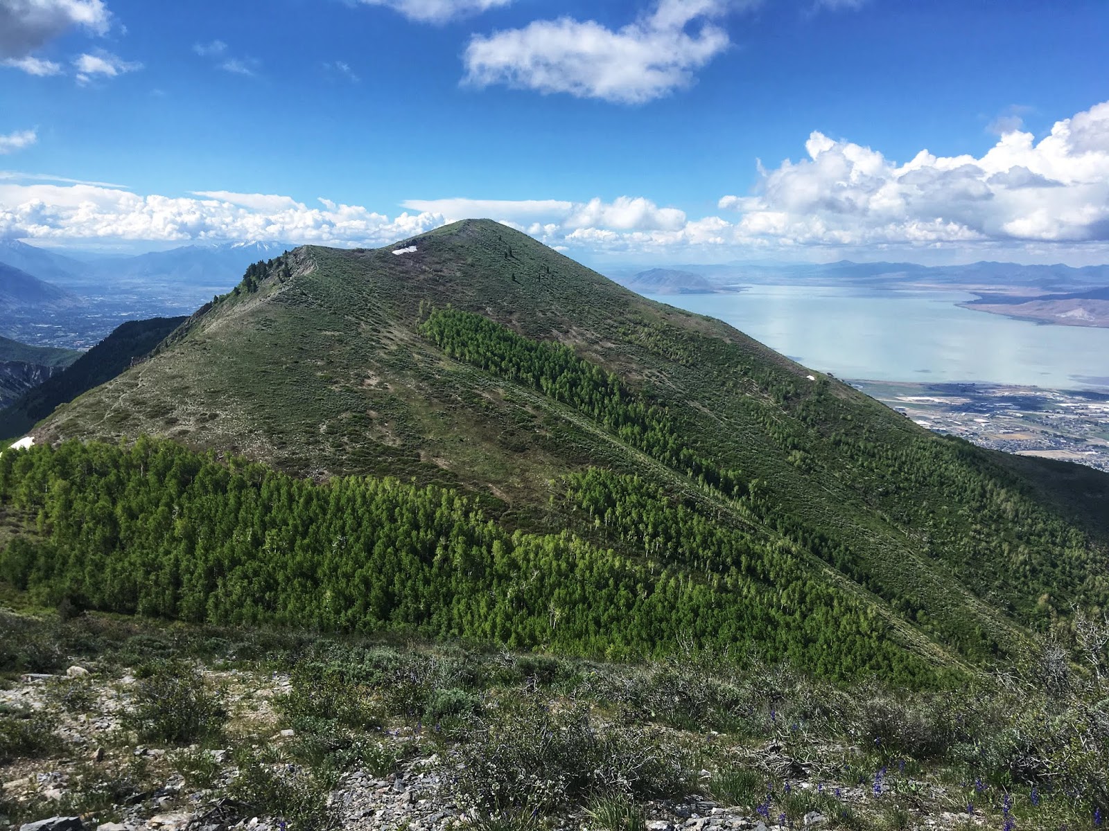
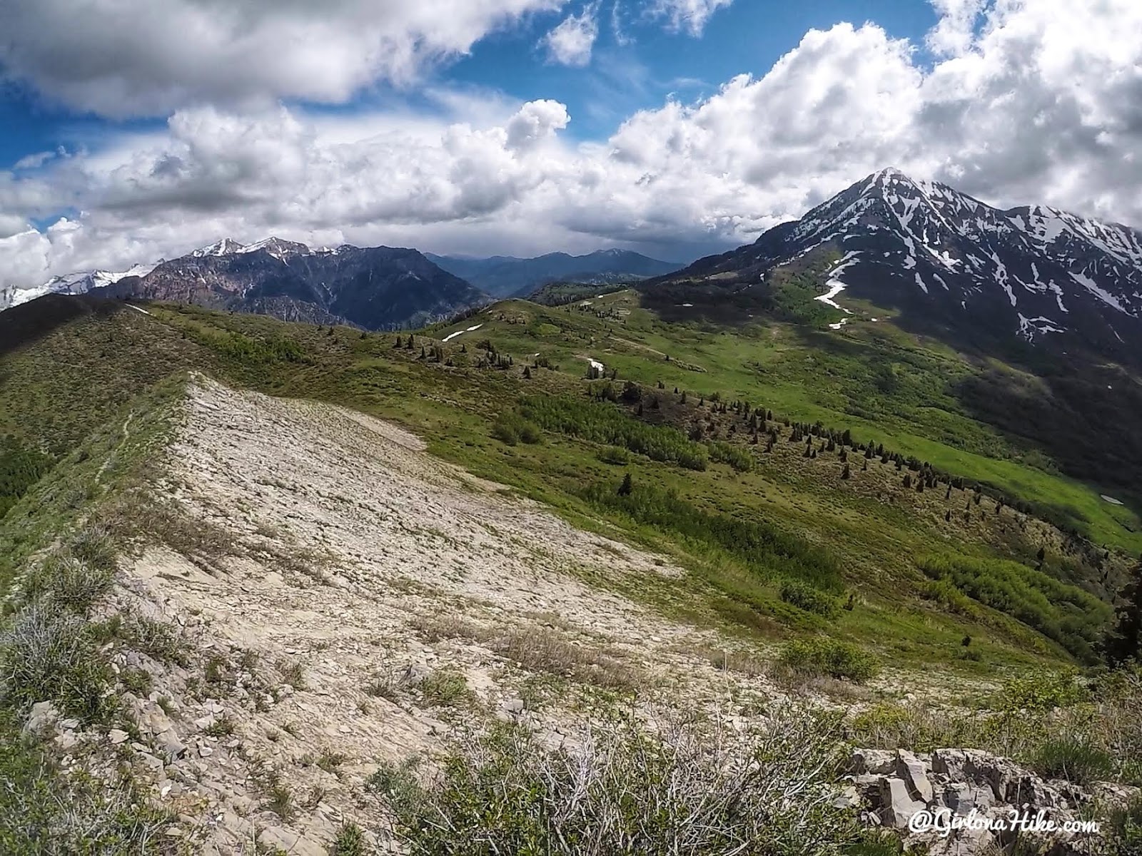
This is looking back to the North Summit.
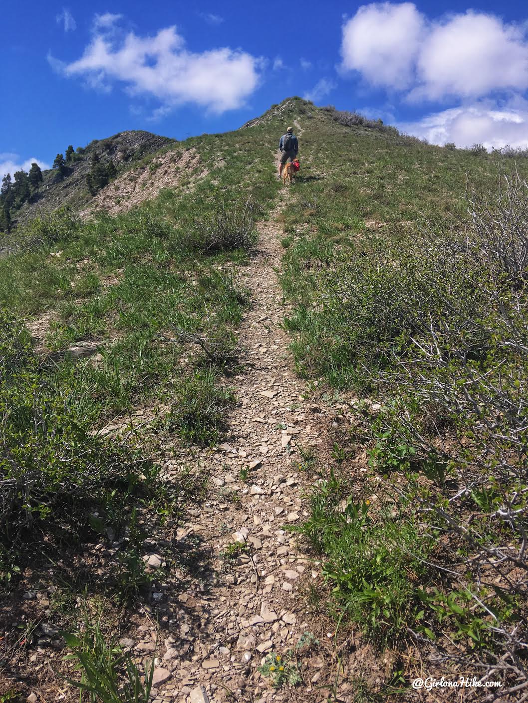
Climbing the last steep section before the South Summit.
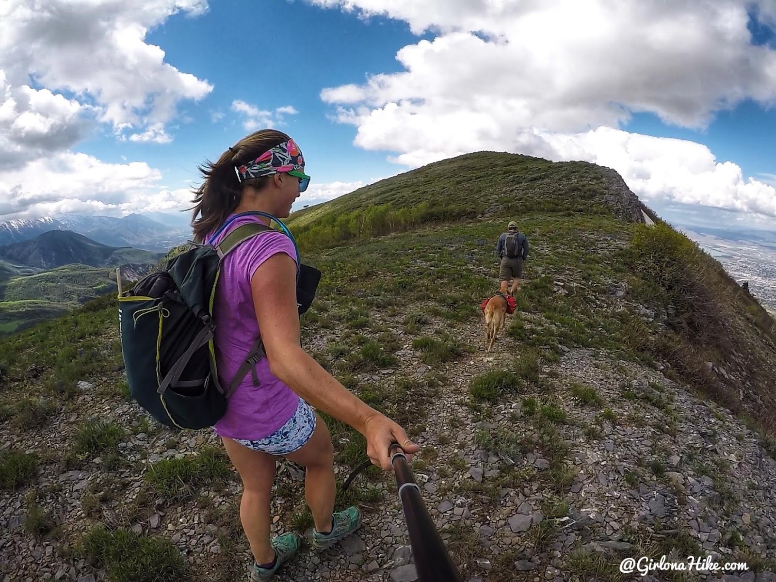
Whew, that wind really picked up as the clouds moved in.
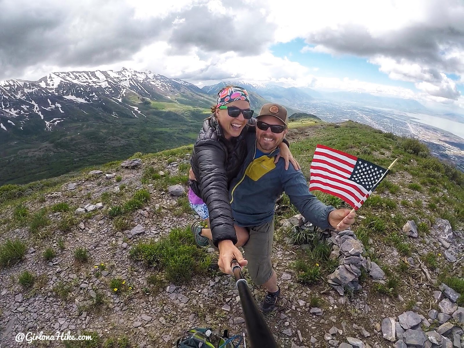
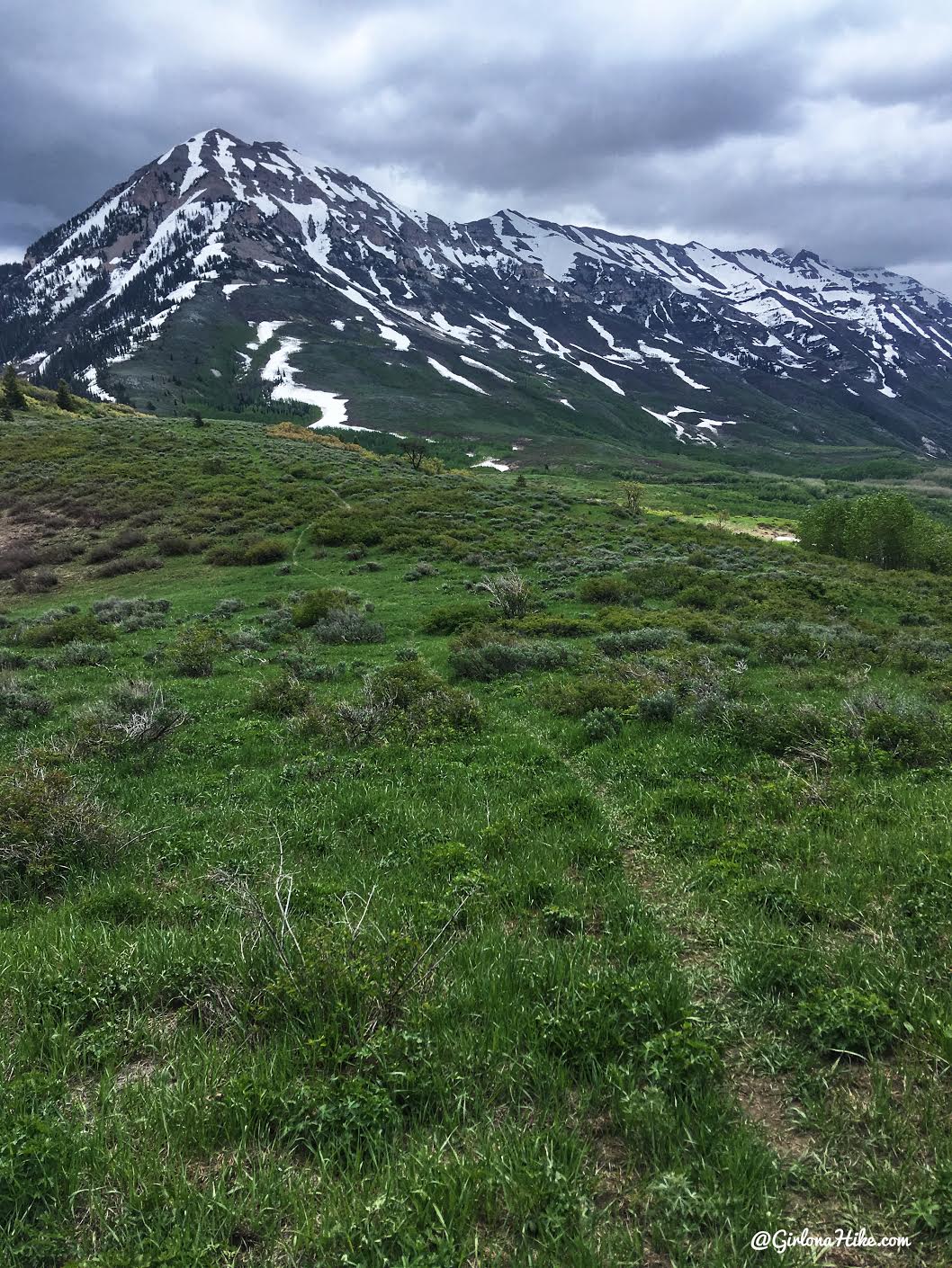
After eating a quick snack on the summit, we hiked back up to the North Summit, then dropped down the trail to connect to the Timpanooke road.
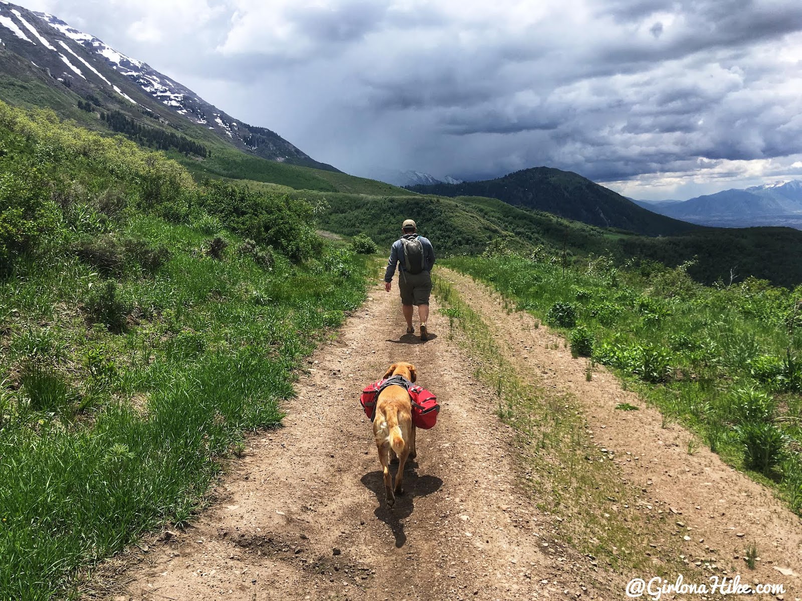
From there we hiked a few miles along the road until we saw the trail split for Grove Creek Canyon. You’ll see a brown trail marked “151” on the right side of the road.
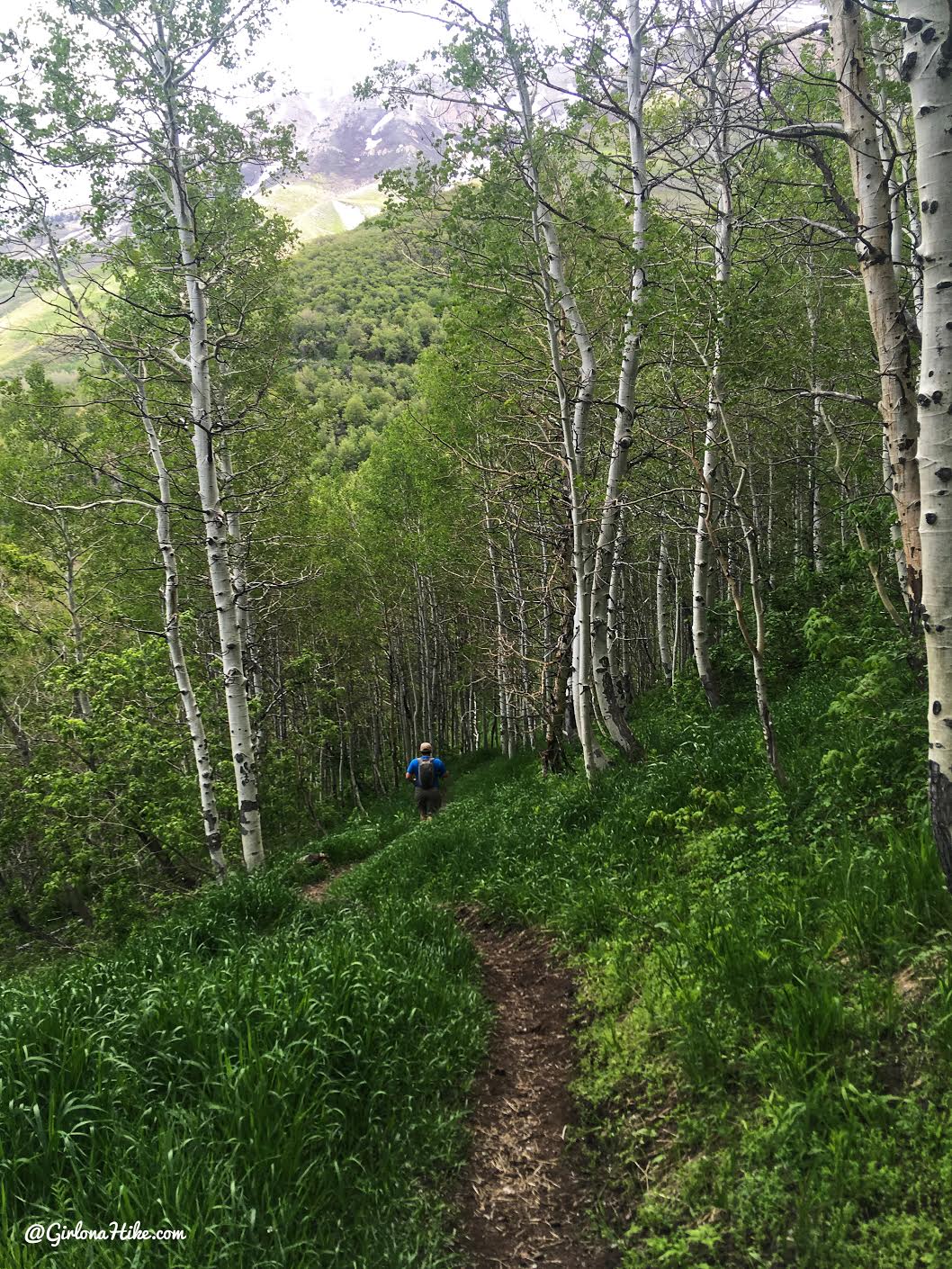
Hiking down to Grove Creek Canyon.
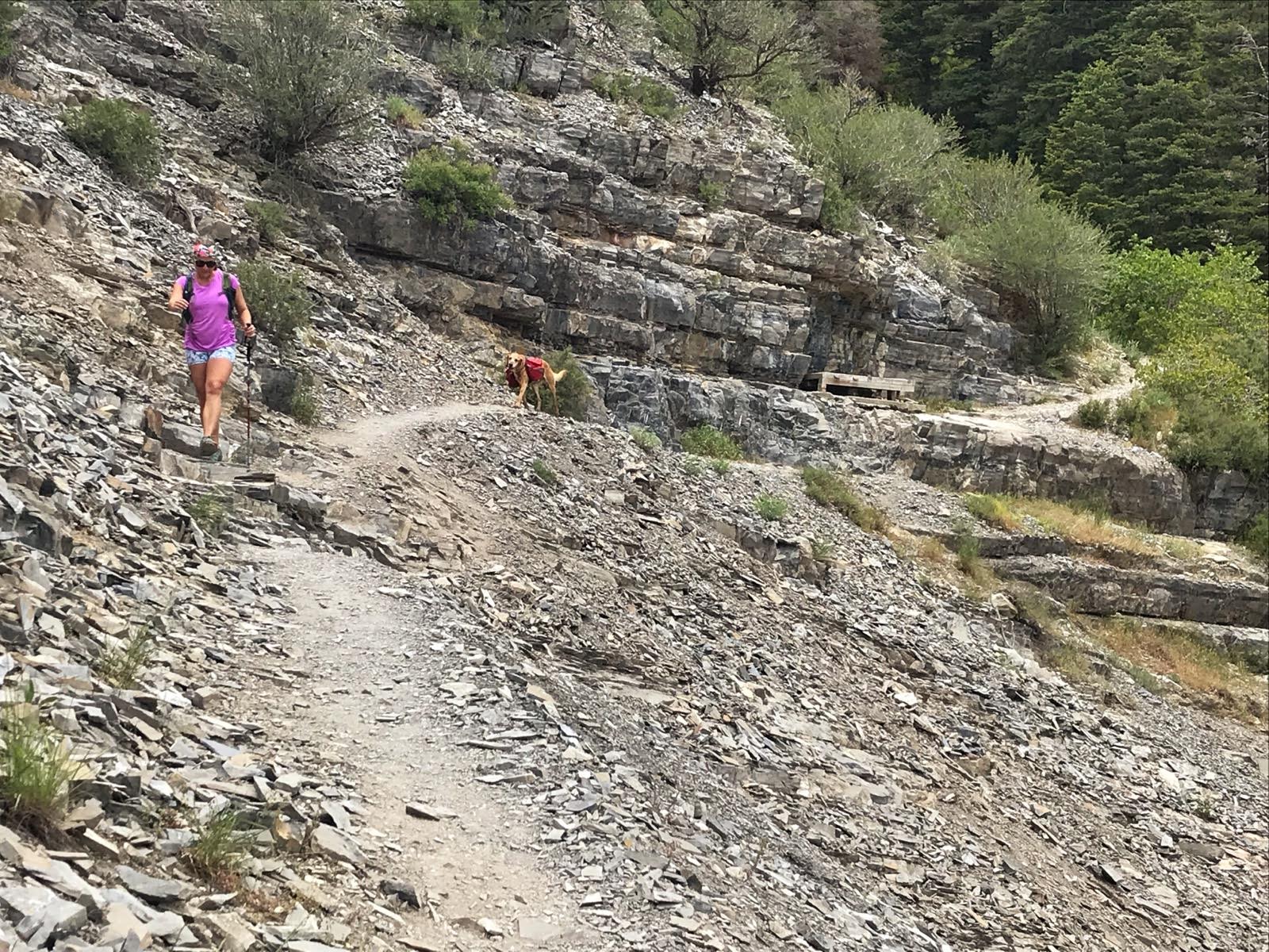
Exiting the canyon. From here we caught the BST and continued hiking North to meet up with our car. However, as soon as we got here, Charlie hit his hiking “wall” – he started hiking really slow, got over heated, panted more, and you could tell he was just done.
You can see my map below and now know why we didn’t complete the whole loop. We got off the trail as fast as we could and caught an Uber back to our car. We hiked a total of 14 miles, and had 3 more to go. I’m really happy we were able to have cell service most of this hike for emergencies like this. Sadly, I think Charlie’s max mileage these days is now 10-12, or at least in much cooler temps (below 50F). He’s recovering very well, and slept the rest of the evening and most of the next day. What a champ!
Check out my video!
Trail Map
My tracker decided to stop part way up the North Ridge, but thankfully I noticed quickly and started it back up. It only cut off about 1/4 mile.
Get your app here for a discount.
Nearby Hike
Hiking to Julie Andrews Meadow

Save me on Pinterest!
