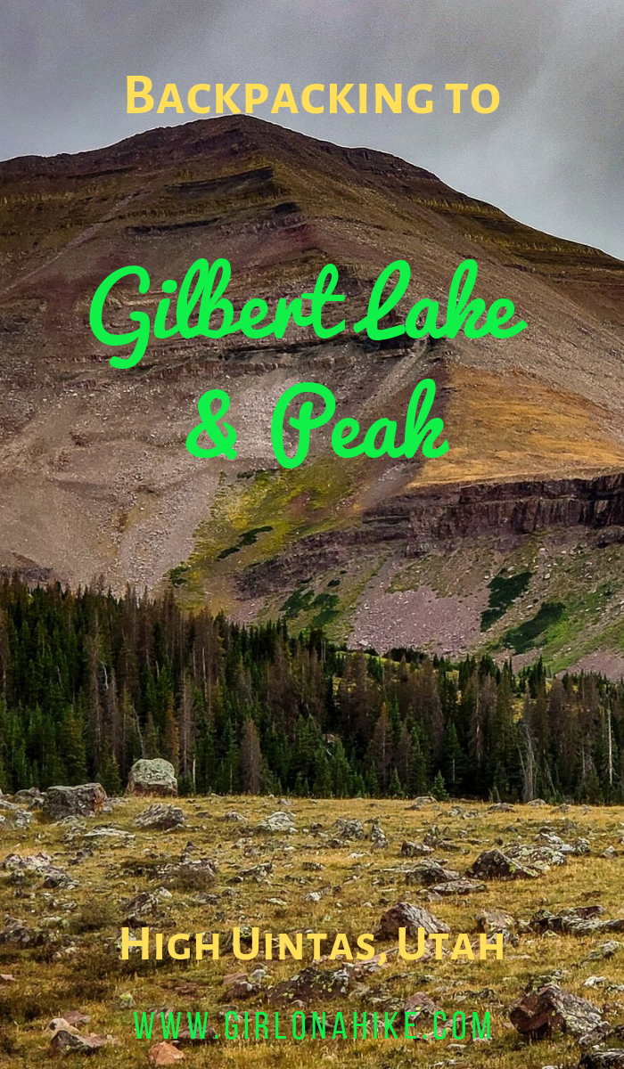

Gilbert Lake is located in the High Uintas Wilderness on the East end of the range, with Gilbert Peak (13,442 ft) being one of Utah’s “13ers” (a peak above 13,000 ft). It is the 3rd highest peak in the state, and the second highest county high point, and can be access by several drainages, with Henry’s Fork being the most popular, however we accessed it from Gilbert Lake. The trail to Gilbert Lake follows the West Beaver Creek trail for 9.2 miles before reaching the basin which has four lakes total, great campsites, lots of wildlife, and of course, fairly “easy” access to the peak.
About
To reach Gilbert Peak you’ll need to be comfortable hiking off trail, route finding, and boulder hoping. It’s only 3.5 miles to the summit from Gilbert Lake, yet gains 2,550 ft! Add that to an already high elevation, and it’ll leave you short of breath. You’ll end up hiking up one of the steep chutes to the ridge, then follow that up and over to the summit. There’s nothing technical about climbing this peak, but you should be in decent shape to get there. You can return to the lake the same way, or create a loop (what we did), hiking down the SE ridge. This puts you at only 6.3 miles RT. I would highly recommend doing this.
Though Gilbert Peak is very close to it’s neighbor Kings Peak (the tallest peak in Utah), this peak sees way less traffic and has just as amazing (and even better) views. For county high point peak baggers, this peak is a must.
Dogs that have peak bagging experience, and can hike long distances over rocky and boulder terrain, should do well on this hike. I always carry dog booties for emergencies to scraped up paws. Make sure your dog has at least 1 liter of water minimum. The same goes for kids – as long as they have experience with this they should do well.
This area can really only be accessed from July-October, when the road is open, the snow is gone, and the trail is dry. Thunderstorms typically happen every afternoon, so be prepared for any kind of weather. On our trip we got rained on, yet could see snow flying!
Directions
From the town of Mountain View, WY, head West on 1st Street toward Stadium St. Turn left on WY-410 East. Take another left on Co Rd 283, and continue on FR072. Left again on FR017, and another left for FR017. Turn right on FR046, then left on FR082. Take another right at the brown sign for West Beaver Creek, and park at the end of the road. I highly recommend the Utah Road and Rec Atlas map in case you lose cell service. I also recommend having an SUV or larger to reach the TH. Small cars may have issues with rutted/rocky roads, especially in wet weather.
Here is a driving map from SLC.
Trail Info
Distance:
25 miles RT (total)
9.2 miles to Gilbert Lake
6.3 miles RT (loop) for Gilbert Peak
Elevation gain:
1,840 ft to Gilbert Lake
2,550 ft from Gilbert Lake to Gilbert Peak
Time:
3-5 hours to Gilbert Lake
5-7 hours for Gilbert Peak (including 1 hour on the summit)
Dog friendly? Yes, off leash
Kid friendly? Maybe, depends on their backpacking and peak bagging experience
Fees/Permits? None
Day 1
Miles: 9.2 miles to Gilbert Lake
Elevation gain: 1,840 ft to Gilbert Lake
Time: 3.5 hours
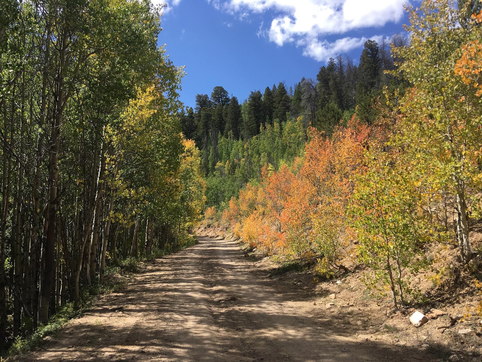
The drive was so pretty in early Fall!
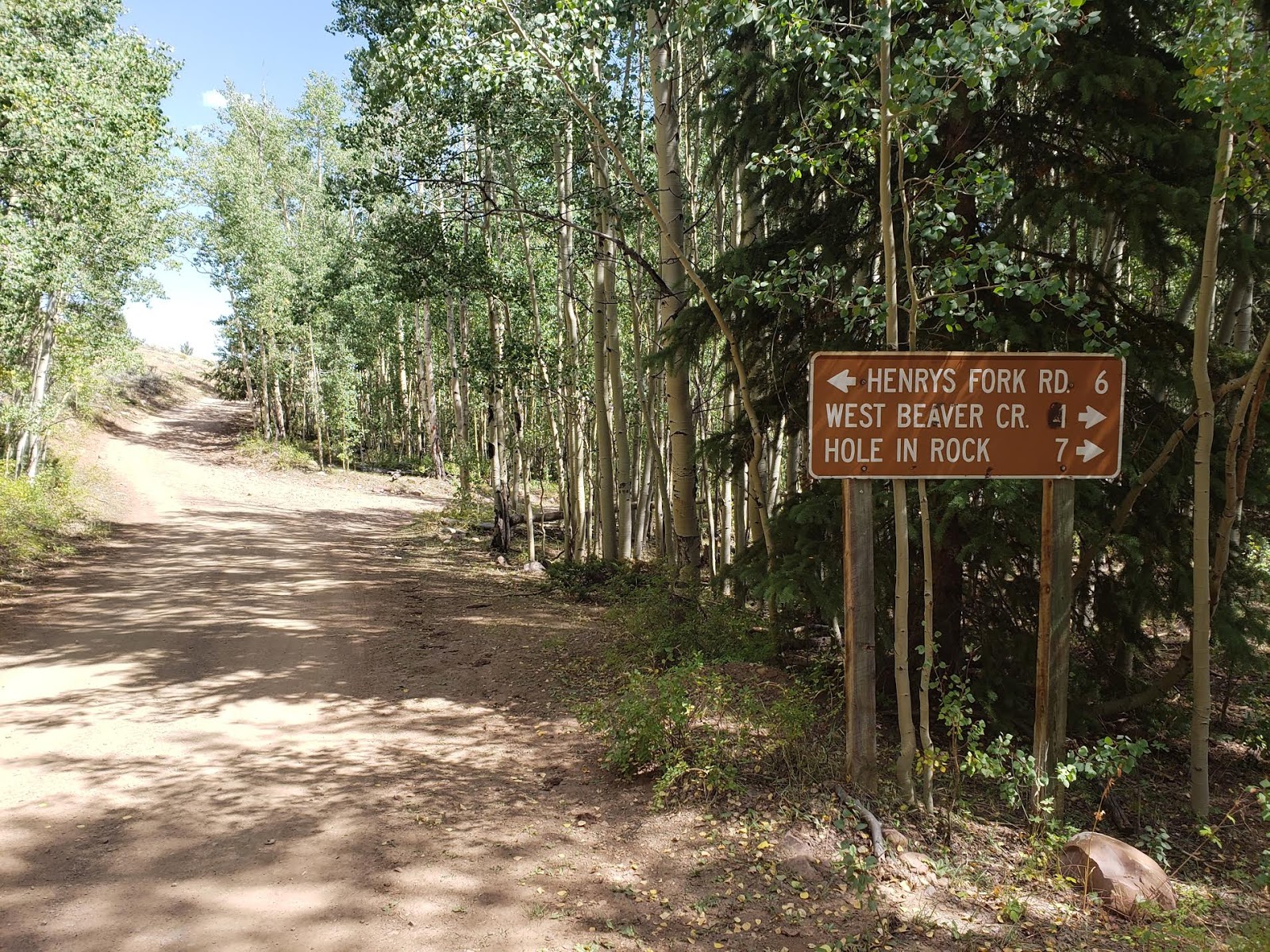
Follow the sign for West Beaver Creek, and turn right. You’ll dip down a cement ford and cross a stream. It may be high in early season up here. For us it was totally dry.
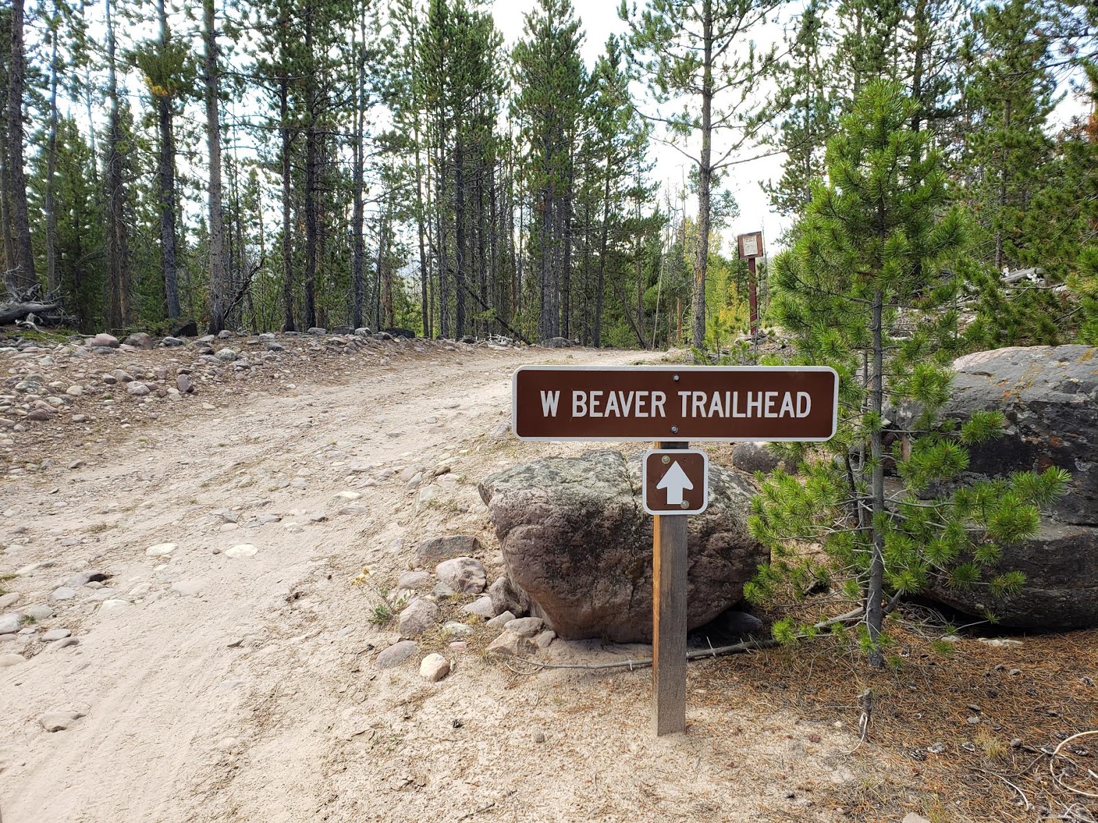
TH Sign
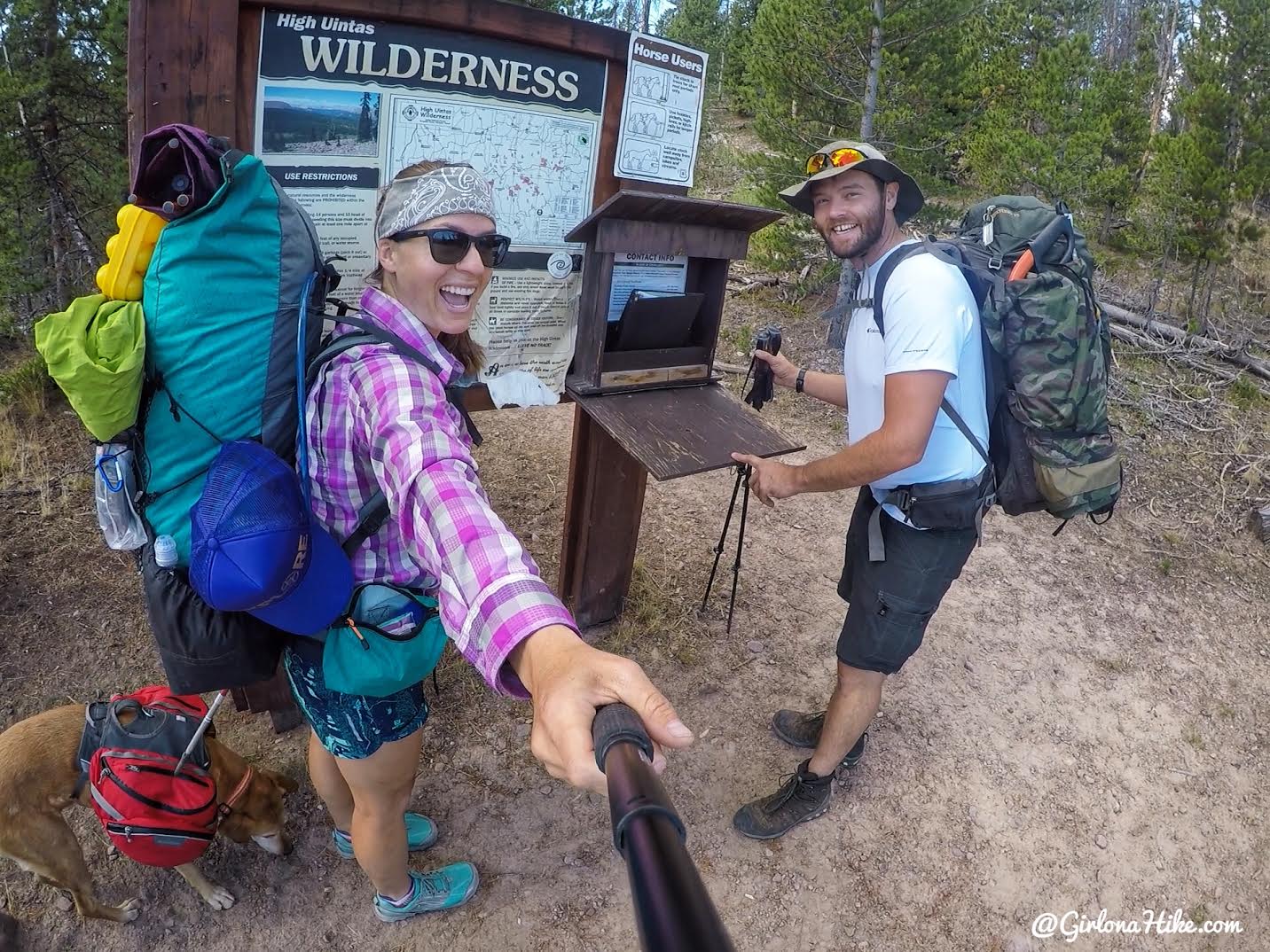
Ready to go with my friend.
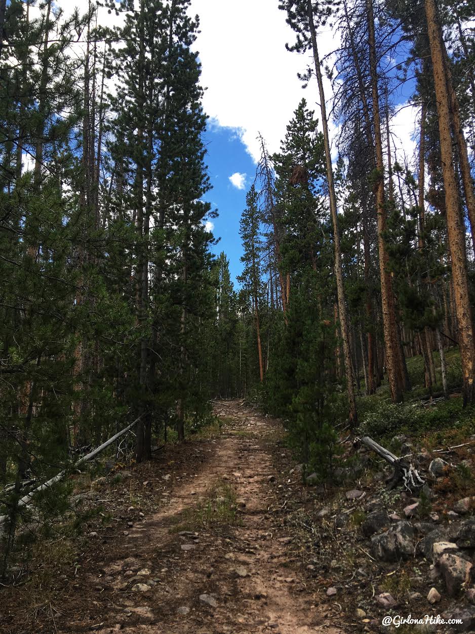
The trail is pretty uneventful for the first 3 miles. It follows an old jeep road, and it is on the sandy side.
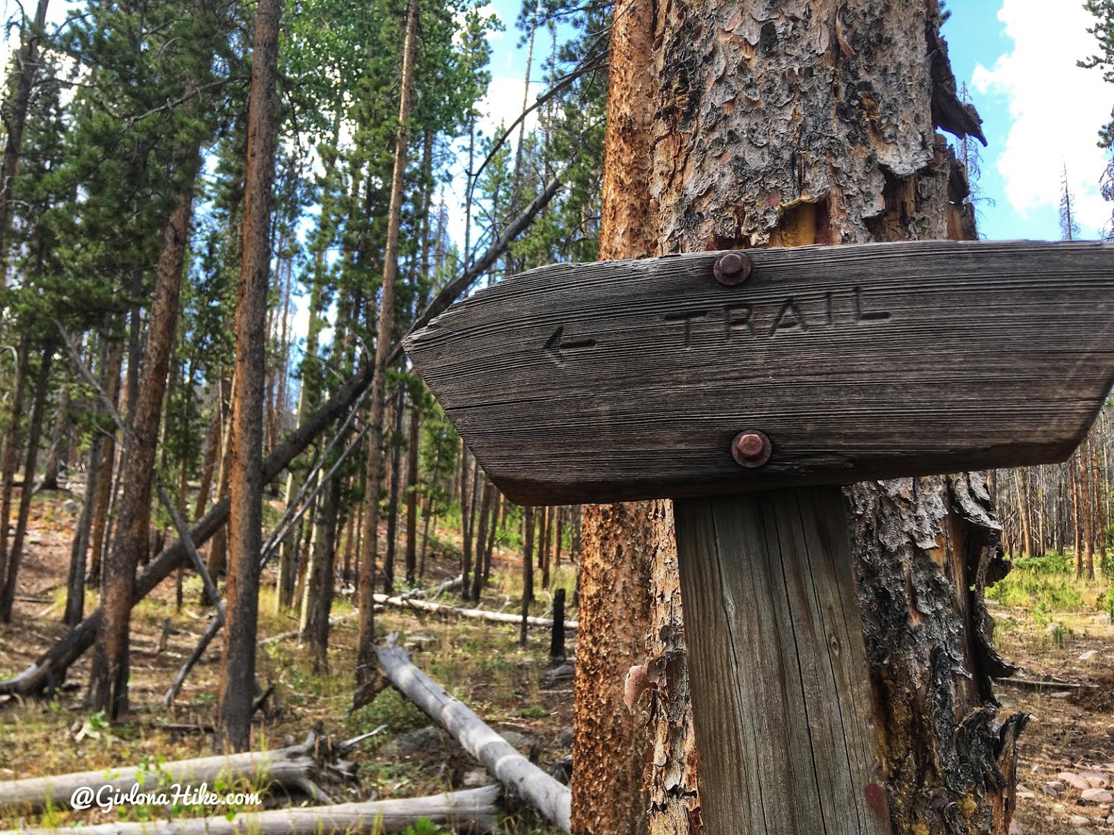
At 2.5 miles you’ll see this trail sign – keep left.
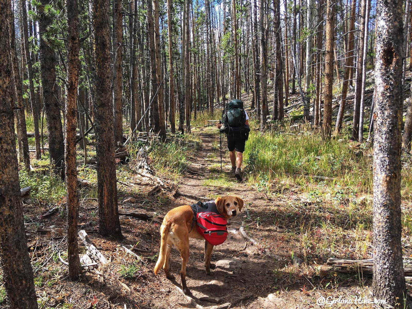
Wandering through lodgepole pines.
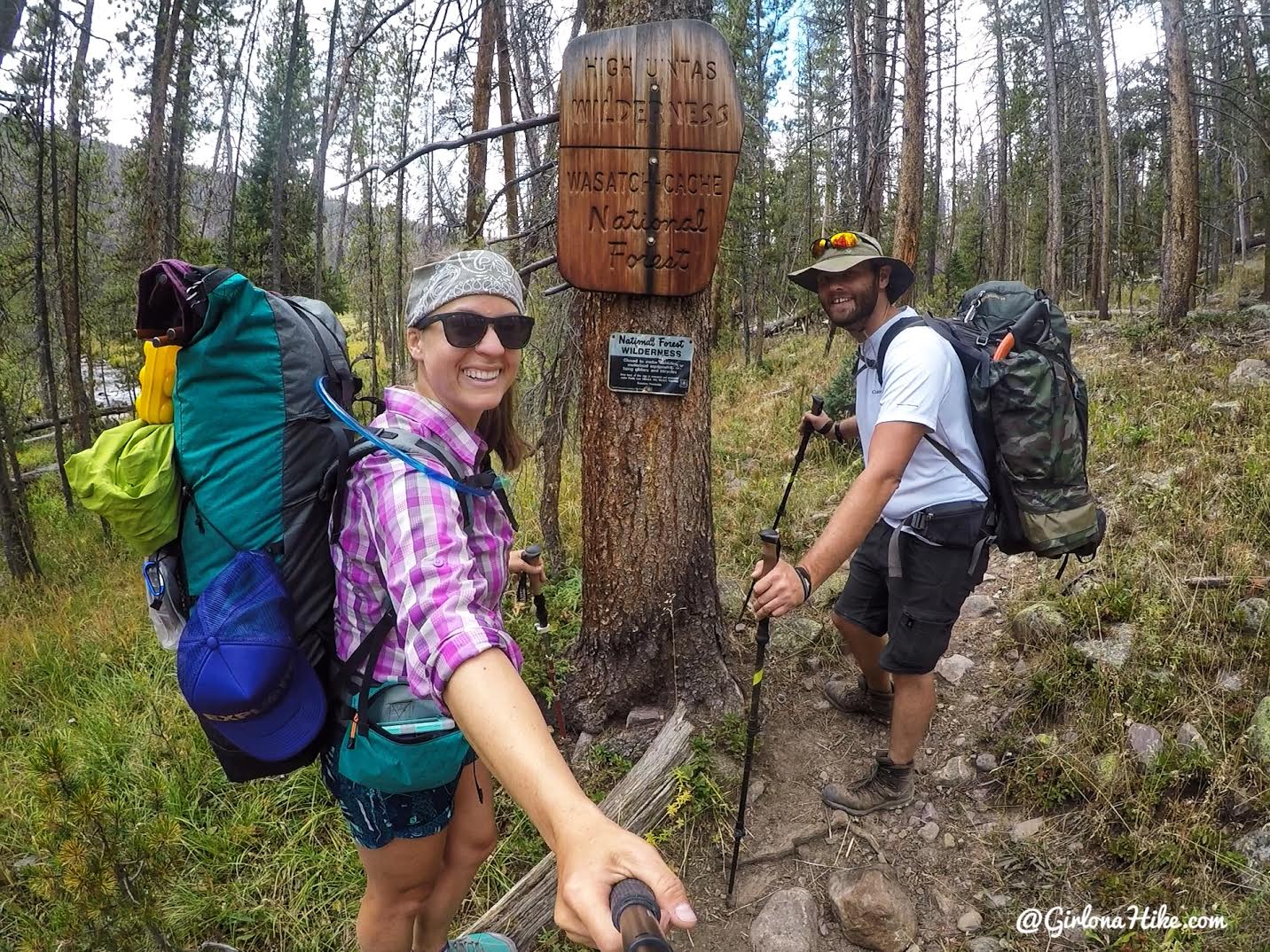
4.5 miles – reach the High Uintas Wilderness sign.
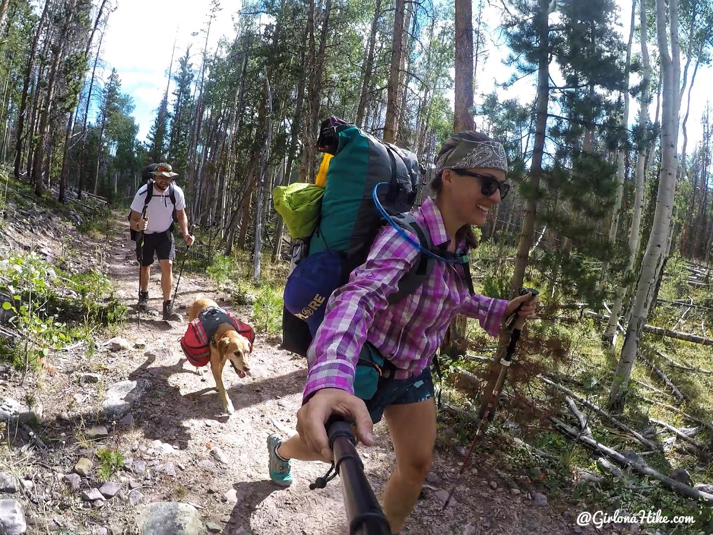
Yay, backpacking! LOL
Check out what pack I use here!
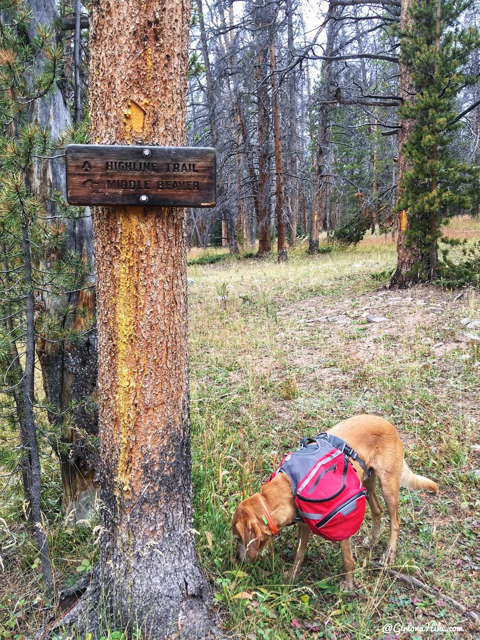
The next trail intersection at 5.7 miles is a little confusing. The map shows to go straight, but you actually have to turn left and cross the river, then it goes straight (South). Somebody has carved “Gilbert” pointing left, and they are correct.
Charlie sniffs the local pee smells, his favorite!
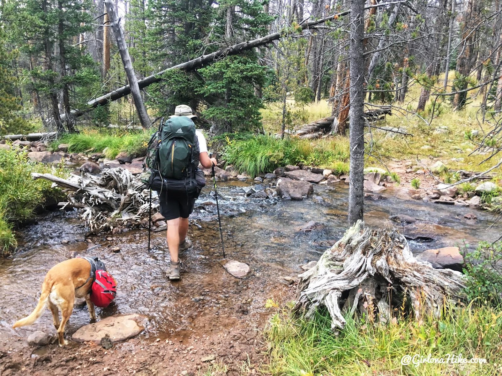
About 25 feet from the trail split, you’ll cross the West Beaver Creek. It was low enough we didn’t have to change into water shoes.
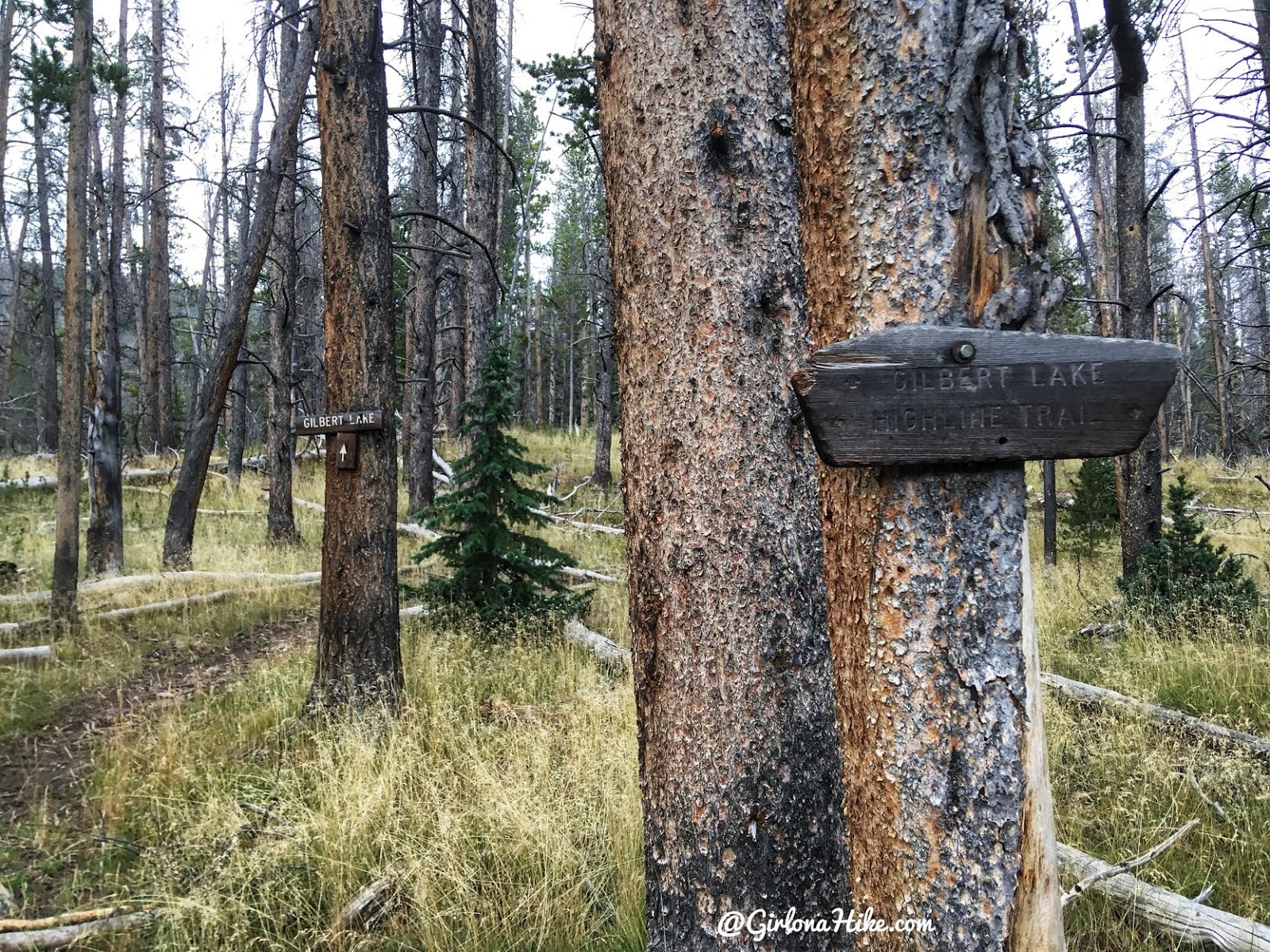
As soon as you cross the creek, you’ll see the Gilbert Lake signs.

Around 1pm the usual Uinta thunderstorms rolled in, and we covered up our gear. I just bought these shorts so I wasn’t too concerned with getting wet since they dry really fast. My leggings would be waiting for me at camp, so I could warm up then. Around 7 miles, you’ll have your first good view of Gilbert Peak!
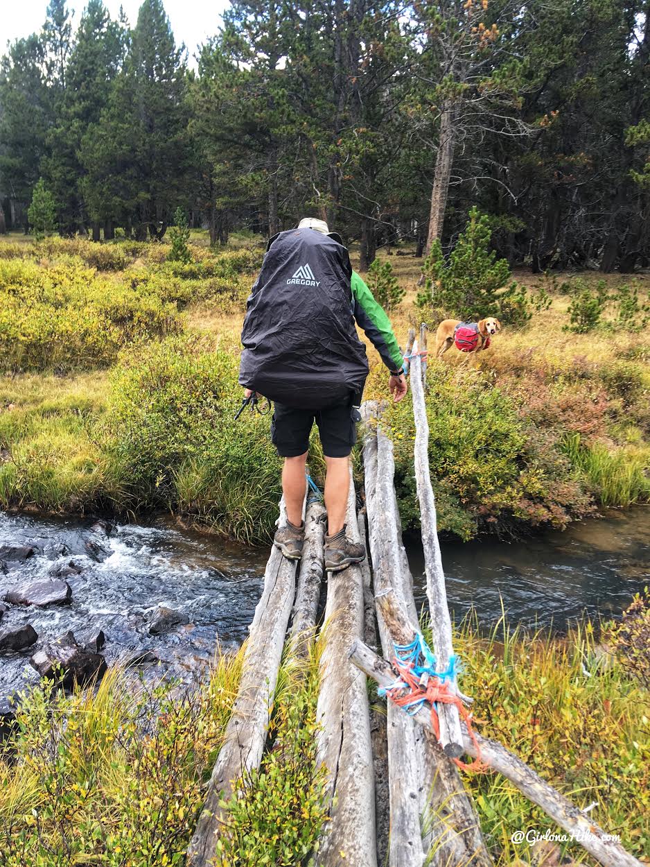
Crossing the creek one more time.
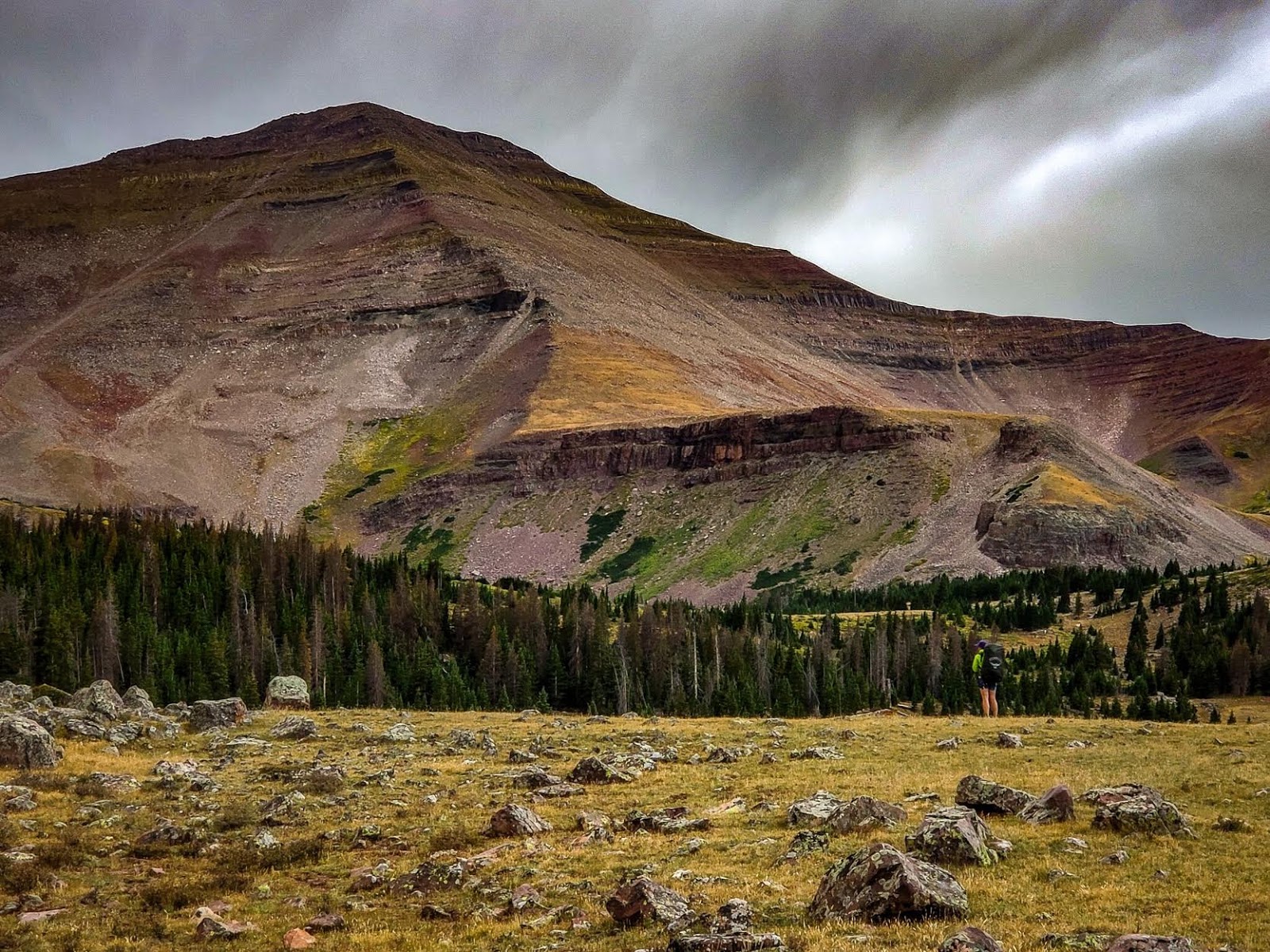
Gilbert Peak towers over me as we approach Gilbert Lake.

Charlie beats us all to the lake. There were plenty of campsites to choose from here, and even the upper lakes (ranging from 0.5-1.0 mile further). It took us about 3.5 hours to reach the lake
.

Our sweet campsite!
Day 2
Miles: 6.3 miles RT (loop)
Elevation gain: 2,550 ft
Time: 5-6 hours
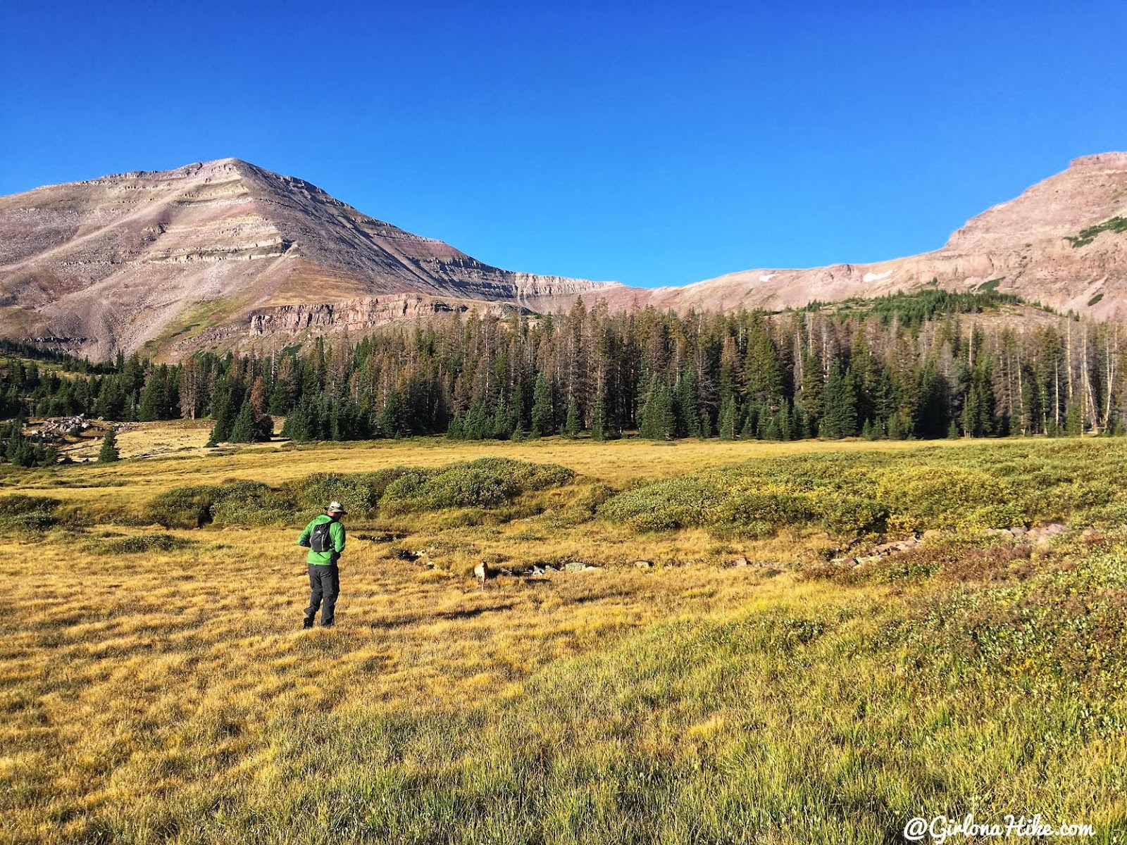
The next day our goal was Gilbert Peak, the Summit County High Point. We started by heading around the West side of the lake, and aimed for the ridge.
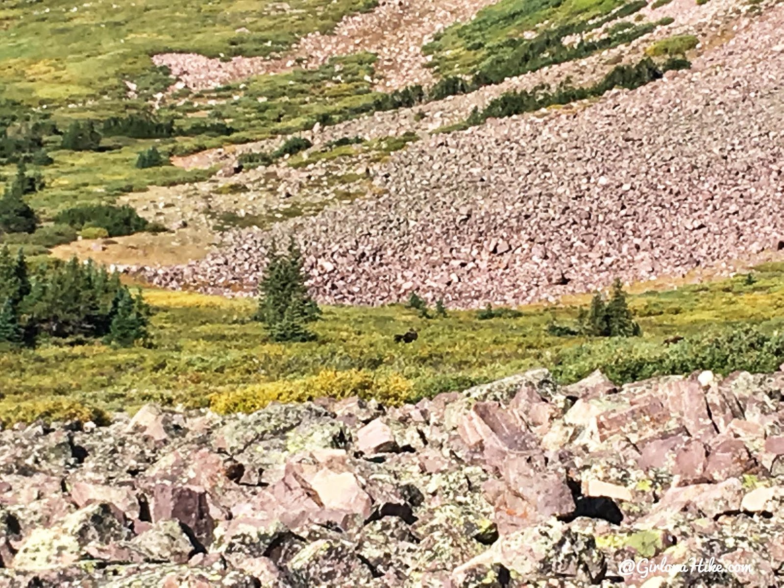
As we crossed another meadow, we saw a family of 4 moose! We gave them plenty of space by hiking around them to the North.
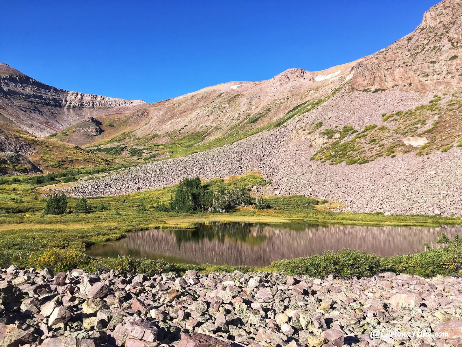
Our original goal was to reach the small ridge in the shadow in the left of this photo. We figured we would hike straight up then, then follow the spine above to the ridge. We kept to the right of this pond to avoid marsh.
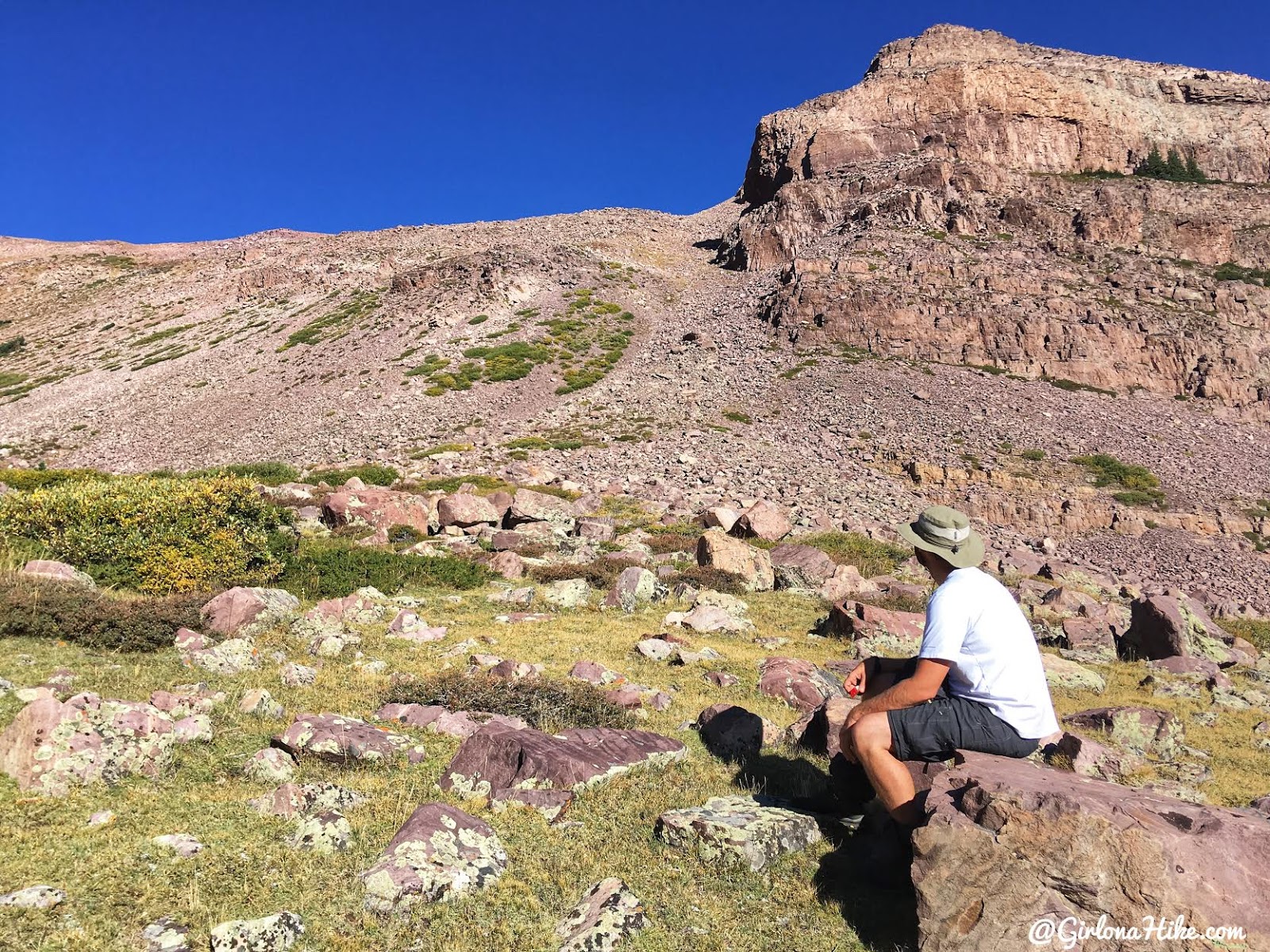
But, as we got closer and took a break, we felt that this chute seemed better. We changed our plans to hike straight up this to the ridge.
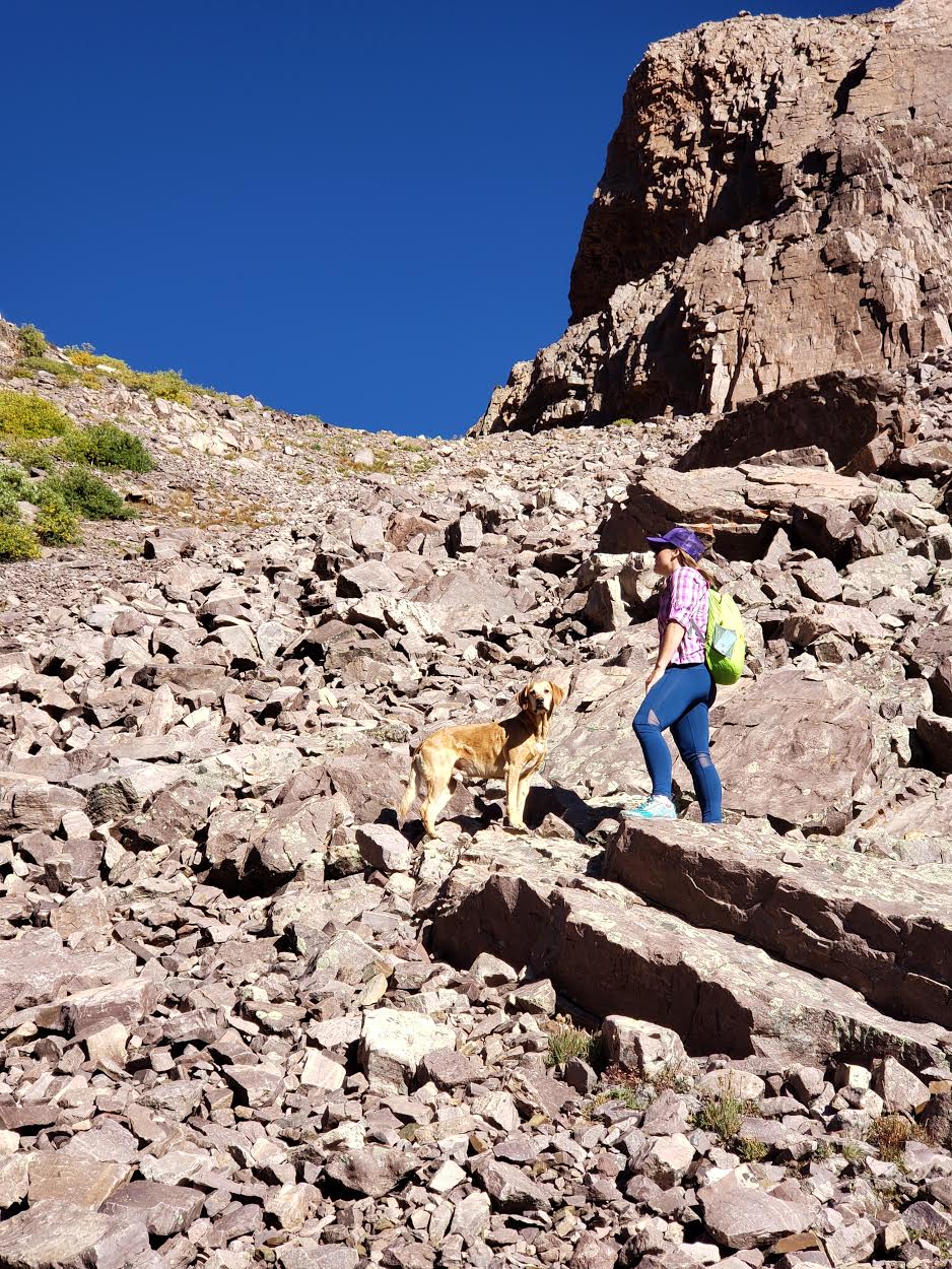
It’s definitely steep with loose boulders, but not too much talus.
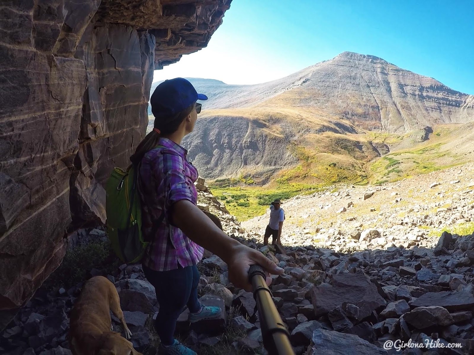
We hugged the cliffs on the right heading up, which seemed like more stable boulders and it provided shade.
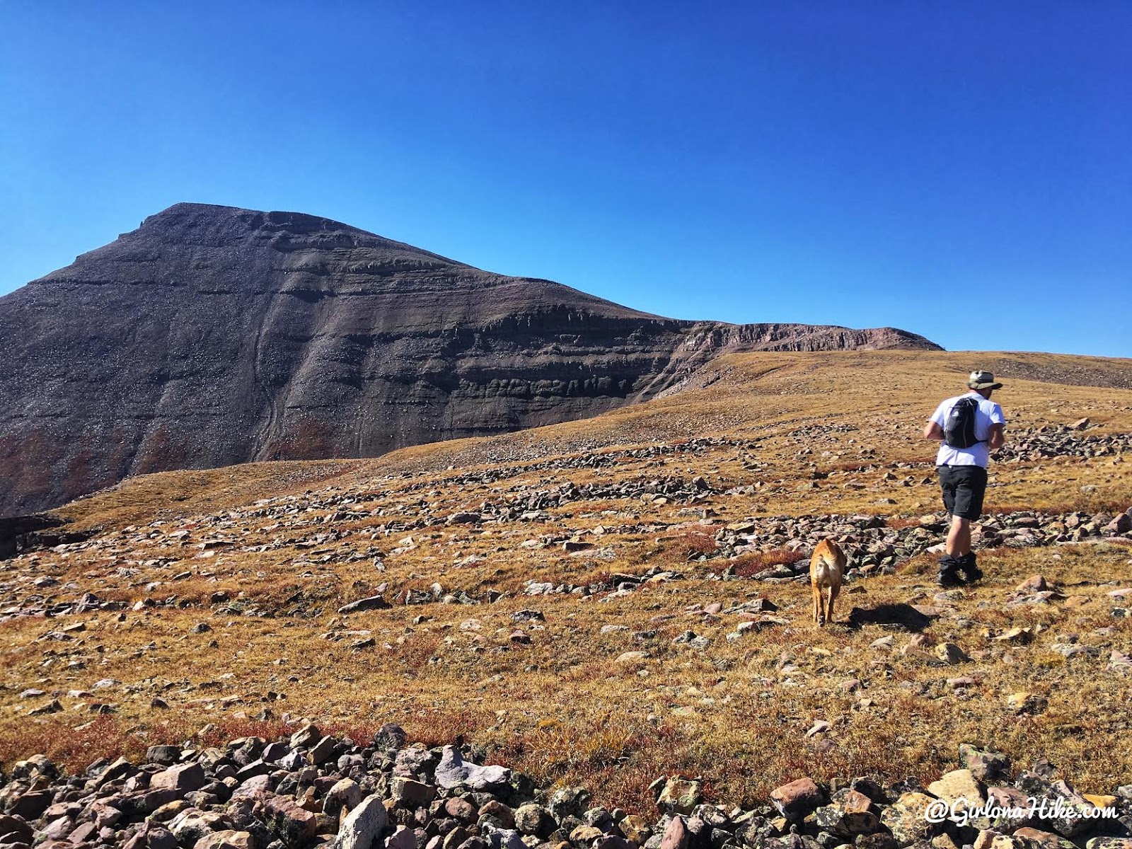
Finally, on the ridge. Easy hiking for the next 1/2 mile!

The view of Gilbert Peak was amazing from the ridge!
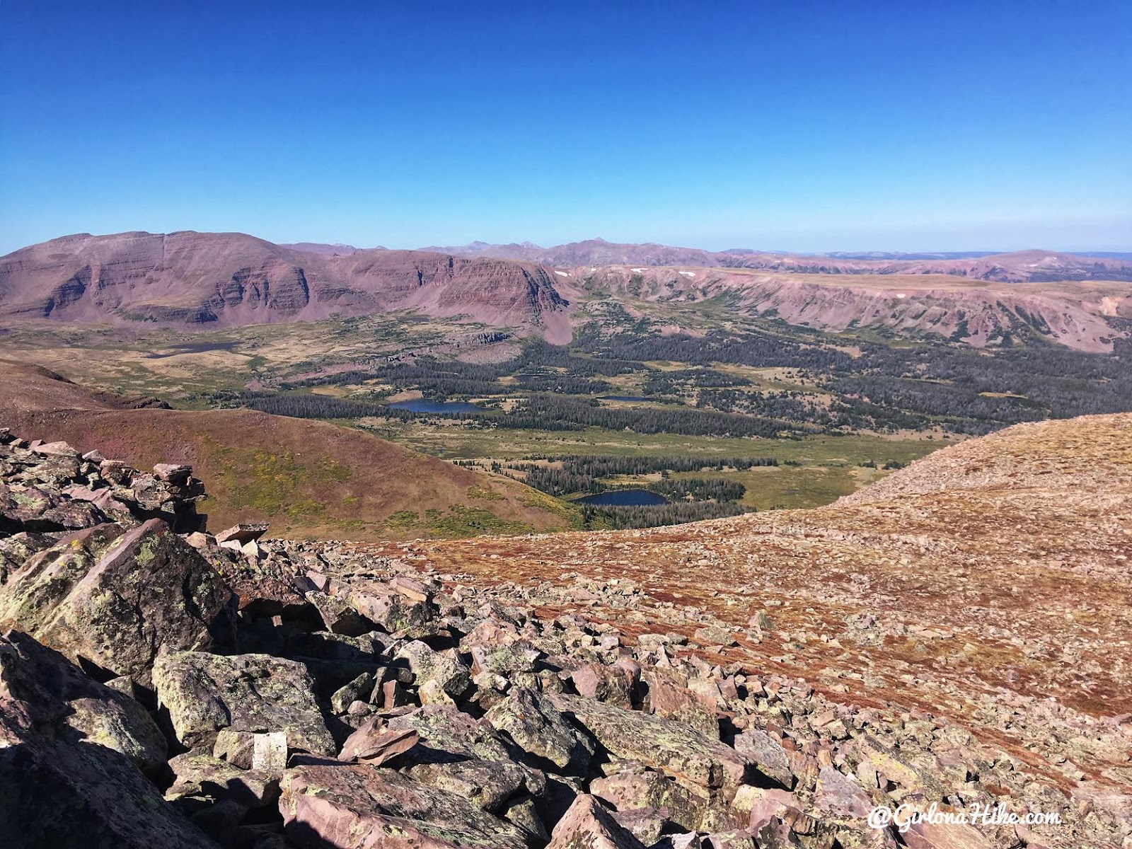
Our first view into Henry’s Fork with Dollar Lake below. This is the most popular route to King’s Peak. While there were only three groups of campers at Gilbert Lake, we knew Dollar Lake would contain hundreds of people, especially over Labor Day.
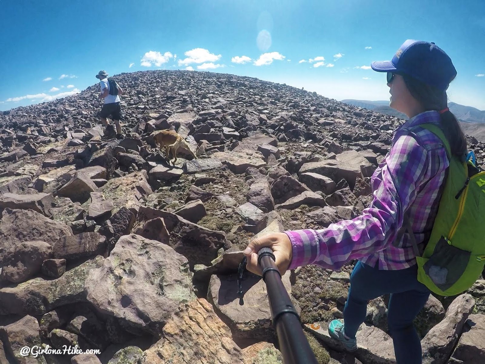
Whew, around 13,000 ft breathing got harder and we slowed our pace down a little. We were so close though!
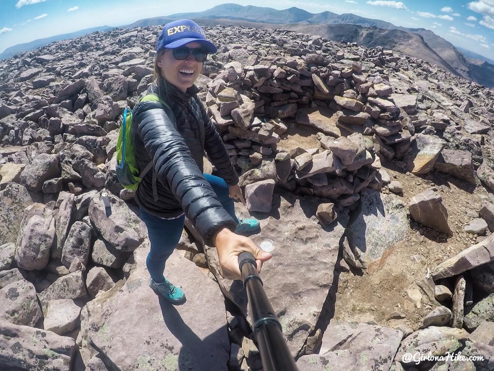
It took us 3 hours 8 minutes to summit Gilbert Peak!
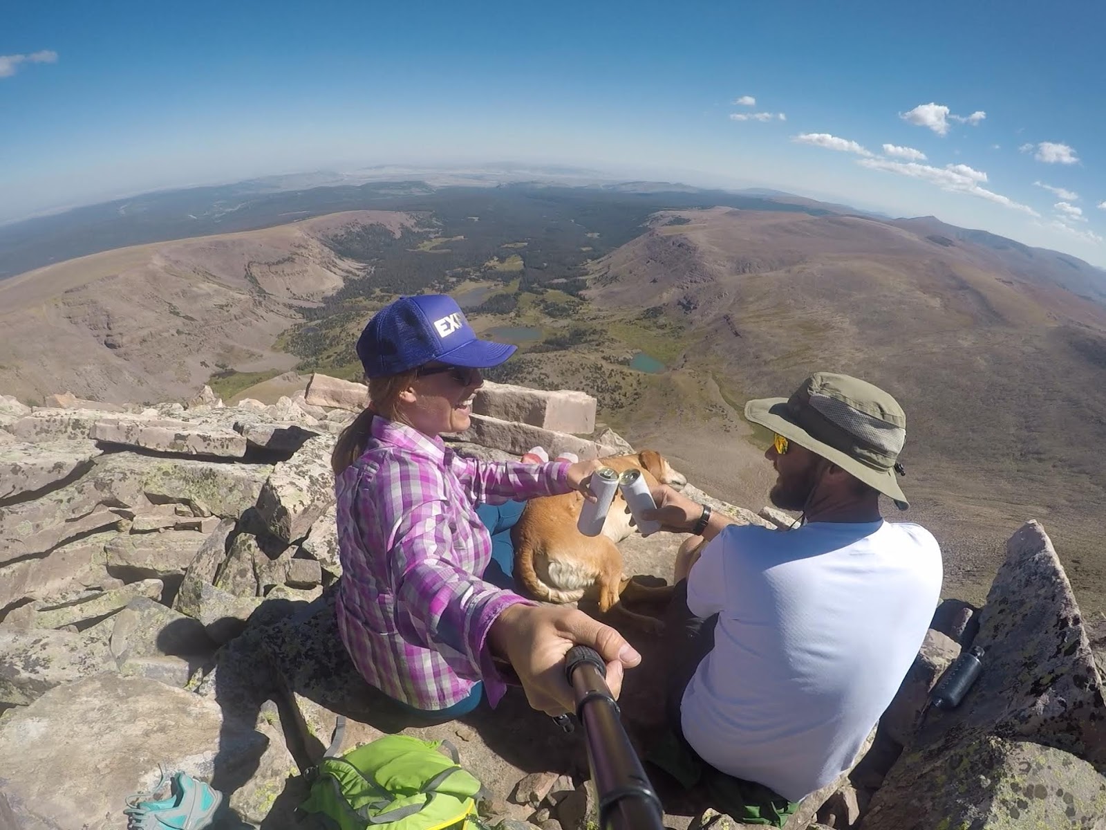
Cheers to Labor Day and peak bagging!
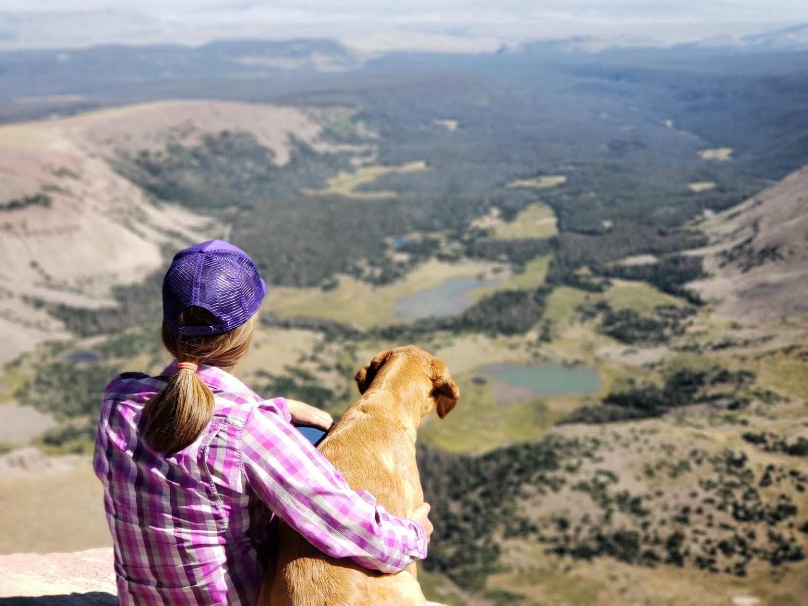
What a view! This was one of my favorite peaks of the year so far.
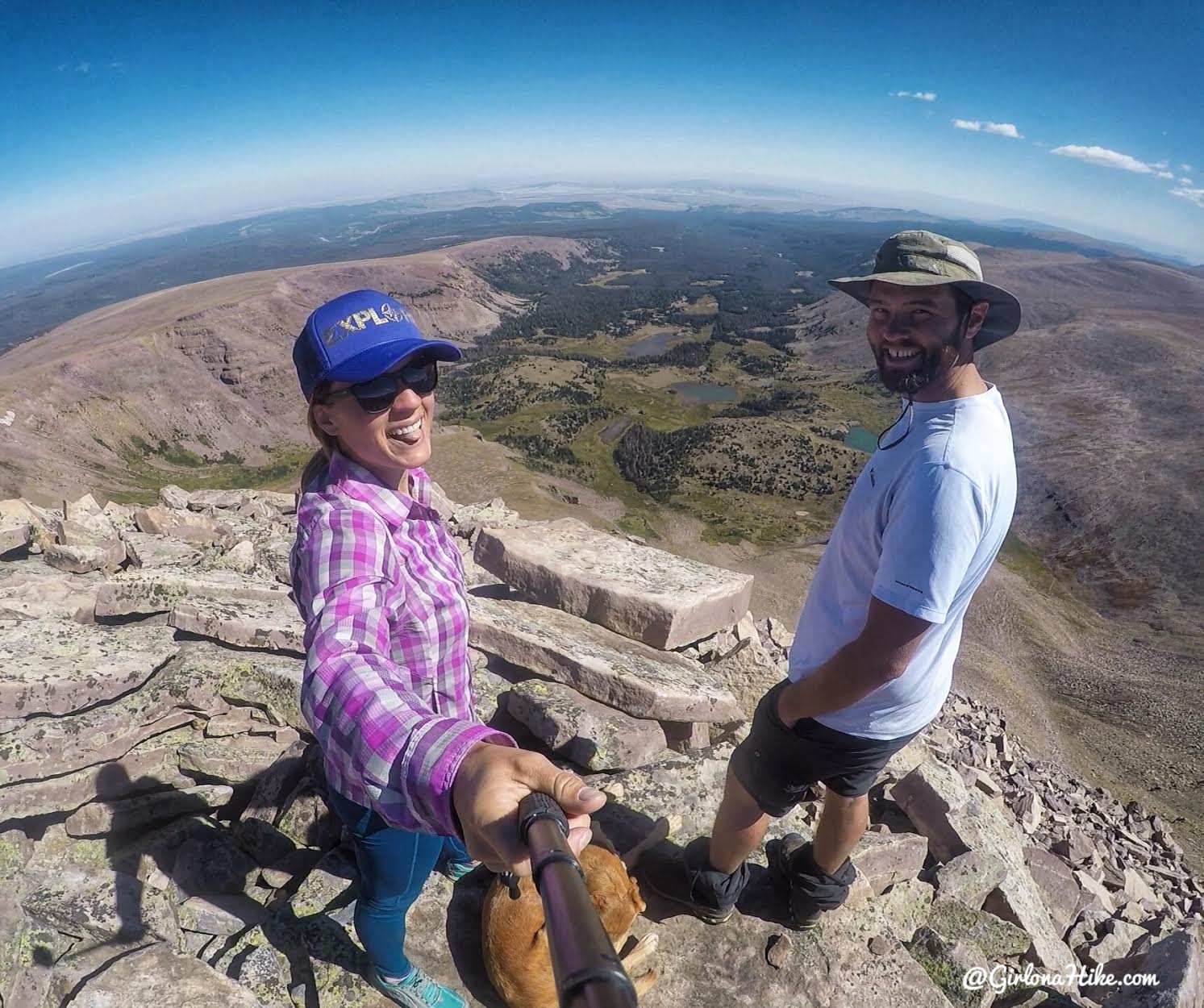
Sun’s out, tongue’s out haha!
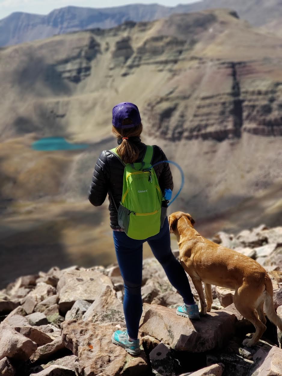
Whoa, now that’s one of the prettiest and bluest lakes I’ve seen in the Uintas.
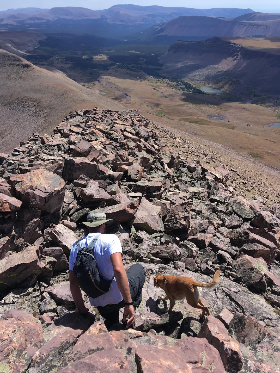
On our way down, we decided to turn this into a loop and hiked down the SE ridge. Still more boulders…
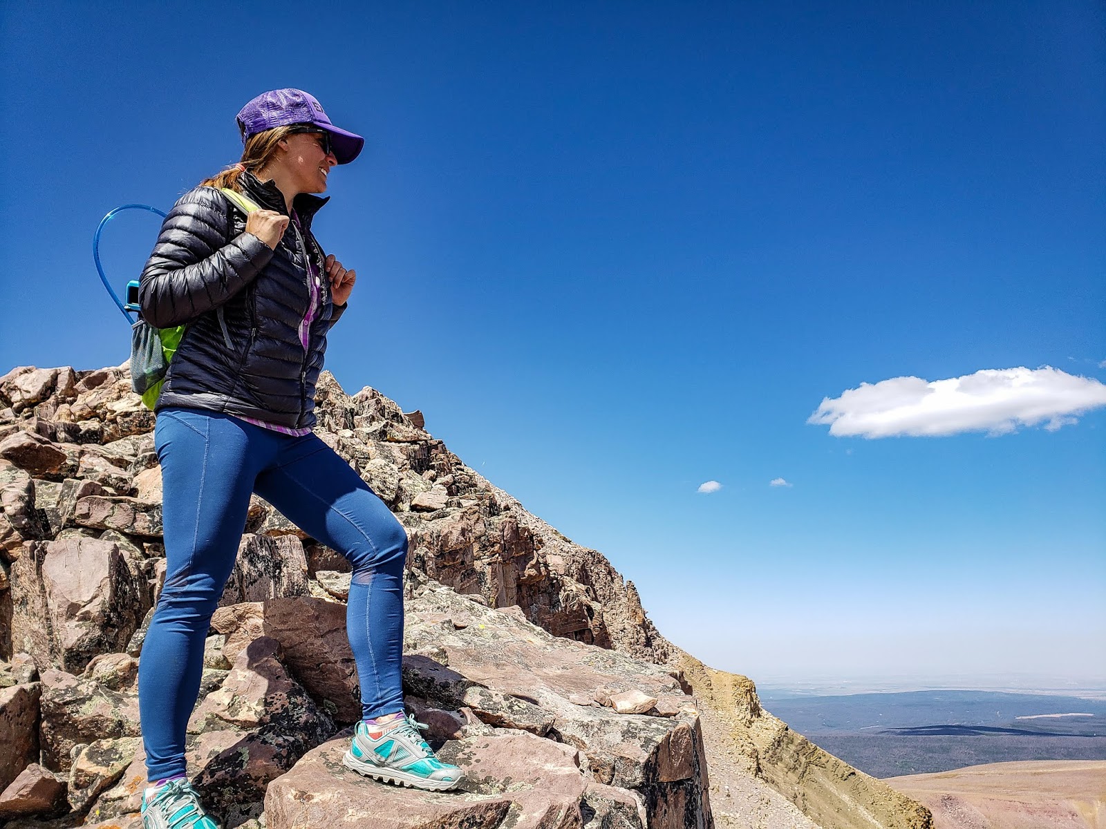
We had amazing weather for this peak! Temps on the cool side, one cloud, and a light breeze. Couldn’t have asked for better conditions.
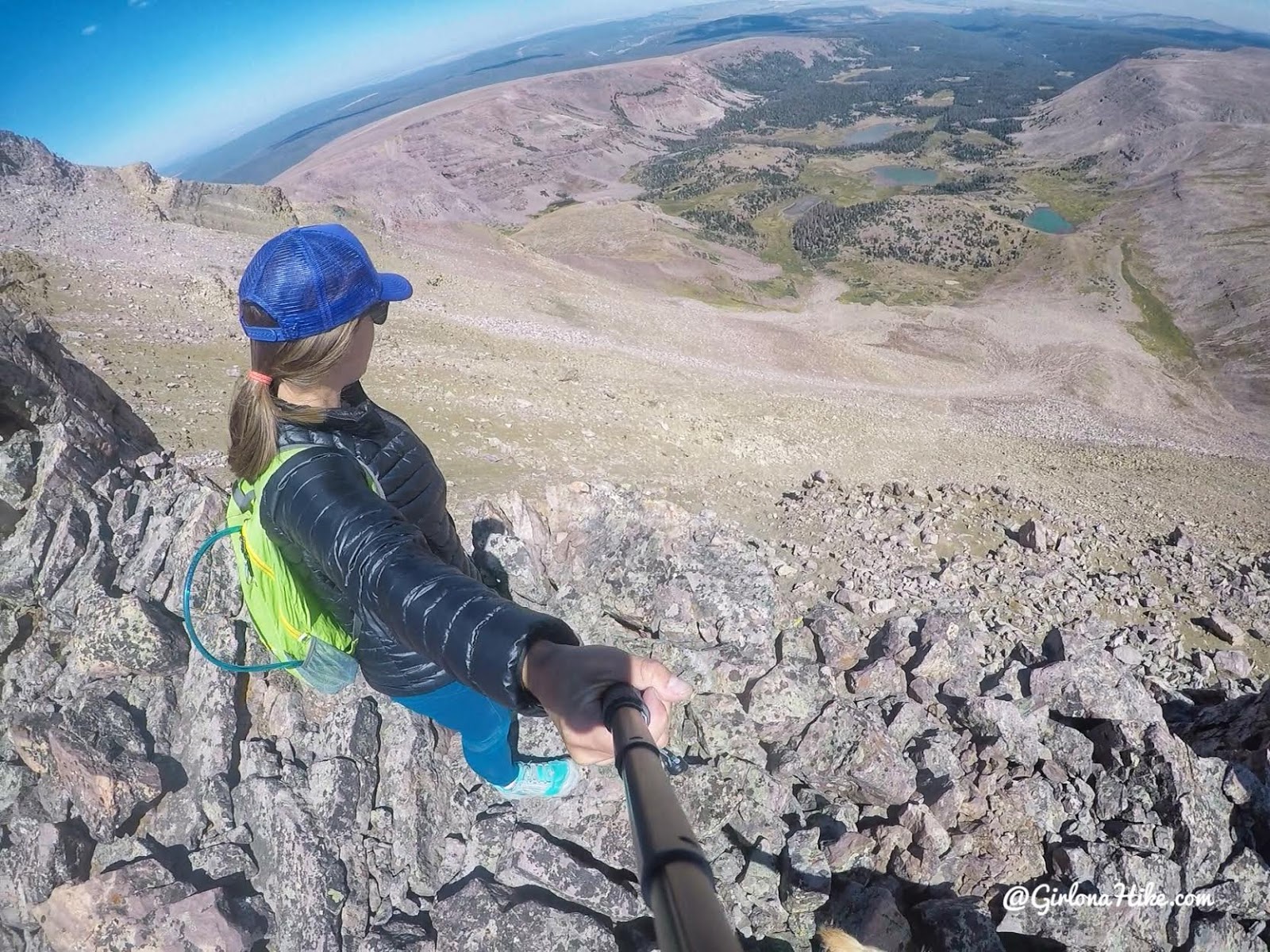
Ok, now that’s a little steep!
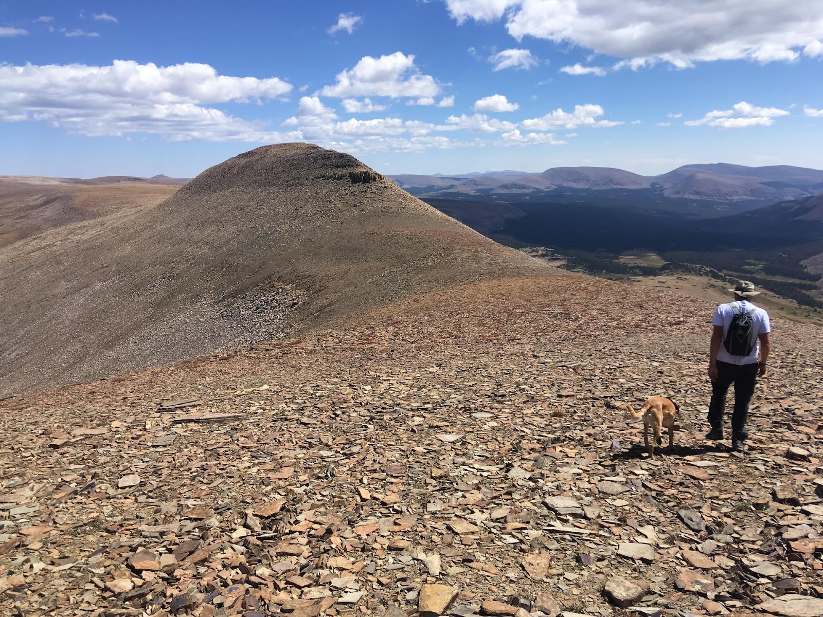
As we reached the saddle on the SE side, we started to aim straight down back to the lakes. The saddle had the easiest section of hiking. A nice relief from boulders!
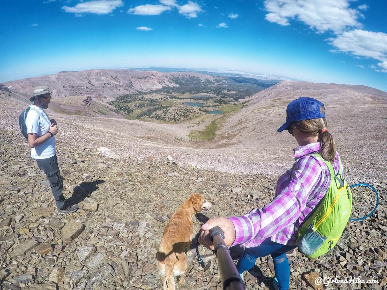
At the saddle, picking our route out. There’s really only one option – straight down. We did try to make small switchbacks.
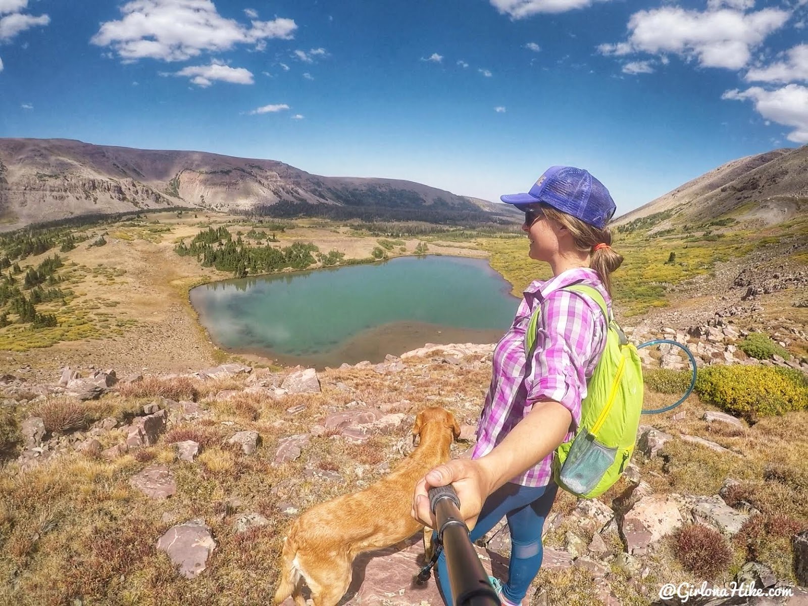
After dropping back into the basin, we explored some of the unnamed lakes.

Back at camp, having some down time with my baby. Charlie did great on the peak, but he was definitely worn out!
Day 3
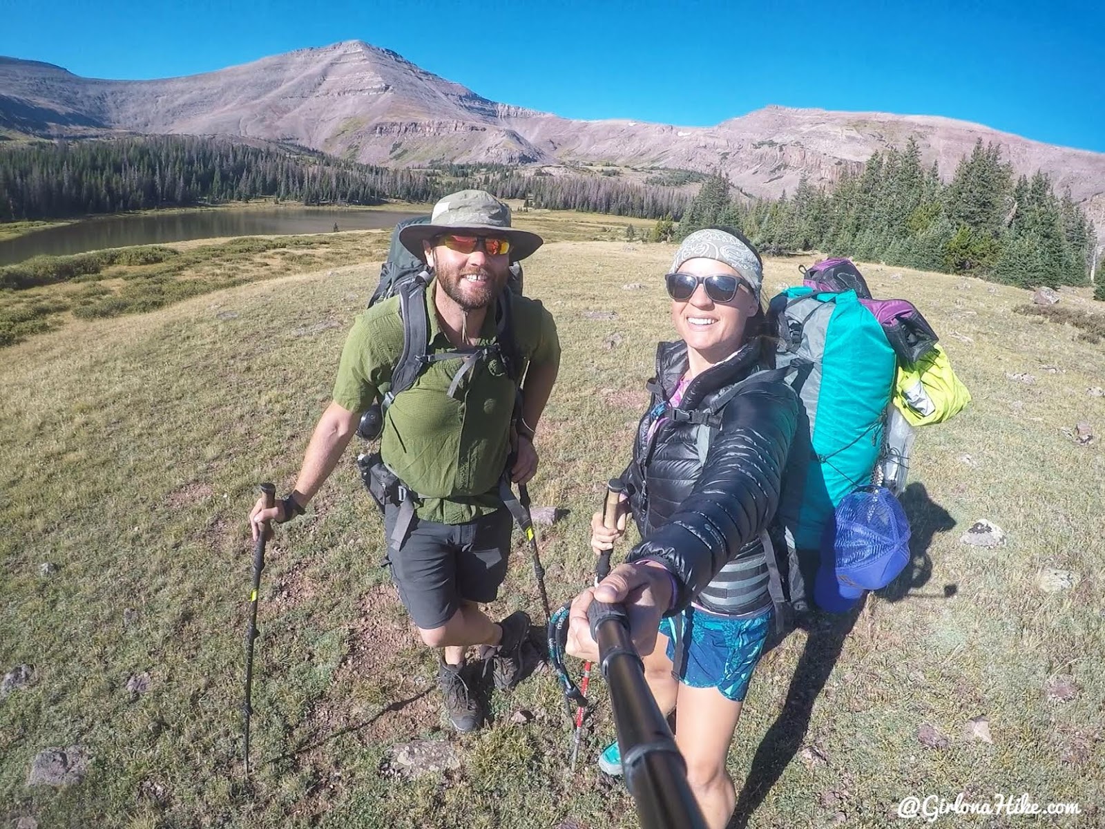
We were packed up and ready to head back to the cars by 9:30am. Goodbye, Gilbert Lake!
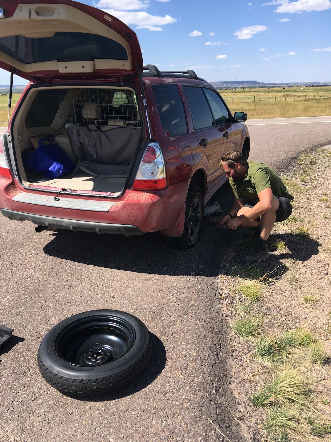
We drove out the dirt roads totally fine, and as soon as I hit pavement I get a flat tire! UGH! I hit a bolt that went right through my tire completely popping it. I drove on my donut tire 45 minutes to Evanston, WY so I could get a new tire put on at Walmart. Thankfully they were open Labor Day! It’s always an adventure….
Trail Map
My track via Gaia GPS – the best tracking app! Get your app here for a discount.
Nearby Hike
Backpacking to Dead Horse Lake, Uintas

Save me on Pinterest!
