
About
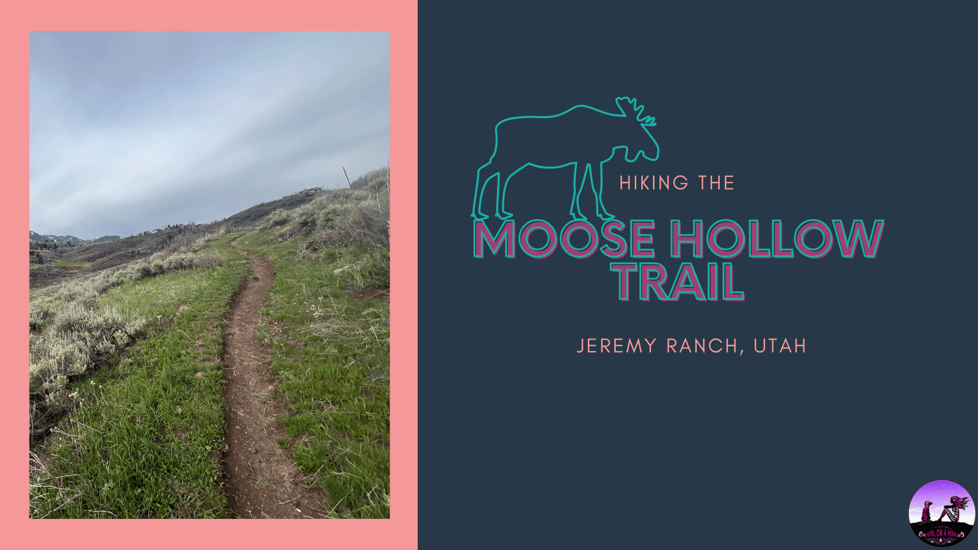
The Moose Hollow Trail is a safe, dog-friendly hike with no avalanche danger and several scenic overlooks. It’s never too steep and creates a beautiful loop. Summer brings heavy mountain bike traffic, so winter is the best season to hike with dogs to avoid crowded trails and potential collisions. This would be a great trail run as well. There are sections where technically, dogs are supposed to be on-leash, so be aware of signs.
Directions
From SLC, head East on I-80 through Parley’s Canyon. Take exit 141 for Jeremy Ranch and turn left. Turn left at the first stop sign. At the round-a-bout, take the first right onto Jeremy Road. Drive 1 mile and park along the road. If you reach the winter gate, you’ve gone too far. The trail starts on the left (West) side of the road just past a house. Parking is right along the road. Here’s a driving map.
Trail Info
Distance: 6 miles RT (to the overlook)
Elevation gain: 1,245 ft
Time: 3-5 hours
(depends on how much snow there is and what season you go)
Dog friendly?Yes, on leash (but can be off leash with an eCollar in Summit county)
Kid friendly? Yes
Fees/Permits? None
Hiking the Moose Hollow Trail: What to Expect

The Moose Hollow Trail is managed by Basin Recreation, and therefore the trail is really well managed and marked. They do an excellent job at keeping trails clean and available for the public. The trail immediately heads uphill and does one switchback.

We all kept an eye out for moose on this trail, but we never actually saw any!<

At 1 mile you will cross the first of two roads. Leash your dog to cross. The trail picks up to the left of the private gate.

Continue on the Moose Hollow Trail. Dogs can now be off leash.

Hike up a few switchbacks.
 At this point, the trail becomes ‘The Avenues’—not to be confused with Salt Lake City’s Avenues neighborhood and the hike, The Avenues Twin Peaks. Stay left.

On your right you will now see the sign for Switch Back Trail – take this and it will head up further into the hills.
This will be the start of the loop, if hiking it counterclockwise.
 The trail cuts through more trees and also begins to leave the neighborhood area, and becomes prettier.

You’ll see one more Switch Back Trail post; keep left. And in another 50 yards turn left again. There are other signs that say private property – you can’t really get lost.

Take another left. As you can see, everything is really well signed for this trail.

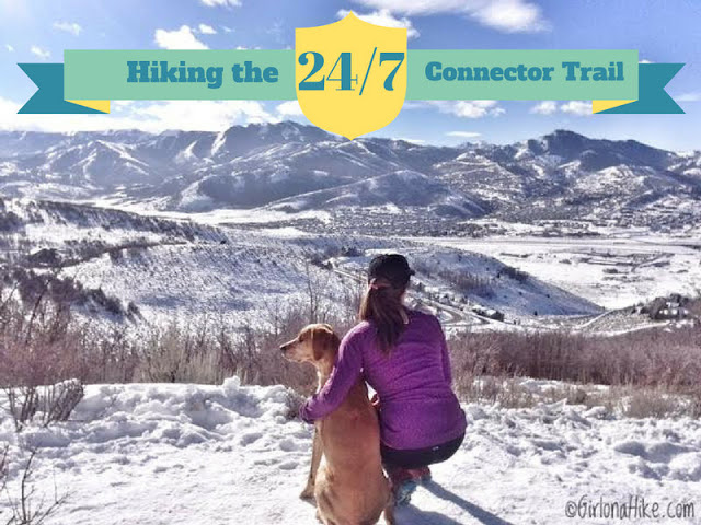
The views start to open more and you’ll have a great view of Summit Park Peak most of this hike.

After what feels like you may have missed a trail split, you’ll arrive at a “T”. If you go left you will create the loop. However, I like to hike up and to the right to the dead end if I have extra time.

The “end” is when you reach the large open meadow with a great view of the surrounding area.
Back on the Loop

To continue on the loop, go back to the “Dead End” trail sign and stay left (West) where the “T” was.

The loop will connect you back down to the upper road section. Stay left again here until you see the Moose Hollow sign. This will put you back on the road you were on before, about 0.2 miles west of the the trail split for The Switchback Trail. You will now have completed the loop – head back down the same way you hiked up. This is such a great, easy trail run back down!
Trail Map
My track via Gaia GPS – the best tracking app! Get your app here for a discount.
Note: The “Dead end” overlook is not shown on this map.
Nearby Hike

Save me on Pinterest!