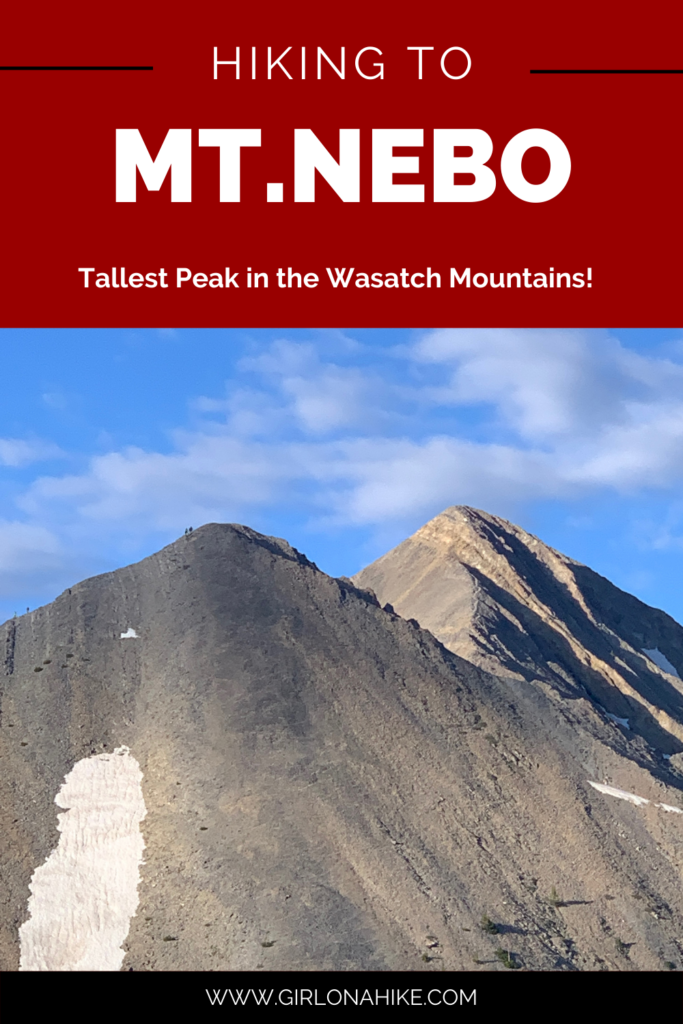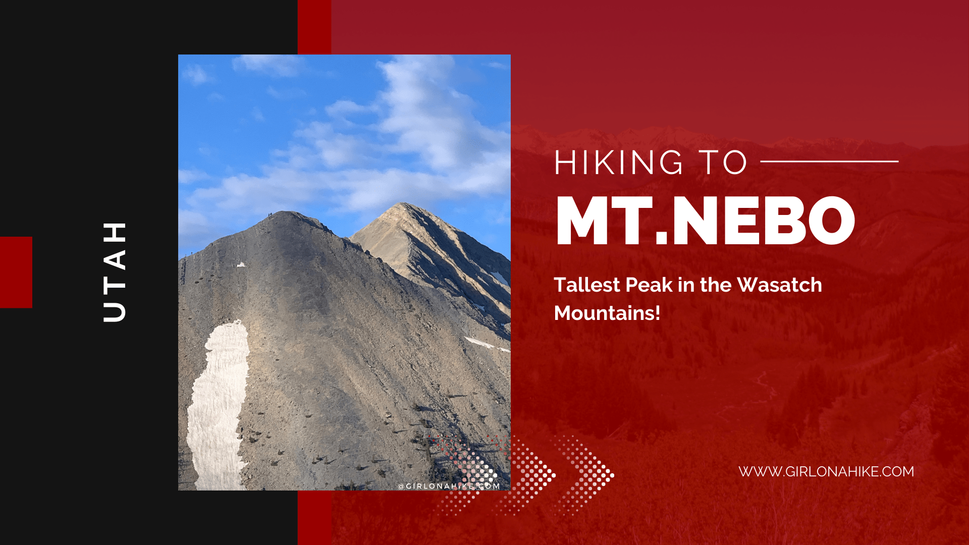
Mt. Nebo (11,929 ft) is the highest peak in the Wasatch Mountains. and Utah County. Mt. Nebo actually has two summits, the north and south, with the North being the higher of the two.
About
Mt.Nebo is a popular hike, so the trail is well maintained and easy to follow. Around 9,000 ft a bench trail runs level North to South, as it reaches Wolf Pass. From there, the trail steadily climbs to a false summit, before reaching the ridge that leads to the true summit. This is a strenuous, yet very rewarding hike, as you can see for several miles around.
The main reason I’ve been wanting to do Nebo is the fact that it is the tallest peak in the Wasatch Mountains, at 11,929 ft. It beats out Mt. Timpanogos by about 200 ft, yet it is way more popular than Nebo. Why? Not sure. It’s a shorter distance than Timp (as the locals call it), but could be that it is a further drive for most, and steeper compared to Timp. I’ve heard people proudly announce they’ve hiked Timp 10 times! And, I’m like “why?”. Enough with my rant on Timp vs Nebo. Let’s move on.
Directions
From SLC, drive south on I-15 towards Payson, UT, and take exit 250 for Main St. At the first light, turn Left onto E 100 N. At the next light, turn right onto the Nebo Loop Road. There are brown signs pointing you in the right direction. Once you turn onto the Nebo Loop Road, drive about 25 miles to the signed, Monument Trail head parking area. As soon as you turn into the lot, turn right onto Mona Drive, and park at the end of this road. Here is a driving map. You can also type in “Mount Nebo / North Peak Trailhead” into Google Maps and it should pop up.
Trail Info
Distance: 9 miles round trip
Elevation gain: 3,000 ft
Time: 5-8 hours
Dog friendly? Yes, off leash
Kid friendly? No
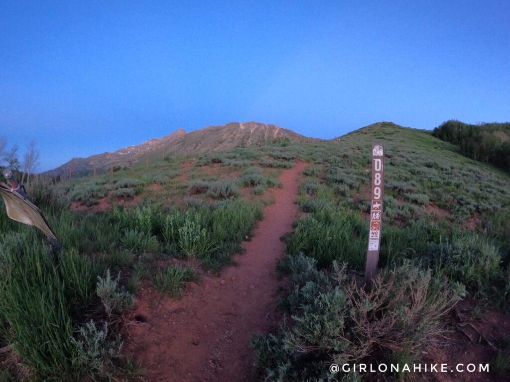
The Mt.Nebo trailhead/parking lot is always full by 6am on weekends. Some people even start super early, like 4am.
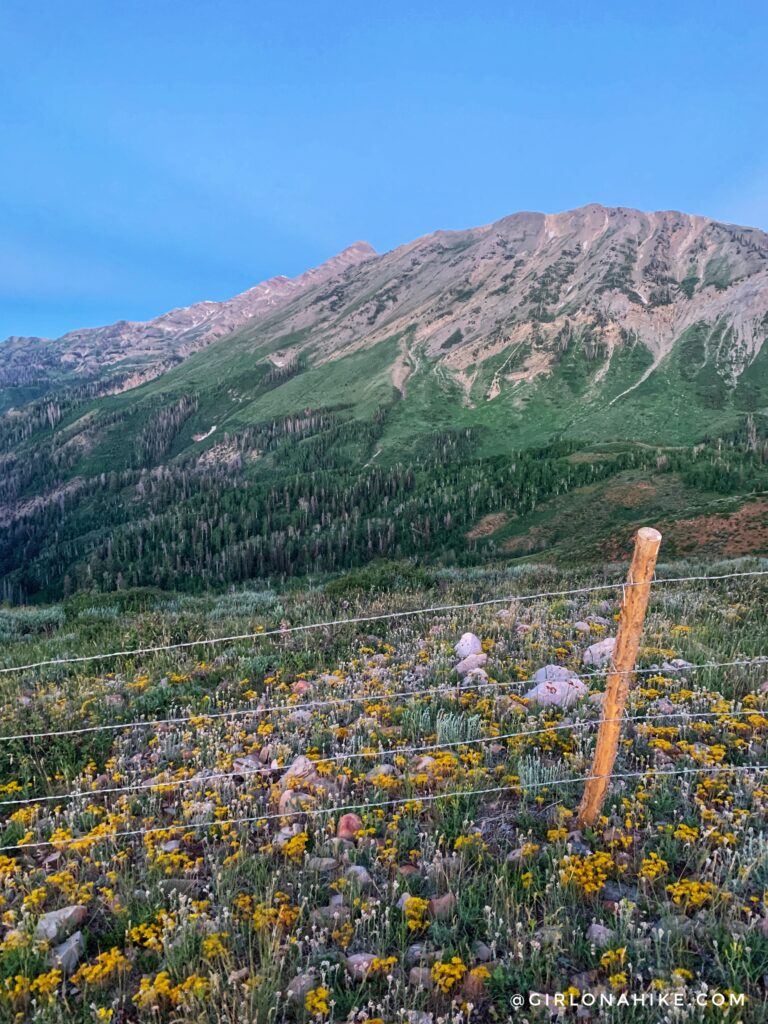
Keep walking along the cattle fence. This 1st mile is the easiest, and very gradual.
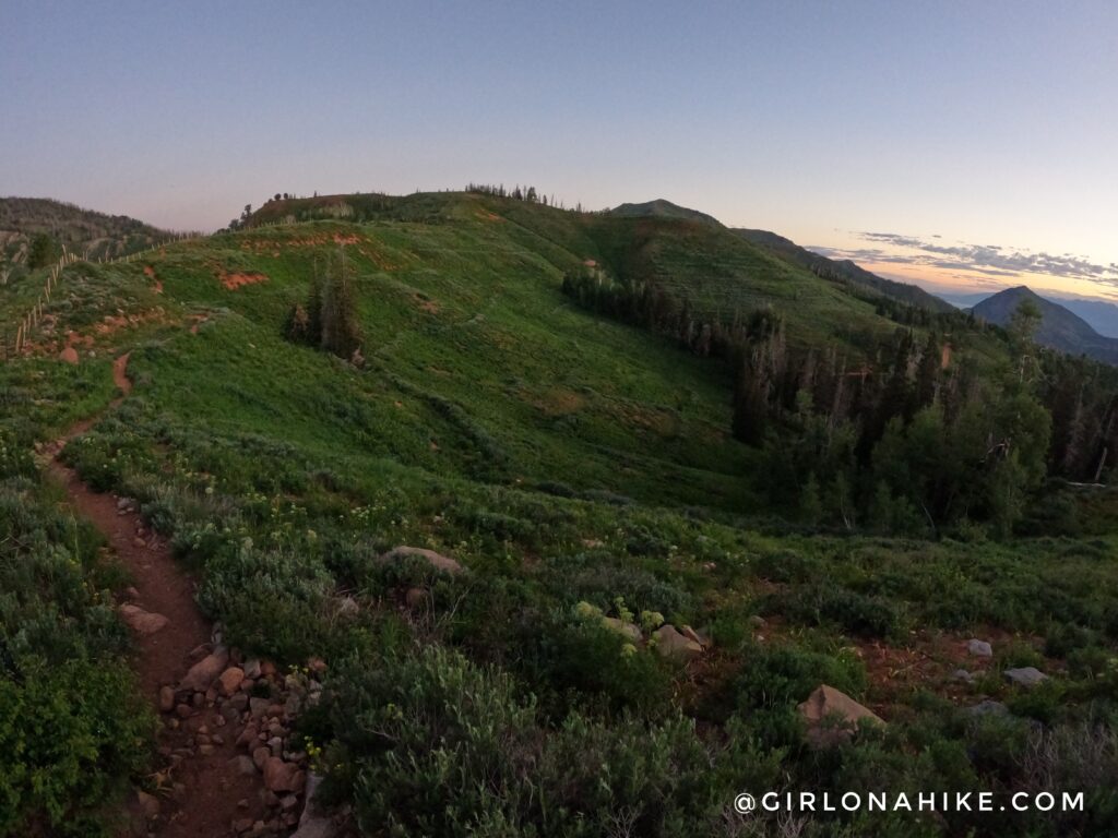
In July the trail is very green! I started hiking at 5:40am to beat the heat (and people!).
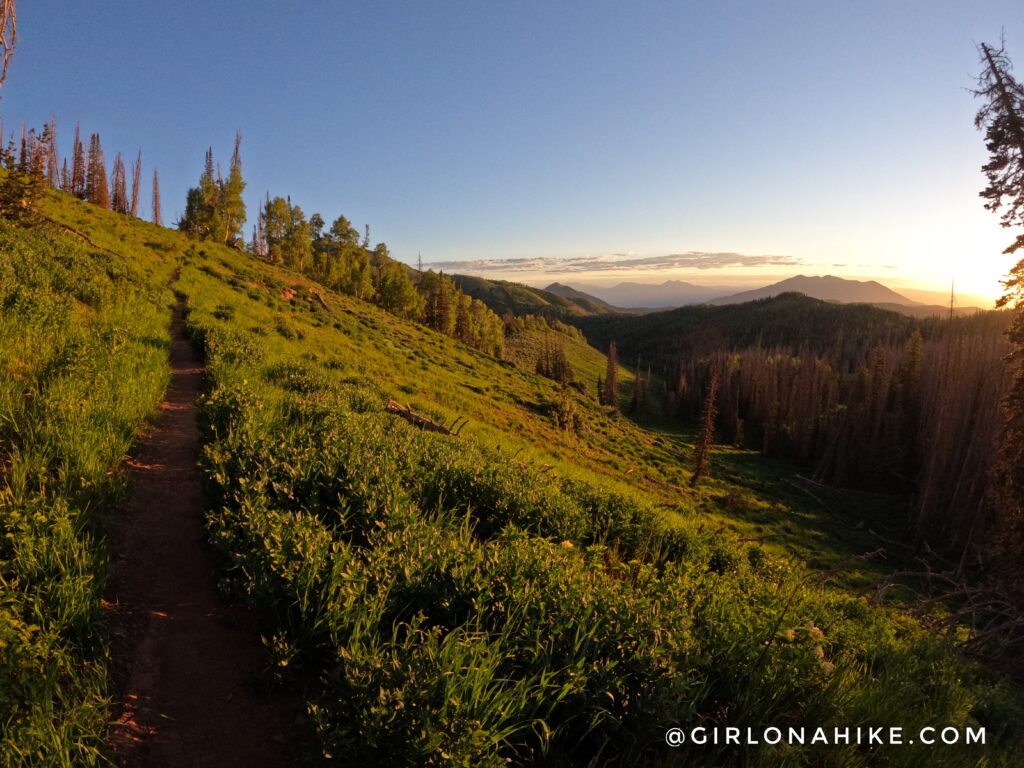
Such pretty morning light. You will hike through a forested area for a few minutes.
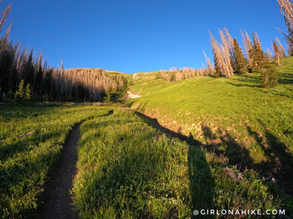
Work your way up, and through this meadow. This is where the trail really starts to get hard, once you reach the ridge where the bunch of trees are in the upper right corner of this photo.
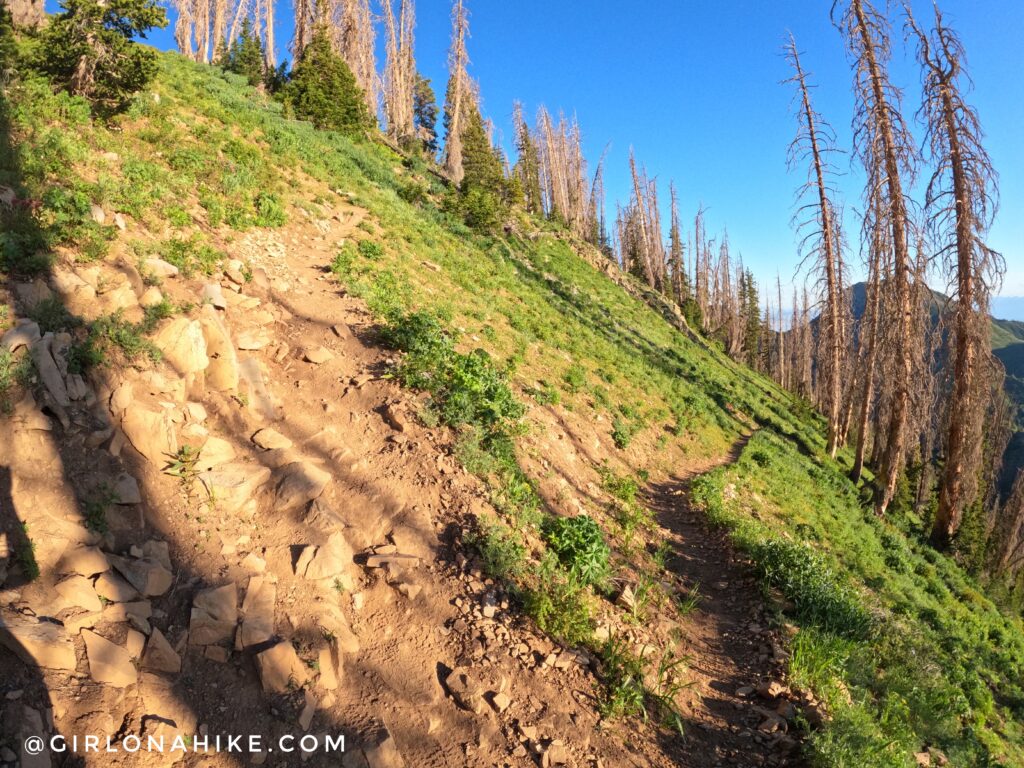
As you get close to the first low saddle, you will work up a few short but steep switchbacks. Once on the saddle, turn left.
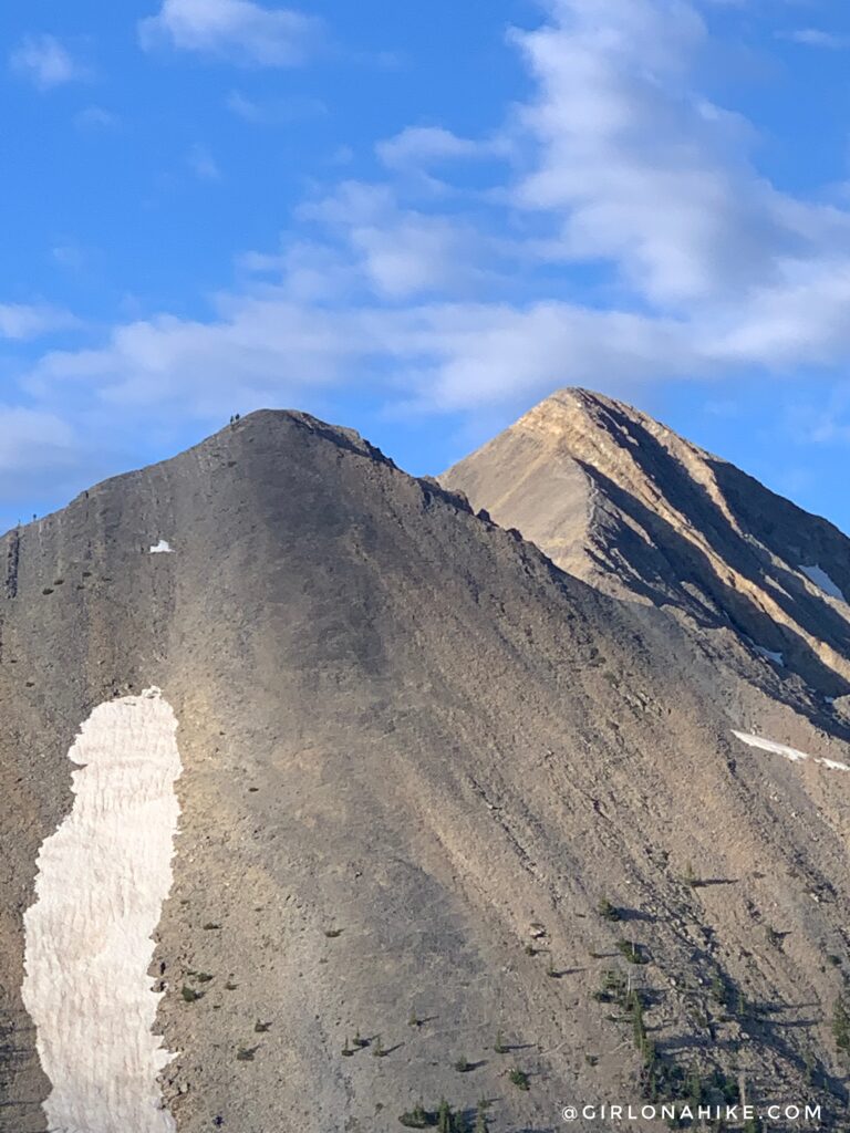
As you make your way towards Wolf Pass, you will have a great view of the false summit – I was surprised to see people on their way down already.
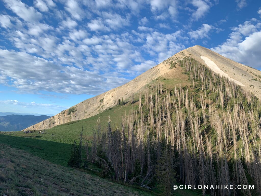
Approaching Wolf Pass. This is a great spot to take a snack break, and prepare yourself for climbing to the false peak.
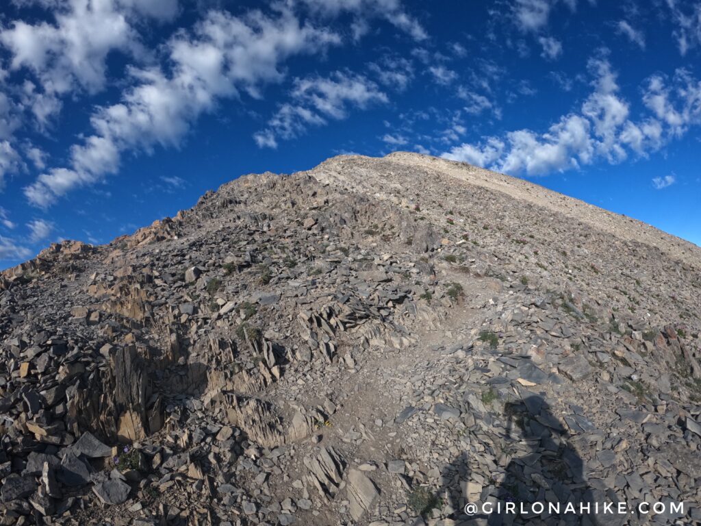
This is how steep hiking up to the false peak it was. I’m not gonna lie – this part of the trail was super challenging! Take your time, and you can do it.
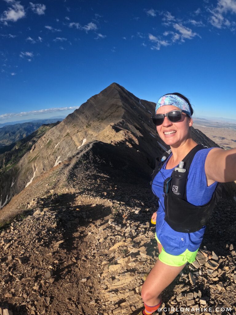
On the false peak, I took a short 5 minute break to enjoy the view of what is to come – the best part! Mt.Nebo here I come.
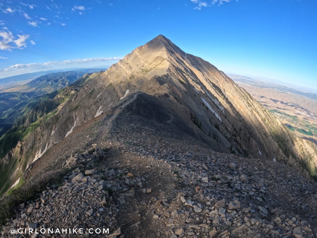
The photos make it look worse than it really is. I highly recommend to stay high on the ridge – don’t be fooled by the trails that drop down. You’ll expend all your energy climbing right back up to the ridge.
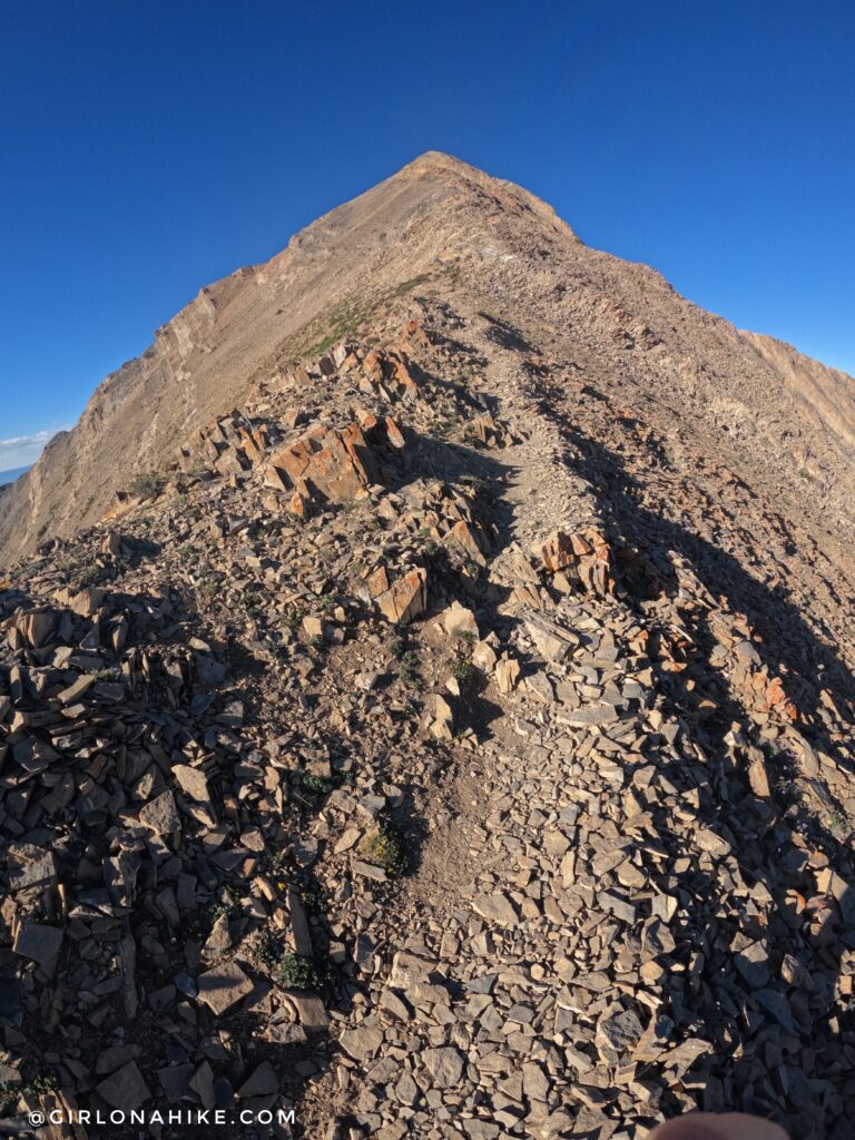
This ridge scares a lot of people, however the trail is really well defined & traveled.
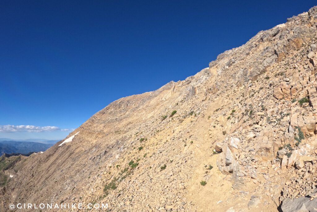
Almost there!
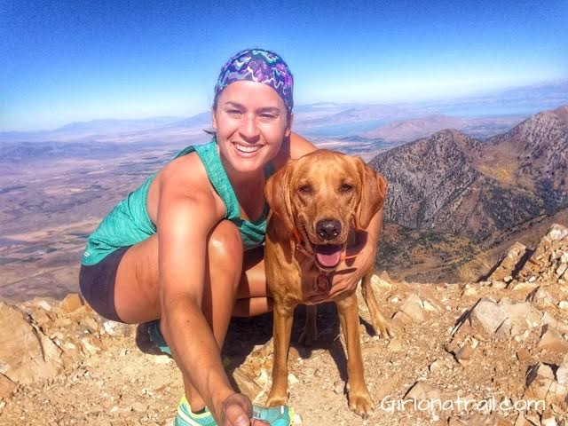
My first time on Mt.Nebo with Charlie in 2015 (he was only 2 years old!). Charlie did such a good job!
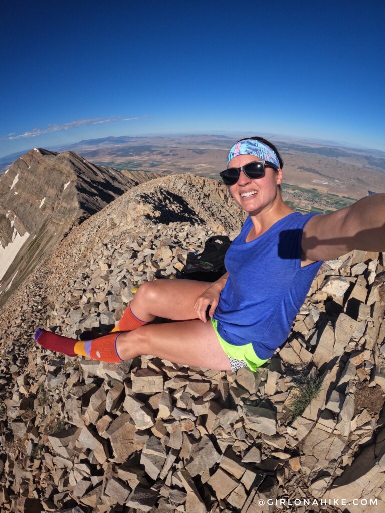
Second time on Mt.Nebo woot woot! I love hiking up the ridge to the summit, it’s so fun!
I highly recommend wearing compression socks – they will save your legs and help you recover much faster!
Get 10% off entire order from Lily Trotters compression socks, use the code “girlonahike” at checkout
Watch my video!
Trail Map
My track via Gaia GPS – the best tracking app! Get your app here for a discount.
Recommended Hikes
Utah’s Ultra Prominent Peaks!

Save me on Pinterest!
