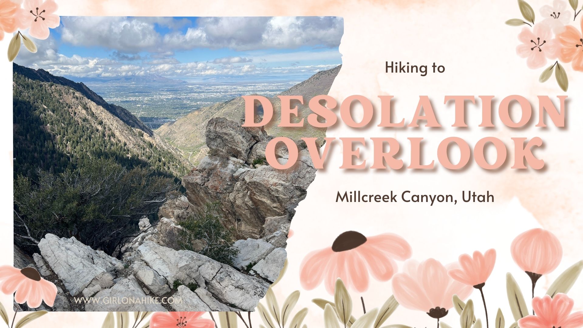

Desolation Overlook is a popular trail located in Millcreek Canyon that can be hiked year round. I love taking the dogs up here for a great view of the canyon and valley in the distance. The trail is on the north slope, so it is very shaded, and in winter, can be very icy. Be sure to wear microspikes in Winter to keep from falling. The trail makes its way up the side of the mountain using long switchbacks. This trail is accessible year-round, with my favorite being Fall.
Directions
From SLC get on I-215, and take exit 4 for 3900 S Wasatch Blvd. Veer left, then take a left at the first light (Wasatch Blvd). At the next light, turn right on Millcreek Canyon Road. Drive 3.2 miles up the canyon, and just past the Millcreek Inn, park in the South Box Elder parking lot. Keep in mind that Millcreek Canyon charges a $3 fee per car on the way out. You can also get an annual pass for $40.
Here’s a driving map from SLC.
Trail Info
Distance: 4.5 miles round trip
Elevation gain: 1300 ft
Time: 3-4 hours
Dog friendly? Yes off leash on ODD days
Kid friendly? Yes
Fees/Permits? There is a $5 fee upon exit, or FREE if you buy the Annual Millcreek Pass ($50). Millcreek Canyon does NOT accept the National Park Pass, American Fork Pass, nor the Mirror Lake Highway pass. No permit is required to hike this trail.
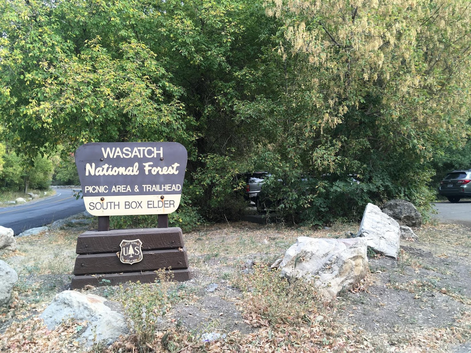
South Box Elder Parking lot.

Here is the TH sign. There is a restroom at the TH but it may be closed in winter.

This is a popular TH for several trails. This trail is often called “Salt Lake Valley Overlook” as well.

Follow the long switch backs up, up, and up!

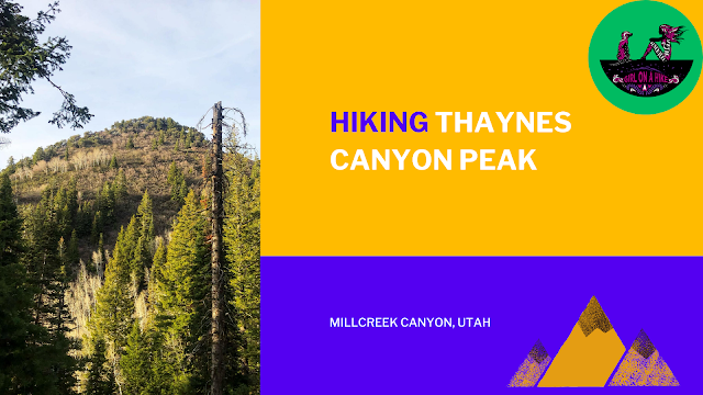
A few times you hike South you will get a nice view of Thaynes Peak – that’s a tough hike!

Many people miss this trail split. The forest service has recently put up a new sign, pointing right for Desolation Overlook.
You will need to climb up this rock, making a sharp turn to the right (north).

On the way up the switchbacks, you will have fantastic views of Millcreek Canyon, and the Pipeline Trail across the way. Lizzie and Leo lead the way!

More switchbacks…

Even in April or May you will find patches of snow. Leo was happy to have a snack!

Finally, we reach the overlook with the large rock outcropping looking out to SLC.

It is fun to climb out to the rocks and explore a little, just be careful of steep dropoffs.

What a gorgeous day! I love this hike.
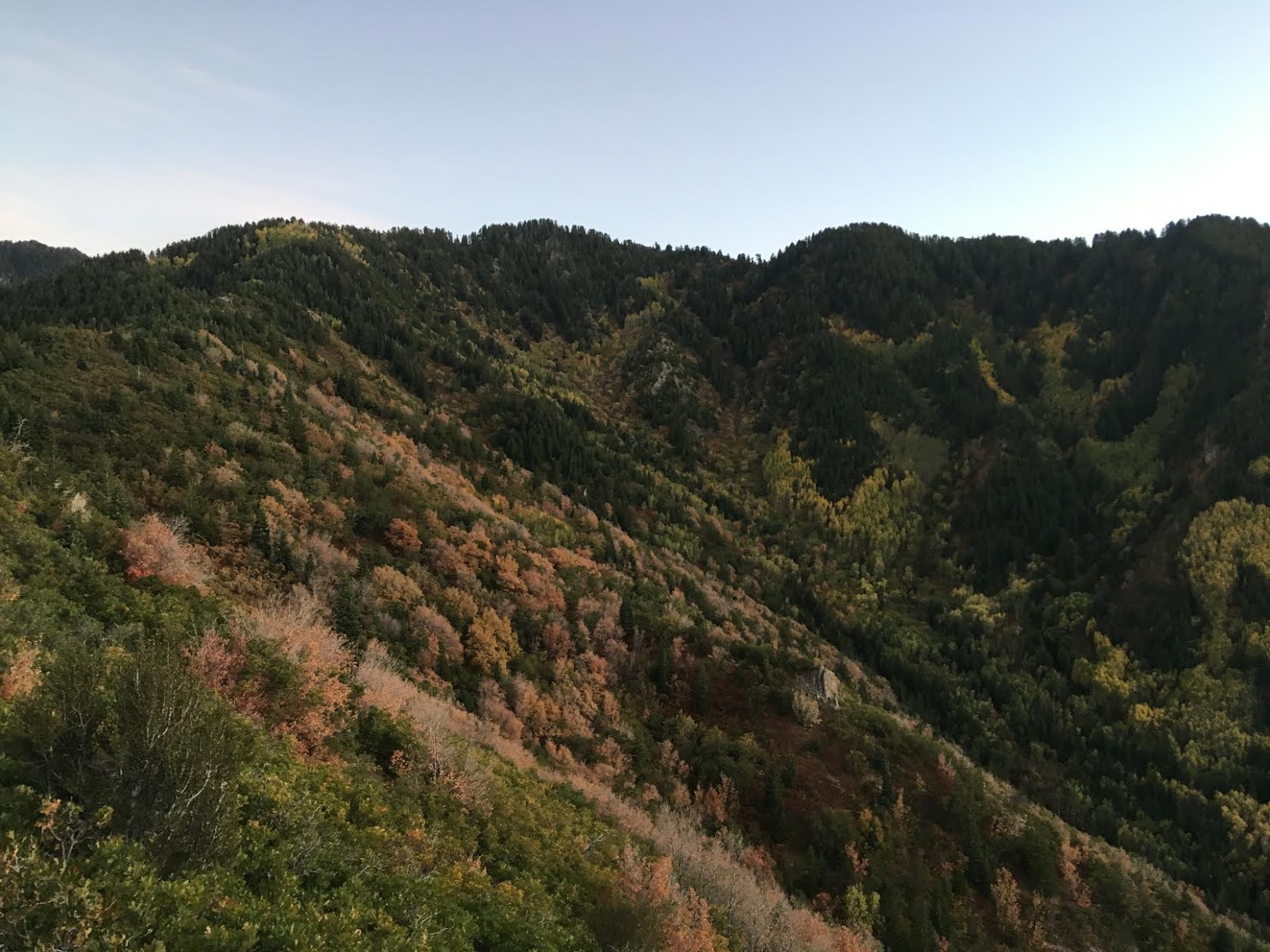
Looking south from the overlook.
Trail Map
My track via Gaia GPS – the best tracking app! Get your app here for a discount.
Nearby Hike

Save me on Pinterest!


