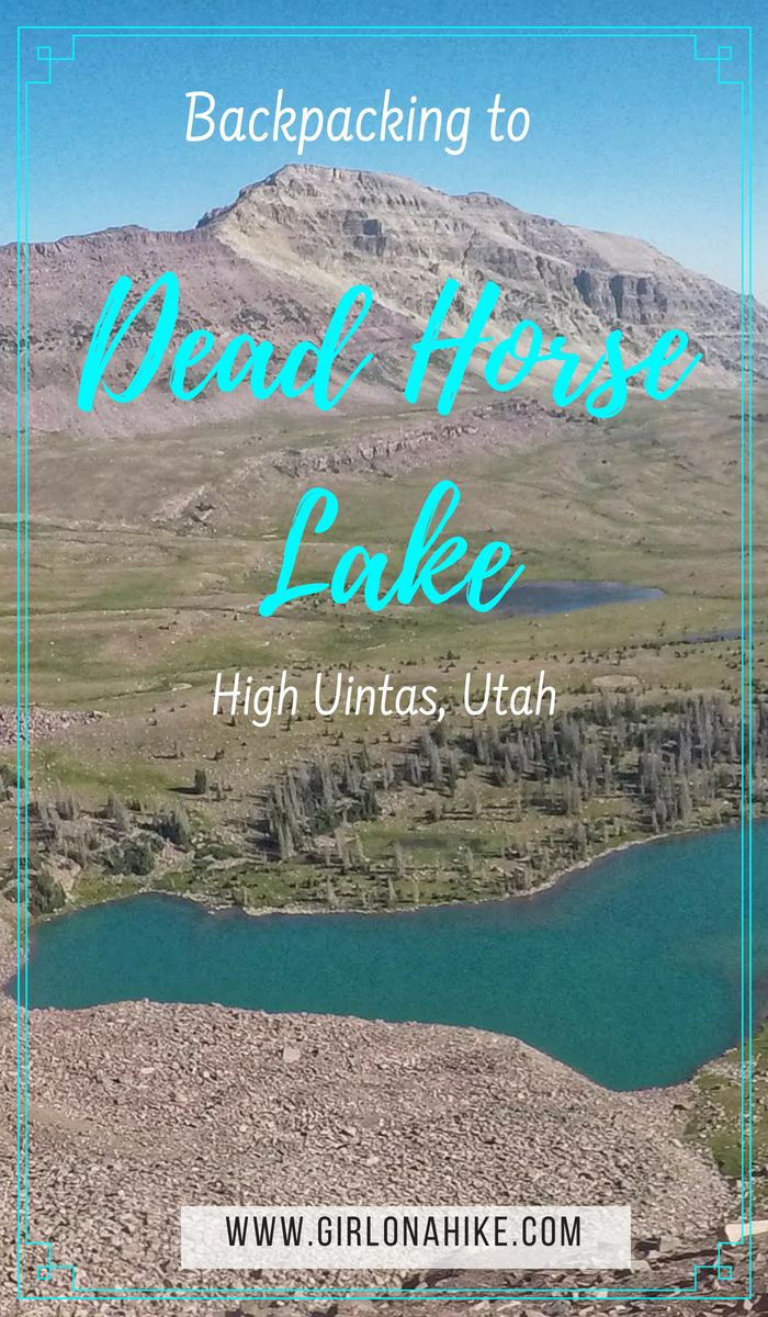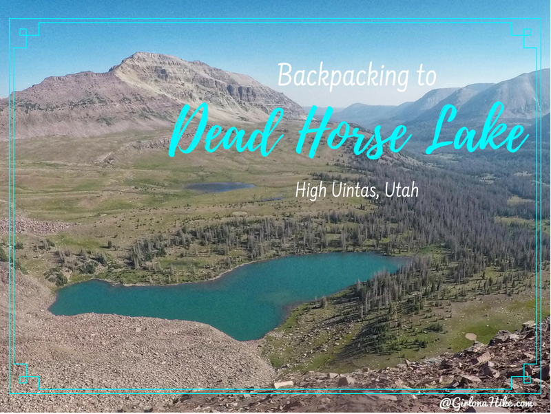

Dead Horse Lake is in the High Uintas Wilderness, and offers an 11 mile hike through large, open meadows, stunning vistas, and of course, leads you to a turquoise lake. This lake offers a great spot for fishing and day hiking. People hiking the Uinta Highline Trail also pass right by Dead Horse Lake. It’s a dog friendly trail, though you’ll want to give the sheep herds passing by in the meadows plenty of space. Bring your hammock or tent – there are several nice campsites around the lake and plenty of trees for shade. Be sure to check fire restrictions before heading out.
Directions
From SLC, head East on I-80 towards Park City, then South on HWY 40. Take exit 4 towards Kamas, UT. Once in Kamas, UT turn left at the first stop light (HWY 32), then right at the next stop light for Mirror Lake Highway. Drive along the Mirror Lake Highway until you reach mile post 48. Turn right on HWY 58, which turns into a well-graded dirt road. Reset your odometer as soon as you turn. Drive 16.5 miles until you reach a 4-way. Turn right here onto FR063.
This is where I will suggest that if you have a small, compact car to jump in your friends SUV or larger. Past this point small cars will have a hard time getting to the trailhead. It’s best to drive in a larger car from here. Stay on FR063 for 5.3 miles, until you reach the ford. SUVs will need to park off to the left and begin hiking here. If you have a truck (or 4Runner/FJ/etc) you might be able to cross the ford depending on water levels. Have someone walk through the water to see how deep it will be – when we went it was knee deep water for me (roughly 1.5-2 ft deep). There was no way my Forester would make it across, so we started hiking from the ford. If you park here, it’s 1 mile to the official trail head (making it 11 miles one way).
Here’s a driving map.
GPS of trailhead: 40.884062, -110.670049
Trail Info
Distance: 11 miles one way
Elevation gain: 1,555 ft
Time: 4-6 hours
Dog friendly? Yes, off leash
Kid friendly? No, due to distance
Fees/Permits? There is a $6 fee for a 3 day pass. It’s free if you have an annual Mirror Lake Hwy, American Fork Canyon pass, or annual National Park Pass. No permit is required. The pass can be picked up at the Bear River Ranger Station, or as soon as you turn onto the dirt road leading to the trailhead for Dead Horse Lake.
Day 1

This is the 4-way stop along HWY 58, and where you’ll turn for the last 6 miles. Notice that a small compact car has parked off to the side, as they will have trouble making it past this point.
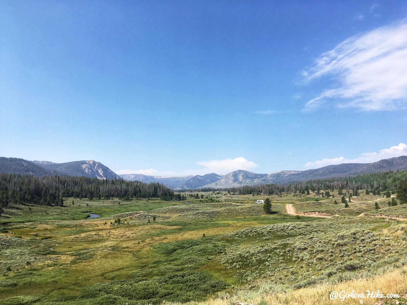
The drive is so pretty!

Stay on FR063 until you reach the ford.

We came upon a puddle. Ian scoped it out, and walked through it, and it was only ankle deep. I knew I could make it through.

We only had to drive another few minutes until we reached the ford, where I knew I wouldn’t be able to make it across. I just parked off to the left in the cleared out meadow. Make sure you display your pass in your windshield. We got our packs ready, and were off!
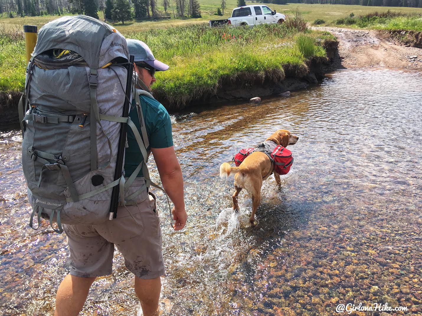
Parts of the ford were actually knee deep! It was nice to start right away in water, since it already seemed like a hot day. I actually ended up hiking in my Teva’s the entire way to the lake. There will be several mucky, muddy, and water-logged sections of trail. Ian switched back into his Altra’s and eventually they got completely soaked. So, I would recommend Teva’s or Chaco’s combined with neoprene socks.
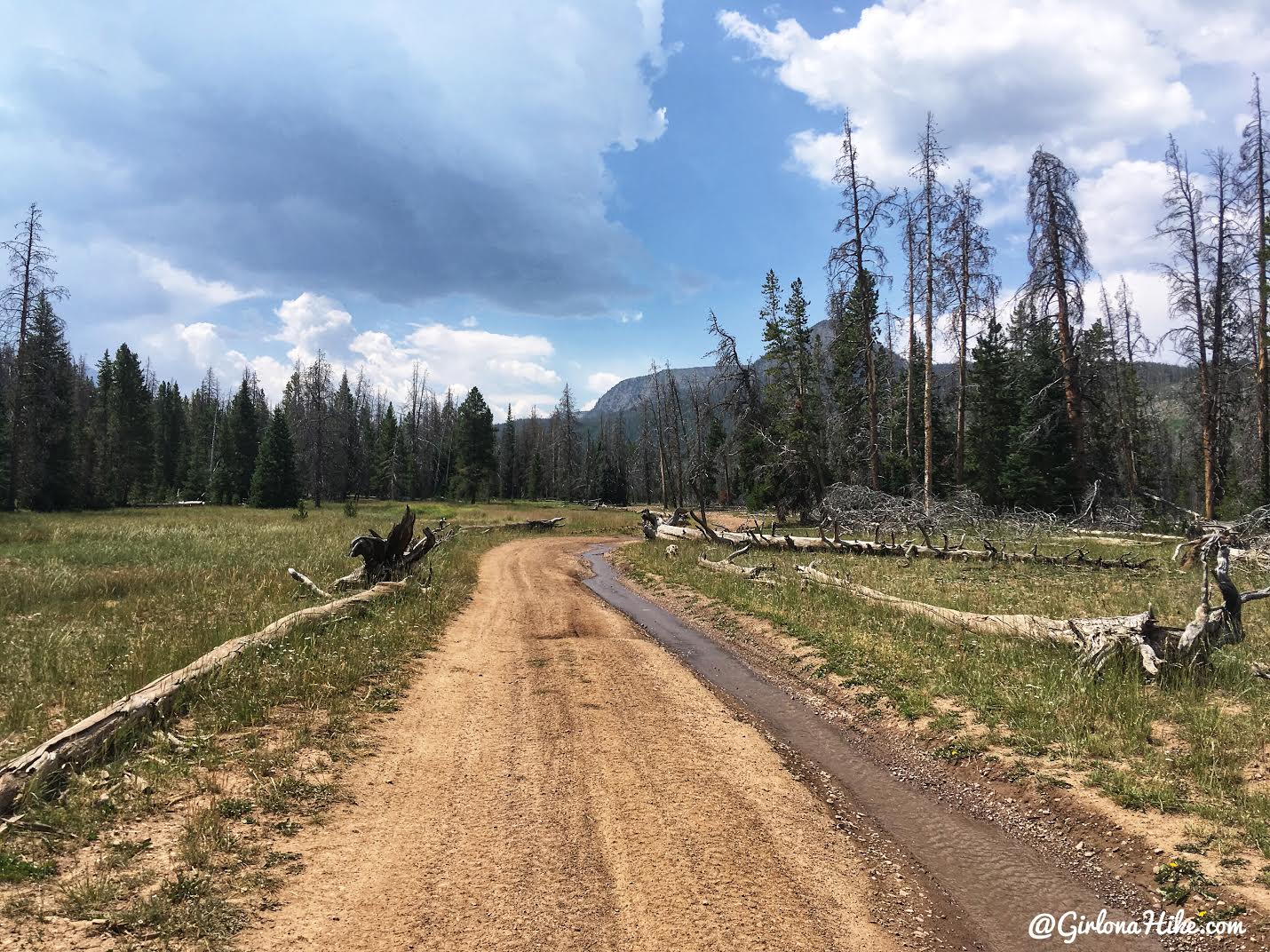
The first mile to the official trailhead is a dirt road with no shade. Be advised – lots of ATVs, Razor’s, etc will be flying by. Make sure to step off the road and keep your dogs safe here too. I couldn’t believe how fast some of them drove by us.
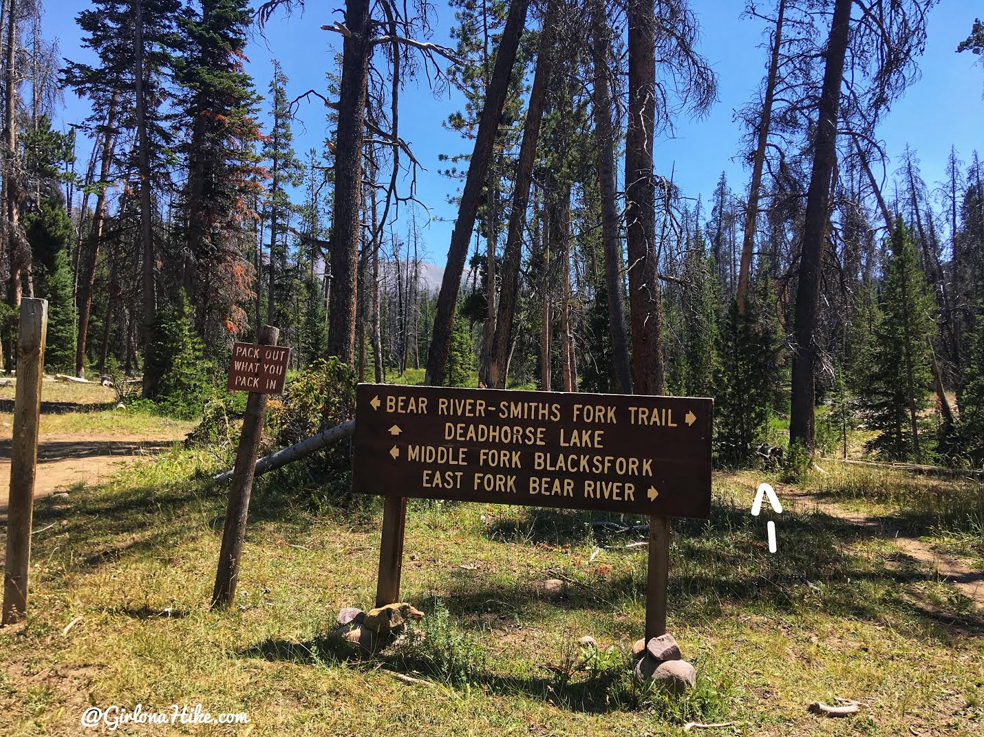
At 1 mile you’ll reach the official TH. Now the fun begins! It’s a little confusing though – the sign points straight, but there is no straight trail. Make sure you take the trail that heads south but to the right, where my arrow is. You’ll immediately be on the old jeep road again. This is the correct way.
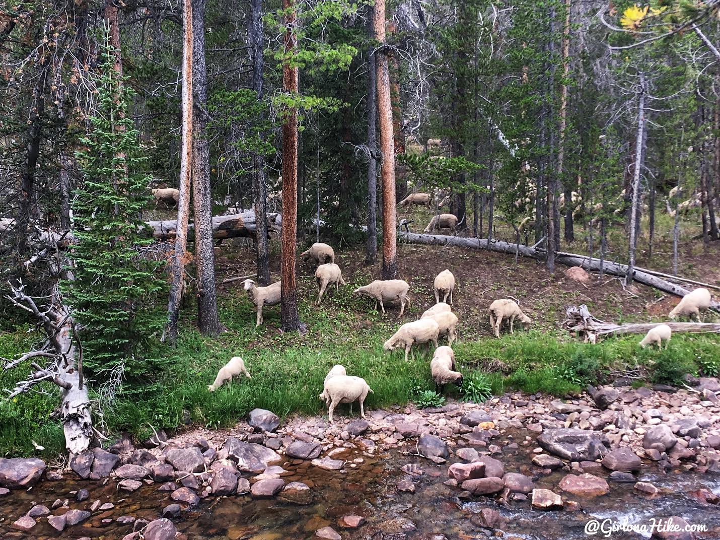
Passing by a large sheep herd! Thankfully Charlie doesn’t have a large prey drive, so he didn’t really care about them. However if you have a dog that loves to chase animals, please put them on a leash! The cowboys won’t be happy if their herd is being chased other than their own cattle dogs.
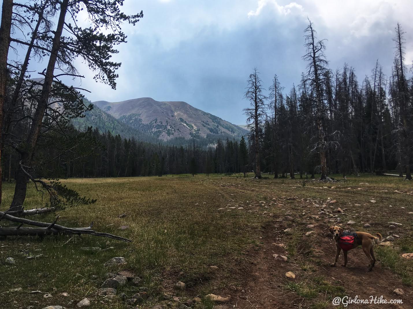
The dirt road is uneventful for 3 miles, yet eventually it starts to open and give you a partial view of the ridge to the East.
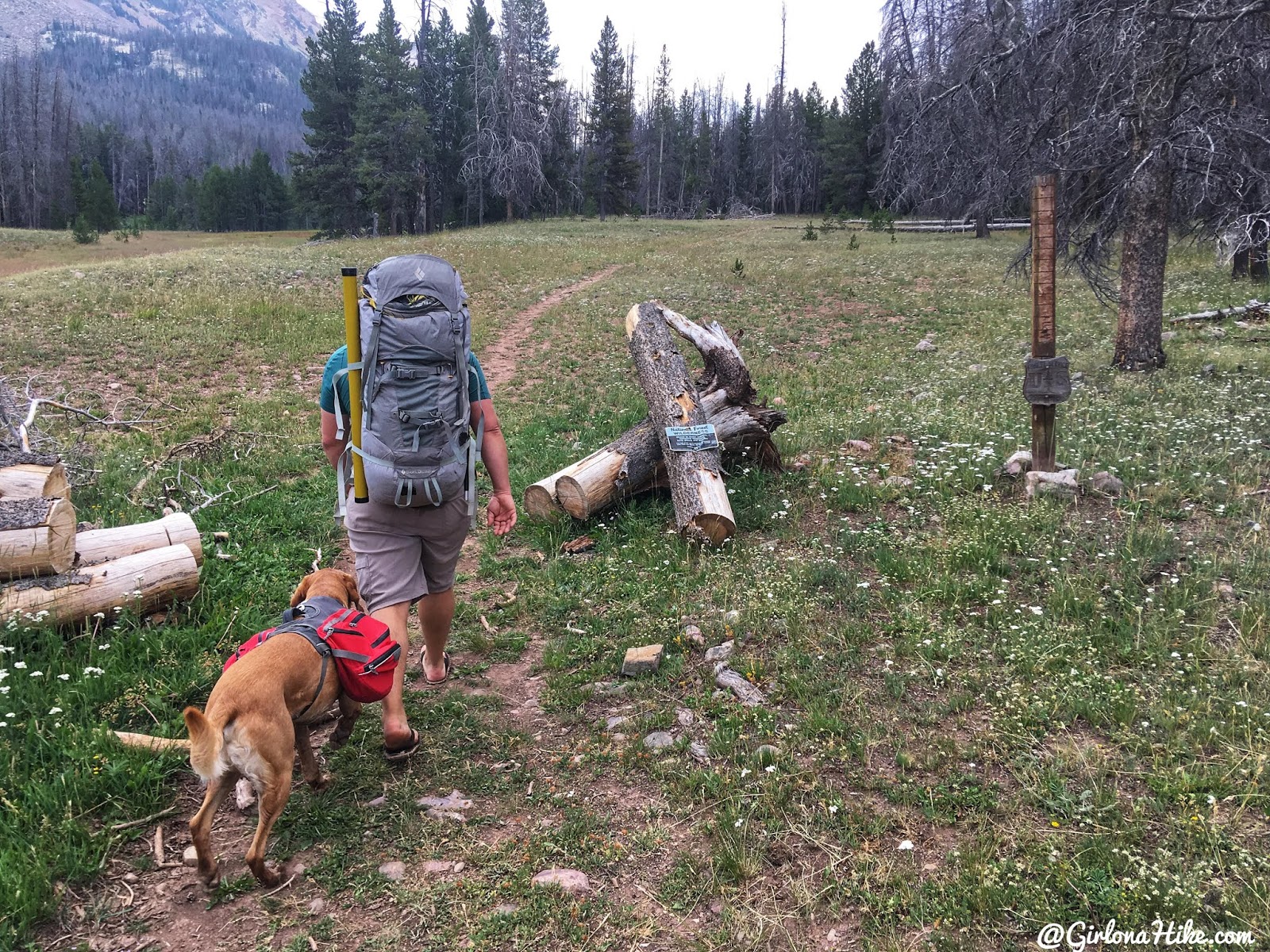
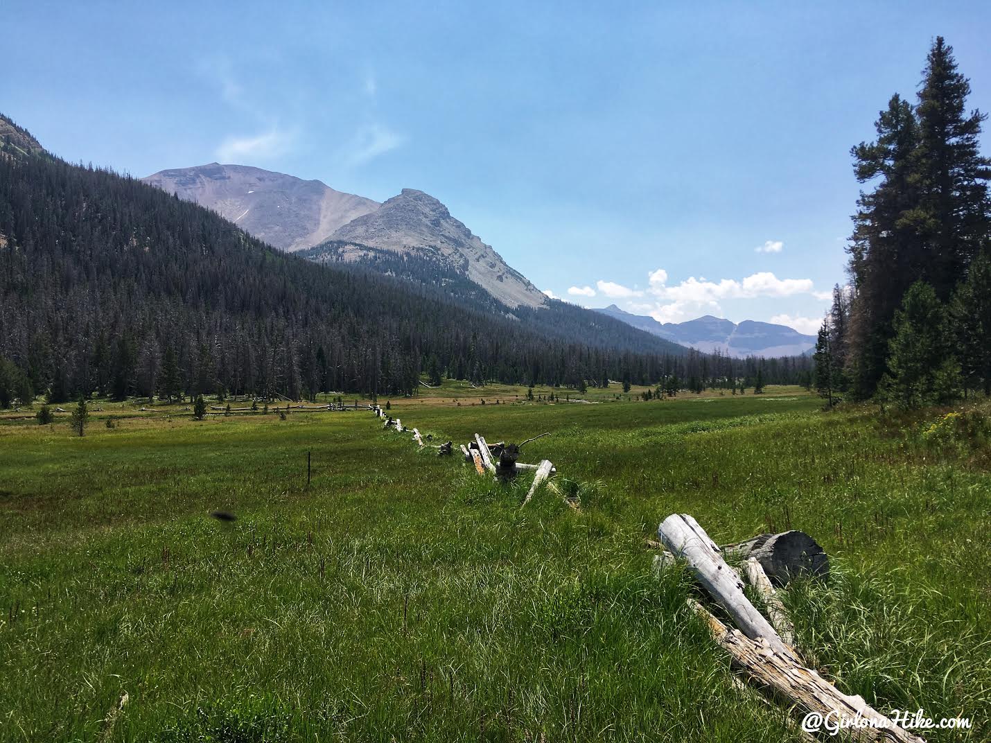
Roughly half way, mile 4.8, you’ll come to this long wooden fence in Buck Pasture. The trail actually follows this fence, cutting across the meadow, and there’s a bridge across the actual stream. If you don’t have your water shoes on yet, now is the time. This was the grossest, muddiest, and longest stretch of a water-logged trail along the way. Not sure why there is a bridge across only the stream when this entire section needs one. I didn’t even use the bridge, I wanted to walk through the stream to get all the mud out from my sandals.
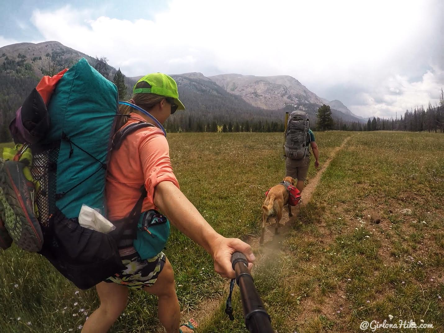
Ahh, back on dry ground. From here there’s one more small muddy section, but it’s easy hiking after that.
Check out my gear review on my Waymark Gear Co 50 Liter pack! Get 10% off your entire backpack order, use the code “GIRLONAHIKE” at checkout here!
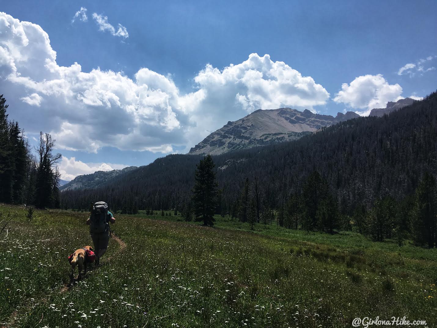
The views open up even more, and you can start to see more of the western ridge that separates Dead Horse Lake drainage from the Allsop Lake Drainage.
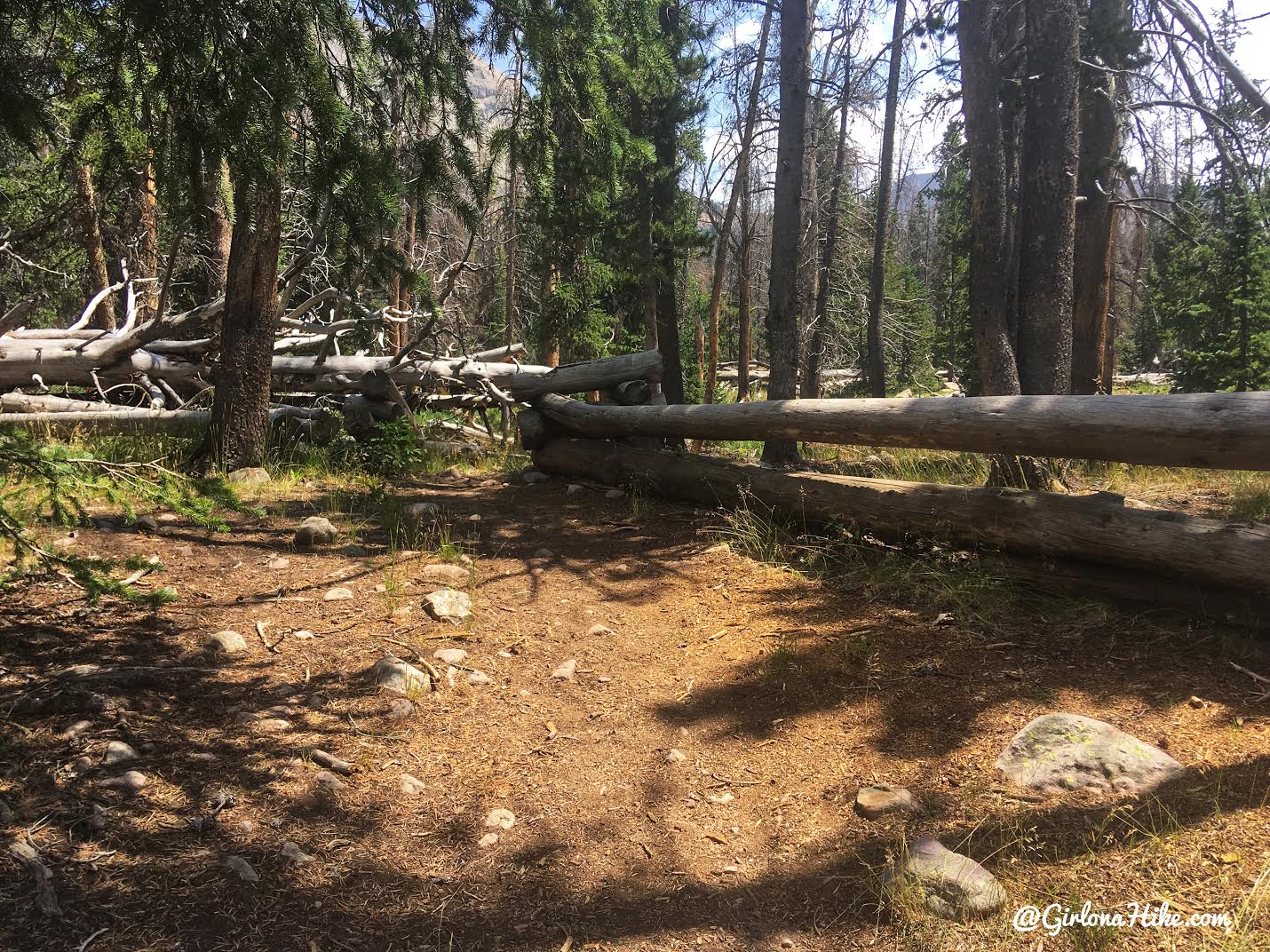
At mile 7.9 you’ll reach a second wooden fence, then cross a stream again.

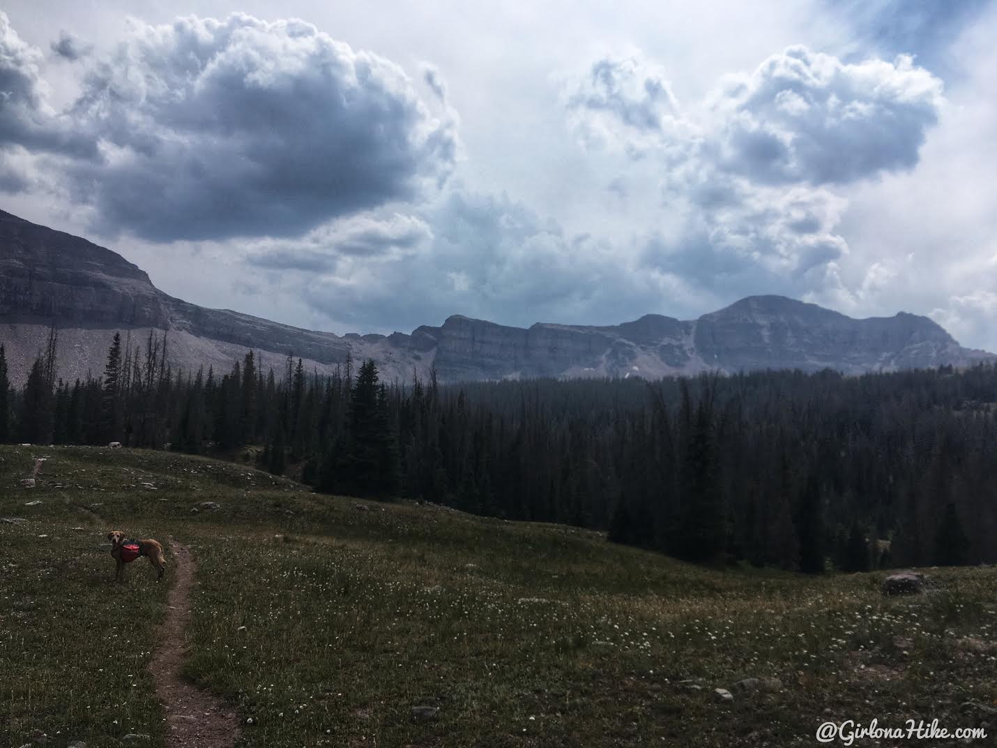
We could finally see the basin Dead Horse Lake sits below. So close now!
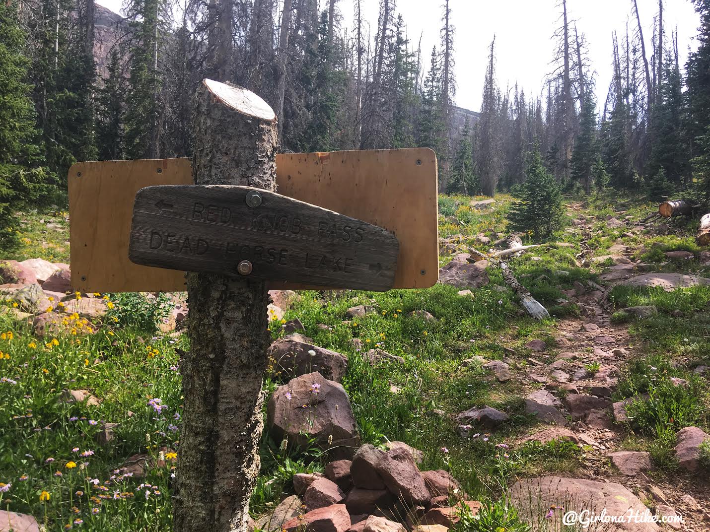
Yay, the one and only trail sign and trail split. Stay right. Left will take you to Red Knob Pass (often accessed by the Highline Trail backpackers and those wanting to summit Mt. Tokewanna).
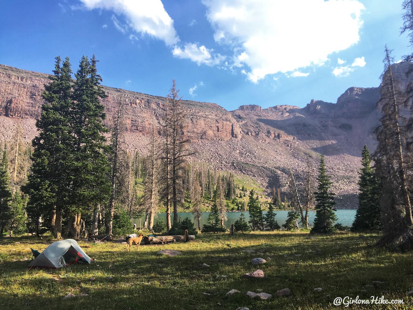
We quickly found a sweet campsite!
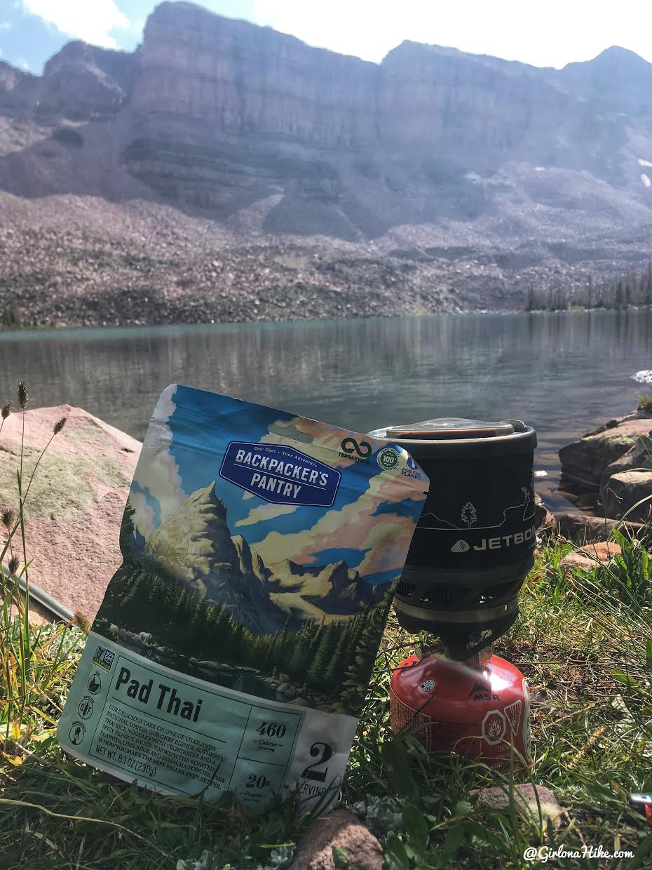
I was starving so I made dinner right away. Pad Thai is my absolute favorite backpacking meal!
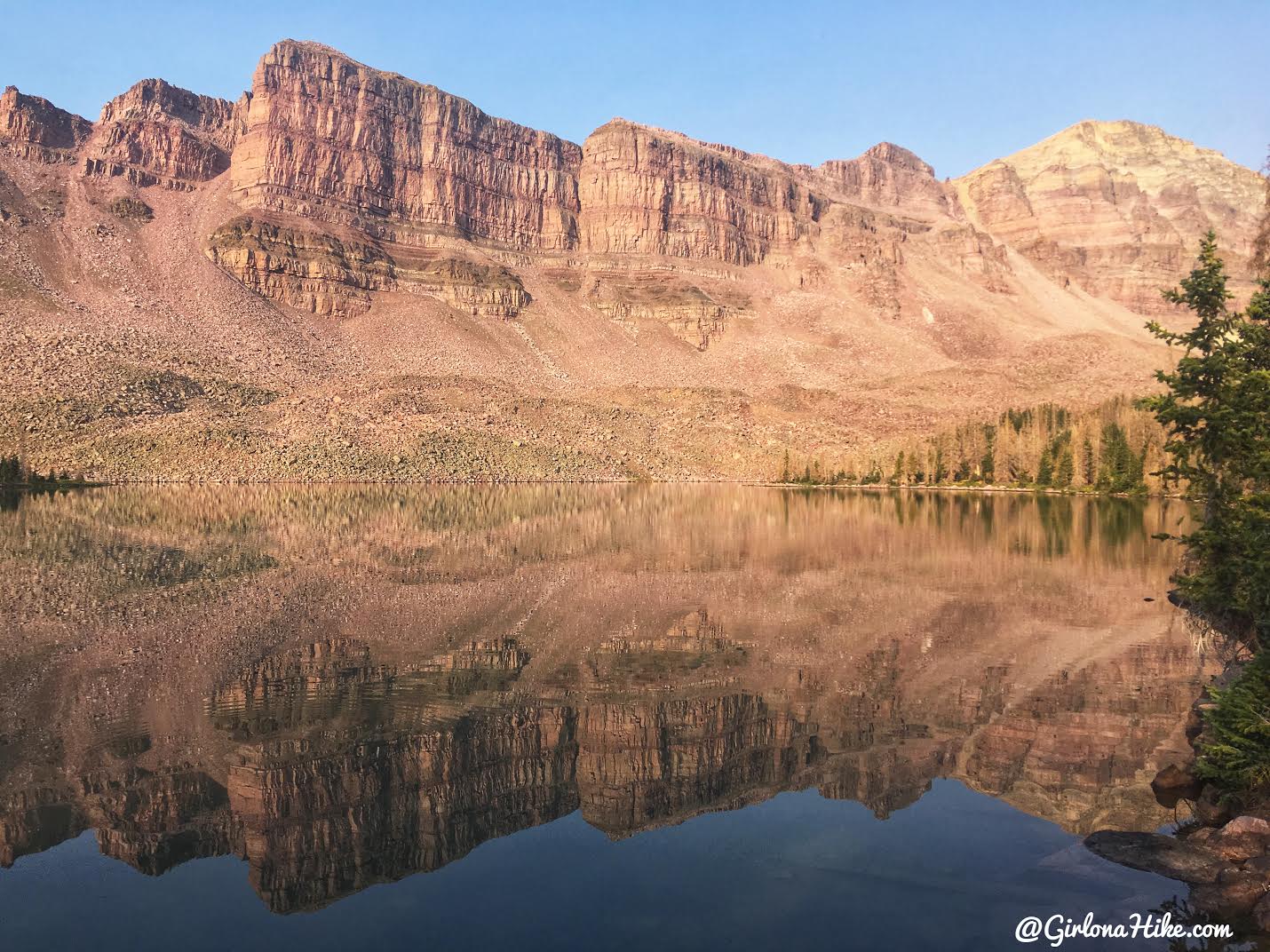
A gorgeous evening on the lake!
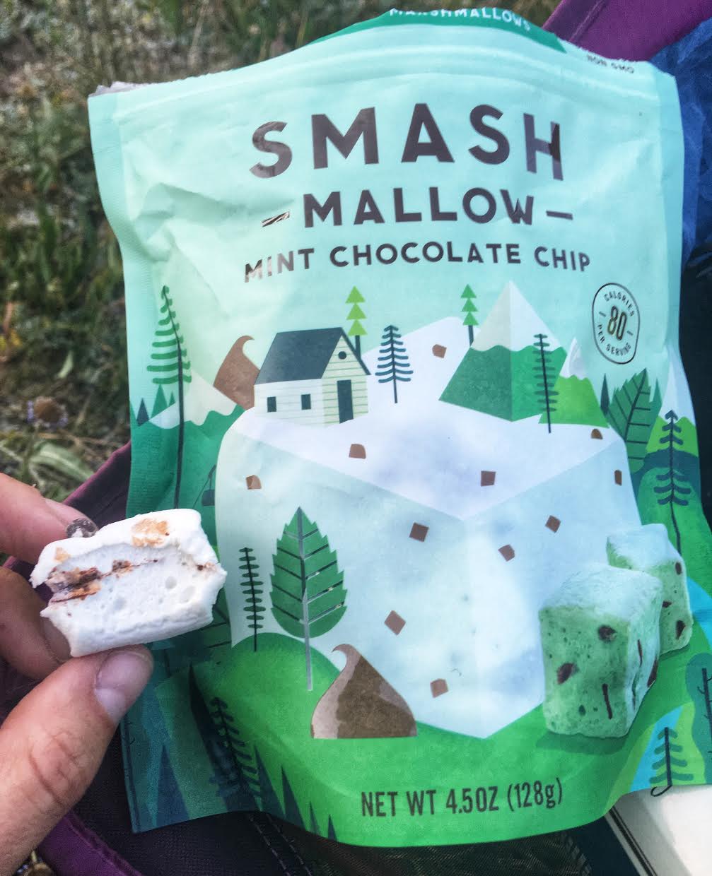
OMG, how have I not bought these before? They make the perfect lightweight, sweet treat for backpacking! I’ve always loved marshmallows but these are a step up. Plus they don’t melt! I bought them at Smith’s (I think $5-6) but Harmon’s has them as well (plus Amazon, but they are more expensive online). I ate the whole bag myself over two days haha!
Day 2
Distance: 3 miles RT
Elevation gain: 822 ft
The next morning we didn’t have any plans, we just wanted to see what we’d feel like doing. Ian was still sleeping but Charlie was ready to do something. As I was sitting at Dead Horse Lake, I was looking at the ridge to the West that separates Dead Horse from Allsop Lake. It didn’t look that far, plus I knew Ian would be asleep for another hour to two. I packed my little daypack, and starting hiking.
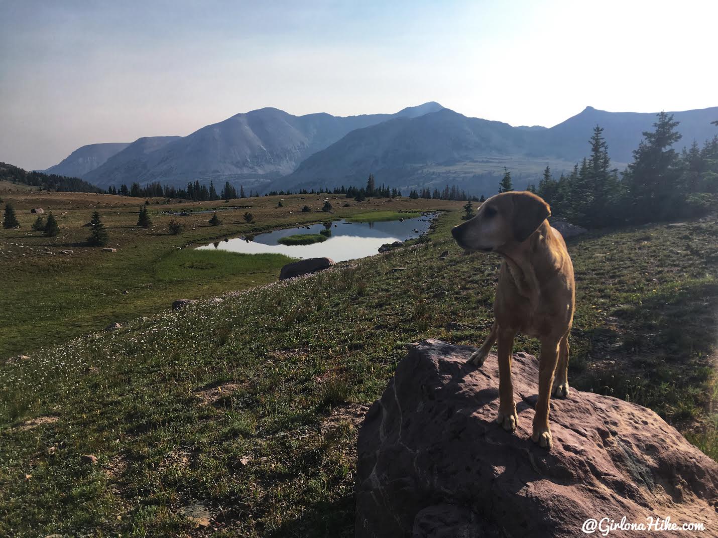
First we made our way towards Lake Ejod. What a pretty morning!
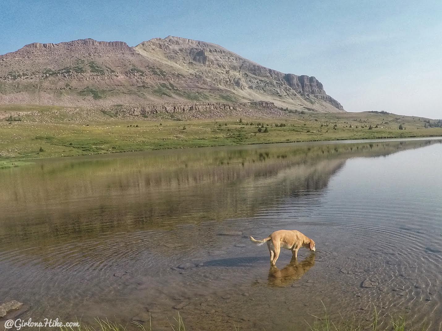
Lake Ejod was very shallow and clear.
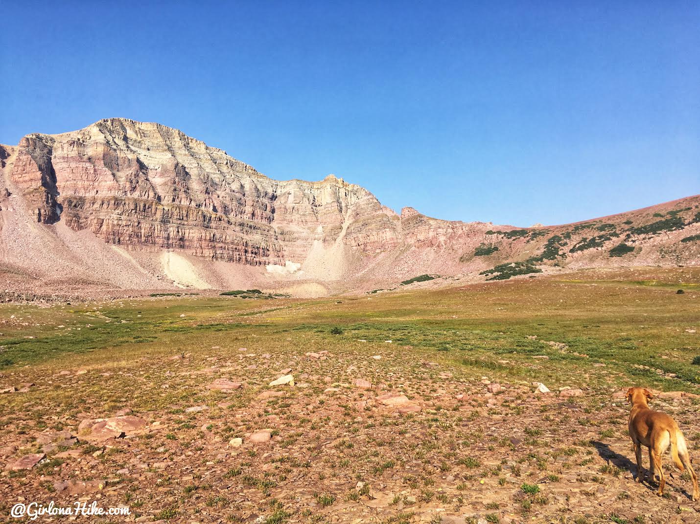
From Lake Ejod, I just aimed for the lowest part of the ridge.
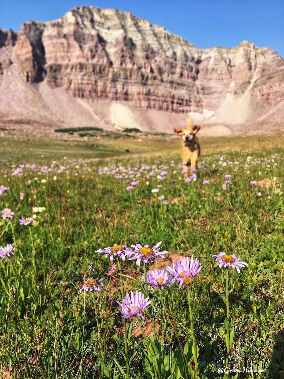
Charlie runs through the Dead Horse Lake cirque – he loves doing sprints in meadows!
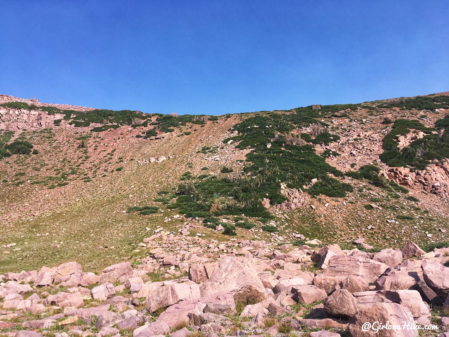
I got closer to the base of the ridge. It didn’t look too bad. I planned on hiking straight up with little switchbacks. However, as I started uphill I saw cairns! There was a decent trail to the ridge, with lots of sheep and/or mountain goat tracks.
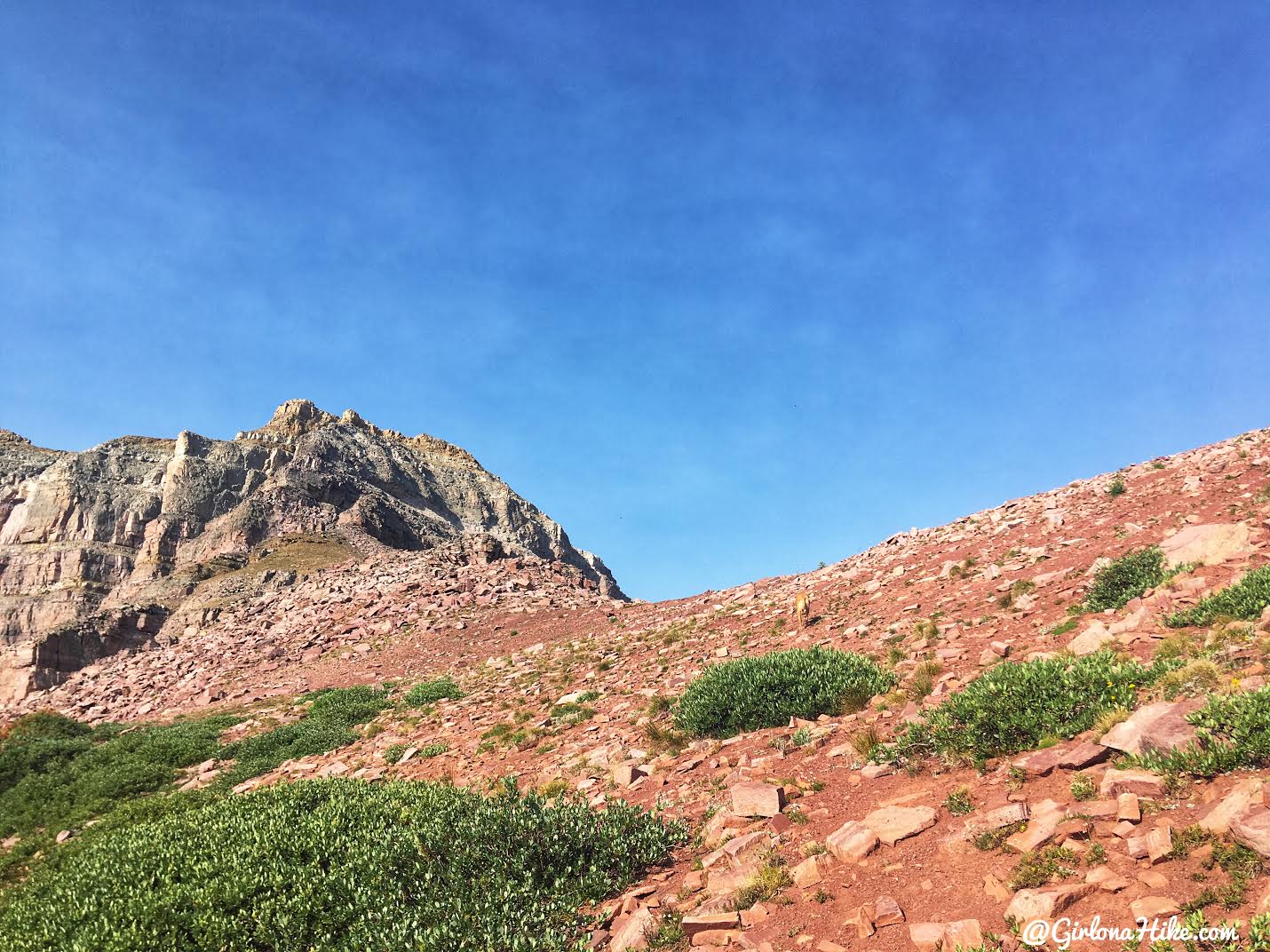
Almost there. From the base of the ridge to the top gains 253 ft in just 0.2 miles. It’s steep but the switchbacks made it easier.
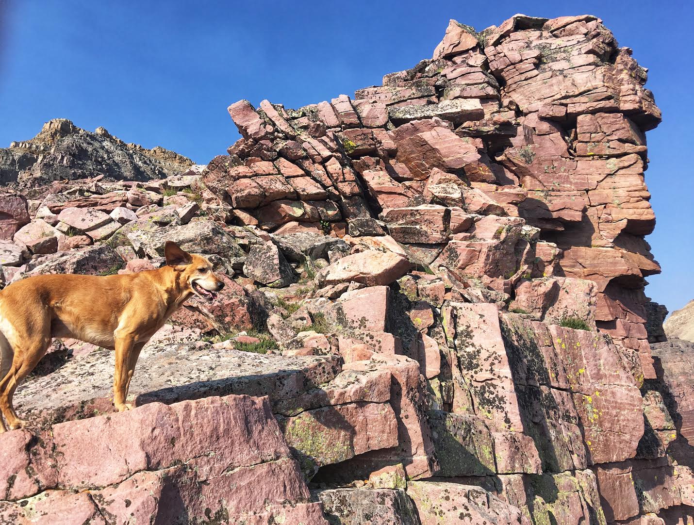
Charlie and I climb to a small overlook. The wind was crazy up there!
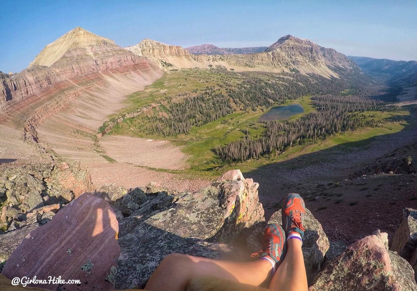
WOW! What a view. I was so excited to look down into the Allsop Lake drainage, knowing I would be there the following weekend. The peak to the left is Yard Peak, and is probably accessed via Priord Lake (it at least seems the shortest).
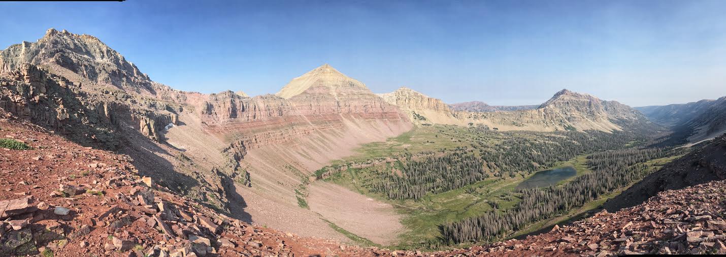
Pano from the Ridge looking West. I didn’t see any obvious way down this side of the ridge to reach Allsop Lake. But the cairns leading up must be there for a reason.
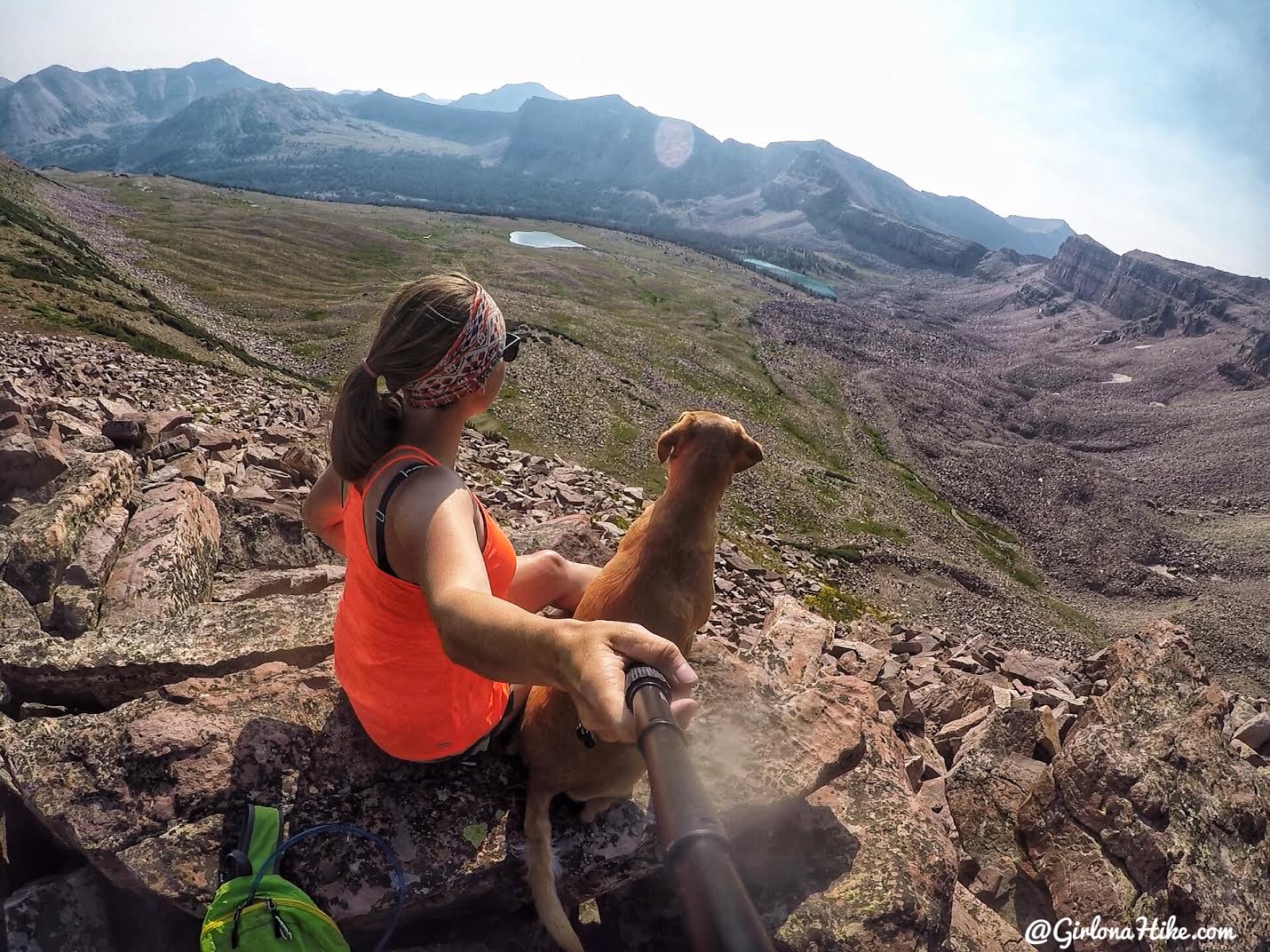
Looking back down to Dead Horse Lake and Lake Ejod.

Pano down to Dead Horse Lake basin.
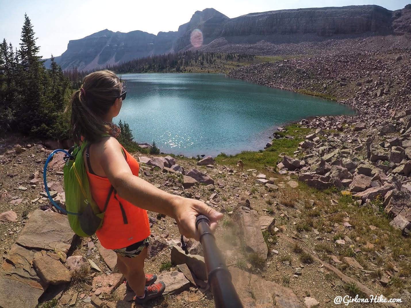
I hiked back down a slightly different way, and ended up on the West end of the lake.
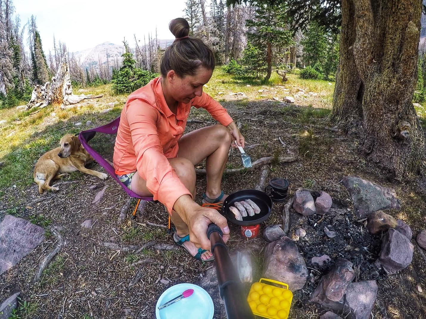
By the time I got back to camp I was starving again! So I cooked up some eggs and bacon and put them in a tortilla.
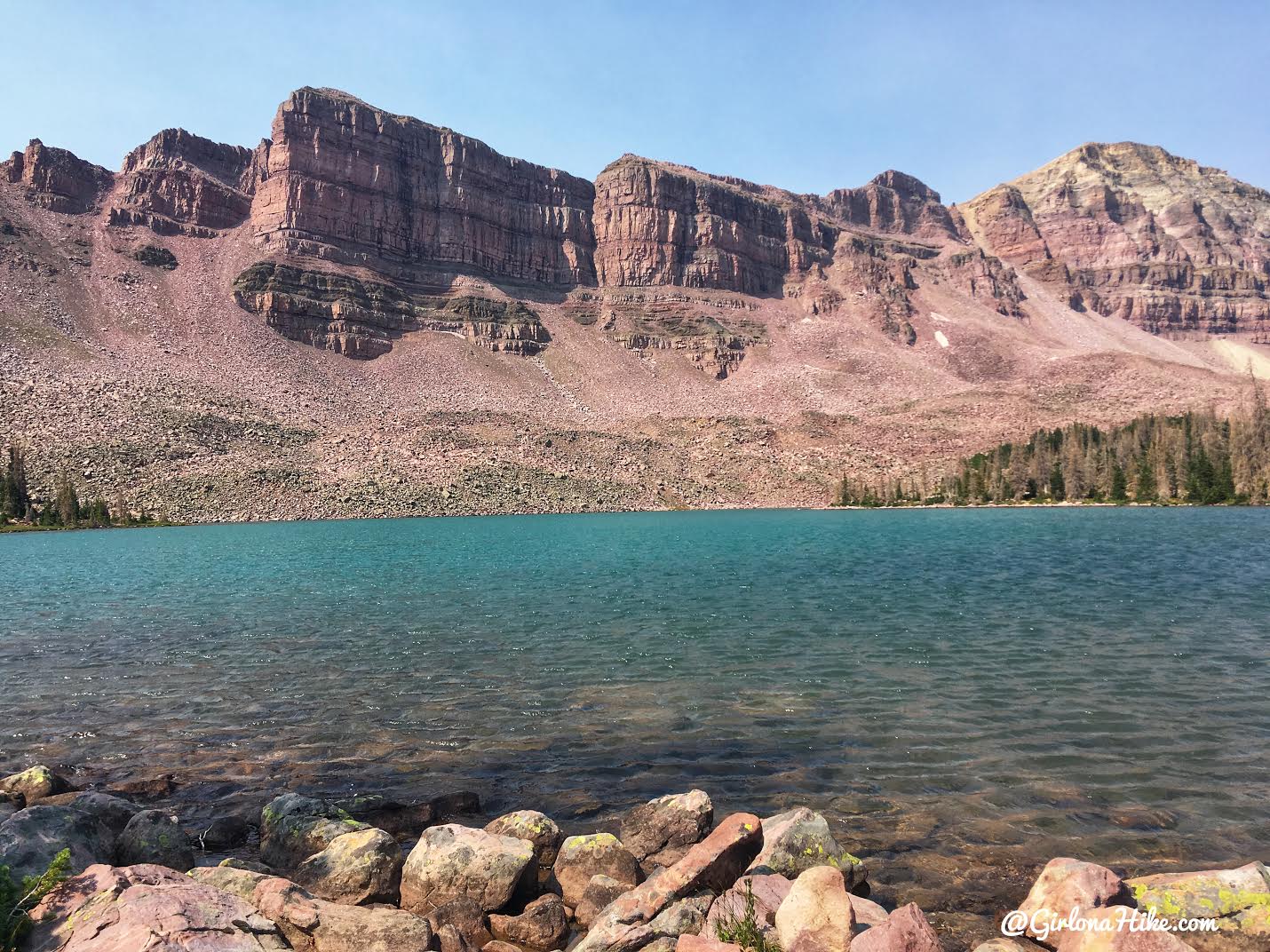
Ahh, enjoying lake time.
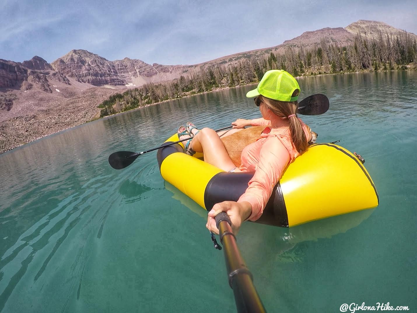
The lake looked lonely, so I took out the Alpaca Pack Raft for a ride with Charlie in my lap.
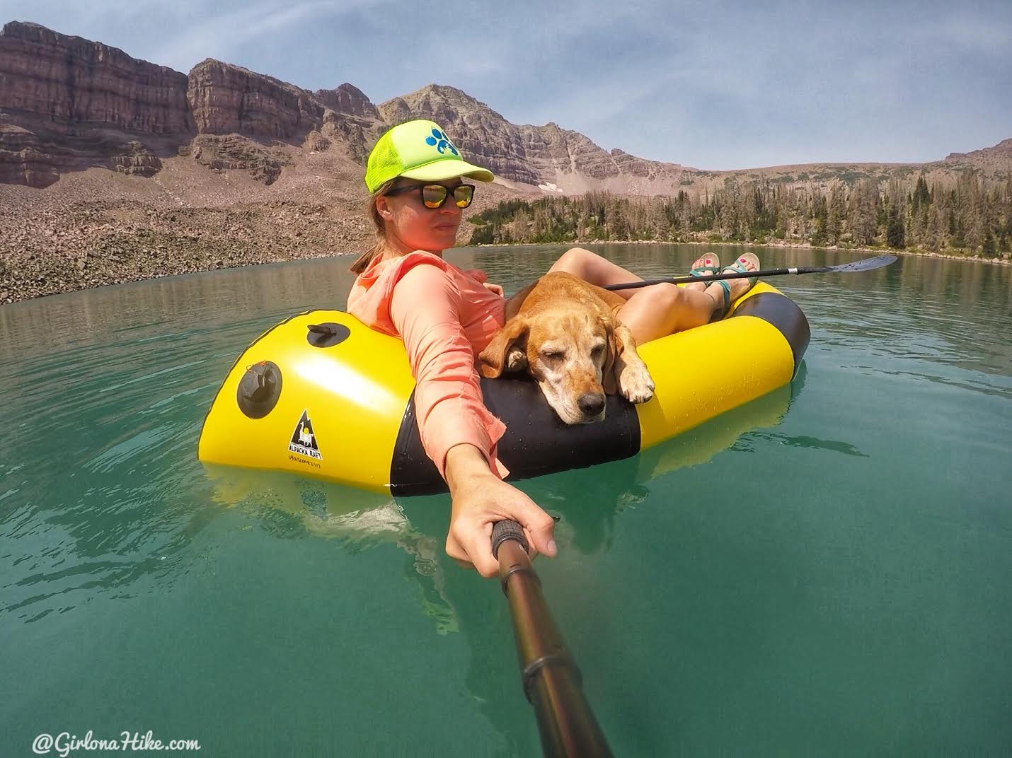
He seriously can sleep anywhere!
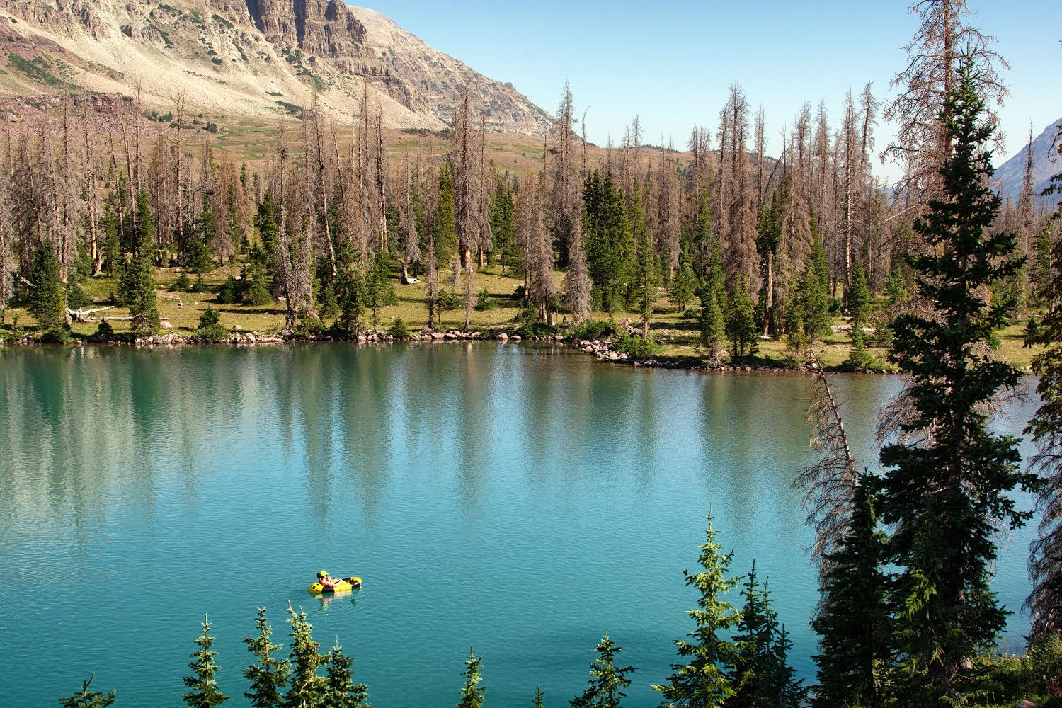
What a fun day – I got a short hike in, relaxed, and pack raft time in! Ian fished most of the day and caught about 15 fish, mostly tiger and brook trout.
Day 3
Distance: 2 miles RT to Dead Horse Pass, plus 11 miles back to car for a total of 13 miles
Elevation gain: 631 ft to Dead Horse Pass
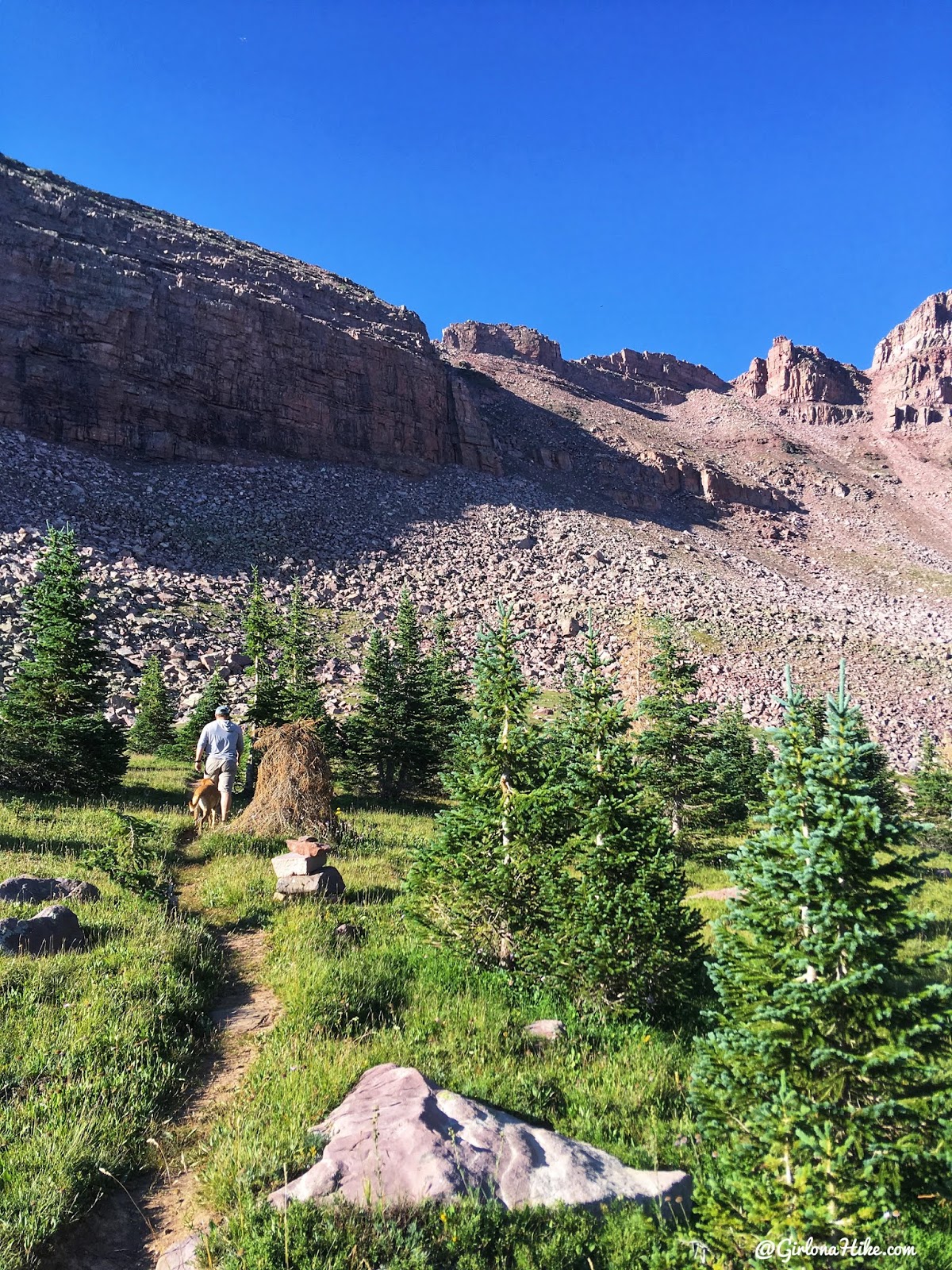
The morning we had to head out and back home, we wanted to first hike to Dead Horse Pass.
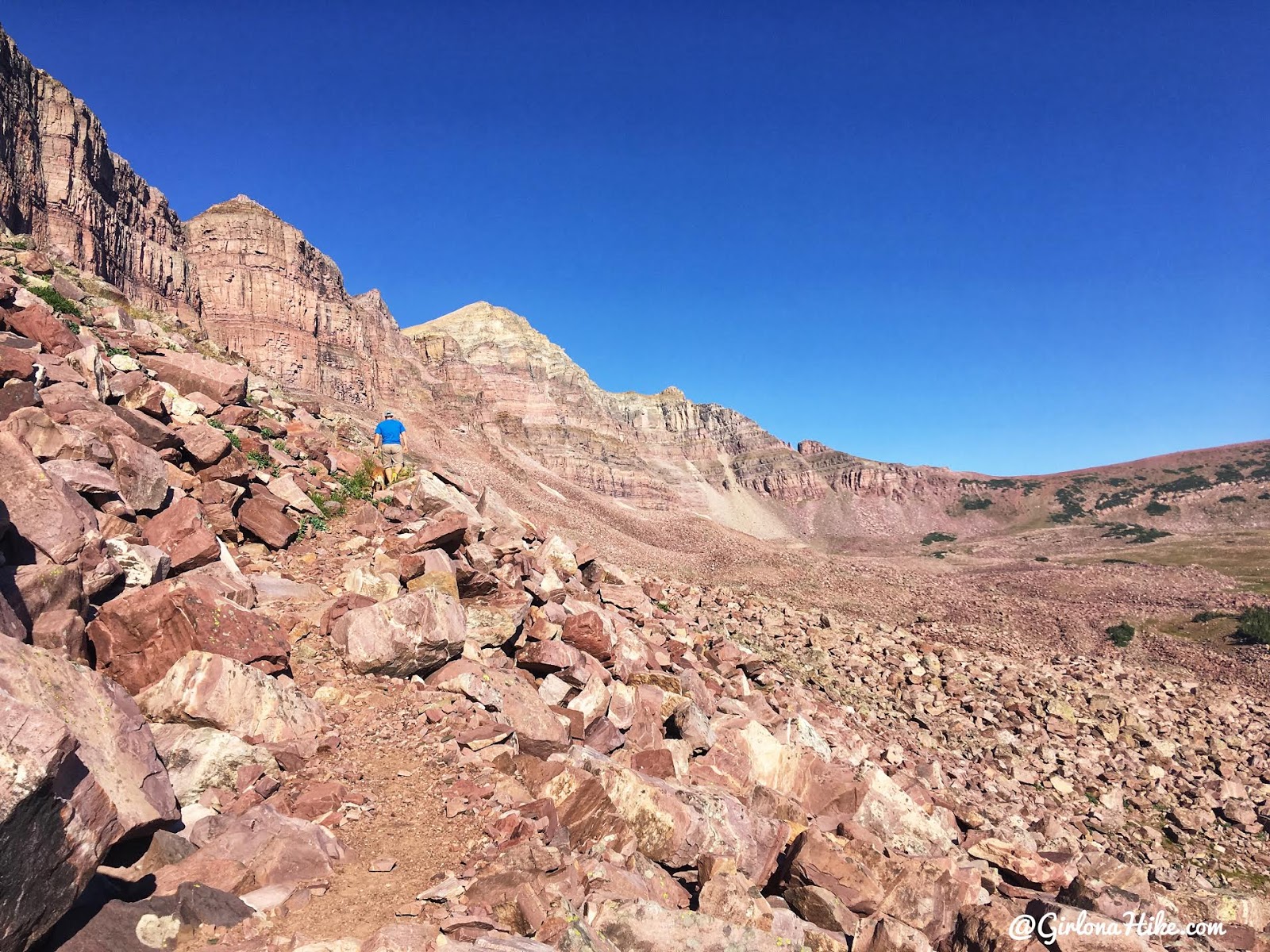
The trail is easy to follow, though not easy to hike. It gains 631 ft in just 1 mile, and has several steep drop offs.
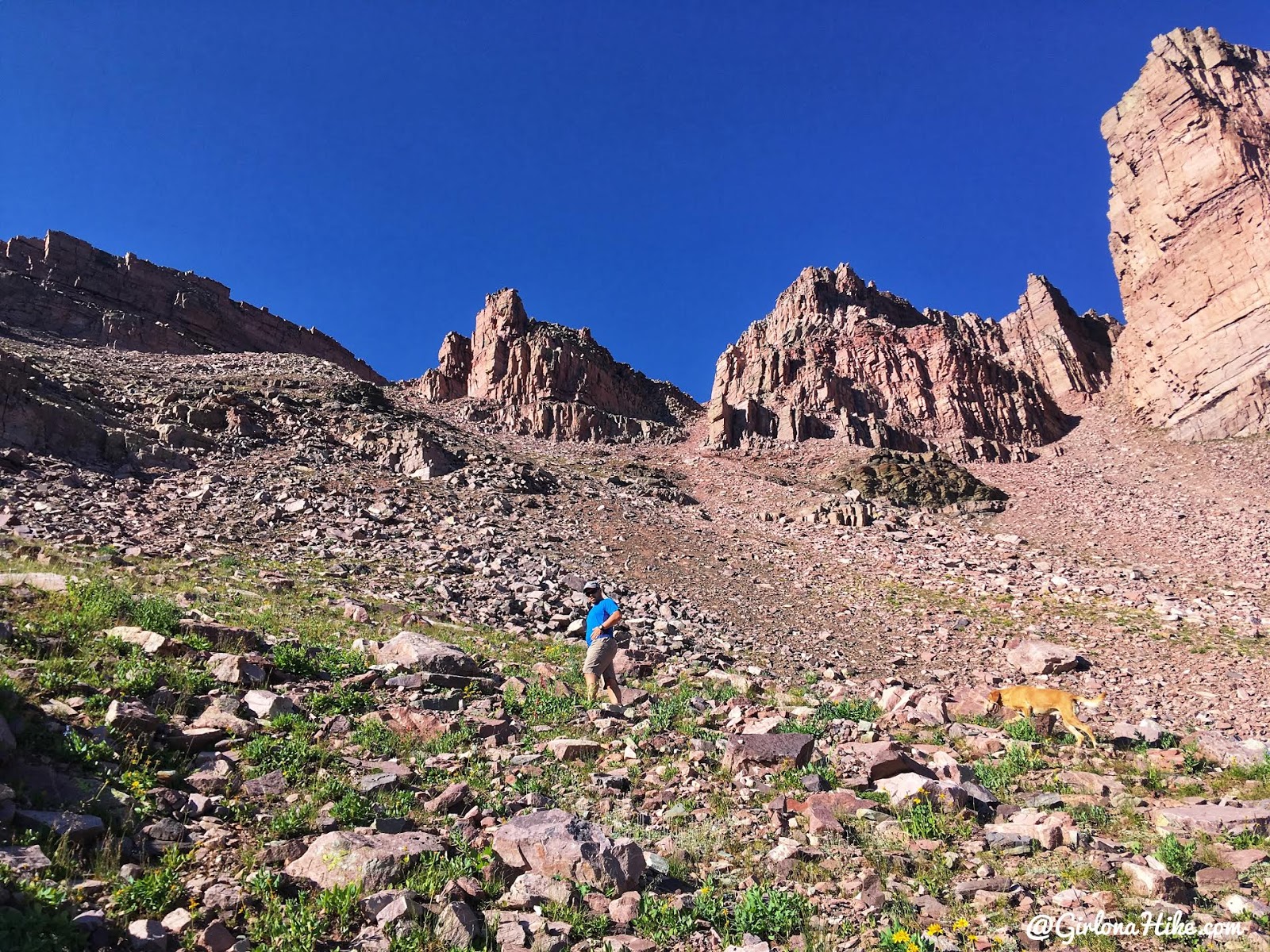
Ian and Charlie lead the way and hike fast, while I took my time.
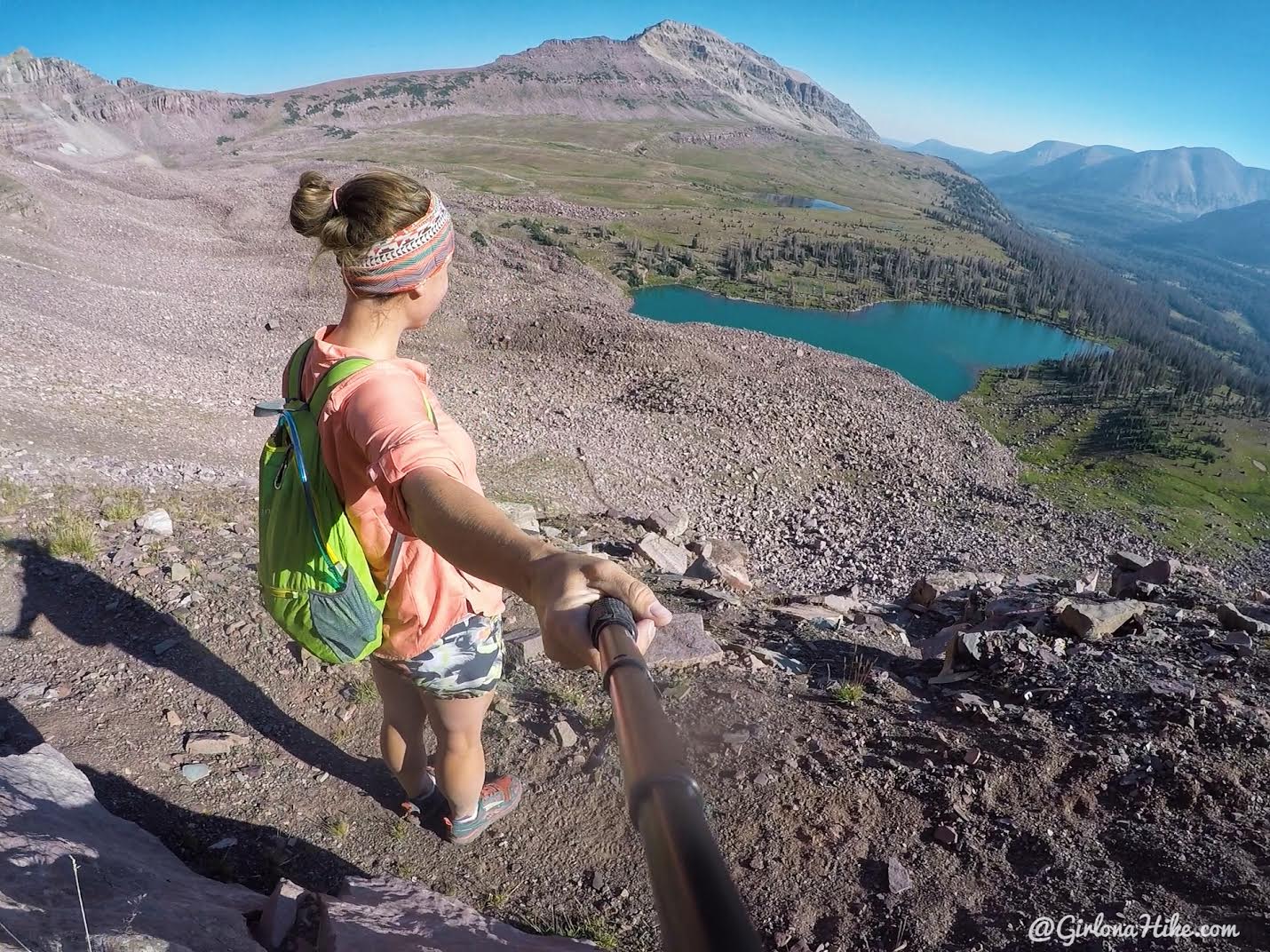
Working hard uphill, with an amazing view!
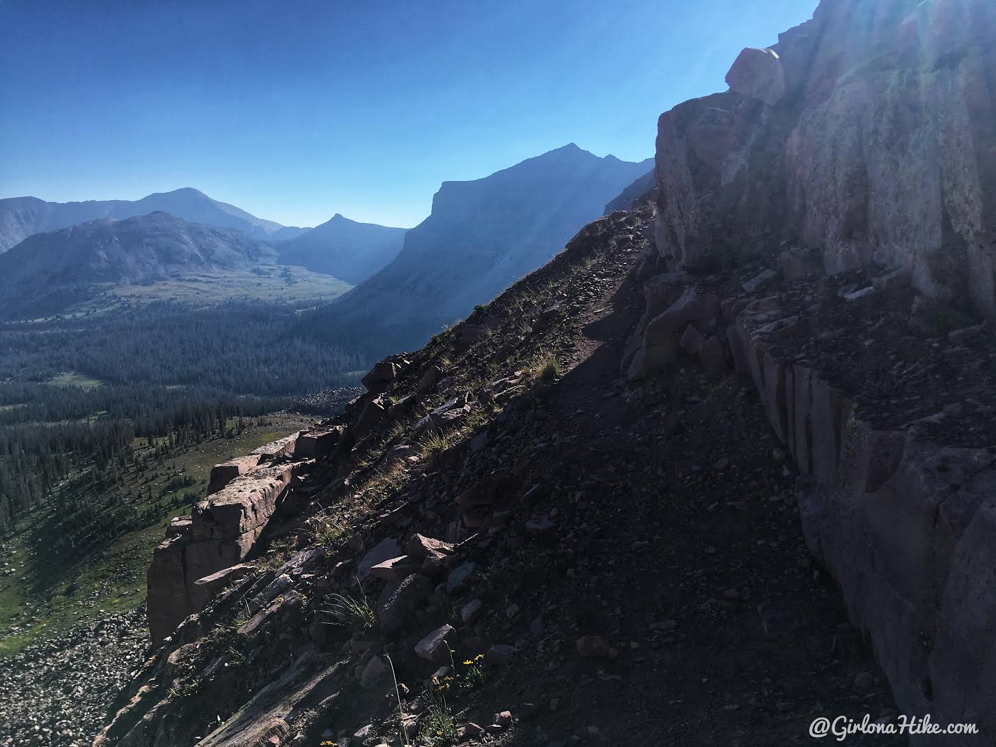
Whoa, a little scary at one point…
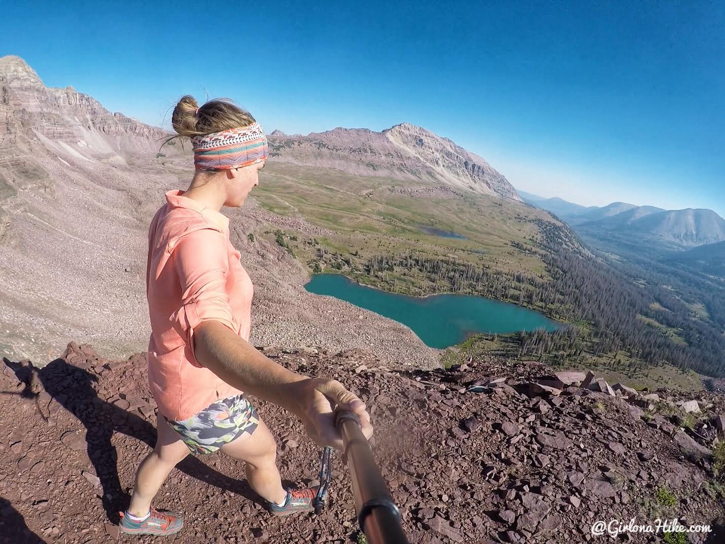
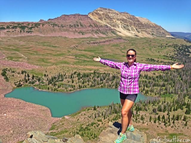
But we made it to the ridge in 35 minute from camp. Not bad! Once on the ridge it’s flat.
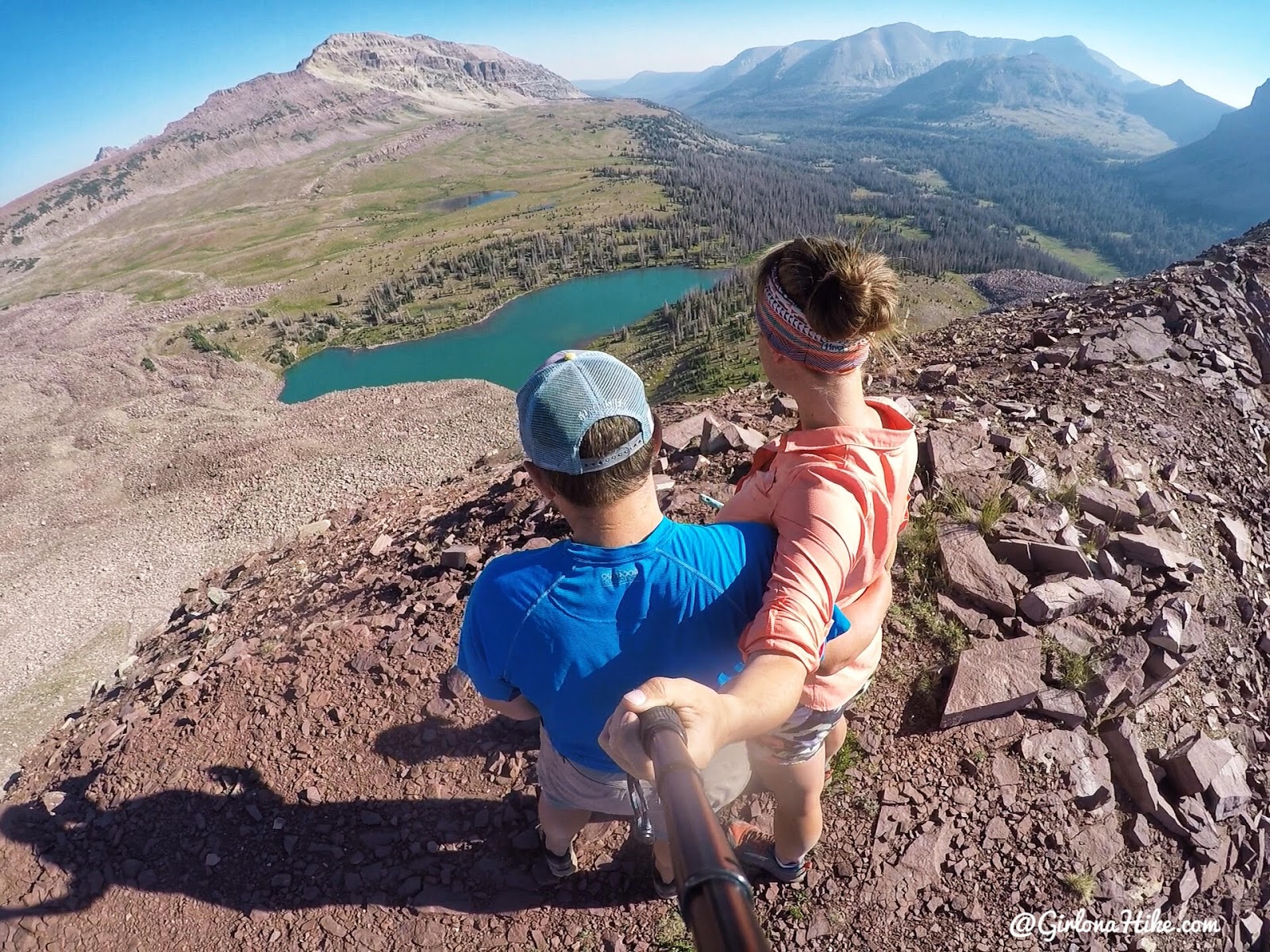
It was so cool to be up here again and to show Ian one of my favorite spots in the Uintas! Afterwards we packed up our camp to hike out.
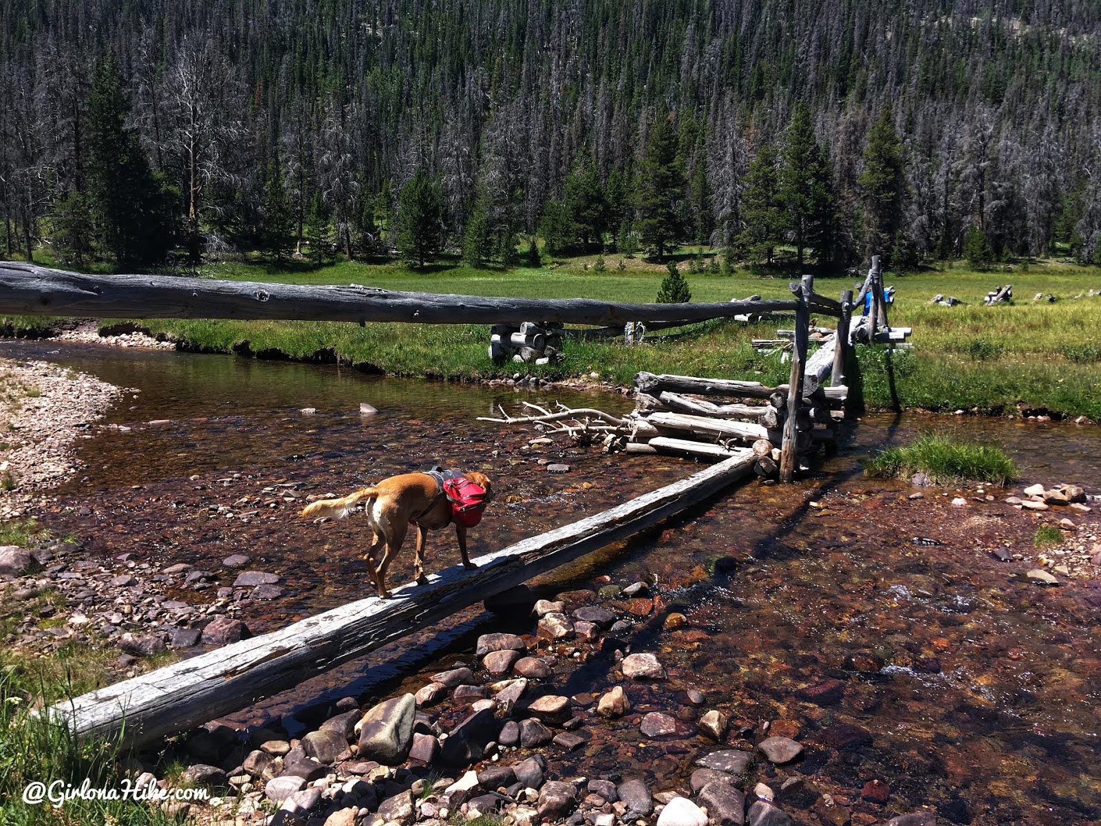
Crossing the bridge on the way back.
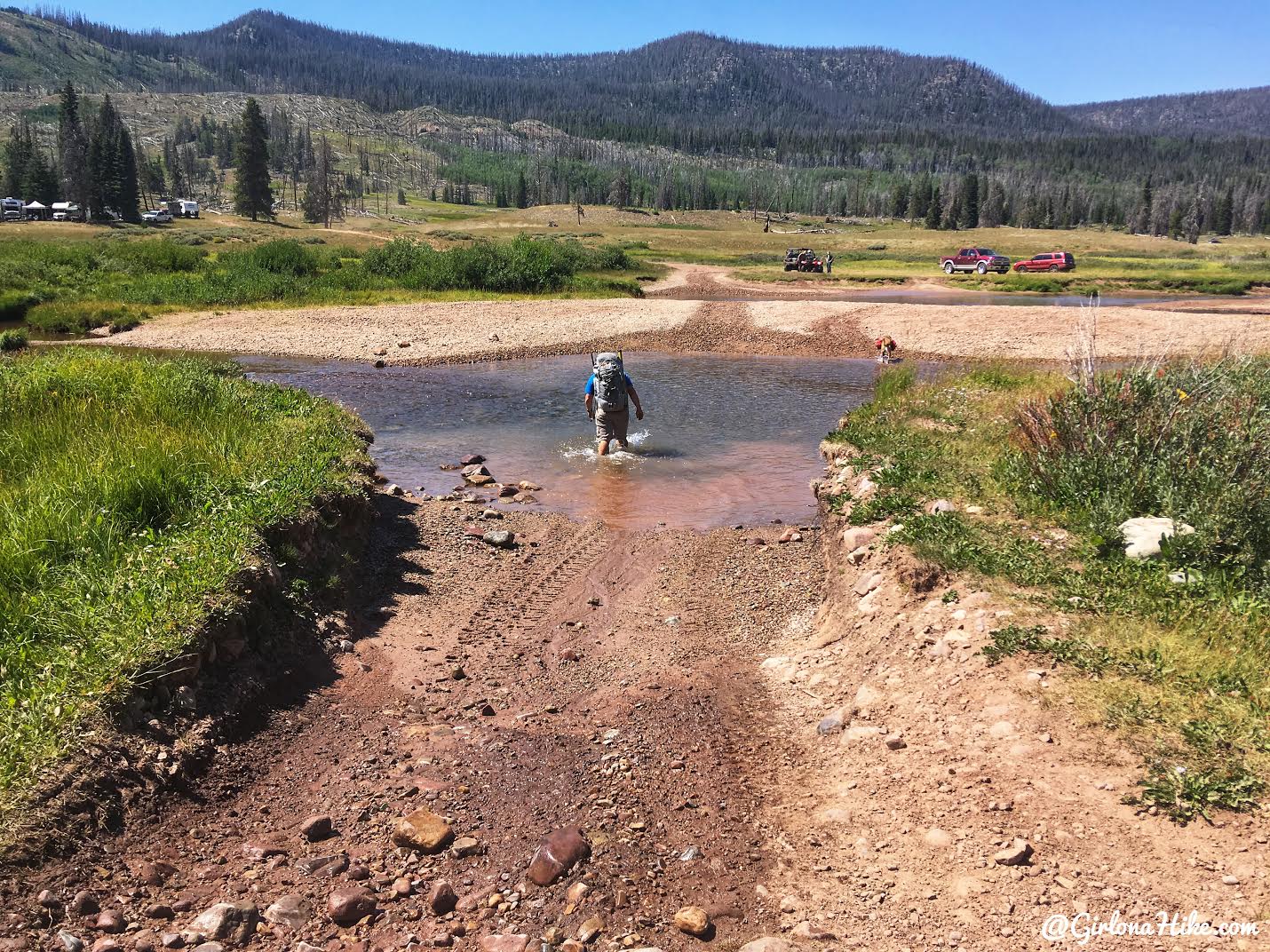
By this point it was pretty hot, and seeing the last river crossing was such a relief!
Trail Map
Pink – main trail to lake
Yellow – trail to Dead Horse Pass
Green – my cross country hike to the Dead Horse/Allsop Lake Pass
Get your app here for a discount.
Nearby Hike
Backpacking to Gilbert Lake, Uintas


Save me on Pinterest!
