
About
Directions
From SLC head north on I-15, and take exit 362. Stay on HWY 89 for 27 miles until you reach Logan, UT. Turn right onto 400 N, and drive another 22 miles. Look for the brown Tony Grove Lake sign. Drive another 7 miles to the large parking lot. The trail starts at the West end of the parking lot. There is one restroom in the parking lot.
Trail Info
Distance: 3.8 miles (one way)
Elevation gain: 800 ft
Time: 4 hours – 1 over night backpack
Dog friendly? Yes, off leash
Kid friendly? Yes
Fees/Permits: No permit is required, however there is a $6 fee to park in the Tony Grove parking lot whether you only stay or the day or overnight. Each additional night is $6/car.
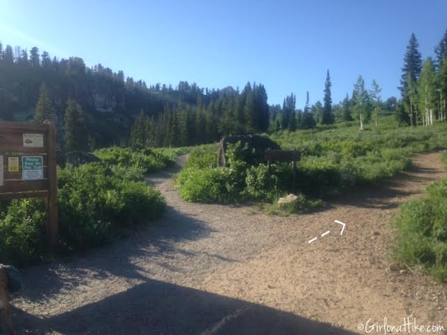
I drove up after work on Friday night, and with the construction, traffic, and one gas/snack stop, it took me about 2 hours to reach the TH. Pay your parking fee ($6), and hang the tag in your car. When you start hiking, take a right at the first sign. Going left is for the Nature Trail and is an easy 0.5 mile walk around Tony Grove Lake, and is also very pretty.
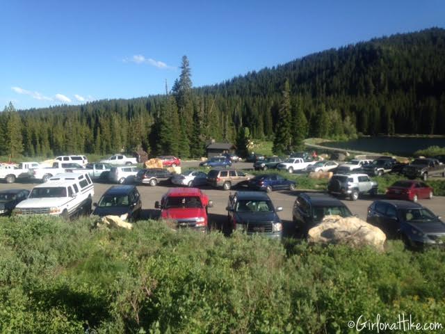
I started backpacking at 7pm, and apparently about 40 other cars had the same idea. The lot was mostly full in the evening. Not everyone went to White Pine Lake though – there are a few campsites on the southern end of Tony Grove Lake.
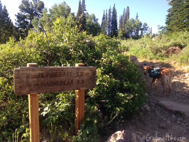
At the 2nd trail split, turn right.
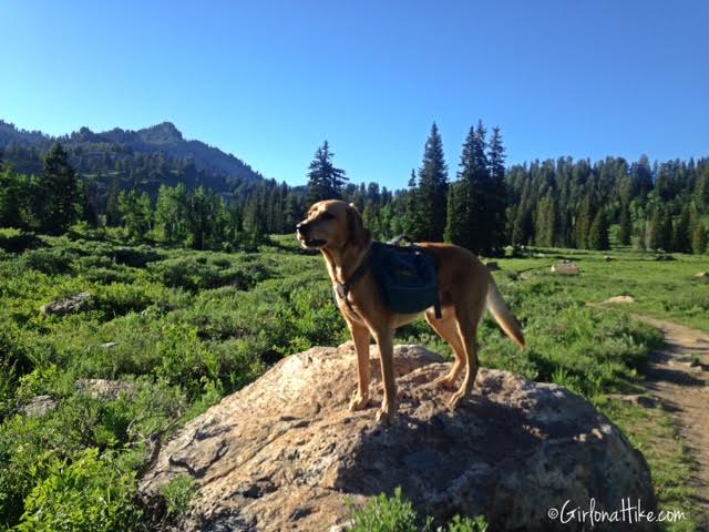
Charlie loves jumping on rocks, even with his pack on. We crossed the first meadow. Mt. Magog is the peak you see in the distance to the left.
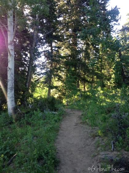
About half of this hike is very well shaded.
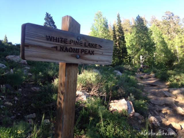
At the 3rd trail split, take another right.
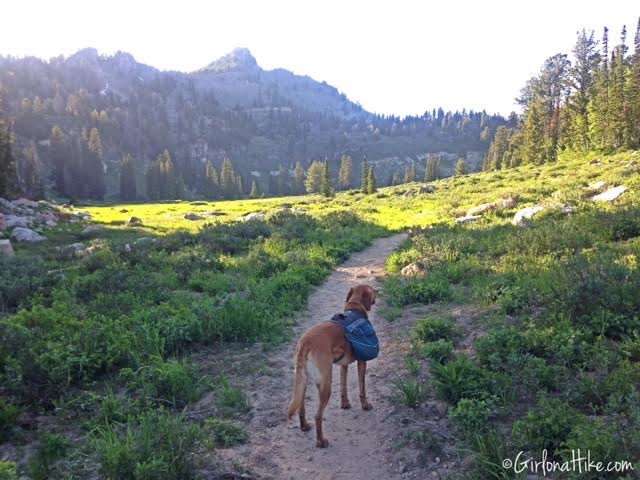
Cross a 2nd meadow. This section was so pretty – the photos don’t do it justice!
#Selfie
Learn about what I wear while hiking in cold weather!
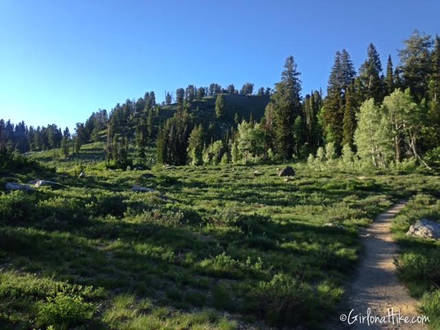
Continuing on the trail, you will head north, and eventually the trail will turn East for a few minutes.
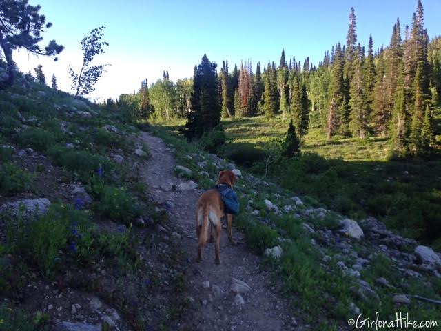
Continue North once again, through this small gully area. This section was awesome because the sun was behind the ridge and a gently breeze cooled my sweat.
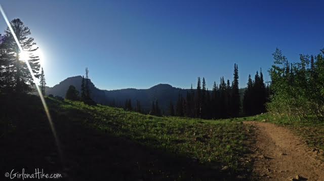
At the saddle! From here the trail drops down a few switchbacks before heading West. Mt. Magog is is peak to the left, and Mt. Gog is the smaller peak on the right.
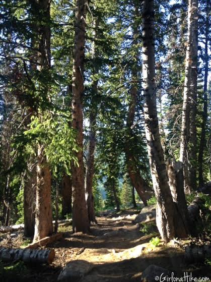
Very forested and shaded section.
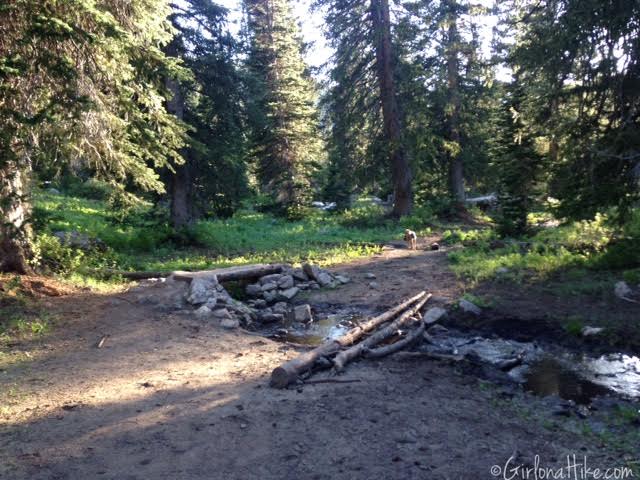
Cross the first bridge.
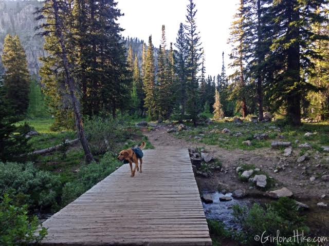
Then cross the 2nd larger bridge.
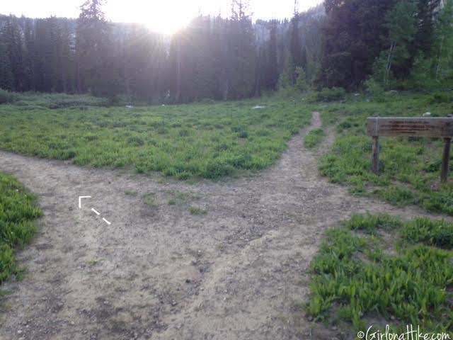
You’ll come to a 3-way intersection. White Pine Lake is to the left. Just after this intersection is where I encountered the only super muddy section, which lasted maybe 50 yards. It wasn’t bad as there were logs and rocks to hop over. Using my trekking poles helped me balance over them.
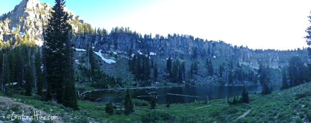
I arrived to White Pine Lake in 1 hour 15 minutes, and I didn’t need to take any rest breaks since the trail was very flat. I probably passed 15 people on my way here.
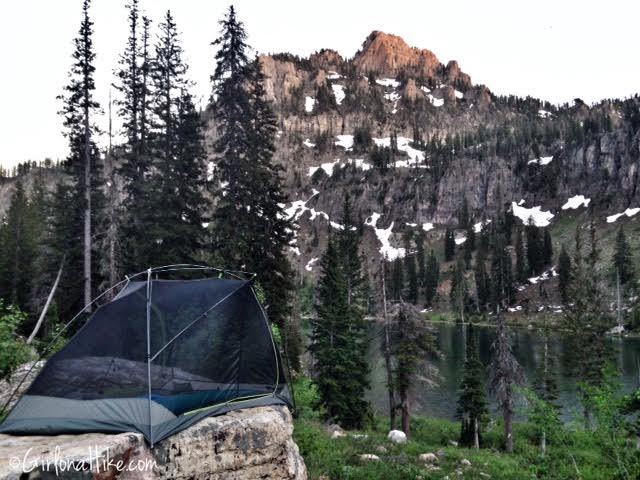
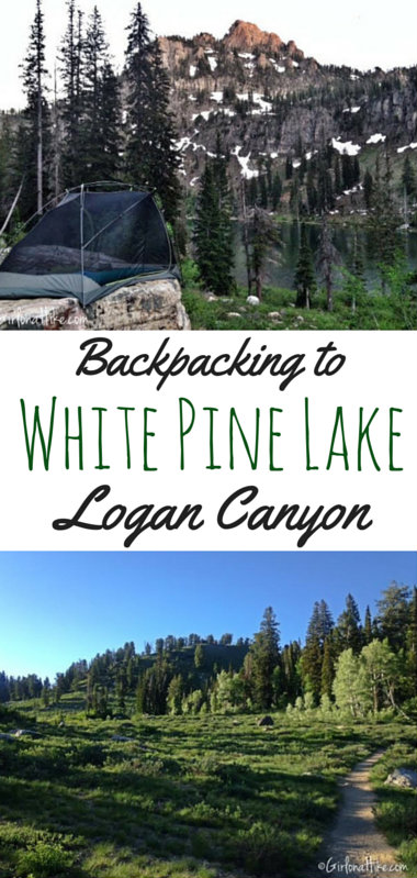
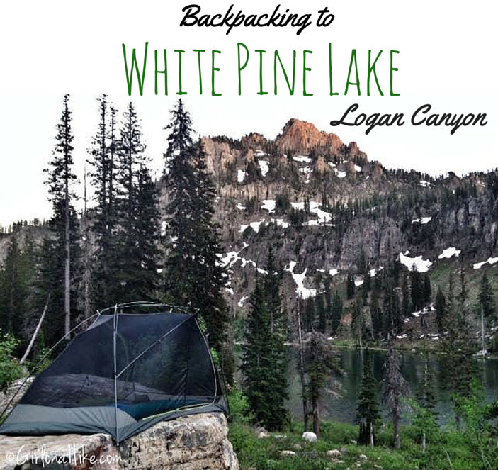
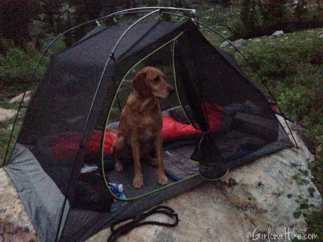
Since there were so many people camping at this lake, and I couldn’t find a flat camping spot, I ended up putting my tent on this large rock on the Northern end of the lake. It actually worked out really well and I had a great view!
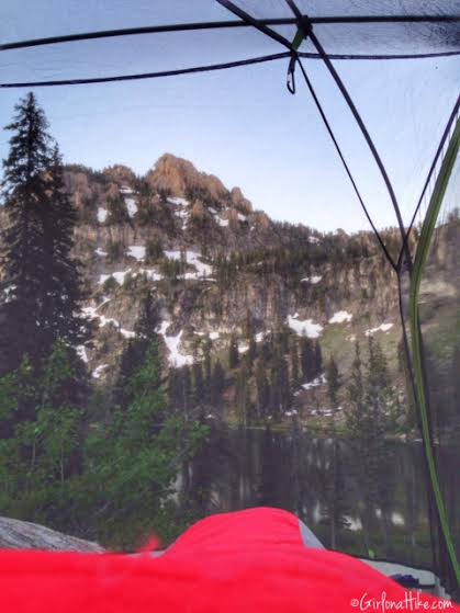
View from inside my tent, and me in the sleeping bag. It ended up getting down to about 35F over night, and wished I had a beanie with me to stay warmer. My 15F Alps Mountaineering bag worked pretty well – just my head and ears got cold.
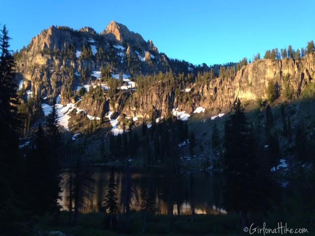
Good morning, Mt. Magog!
We got packed up and back on the trail at 7am the next morning. Even though this photo is somewhat blurry, I think it gives a cool, dizzying, effect of when Charlie hikes right by my side. What a good boy!
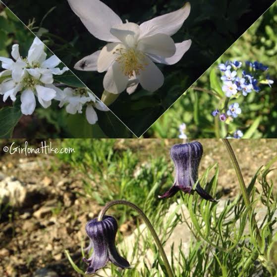
While backpacking to While Pine Lake, you’ll see several wildflowers. My favorite are these upside-down purple flowers.
Trail Map
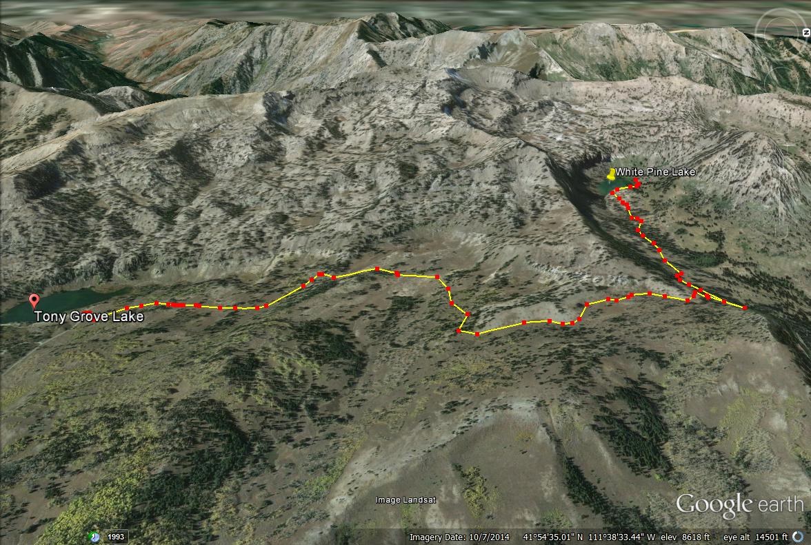
Trail map looking West.
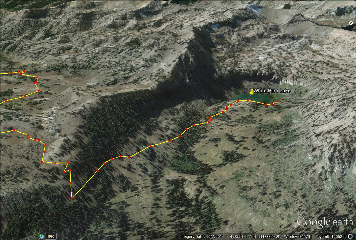
A close up of the trail map.
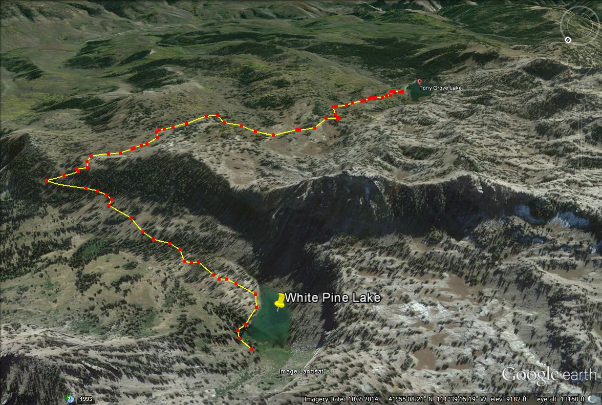
Trail map looking South.

Save me on Pinterest!
