
East Mountain (10,743 ft) is the Emery County High Point, and is one of several peaks along the Wasatch Plateau. The hike itself is straight forward, following a well-worn trail used by horses, hunters, and hikers. The main reason why people hike to this peak is for checking off the Utah County High Points (CoHPs) list. It’s one of the easier CoHPs, and is often combined with Monument Peak, South Tent Mountain, or all three in one day. For our trip, we only did East & Monument on the same day since I had hiked South Tent Mountain a month earlier. From the summit you can see three CoHPs. Camping is plentiful and the drive is scenic. Both dogs and older kids can hike this route.
Directions
From Spanish Fork, UT head East on HWY 6, then turn south for US 89 for Fairview, UT. In Fairview, veer left for W 400 N on HWY 31. Drive 18.2 miles. Just past the Huntington Reservoir, turn right on Miller Flat Road. You will now be on a well-graded dirt road, and will drive by numerous camping sites off the road. Drive 13 miles, and turn left at the signed Indian Creek Campground. Drive another mile, and turn left again, just after the cattle guard and another sign for Indian Creek Campground. Reset your odometer and drive 2 miles to the cattle guard.
The first mile is well graded, after that you may need to park somewhere on this road and walk the rest of the way depending on how bad the road is rutted. My Subaru Forester and zero issues reaching the gate. Once at the gate and small ATV cut-through, you can either park here and begin to hike, or if you can keep driving, unlock the barbed wire gate and continue driving 1 more mile to the end of the road and begin hiking there.
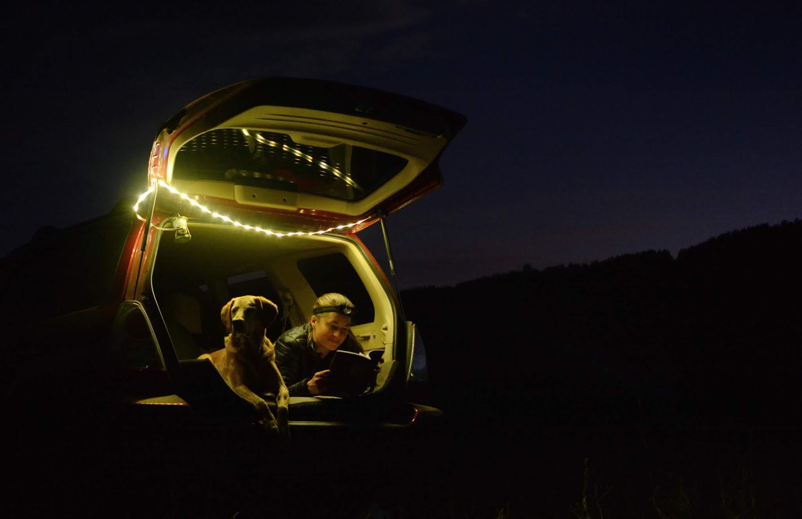
We parked at and camped at the first cattle guard, only because I couldn’t see at night that we could actually continue driving more. This is where we also began hiking. See photos below.
Here’s a driving map.
Trail Info
Distance: 6 miles RT
Elevation gain: 1,500 ft
Time: 2-4 hours
Dog friendly? Yes, off leash
Kid friendly? Yes, ages 8+
Fees/Permits? None
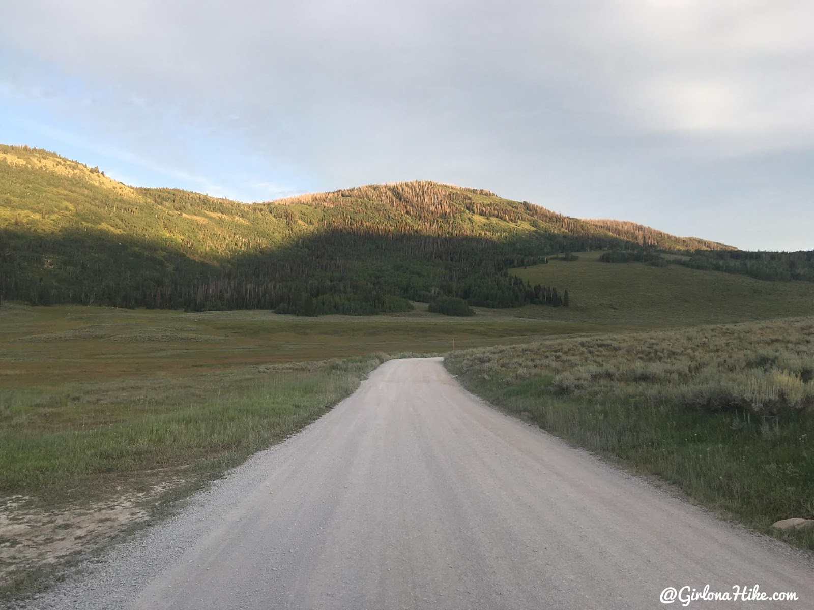
Driving through Joe’s Valley – East Mountain straight ahead!
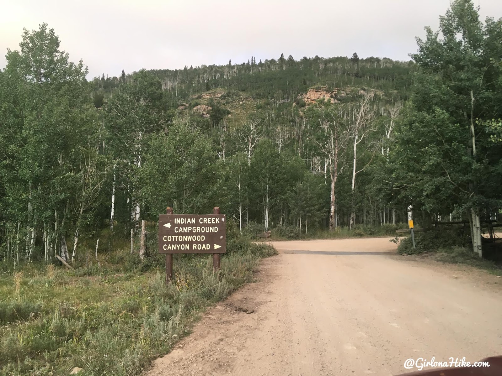
Reaching Indian Creek Campground turn off.
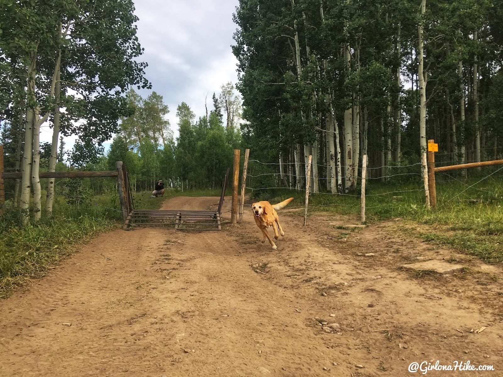
The next morning we started hiking by 8:15am so we could hike in cooler temperatures. This is what the ATV gate looks like. The ATVs pass through on the left, cars on the right. Just make sure you close the gate since cattle are in the area.
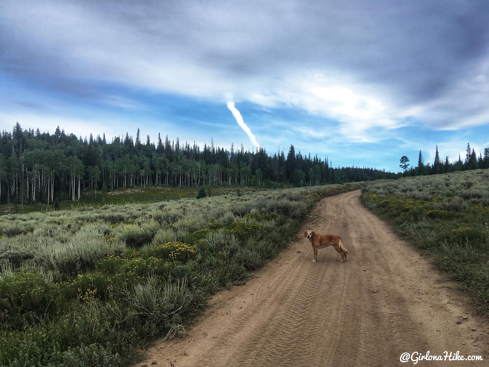
The last mile of road is much better than the first 2 miles. Sandy and flat. I wished I knew so we could have kept driving this section!
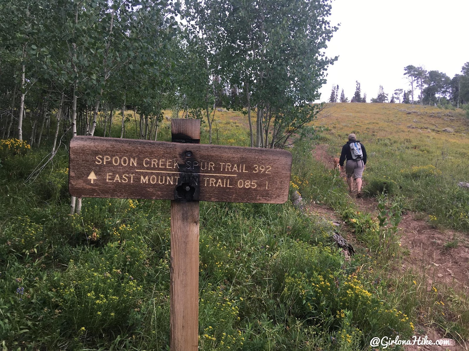
At 0.9 miles you will reach the end of the road, and see the trail sign for East Mountain.
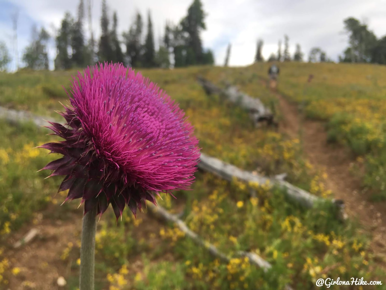
These Purple Nettle Flowers may look pretty but don’t touch! They make most people itch. For me, my legs break out in little red bumps and itch really bad! Hike up the small hill.
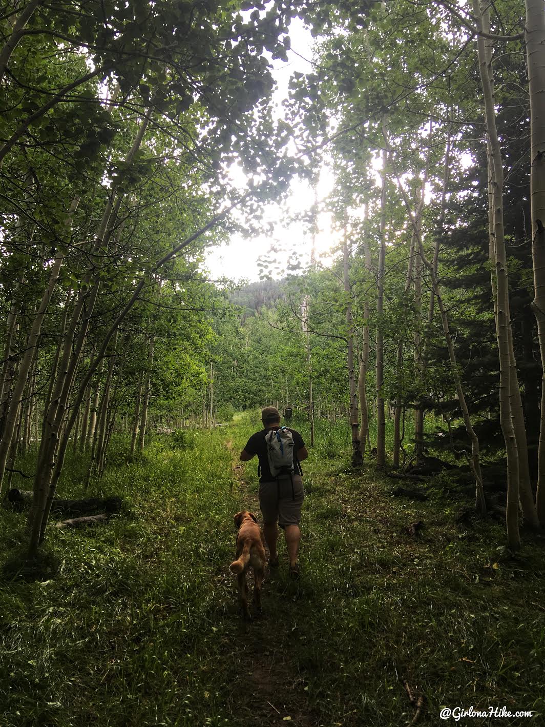
Continue following the trail as it goes through a hallway of Aspen trees.
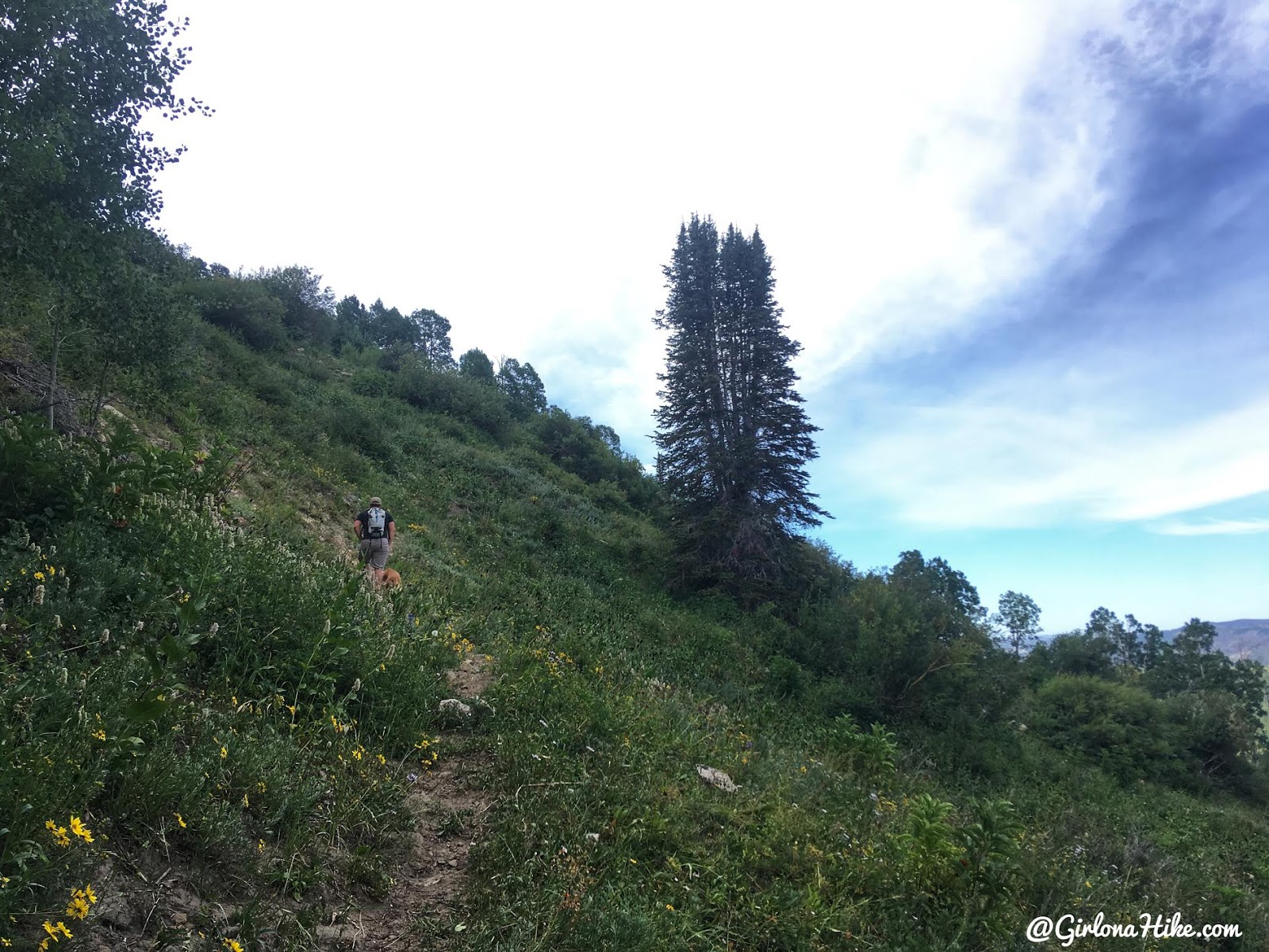
At 1.3 miles the view opens and finally starts to gain elevation and works up one switchback.
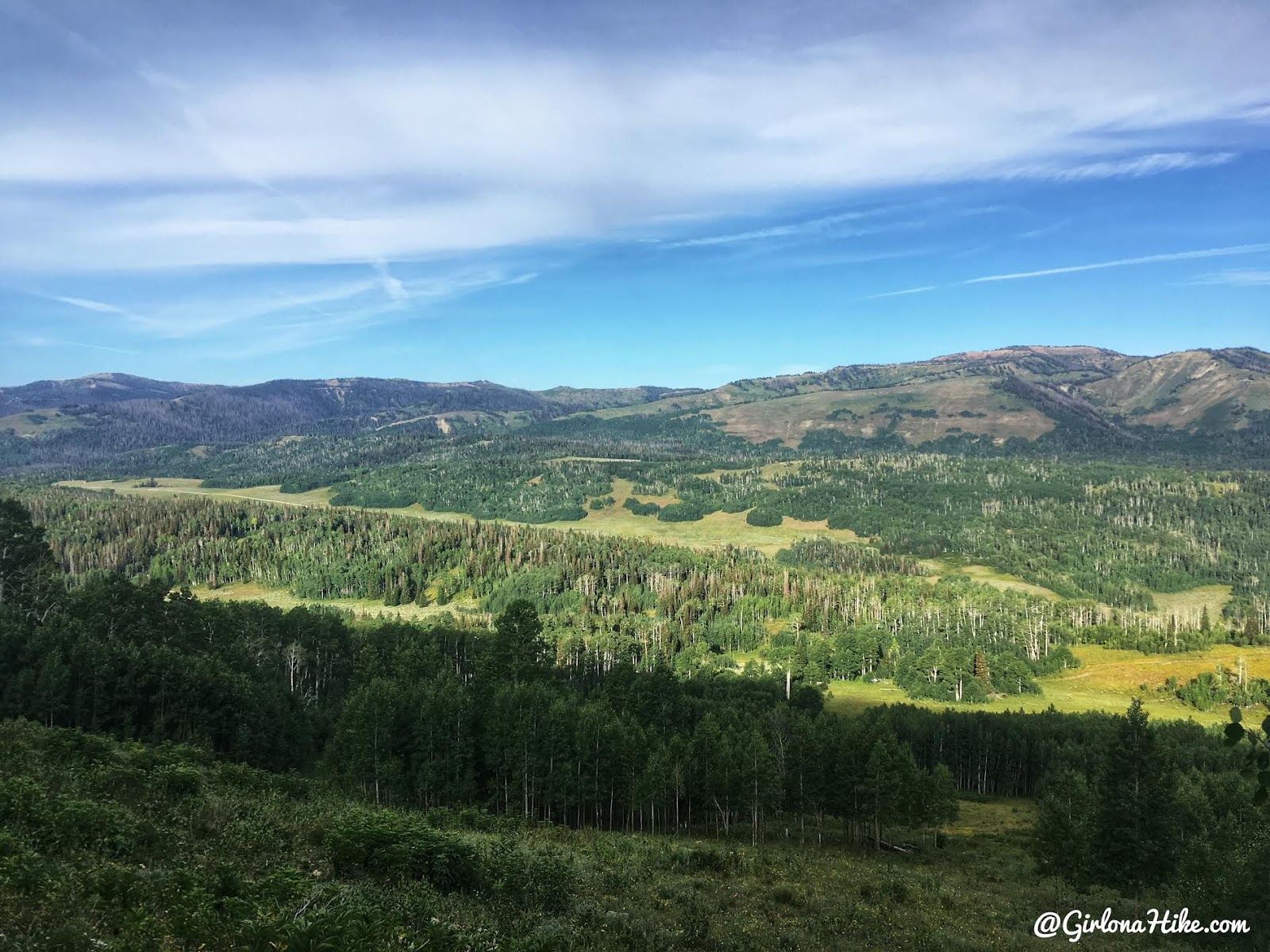
Wow, great view to the West!
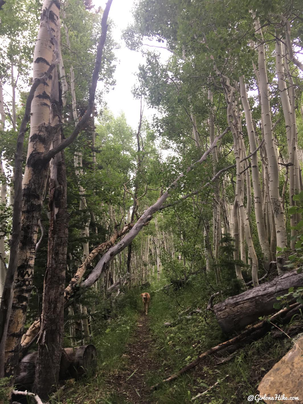
Turning the switchback – the trail is really easy to follow.
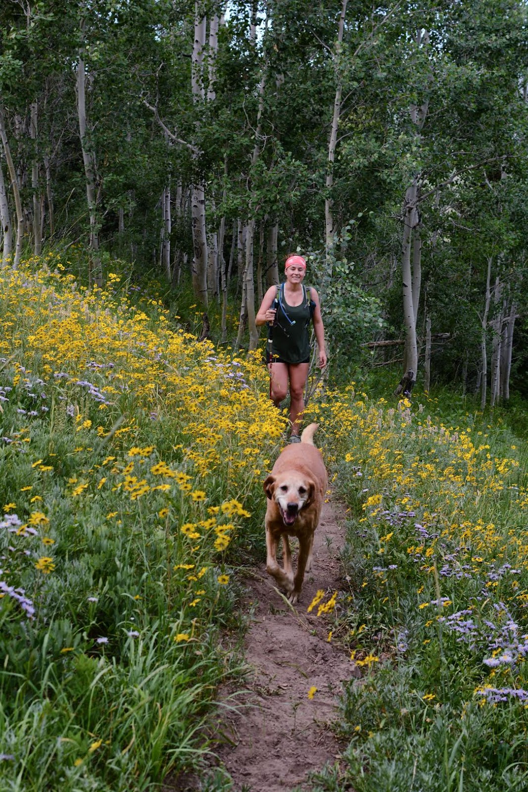
The wildflowers in late August were amazing!
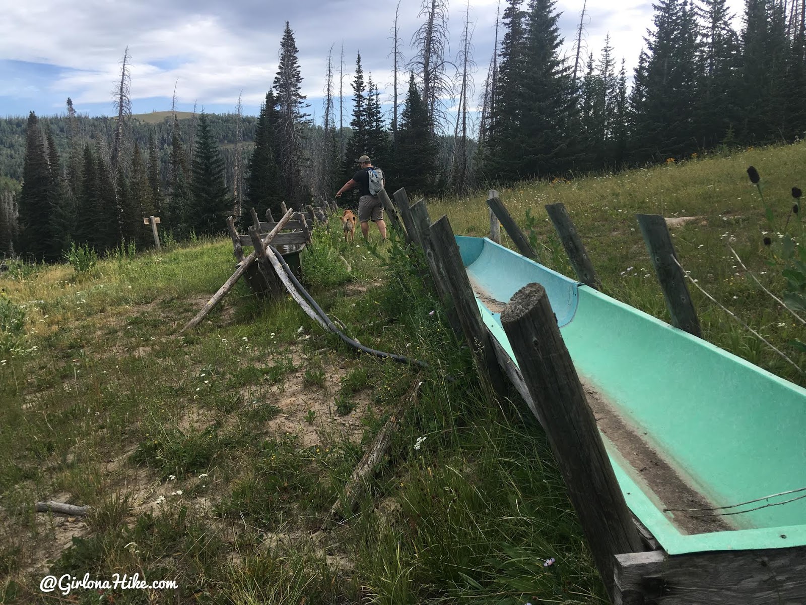
At 2.0 miles you will reach the next trail split where the water troughs are. Stay right of the troughs.
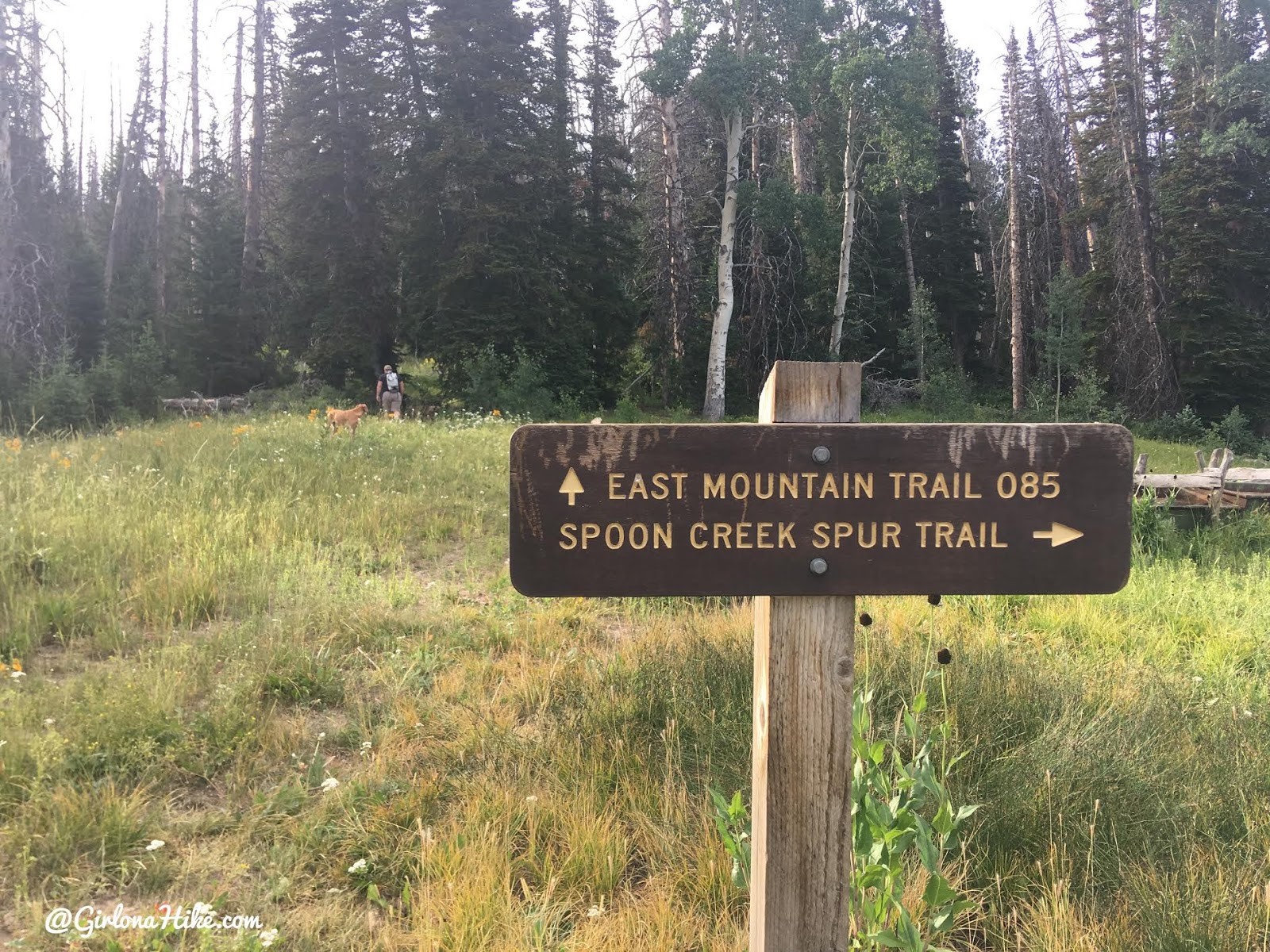
There is a trail split sign, but it’s a little off to the left of where the main trail leads up. You’ll want to stay hiking South (right).
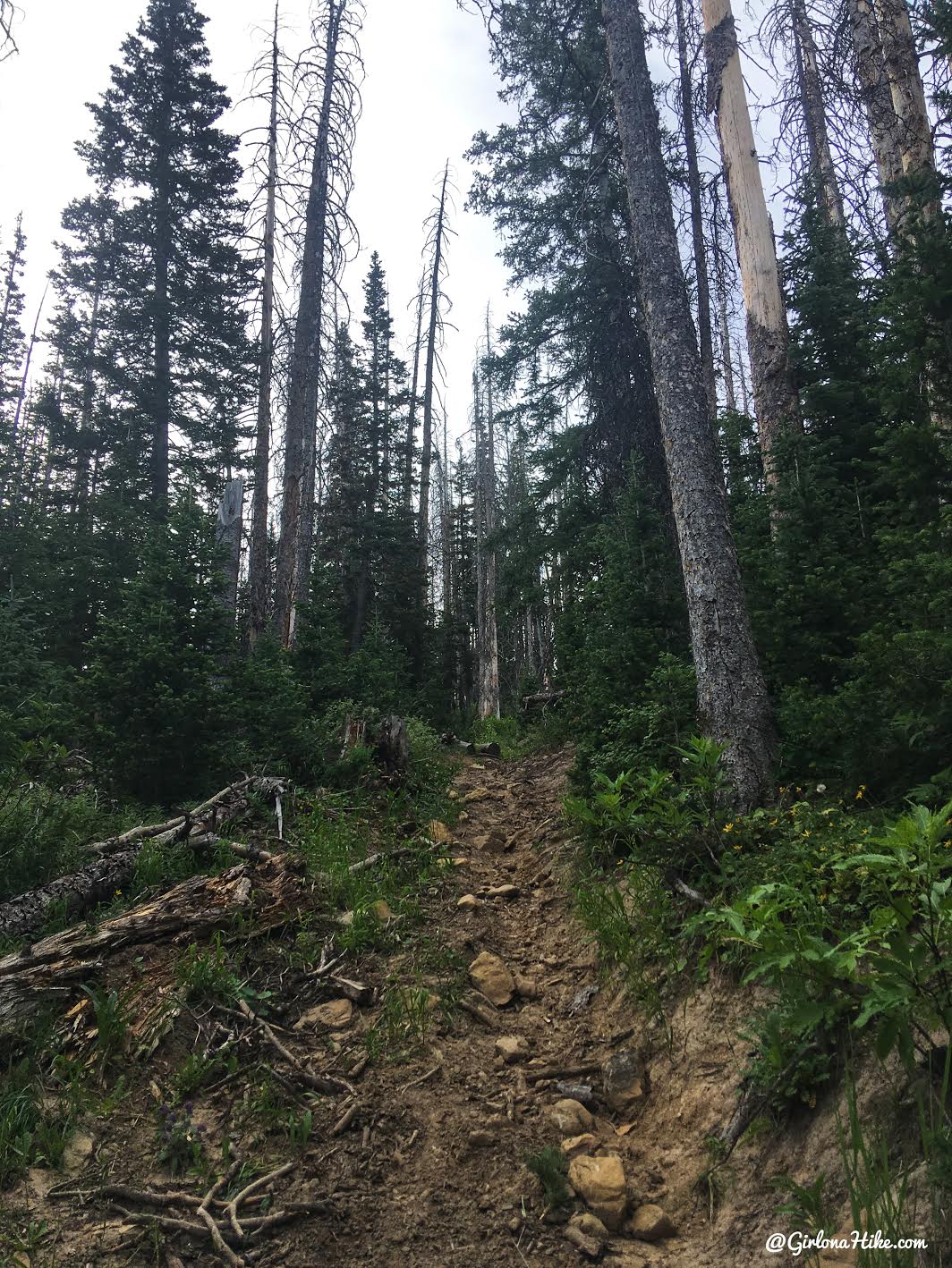
The trail really gets steep now. Keep an eye out for the last trail split at mile 2.1 to the right. We actually saw two Cow elk in this area!
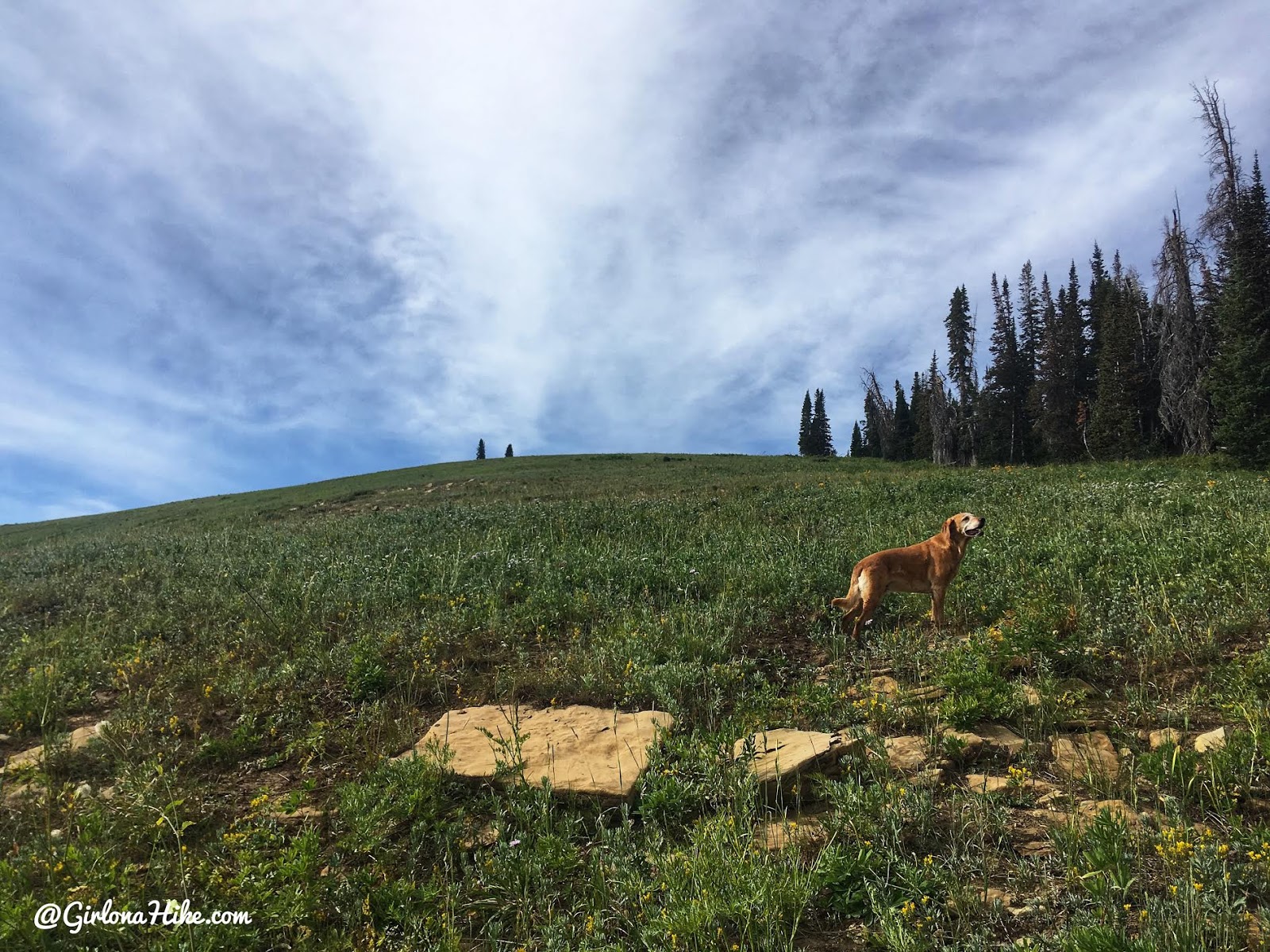
Keep following the trail as it heads South, and around 2.4 miles the trail fades away.
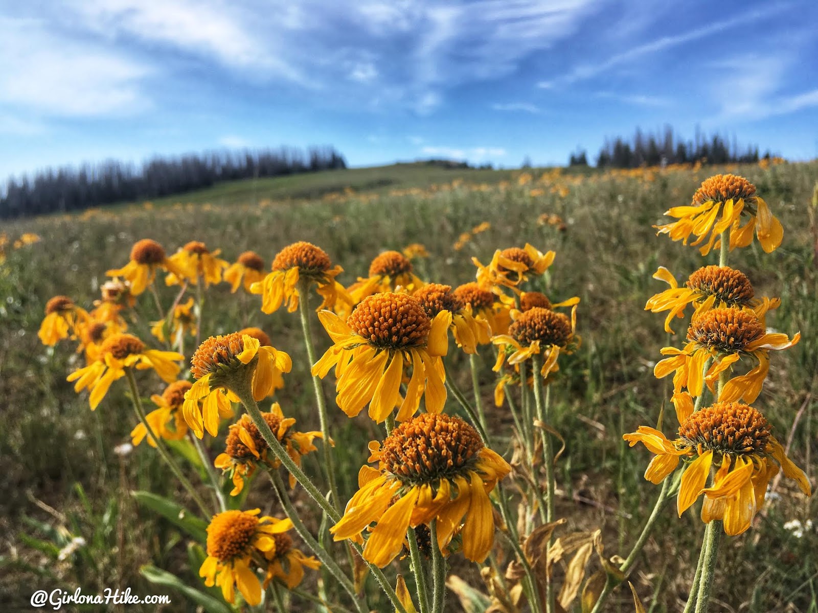
It’s not hard to know where to go though, just keep hiking up the hill to the South mostly along the ridge. What pretty flowers!
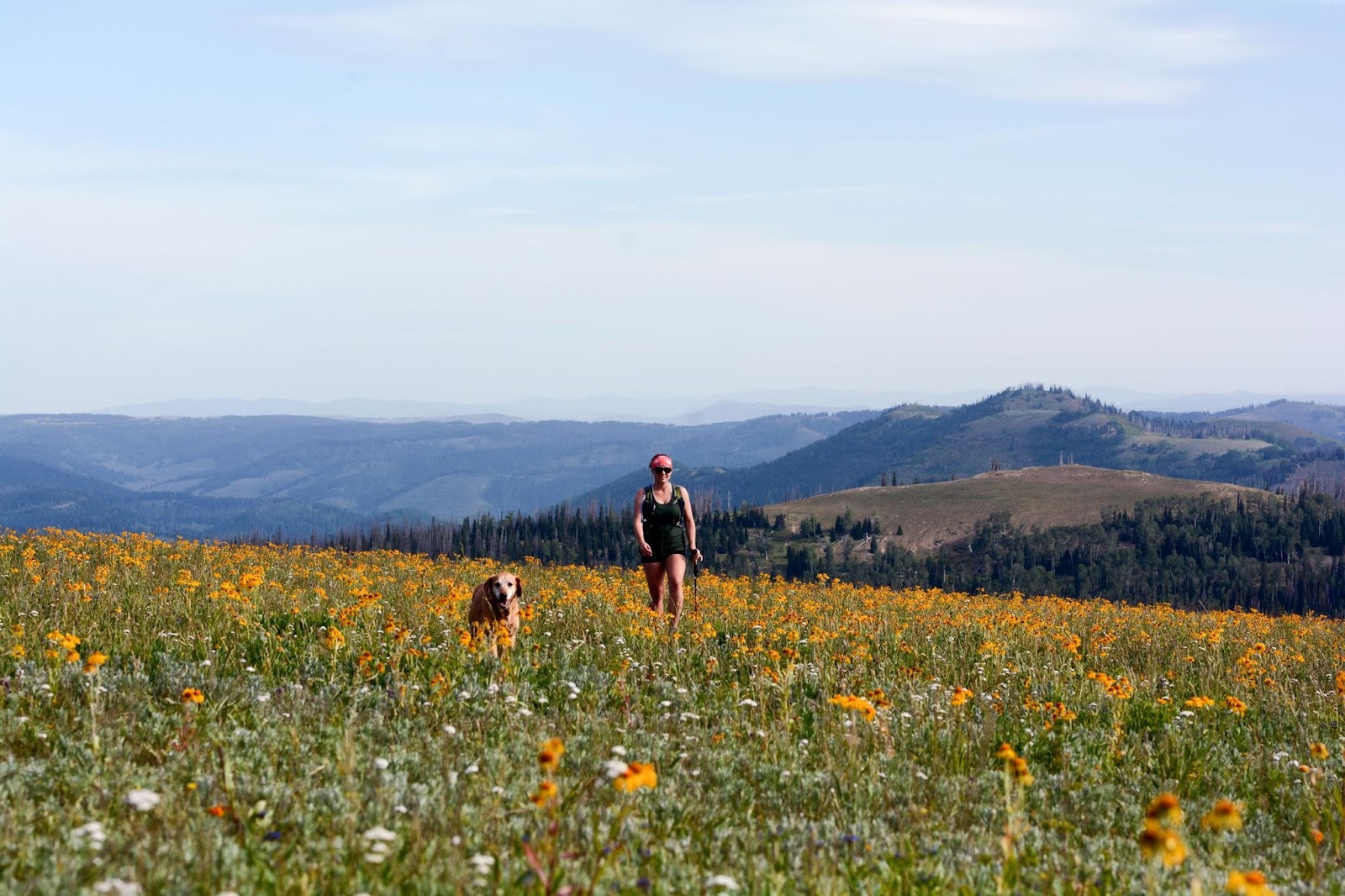
Charlie and I make our way up through the flower field. This was my favorite part of the entire hike!
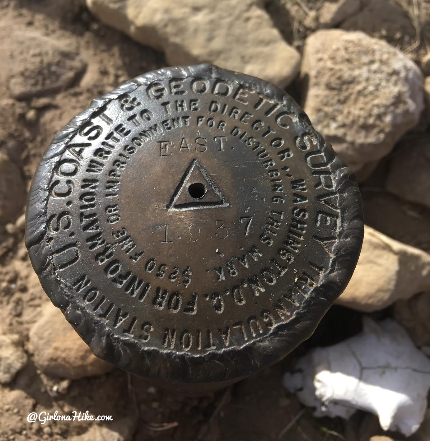
We reached the summit in 1.5 hours exactly.
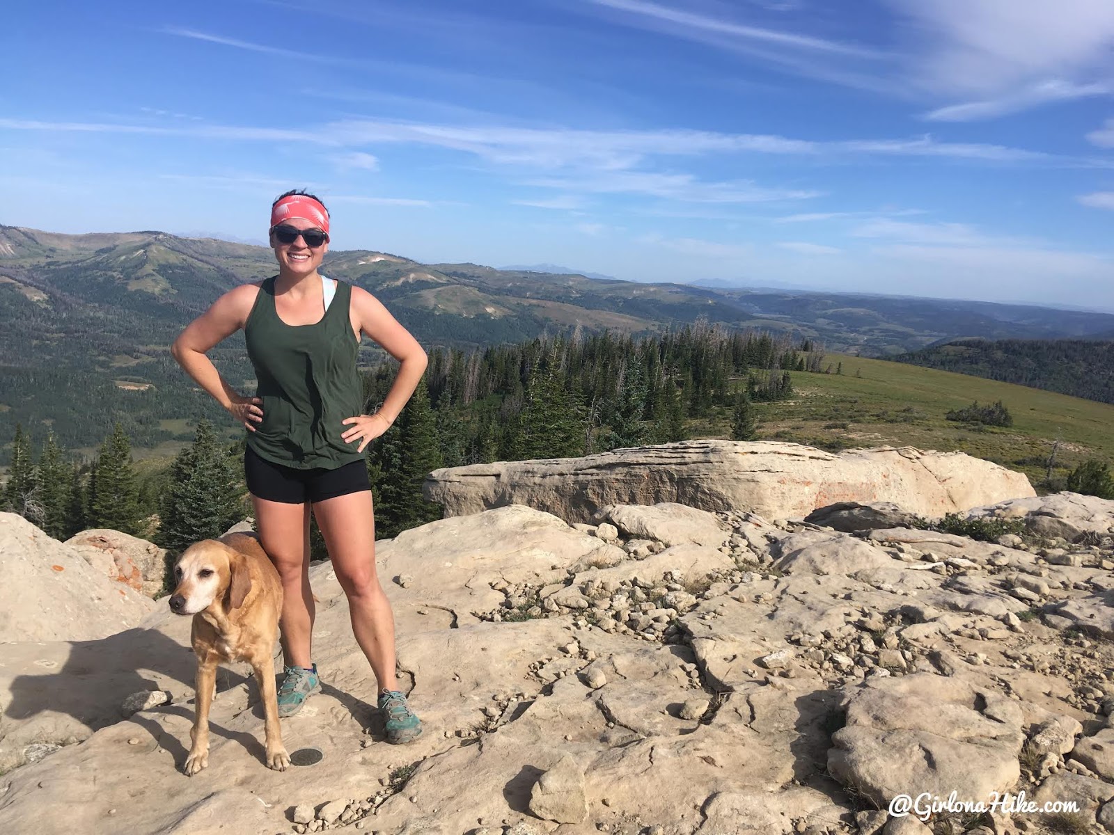
East Mountain! The wind was really strong up here, so strong that it made it feel much cooler and we put our long sleeve shirts on and hung out off the summit to stay warmer.
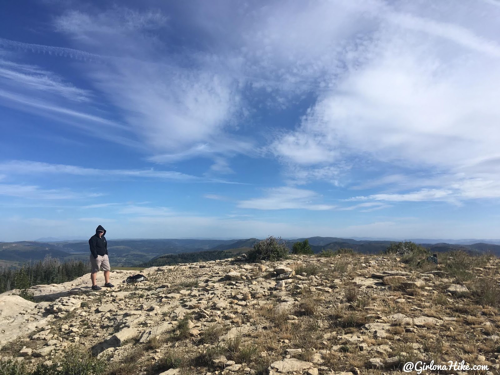
We walked around the summit in search of the register but didn’t find one. If someone hikes this in the future, it would be nice to have a small summit register with a pad of paper and pen!
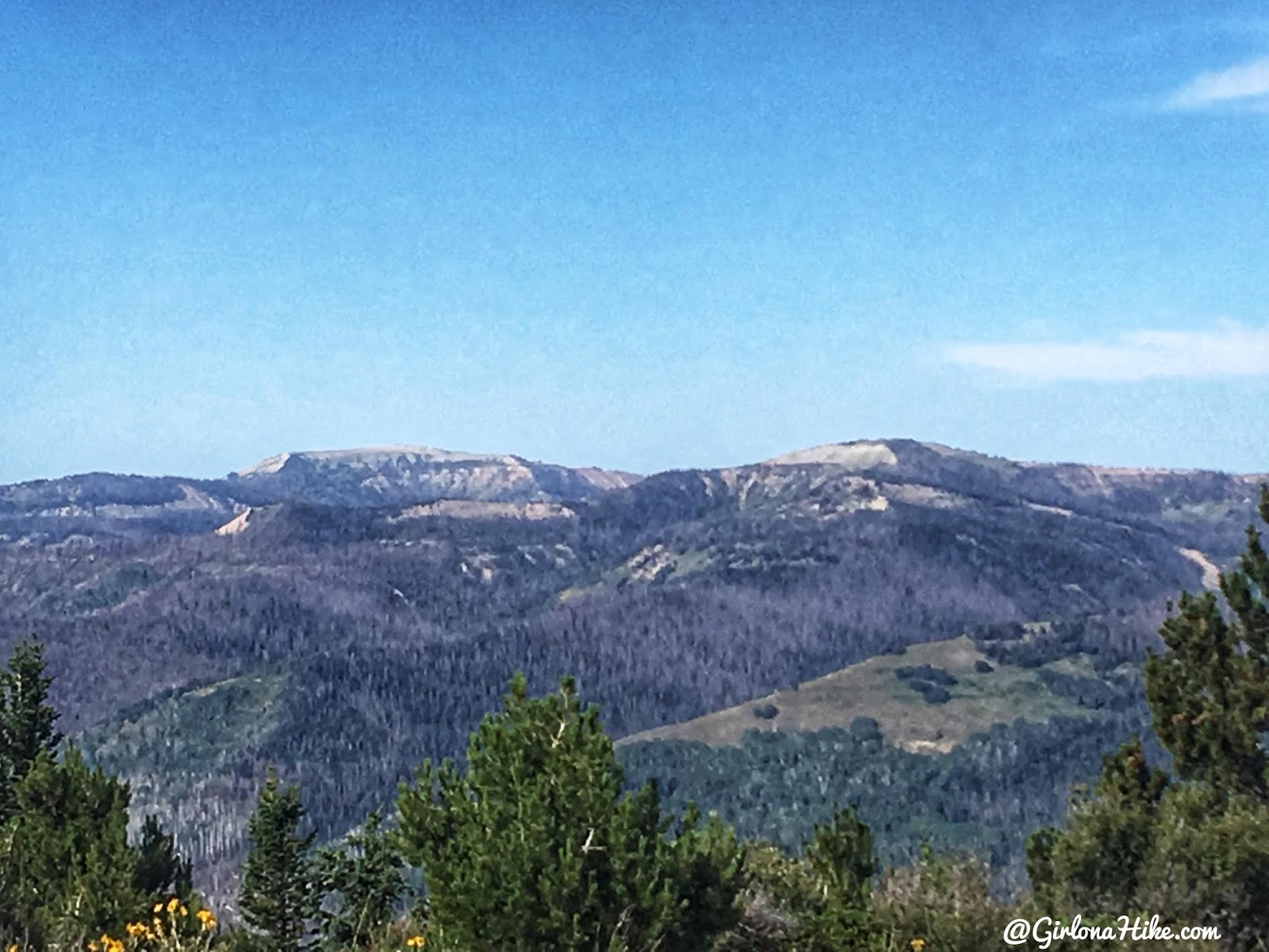
Whoa, super cool that we could see South & North Tent Mountain from here (the Sanpete County High Point)!
If I were to do this hike again
Next time I would start hiking at the Scad Valley TH located at GPS: 39.48934, -111.24007. It would shave off about 20-30 minutes of driving to the other, more popular trailhead. Its the same distance, and only adds about 500 ft elevation gain. There’s really no point in starting from the main TH since its the same distance, plus you’ll waste less gas.
Trail Map
My track via Gaia GPS – the best tracking app! Get your app here for a discount.
Nearby Hike
Hiking to South Tent Mountain, Sanpete County High Point


Save me on Pinterest!


