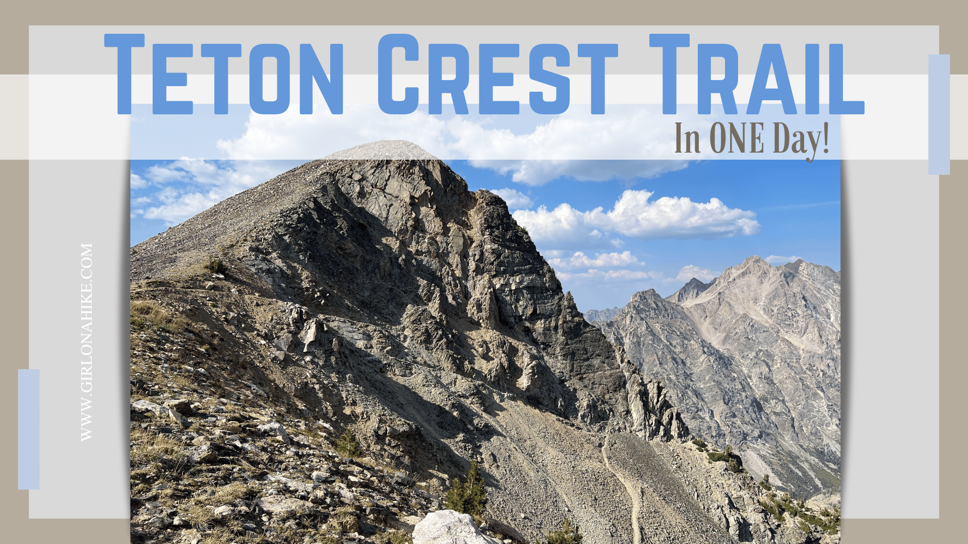
The Teton Crest Trail is a 40-mile point-to-point, high-alpine route in Grand Teton National Park, Wyoming. It is known for its stunning views of the Teton Range, alpine lakes, meadows, and wildlife. The trail offers a challenging adventure, crossing mountain passes and offering spectacular views of iconic peaks like the Grand Teton, Middle Teton, and South Teton.
About
Considered one of the most beautiful backpacking trails in the U.S., offering a blend of solitude, natural beauty, and challenging terrain, the Teton Crest Trail (TCT) is a hiker, runner, and backpacker’s dream route! Most people take 3-4 days to backpack this route, which requires hard-to-get permits. However, many ultra runners do this in one day and that was my goal.
I had trained specifically for this route for 6 months but it had been on my mind for roughly two years. I remember friends backpacking this thinking how pretty it looked. Then I saw people running it in ONE day, and I wanted to do that. But, I had to work up to 40 miles. In 2021 I ran to Red Castle in one day (25 miles RT), then in 2023 I ran the Bryce Canyon 50k. Finally, for 2024, the Teton Crest Trail was in sight. I knew I had to do it!
My goal time for this was to come in under 16 hours, and I did it in 15 hours. My thought the entire time was “just do the best you can do” and I made it happen! For comparison, the fastest known time (FKT) is 6.5 hours, and I’ve also heard of it taking people closer to 20 hours. It really depends on your training, fitness level, and experience!
Directions
Most day runners/hikers do the Teton Crest Trail south to north.
Starting point will be the Phillips Bench / Ski Lake TH
Ending point will be the String Lake TH
Trail Info
Distance: 40.5 miles
Elevation gain: 9,000 ft
Time: 10-20 hours
Dog friendly? No, dogs are not allowed on the TCT
Kid friendly? No
Fees/Permits? None for day running/hiking (yes for backpacking overnight)
FAQs
When is the best time to hike/run the Teton Crest Trail?
The best time to hike the Teton Crest Trail is between July and September, when the snow has melted from the high passes, and the weather is generally more stable. I did this after Labor Day so I would see less people and have cooler temperatures. That also meant I had to hike the first 2.5 hours in complete darkness – not my favorite.
Should I do South to North or North to South?
The Teton Crest Trail is typically hiked south to north, and this direction is generally preferred by most runners. Here are some reasons why:
Why Hike South to North:
- Elevation Gain: Starting from the south, you typically begin your hike at a higher elevation. This gives you a significant head start on elevation and allows you to descend into the more gradual sections of the trail.
- Views: Hiking south to north allows you to have the Teton Range in front of you for much of the hike. The northward route provides better panoramic views of the Grand Teton, Middle Teton, and other dramatic peaks, making the scenery more rewarding as you go.
- Gradual Difficulty: The trail builds in intensity as you hike northward. Starting in the south offers a more gradual introduction to the trail’s challenges, leading up to the more dramatic and difficult sections like Paintbrush Divide toward the end.
North to South Considerations:
Some hikers do choose to hike north to south, but this direction is less common. Here are some reasons you might consider this route:
1. Challenge: Starting in the north means you’ll tackle some of the harder sections, like Paintbrush Divide, earlier in the hike. This can be advantageous if you want to get the toughest climbs out of the way when you’re fresh.
2. Logistics: Your starting and ending trailheads may be more conveniently located depending on your transportation plans. For example, if you’re staying near the northern side of the park, starting from Jenny Lake might be more convenient.
Summary
South to North: Preferred for easier elevation gain, scenic views, and better buildup of difficulty.
North to South: Less common, but a good option for logistics
Overall, south to north is the classic route and generally offers a more rewarding hiking experience in terms of views and pacing.

Are there any transportation services?
Since my partner came with me, he dropped me off and picked me up. However, if you don’t have any support you can opt for a transportation service from a local company like Teton Mountain Taxi. I haven’t personally ever used them so you’ll need to call to find out rates, timing, pickup locations, etc. The downside to using a service is that if you needed to bail early and end at a different trailhead, you may not be close to your car or have cell service to call an Uber. I highly recommend having a friend come along to be your support crew/driver!
What are the water sources like?
You can filter water from flowing streams, springs, or lakes. You’re never too far away from water – the longest I stretch I did without seeing any water was roughly 4 miles (from Lake Solitude up and over to Paintbrush Canyon). You must carry a water filter. I use the MSR Hyperflow.
Is there cell service?
No, make sure you have a satellite communicator like ZOLEO or a Garmin. I actually brought both. I used my own ZOLEO to communicate and text my partner updates. And because I don’t own a Garmin, I borrowed a friends so I could share the tracking link with my partner so he could see where I was. There are pros and cons to each ZOLEO and Garmin, but make sure you have something similar to do what you need.
Which part was my favorite?
Running down from Hurricane Pass and seeing the Schoolhouse Glacier and lake was my favorite! It’s also the first time you have the best view of the Grand and Middle Teton peaks. The view down into Upper Cascade Canyon was stunning. I loved it!
Which part was the hardest?
The climb up from Lake Solitude to Paintbrush Divide was the hardest for me because at that point I was 30 miles in, and doing the longest climb exposed in the heat of the day around 3pm. It was sooo hot!
What gear did I carry?
Mainly food (honey stinger waffles, Uncrustables PB&J, applesauce packets, jerky, jelly beans, & protein bars), 1.5 L bladder and one 500ml bottle for electrolytes, water filter, ZOLEO, Garmin, bear spray, bear bell, hat, sunglasses, 1 trekking pole, sun gloves, gopro, Pee cloth, kleenex, charging stick for my phone, and my Noxgear 39g Bluetooth speaker.
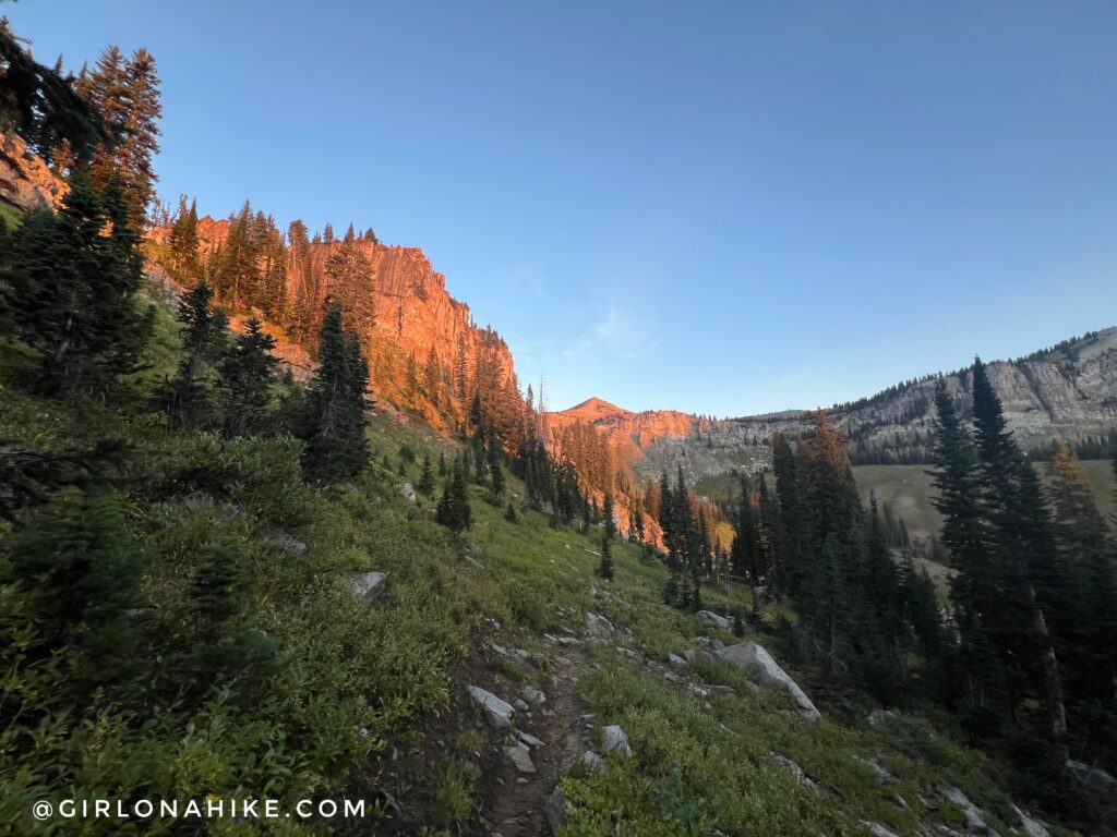
Because I started from the Phillips Bench / Ski Lake TH, I didn’t have any daylight for the first 2.5 hours, just before Marion Lake.
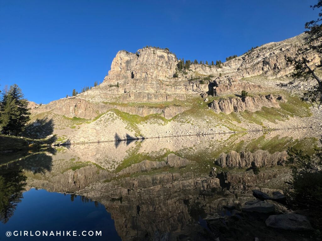
Arriving at Marion Lake I was roughly 10 miles in and needed to filter more water so I took about a 10 minute break here.
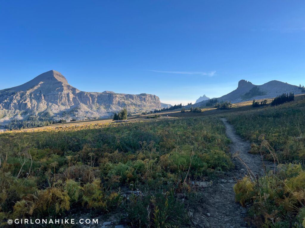
Making my way towards Fossil Peak and Fox Pass.
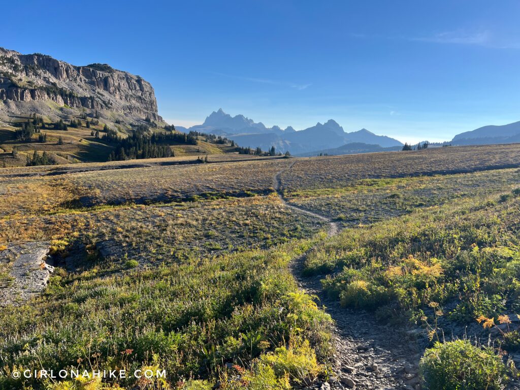
Wow what a gorgeous morning! Even in Early September it was getting hot by 9am. The Tetons seemed so far away!
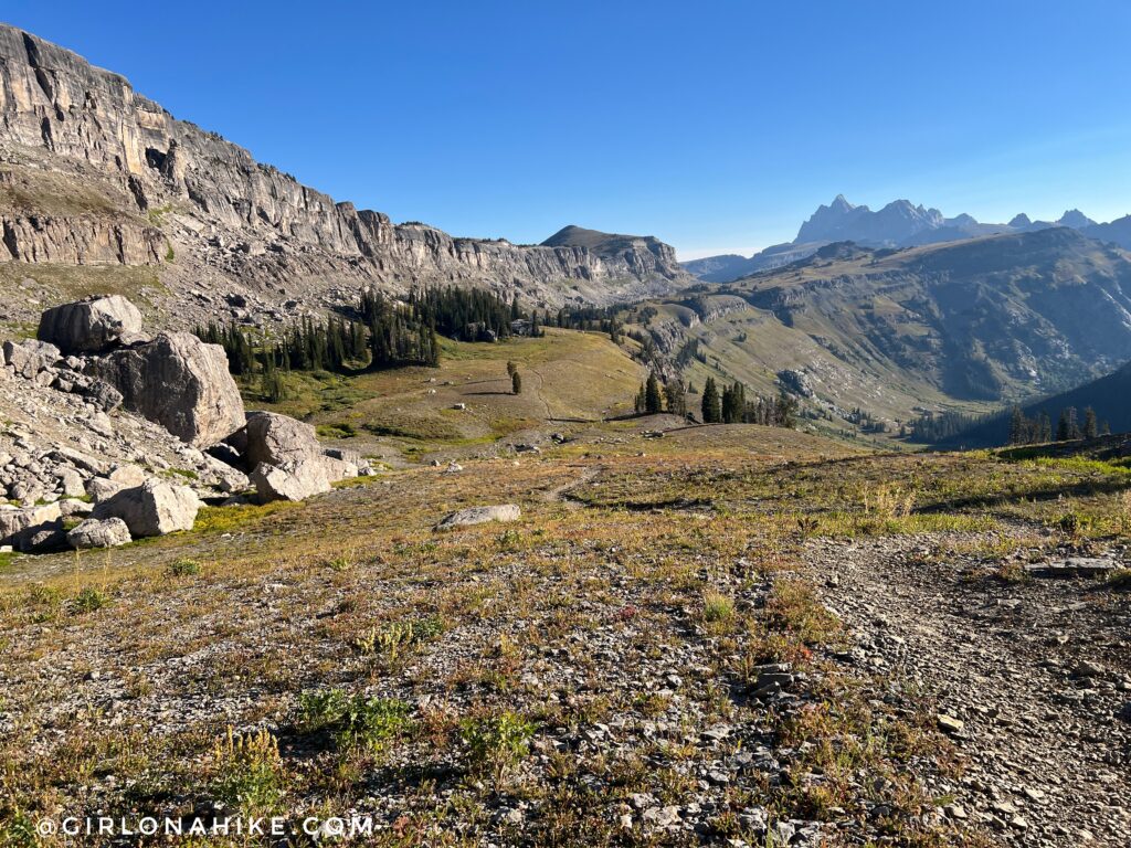
The Death Canyon Shelf was beautiful and perfect for running.
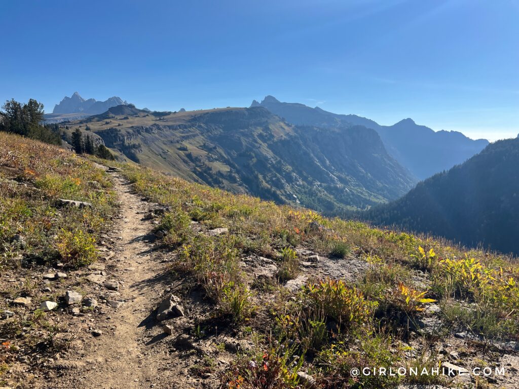
On Death Canyon Shelf with a view into Death Canyon itself.
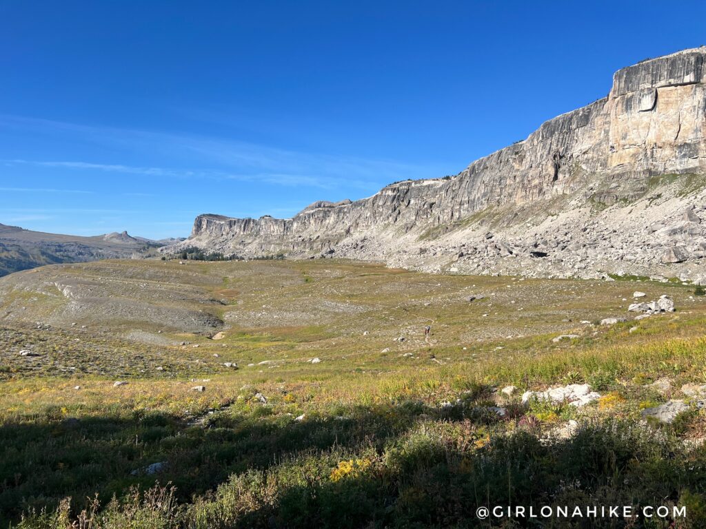
Looking back at where I came from. So cool!
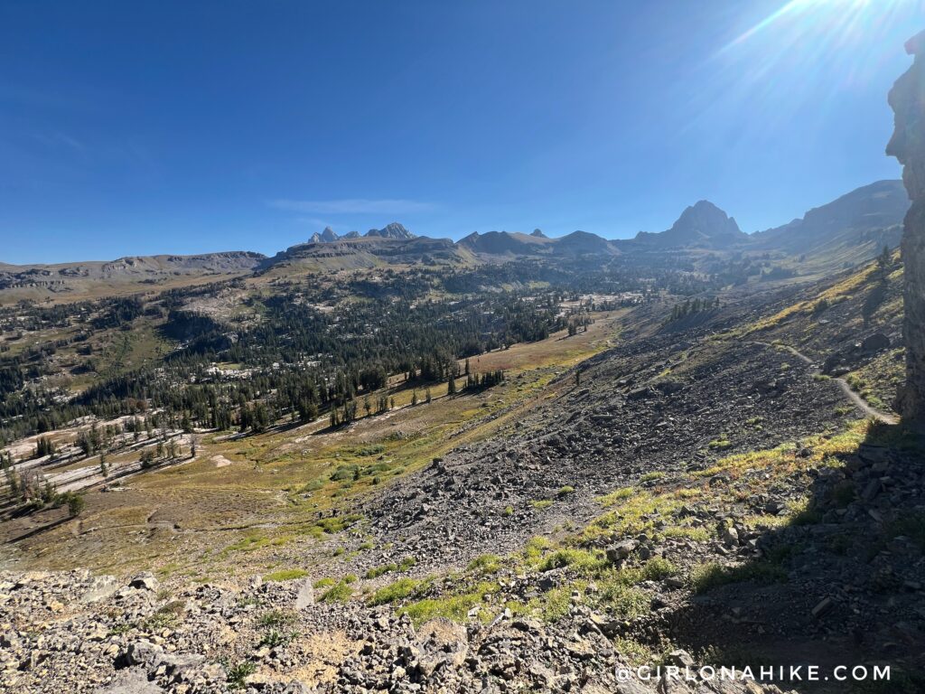
Next it was time to drop into Alaska Basin. I was super excited to be here again, after I ran this entire canyon in one day back in 2022. On that day, I went up to Buck Mountain Pass.
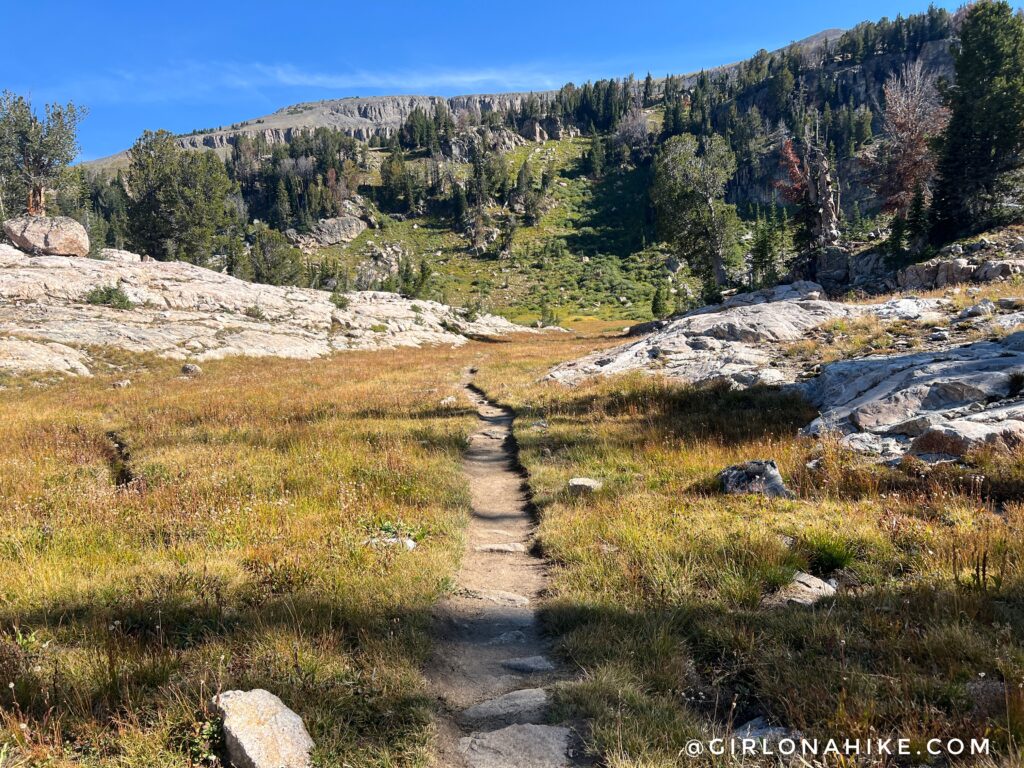
One of the few flat parts in Alaska Basin before another short climb.
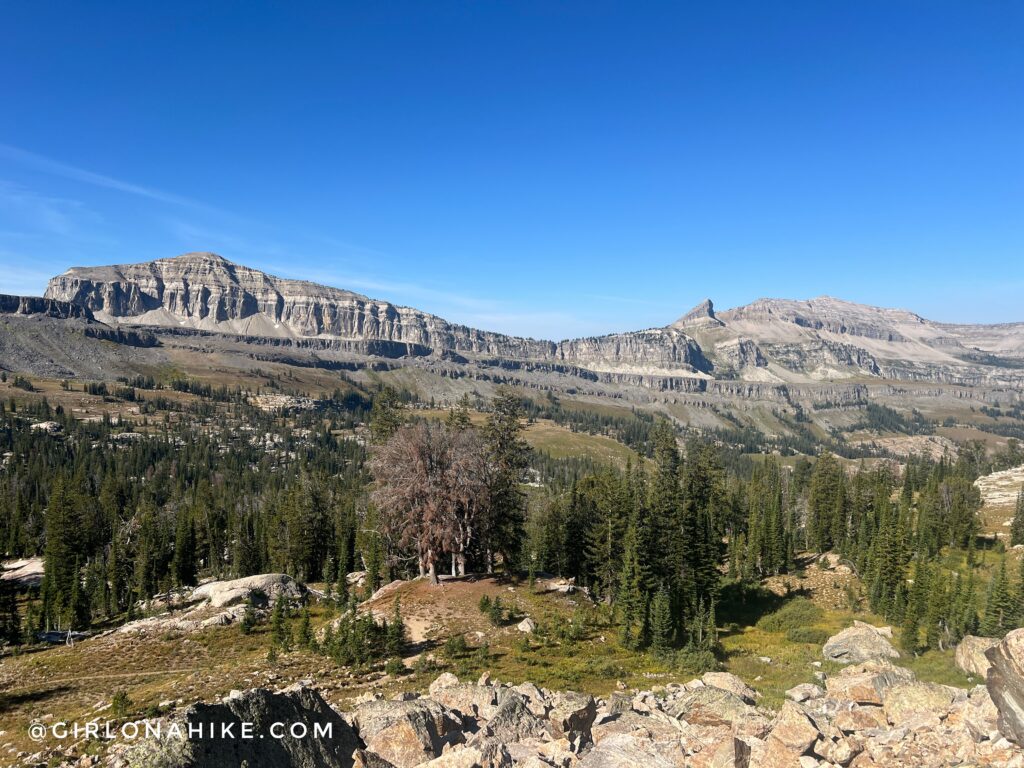
Looking over to the Devil’s Staircase and across the valley where I ran from.
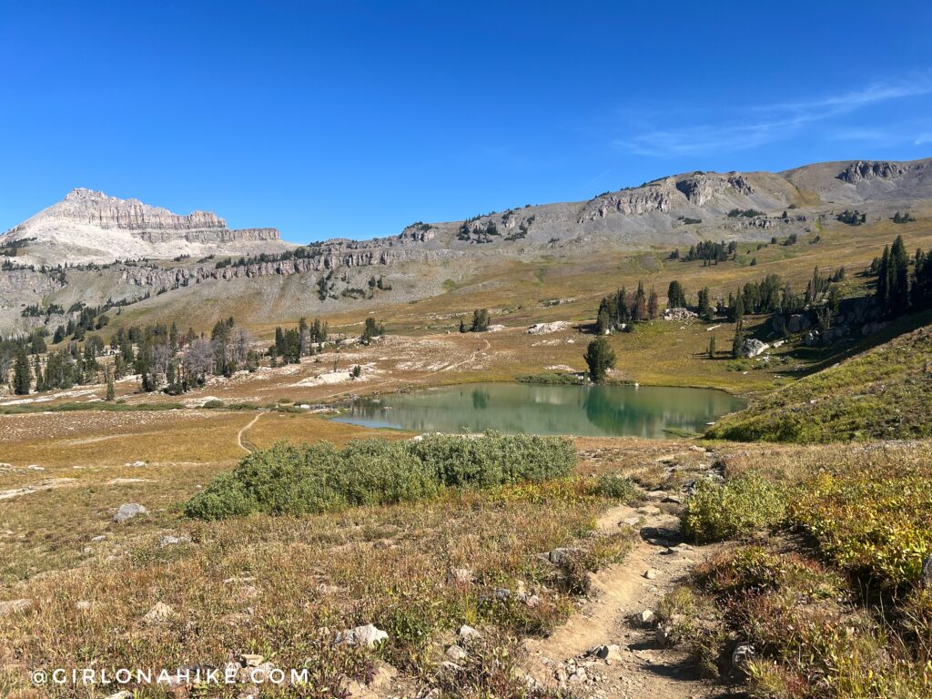
Now at Sunset Lake, it was time to filter water again. When I did Alaska Basin before, I had also come over to this lake so it was nice to see it again.
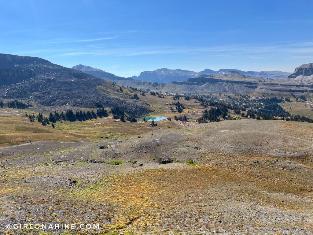
Climbing up towards Hurricane Pass (still another mile to go), and looking back down to Sunset Lake. Beautiful!
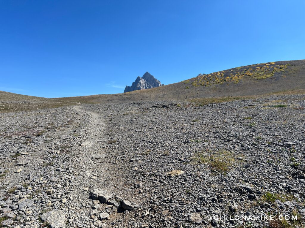
The climb up from Sunset Lake to Hurricane Pass was harder than I thought it was going to be. So steep and long! But seeing the Grand Teton made me want to keep pushing.
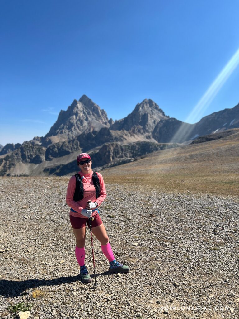
When I reached Hurricane Pass there were probably 8-10 people there – perfect to ask someone to grab a picture for me!
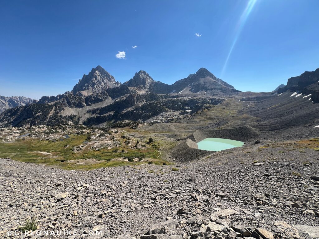
Ahh my favorite view of the entire Teton Crest Trail! Dropping down from Hurricane Pass and seeing this glacial lake was the best! I had been wanting to see this lake forever.
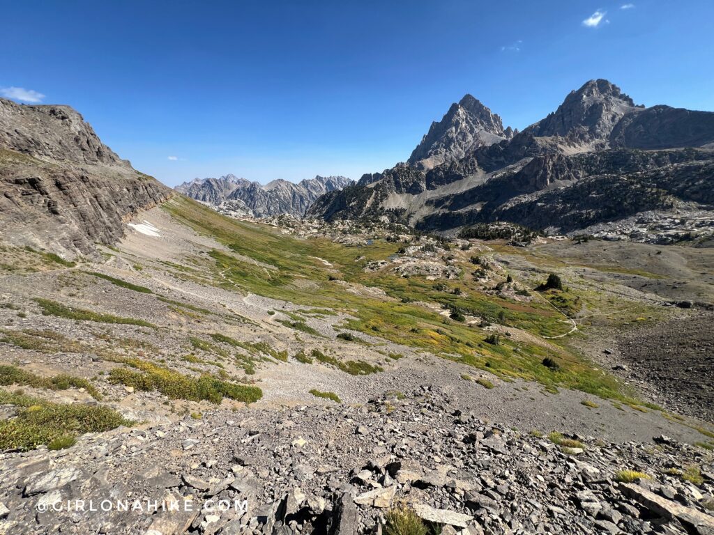
Upper Cascade Canyon was gorgeous as well – the striking peaks and high alpine terrain were just amazing!
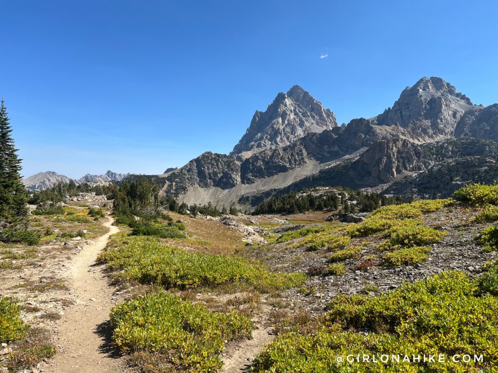 Ahh a little flat section always feels so nice on the legs.
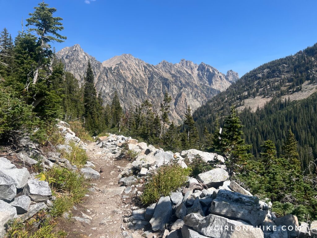
Now I really started to descend into Cascade Canyon! I was able to run most of the trail from Hurricane Pass to the base of Cascade.
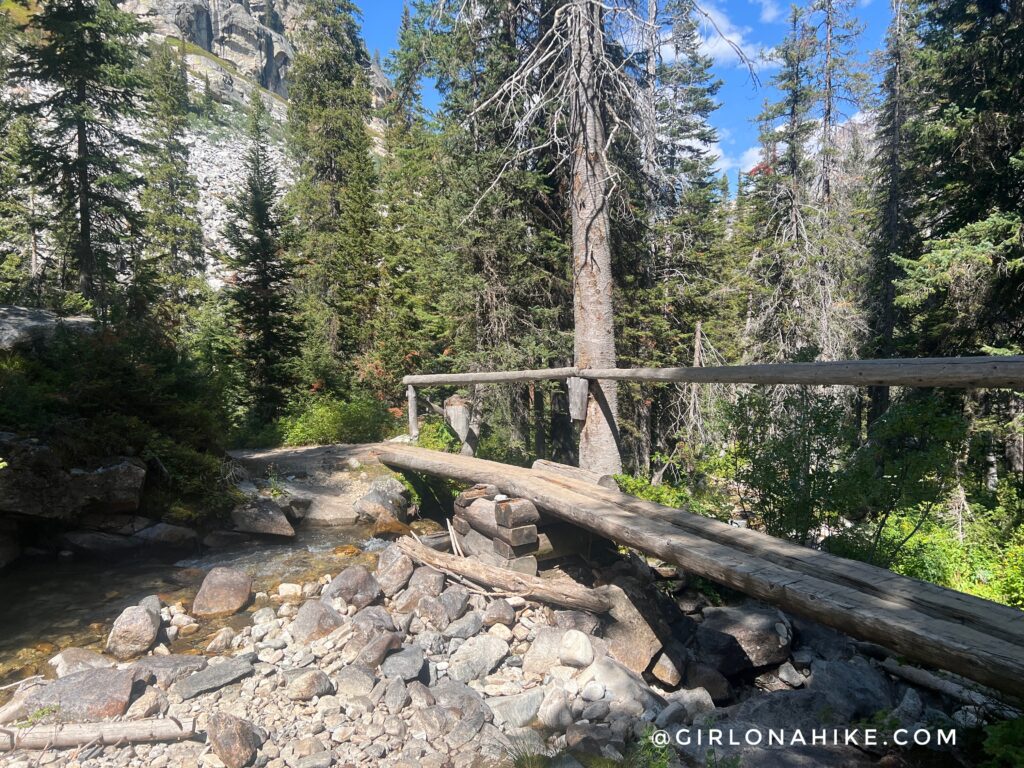
A few bridges and a more forested section was in view now.
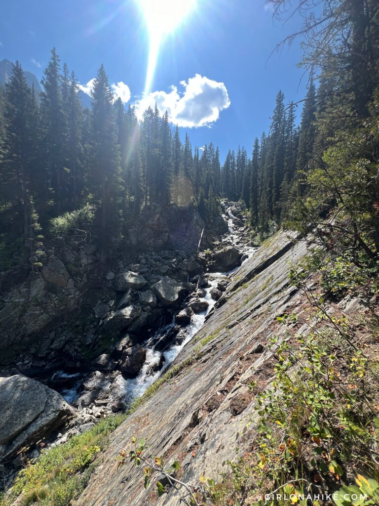
I also passed many cascading streams and waterfalls.
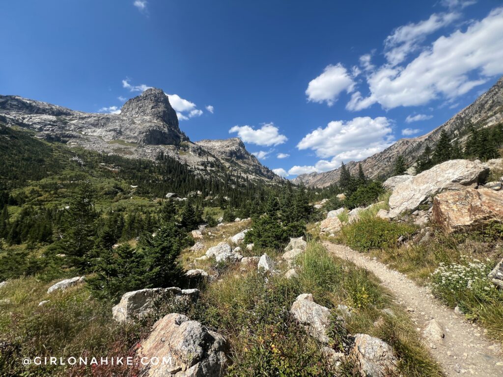
But now it was time to make my way towards Lake Solitude. Time for more climbing!
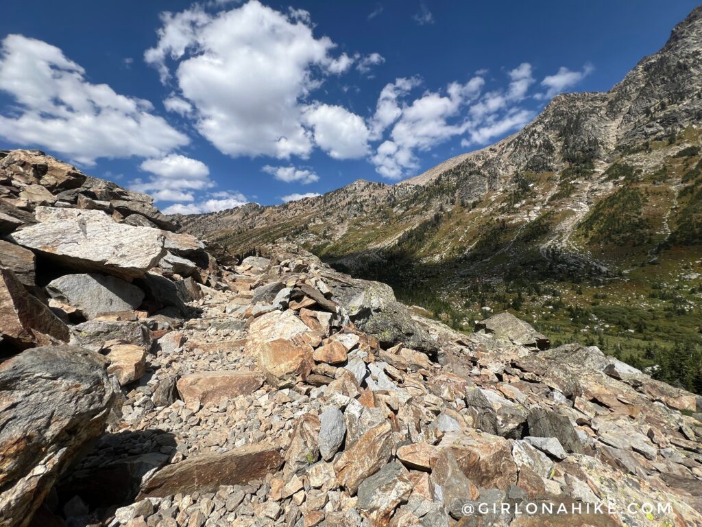
This section of trail had the most people I had seen all day – probably 50 people in 2 miles. Hiking to Lake Solitude is one of the most popular day hikes so it made sense to see that many hikers. This section also had the most “stairs”.
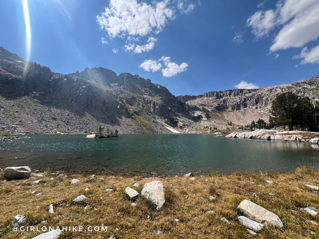
Quick stop for a picture at Lake Solitude. Unfortunately, I didn’t spend any time here, I knew what was ahead of me and I couldn’t waste any time.
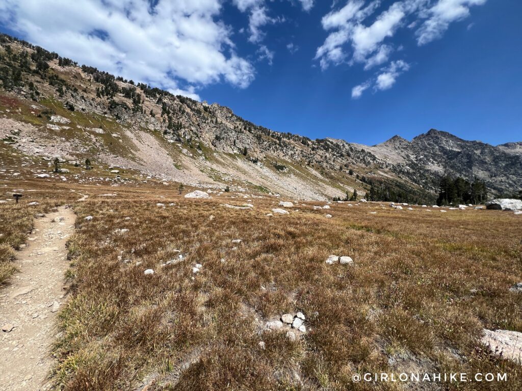
You can barely make out where the trail is in this picture but you follow a very long switchback for roughly 2.2 miles. It’s totally exposed and very hot!
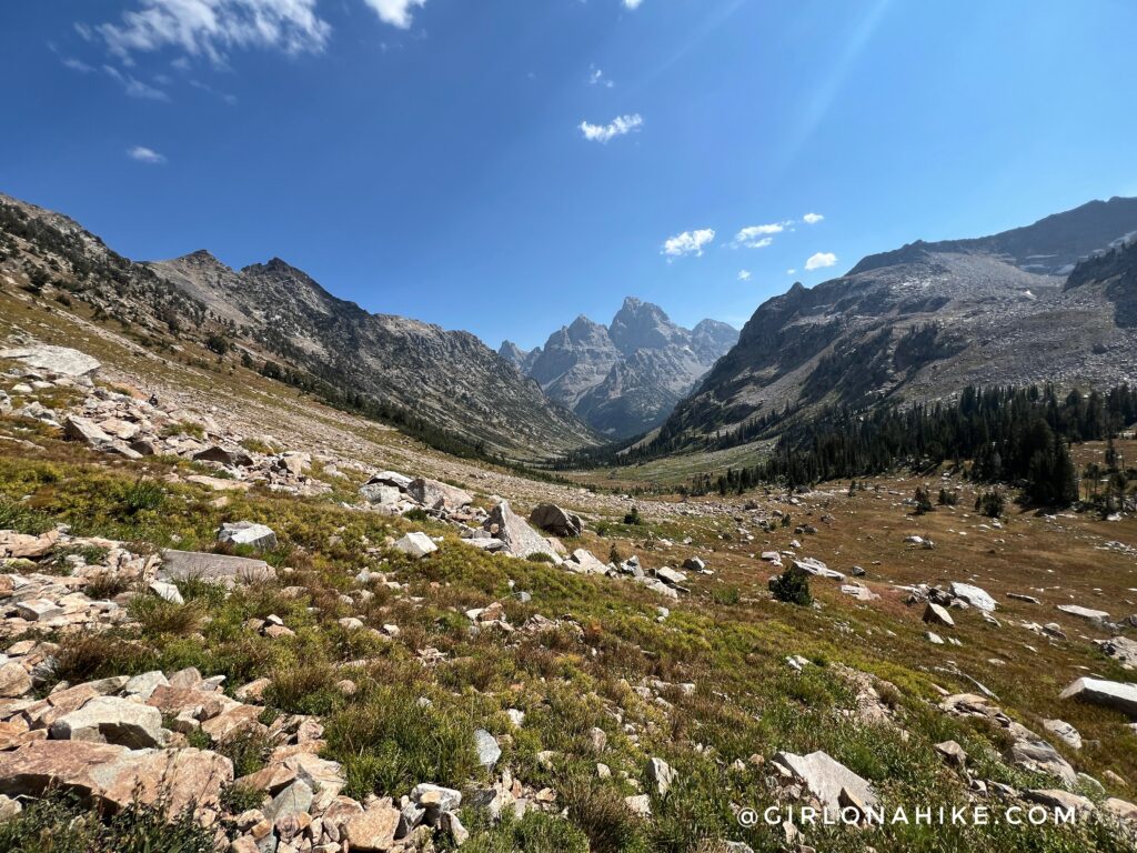
Ok wow, was not expecting this view on the switchback!
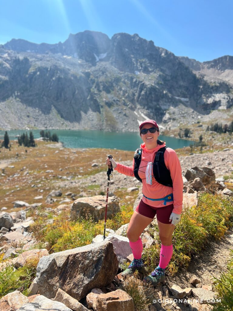
Yay another random hiker willing to take my picture haha!
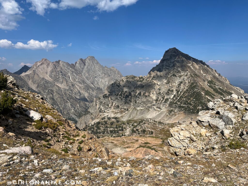
And finally, I was at Paintbrush Divide. Another stunning overlook on the Teton Crest Trail. It was literally all downhill from here to the car!
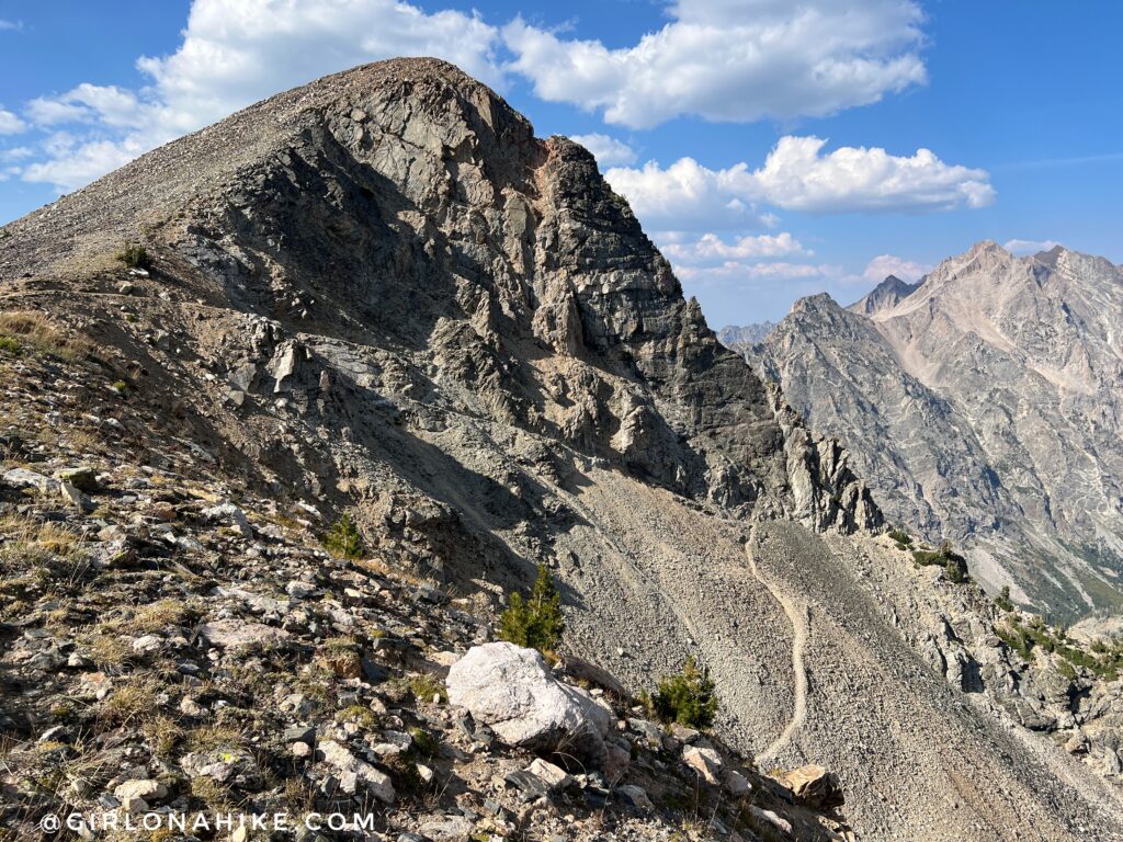
I saw the trail drop and thought, “well that looks sketchy!” And it wasn’t, it just looks worse than it is!
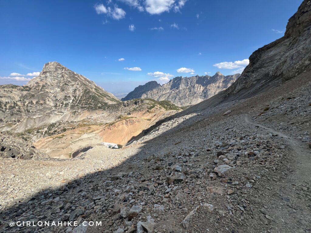
Ahh the views just kept getting better! This is why I highly recommend doing the Teton Crest Trail south to north. Amazing!
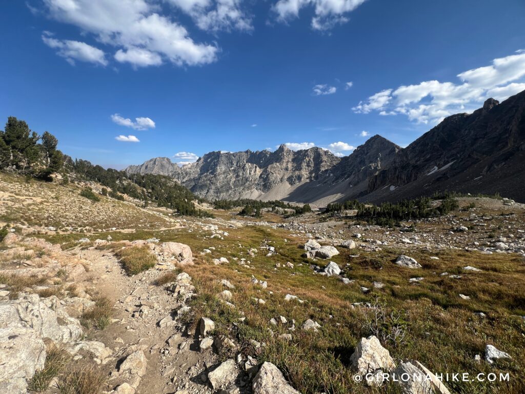
Paintbrush Canyon was so pretty – I liked this even better than Cascade Canyon.
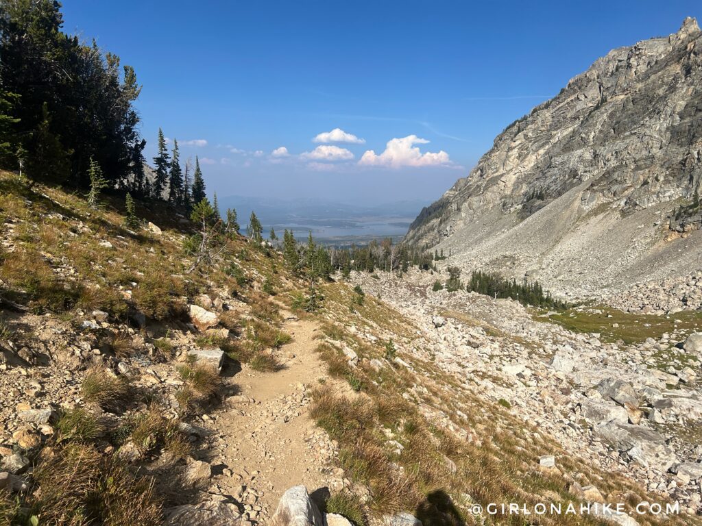
I could finally see the lakes and knew I was close to being done.
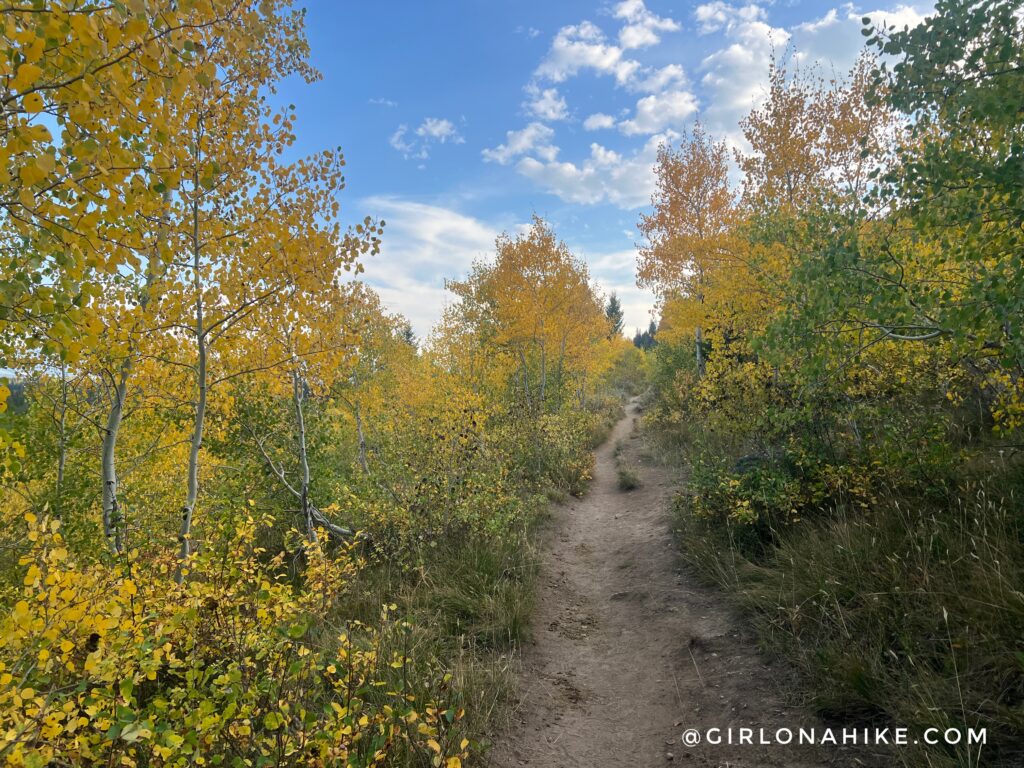
The last 4 miles was very forested and I even lucked out with some early Fall colors!
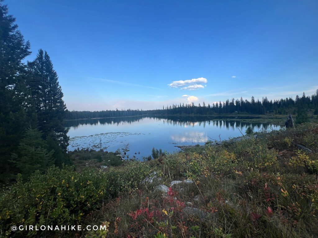
Lastly, String Lake was in view and I was only 1.5 miles away from being done.
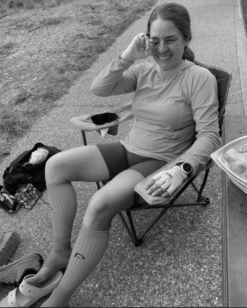
DONE! 40.5 miles, with 9k vert, in 15 hours on the Teton Crest Trail. What a day! Running the TCT in a day is an experience I’ll never forget!
Super grateful for my body allowing me to push myself like that, and very thankful for my partner who supported me through all my training and on the big day!
Check out my video!
Trail Map
My track via Gaia GPS – the best tracking app! Get your app here for a discount.
Nearby Hike

Save me on Pinterest!
