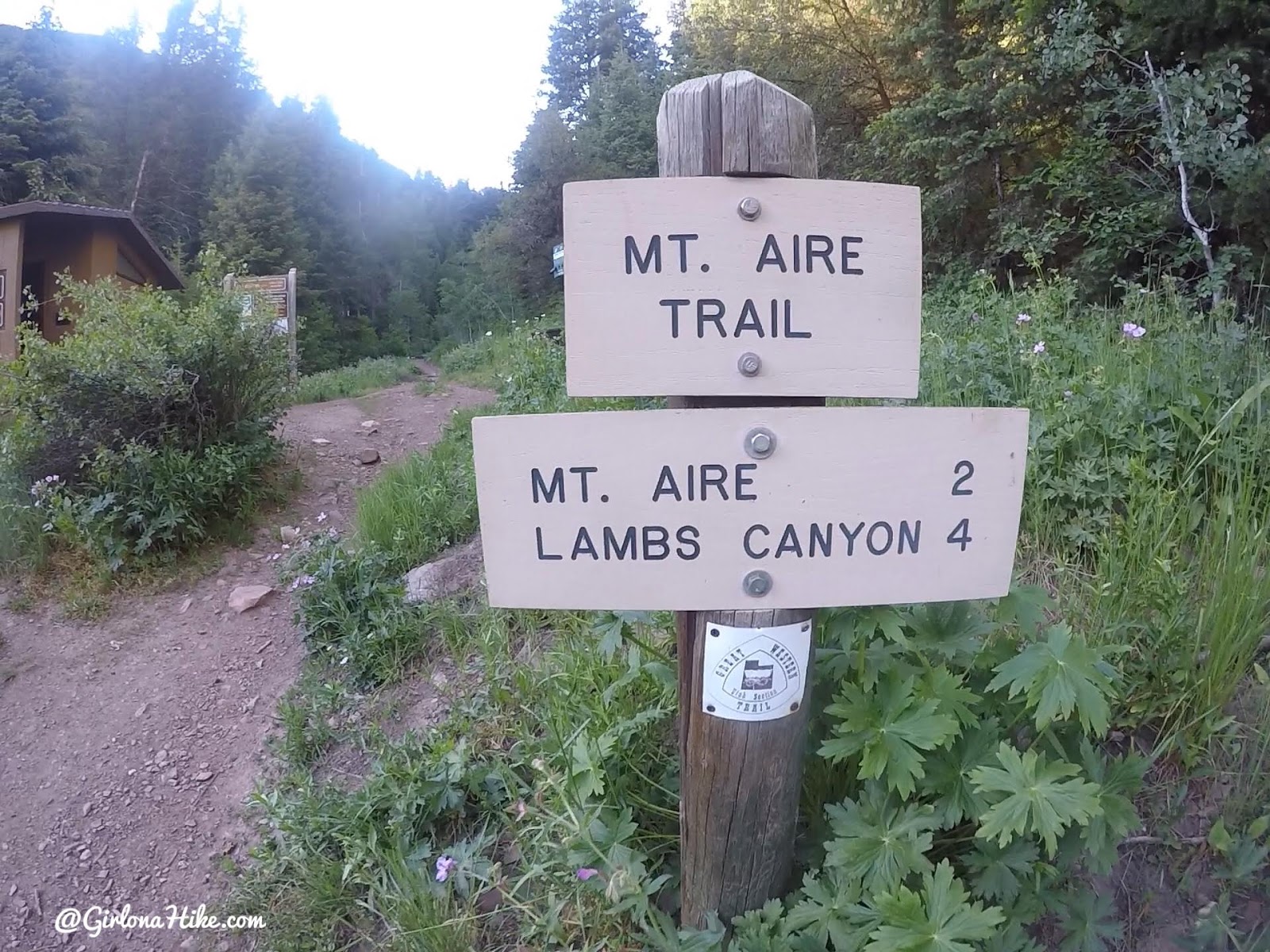
Directions
From SLC, drive south on I-215 and take exit 4 for 3900 South, and turn left at the bottom of the ramp. Turn left at the next light for Wasatch Blvd, then turn right at the next light for Millcreek Canyon. Drive 6.1 mile up the canyon until you reach Elbow Fork. This is the TH for Mt. Aire. Parking is limited. One restroom is available.
Trail Info
Distance: 4 miles RT
Elevation gain: 2,000 ft
Time: 2-3 hours
Dog friendly? Yes, off leash on ODD days. Dogs must be leashed on EVEN days.
Kid friendly? Yes
Fees/Permits? There is a $5 fee upon exit, or FREE if you buy the Annual Millcreek Pass ($50). Millcreek Canyon does NOT accept the National Park Pass, American Fork Pass, nor the Mirror Lake Highway pass. No permit is required to hike this trail.
The trail begins by heading North from the parking area.
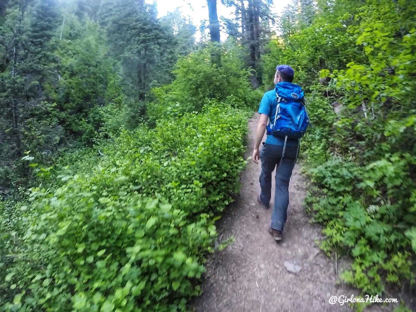
Immediately surrounded by green!
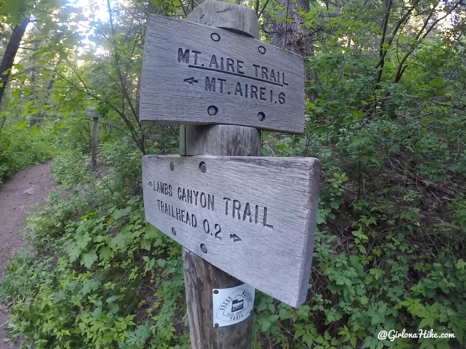
At the first trail split, stay left. The dogs are going right here, but they ran back to catch up with us.
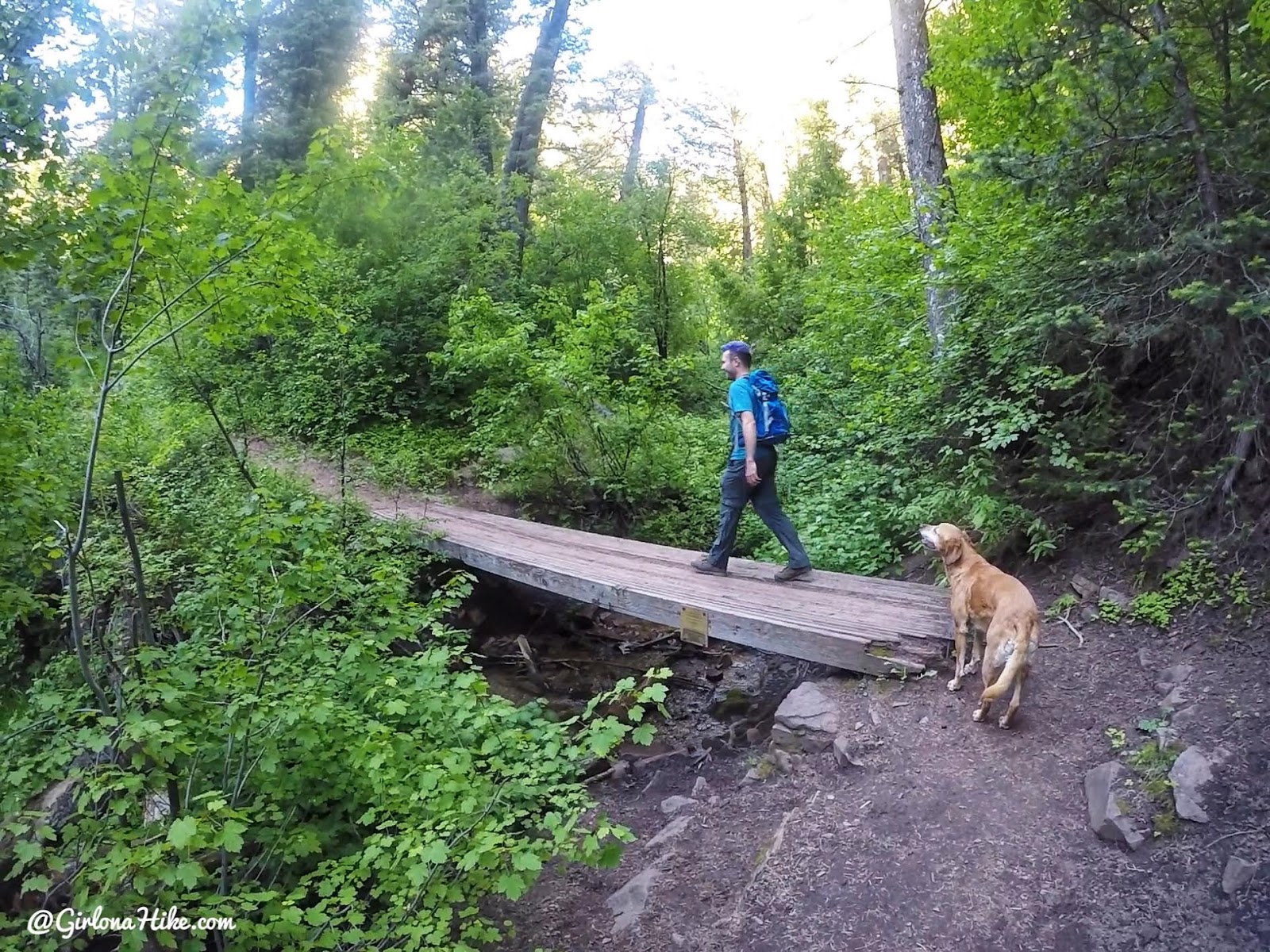
Cross the first bridge, and in another 5 minutes you’ll cross a 2nd bridge. It’s nice to take the dogs on this trail since there is a stream that runs year round. Always carry water for them in case it is dry.
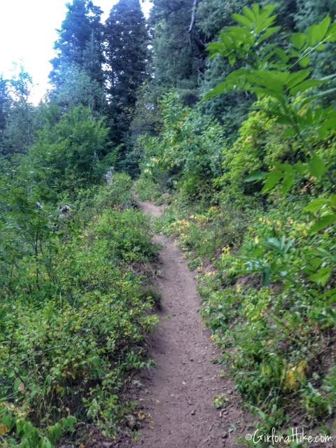
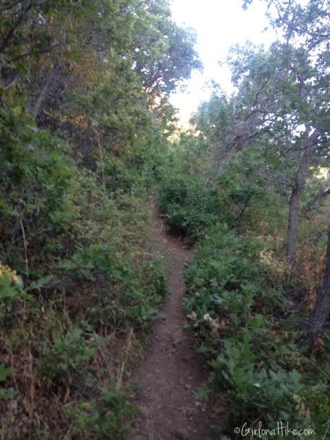
The trail is very well shaded, but steep.
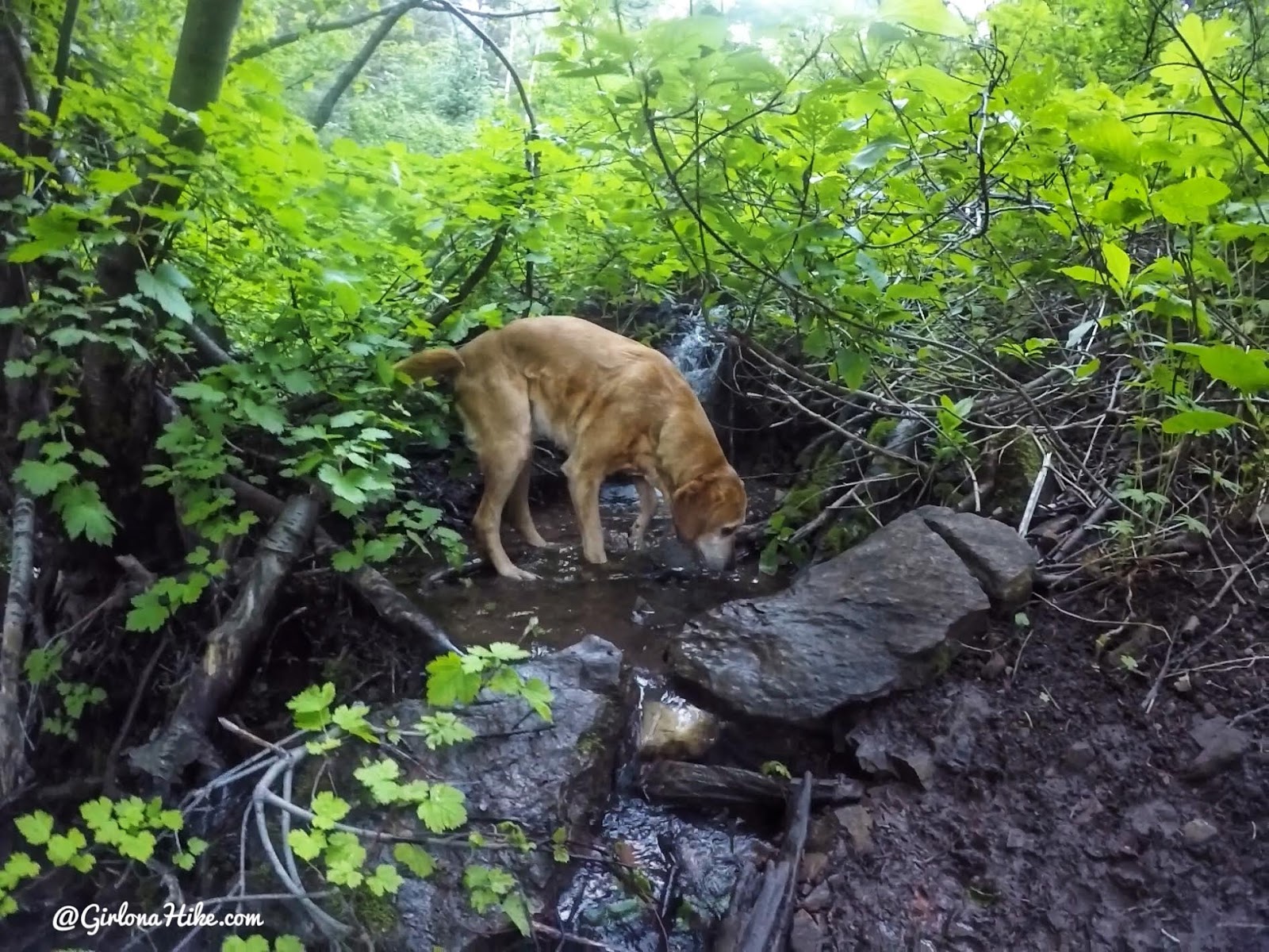
A watering hole for the pups.
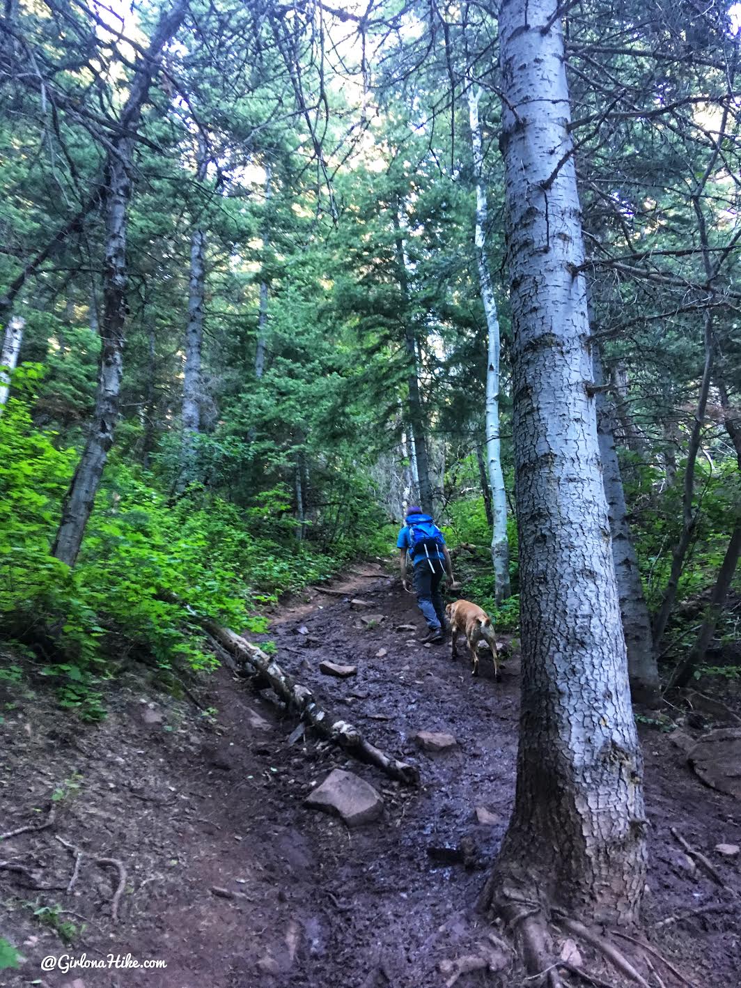
Working our way up the really steep sections.
We made it to the ridge in about 30-40 minutes.
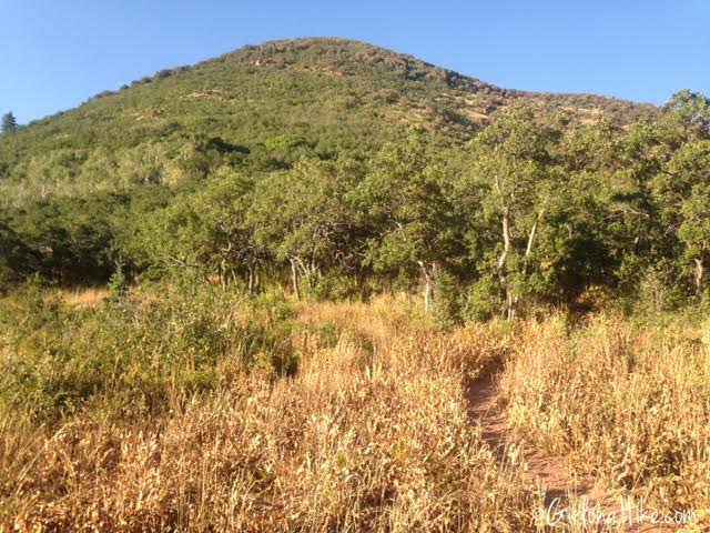
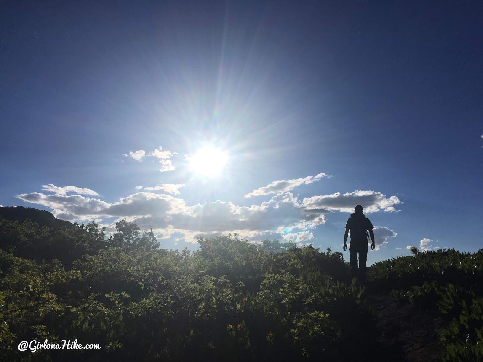
Once on the ridge, turn right (North). You can’t quite see the summit yet, but you’ll hike up about 3 long switchbacks up this hill on the south facing side.
As you hike up the switchbacks, you’ll notice the trees have changed to scrub oak. I recommend wearing pants to keep your legs from getting scratched up.
Getting higher on the switchbacks, you can see the pass to the bottom right where you just hiked up from, and across the canyon to Gobblers Knob (the high point on the left), and Mt. Raymond (the high point on the right).
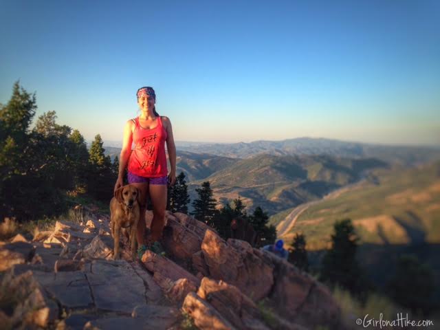
We made it to the summit in 1 hour 10 minutes.
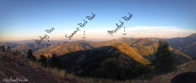
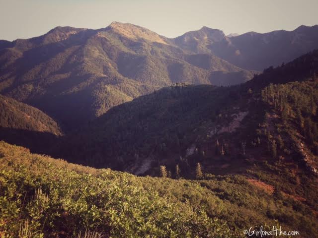
From Mt. Aire, you have a great view of surrounding peaks, including Summit Park Peak and Murdock Peak.
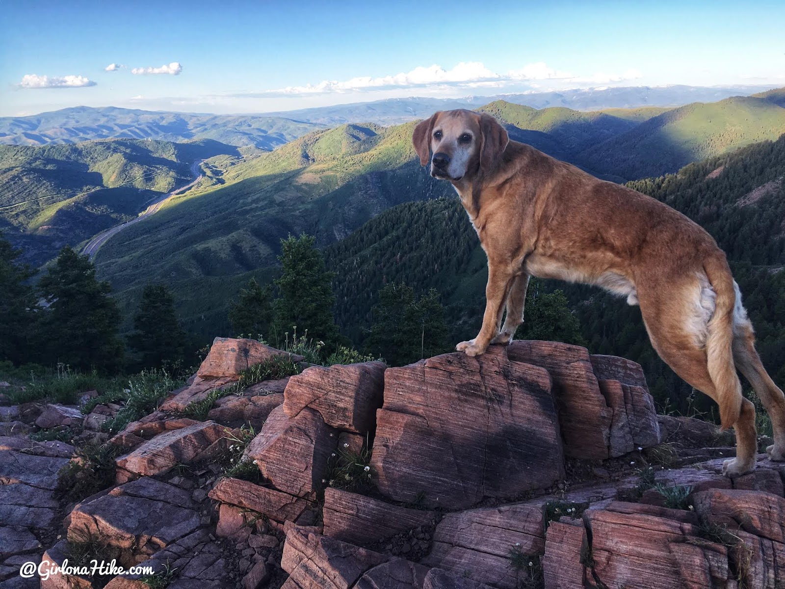
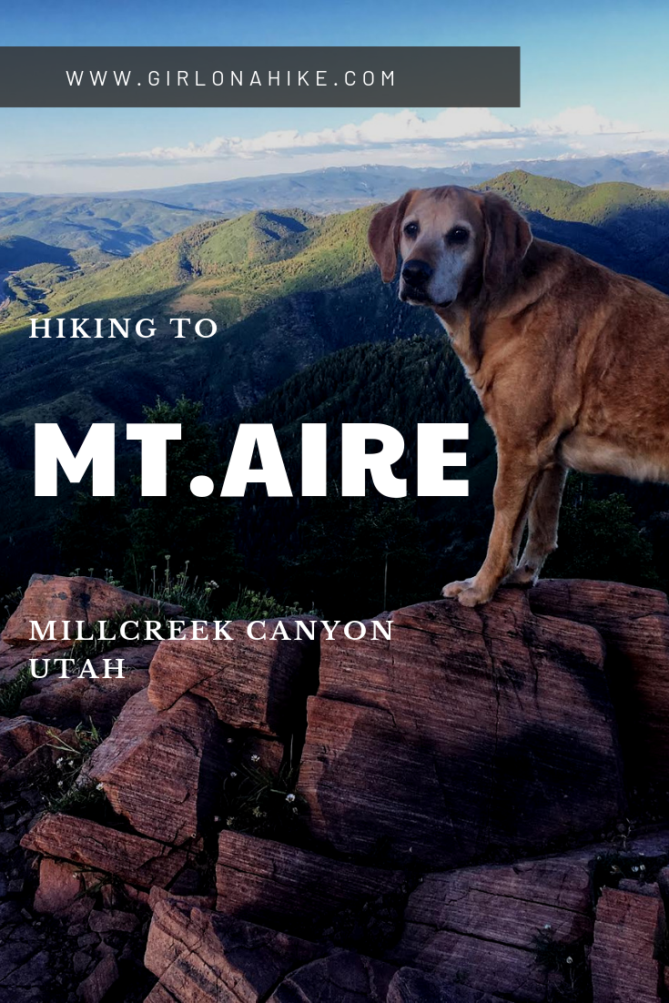
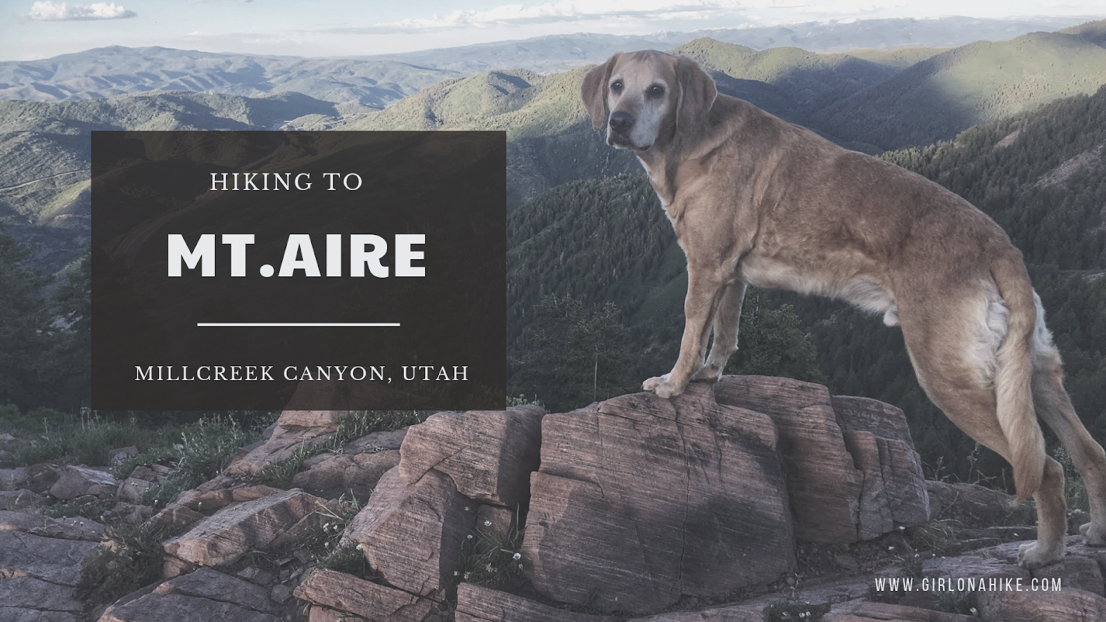
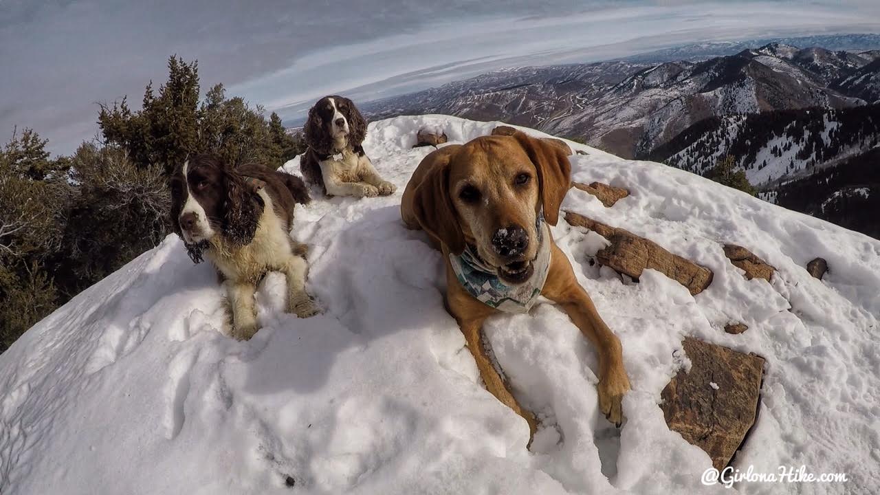
Charlie has to be on the very top!
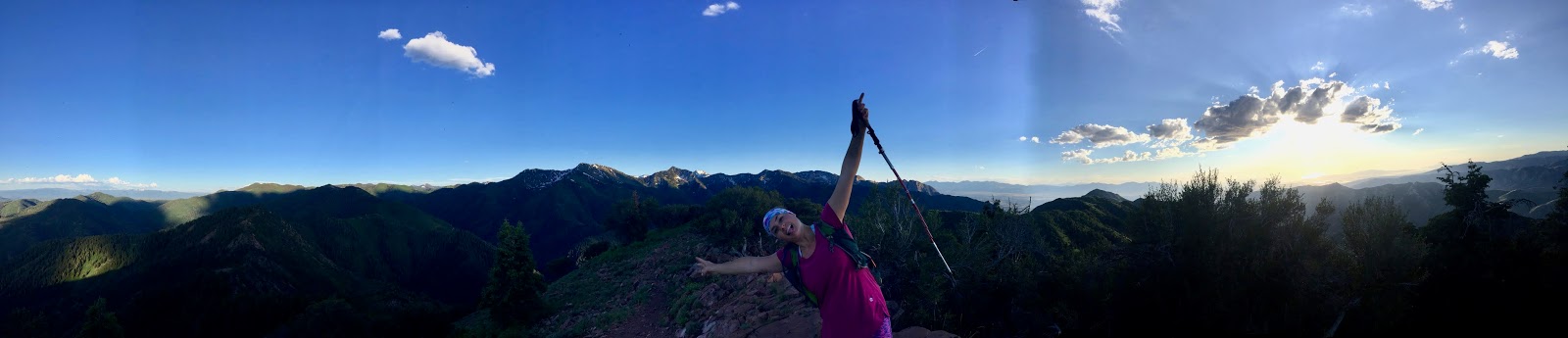
Pano!
February 2018
This is the Winter trail map for hiking to Mt. Aire, which starts at the Millcreek Winter gate.
My track via Gaia GPS – the best tracking app! Get your app here for a discount.
Nearby Hike

Save me on Pinterest!